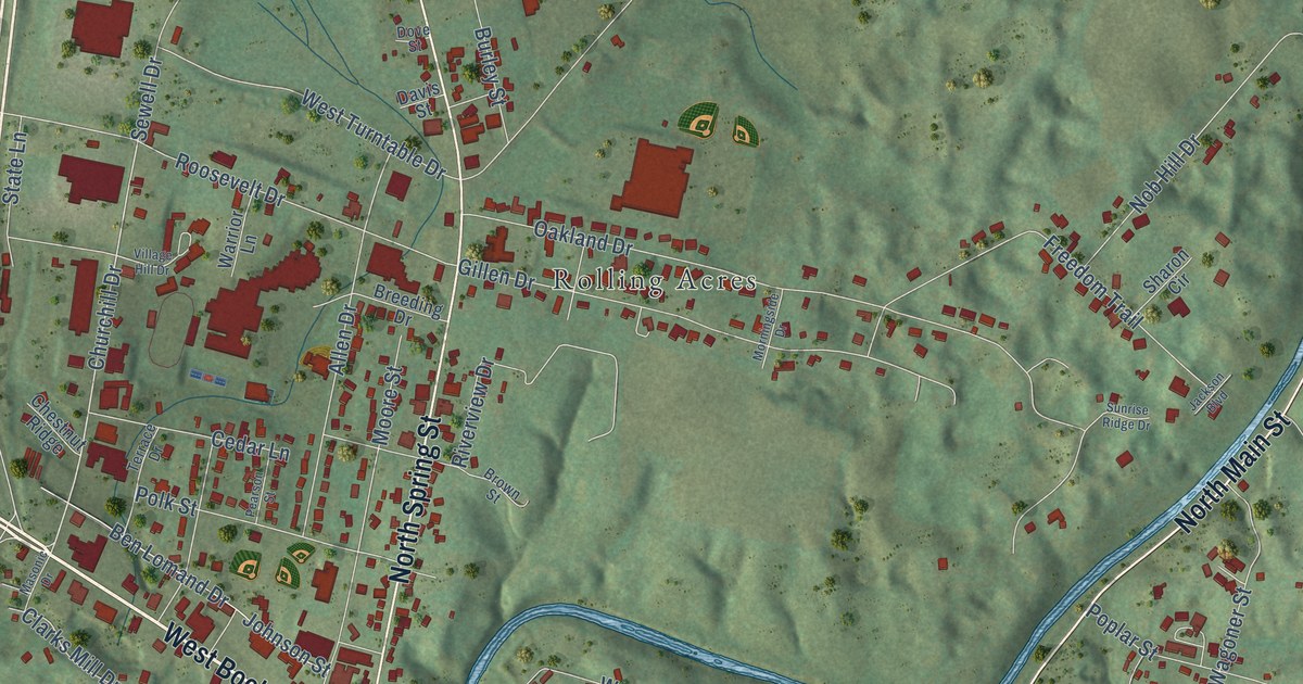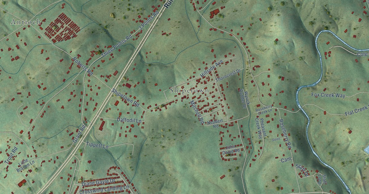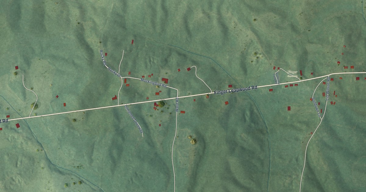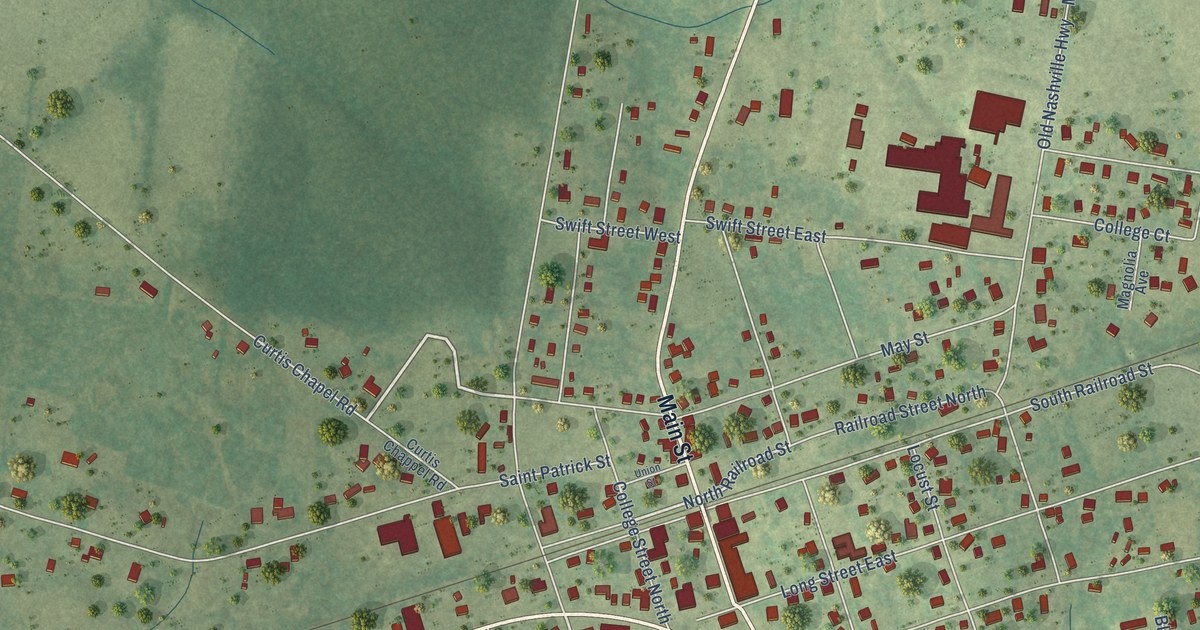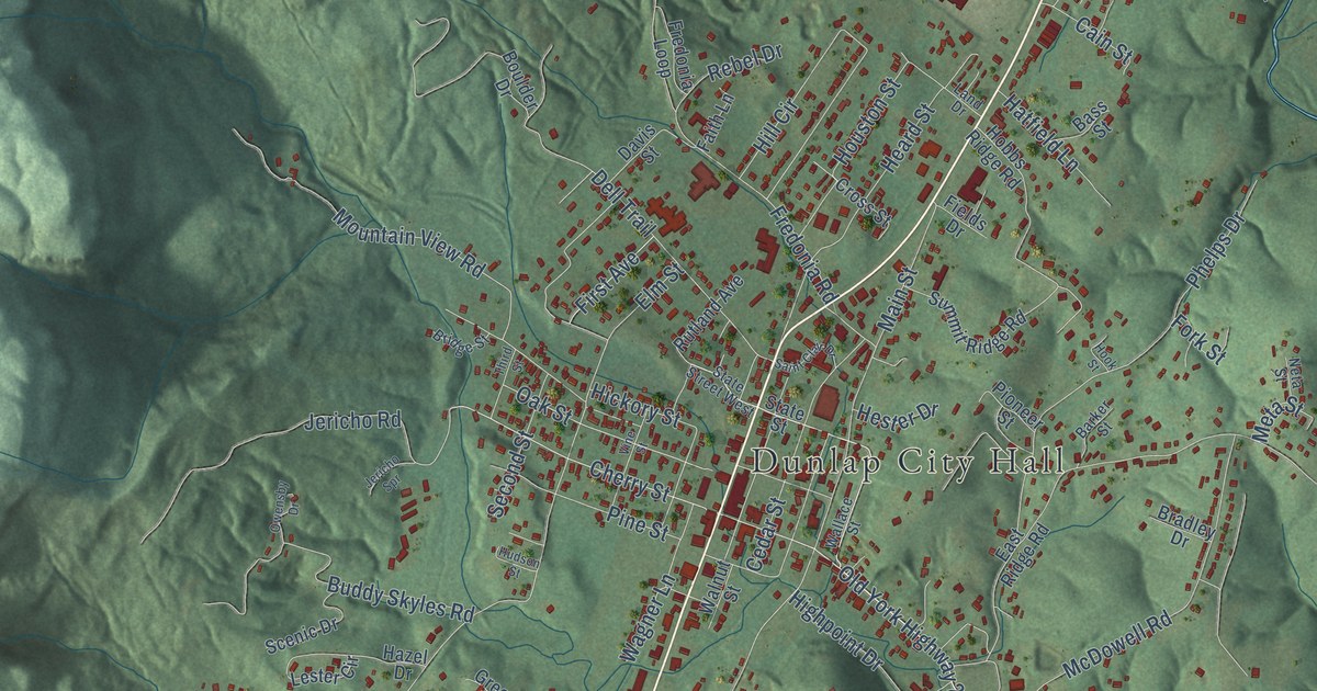
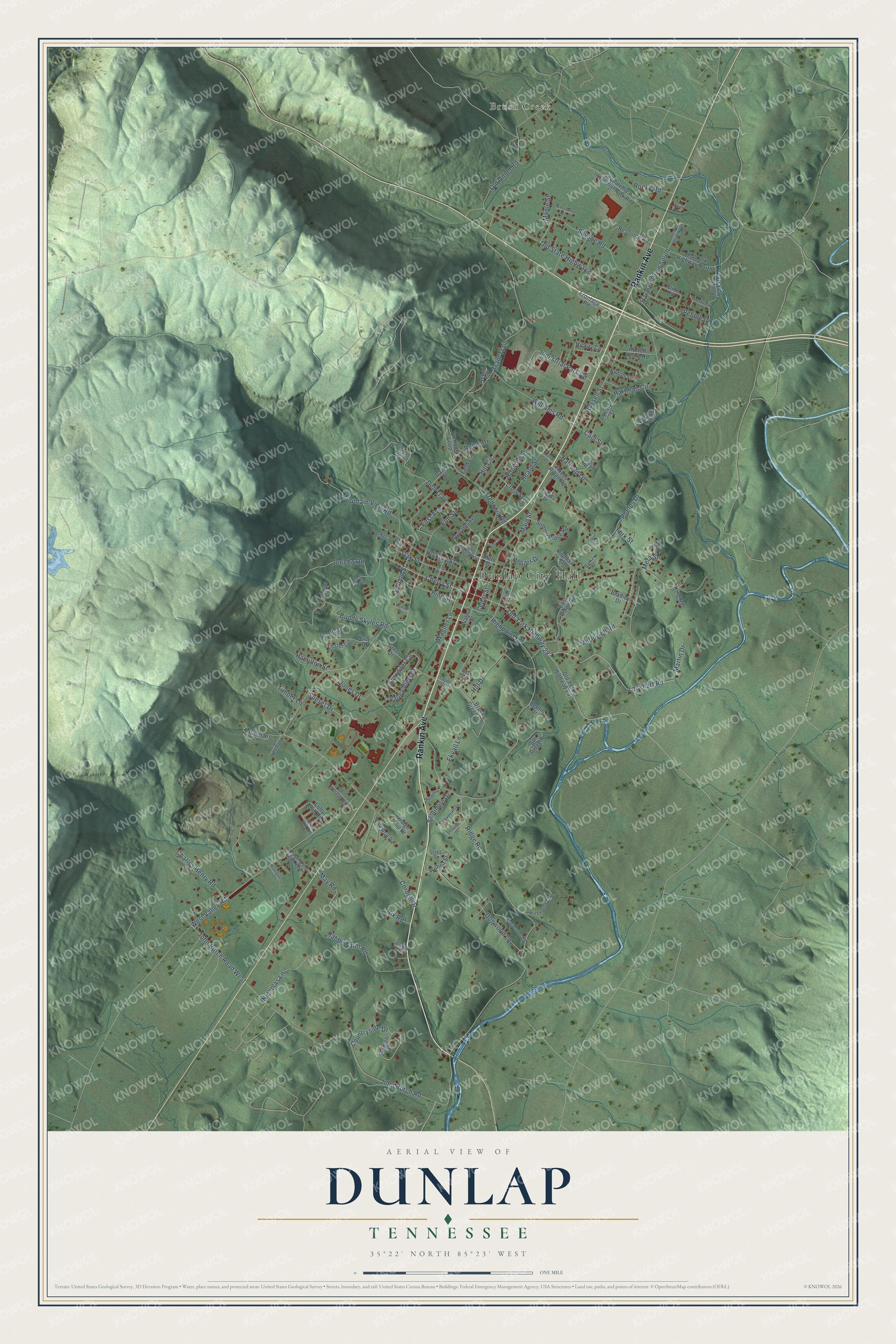
This beautifully detailed map of Dunlap, Tennessee was created in 2026 using aerial imagery combined with modern topographical, census, street and landmark data. It's a modern aerial view of Dunlap in Sequatchie County, Tennessee, that combines modern data with a vintage aesthetic. The roads feature printed names, and if you look closely you can find your exact house accurately shown in its correct location.
Explore an aerial view of Dunlap, Tennessee
On this map you'll find Dunlap City Hall, Brush Creek, Rankin Avenue, Old York Highway 28, Lockhart Road, Cherry Street, Cordell Drive, Oak Street, Ridge Road, John Burch Road, Elm Street, Main Street, and more. Each red shape is a building, so zoom in on the preview and look for yours.
Every town has a first chapter, and Dunlap is no exception. The record at tennesseeencyclopedia.net puts it this way: "Daus, originally known as Delphi and located south of Dunlap, began as a small farming community until the railroad came in the 1880s."
Dunlap is a city in Sequatchie County. The Census Bureau counted 5,357 people here in 2020.
Take a closer look at the Dunlap map
Names on this map
These names are printed on this map.
Places: Dunlap City Hall and Brush Creek.
Streets and roads: Rankin Avenue, Old York Highway 28, Lockhart Road, Cherry Street, Cordell Drive, Oak Street, Ridge Road, John Burch Road, Elm Street, Main Street, Highpoint Drive, Tram Trail.
More street names, A to Z
Acorn Street, Apache Lane, Barker Street, Bass Street, Bernie Drive, Boulder Drive, Bradley Drive, Bridge Street, Bruce Green Road, Brush Creek Road, Buddy Skyles Road, Cain Street, Carpenter Road, Cedar Street, Charles Henry Road, Cherokee Street, Cline Circle, Clover Dale Road North, Clyde Newman Lane, Countryside Drive, Court Loop, Creekview Lane, Cross Street, Davis Street, Dell Trail, Destin Drive, Dogwood Lane, East Ridge Road, Ekvall Lane, Ewton Street, Faith Lane, Fields Drive, First Avenue, Fork Street, Fox Run Drive, Fredonia Loop, Fredonia Road, Frontage Road, Greer Drive, Hamilton Street, Harmon Drive North, Harmon Drive South, Hartman Circle, Hatfield Lane, Hazel Drive, Heard Street, Hester Drive, Hickey Circle, Hickory Street, Hidden Trail, Hill Circle, Hill Drive, Hobbs Ridge Road, Hook Street, Houston Street, Hubert Heard Road, Hudson Street, Industrial Park Road, Jericho Road, Jericho Spr, John Burch Road West, Jones Drive, King Road, Land Drive, Layne Drive, Lester Circle, Lofty Sub Road, Maple Street, Martin Drive, May Road, McDowell Road, Meta Street, Michigan Lane, Mountain View Road, Neta Street, Newman Lane, Nicholas Lane, Nix Road, Old State Highway 8, Old Union Road, Old York Highway East, Old York Highway North, Owensby Drive, Pebble Drive, Phelps Drive, Pine Street, Pioneer Street, Rabbit Farm Road, Rebel Drive, Resource Road, Ridge Top Drive, Riverbend Trail, Robin Hill Road, Rocky Road, Rowdy Road, Russell Street, Rutland Avenue, Saint Clair Drive, Savage Road, Scenic Drive, Second Street, Self Storage Road, Seminole Drive, Sequatchie Industrial Park Road, Sequoyah Drive, Sharp Street, Shawnee Drive, Skyhigh Drive, Spr Ridge Road, Stagg Street, Standifer Circle, State Street, State Street West, Summit Ridge Road, Sunset Drive, Third Street, Timber Lane, Valley View Drive, Vine Street, Wagner Lane, Wallace Street, Walnut Street, West Valley Road, Wilhoit Street, Williams Road.
Created by KNOWOL in 2026. The buildings are small red shapes, the roads carry their printed names, and shaded relief shows the shape of the land. The title panel reads "AERIAL VIEW OF DUNLAP TENNESSEE" with 35°22' NORTH 85°23' WEST.
Hang it in the hallway, the office or the cabin, or give it to someone who left Dunlap and still calls it home. Open the preview and look for a street you know. See sizes and frames for the Dunlap map.