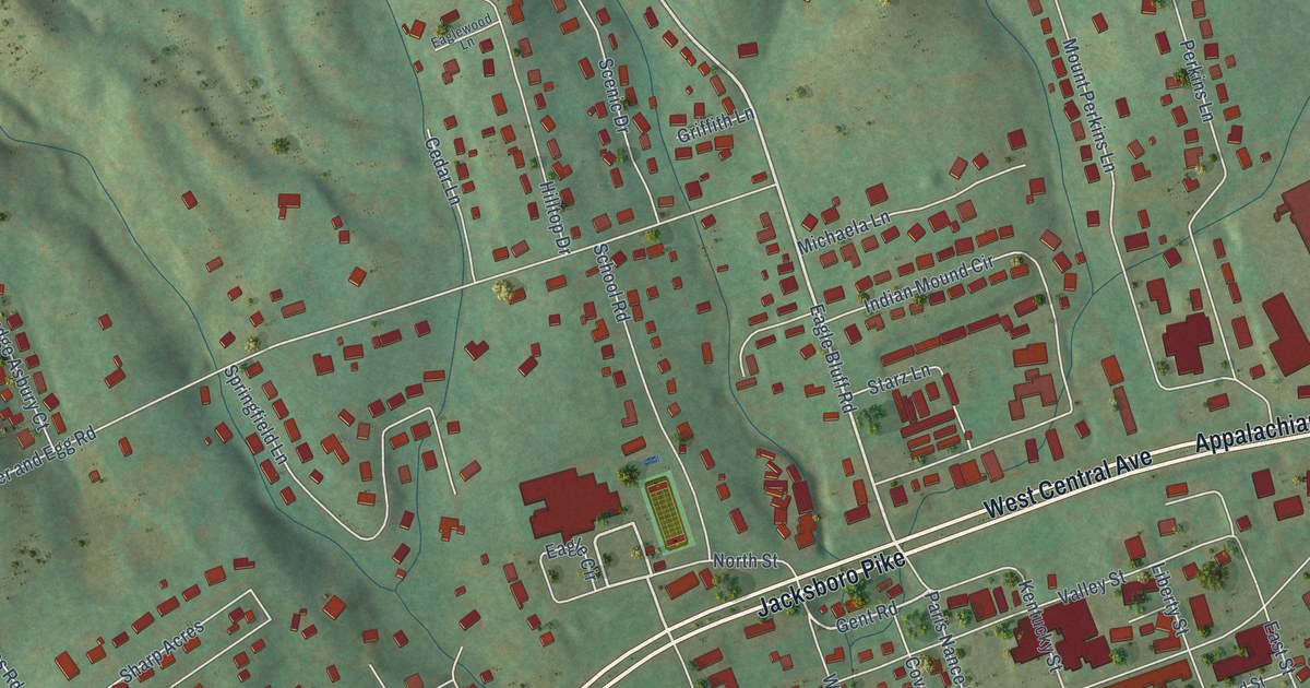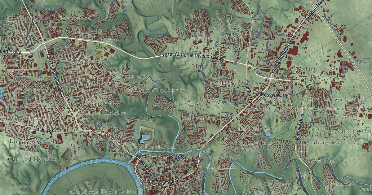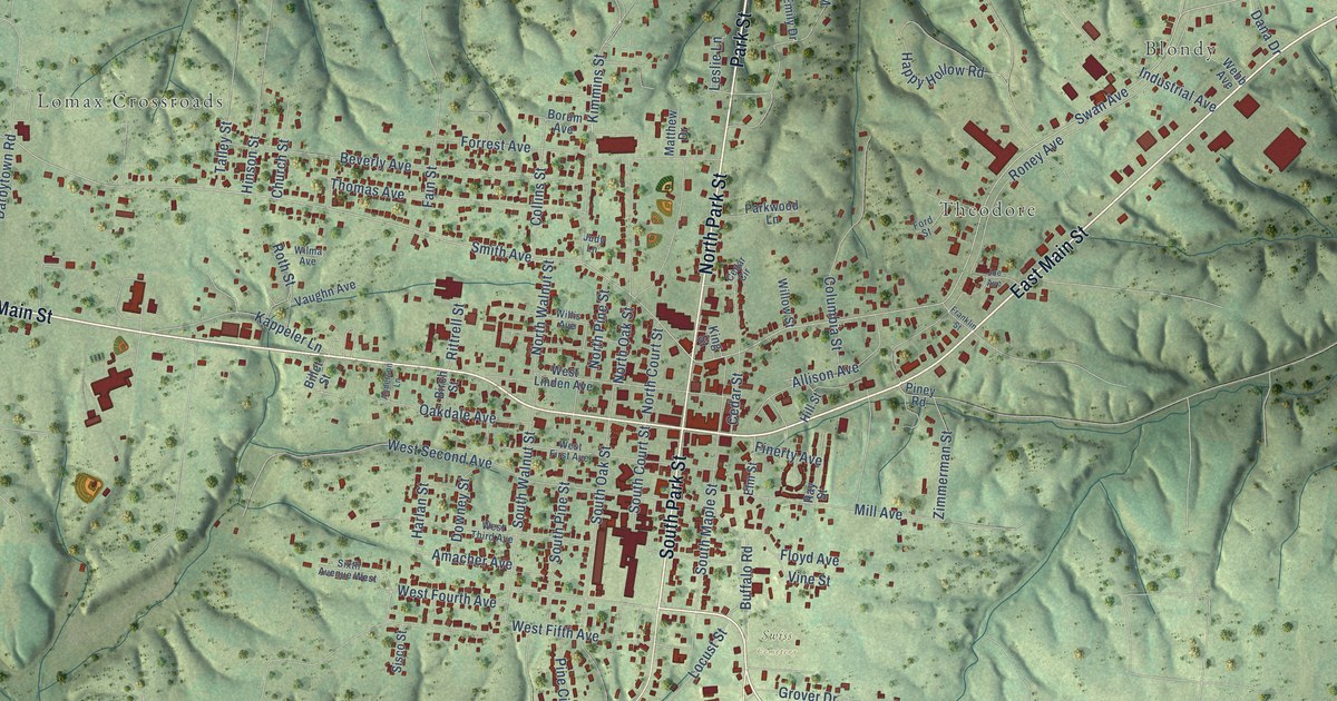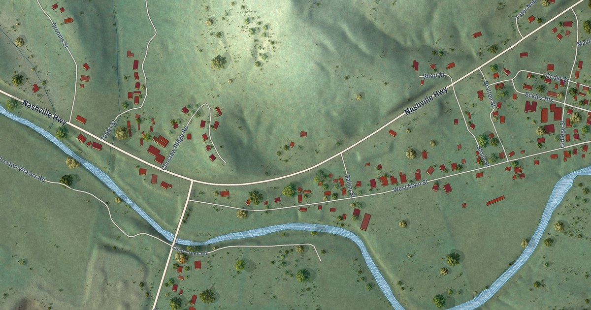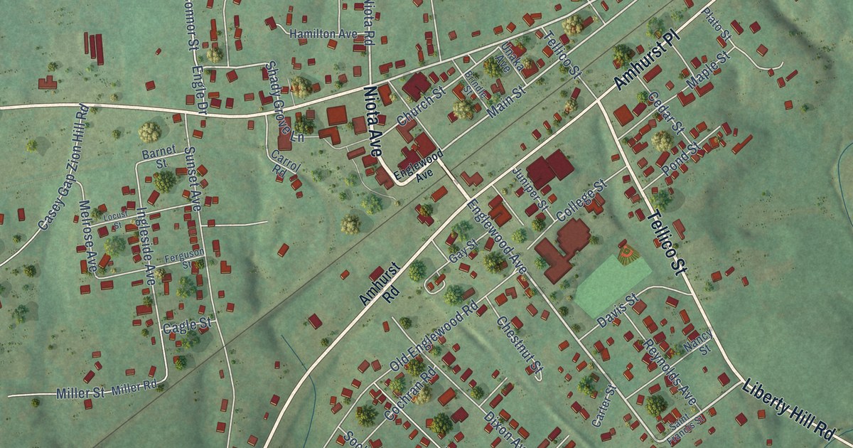
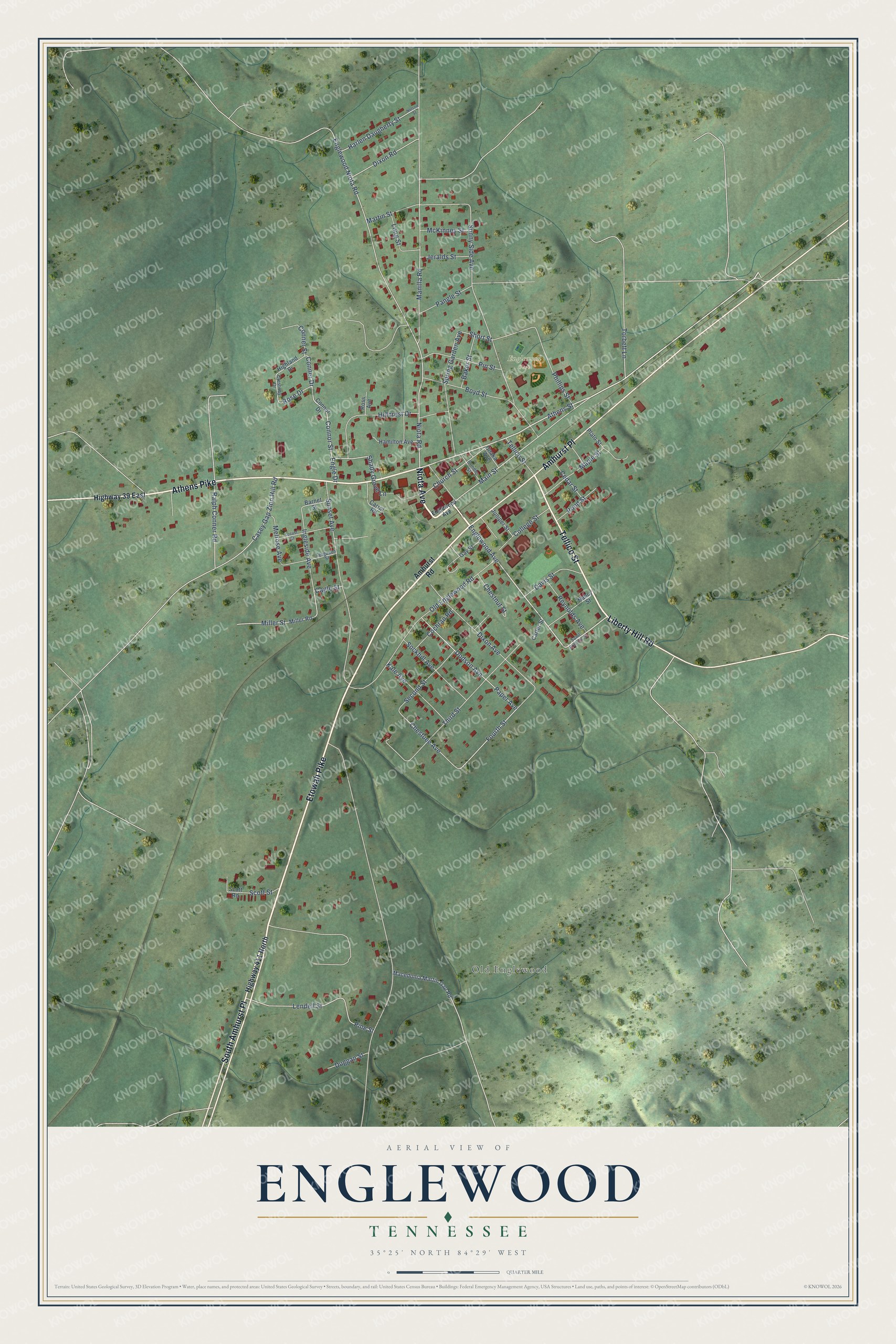
This beautifully detailed map of Englewood, Tennessee was created in 2026 using aerial imagery combined with modern topographical, census, street and landmark data. It's a modern aerial view of Englewood in McMinn County, Tennessee, that combines modern data with a vintage aesthetic. The roads feature printed names, and if you look closely you can find your exact house accurately shown in its correct location.
Explore an aerial view of Englewood, Tennessee
On this map you'll find Old Englewood, Englewood Park, Niota Avenue, Tellico Street, Athens Pike, South Amhurst Place, Etowah Pike, Amhurst Place, Liberty Hill Road, Englewood Avenue, Athens Street, Niota Road, and more. Each red shape is a building, so zoom in on the preview and look for yours.
Every town has a first chapter, and Englewood is no exception. The National Register of Historic Places puts it this way: "In 1887, the Knoxville Southern Railroad built a railroad line through eastern McMinn County that
crossed the Tellico Railroad near the community of Englewood."
Englewood is a town in McMinn County. The Census Bureau counted 1,483 people here in 2020.
Take a closer look at the Englewood map
Names on this map
These names are printed on this map.
Places: Old Englewood and Englewood Park.
Streets and roads: Niota Avenue, Tellico Street, Athens Pike, South Amhurst Place, Etowah Pike, Amhurst Place, Liberty Hill Road, Englewood Avenue, Athens Street, Niota Road, Shady Grove Lane, Main Street.
More street names, A to Z
Amhurst Road, Baker Street, Barnet Street, Boyd Street, Brindle Street, Cagle Street, Carrol Road, Carter Street, Casey Gap Zion Hill Road, Cedar Street, Chestnut Street, Chestuee Avenue, Church Street, Cochran Road, College Street, Conner Drive, Conner Street, Connor Drive, Connor Street, Crestway Drive, Davis Street, Dixon Avenue, Dixon Road, Dodson Avenue, Duggan Street, Engle Drive, Englewood Niota Road, Ferguson Street, Fourth Street, Gay Street, Hamilton Avenue, Harlen Daugherty Street, Highland Drive, Highway 39 East, Highway 411 North, Hillcrest Drive, Ingleside Avenue, Jeralds Street, Juniper Street, Kale Avenue, Lendell Street, Locust Street, Long Street, Macedonia Martin Gap Road, Manilla Road, Maple Street, Martin Street, McKinney Street, Melrose Avenue, Miller Road, Miller Street, Nancy Street, Nelson Street, Old Englewood Road, Pangle Street, Paper Avenue, Phillips Street, Pine Street, Pin Street, Plato Street, Pond Street, Ralph Conner Road, Reynolds Avenue, Rose Drive, Ross Avenue, Saint Francis Street, Scott Road, Scott Street, Second Street, Short Street, Sockhill Avenue, Spring Garden Avenue, Sunny Side Avenue, Sunset Avenue, Third Street, Torbett Lane, Unaka Avenue.
Created by KNOWOL in 2026. The buildings are small red shapes, the roads carry their printed names, and shaded relief shows the shape of the land. The title panel reads "AERIAL VIEW OF ENGLEWOOD TENNESSEE" with 35°25' NORTH 84°29' WEST.
Hang it in the hallway, the office or the cabin, or give it to someone who left Englewood and still calls it home. Open the preview and look for a street you know. See sizes and frames for the Englewood map.