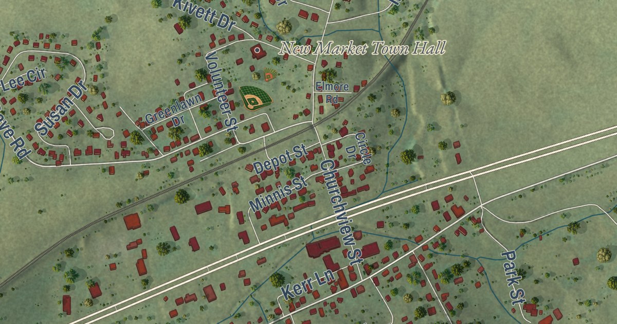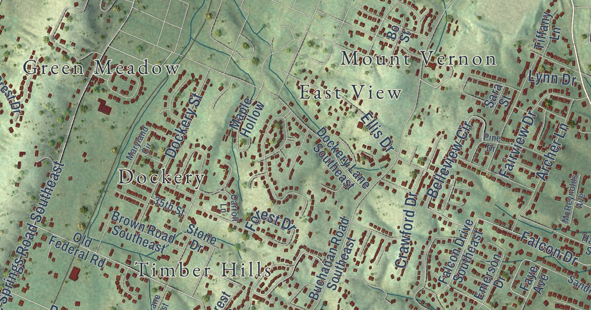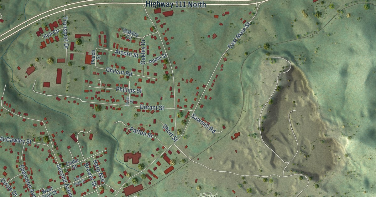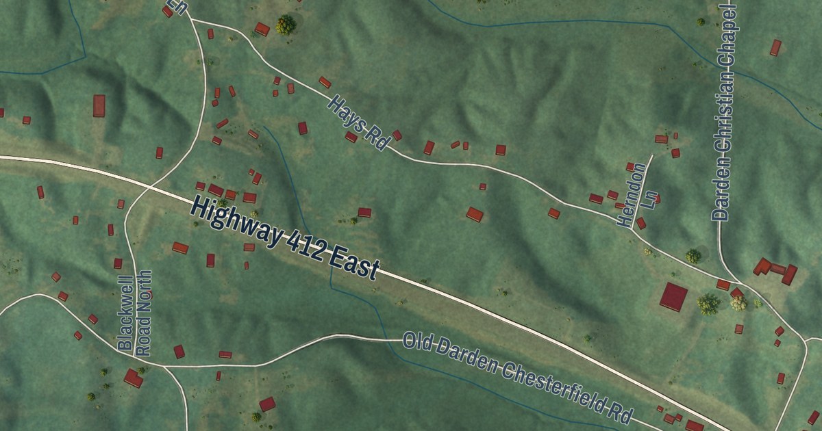
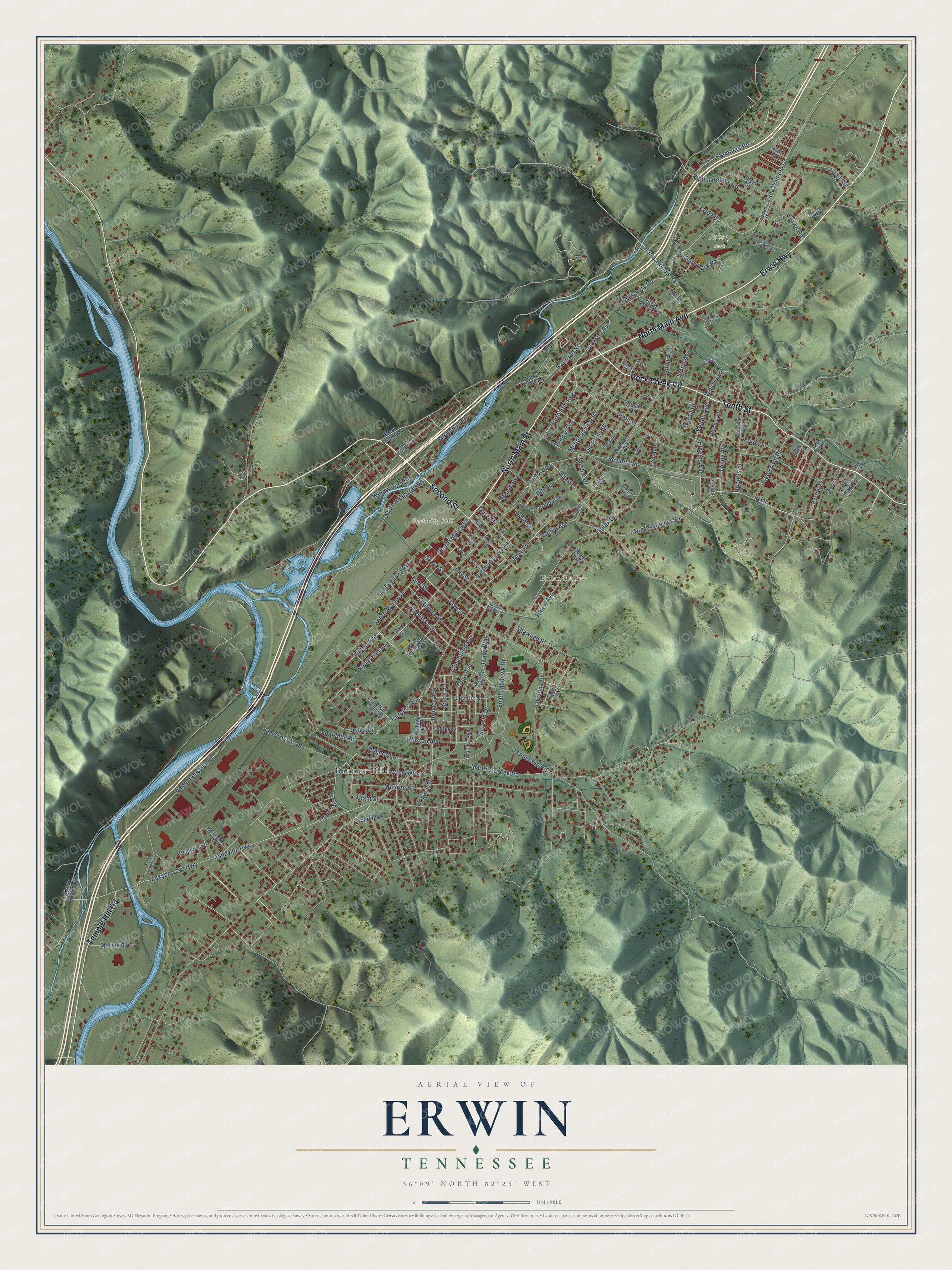
This beautifully detailed map of Erwin, Tennessee was created in 2026 using aerial imagery combined with modern topographical, census, street and landmark data. It’s a one-of-a-kind view of Erwin that combines accurate data with a vintage aesthetic. The map shows every building in its true location, many of the roads carry their names, and the shaded topographic relief shows the shape of the land.
Explore an aerial view of Erwin, Tennessee
On the map you’ll find Erwin City Hall, Riverview, Fishery Park, Banner Hill, and Hulan Hollow, along with Second Street, North Main Street, North Main Avenue, Erwin Highway, Rock Creek Road, Tenth Street, Temple Hill Road, and more. If you look closely you can even find your house accurately drawn in its correct location. Zoom in on the preview to look for yours.
Did you know this piece of Erwin, Tennessee history?
From Tennesseeencyclopedia.net: "The railroad remained the major employer until 1916 when Southern Potteries opened in Erwin."
Take a closer look at the Erwin map
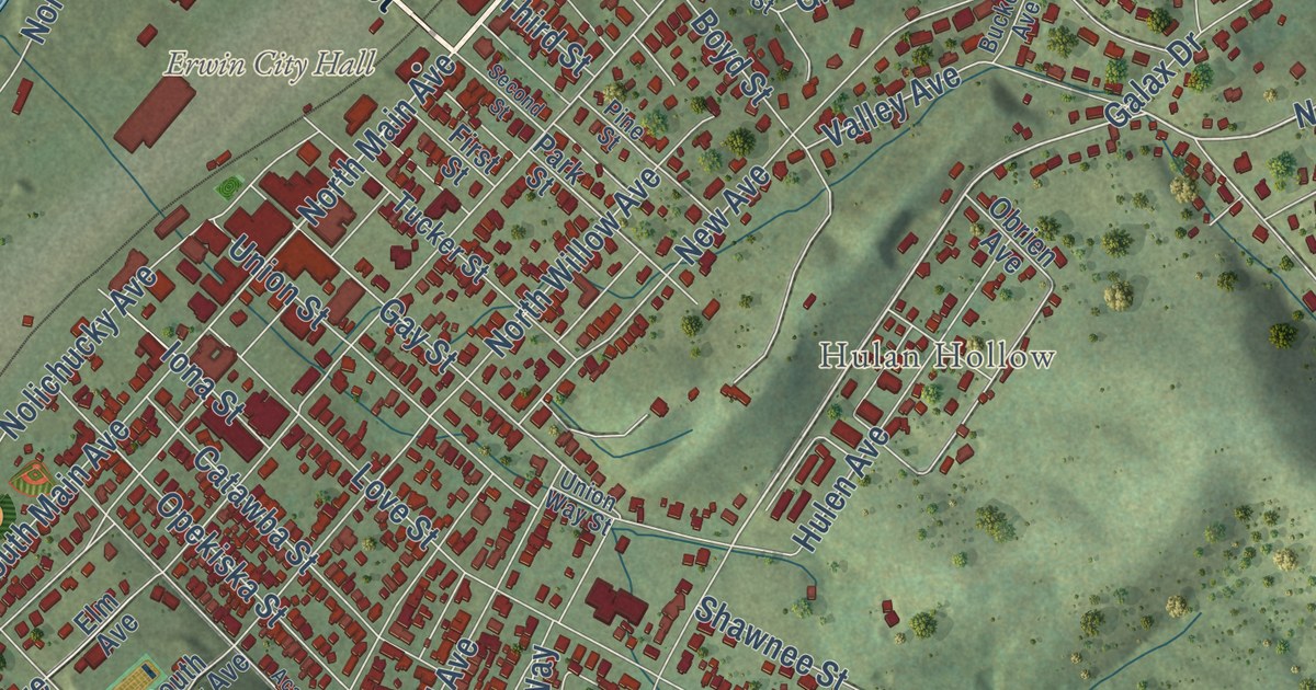
Street and place names on the Erwin, Tennessee map
These names are printed on the map of Erwin, Tennessee.
Places: Erwin City Hall, Banner Hill, Fishery Park and Hulan Hollow.
Streets and roads: North Main Avenue, North Main Street, Second Street, Erwin Highway, Tenth Street, Rock Creek Road, Temple Hill Road, Zane Whitson Drive, Old Fishery Road, North Mohawk Drive, Jackson Avenue, Stampers Road.
More street names, A to Z
Academy Street, Adam Street, Asheville Highway, Ash Street, Balsam Drive, Banner Springs Road, Berkshire Drive, Boyd Street, Broad Street, Brown Road, Broyles Avenue, Buchanan Street, Buckeye Avenue, Carolina Avenue, Casey Jones Road, Catawba Street, Cedar Avenue, Chestnut Avenue, Clinchfield Avenue, Clover Drive, Coffee Street, Diane Avenue, East Erwin Road, Edney Lane, Elliot Avenue, Elm Avenue, Fanning Avenue, Federal Hatchery Road, Fender Lane, First Street, Fishery Park Road, Ford Street, Galax Drive, Gay Street, Grove Avenue, Harris Hollow Road, Hemlock Street, Hendren Road, Henley Drive, Higgins Avenue, Hill Avenue, Hoback Street, Holly Avenue, Holston Avenue, Horton Ridge Road, Hughes Lane, Hulen Avenue, Iona Street, Jackson Love Highway, Johnson Loop Road, Jones Drive, Jones Road, Lacy Street, Lattie Miller Road, Lee Avenue, Levelin Street, Lewis Lane, Love Street, Lyle Road, Maple Avenue, Martins Creek Road, McDavid Lane, Mc Nabb Street, Mesa Drive, Monroe Street, Mountainview Road, Myrtle Avenue, New Avenue, Ninth Street, Nolichucky Avenue, Norris Street, North Buffalo Street, North Elm Avenue, North Industrial Drive, North Industrial Road, North Willow Avenue, Obrien Avenue, Ohio Avenue, Okolona Drive, Old Farm Road, Old Stage Road, Oneega Avenue, Opekiska Street, Park Street, Pine Street, Pippin Circle, Pippin Hollow Road, Prince Avenue, Quail Run, Railroad Street, Red Rock Drive, Rex Lewis Lane, Robbins Avenue, Roberts Street, Sandy Bottom Road, Sarah Day Road, Seventh Street, Shawnee Street, Signal Lane, Simmons Avenue, Sinasta Drive, Smith Avenue, South Avenue, South Elm Avenue, South Industrial Drive, South Main Avenue, South Mohawk Drive, South Willow Avenue, Spar Mill Road, Spring Street, Spruce Drive, Staley Lane, Tennessee Road, Third Street, Tipton Street, Toney Avenue, Tucker Street, Unaka View Drive, Unaka Way, Union Street, Union Way Street, Valley Avenue, Vinton Avenue, Wapika Avenue, Washington Street, Watauga Avenue, West Walnut Drive, White Street, Willow Park Road, Witcher Lane, Witcher Street, Woodland Drive, Yelton Avenue.
See the Erwin, Tennessee map on a wall
The Erwin map as an 18 x 24 inch print in a black frame.

This beautifully detailed map of Erwin makes an attractive addition to your office, library, or den, and it can even be used to teach children the geography and history of the area. It also makes a great gift for someone who left Erwin and still calls it home. When you’re done exploring, click here to get your copy of the Erwin map.