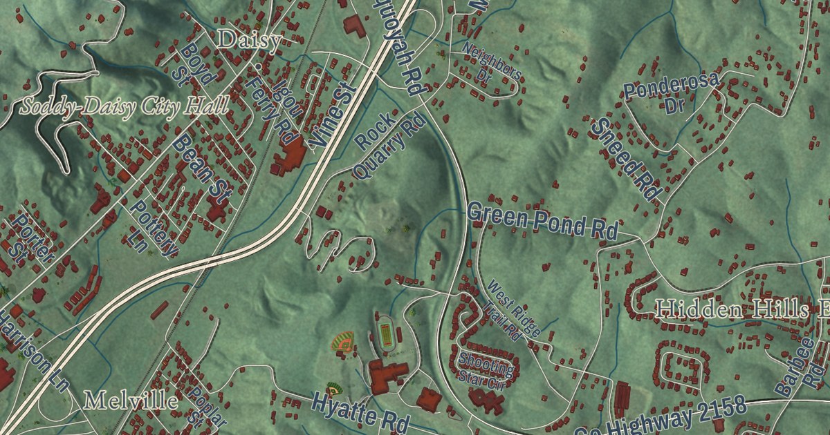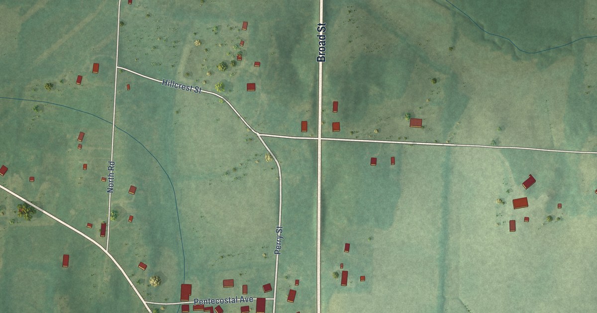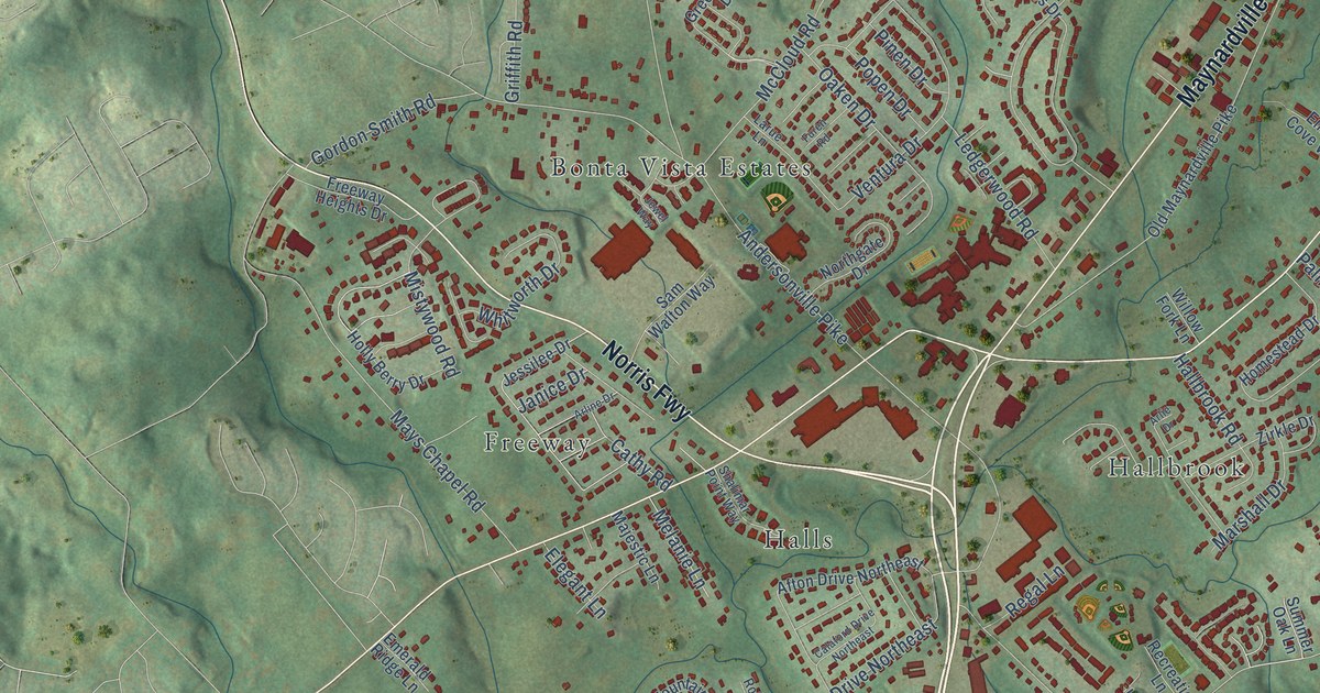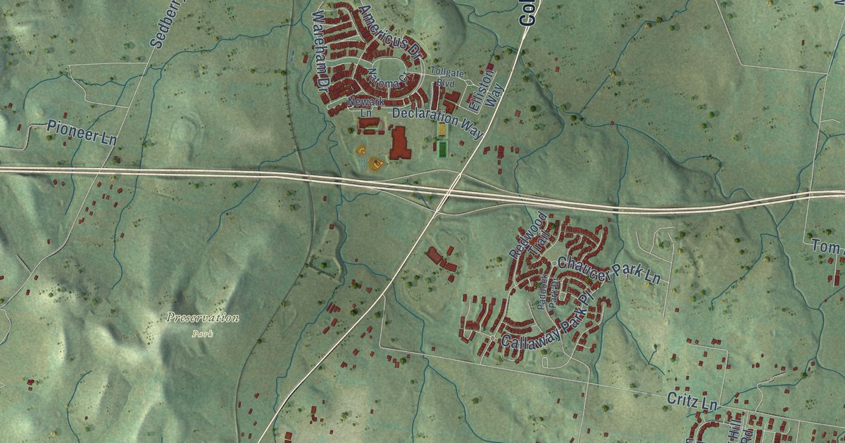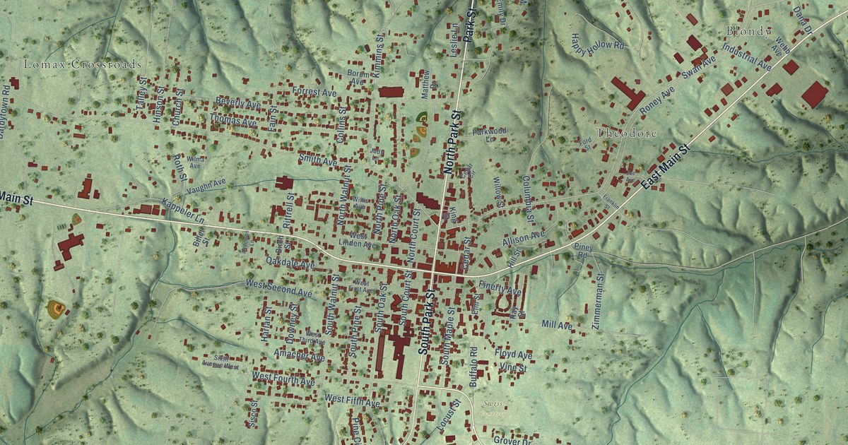
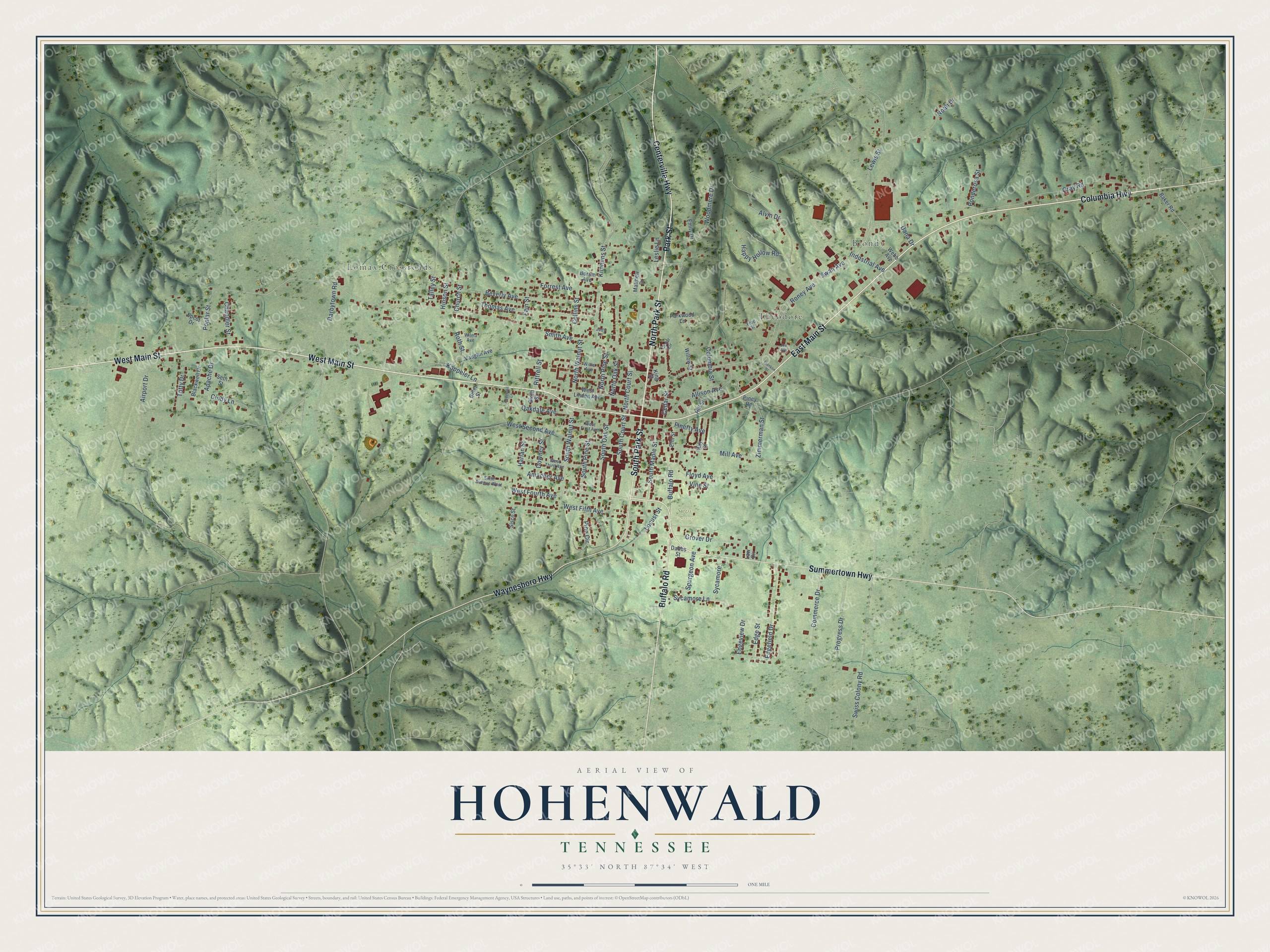
This beautifully detailed map of Hohenwald, Tennessee was created in 2026 using aerial imagery combined with modern topographical, census, street and landmark data. It’s a one-of-a-kind view of Hohenwald that combines accurate data with a vintage aesthetic. The map shows every building in its true location, many of the roads carry their names, and the shaded topographic relief shows the shape of the land.
Explore an aerial view of Hohenwald, Tennessee
On the map you’ll find Blondy, Theodore, Lomax Crossroads, and Swiss Cemetery, along with West Main Street, East Main Street, Columbia Highway, North Park Street, Centerville Highway, Park Street, Summertown Highway, Buffalo Road, and more. If you look closely you can even find your house accurately drawn in its correct location. Zoom in on the preview to look for yours.
Did you know this piece of Hohenwald, Tennessee history?
From Tennesseeencyclopedia.net: "Probst purchased thirteen thousand acres in Lewis County for his colony and founded the Swiss Pioneer Union to attract potential immigrant settlers."
Take a closer look at the Hohenwald map
Street and place names on the Hohenwald, Tennessee map
These names are printed on the map of Hohenwald, Tennessee.
Places: Blondy, Theodore, Lomax Crossroads and Swiss Cemetery.
Streets and roads: West Main Street, East Main Street, Columbia Highway, North Park Street, Centerville Highway, Park Street, Summertown Highway, Buffalo Road, South Park Street, Waynesboro Highway, Sycamore, Swan Avenue.
More street names, A to Z
Airport Drive, Allison Avenue, Alvin Drive, Amacher Avenue, Anderson Lane, Apache Drive, Baker Road, Beverly Avenue, Billet Street, Birch Street, Blackwell Drive, Borum Avenue, Cedar Circle, Cedar Street, Chandler Street, Church Street, Cindy Lane, Collins Street, Columbia Street, Commerce Drive, Dabbs Street, Dana Drive, Darbytown Road, Downey Street, Edgefield Drive, Edge Street, Edgeview Drive, Elm Street, Emily Drive, Epcot Drive, Fain Street, Finerty Avenue, Floyd Avenue, Ford Street, Forrest Avenue, Franklin Street, Gray Road, Grover Drive, Happy Hollow Road, Harlan Street, Hill Street, Hinson Street, Industrial Avenue, Joe Avenue, Judy Lane, Kappeler Lane, Kimmins Street, King Street, Law Circle, Leslie Lane, Lewis Street, Locust Street, Matthew Drive, Mill Avenue, Noah Drive, North Court Street, North Oak Street, North Pine Street, North Walnut Street, Oakdale Avenue, Parkwood Lane, Pine Circle, Piney Road, Ponderosa Street, Poplar Street, Progress Drive, Ray Street, Rittrell Street, Roney Avenue, Roth Street, Seth Street, Sisco Street, Sixth Avenue West, Smith Avenue, South Court Street, South Maple Street, South Oak Street, South Pine Street, South Walnut Street, Spurgeon Avenue, Swiss Colony Road, Sycamore Lane, Talley Street, Thomas Avenue, Totty Drive, Vaughn Avenue, Vine Street, Webb Avenue, West Fifth Avenue, West First Avenue, West Fourth Avenue, West Linden Avenue, West Second Avenue, West Third Avenue, Willis Avenue, Willow Street, Wilma Avenue, Woodmere Drive, Zimmerman Street.
See the Hohenwald, Tennessee map on a wall
The Hohenwald map as an 18 x 24 inch print in a black frame.

This beautifully detailed map of Hohenwald makes an attractive addition to your office, library, or den, and it can even be used to teach children the geography and history of the area. It also makes a great gift for anyone who grew up in Hohenwald or moved away. When you’re done exploring, click here to get your copy of the Hohenwald map.