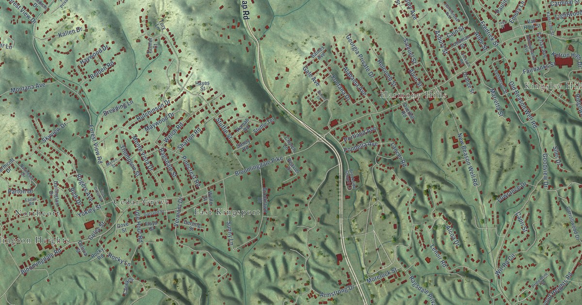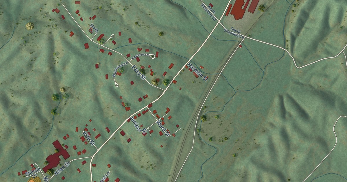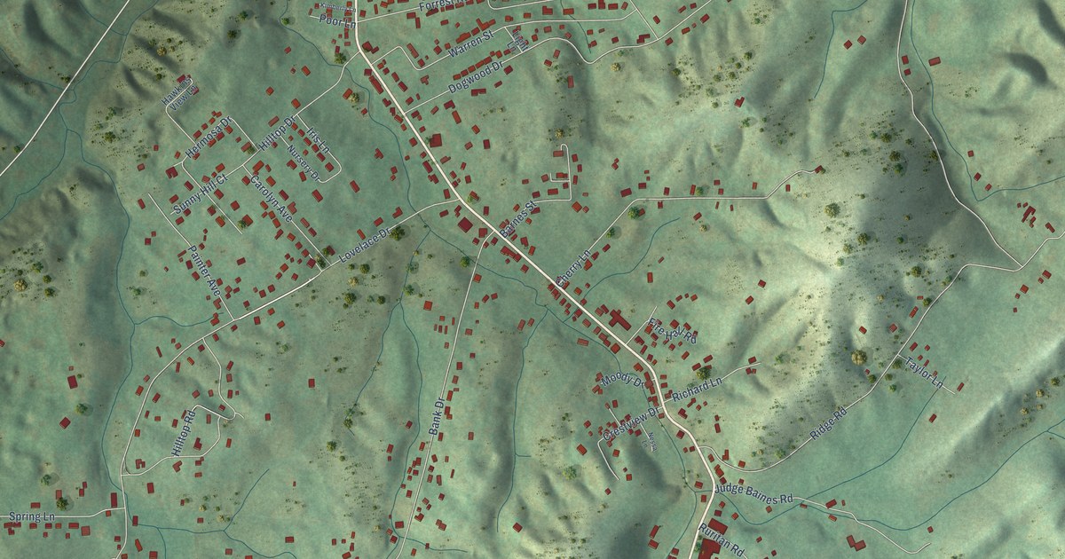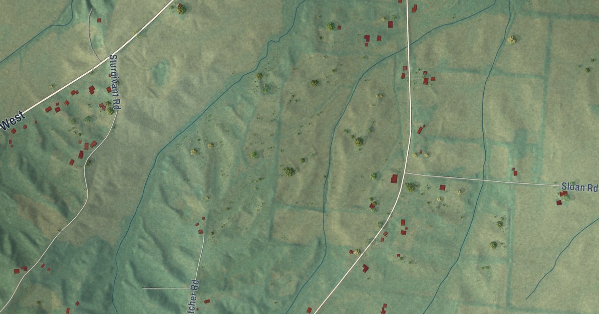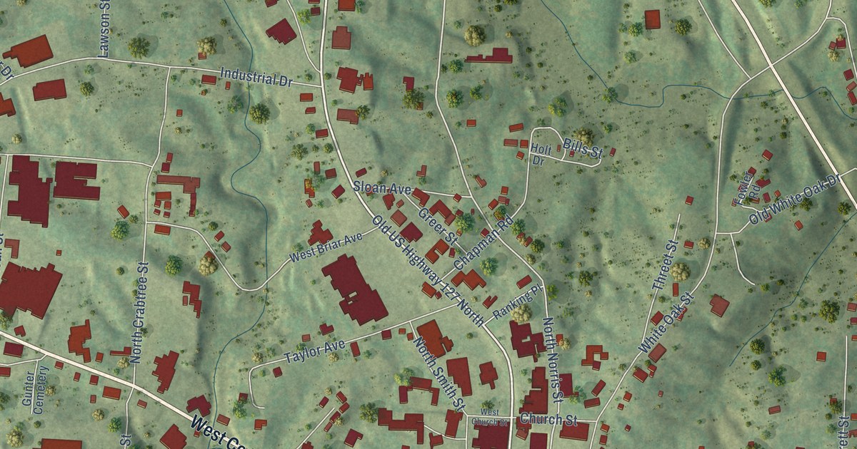
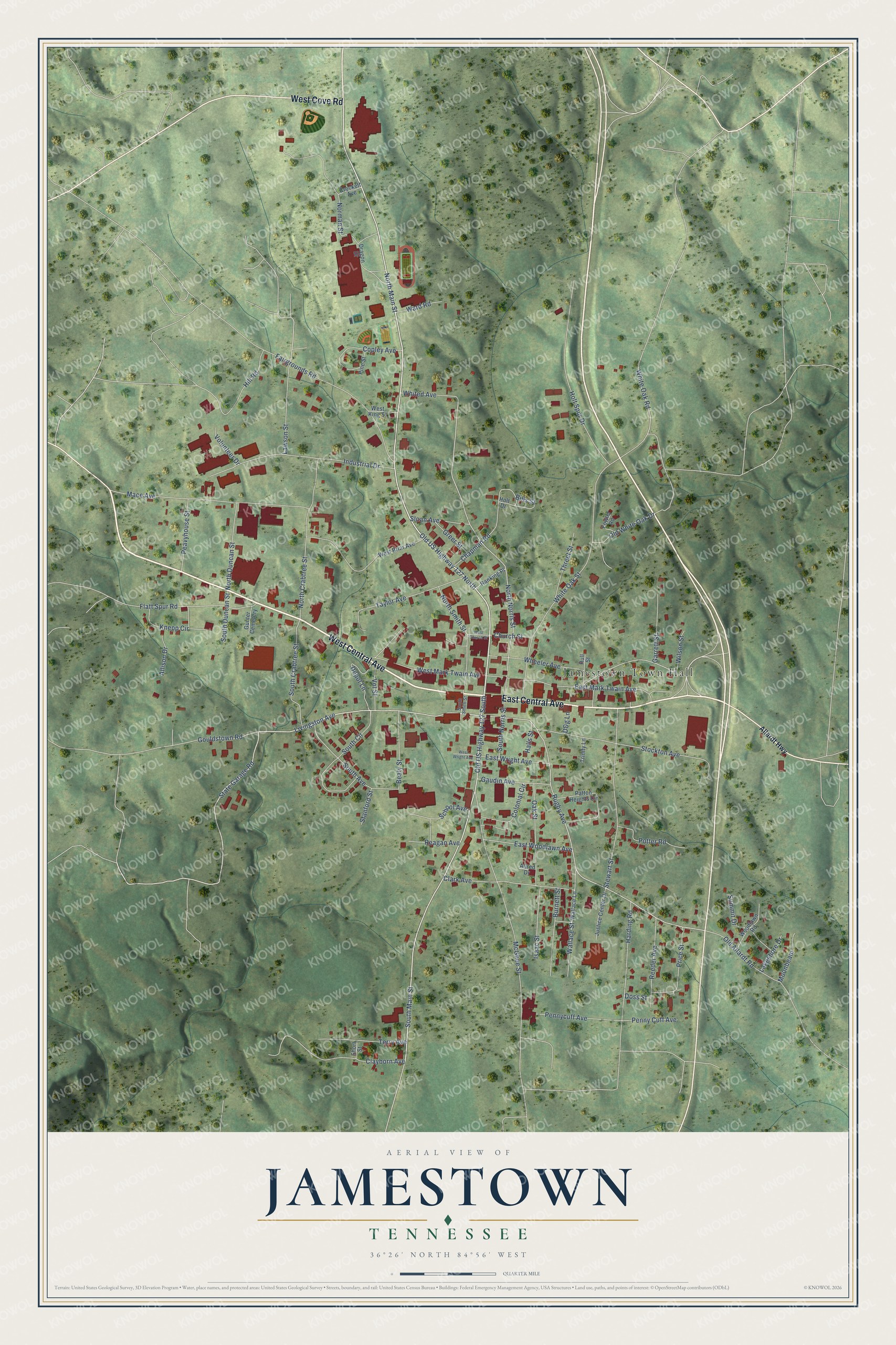
This beautifully detailed map of Jamestown, Tennessee was created in 2026 using aerial imagery combined with modern topographical, census, street and landmark data. It's a modern aerial view of Jamestown in Fentress County, Tennessee, that combines modern data with a vintage aesthetic. The roads feature printed names, and if you look closely you can find your exact house accurately shown in its correct location.
Explore an aerial view of Jamestown, Tennessee
On this map you'll find Jamestown Town Hall, West Central Avenue, East Central Avenue, West Cove Road, Livingston Avenue, North Main Street, Old US Highway 127 North, South Main Street, State Garage Road, Rugby Avenue, North Norris Street, Bills Street, and more. Each red shape is a building, so zoom in on the preview and look for yours.
Here is a piece of Jamestown history, in the words of the record. The record at tennesseeencyclopedia.net puts it this way: "During these years industry became more important in the county as six manufacturing firms located in Jamestown by the 1940s."
Jamestown is a city in Fentress County. The Census Bureau counted 1,935 people here in 2020.
Take a closer look at the Jamestown map
Names on this map
These names are printed on this map.
Places: Jamestown Town Hall and Gunter Cemetery.
Streets and roads: West Central Avenue, East Central Avenue, West Cove Road, Livingston Avenue, North Main Street, Old US Highway 127 North, South Main Street, State Garage Road, Rugby Avenue, North Norris Street, Bills Street, Old US Highway 127 South.
More street names, A to Z
Allardt Highway, Allison Drive, Allred Drive, Beaty Street, Burnett Street, Chapman Road, Church Street, Clark Avenue, Clayborn Avenue, Colonial Circle, Copley Avenue, Crockett Avenue, D&g Lane, Depot Lane, Doss Street, Dragon Drive, East Mark Twain Avenue, East Woodlawn Avenue, East Wright Avenue, Fairgrounds Road, Flatt Spur Road, Fowler Road, Garrett Street, Gaudin Avenue, Gouldstown Road, Greer Street, Halls Street, Harding Road, Hill Road, Holt Drive, Holt Spur Drive, Hull Street, Industrial Drive, Isaac Street, Justice Center Drive, Knepp Circle, Lakeshore Drive, Lawson Street, Mace Avenue, McGhee Street, Moonbeam, Norman Street, North Crabtree Street, North Duncan Street, North Smith Street, Oak Street, Old Allardt Road, Old White Oak Drive, Patton Heights Circle, Peavyhouse Street, Pennycuff Avenue, Penny Cuff Avenue, Pine Street, Potter Road, Price Street, Ranking Place, Reagan Avenue, Reeder Avenue, School Avenue, Short Street, Sloan Avenue, South Avenue, South Circle, South Crabtree Street, South Duncan Street, South Norris Street, South Smith Street, Stanford Street, Stewart Street, Stockton Avenue, Summit Drive, Taylor Avenue, Terry Avenue, Threet Street, Trinity Lane, Vol Street, Volunteer Drive, Wallace Lane, Wallace Street, Ward Road, West Briar Avenue, West Church Street, West King Street, West Mark Twain Avenue, West Wright Avenue, Wheeler Avenue, Whited Avenue, White Oak Road, White Oak Street, Wilson Street, Woodlawn Road.
Created by KNOWOL in 2026. The buildings are small red shapes, the roads carry their printed names, and shaded relief shows the shape of the land. The title panel reads "AERIAL VIEW OF JAMESTOWN TENNESSEE" with 36°26' NORTH 84°56' WEST.
It suits a den, a classroom or a front hall, and it makes a gift for anyone with Jamestown roots. Open the preview and find the block you know. See sizes and frames for the Jamestown map.