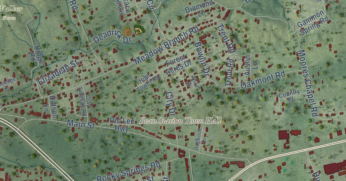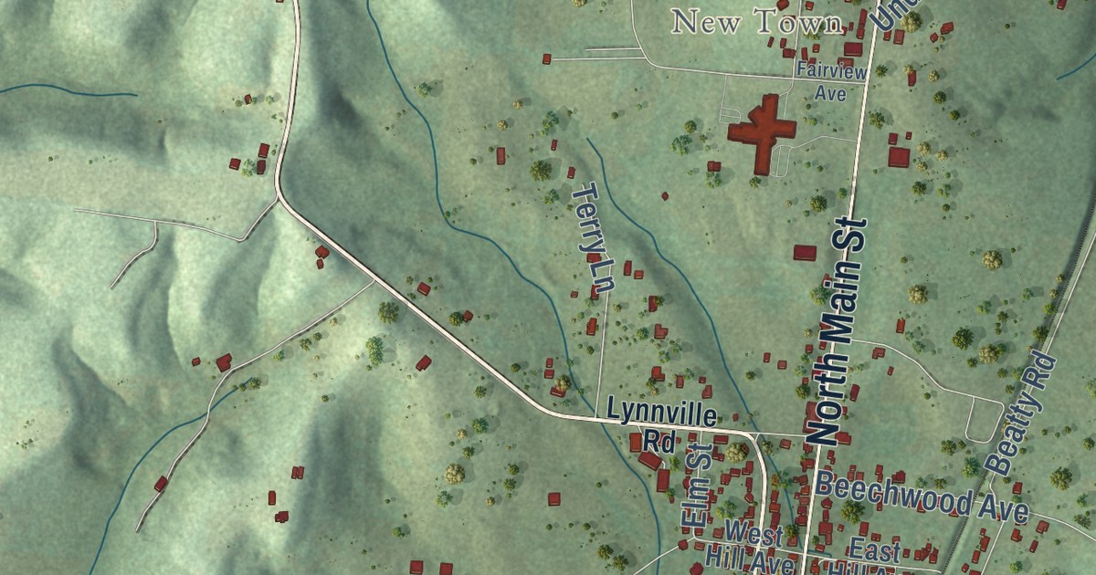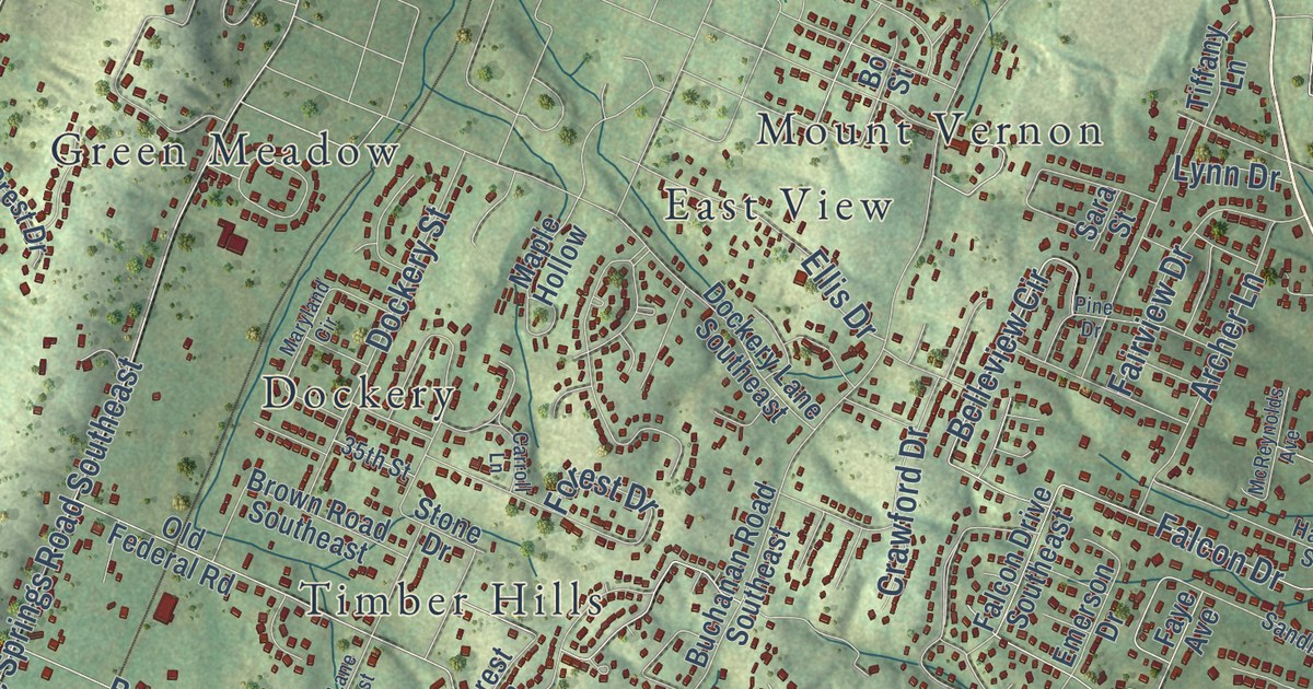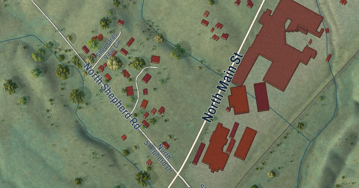
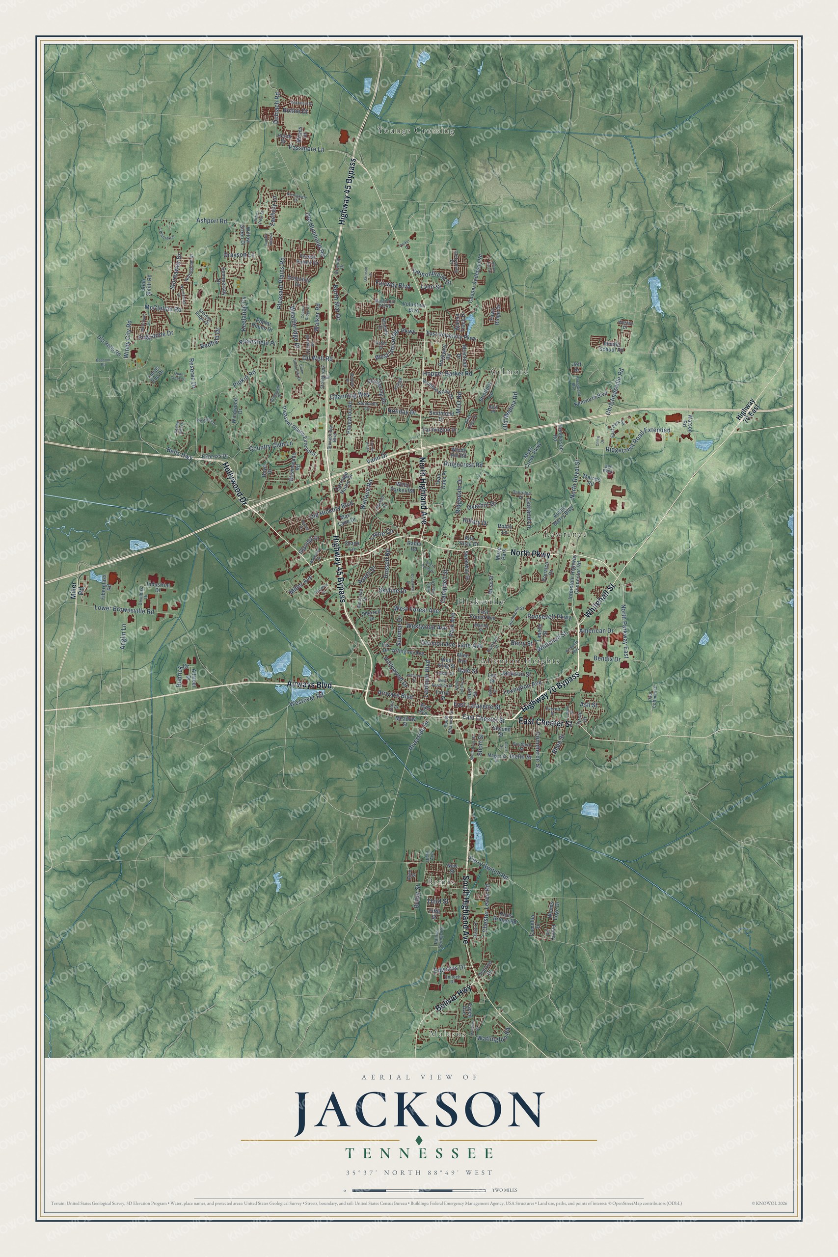
This beautifully detailed map of Jackson, Tennessee was created in 2026 using aerial imagery combined with modern topographical, census, street and landmark data. It’s a one-of-a-kind view of Jackson that combines accurate data with a vintage aesthetic. The map shows every building in its true location, many of the roads carry their names, and the shaded topographic relief shows the shape of the land.
Explore an aerial view of Jackson, Tennessee
On the map you’ll find Malesus, Allenton Heights, Bemis, Gilmore, Hicksville, Lawrence, and Youngs Crossing, along with North Parkway, Whitehall Street, Highway 70 Bypass, East Chester Street, Highway 45 Bypass, and more. If you look closely you can even find your house accurately drawn in its correct location. Zoom in on the preview to look for yours.
Did you know this piece of Jackson, Tennessee history?
From Tennesseeencyclopedia.net: "The Mississippi and Tennessee Central and the Mobile and Ohio were the first railroads to serve Jackson."
Take a closer look at the Jackson map
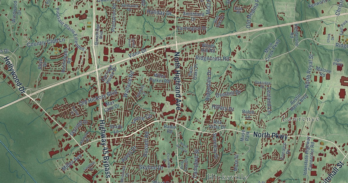
Street and place names on the Jackson, Tennessee map
These names are printed on the map of Jackson, Tennessee.
Places: Malesus, Allenton Heights, Bemis, Gilmore, Hicksville, Lawrence, Youngs Crossing and Muse Park.
Streets and roads: North Parkway, Whitehall Street, Highway 70 Bypass, East Chester Street, Highway 45 Bypass, South Highland Avenue, Hollywood Drive, North Highland Avenue, Airways Boulevard, Bolivar Highway, Vann Drive, Pipkin Road.
More street names, A to Z
Allen Avenue, Allen Street, Allsteel Drive, Alta Vista Drive, American Drive, Anglin Lane, Arbor View Drive, Arlington Avenue, Ashport Road, Ash Street, Aspen Avenue, Austin Merry Boulevard, Ayers Drive, Aztec Drive, Barr Avenue, Bascom Road, Bayberry Drive, Bells Highway, Bendix Drive, Bent Oaks Drive, Berry Street, Beth Place, Bobrick Drive, Bowling Drive, Boyd Drive, Bridlepath Drive, Butler Street, Camellia Drive, Campbell Street, Carolane Drive, Carriage House Drive, Channing Way, Chesswood Boulevard, Chester Levee Road, Chickering Road, Chloe Drive, Christmasville Road, Circle Drive, Coatsland Drive, Commerce Street, Conalco Drive, Cooper Anderson Road, Copper Ridge Cv, Country Club Lane, Davis Street, Deloach Road, Demonbreun Drive, Devilbiss Drive, Division Avenue, Dixie Lane, East Forest Avenue, East Lafayette Street, East Park Square, East University Parkway, Edwards Drive, Elmfield Drive, Everett Street, Express Drive, Fairway Boulevard, Farmington Drive, Farrar Street, Fawn Ridge Drive, Fiberglass Road, Fifth Street, Flagstone Drive, Forest Pointe Drive, Foxlea Drive, Foxworth Drive, Garrison Drive, Gates Street, Gettysburg Drive, Grayson Lane, Greenhill Drive, Hale Street, Harts Bridge Road, Henderson Road, Hicks Avenue, Highway 70 East, Hillary Drive, Hillside Landing, Holiday Drive, Hopper Barker Road, Hurt Street, Industrial Drive, Interstate Highway Connector Road, Iris Drive, Iselin Street, Jackson Street, Jacob Street, Jeff Drive, John Smith Road, Keelange Cv, Kenworth Boulevard, Labelle Street, Lambuth Boulevard, Lands End Drive, Lane Avenue, Laurie Circle, Lealand Lane, Lee Street, Leisure Lane, Lexington Avenue, Liddon Street, Lower Brownsville Road, Lynn Street, Magnolia Street, Malone Road, Martha Street, Max Lane Drive, McClellan Road, McIntosh Drive, McO Road, Meadow Street, Meridian Drive, Middle School Road, Miller Avenue, Miller Road, Millstream Drive, Moize Cut Off Road, Montclair Drive, Moses Drive, Moss Creek Parkway, Muse Street, New Street, North Acres Drive, North Liberty Street, North Parkway East, Northpointe Drive, North Royal Street, North Star Drive, Nottingham Drive, Oakridge Drive, Oil Well Road, Old Bells Road, Old Hickory Boulevard, Old Humboldt Road, Old Medina Road, Overhill Drive, Overton Drive, Park Avenue, Parker Drive, Passmore Lane, Paul Coffman Drive, Penny Lane, Perry Switch Road, Pine Tree Drive, Plainsfield Place, Plantation Road, Pleasant Plains Extended, Pleasant Plains Road, Poplar Plains Drive, Quail Creek Drive, Radio Road, Railroad Street, Raines Springs Road, Raleigh Place, Ramblewood Drive, Redfield Drive, Reserve Drive, Rhea Street, Richmond Street, Richsnith Way, Ridgecrest Road, Ridgecrest Road Extended, Ridgedale Drive, Riverside Drive, Robin Lane, Rockwell Road, Rolling Hills Drive, Romie Drive, Roosevelt Parkway, Rushmeade Road, Russell Road, Sebastain Drive, Second Street, Shadow Ridge Drive, Shady Lane, Sherrell Drive, Short Street, Skyline Drive, Skyridge Drive, Smithfield Drive, Sommersby Drive, Southern Street, South Royal Street, South Shannon Street, State Street, Stonebridge Boulevard, Stonebrook Place, Stornaway Drive, Stratford Lane, Summar Drive, Sunhaven Drive, Sweetbay Drive, Talbot Street, Third Street, Torrey Pines, Twin Oaks Place, Ugn Parkway, Union Fort Drive, Union University Drive, Unitech Drive, Volunteer Boulevard, Walker Road, Wallace Road, Walnut Trace Drive, Watlington Road, Watson Road, Weatheridge Drive, Wesley Drive, West Deadrick Street, West Forest Avenue, West King Street, Westover Road, West University Parkway, Westwind Drive, Westwood Avenue, Whitfield Drive, Wiley Parker Road, Williams Street, Willow Green Drive, Windale Drive, Windwood Drive, Windy City Road, Windy Hill Road, Woods Edge Drive, Wyndchase Drive, Zachary Lane.
See the Jackson, Tennessee map on a wall
The Jackson map as an 18 x 24 inch print in a black frame.

This beautifully detailed map of Jackson makes an attractive addition to your office, library, or den, and it can even be used to teach children the geography and history of the area. It also makes a great gift for someone who left Jackson and still calls it home. When you’re done exploring, click here to get your copy of the Jackson map.