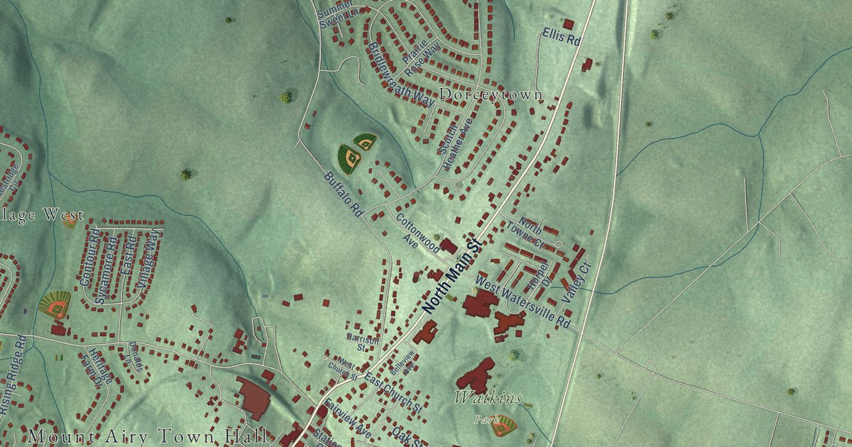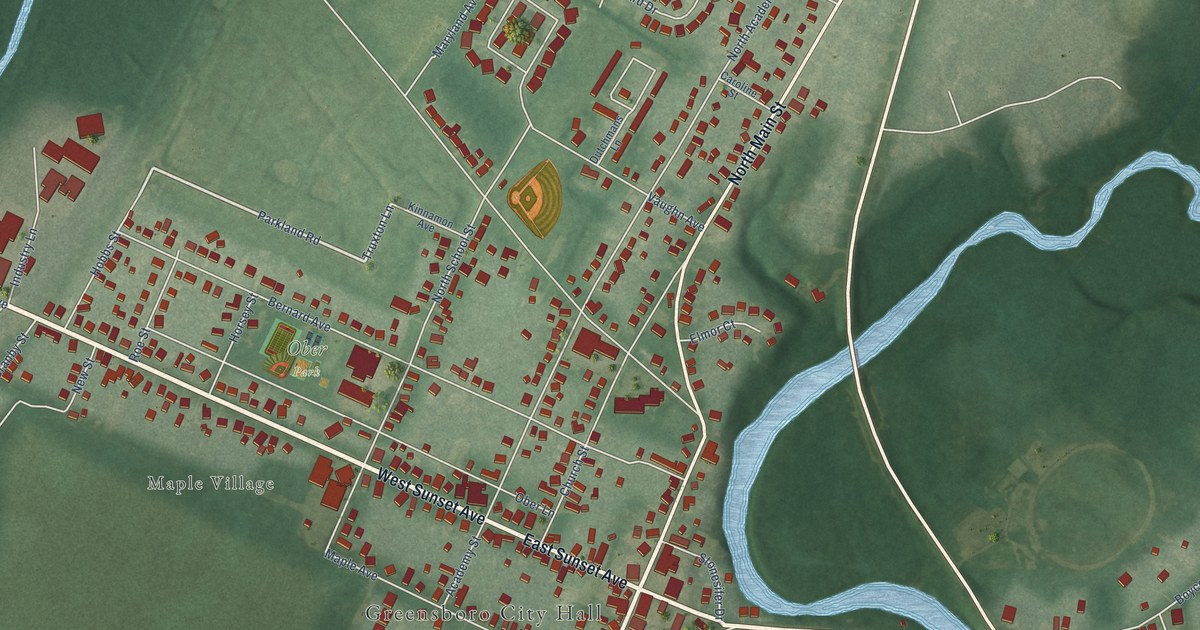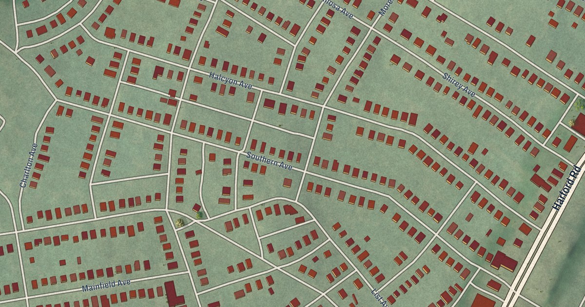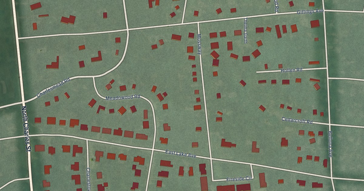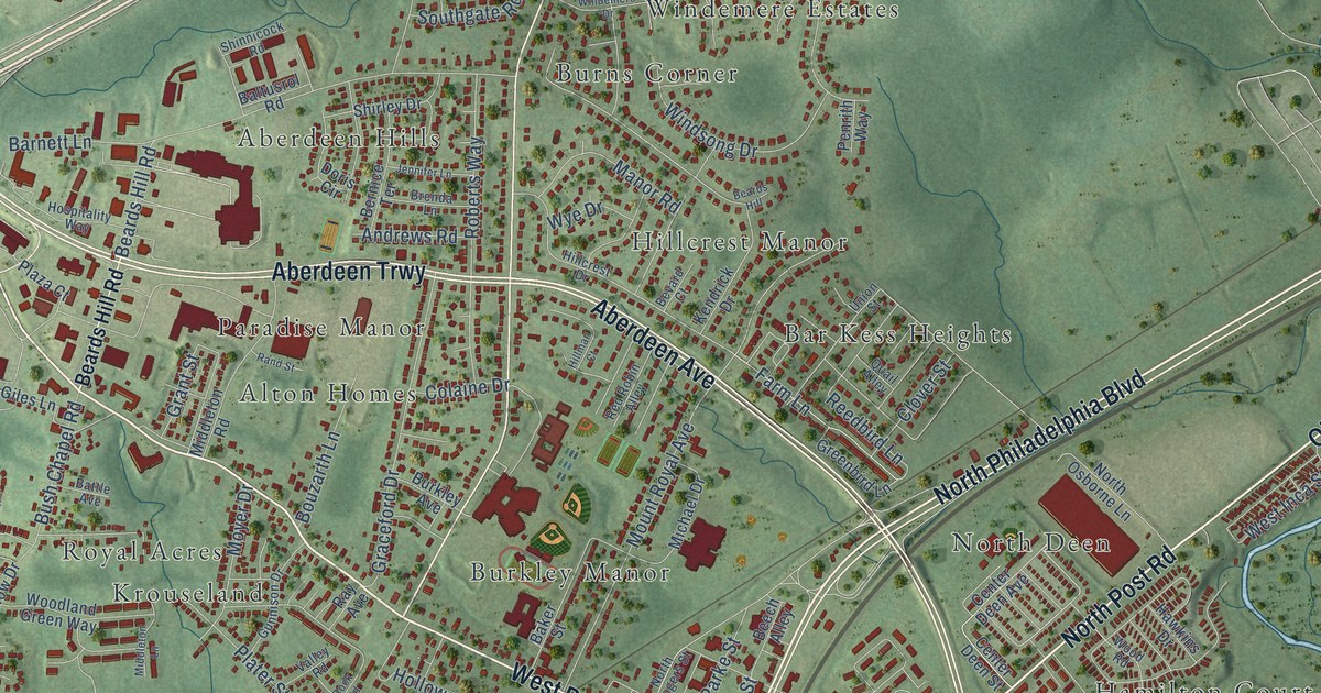
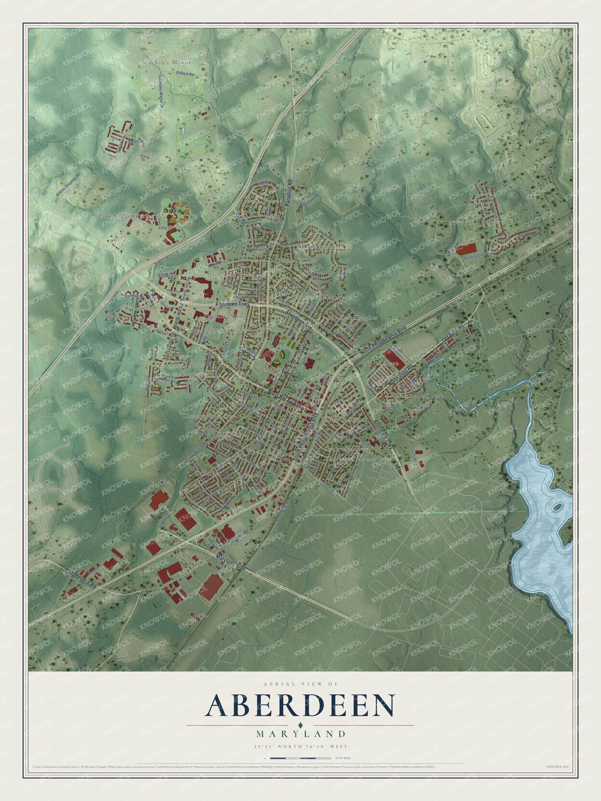
This beautifully detailed map of Aberdeen, Maryland was created in 2026 using aerial imagery combined with modern topographical, census, street and landmark data. It's a modern aerial view of Aberdeen in Harford County, Maryland, that combines modern data with a vintage aesthetic. The roads feature printed names, and if you look closely you can find your exact house accurately shown in its correct location.
Explore an aerial view of Aberdeen, Maryland
On this map you'll find Locksley Manor, Aberdeen Hills, Alton Homes, Baldwin Manor, Bar Kess Heights, Braemar, Burkley Manor, Burns Corner, Chesapeake Acres, Dol Ray, Hamilton Court, Hill Land, and more. Each red shape is a building, so zoom in on the preview and look for yours.
Here is a piece of Aberdeen history, in the words of the record. The record at services.arcgis.com puts it this way: "ENIAC The first large-scale, general-purpose electronic digital computer, ENIAC (Electronic Numerical Integrator and Computer) was delivered to the US Army's Ballistic Research Laboratory (BRL), Aberdeen Proving Ground, in 1947."
Aberdeen is a city in Harford County. The Census Bureau counted 16,254 people here in 2020.
Take a closer look at the Aberdeen map
Names on this map
These names are printed on this map.
Places: Locksley Manor, Aberdeen Hills, Alton Homes, Baldwin Manor, Bar Kess Heights, Braemar, Burkley Manor, Burns Corner, Chesapeake Acres, Dol Ray, Hamilton Court, Hill Land, Hillcrest Manor, Hillside, Krouseland, Maxa Woods, North Deen, Paradise Manor, Park Ridge Estates, Royal Acres, Sherwood Homes, Swan Meadows, Warwick, Windemere Estates and Woodbrook.
Streets and roads: Maryland Boulevard, North Philadelphia Boulevard, West Bel Air Avenue, North Post Road, Old Post Road, Aberdeen Trwy, South Philadelphia Boulevard, Paradise Road, Aberdeen Avenue, Philadelphia Road, Hickory Drive, Post Road.
More street names, A to Z
Aberdeen Boulevard, Agena Drive, Aldino Stepney Road, Alley 3, Amber Way, Andrews Road, Apg Road, Argonne Drive, Avon Drive, Baker Street, Baltimore Street, Baltusrol Road, Barnett Lane, Battle Avenue, Beards Hill, Beards Hill Road, Beech Alley, Bernice Terrace, Bevard Court, Bisini Drive, Bouzarth Lane, Brannon Road, Brenda Lane, Burkley Avenue, Bush Chapel Road, Cambridge Avenue, Carol Avenue, Carter Street, Center Deen Avenue, Center Deen Street, Cirelli Court, Clover Street, Colaine Drive, Cornell Street, Courtney Drive, Cranberry Run Drive, Cronin Drive, Custis Street, Darvell Circle, Dawn Court, Doris Circle, Dorsey Street, East Bel Air Avenue, East Belair Avenue, Edmund Street, Elm Street, Engle Avenue, Everist Drive, Falcon Lane, Farm Lane, Ford Street, Gemini Court, Gilbert Road, Giles Lane, Graceford Drive, Grant Street, Grasmere Drive, Grasmere Lane, Greenbird Lane, Grove Street, Gunnison Drive, Hardees Drive, Harlan Avenue, Hawkins Drive, Hillcrest Drive, Hillman Court, Hiobs Lane, Holloway Lane, Holly Drive, Hospitality Way, Howard Street, James Avenue, Jason Lane, Jennifer Lane, Kendrick Drive, Kretlow Drive, Law Street, Liberty Street, Locksley Manor Drive, Long Drive, Main Plant Drive, Manor Road, Market Street, Maxa Road, Melissa Court, Michael Drive, Middleton Lane, Middleton Road, Mitchell Avenue, Monroe Street, Morgan Lane, Mount Royal Avenue, Moyer Drive, Newton Road, Norman Avenue, Northeast Road, Northgate Road, North Osborne Lane, North Parke Street, North Rogers Street, Old Philadelphia Road, Old Robinhood Road, Oxford Avenue, Palomino Ranch Road, Paul Drive, Penrith Way, Pine Street, Plant Entrance Drive, Plater Street, Plaza Court, Poplar Street, Quail Alley, Rand Street, Ray Avenue, Red Robin Alley, Reedbird Lane, Research Boulevard, Richard Lane, Roberts Way, Rock Glenn Boulevard, Rock Glenn Road, Rock Road, Rowe Drive, Saturn Drive, Shinnicock Road, Shirley Drive, South Drive, Southgate Road, South Parke Street, South Post Road, South Rogers Street, Spruce Street, Swan Street, Taft Street, Third Street, Titan Terrace, Union Street, Urmia Drive, Valley Road, Van Street, Victory Street, Walker Street, Warren Street, Warwick Drive, Washington Street, Webb Street, West Belair Avenue, West Inca Street, William Powell Court, Windemere Drive, Windsong Drive, Woodland Green Way, Wood Road, Wye Drive.
Created by KNOWOL in 2026. The buildings are small red shapes, the roads carry their printed names, and shaded relief shows the shape of the land. The title panel reads "AERIAL VIEW OF ABERDEEN MARYLAND" with 39°31' NORTH 76°10' WEST.
It suits a den, a classroom or a front hall, and it makes a gift for anyone with Aberdeen roots. Open the preview and find the block you know. See sizes and frames for the Aberdeen map.