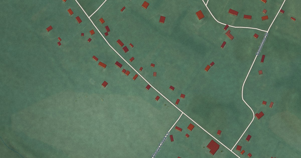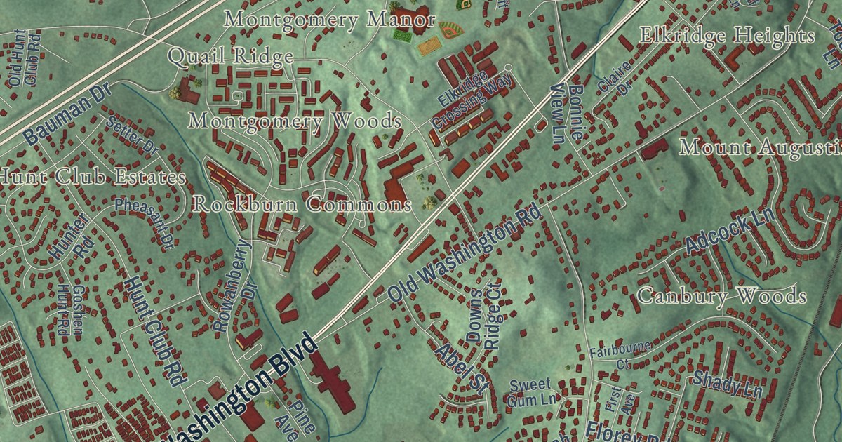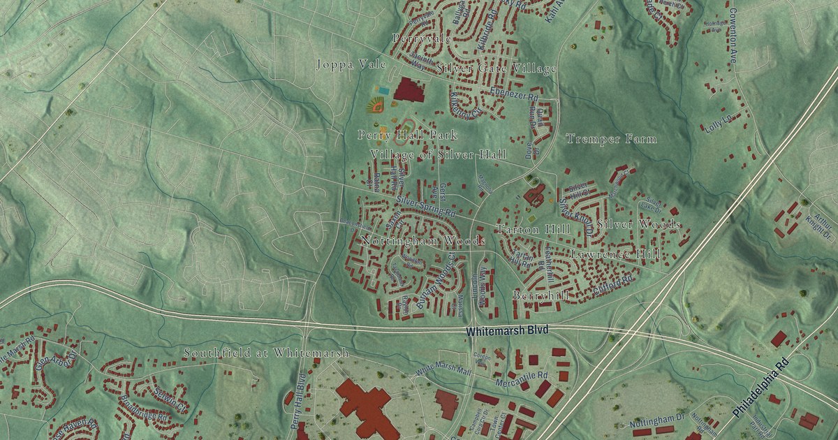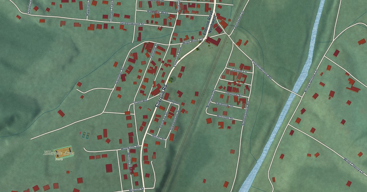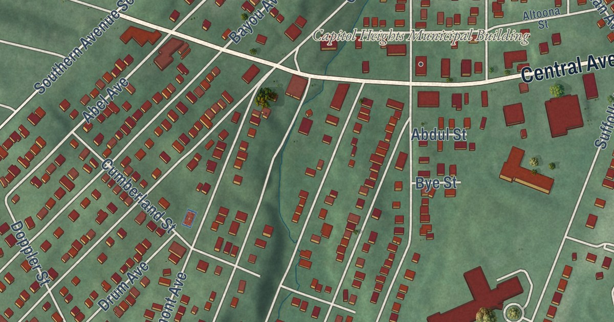
This beautifully detailed map of Capitol Heights, Maryland was created in 2026 using aerial imagery combined with modern topographical, census, street and landmark data. It’s a one-of-a-kind view of Capitol Heights that combines accurate data with a vintage aesthetic. The map shows every building in its true location, many of the roads carry their names, and the shaded topographic relief shows the shape of the land.
Explore an aerial view of Capitol Heights, Maryland
On the map you’ll find Greater Capitol Heights, along with Central Avenue, Walker Mill Road, Akin Avenue, Abel Avenue, Bayou Avenue, Capitol Heights Boulevard, Southern Avenue, Southern Avenue Southeast, Nova Avenue, Mentor Avenue, Larchmont Avenue, and more. If you look closely you can even find your house accurately drawn in its correct location. Zoom in on the preview to look for yours.
Did you know this piece of Capitol Heights, Maryland history?
From the Town of Capitol Heights: "In 1910, approximately 200 householders voted to incorporate their community as Capitol Heights. Over the next 50 years, the Town made strides in improving its infrastructure and services. It established its own fire department and public works department and built facilities to house them and other elements of the government."
Take a closer look at the Capitol Heights map
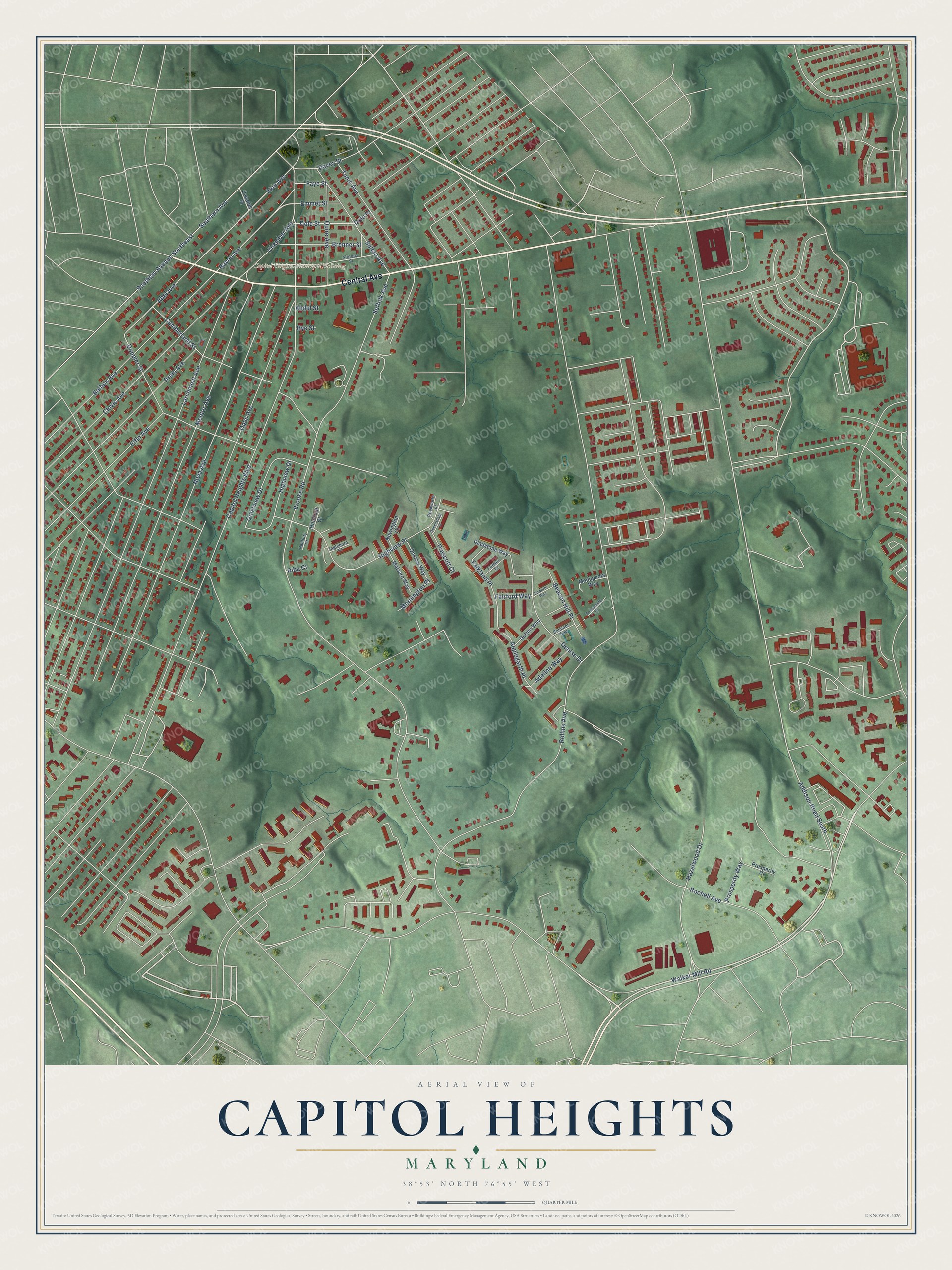
Street and place names on the Capitol Heights, Maryland map
These names are printed on the map of Capitol Heights, Maryland.
Places: Capitol Heights Municipal Building.
Streets and roads: Central Avenue, Walker Mill Road, Akin Avenue, Bayou Avenue, Abel Avenue, Addison Road South, Mornington Place, Capitol Heights Boulevard, Southern Avenue, Southern Avenue Southeast, Nova Avenue, Mentor Avenue.
More street names, A to Z
Abdul Street, Adeline Way, Altoona Street, Applegarth Place, Balboa Avenue, Banister Way, Beacon Hill Place, Brenner Street, Brooke Road, Brownsburg Court, Bye Street, Cavalier Street, Chamber Avenue, Clovis Avenue, Cumberland Street, Davey Street, Denise Drive, Dole Place, Dole Street, Doppler Street, Drum Avenue, Dutton Way, Elfin Avenue, Emmet Street, Epworth Way, Fairford Way, Falkland Place, Faye Street, Frimler Court, Gladstone Way, Hanbury Court, Hazelwood Drive, Highview Drive, Highview Place, Hilldropt Court, Ingleboro Court, Larchmont Avenue, Malvern Way, Modupeola Way, Newington Court, Onslow Way, Opus Avenue, Prescott Court, Prosperity Court, Prosperity Way, Queensdale Court, Quietview Drive, Quire Avenue, Reedworth Court, Riba Court, Rochell Avenue, Rollins Avenue, Suffolk Avenue, Sultan Avenue, Tunic Avenue.
See the Capitol Heights, Maryland map on a wall
The Capitol Heights map as an 18 x 24 inch print in a black frame.

This beautifully detailed map of Capitol Heights makes an attractive addition to your office, library, or den, and it can even be used to teach children the geography and history of the area. It also makes a great gift for someone who left Capitol Heights and still calls it home. When you’re done exploring, click here to get your copy of the Capitol Heights map.