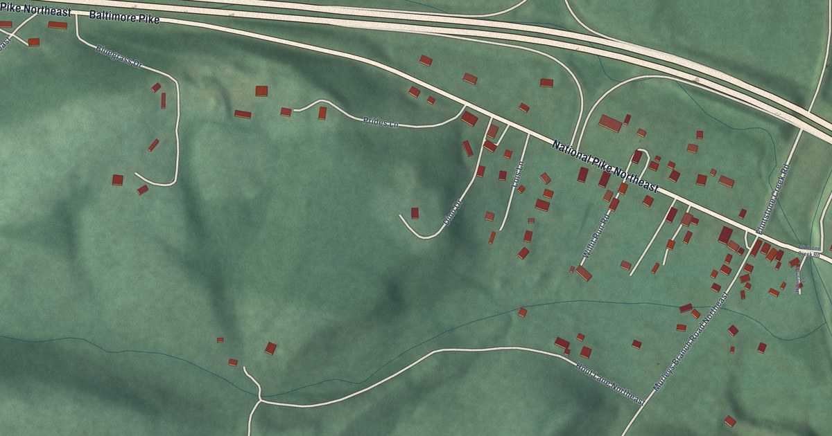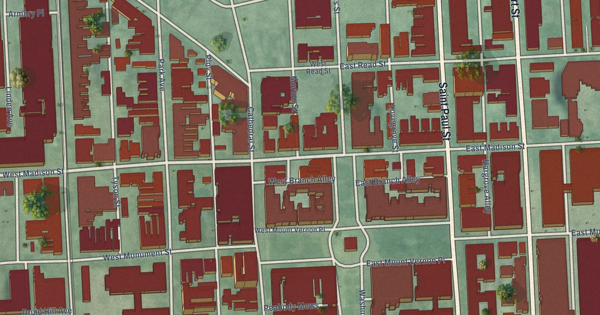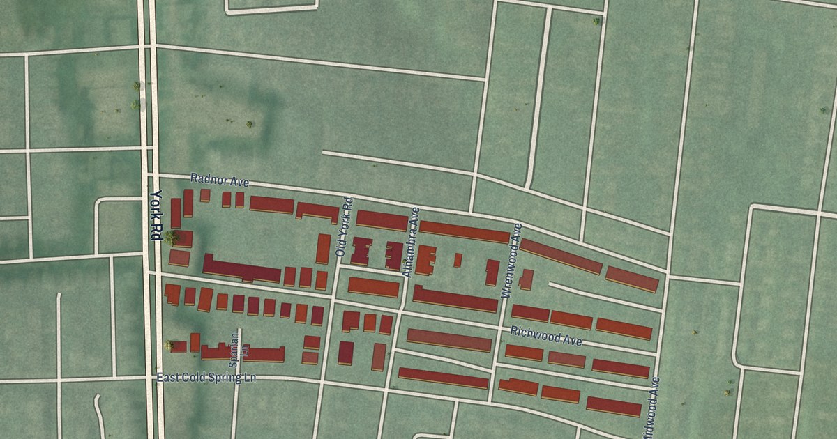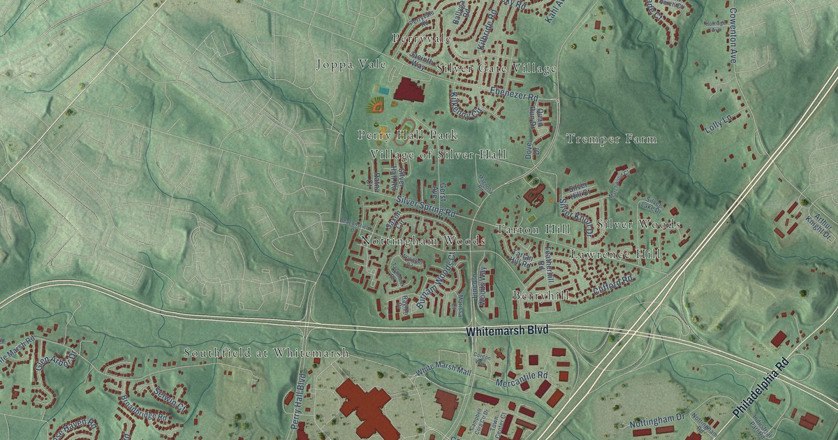
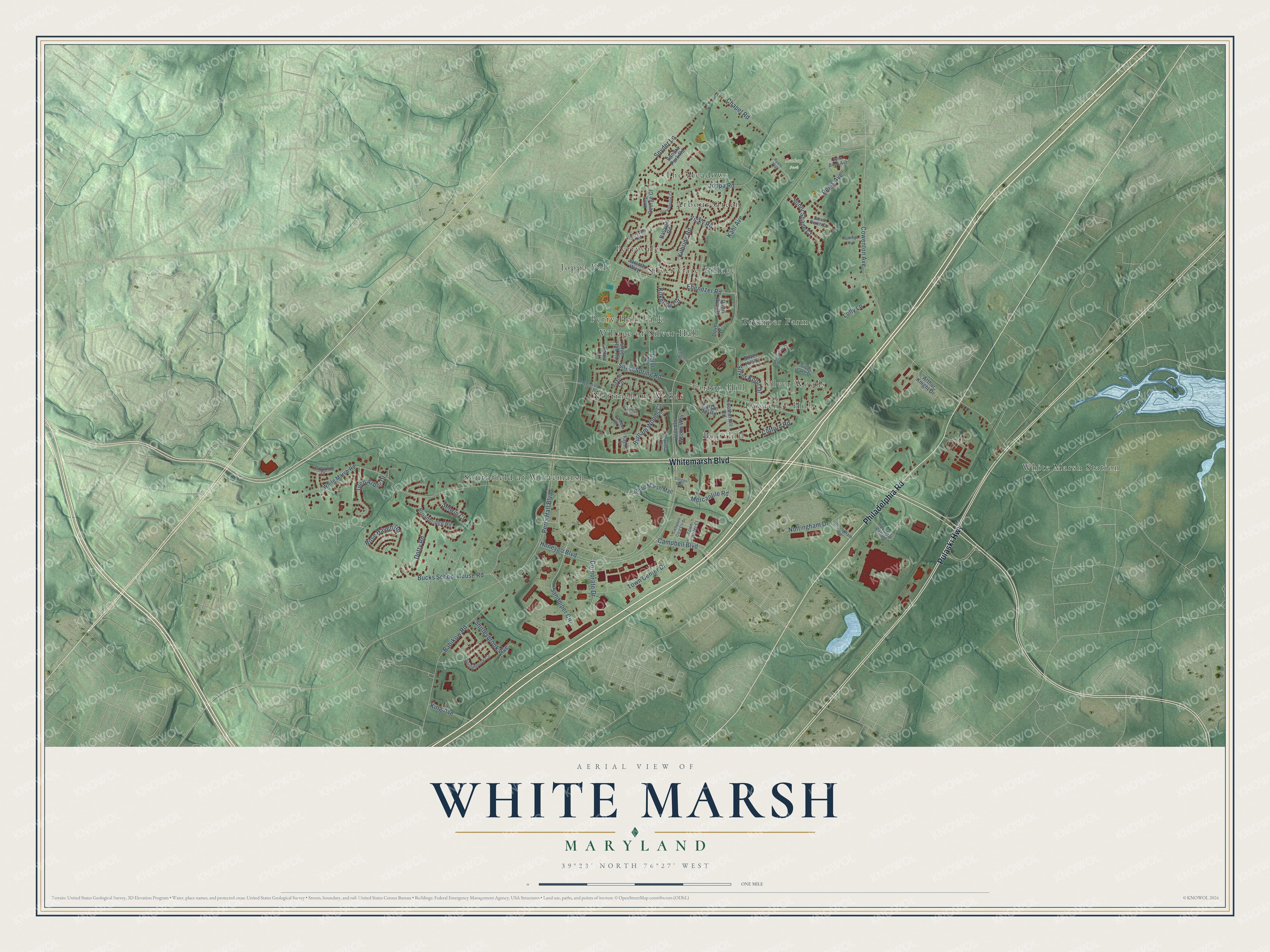
This beautifully detailed map of White Marsh, Maryland was created in 2026 using aerial imagery combined with modern topographical, census, street and landmark data. It's a modern aerial view of White Marsh in Baltimore County, Maryland, that combines modern data with a vintage aesthetic. The roads feature printed names, and if you look closely you can find your exact house accurately shown in its correct location.
Explore an aerial view of White Marsh, Maryland
On this map you'll find Soukup Park, Southfield at Whitemarsh, Joppa Vale, White Marsh Station, Berryhill, Arbour Green, Silver Woods, Silver Gate Village, Perry Hall Park, Nottingham Woods, Lawrence Hill, Village of Silver Hall, and more. Each red shape is a building, so zoom in on the preview and look for yours.
Every town has a first chapter, and White Marsh is no exception. The fieldstone Seddon House on East Joppa Road was built around 1829 on a 500-acre farm that had been part of Captain Charles Ridgely's 4,000-acre Hampton estate. The Carroll family sold it in 1845 to Jacob Seddon, who lived there from the early 1850s until his death in the 1870s. Joppa Road dates to the 1730s and was first called Court Road, because it led to Joppa, the original county seat on the Big Gunpowder River. That's from the Maryland Historical Trust.
White Marsh is a community in Baltimore County. The Census Bureau counted 10,287 people here in 2020.
Take a closer look at the White Marsh map
Names on this map
These names are printed on this map.
Places: Soukup Park, Southfield at Whitemarsh, Joppa Vale, White Marsh Station, Berryhill, Arbour Green, Silver Woods, Silver Gate Village, Perry Hall Park, Nottingham Woods, Lawrence Hill, Village of Silver Hall, Tremper Farm, Perryvale, Tarton Hill and The Meadows.
Streets and roads: Whitemarsh Boulevard, Pulaski Highway, Philadelphia Road, Sandpiper Circle, Cowenton Avenue, Joppa Road, Honeygo Boulevard, Perry Hall Boulevard, Bucks School House Road, Silver Spring Road, Ebenezer Road, Campbell Boulevard.
More street names, A to Z
Arthur Knight Drive, Babikow Road, Ballygar Road, Beaconsfield Drive, Broadbridge Road, Burnam Woods Court, Campbell Corp Ctr Drive, Chapel Road, Clifford Road, Cordon Way, Corporate Drive, Dotty Road, Dove Drive, Featherhill Road, Gerst Avenue, Glen Arbor Drive, Greenhouse Circle, Hardwood Drive, Hornago Avenue, Industrial Parl Road, Jacinth Way, John Buck Avenue, Kahl Avenue, Kilbride Road, Kilkenny Circle, King Avenue, King George Court, Lincoln Woods Way, Lolly Lane, Magnolia Road, Marchwood Court, Marissa Court, Mercantile Road, Nottingham Drive, Nottingham Road, Perryvale Road, Quail Run Drive, Ratna Court, Raylon Drive, Rexis Avenue, Rose Haven Road, Ryans Way, Sandra Park Road, Saxon Circle, Selwin Court, Shirleybrook Avenue, Silver Hall Road, Silver Hill Court, Silver Knoll Drive, Silver Lake Drive, Snyder Lane, Springhouse Circle, Sunni Perch Court, Sunni Shade Court, Tachbrook Road, Tartan Hill Road, Town Center Court, Town Center Drive, Vicky Road, White Marsh Mall, White Marsh Road, Woodfall Road.
See it on a wall
The White Marsh map as a framed print. Swipe for more.


Created by KNOWOL in 2026. The buildings are small red shapes, the roads carry their printed names, and shaded relief shows the shape of the land. The title panel reads "AERIAL VIEW OF WHITE MARSH, MARYLAND" with 39°23' NORTH 76°27' WEST.
Hang it in the hallway, the office or the cabin, or give it to someone who left White Marsh and still calls it home. Open the preview and look for a street you know. See sizes and frames for the White Marsh map.