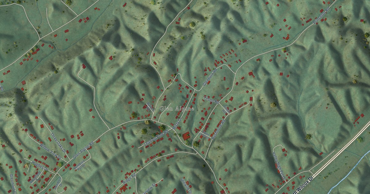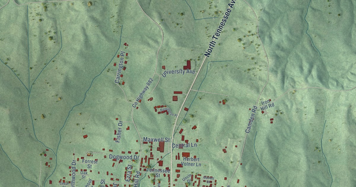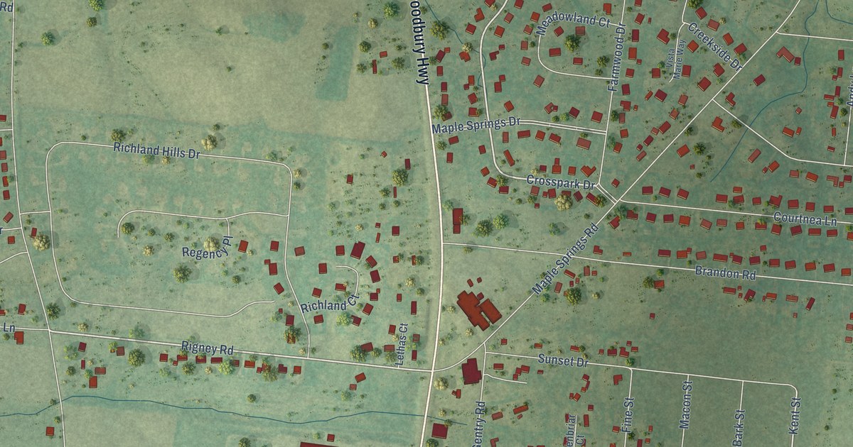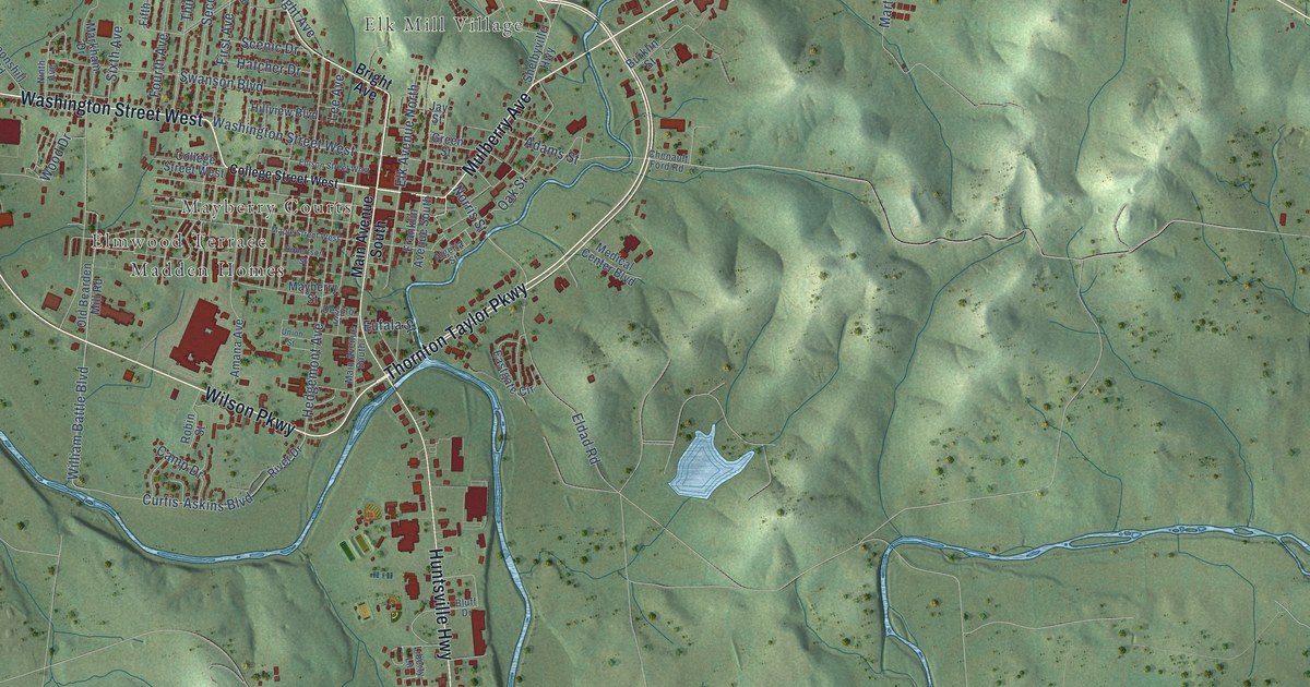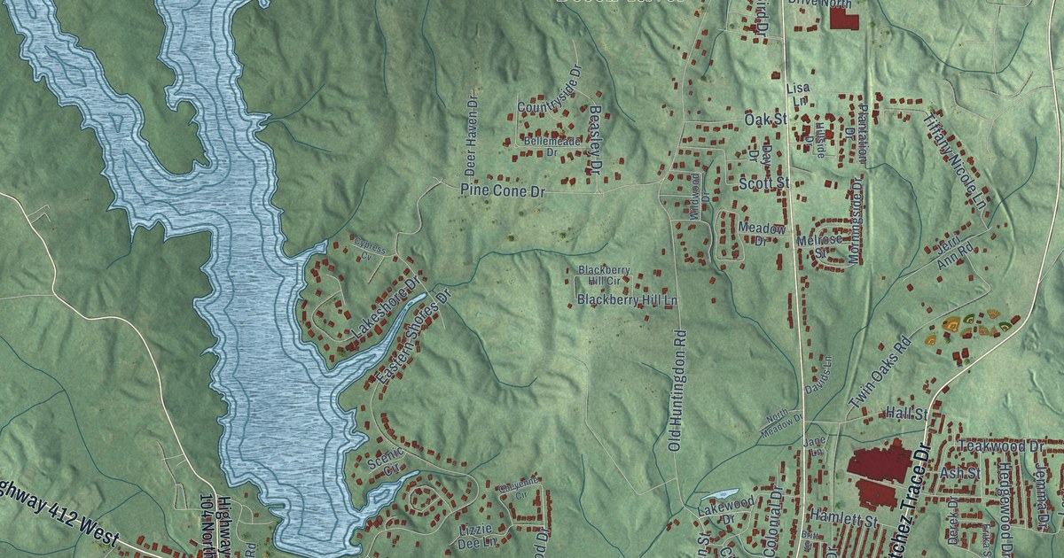
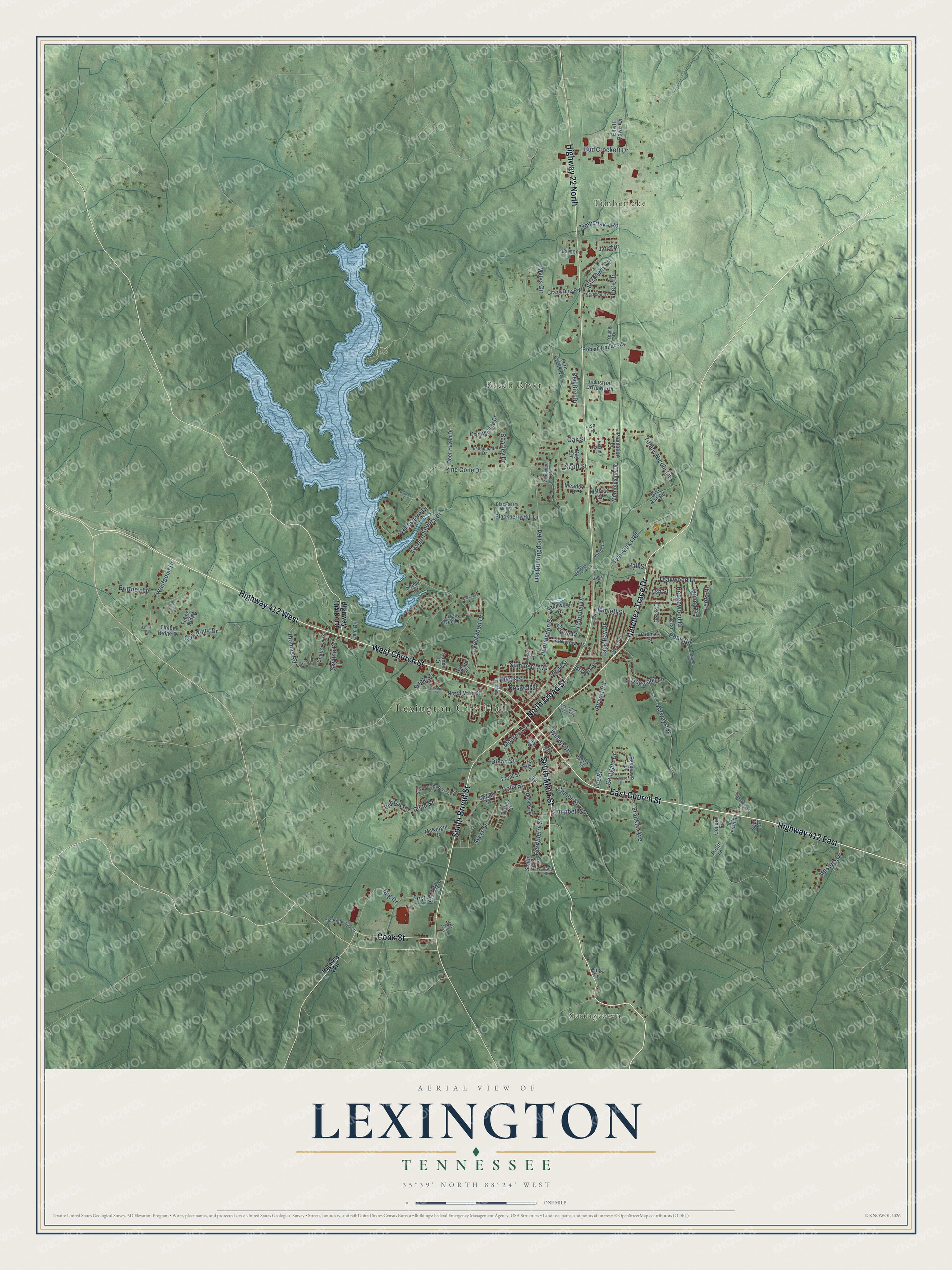
This beautifully detailed map of Lexington, Tennessee was created in 2026 using aerial imagery combined with modern topographical, census, street and landmark data. It's a modern aerial view of Lexington in Henderson County, Tennessee, that combines modern data with a vintage aesthetic. The roads feature printed names, and if you look closely you can find your exact house accurately shown in its correct location.
Explore an aerial view of Lexington, Tennessee
On this map you'll find Lexington City Hall, Stringtown, Timberlake, Beech River, South Main Street, East Church Street, Natchez Trace Drive, West Church Street, Highway 412 East, South Broad Street, Highway 412 West, North Broad Street, and more. Each red shape is a building, so zoom in on the preview and look for yours.
Every town has a first chapter, and Lexington is no exception. The record at tennesseeencyclopedia.net puts it this way: "The largest employers in the county, Johnson Controls and Leroy-Somer in Lexington, have a combined employment of over eighteen hundred workers."
Lexington is a city in Henderson County. The Census Bureau counted 7,956 people here in 2020.
Take a closer look at the Lexington map
Names on this map
These names are printed on this map.
Places: Lexington City Hall, Stringtown, Timberlake, Beech River and Lexington Cemetery.
Streets and roads: South Main Street, East Church Street, Natchez Trace Drive, West Church Street, Highway 412 East, South Broad Street, Highway 412 West, North Broad Street, Highway 22 North, Cook Street, Holly Street, Oak Point Drive.
More street names, A to Z
Airport Road, Airways Drive, Arnold Drive, Ash Street, Ayers Street, Bailey Street, Barnhill Street, Beasley Drive, Bellemeade Drive, Blackberry Hill Circle, Blackberry Hill Lane, Blankenship Street, Boswell Street, Brittney Lane, Britt Street, Brown Street, Buck Street, Bud Crockett Drive, Campbell Street, Cedar Street, Chase Drive, Cheyenne Circle, Circle Drive, Climer Street, College Drive, Colonial Drive, Countryside Drive, Crazy Doe Road, Cypress Cv, Dam Road, Davids Lane, Davis Street, Day Drive, Deer Haven Drive, Derek Drive, Derryberry Street, Dixie Street, Dixon Street, Dodd Street, Dogwood Lane, Eastern Shores Drive, Eastgate Drive, Elizabeth Circle, Eller Street, Elliott Power Drive, Erika Street, Ferguson Drive, Fern Creek Drive, First Street, Franklin Avenue, Front Street, Grissom Lane, Hall Street, Hamlett Street, Hedgewood Drive, Highway 104 North, Hillside Drive, Hospital Drive, Huntingdon Street, Industrial Drive North, Jack Hay Drive, Jane Lane, Jared Drive, Jemma Drive, Jerri Ann Road, Lakeshore Drive, Lakewood Drive, Lee Street, Leota Drive, Lewis Avenue, Lisa Lane, Lizzie Dee Lane, Masters Drive, McKnight Drive, Meadow Drive, Melrose Street, Mig Drive, Monroe Avenue, Morningside Drive, Myles Circle, North Main Street, North Meadow Drive, Oak Street, Old Highway 200, Old Huntingdon Road, Parkview Cts, Pearson Lane, Pete Drive, Pine Cone Drive, Pine Drive, Plantation Drive, Pollock Street, Pope Road, Pruitt Lane, Purdy Street, Red Bird Drive, Red Oak Circle, Reeves Street, Robertson Street, Robert Wallace Drive, Roselawn Drive, Roy Pruitt Road, Rush Street, Sandy Drive, Scenic Circle, Scott Street, Seahorse Drive, Skyline Drive, Smith Avenue, Spring Street, Spur Drive, Sullivan Street, Summers Avenue, Switch Cv, Teakwood Drive, Thomas Road, Thomas Street, Tiffany Nicole Lane, Tignor Park Lane, Timberlake Road, Timber Ridge, Timber Ridge Drive, Twin Oaks Road, Valley Drive, Weaver Street, Westpoint Drive, Westwood Drive, White Street, Wildwood Drive, Willow Cts, Wilson Street, Young Drive, Zula Lane.
Created by KNOWOL in 2026. The buildings are small red shapes, the roads carry their printed names, and shaded relief shows the shape of the land. The title panel reads "AERIAL VIEW OF LEXINGTON TENNESSEE" with 35°39' NORTH 88°24' WEST.
Hang it in the hallway, the office or the cabin, or give it to someone who left Lexington and still calls it home. Open the preview and look for a street you know. See sizes and frames for the Lexington map.