Whose Car Was Slowest? Two Drivers in Crown Point, Indiana, Raced to Find Out
In July 1911 two Crown Point, Indiana, men raced a Stoddard-Dayton and a Cadillac to see which could go slower. One city block took about 12 minutes.

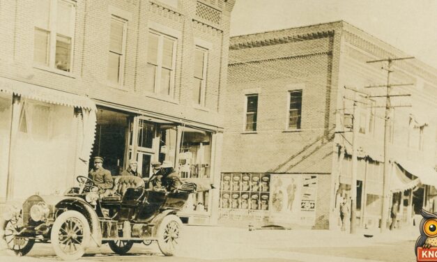
In July 1911 two Crown Point, Indiana, men raced a Stoddard-Dayton and a Cadillac to see which could go slower. One city block took about 12 minutes.
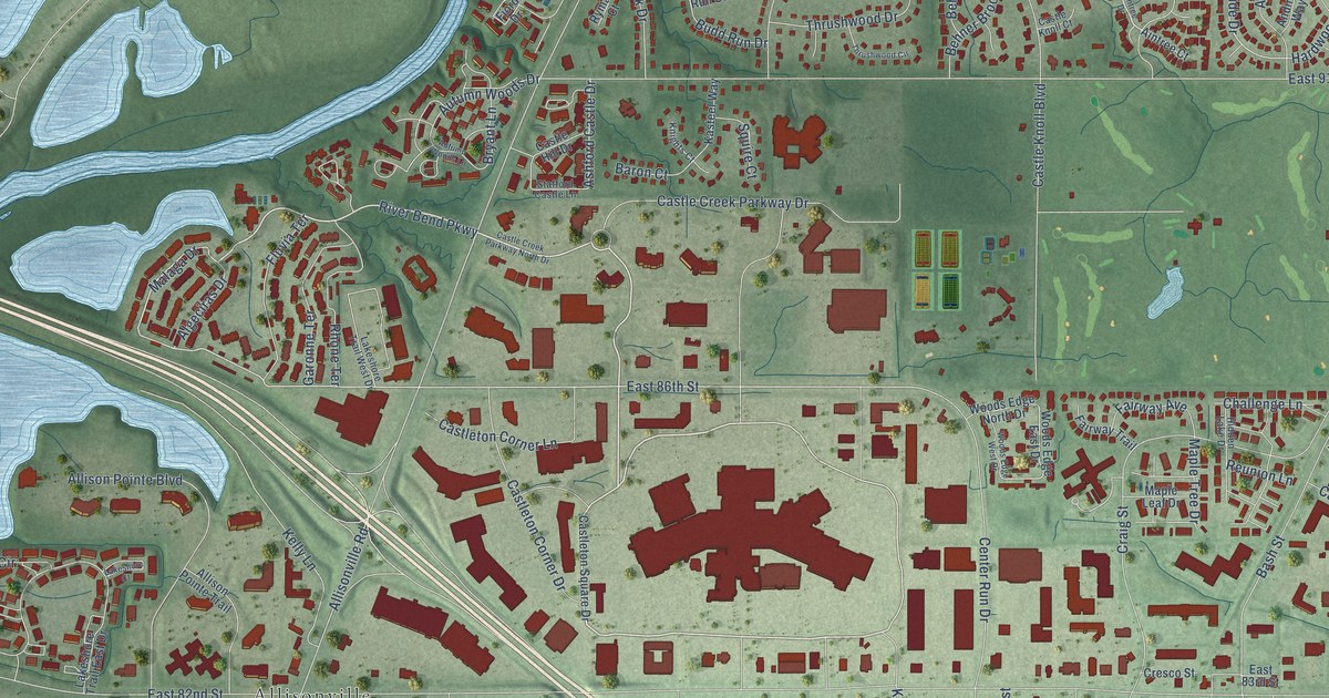
A detailed map of Castleton, Indiana, showing every building in its true location, the roads by name, and shaded topographical relief.
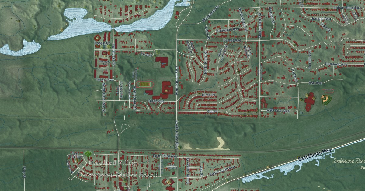
A detailed map of Miller, Indiana, showing every building in its true location, the roads by name, and shaded topographical relief.
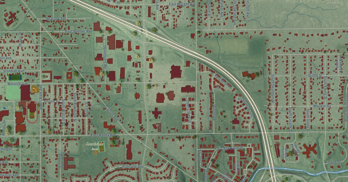
A detailed map of University Heights, Indiana, showing every building in its true location, the roads by name, and shaded topographical relief.
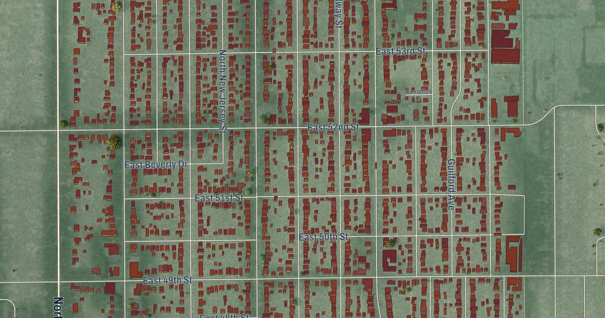
A detailed map of Meridian Kessler, Indiana, showing every building in its true location, the roads by name, and shaded topographical relief.
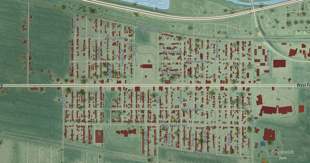
A detailed map of Brunswick, Indiana, showing every building in its true location, the roads by name, and shaded topographical relief.
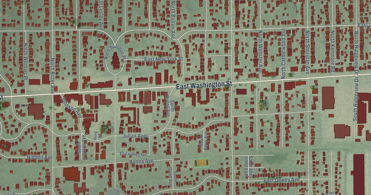
A detailed map of Irvington, Indiana, showing every building in its true location, the roads by name, and shaded topographical relief.
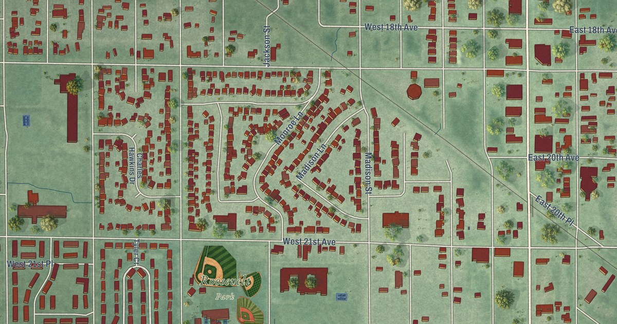
A detailed map of Midtown, Indiana, showing every building in its true location, the roads by name, and shaded topographical relief.
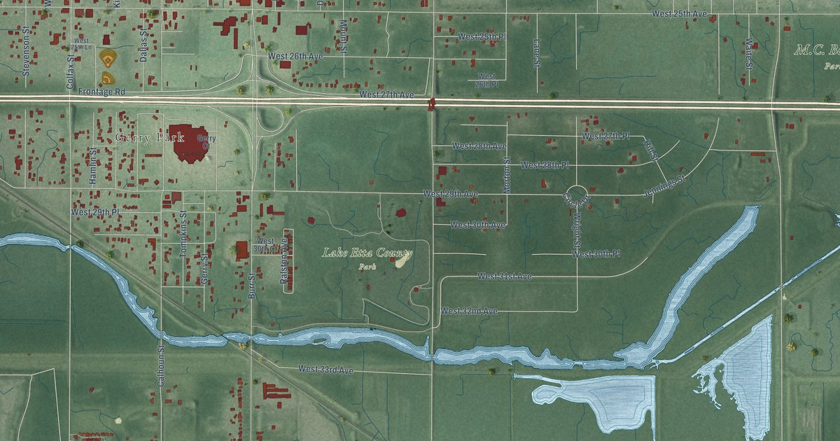
A detailed map of Black Oak, Indiana, showing every building in its true location, the roads by name, and shaded topographical relief.
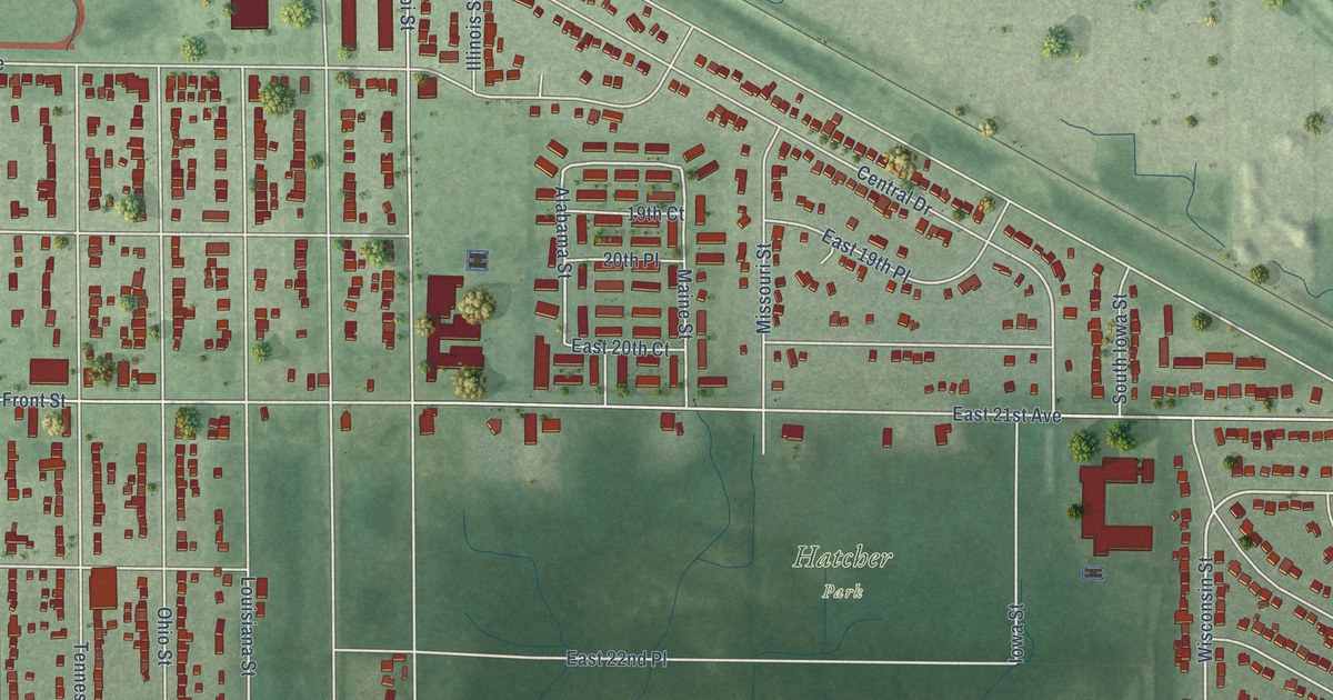
A detailed map of Pulaski, Indiana, showing every building in its true location, the roads by name, and shaded topographical relief.
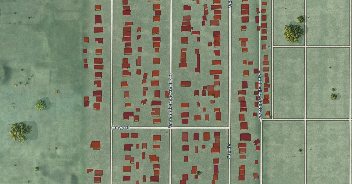
A detailed map of Woodruff Place, Indiana, showing every building in its true location, the roads by name, and shaded topographical relief.
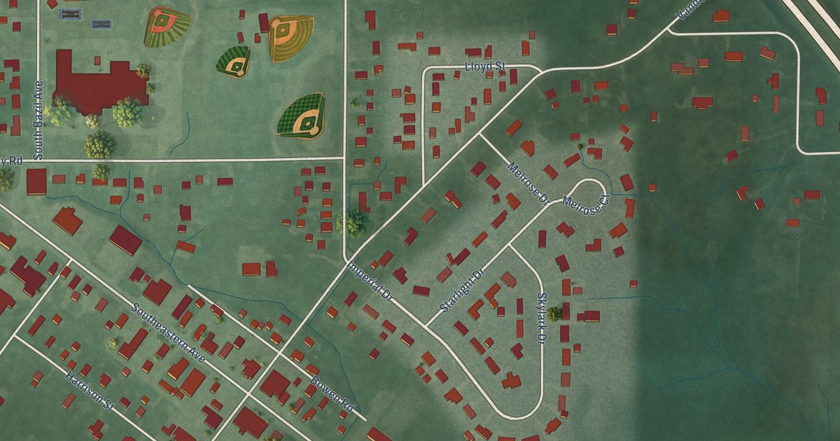
A detailed map of Wanamaker, Indiana, showing every building in its true location, the roads by name, and shaded topographical relief.