Detailed Map of Theodosia, Missouri
A detailed map of Theodosia, Missouri, showing every building in its true location, the roads by name, and shaded topographical relief.
Read More
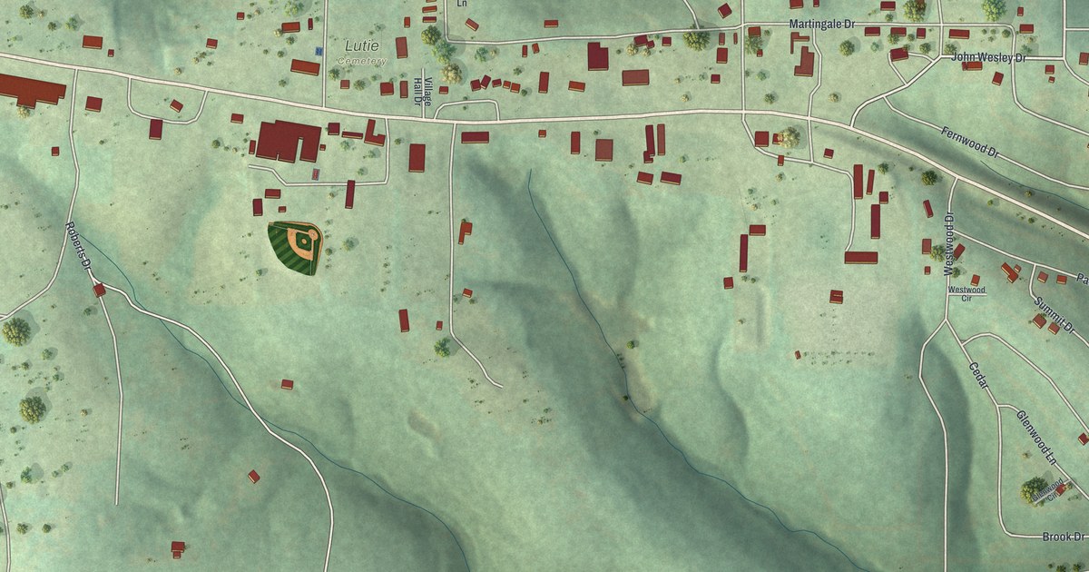
A detailed map of Theodosia, Missouri, showing every building in its true location, the roads by name, and shaded topographical relief.
Read More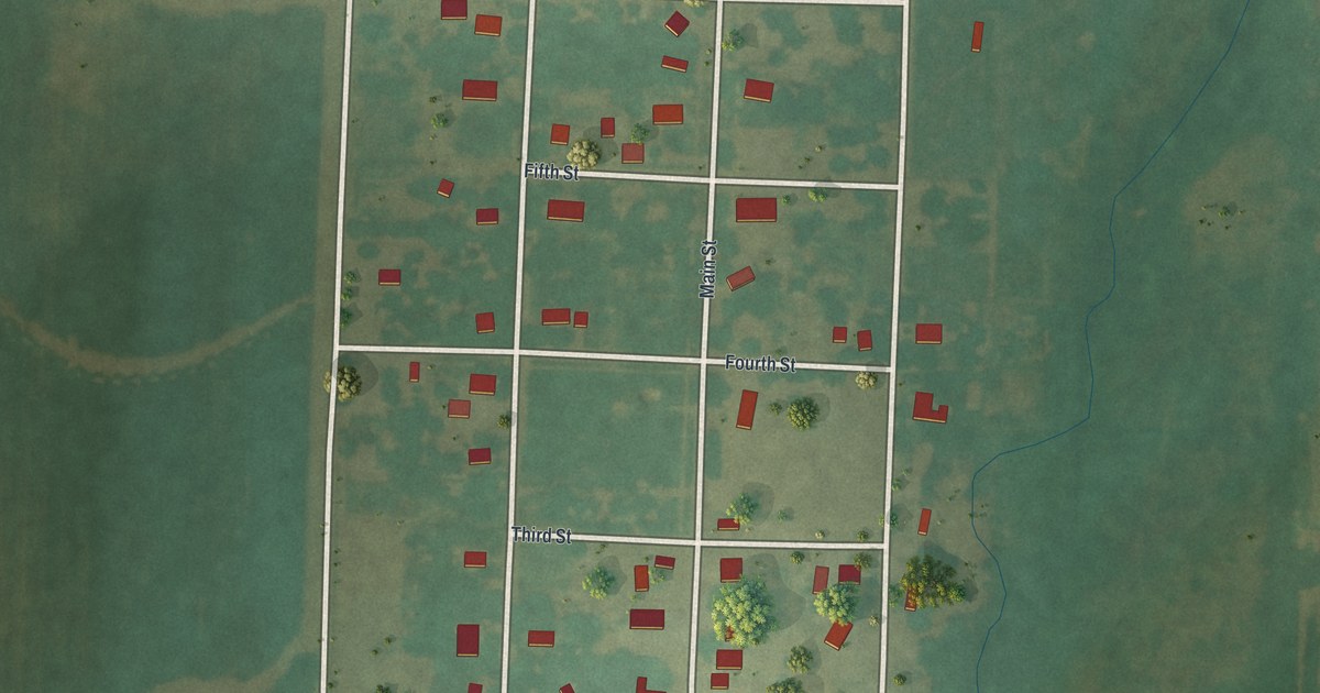
A detailed map of Ionia, Missouri, showing every building in its true location, the roads by name, and shaded topographical relief.
Read More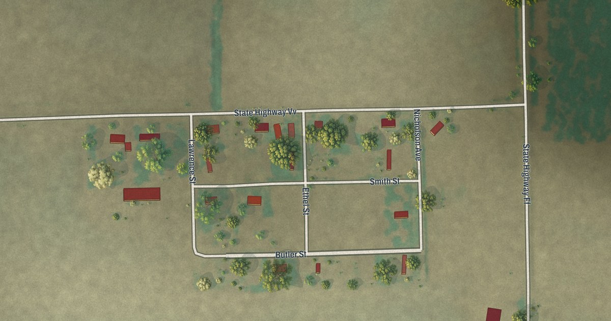
A detailed map of Pinhook, Missouri, showing every building in its true location, the roads by name, and shaded topographical relief.
Read More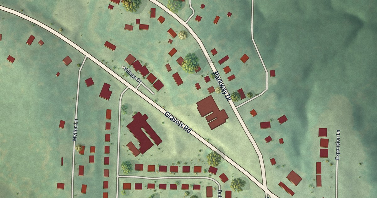
A detailed map of Parkway, Missouri, showing every building in its true location, the roads by name, and shaded topographical relief.
Read More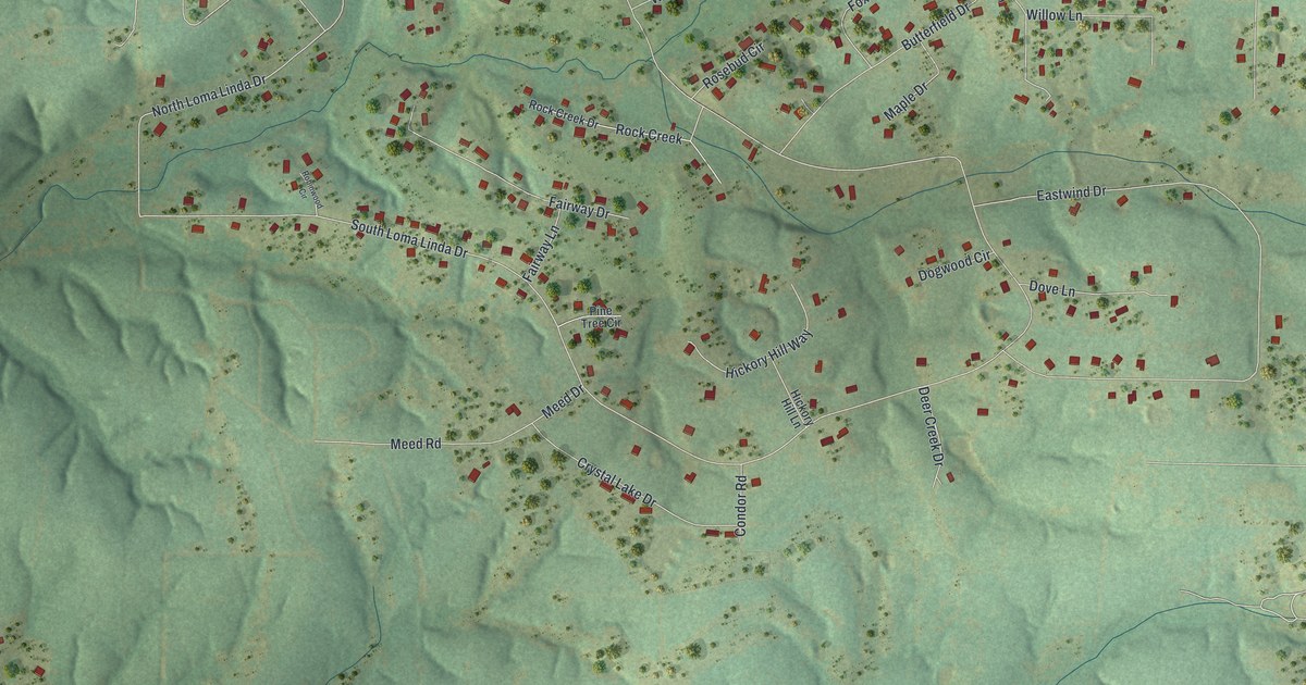
A detailed map of Loma Linda, Missouri, showing every building in its true location, the roads by name, and shaded topographical relief.
Read More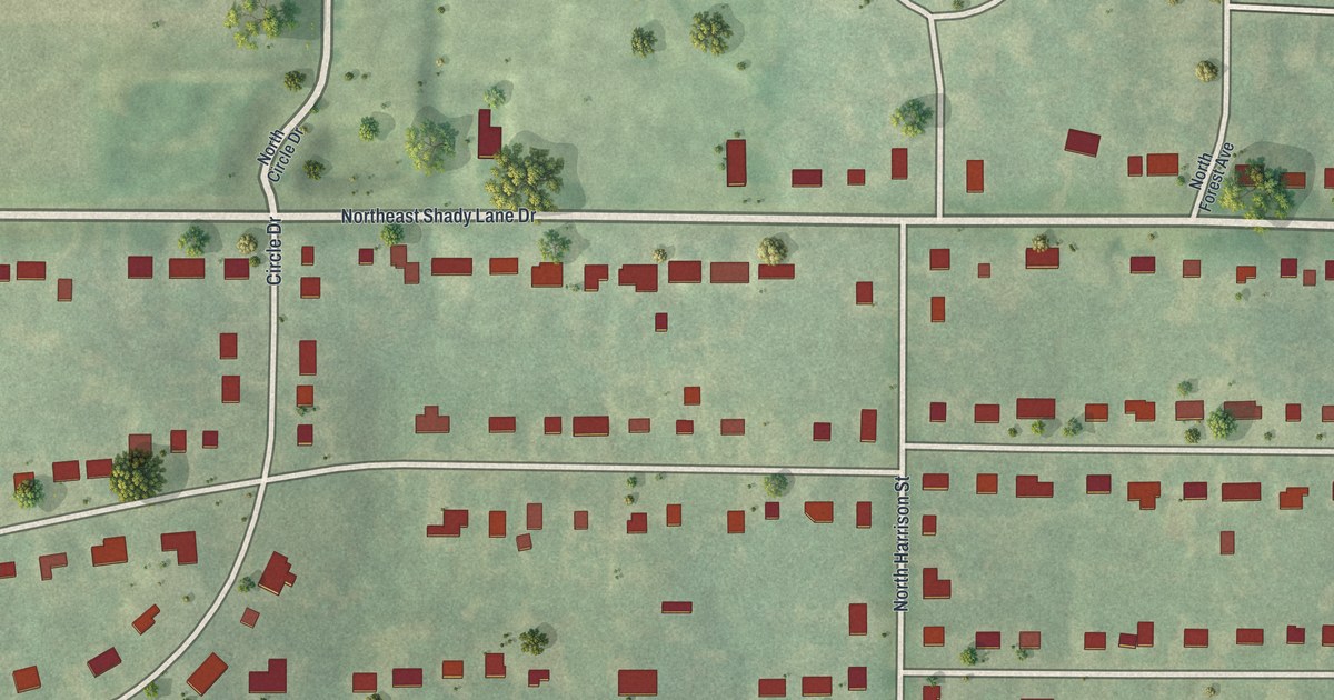
A detailed map of Oakview, Missouri, showing every building in its true location, the roads by name, and shaded topographical relief.
Read More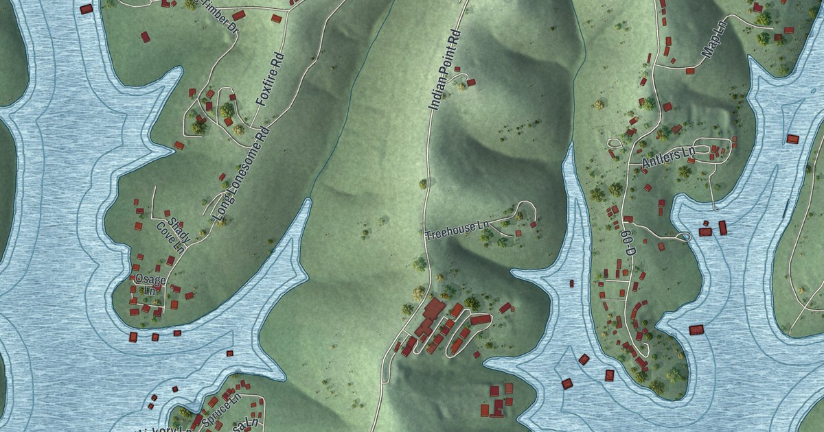
A detailed map of Indian Point, Missouri, showing every building in its true location, the roads by name, and shaded topographical relief.
Read More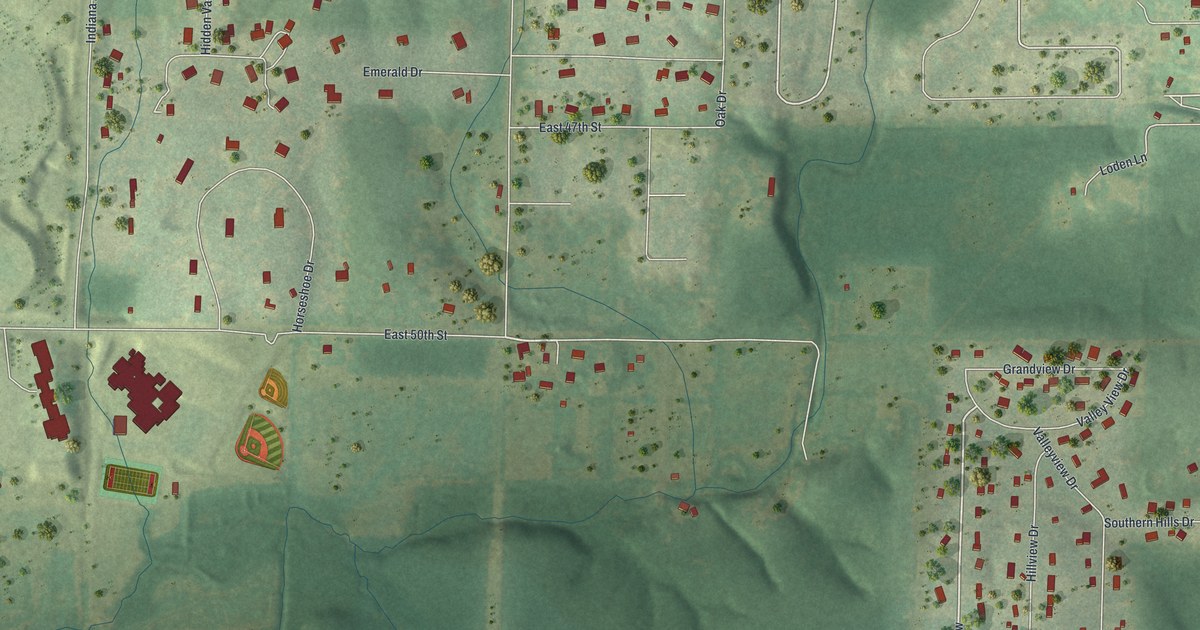
A detailed map of Leawood, Missouri, showing every building in its true location, the roads by name, and shaded topographical relief.
Read More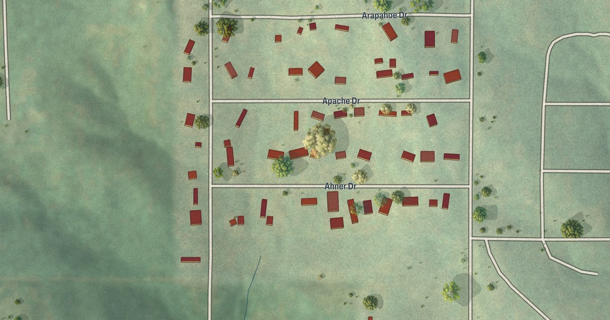
A detailed map of Homestead, Missouri, showing every building in its true location, the roads by name, and shaded topographical relief.
Read More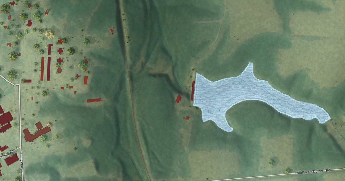
A detailed map of Unity Village, Missouri, showing every building in its true location, the roads by name, and shaded topographical relief.
Read More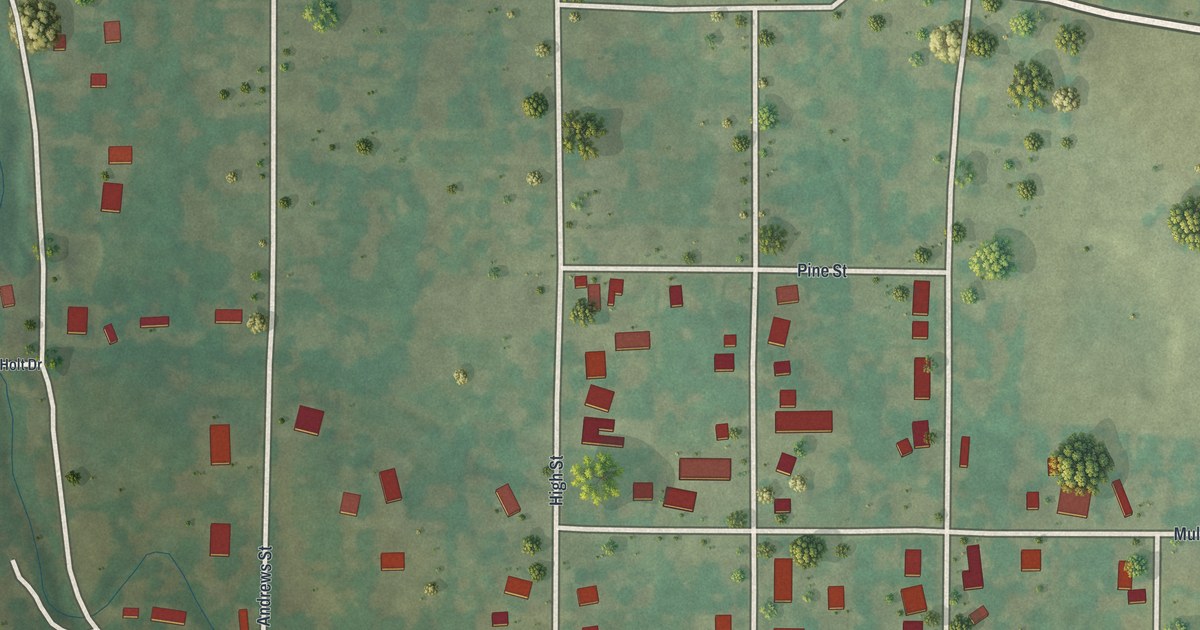
A detailed map of Cobalt, Missouri, showing every building in its true location, the roads by name, and shaded topographical relief.
Read More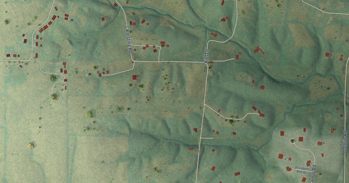
A detailed map of Josephville, Missouri, showing every building in its true location, the roads by name, and shaded topographical relief.
Read More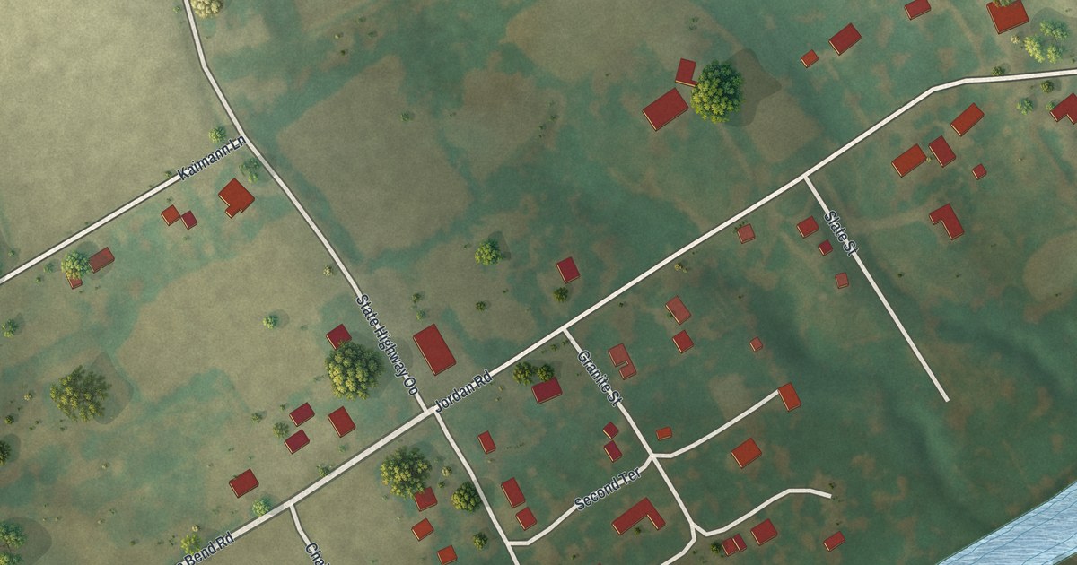
A detailed map of Chain of Rocks, Missouri, showing every building in its true location, the roads by name, and shaded topographical relief.
Read More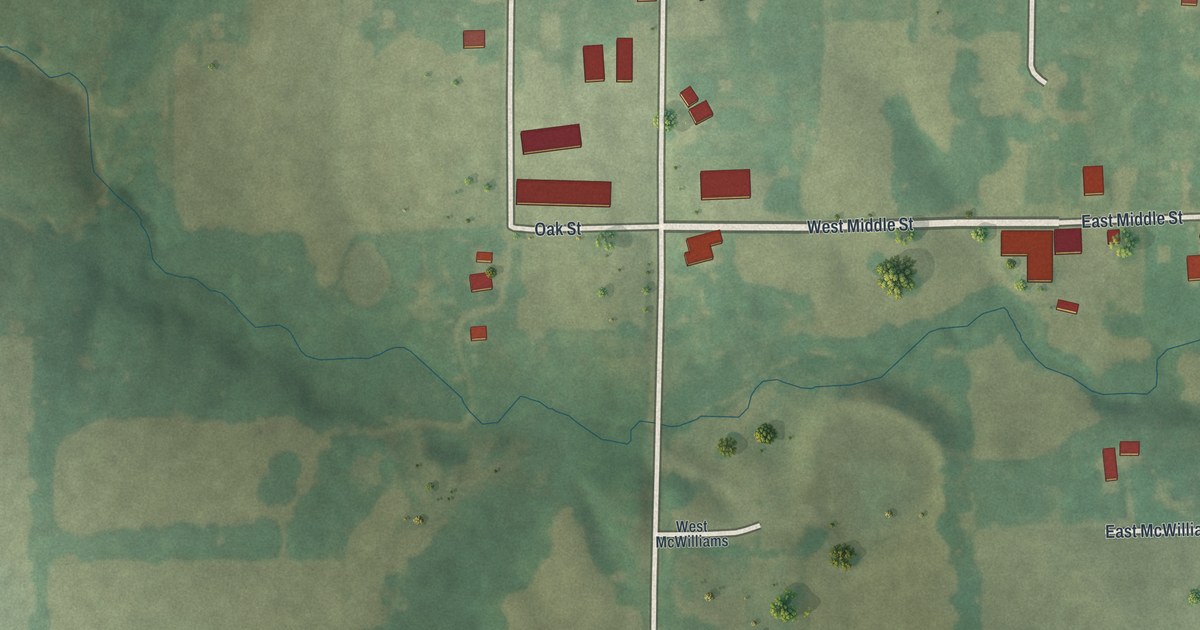
A detailed map of Leonard, Missouri, showing every building in its true location, the roads by name, and shaded topographical relief.
Read More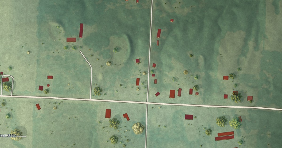
A detailed map of Tightwad, Missouri, showing every building in its true location, the roads by name, and shaded topographical relief.
Read More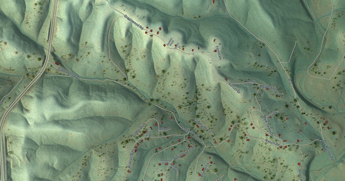
A detailed map of Saddlebrooke, Missouri, showing every building in its true location, the roads by name, and shaded topographical relief.
Read More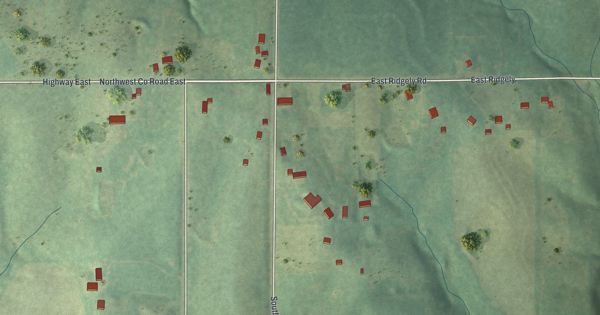
A detailed map of Ridgely, Missouri, showing every building in its true location, the roads by name, and shaded topographical relief.
Read More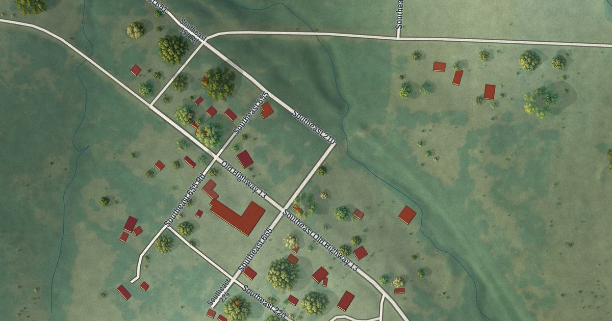
A detailed map of Vista, Missouri, showing every building in its true location, the roads by name, and shaded topographical relief.
Read More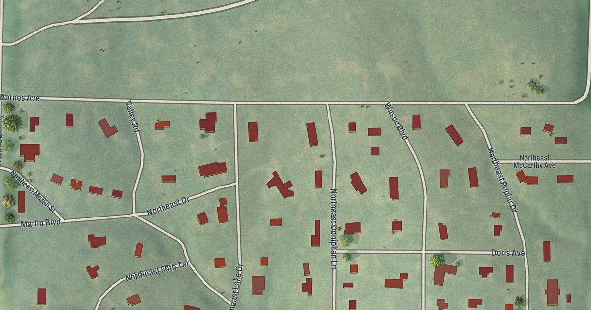
A detailed map of Oaks, Missouri, showing every building in its true location, the roads by name, and shaded topographical relief.
Read More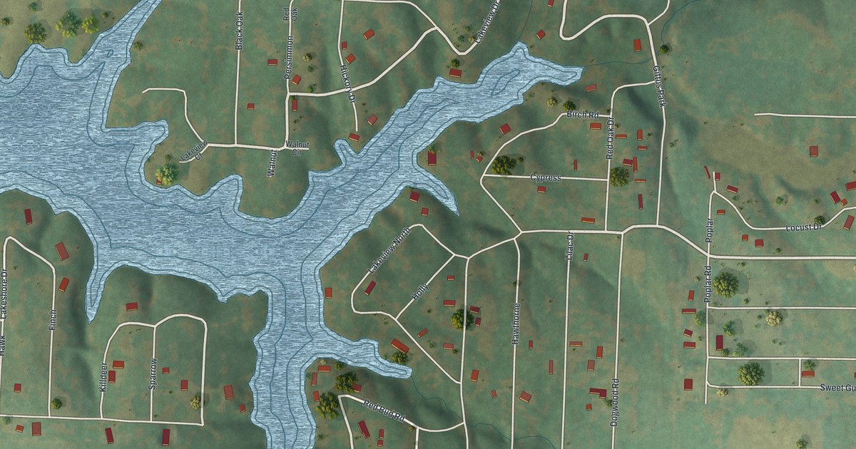
A detailed map of Lake Lafayette, Missouri, showing every building in its true location, the roads by name, and shaded topographical relief.
Read More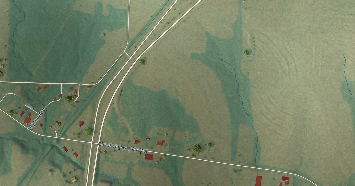
A detailed map of Kingdom City, Missouri, showing every building in its true location, the roads by name, and shaded topographical relief.
Read More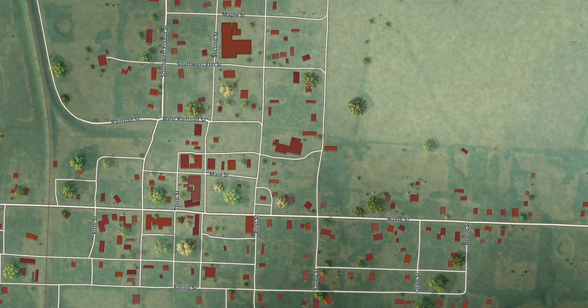
A detailed map of Hume, Missouri, showing every building in its true location, the roads by name, and shaded topographical relief.
Read More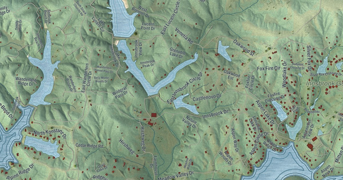
A detailed map of Innsbrook, Missouri, showing every building in its true location, the roads by name, and shaded topographical relief.
Read More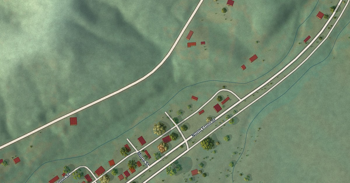
A detailed map of Des Arc, Missouri, showing every building in its true location, the roads by name, and shaded topographical relief.
Read More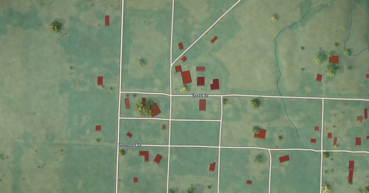
A detailed map of Foster, Missouri, showing every building in its true location, the roads by name, and shaded topographical relief.
Read More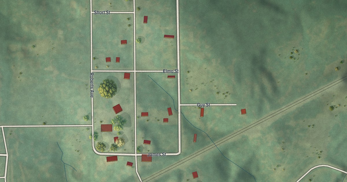
A detailed map of Elmira, Missouri, showing every building in its true location, the roads by name, and shaded topographical relief.
Read More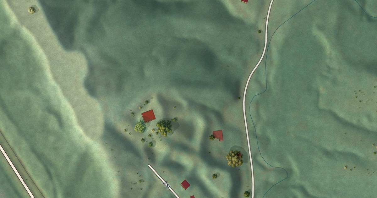
A detailed map of Iatan, Missouri, showing every building in its true location, the roads by name, and shaded topographical relief.
Read More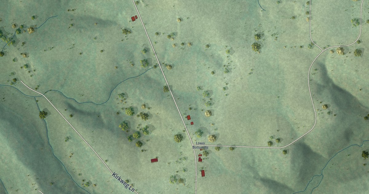
A detailed map of St. Thomas, Missouri, showing every building in its true location, the roads by name, and shaded topographical relief.
Read More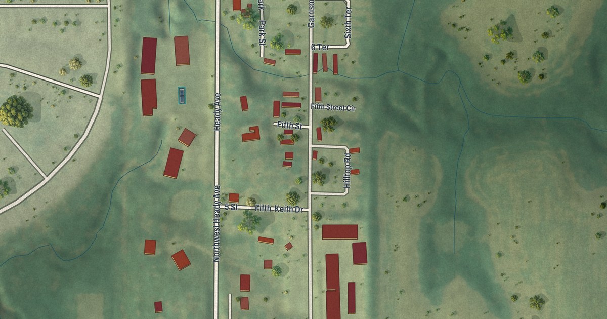
A detailed map of Ferrelview, Missouri, showing every building in its true location, the roads by name, and shaded topographical relief.
Read More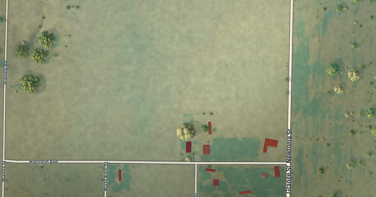
A detailed map of Stark City, Missouri, showing every building in its true location, the roads by name, and shaded topographical relief.
Read More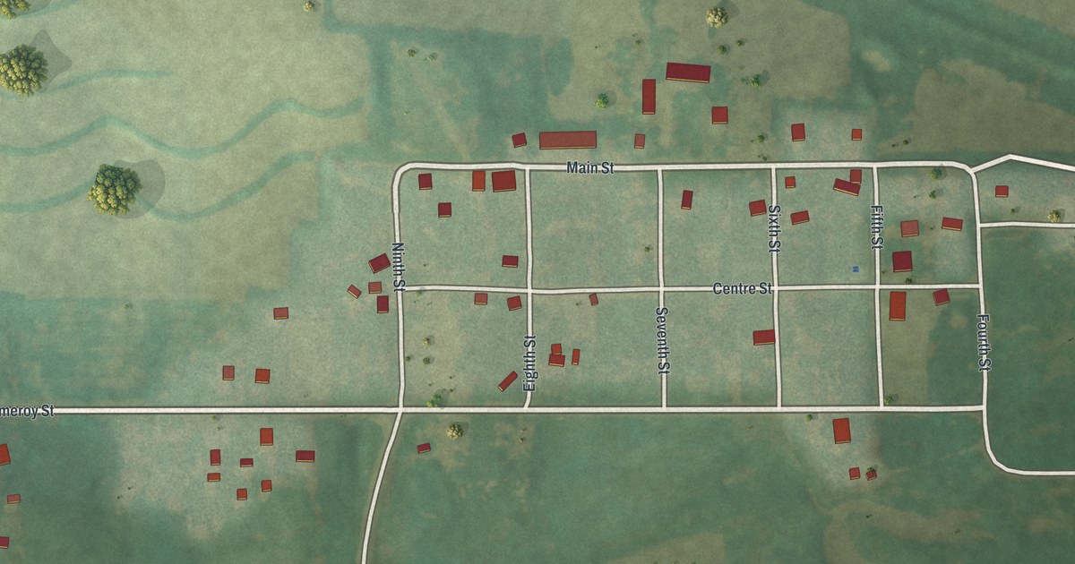
A detailed map of Darlington, Missouri, showing every building in its true location, the roads by name, and shaded topographical relief.
Read More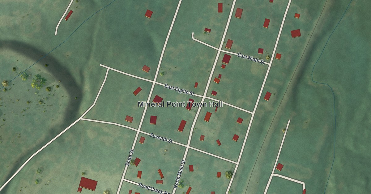
A detailed map of Mineral Point, Missouri, showing every building in its true location, the roads by name, and shaded topographical relief.
Read More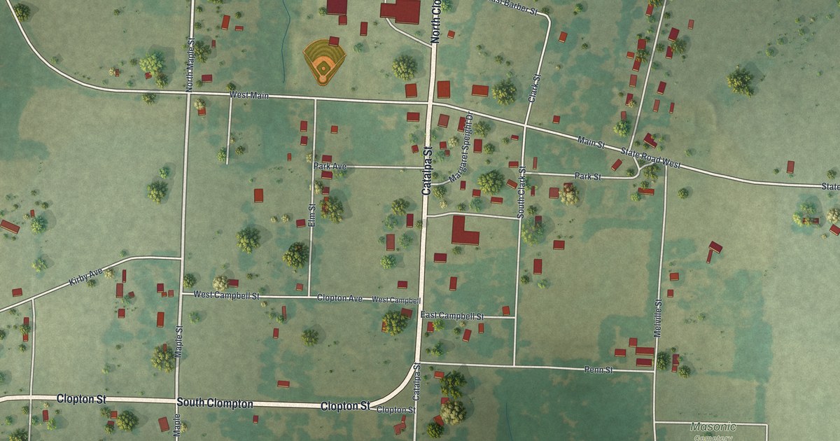
A detailed map of Dadeville, Missouri, showing every building in its true location, the roads by name, and shaded topographical relief.
Read More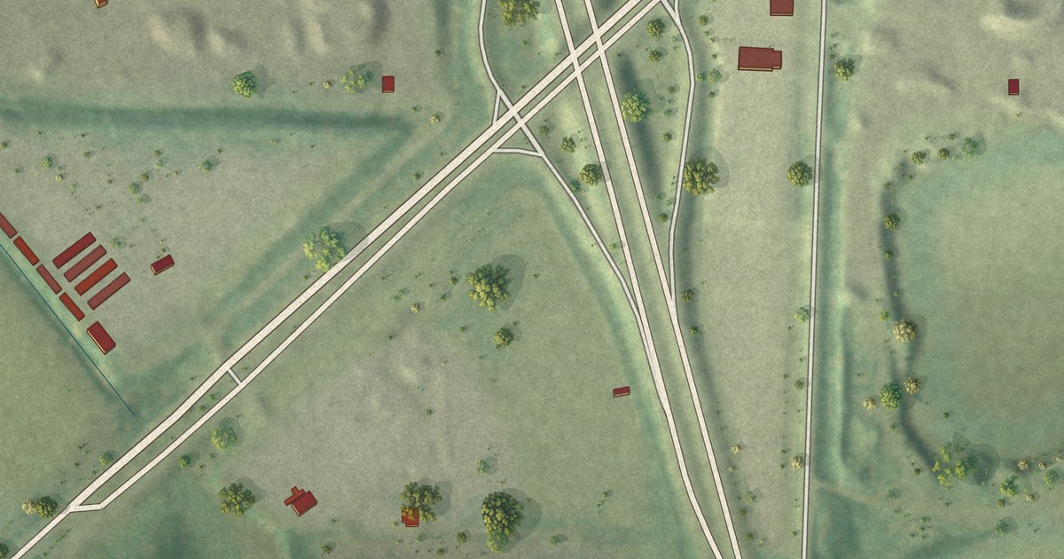
A detailed map of River Bend, Missouri, showing every building in its true location, the roads by name, and shaded topographical relief.
Read More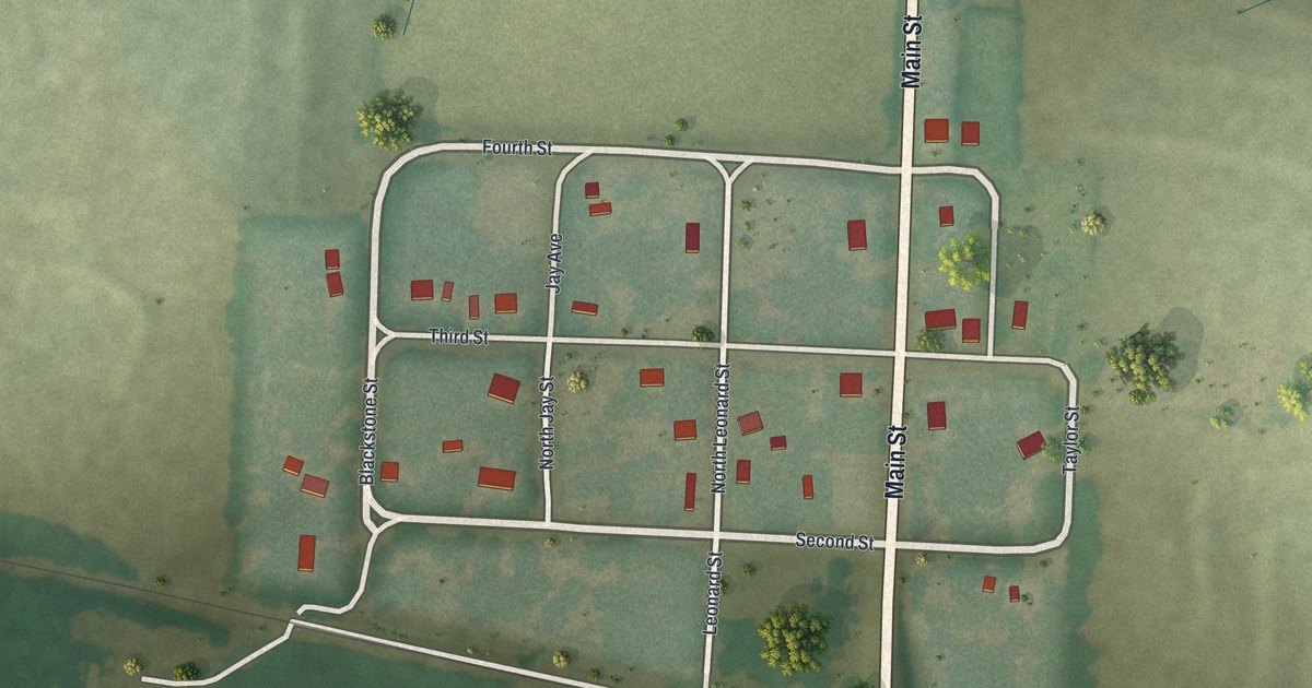
A detailed map of Mount Leonard, Missouri, showing every building in its true location, the roads by name, and shaded topographical relief.
Read More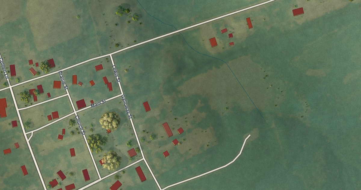
A detailed map of Whiteside, Missouri, showing every building in its true location, the roads by name, and shaded topographical relief.
Read More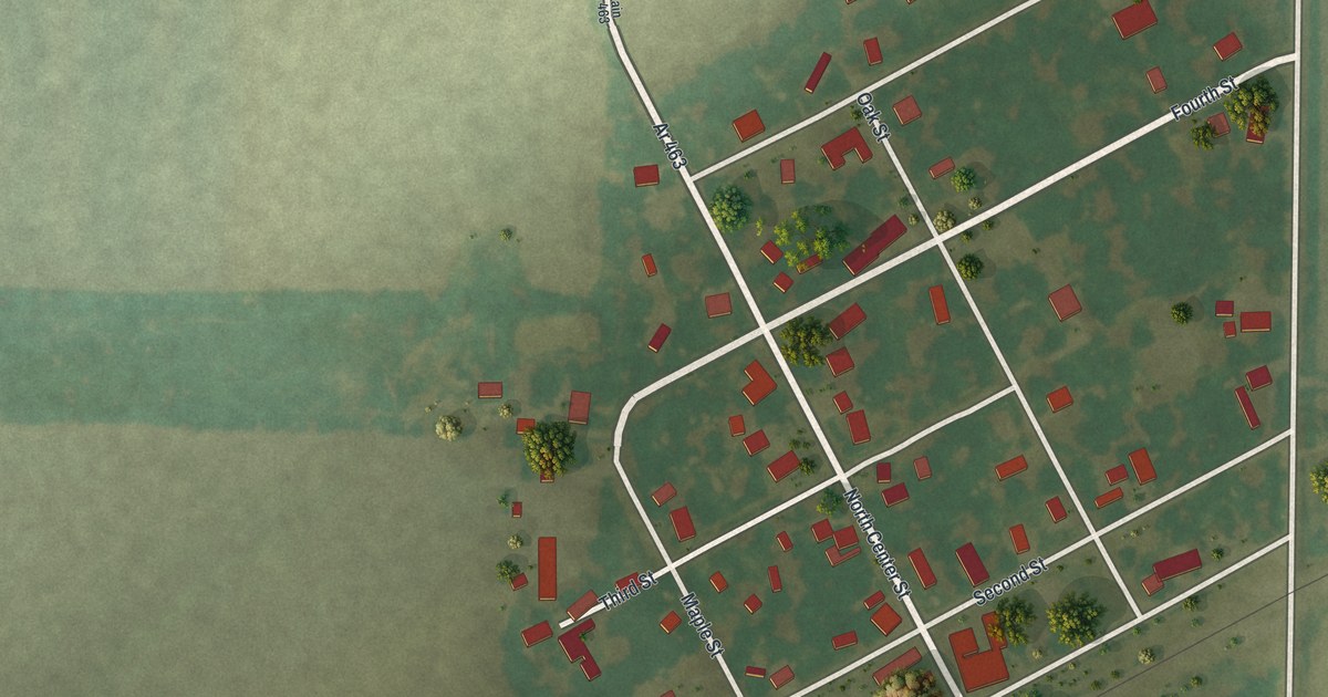
A detailed map of Rush Hill, Missouri, showing every building in its true location, the roads by name, and shaded topographical relief.
Read More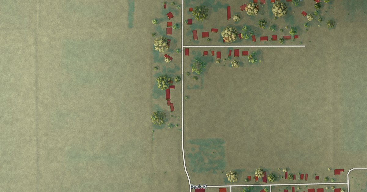
A detailed map of Wardell, Missouri, showing every building in its true location, the roads by name, and shaded topographical relief.
Read More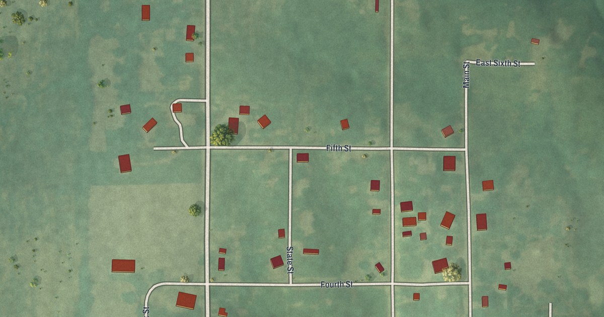
A detailed map of Tina, Missouri, showing every building in its true location, the roads by name, and shaded topographical relief.
Read More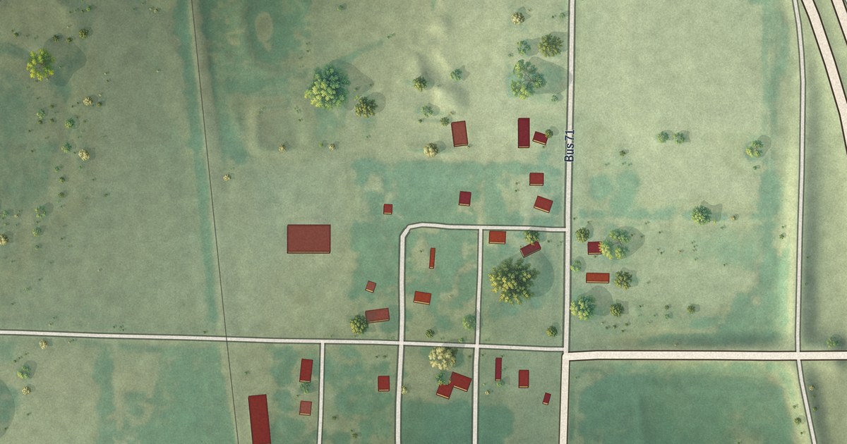
A detailed map of Passaic, Missouri, showing every building in its true location, the roads by name, and shaded topographical relief.
Read More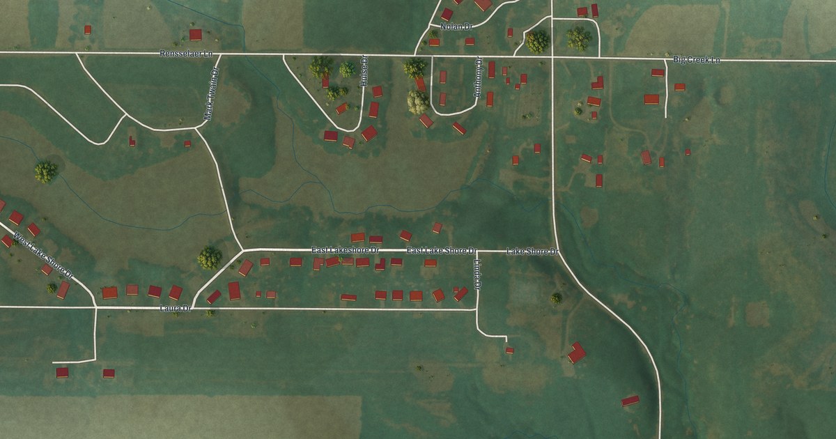
A detailed map of Rensselaer, Missouri, showing every building in its true location, the roads by name, and shaded topographical relief.
Read More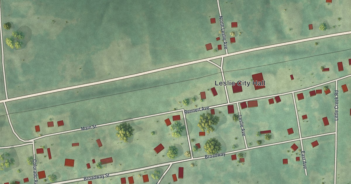
A detailed map of Leslie, Missouri, showing every building in its true location, the roads by name, and shaded topographical relief.
Read More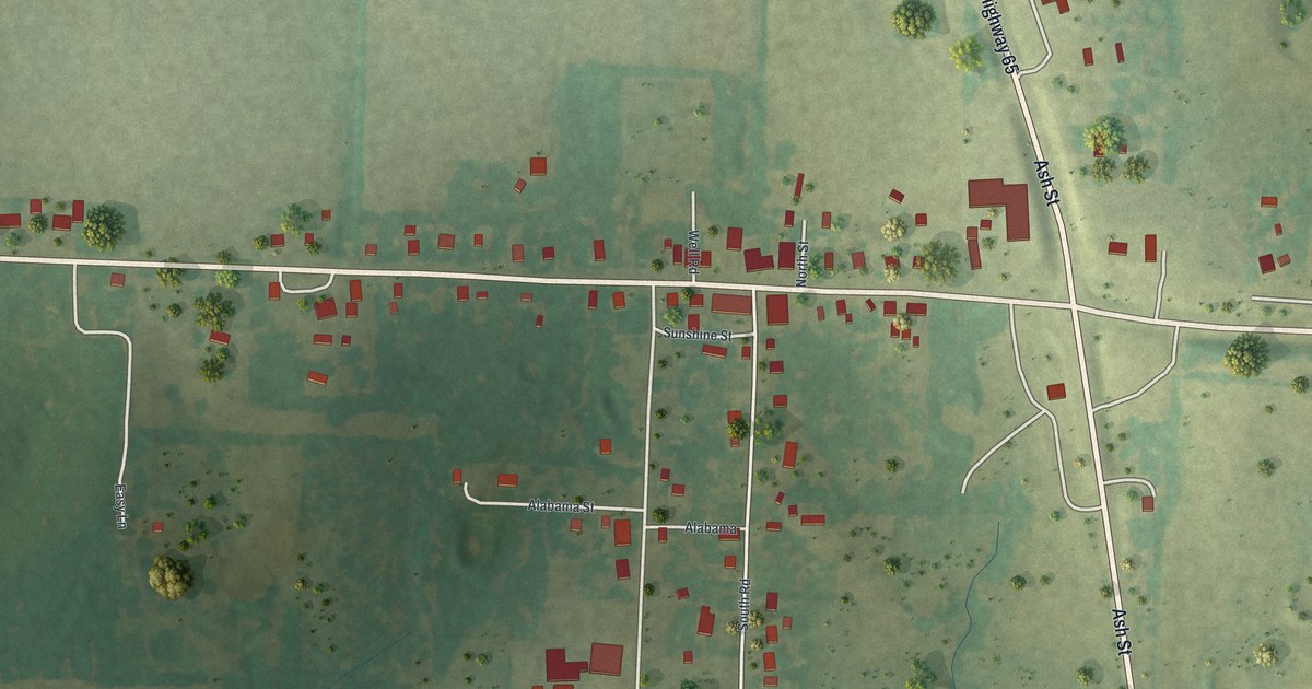
A detailed map of Louisburg, Missouri, showing every building in its true location, the roads by name, and shaded topographical relief.
Read More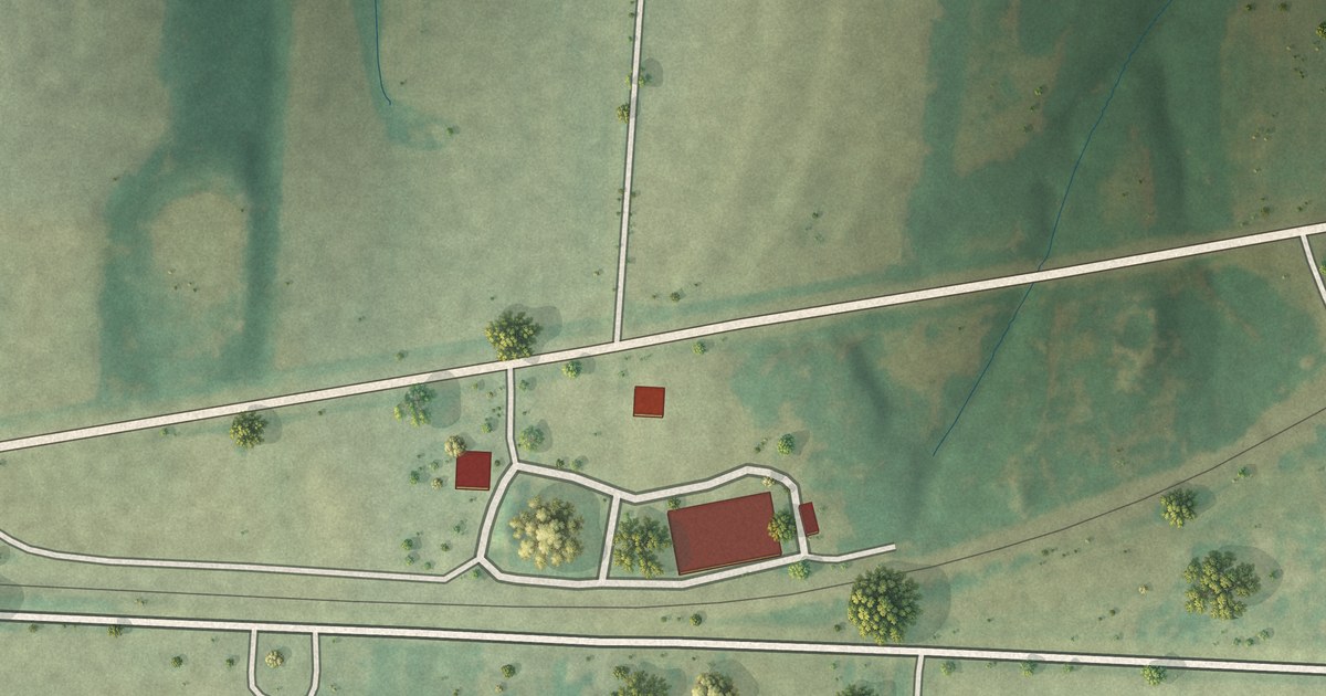
A detailed map of Goss, Missouri, showing every building in its true location, the roads by name, and shaded topographical relief.
Read More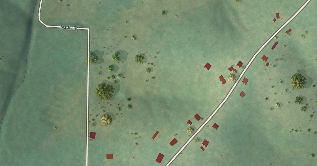
A detailed map of Brumley, Missouri, showing every building in its true location, the roads by name, and shaded topographical relief.
Read More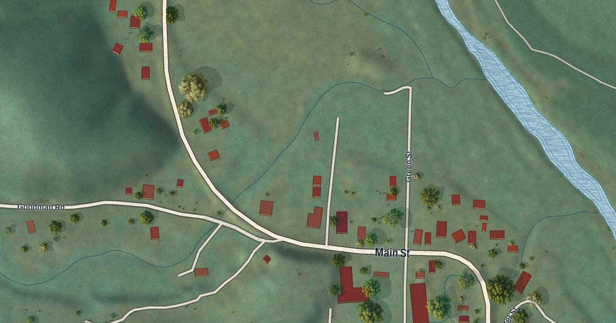
A detailed map of Centerville, Missouri, showing every building in its true location, the roads by name, and shaded topographical relief.
Read More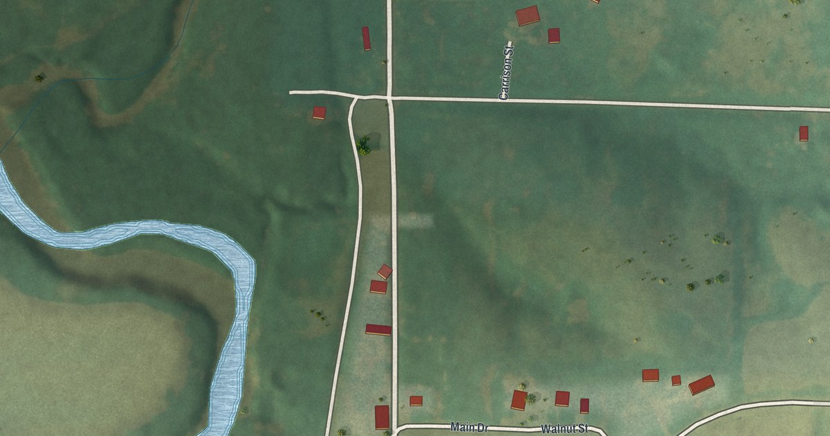
A detailed map of Denver, Missouri, showing every building in its true location, the roads by name, and shaded topographical relief.
Read More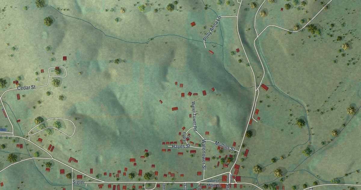
A detailed map of Bakersfield, Missouri, showing every building in its true location, the roads by name, and shaded topographical relief.
Read More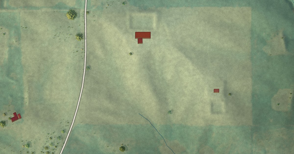
A detailed map of Irena, Missouri, showing every building in its true location, the roads by name, and shaded topographical relief.
Read More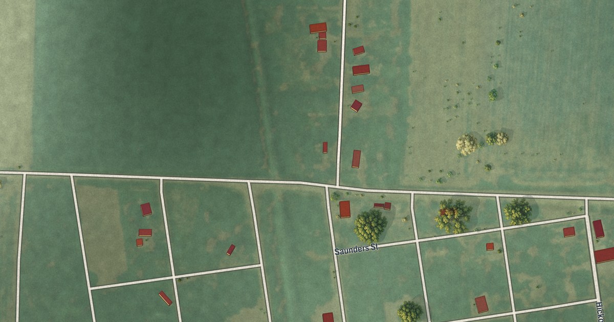
A detailed map of Triplett, Missouri, showing every building in its true location, the roads by name, and shaded topographical relief.
Read More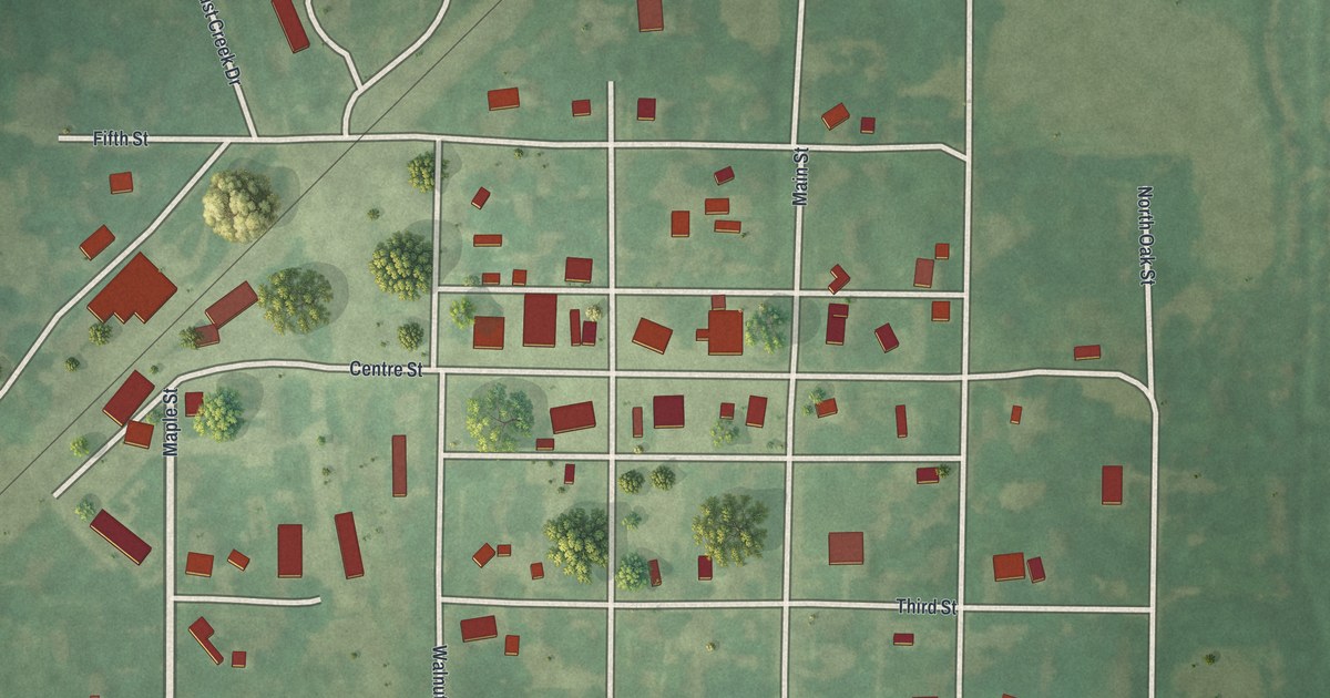
A detailed map of Sumner, Missouri, showing every building in its true location, the roads by name, and shaded topographical relief.
Read More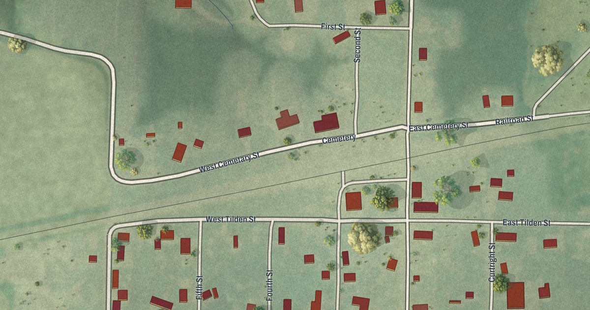
A detailed map of Holliday, Missouri, showing every building in its true location, the roads by name, and shaded topographical relief.
Read More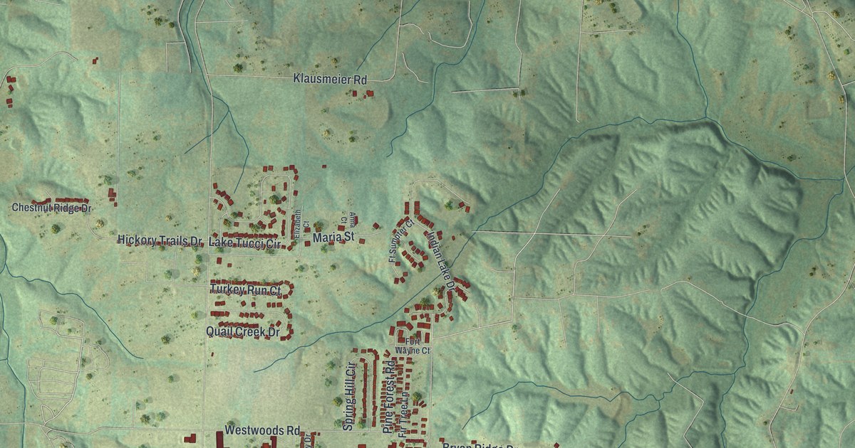
A detailed map of Wright City, Missouri, showing every building in its true location, the roads by name, and shaded topographical relief.
Read More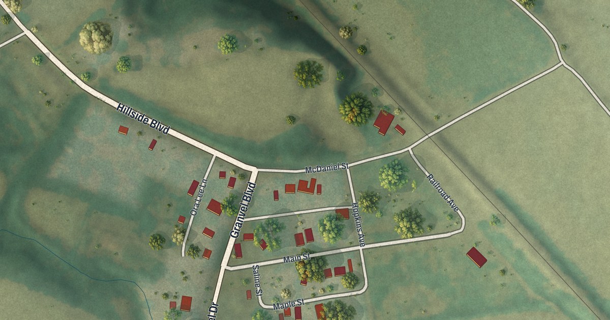
A detailed map of Wooldridge, Missouri, showing every building in its true location, the roads by name, and shaded topographical relief.
Read More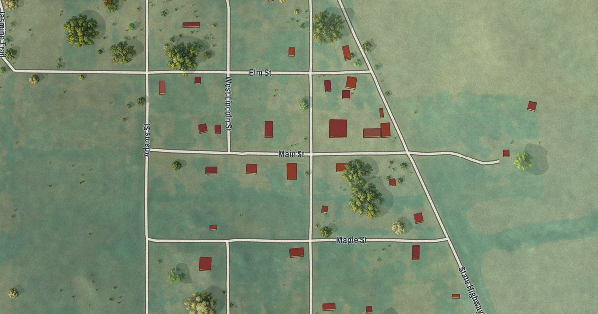
A detailed map of Worth, Missouri, showing every building in its true location, the roads by name, and shaded topographical relief.
Read More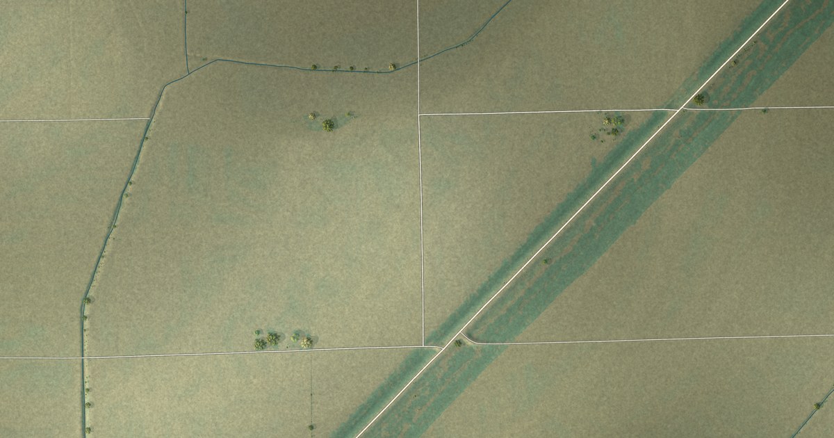
A detailed map of Wyatt, Missouri, showing every building in its true location, the roads by name, and shaded topographical relief.
Read More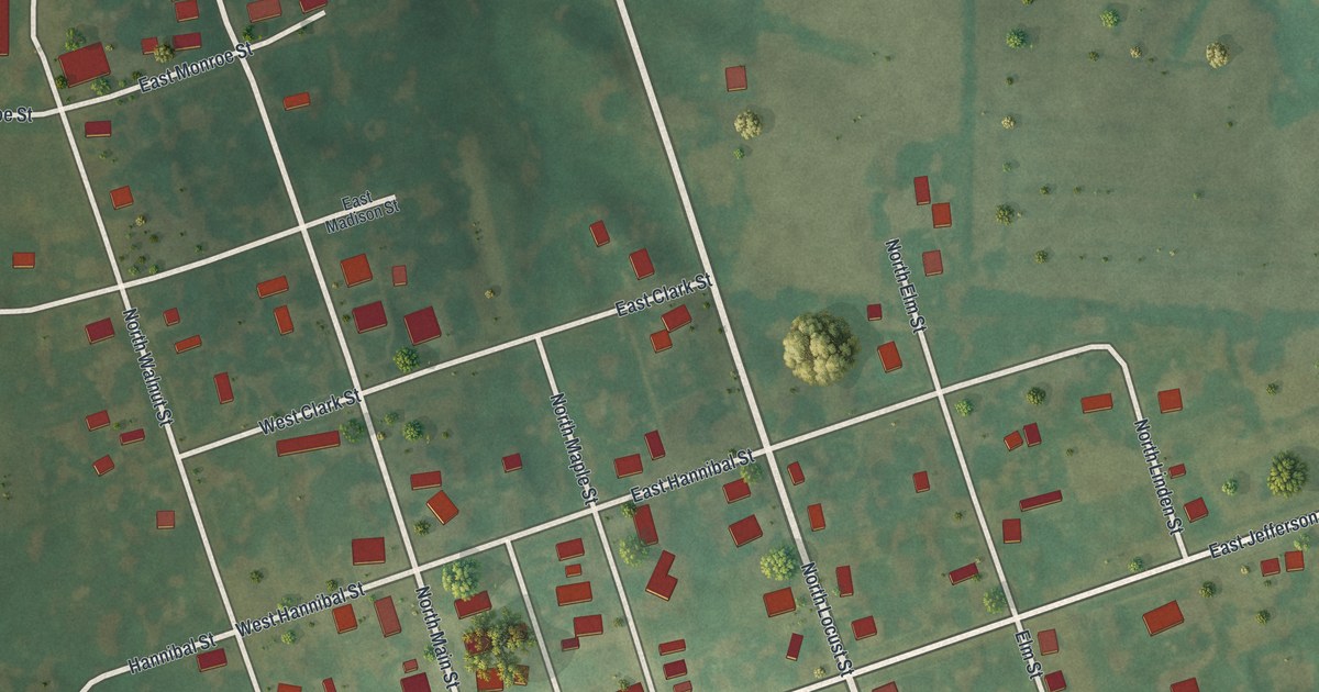
A detailed map of Wyaconda, Missouri, showing every building in its true location, the roads by name, and shaded topographical relief.
Read More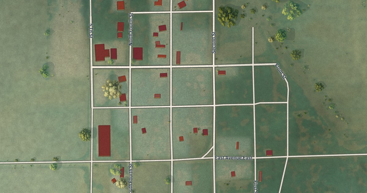
A detailed map of Worthington, Missouri, showing every building in its true location, the roads by name, and shaded topographical relief.
Read More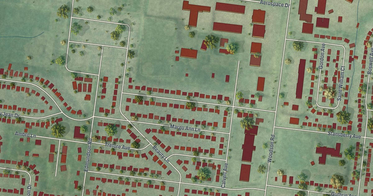
A detailed map of Woodson Terrace, Missouri, showing every building in its true location, the roads by name, and shaded topographical relief.
Read More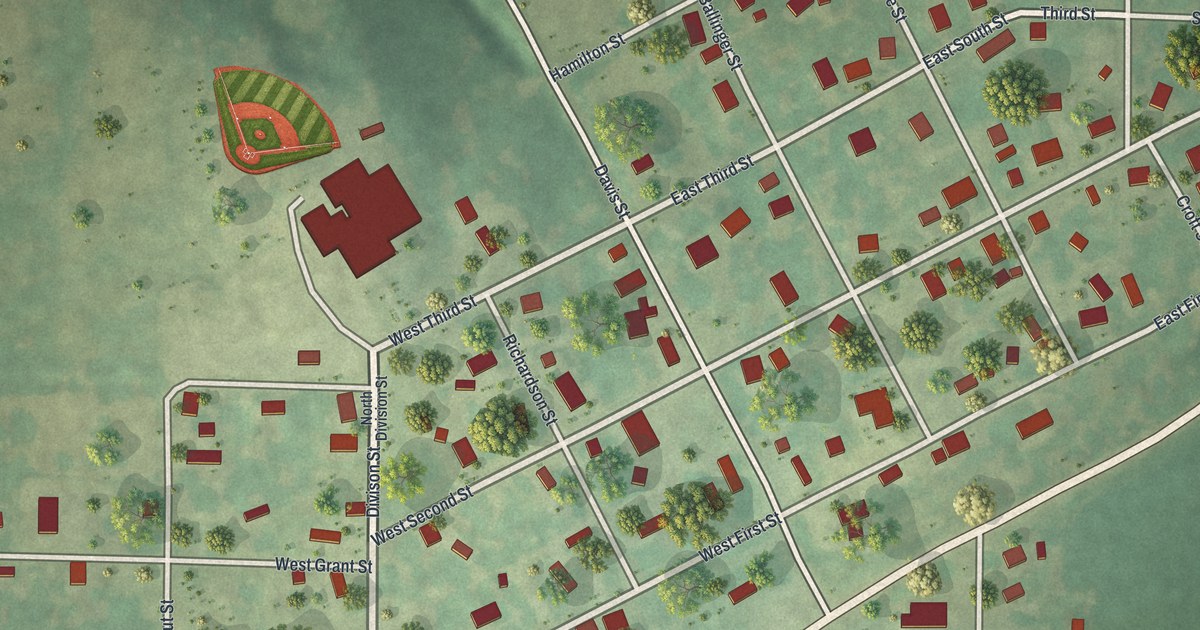
A detailed map of Winston, Missouri, showing every building in its true location, the roads by name, and shaded topographical relief.
Read More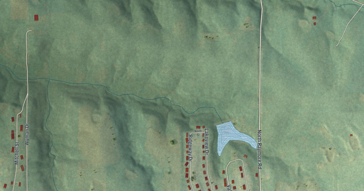
A detailed map of Wood Heights, Missouri, showing every building in its true location, the roads by name, and shaded topographical relief.
Read More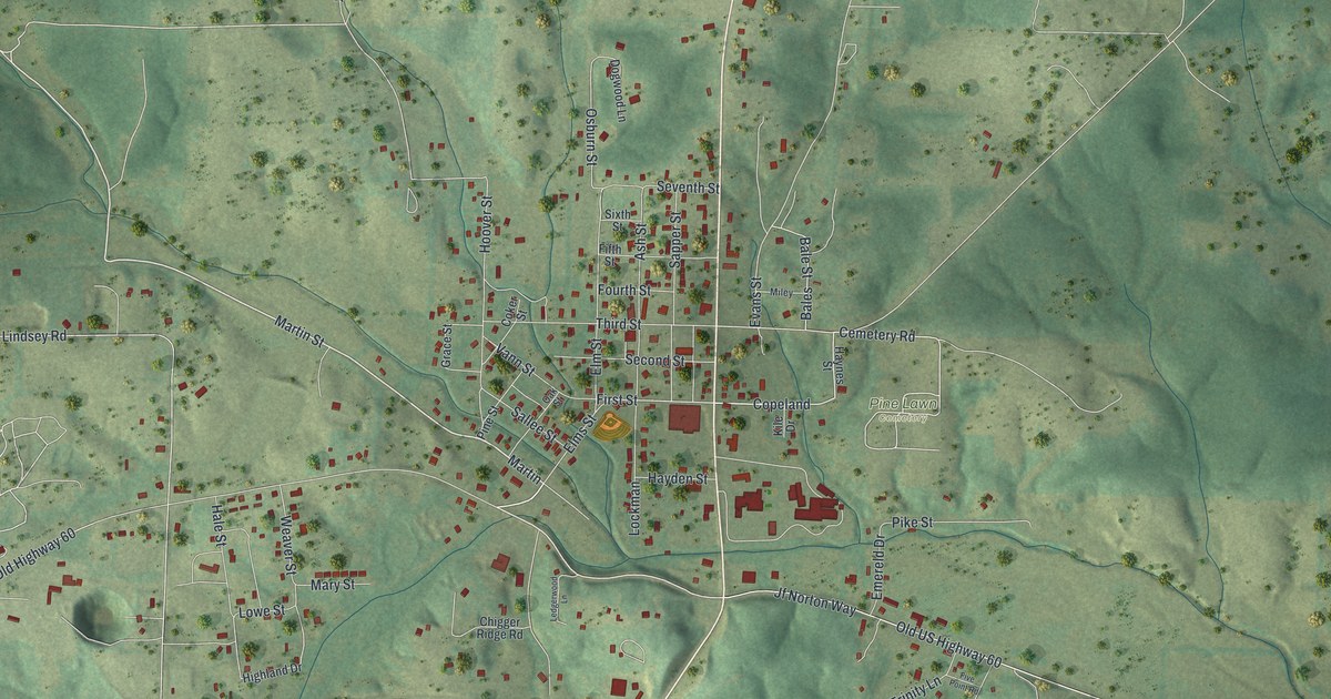
A detailed map of Winona, Missouri, showing every building in its true location, the roads by name, and shaded topographical relief.
Read More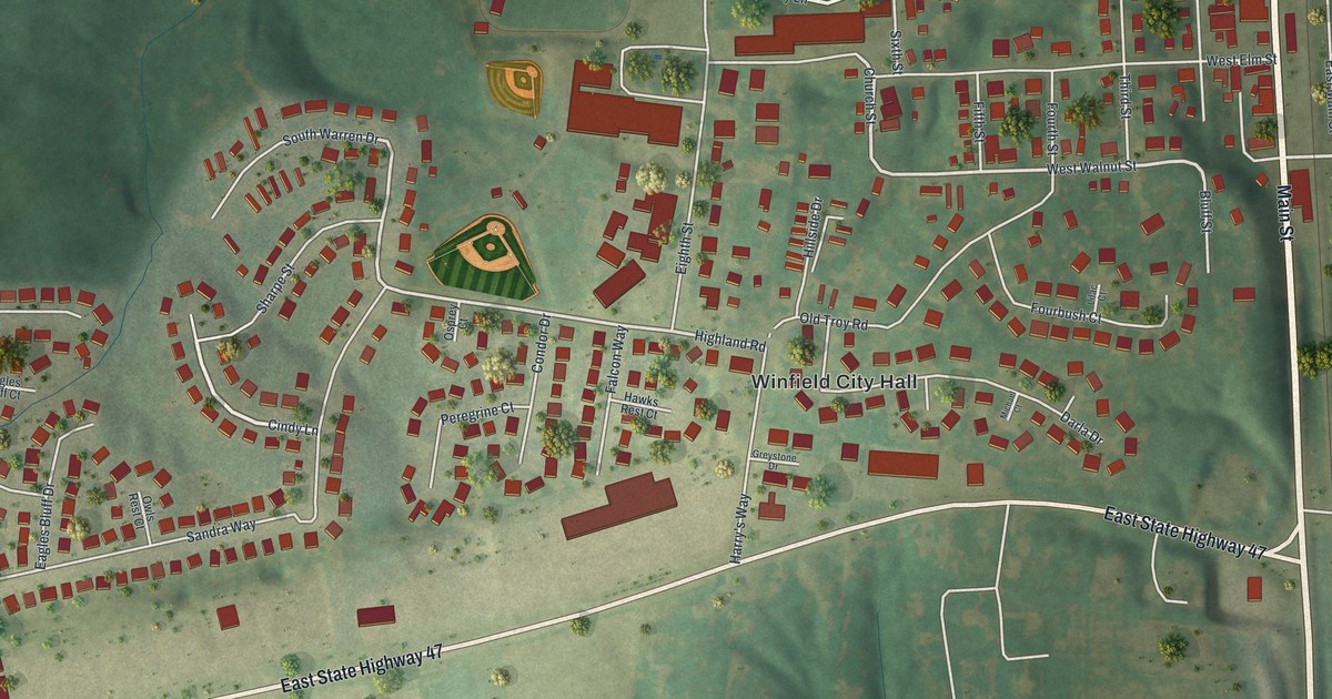
A detailed map of Winfield, Missouri, showing every building in its true location, the roads by name, and shaded topographical relief.
Read More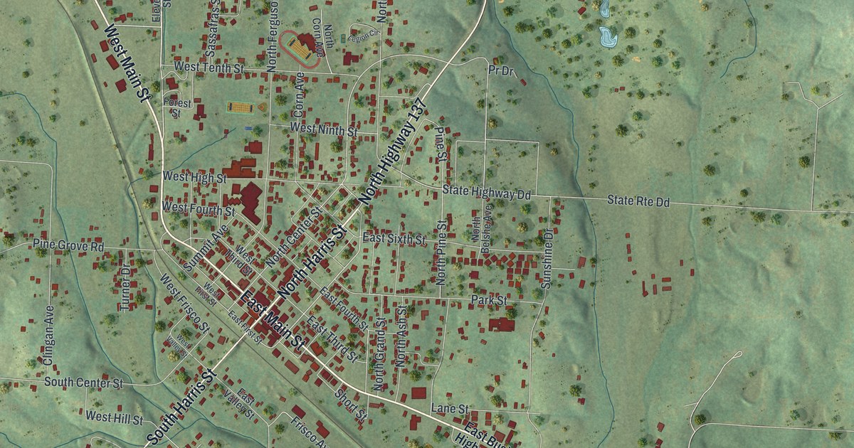
A detailed map of Willow Springs, Missouri, showing every building in its true location, the roads by name, and shaded topographical relief.
Read More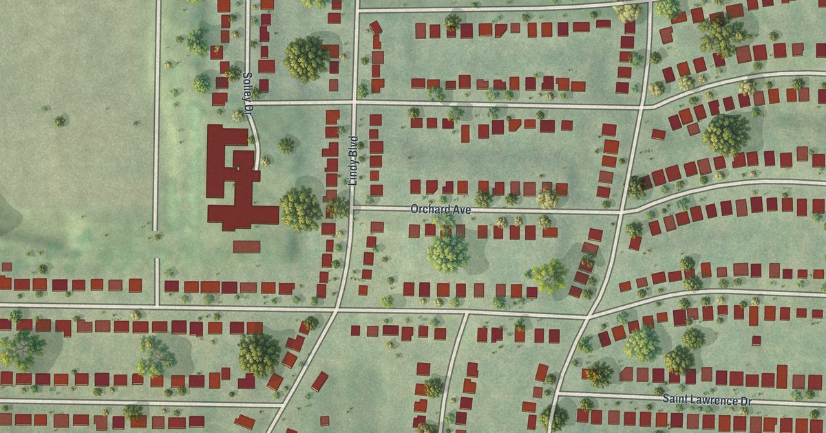
A detailed map of Winchester, Missouri, showing every building in its true location, the roads by name, and shaded topographical relief.
Read More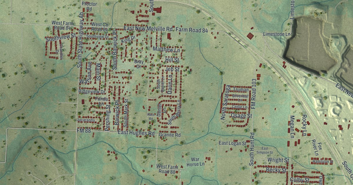
A detailed map of Willard, Missouri, showing every building in its true location, the roads by name, and shaded topographical relief.
Read More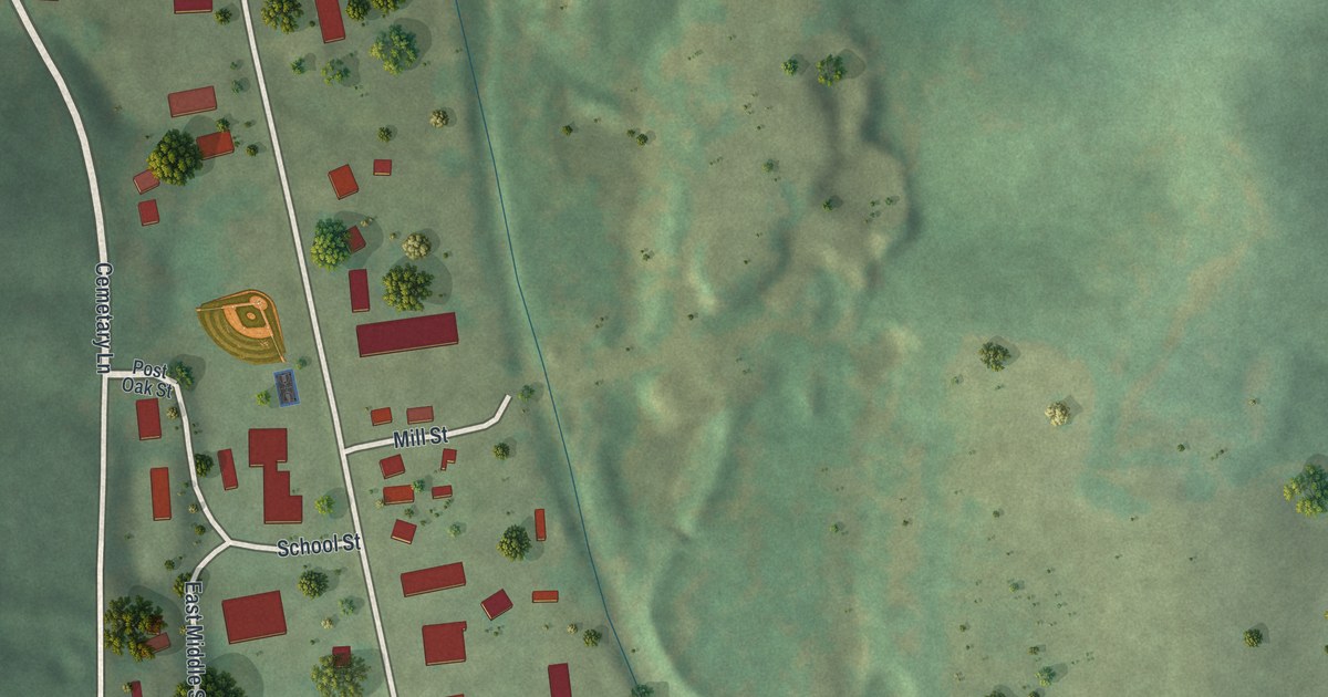
A detailed map of Williamsville, Missouri, showing every building in its true location, the roads by name, and shaded topographical relief.
Read More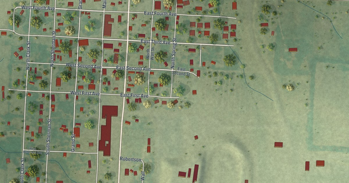
A detailed map of Wheatland, Missouri, showing every building in its true location, the roads by name, and shaded topographical relief.
Read More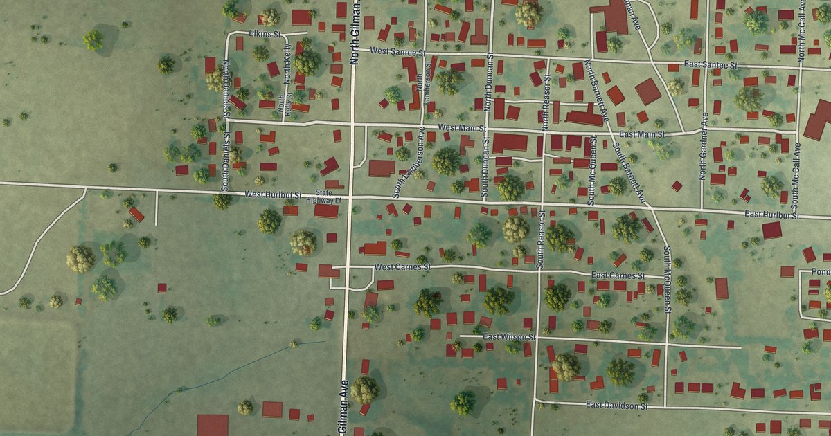
A detailed map of Wheaton, Missouri, showing every building in its true location, the roads by name, and shaded topographical relief.
Read More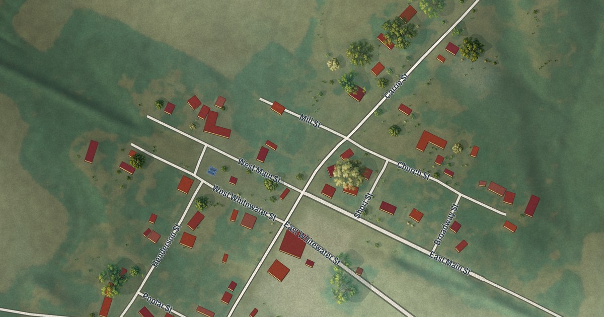
A detailed map of Whitewater, Missouri, showing every building in its true location, the roads by name, and shaded topographical relief.
Read More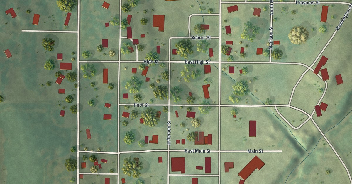
A detailed map of Westboro, Missouri, showing every building in its true location, the roads by name, and shaded topographical relief.
Read More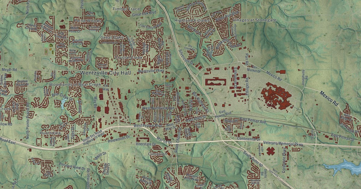
A detailed map of Wentzville, Missouri, showing every building in its true location, the roads by name, and shaded topographical relief.
Read More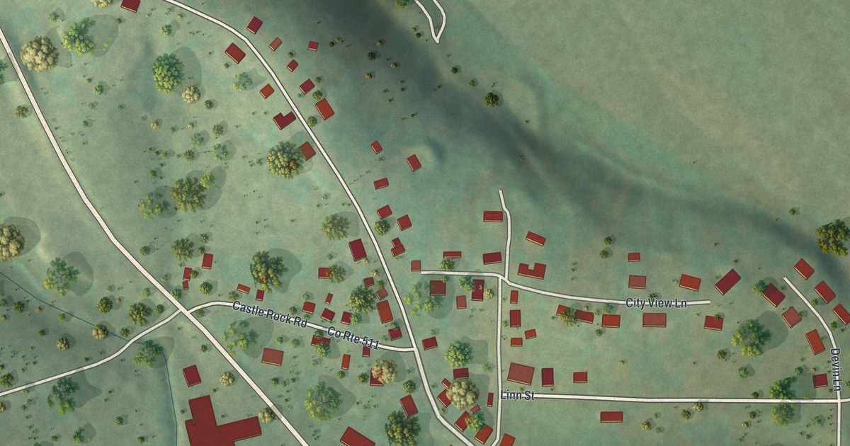
A detailed map of Westphalia, Missouri, showing every building in its true location, the roads by name, and shaded topographical relief.
Read More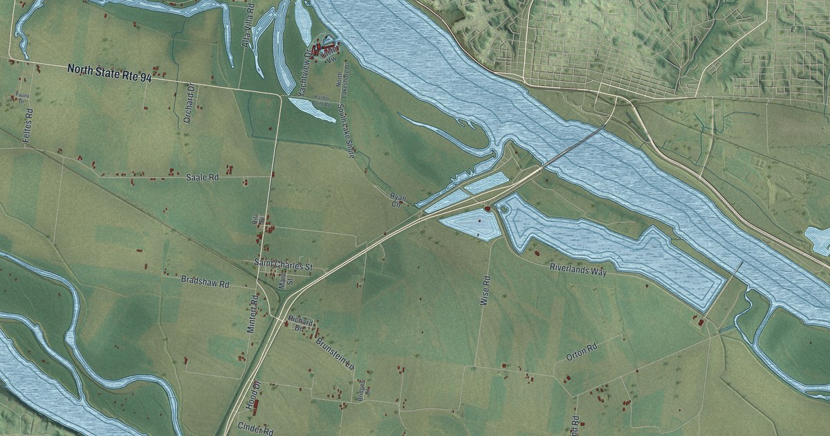
A detailed map of West Alton, Missouri, showing every building in its true location, the roads by name, and shaded topographical relief.
Read More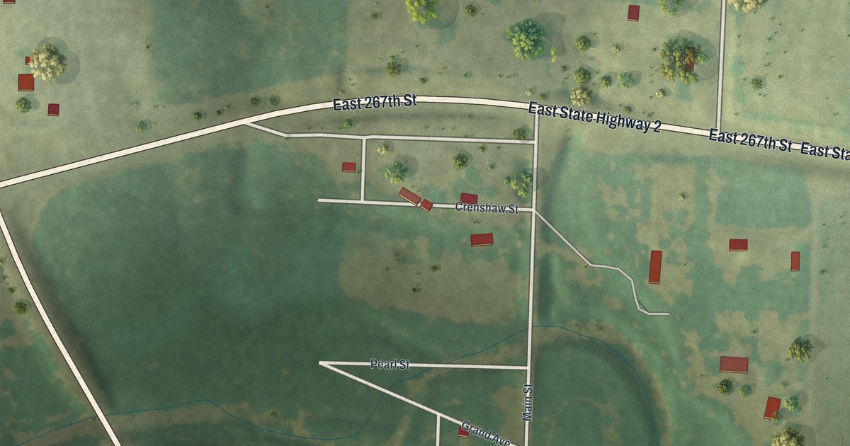
A detailed map of West Line, Missouri, showing every building in its true location, the roads by name, and shaded topographical relief.
Read More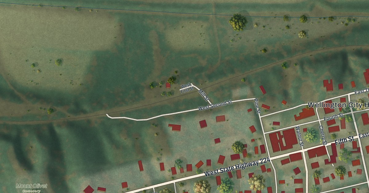
A detailed map of Wellington, Missouri, showing every building in its true location, the roads by name, and shaded topographical relief.
Read More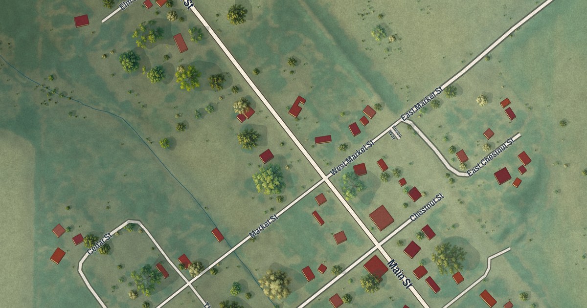
A detailed map of Wentworth, Missouri, showing every building in its true location, the roads by name, and shaded topographical relief.
Read More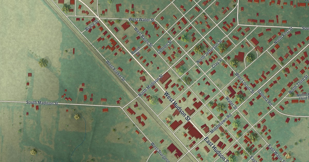
A detailed map of Wellsville, Missouri, showing every building in its true location, the roads by name, and shaded topographical relief.
Read More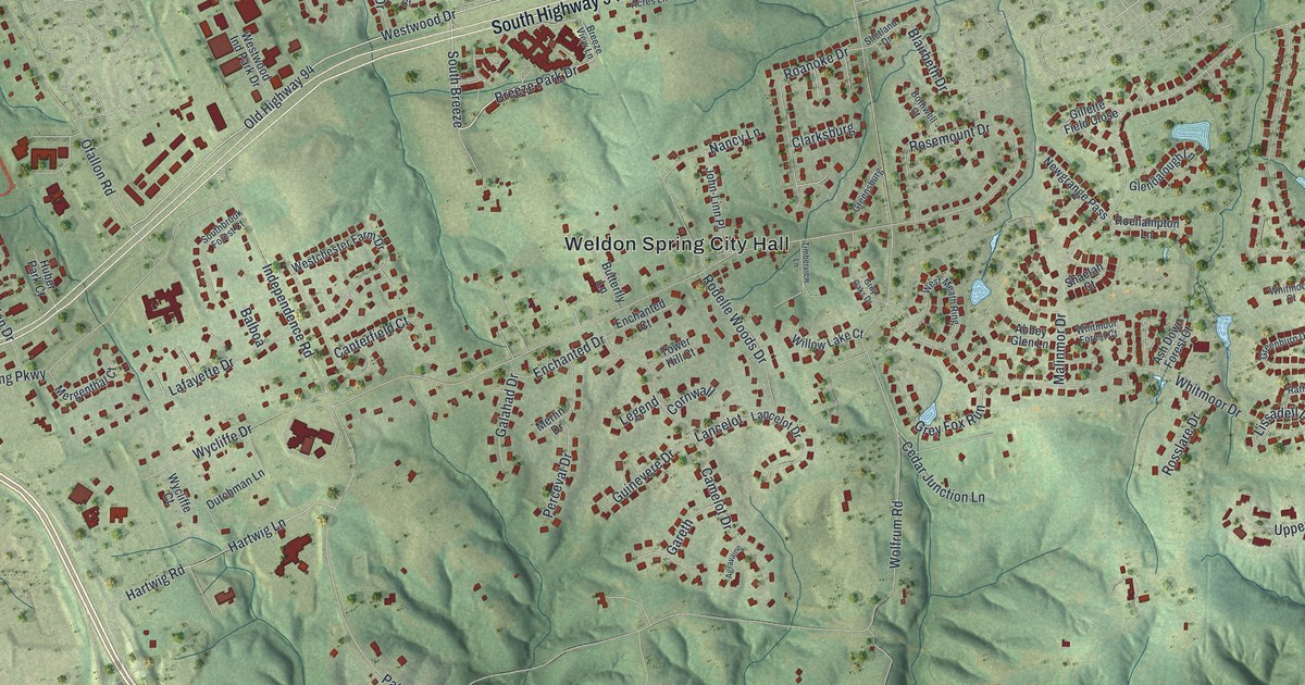
A detailed map of Weldon Spring, Missouri, showing every building in its true location, the roads by name, and shaded topographical relief.
Read More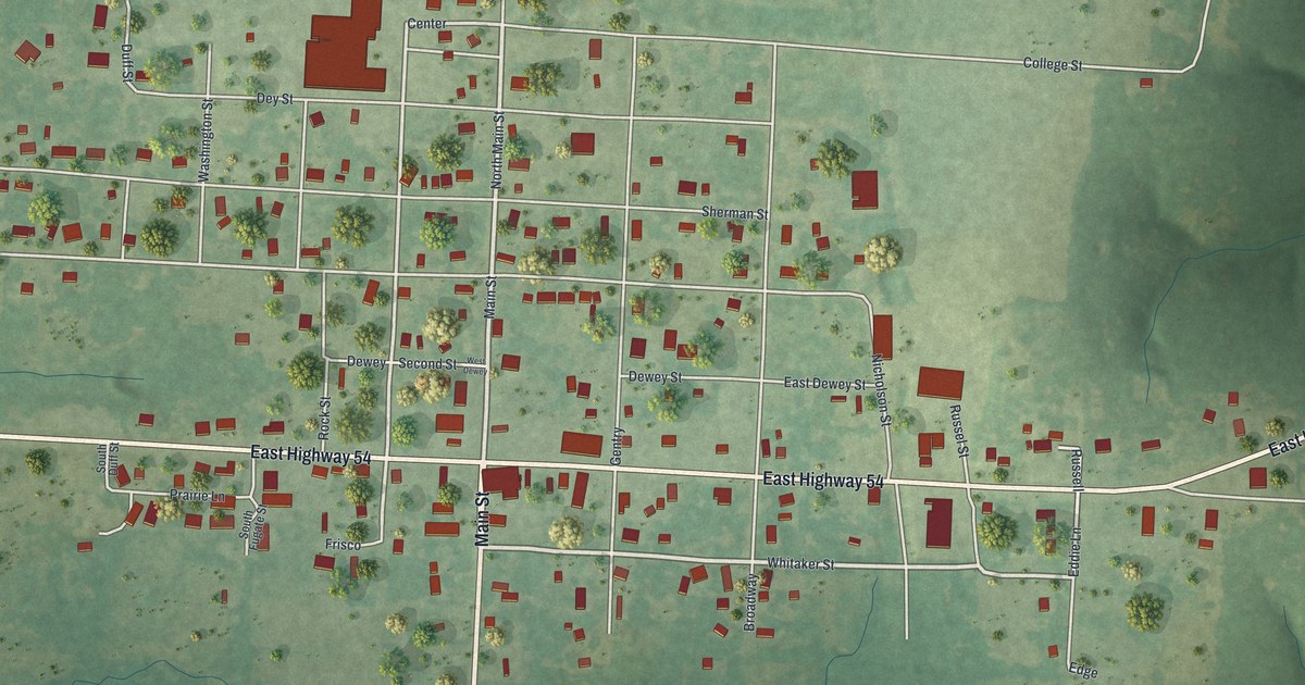
A detailed map of Weaubleau, Missouri, showing every building in its true location, the roads by name, and shaded topographical relief.
Read More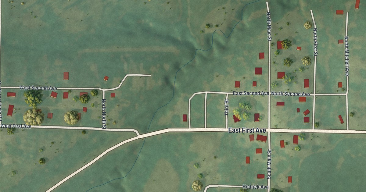
A detailed map of Weatherby, Missouri, showing every building in its true location, the roads by name, and shaded topographical relief.
Read More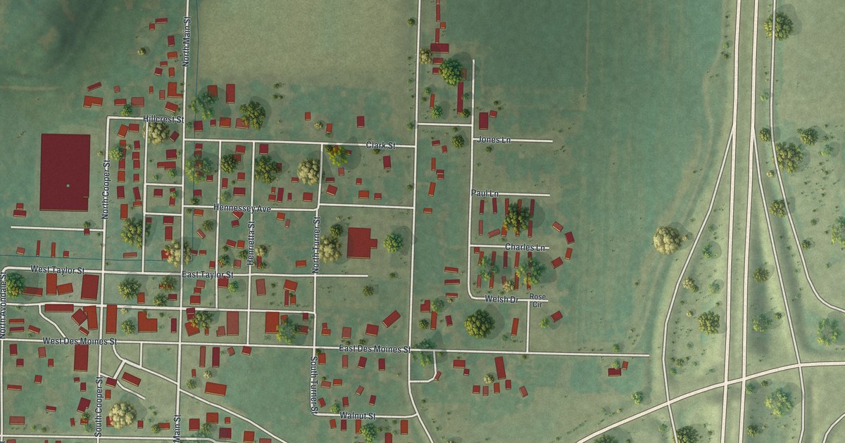
A detailed map of Wayland, Missouri, showing every building in its true location, the roads by name, and shaded topographical relief.
Read More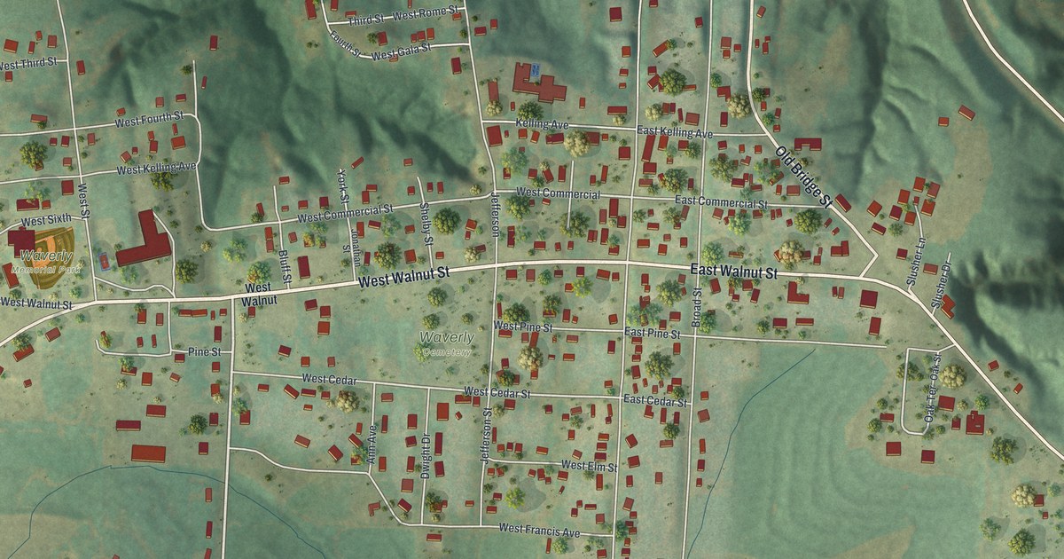
A detailed map of Waverly, Missouri, showing every building in its true location, the roads by name, and shaded topographical relief.
Read More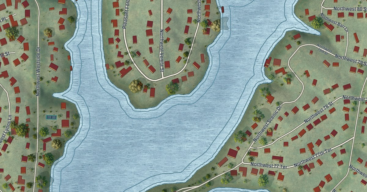
A detailed map of Weatherby Lake, Missouri, showing every building in its true location, the roads by name, and shaded topographical relief.
Read More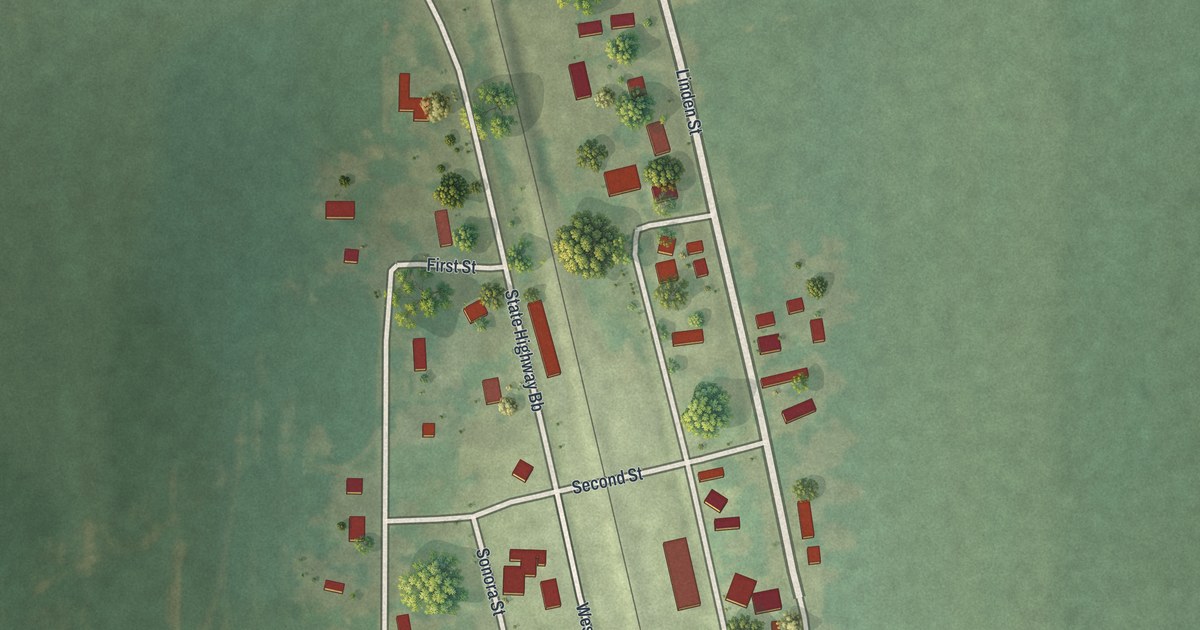
A detailed map of Watson, Missouri, showing every building in its true location, the roads by name, and shaded topographical relief.
Read More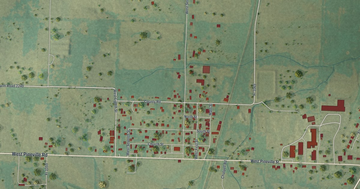
A detailed map of Washburn, Missouri, showing every building in its true location, the roads by name, and shaded topographical relief.
Read More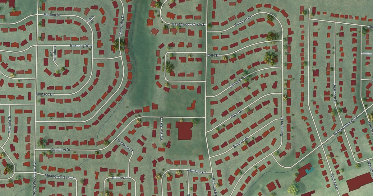
A detailed map of Warson Woods, Missouri, showing every building in its true location, the roads by name, and shaded topographical relief.
Read More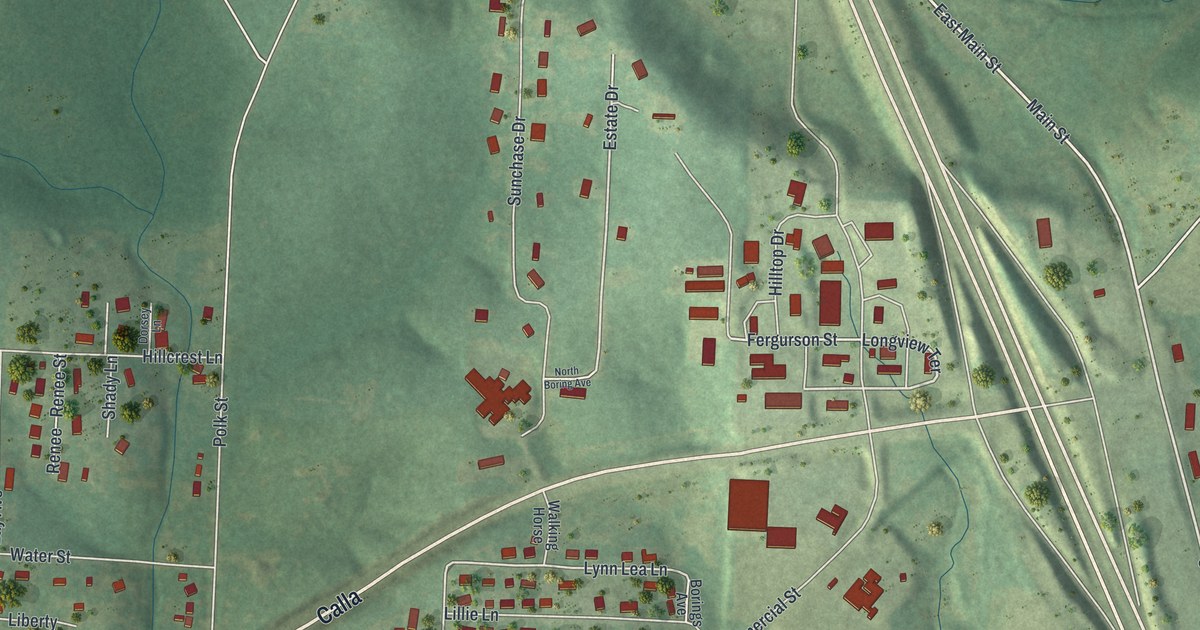
A detailed map of Warsaw, Missouri, showing every building in its true location, the roads by name, and shaded topographical relief.
Read More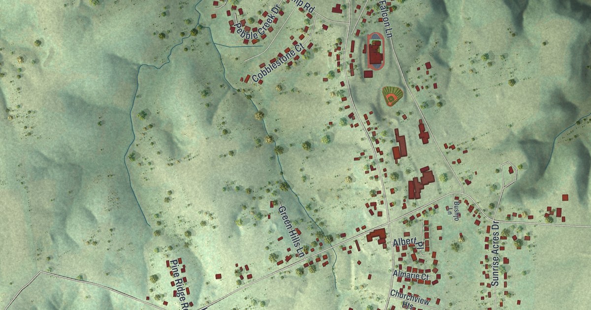
A detailed map of Wardsville, Missouri, showing every building in its true location, the roads by name, and shaded topographical relief.
Read More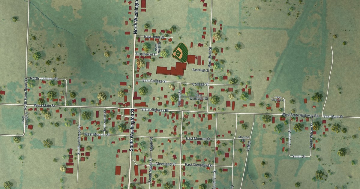
A detailed map of Walnut Grove, Missouri, showing every building in its true location, the roads by name, and shaded topographical relief.
Read More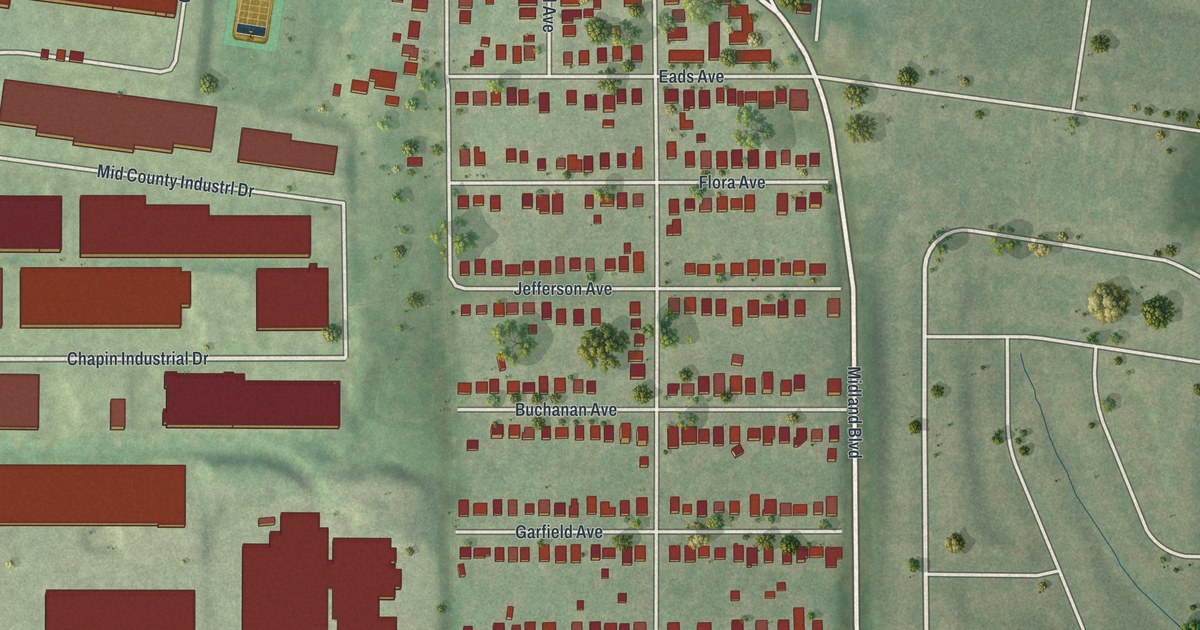
A detailed map of Vinita Park, Missouri, showing every building in its true location, the roads by name, and shaded topographical relief.
Read More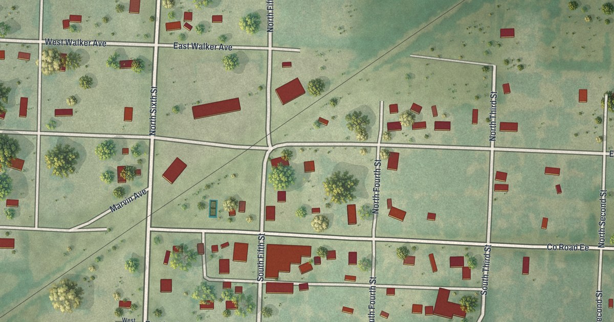
A detailed map of Walker, Missouri, showing every building in its true location, the roads by name, and shaded topographical relief.
Read More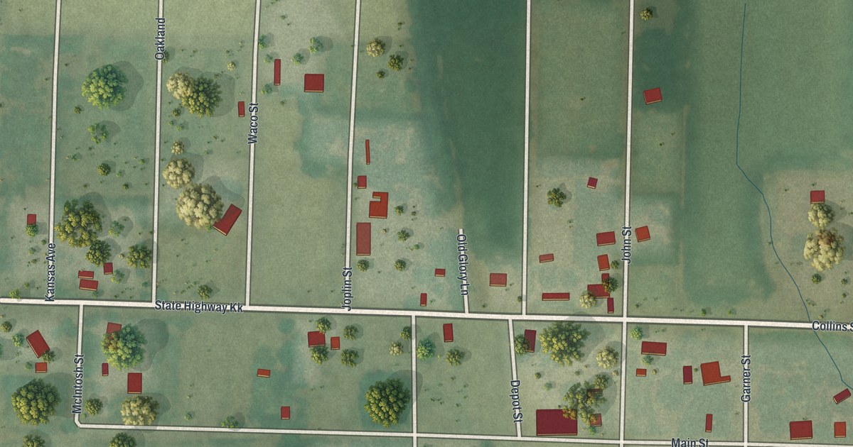
A detailed map of Waco, Missouri, showing every building in its true location, the roads by name, and shaded topographical relief.
Read More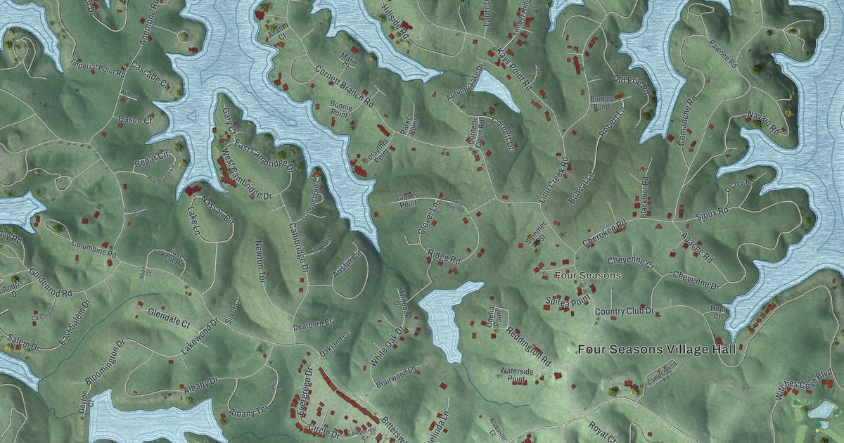
A detailed map of Four Seasons, Missouri, showing every building in its true location, the roads by name, and shaded topographical relief.
Read More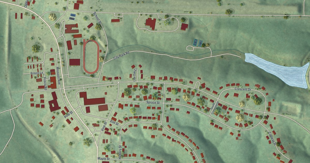
A detailed map of Viburnum, Missouri, showing every building in its true location, the roads by name, and shaded topographical relief.
Read More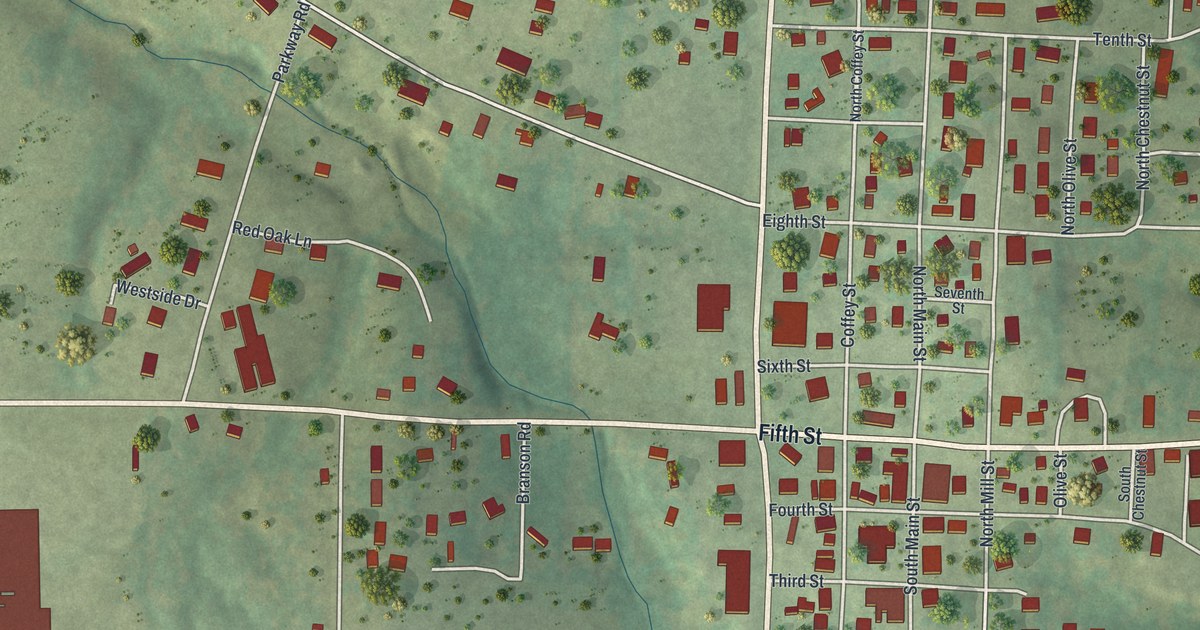
A detailed map of Vienna, Missouri, showing every building in its true location, the roads by name, and shaded topographical relief.
Read More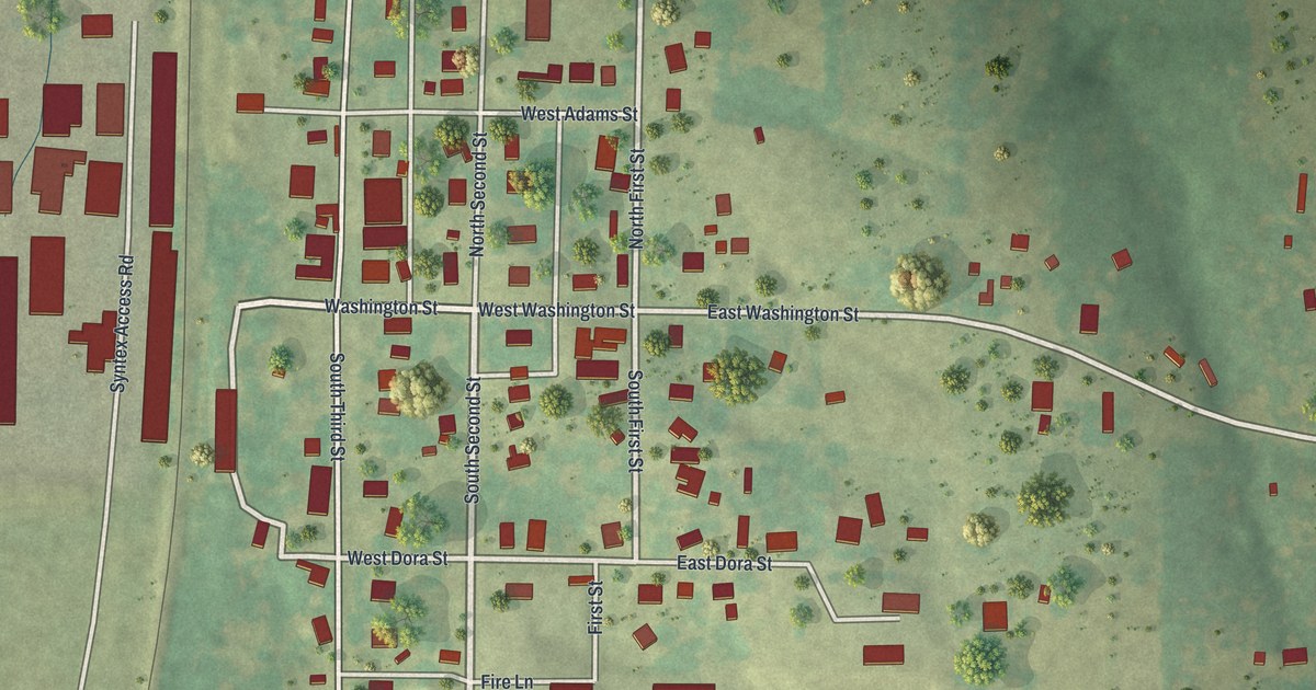
A detailed map of Verona, Missouri, showing every building in its true location, the roads by name, and shaded topographical relief.
Read More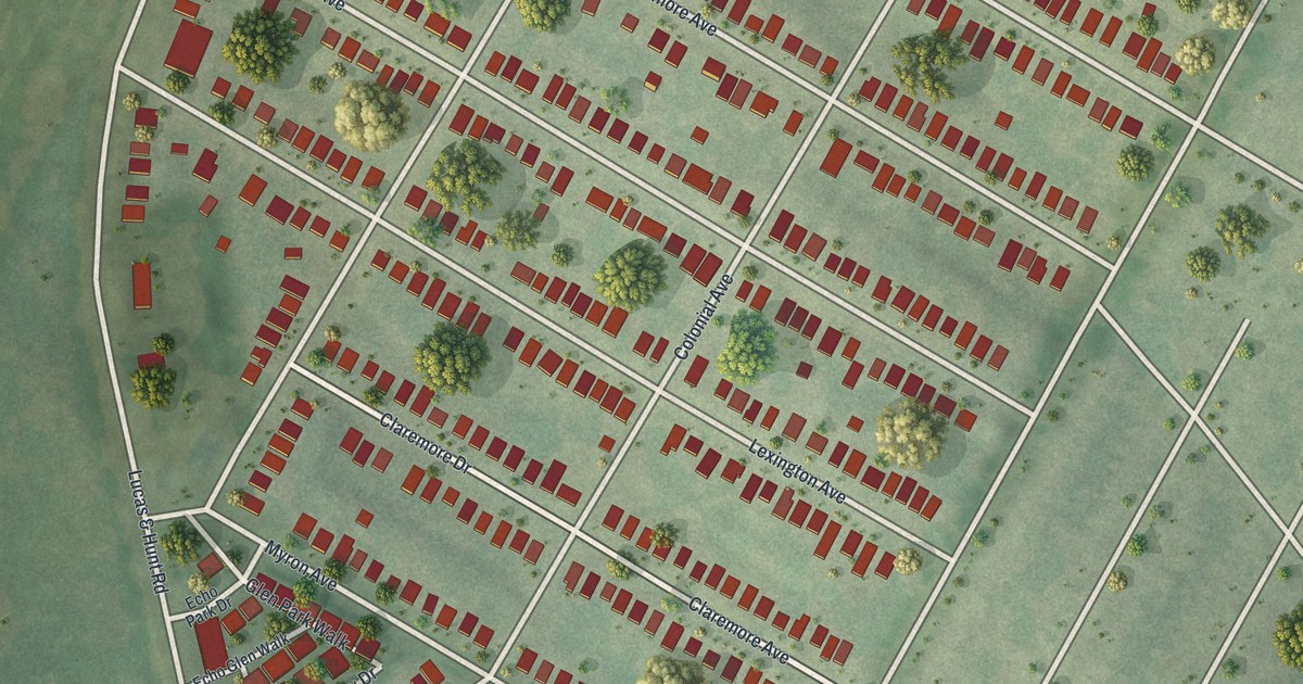
A detailed map of Velda City, Missouri, showing every building in its true location, the roads by name, and shaded topographical relief.
Read More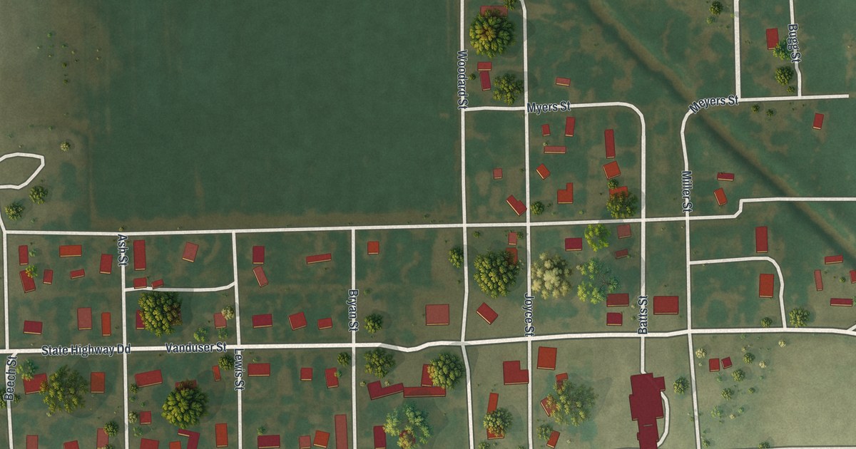
A detailed map of Vanduser, Missouri, showing every building in its true location, the roads by name, and shaded topographical relief.
Read More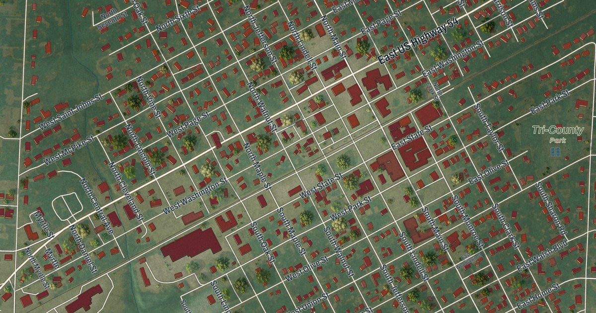
A detailed map of Vandalia, Missouri, showing every building in its true location, the roads by name, and shaded topographical relief.
Read More