Detailed Map of Chesapeake, Missouri
A detailed map of Chesapeake, Missouri, showing every building in its true location, the roads by name, and shaded topographical relief.
Read More
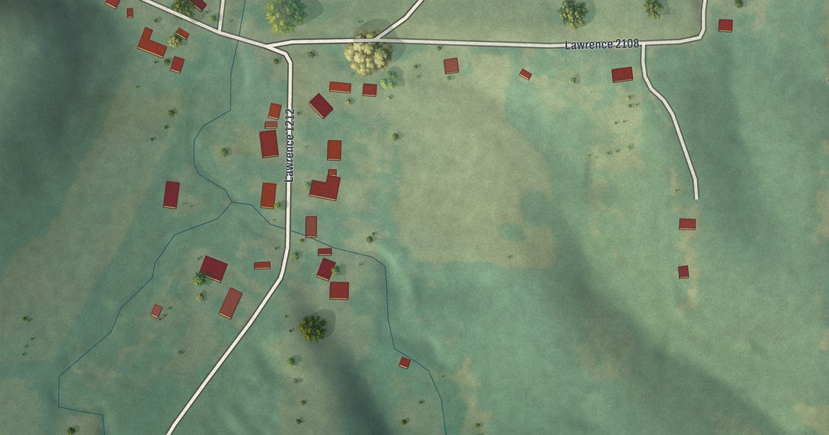
A detailed map of Chesapeake, Missouri, showing every building in its true location, the roads by name, and shaded topographical relief.
Read More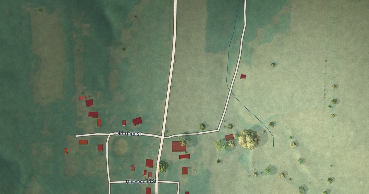
A detailed map of Danville, Missouri, showing every building in its true location, the roads by name, and shaded topographical relief.
Read More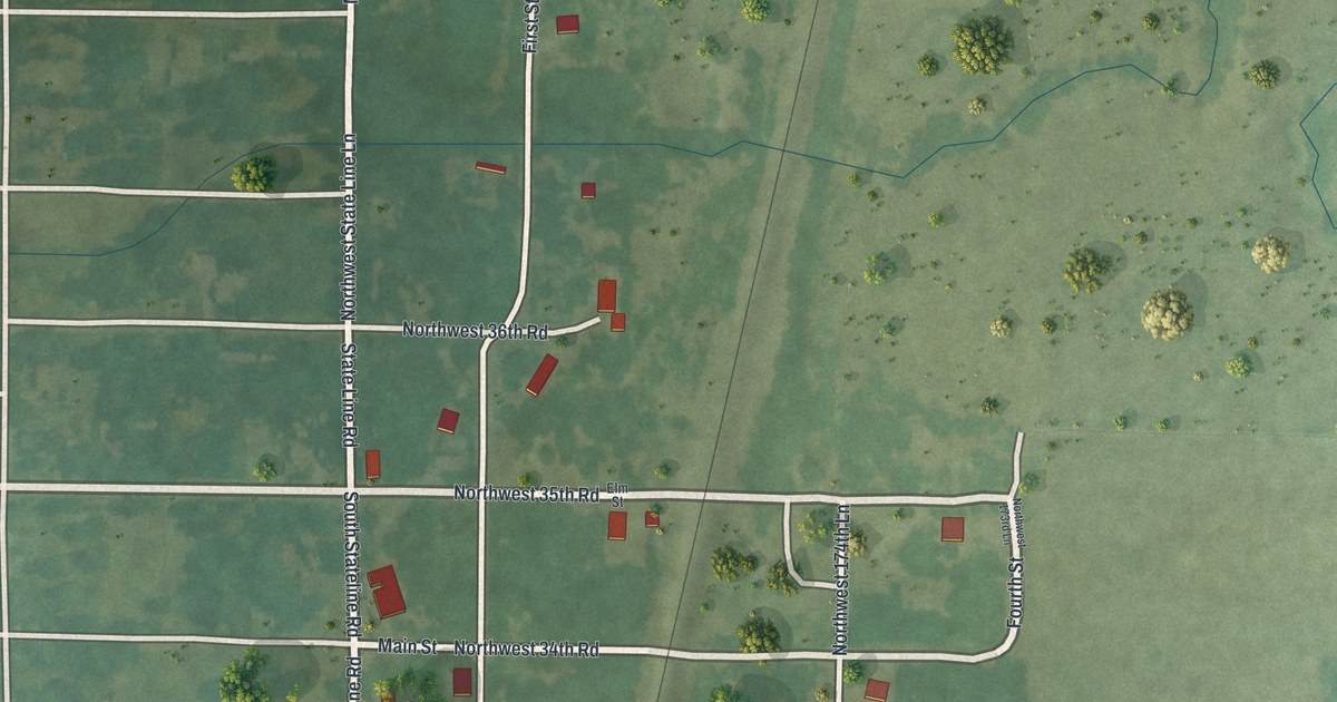
A detailed map of Burgess, Missouri, showing every building in its true location, the roads by name, and shaded topographical relief.
Read More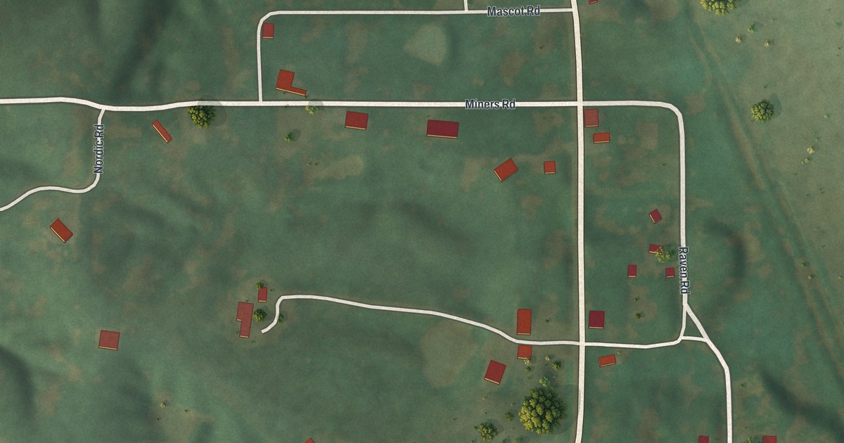
A detailed map of Connelsville, Missouri, showing every building in its true location, the roads by name, and shaded topographical relief.
Read More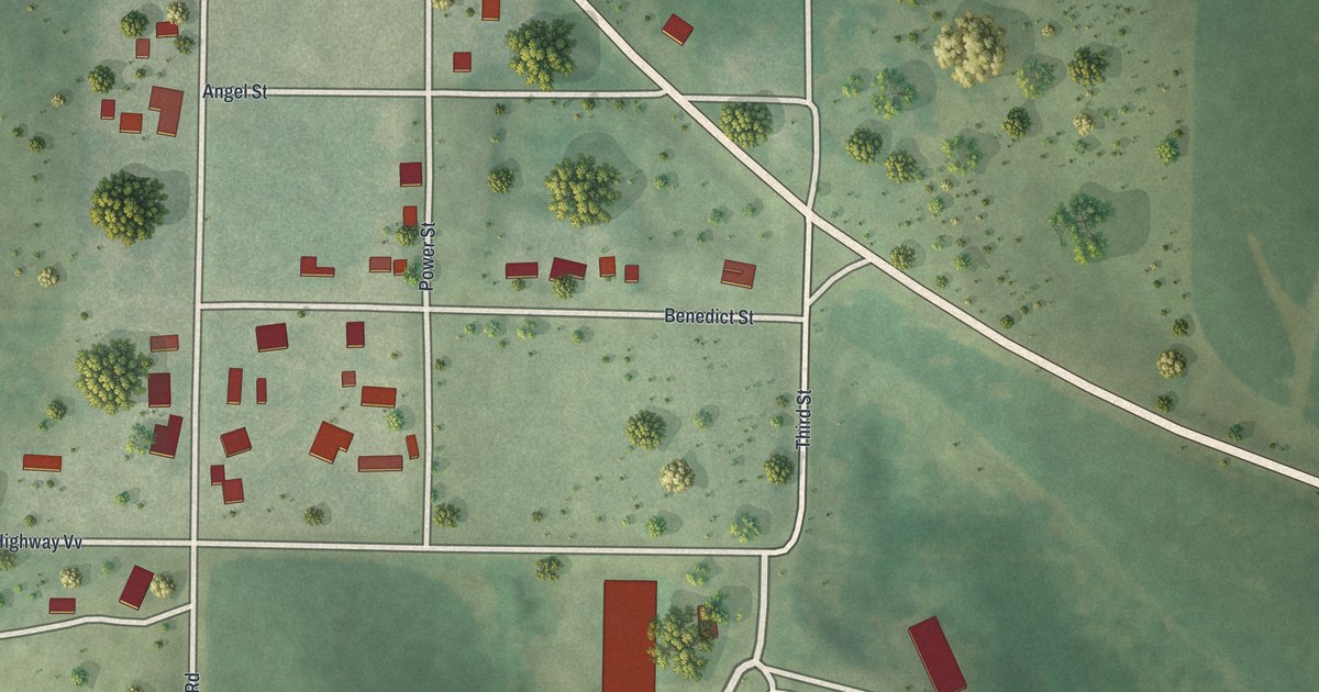
A detailed map of Conception, Missouri, showing every building in its true location, the roads by name, and shaded topographical relief.
Read More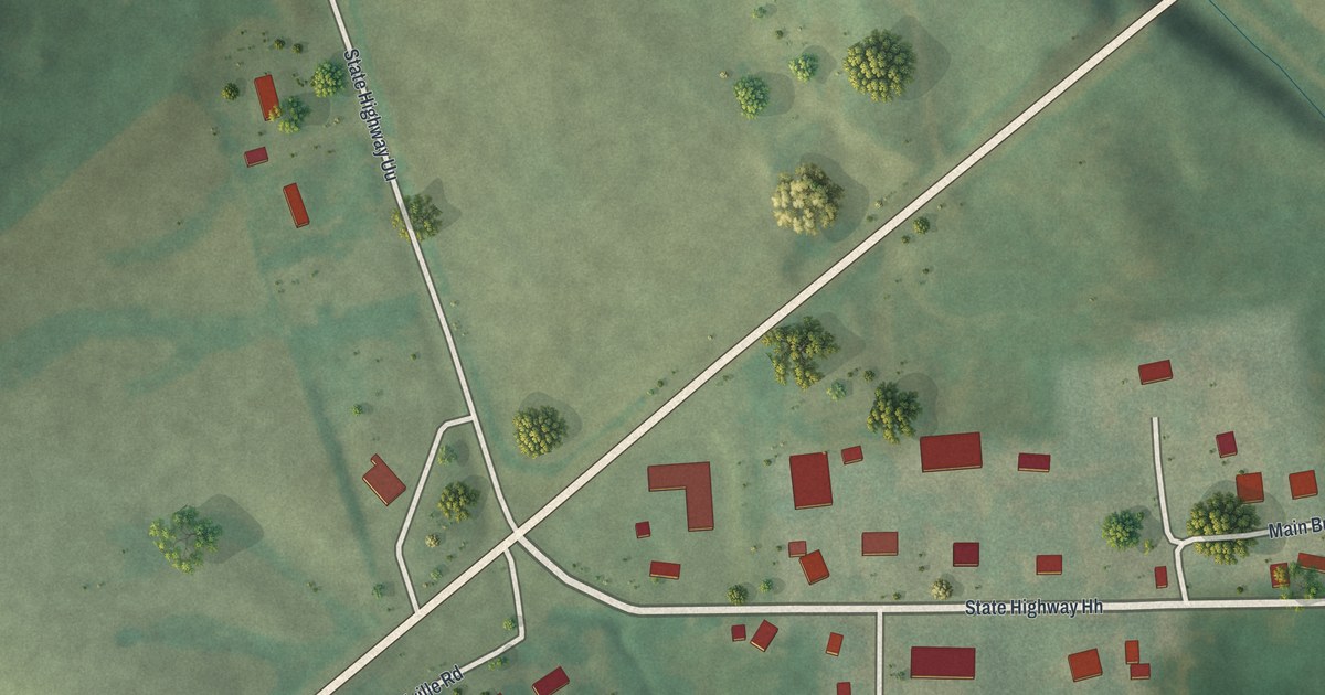
A detailed map of Burfordville, Missouri, showing every building in its true location, the roads by name, and shaded topographical relief.
Read More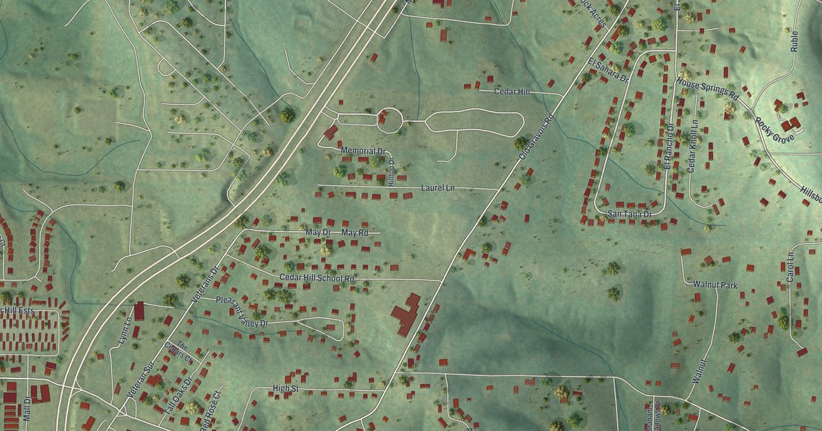
A detailed map of Cedar Hill, Missouri, showing every building in its true location, the roads by name, and shaded topographical relief.
Read More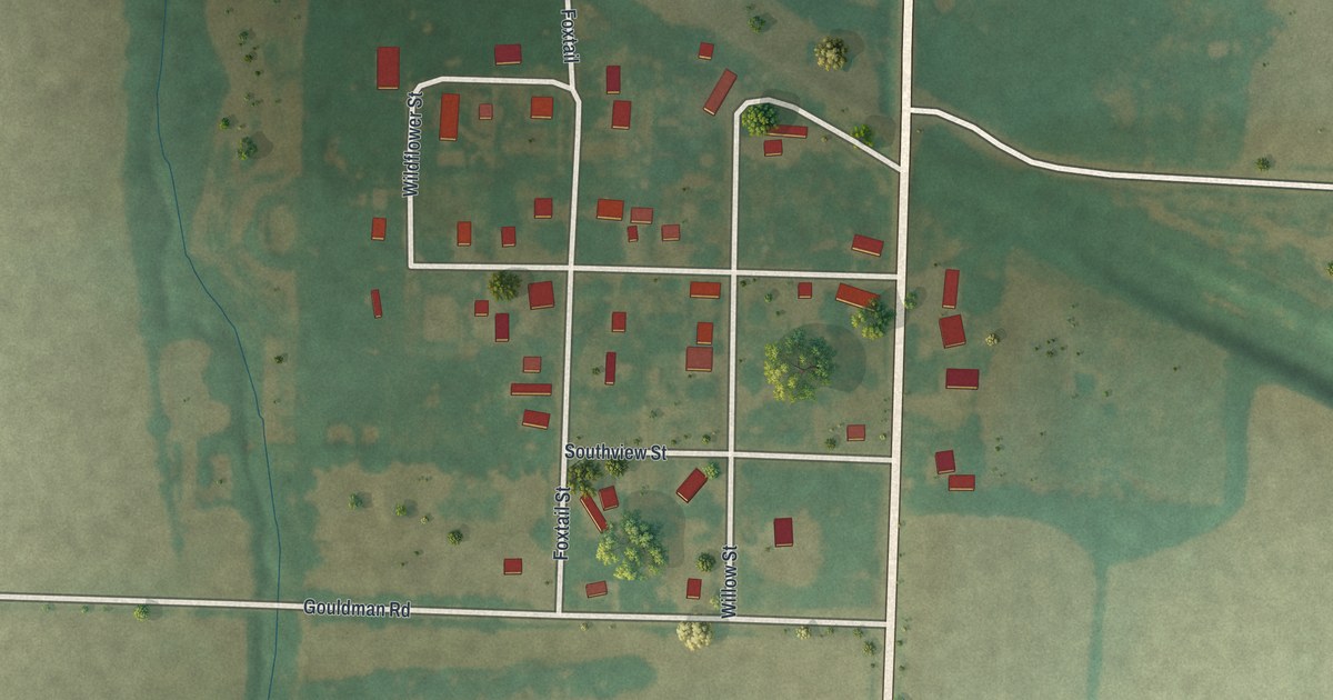
A detailed map of Buell, Missouri, showing every building in its true location, the roads by name, and shaded topographical relief.
Read More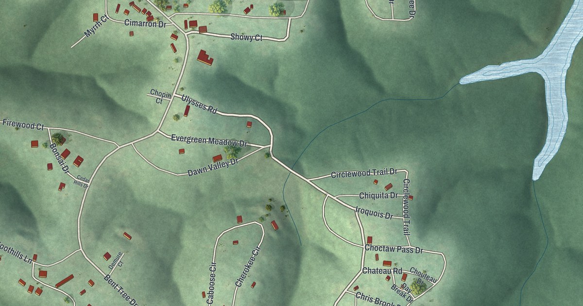
A detailed map of Bent Tree Harbor, Missouri, showing every building in its true location, the roads by name, and shaded topographical relief.
Read More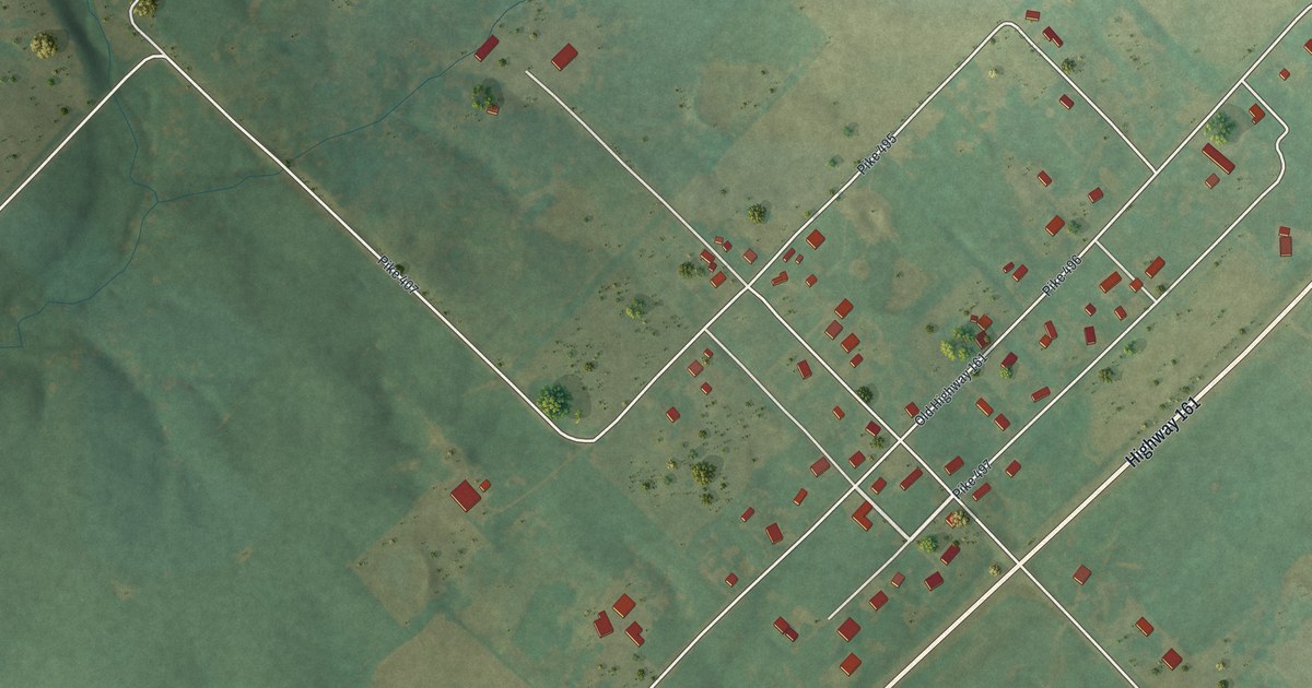
A detailed map of Ashley, Missouri, showing every building in its true location, the roads by name, and shaded topographical relief.
Read More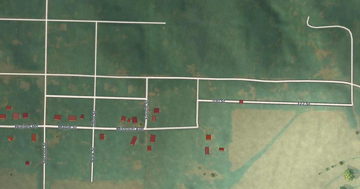
A detailed map of Blanchard, Missouri, showing every building in its true location, the roads by name, and shaded topographical relief.
Read More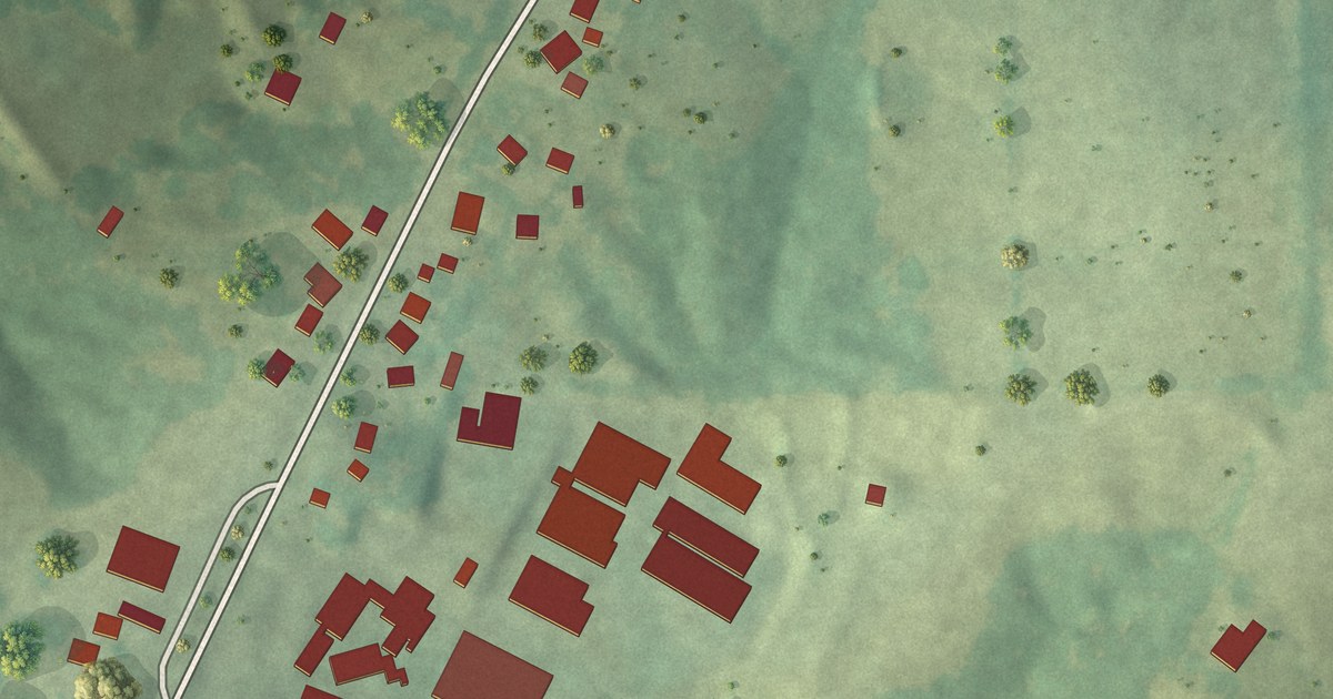
A detailed map of Biehle, Missouri, showing every building in its true location, the roads by name, and shaded topographical relief.
Read More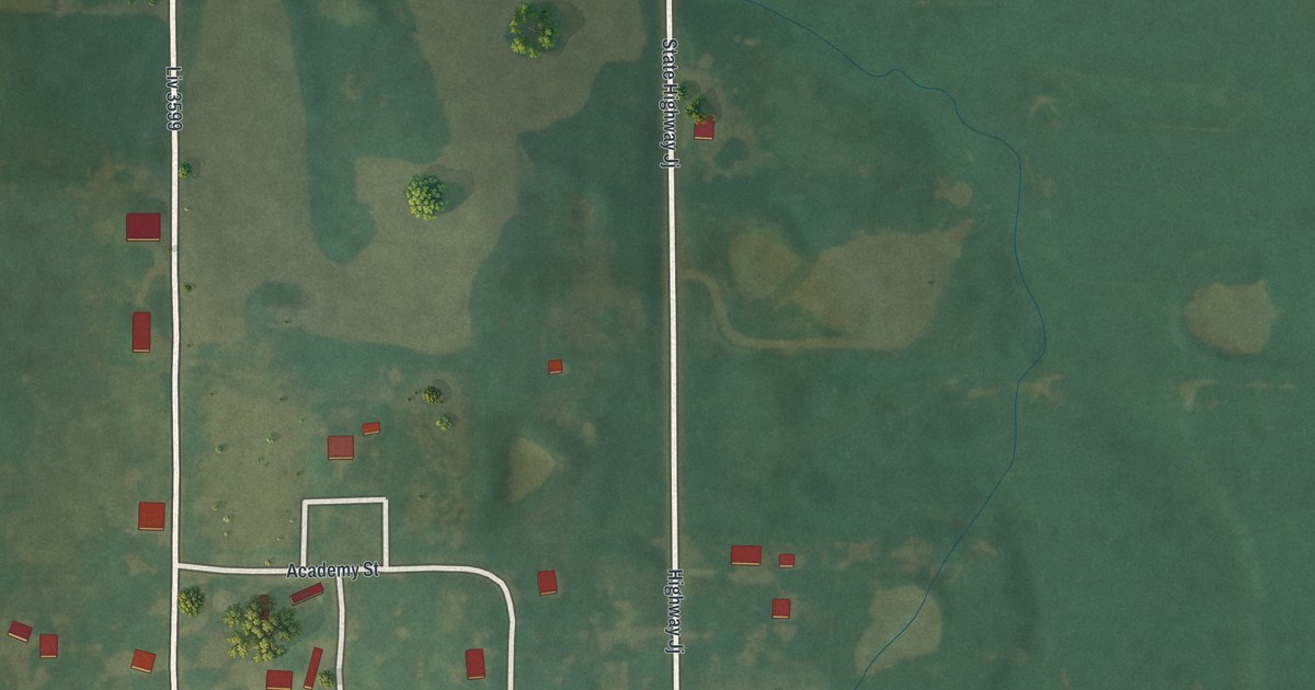
A detailed map of Avalon, Missouri, showing every building in its true location, the roads by name, and shaded topographical relief.
Read More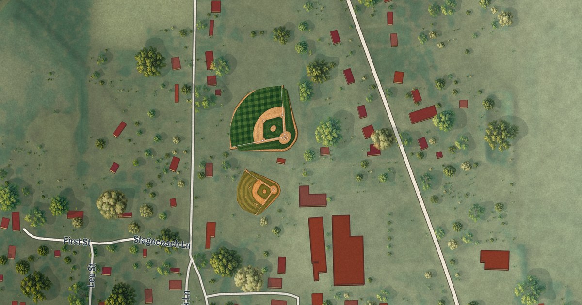
A detailed map of Broseley, Missouri, showing every building in its true location, the roads by name, and shaded topographical relief.
Read More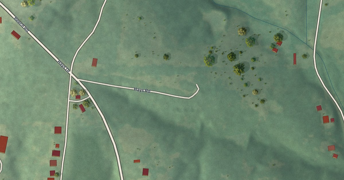
A detailed map of Aurora Springs, Missouri, showing every building in its true location, the roads by name, and shaded topographical relief.
Read More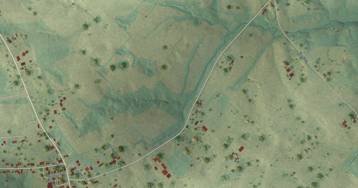
A detailed map of Brewer, Missouri, showing every building in its true location, the roads by name, and shaded topographical relief.
Read More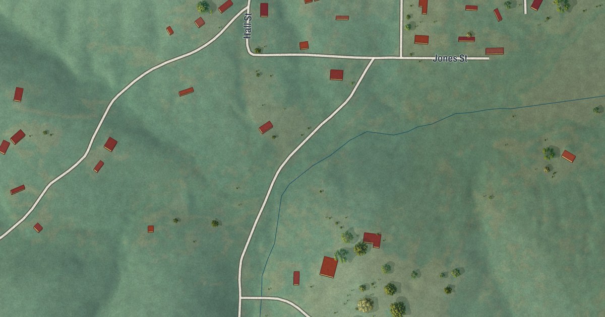
A detailed map of Wortham, Missouri, showing every building in its true location, the roads by name, and shaded topographical relief.
Read More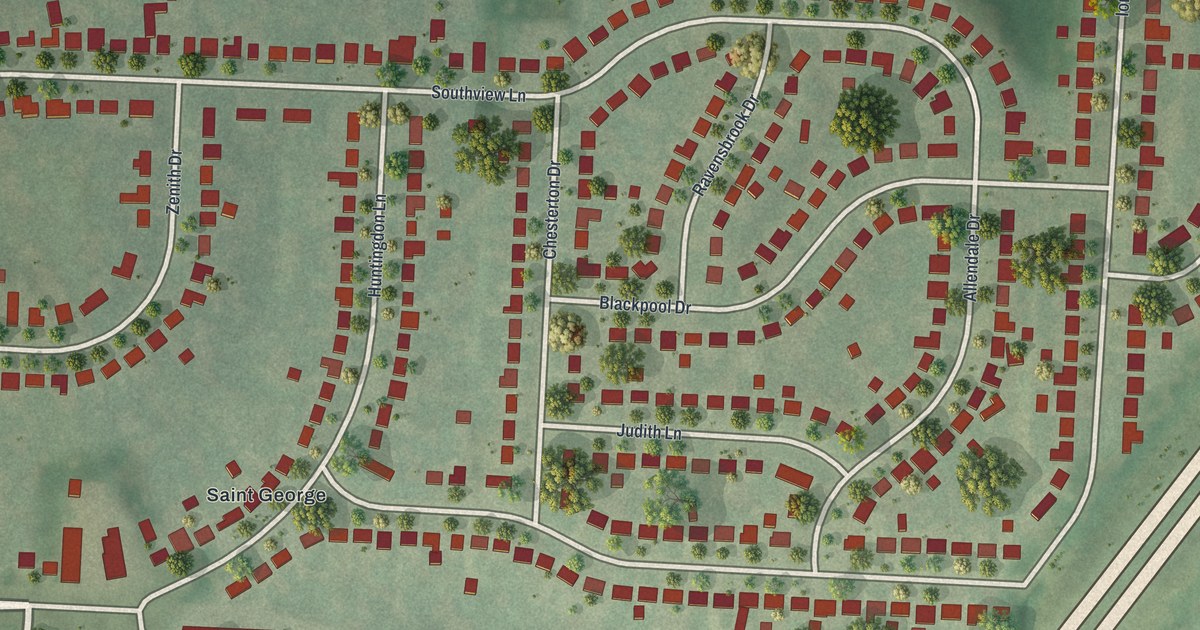
A detailed map of St. George, Missouri, showing every building in its true location, the roads by name, and shaded topographical relief.
Read More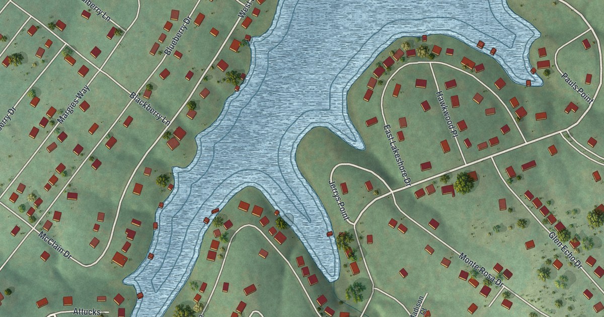
A detailed map of Summer Set, Missouri, showing every building in its true location, the roads by name, and shaded topographical relief.
Read More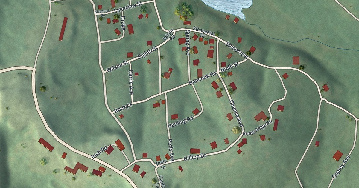
A detailed map of White Branch, Missouri, showing every building in its true location, the roads by name, and shaded topographical relief.
Read More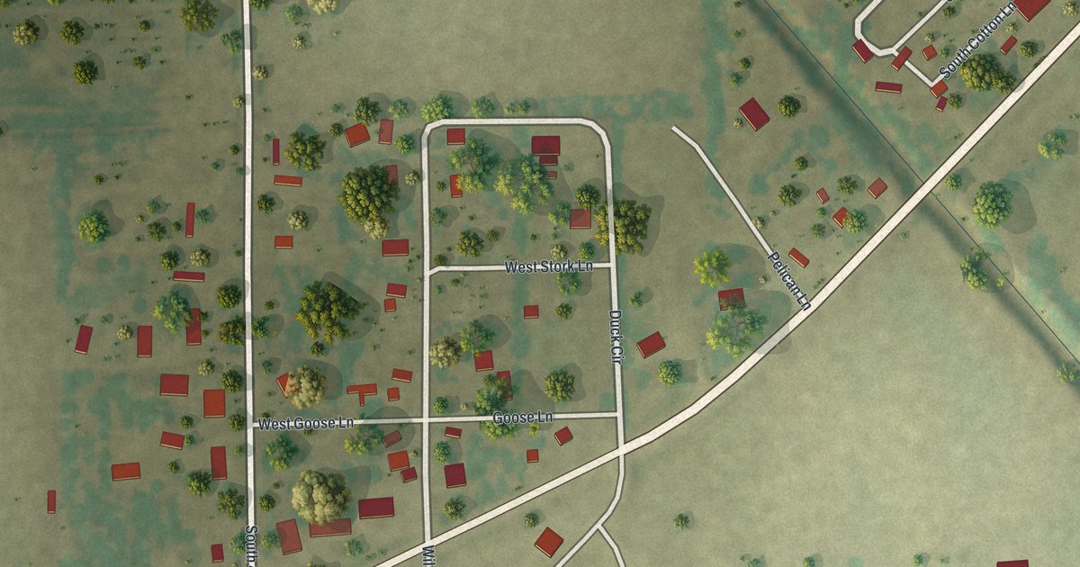
A detailed map of Whiting, Missouri, showing every building in its true location, the roads by name, and shaded topographical relief.
Read More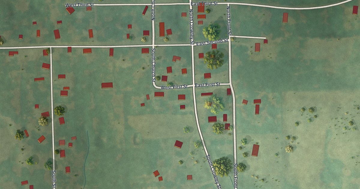
A detailed map of Rayville, Missouri, showing every building in its true location, the roads by name, and shaded topographical relief.
Read More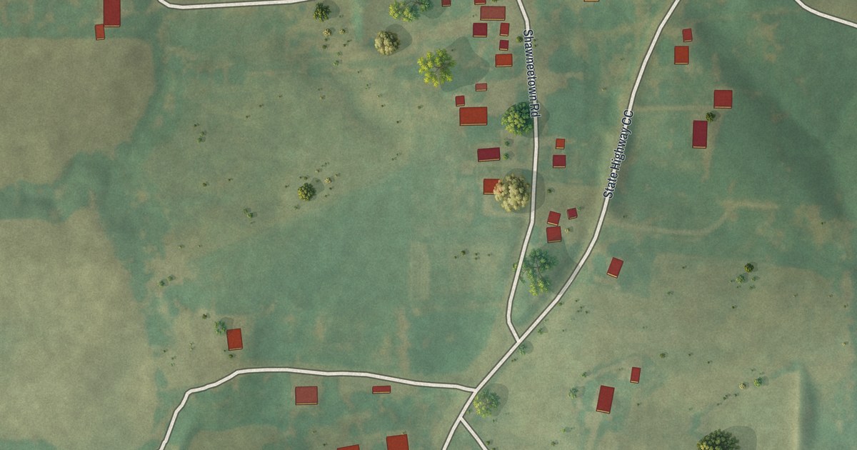
A detailed map of Shawneetown, Missouri, showing every building in its true location, the roads by name, and shaded topographical relief.
Read More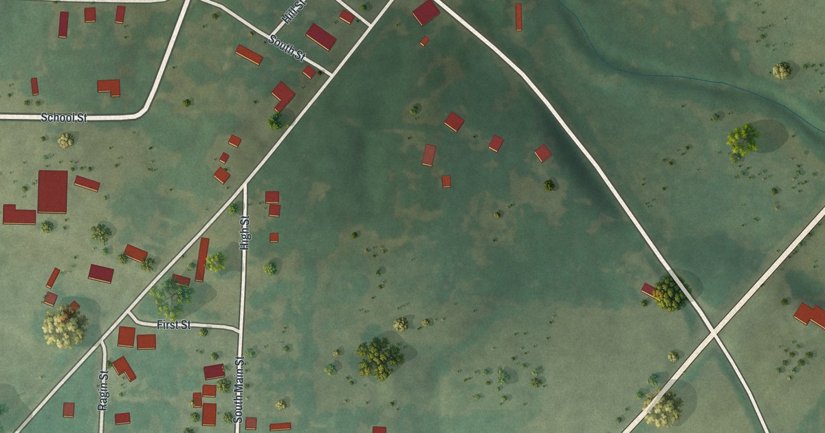
A detailed map of Rocky Comfort, Missouri, showing every building in its true location, the roads by name, and shaded topographical relief.
Read More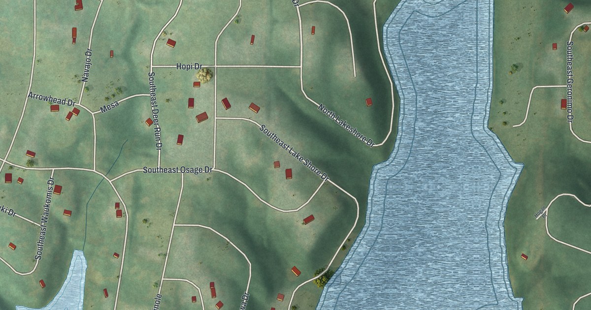
A detailed map of Lake Arrowhead, Missouri, showing every building in its true location, the roads by name, and shaded topographical relief.
Read More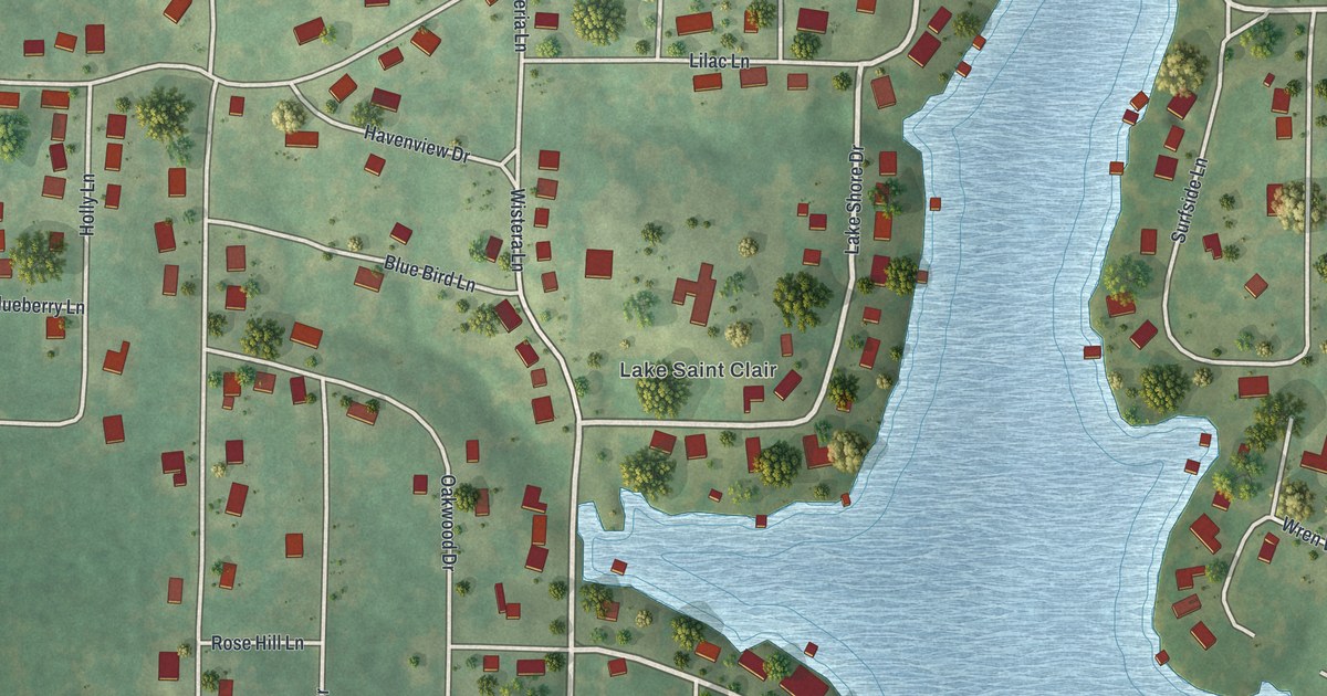
A detailed map of Lake St. Clair, Missouri, showing every building in its true location, the roads by name, and shaded topographical relief.
Read More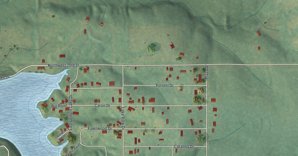
A detailed map of Leisure Lake, Missouri, showing every building in its true location, the roads by name, and shaded topographical relief.
Read More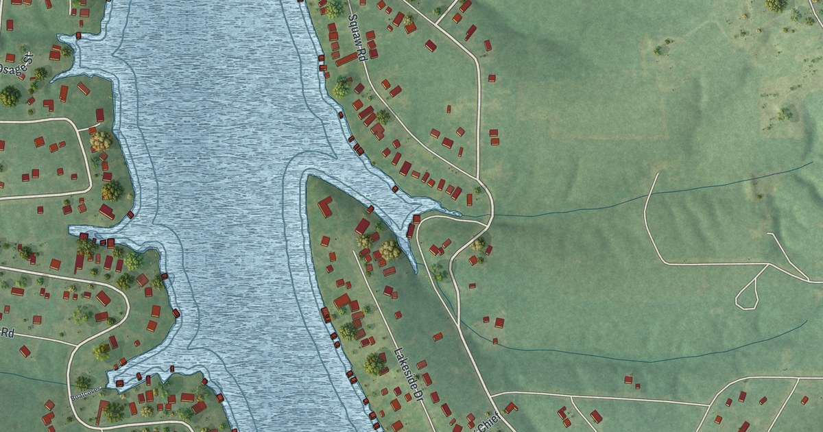
A detailed map of Indian Lake, Missouri, showing every building in its true location, the roads by name, and shaded topographical relief.
Read More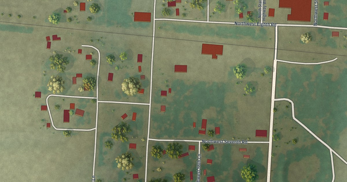
A detailed map of Iantha, Missouri, showing every building in its true location, the roads by name, and shaded topographical relief.
Read More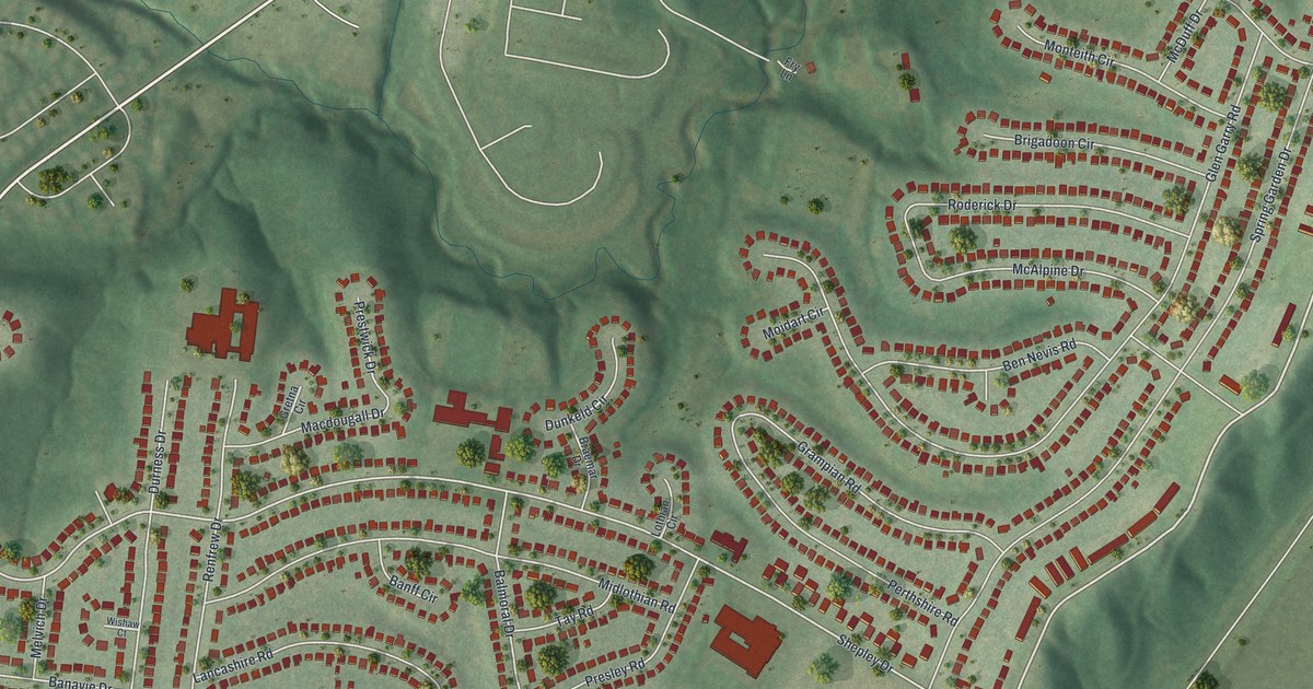
A detailed map of Glasgow Village, Missouri, showing every building in its true location, the roads by name, and shaded topographical relief.
Read More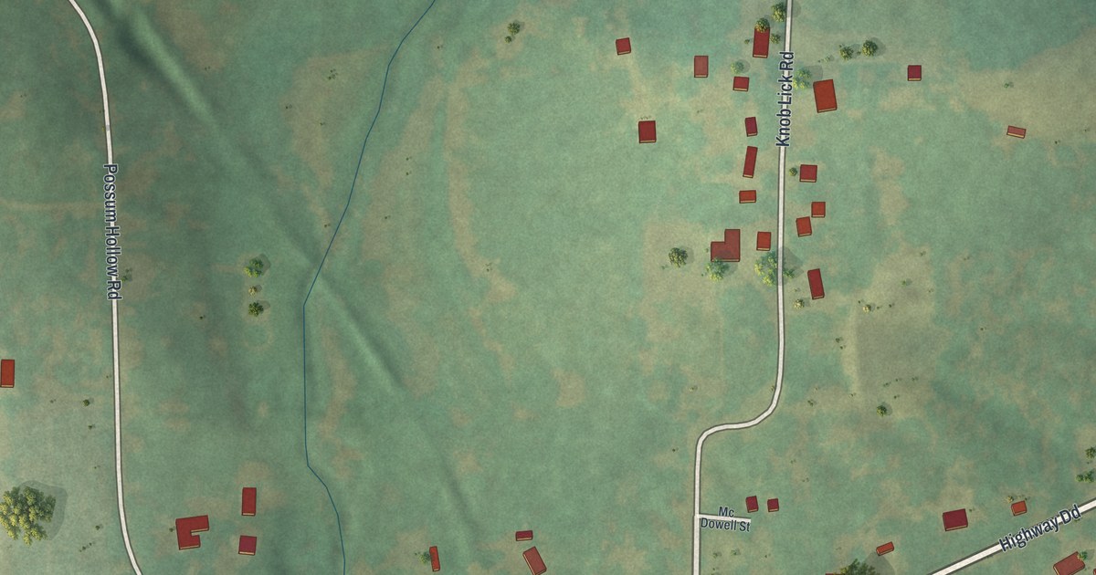
A detailed map of Knob Lick, Missouri, showing every building in its true location, the roads by name, and shaded topographical relief.
Read More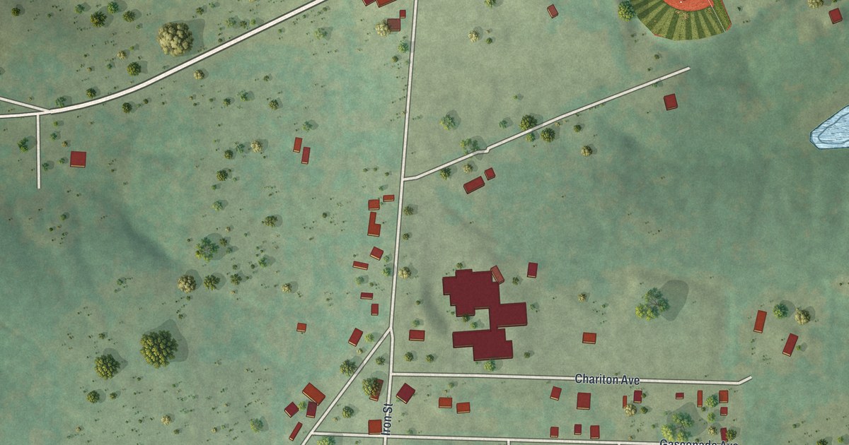
A detailed map of Frankclay, Missouri, showing every building in its true location, the roads by name, and shaded topographical relief.
Read More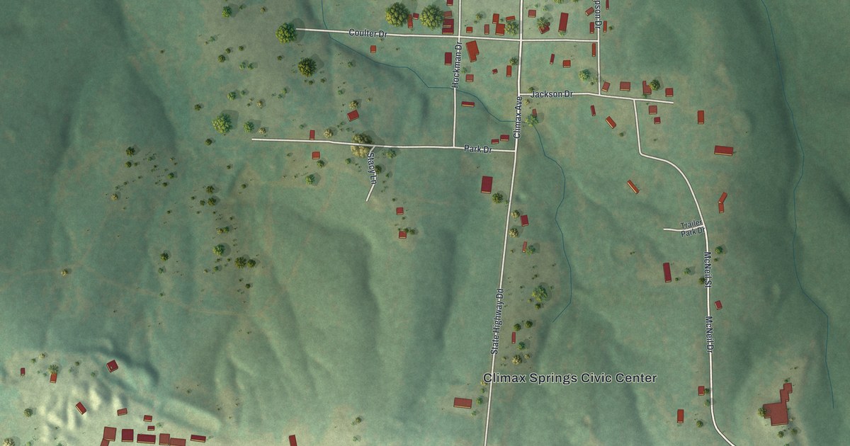
A detailed map of Climax Springs, Missouri, showing every building in its true location, the roads by name, and shaded topographical relief.
Read More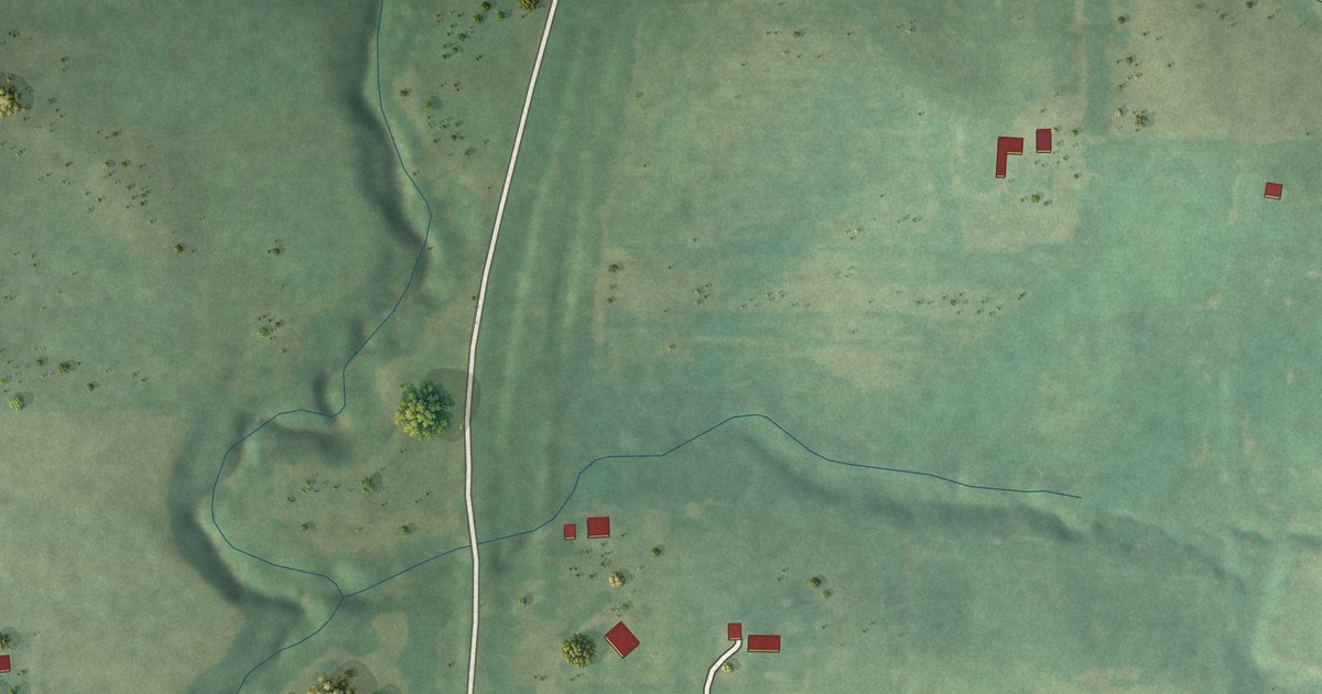
A detailed map of Faucett, Missouri, showing every building in its true location, the roads by name, and shaded topographical relief.
Read More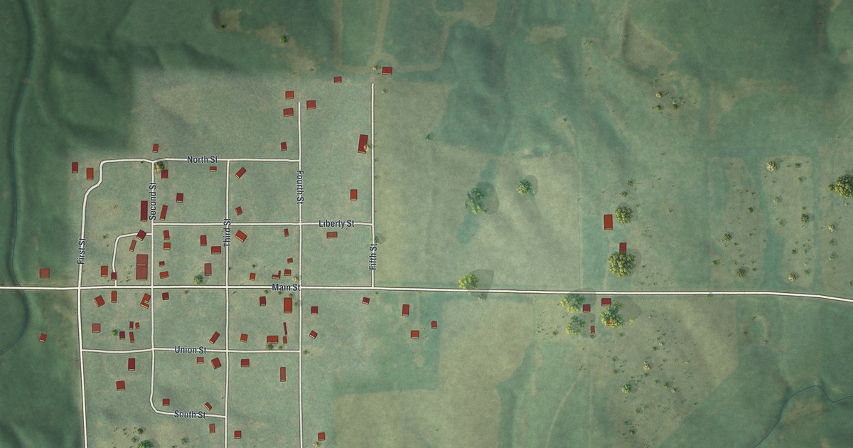
A detailed map of Dawn, Missouri, showing every building in its true location, the roads by name, and shaded topographical relief.
Read More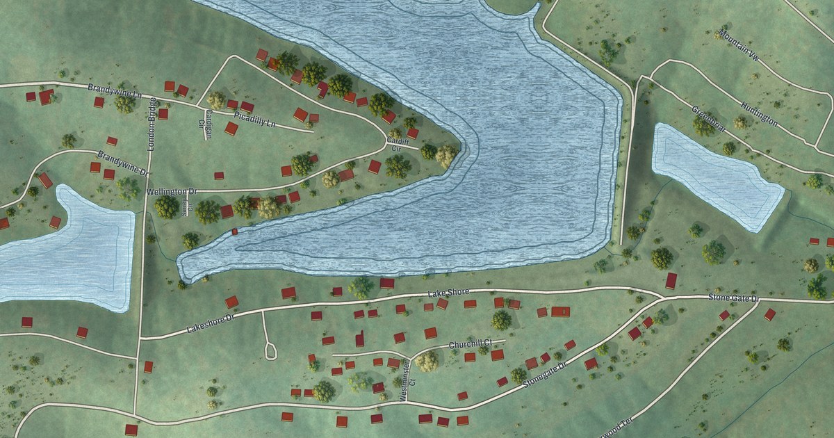
A detailed map of Briarwood Estates, Missouri, showing every building in its true location, the roads by name, and shaded topographical relief.
Read More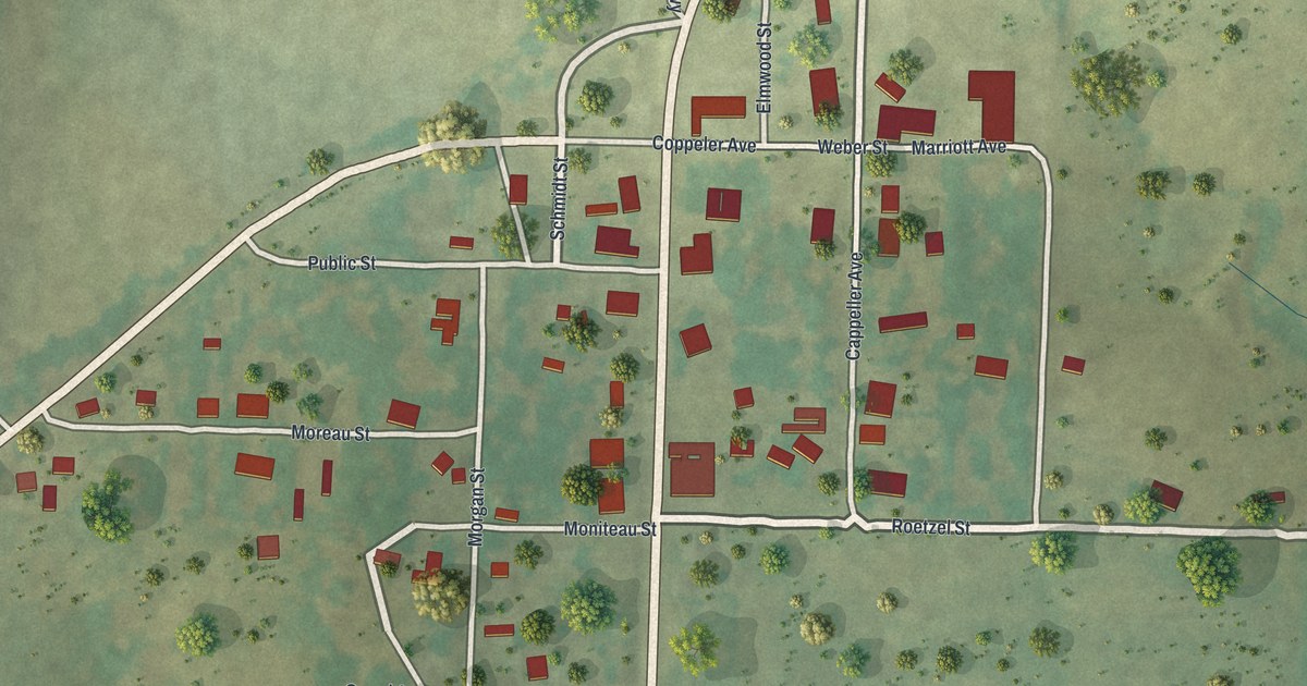
A detailed map of Fortuna, Missouri, showing every building in its true location, the roads by name, and shaded topographical relief.
Read More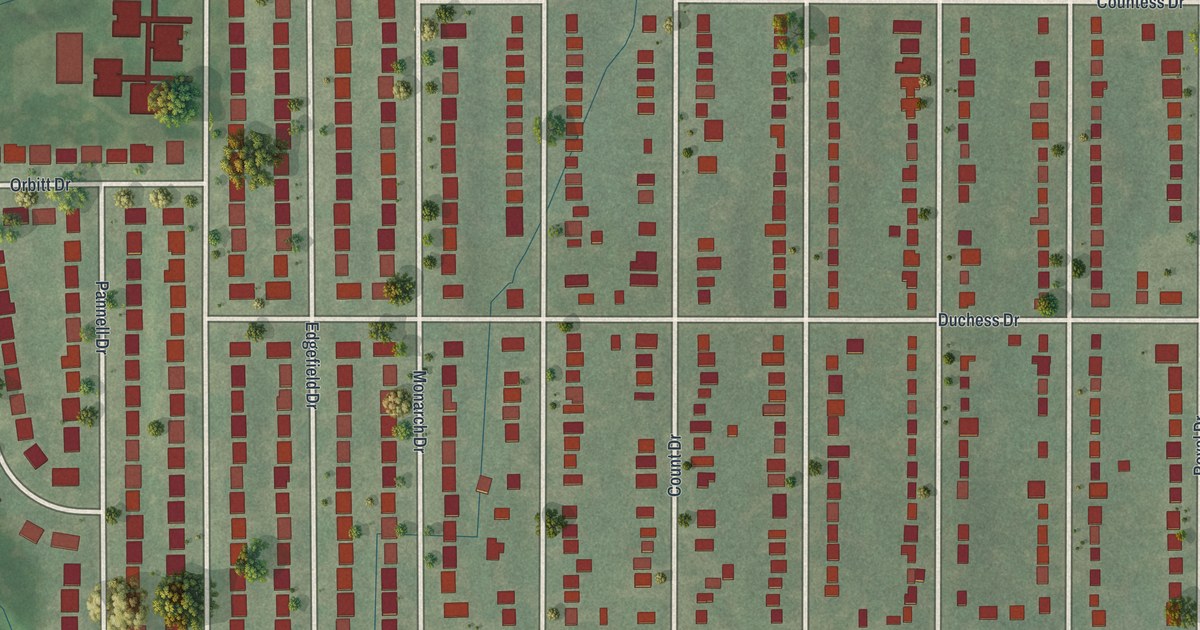
A detailed map of Castle Point, Missouri, showing every building in its true location, the roads by name, and shaded topographical relief.
Read More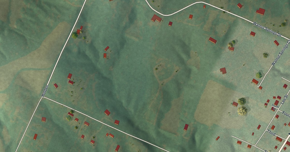
A detailed map of Defiance, Missouri, showing every building in its true location, the roads by name, and shaded topographical relief.
Read More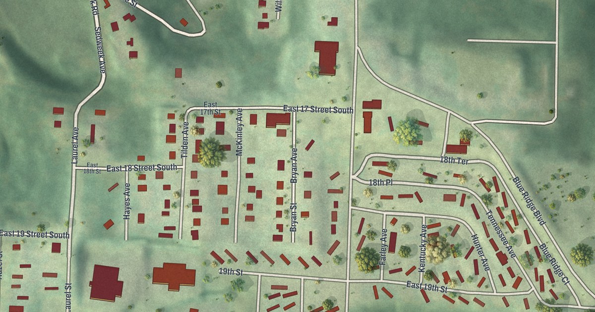
A detailed map of Blue Summit, Missouri, showing every building in its true location, the roads by name, and shaded topographical relief.
Read More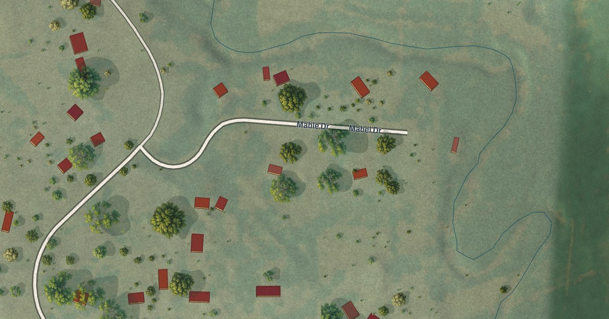
A detailed map of Riverview Estates, Missouri, showing every building in its true location, the roads by name, and shaded topographical relief.
Read More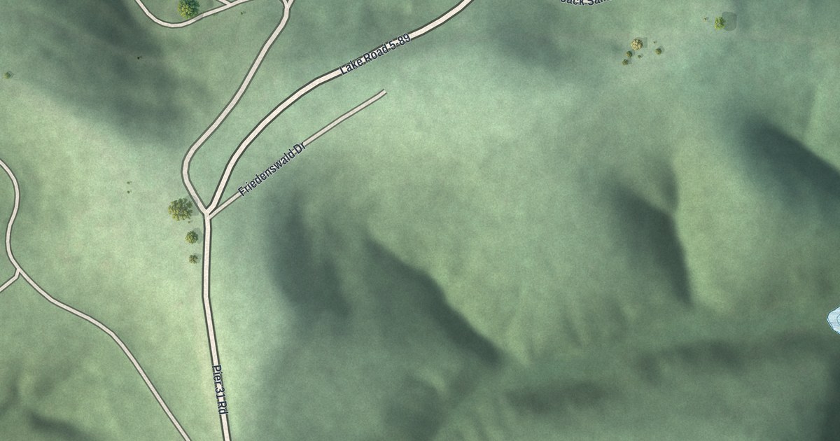
A detailed map of Friedenswald, Missouri, showing every building in its true location, the roads by name, and shaded topographical relief.
Read More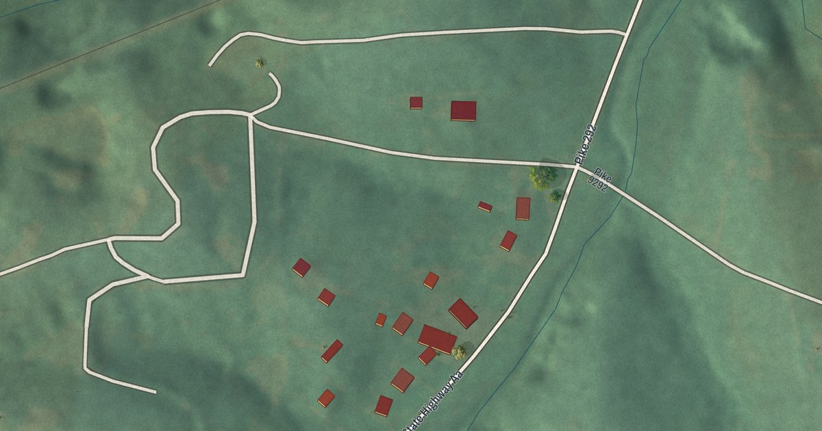
A detailed map of Tarrants, Missouri, showing every building in its true location, the roads by name, and shaded topographical relief.
Read More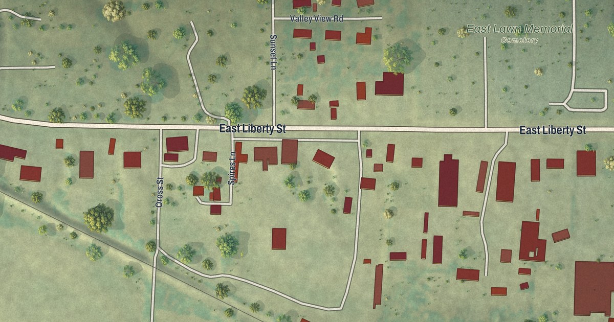
A detailed map of Vandiver, Missouri, showing every building in its true location, the roads by name, and shaded topographical relief.
Read More
A detailed map of Grand Falls Plaza, Missouri, showing every building in its true location, the roads by name, and shaded topographical relief.
Read More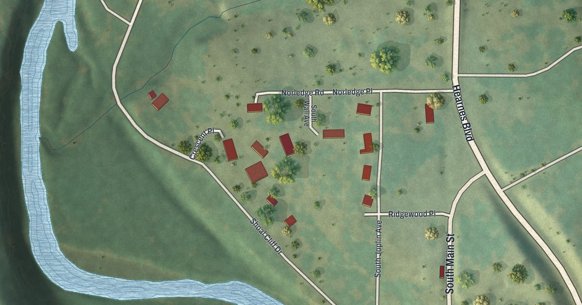
A detailed map of Cliff Village, Missouri, showing every building in its true location, the roads by name, and shaded topographical relief.
Read More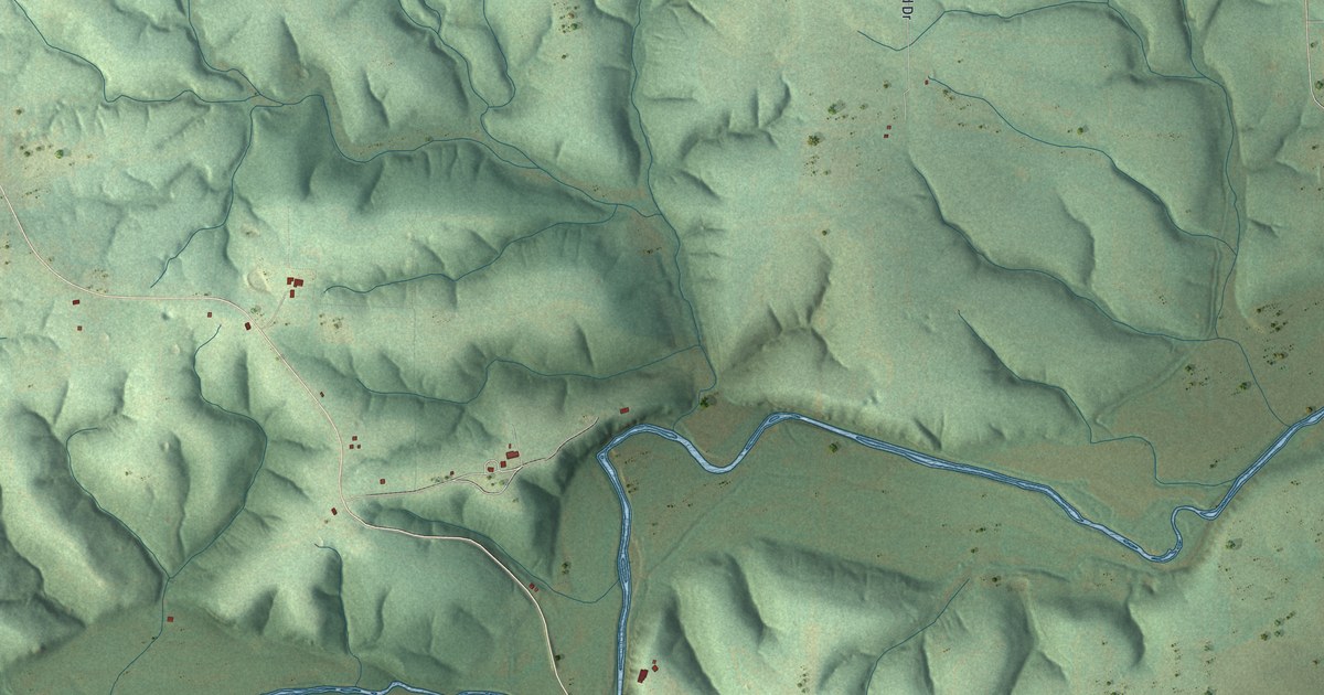
A detailed map of Evergreen, Missouri, showing every building in its true location, the roads by name, and shaded topographical relief.
Read More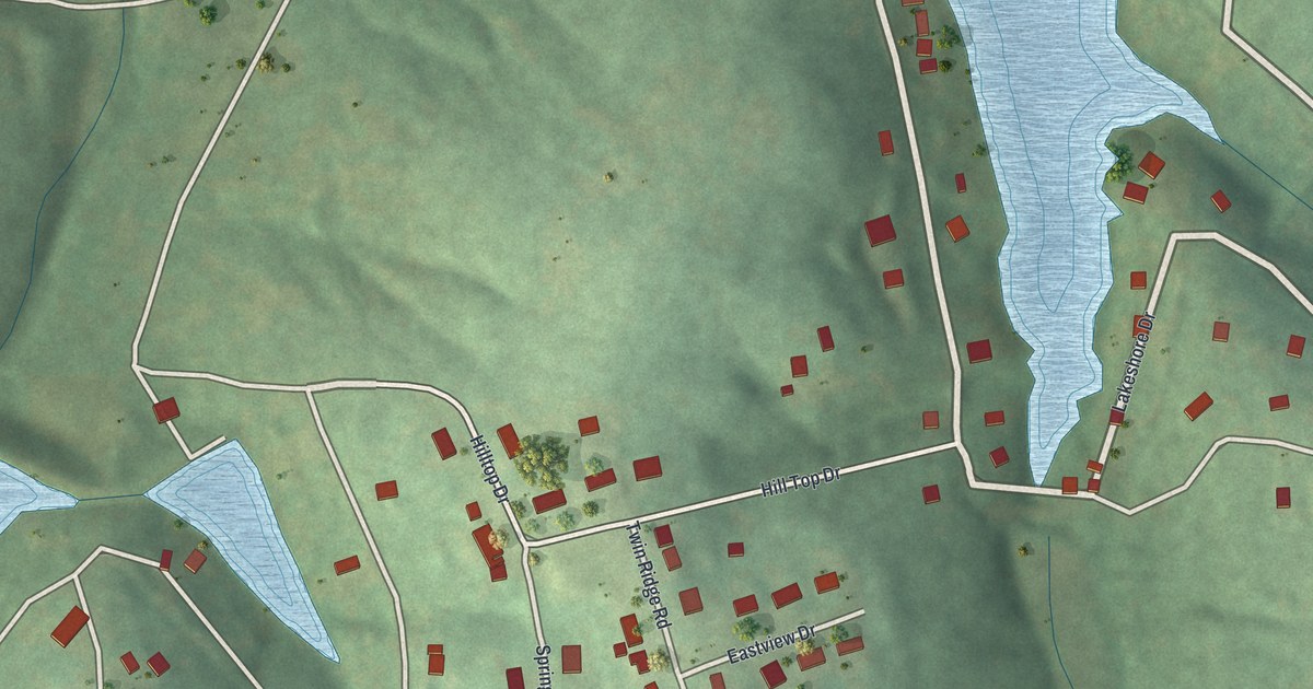
A detailed map of Cedar Hill Lakes, Missouri, showing every building in its true location, the roads by name, and shaded topographical relief.
Read More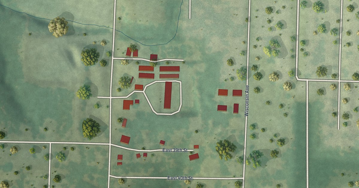
A detailed map of Dennis Acres, Missouri, showing every building in its true location, the roads by name, and shaded topographical relief.
Read More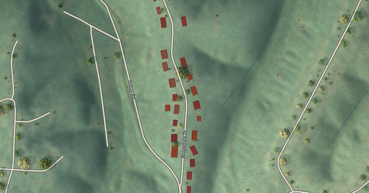
A detailed map of Parkdale, Missouri, showing every building in its true location, the roads by name, and shaded topographical relief.
Read More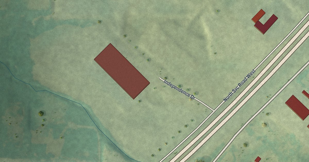
A detailed map of West Sullivan, Missouri, showing every building in its true location, the roads by name, and shaded topographical relief.
Read More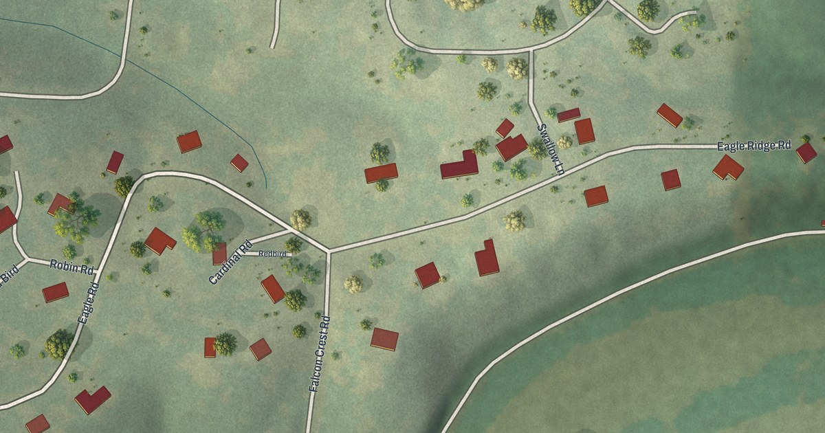
A detailed map of Shoal Creek Estates, Missouri, showing every building in its true location, the roads by name, and shaded topographical relief.
Read More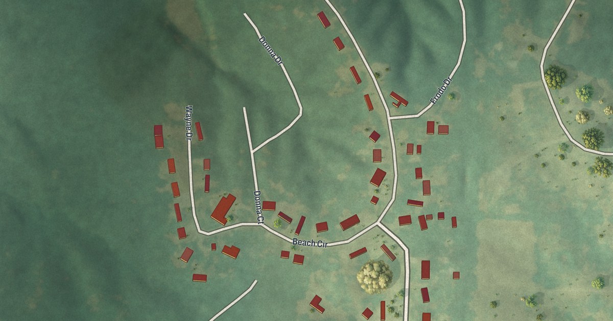
A detailed map of Fountain N’ Lakes, Missouri, showing every building in its true location, the roads by name, and shaded topographical relief.
Read More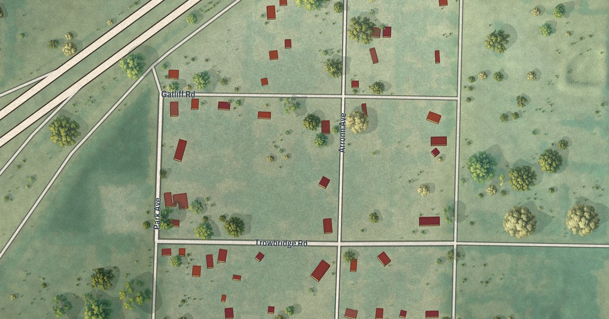
A detailed map of Brooklyn Heights, Missouri, showing every building in its true location, the roads by name, and shaded topographical relief.
Read More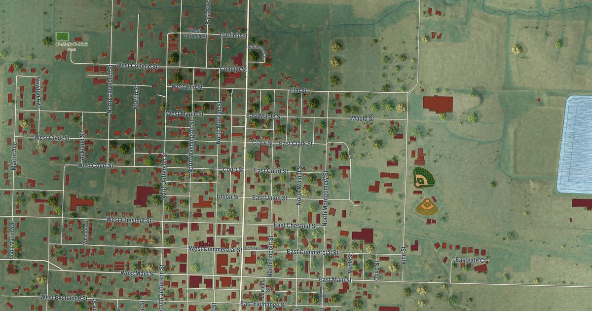
A detailed map of Kahoka, Missouri, showing every building in its true location, the roads by name, and shaded topographical relief.
Read More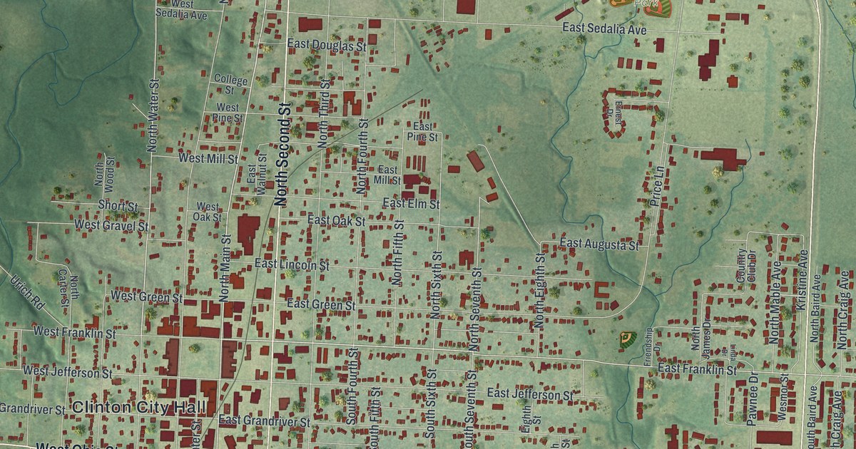
A detailed map of Clinton, Missouri, showing every building in its true location, the roads by name, and shaded topographical relief.
Read More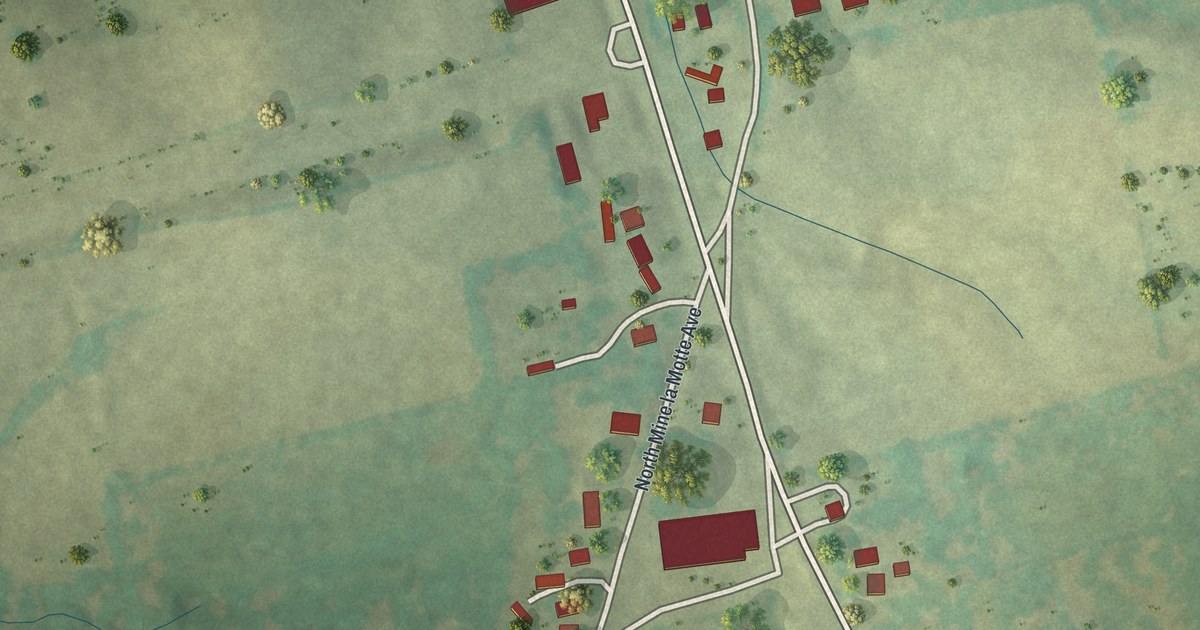
A detailed map of Junction City, Missouri, showing every building in its true location, the roads by name, and shaded topographical relief.
Read More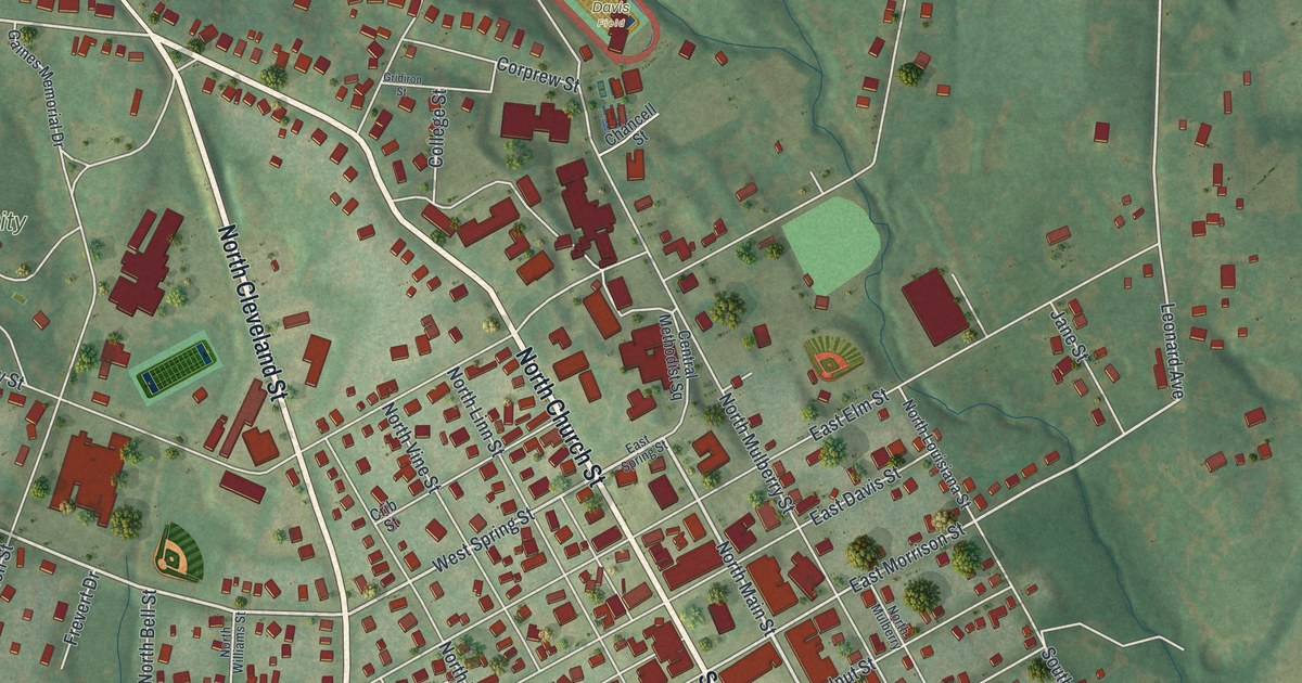
A detailed map of Fayette, Missouri, showing every building in its true location, the roads by name, and shaded topographical relief.
Read More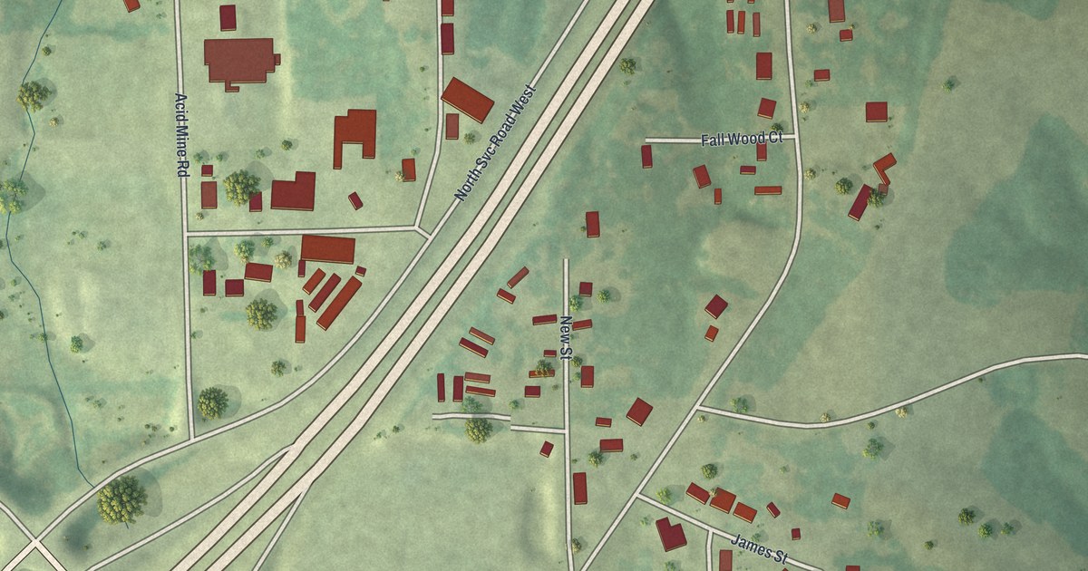
A detailed map of Oak Grove Village, Missouri, showing every building in its true location, the roads by name, and shaded topographical relief.
Read More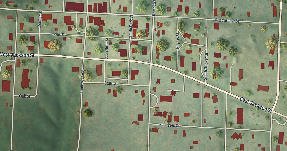
A detailed map of Keytesville, Missouri, showing every building in its true location, the roads by name, and shaded topographical relief.
Read More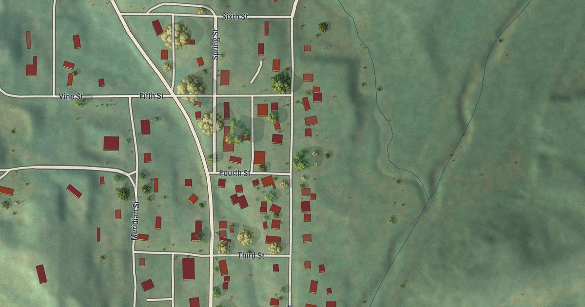
A detailed map of Amazonia, Missouri, showing every building in its true location, the roads by name, and shaded topographical relief.
Read More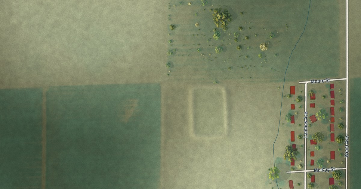
A detailed map of Penermon, Missouri, showing every building in its true location, the roads by name, and shaded topographical relief.
Read More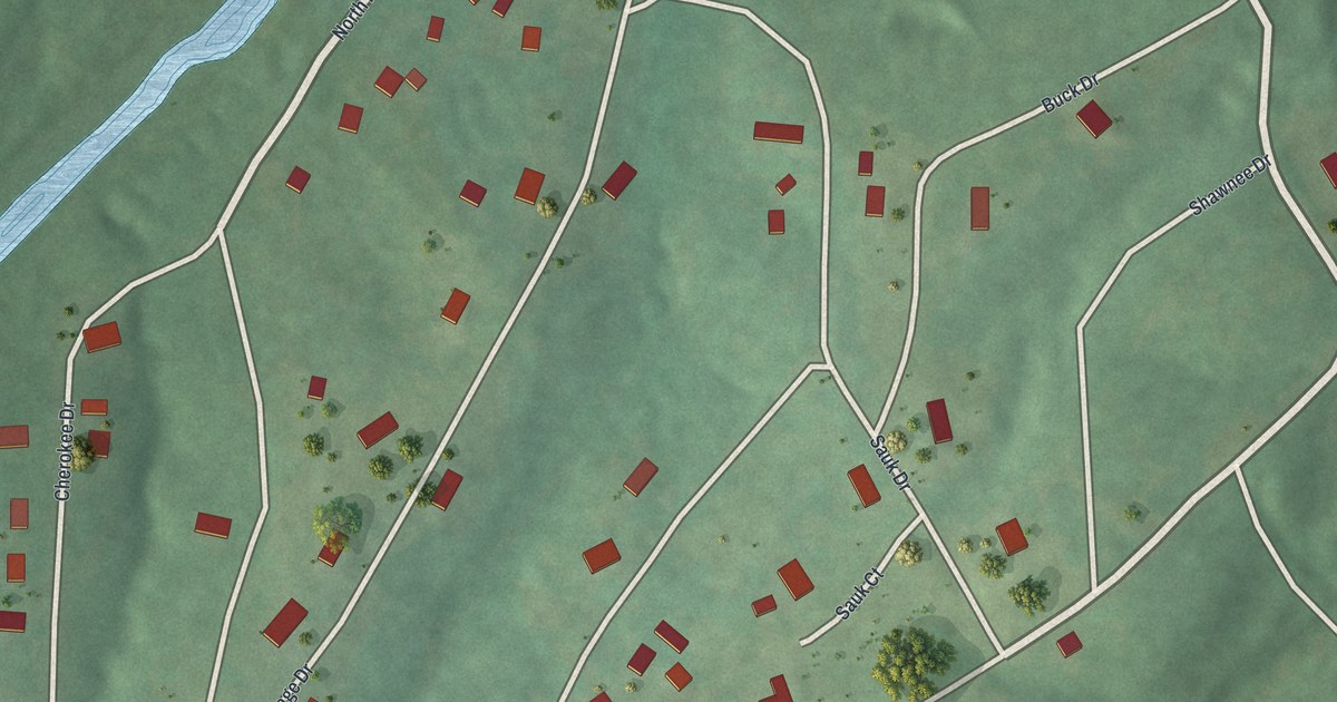
A detailed map of Miramiguoa Park, Missouri, showing every building in its true location, the roads by name, and shaded topographical relief.
Read More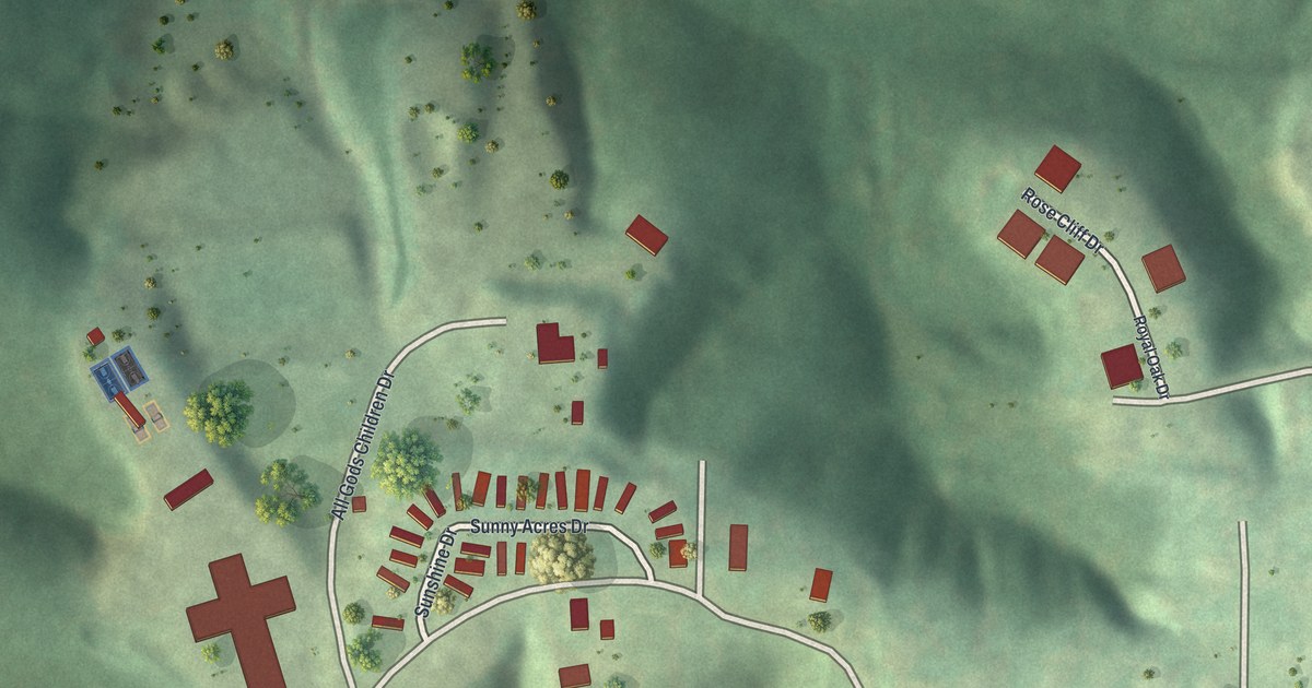
A detailed map of Peaceful Village, Missouri, showing every building in its true location, the roads by name, and shaded topographical relief.
Read More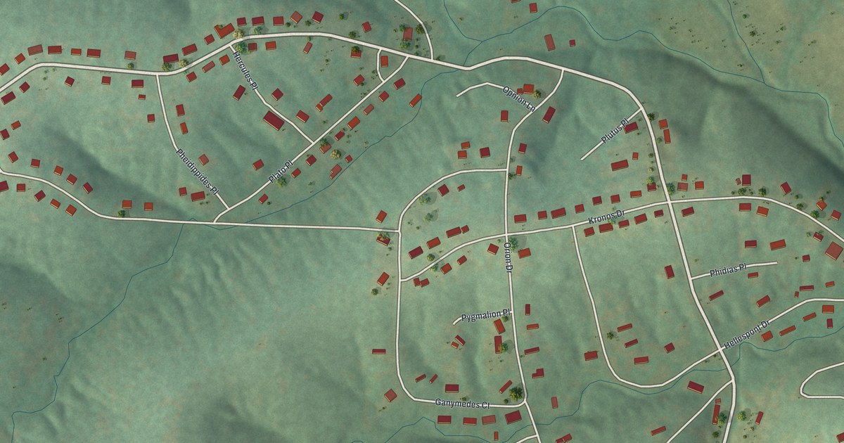
A detailed map of Olympian Village, Missouri, showing every building in its true location, the roads by name, and shaded topographical relief.
Read More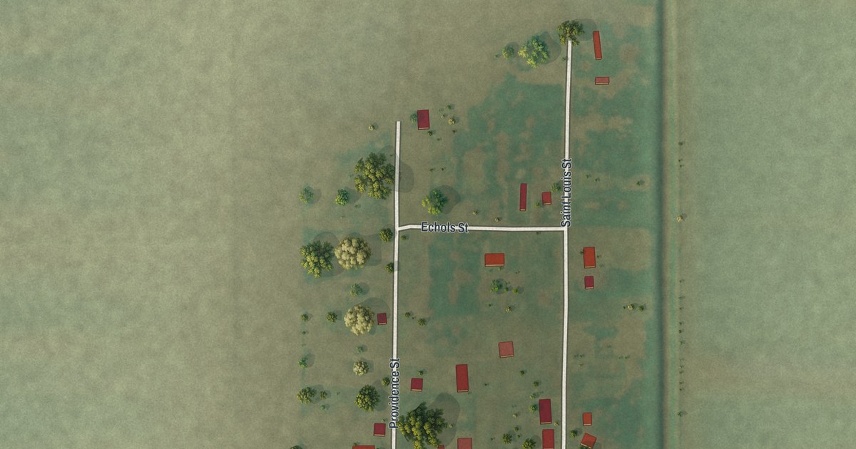
A detailed map of North Lilbourn, Missouri, showing every building in its true location, the roads by name, and shaded topographical relief.
Read More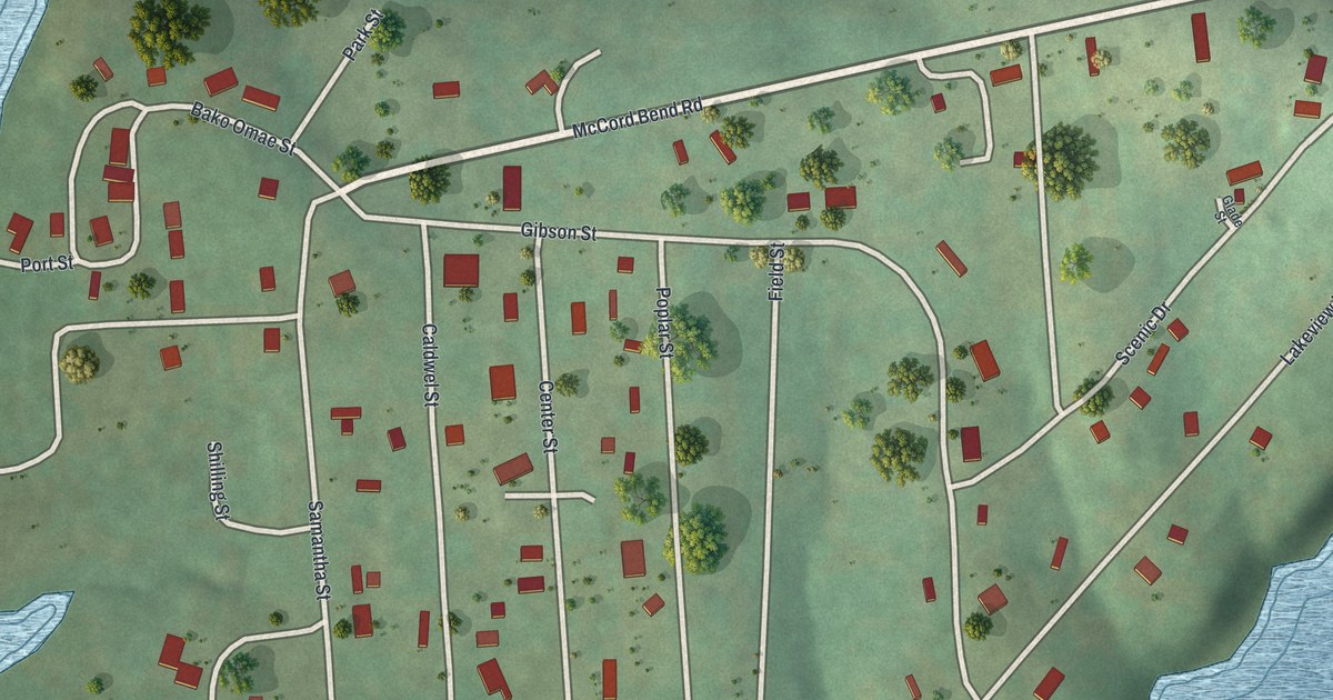
A detailed map of McCord Bend, Missouri, showing every building in its true location, the roads by name, and shaded topographical relief.
Read More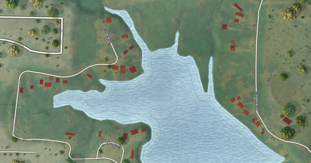
A detailed map of Baldwin Park, Missouri, showing every building in its true location, the roads by name, and shaded topographical relief.
Read More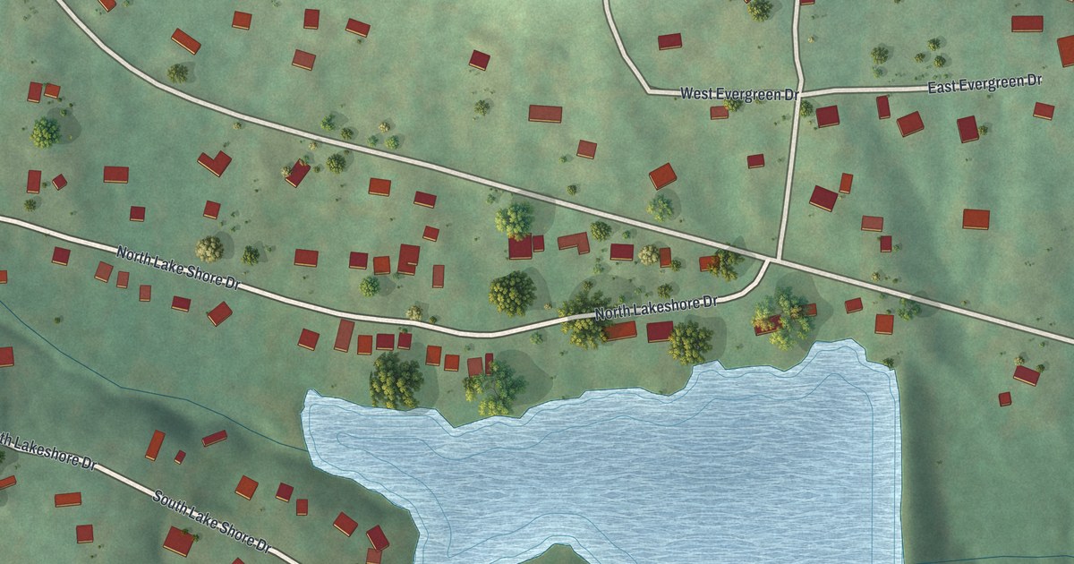
A detailed map of Lake Tekakwitha, Missouri, showing every building in its true location, the roads by name, and shaded topographical relief.
Read More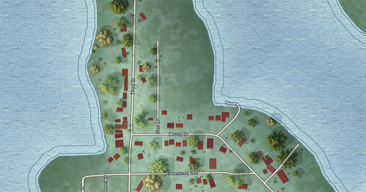
A detailed map of Coney Island, Missouri, showing every building in its true location, the roads by name, and shaded topographical relief.
Read More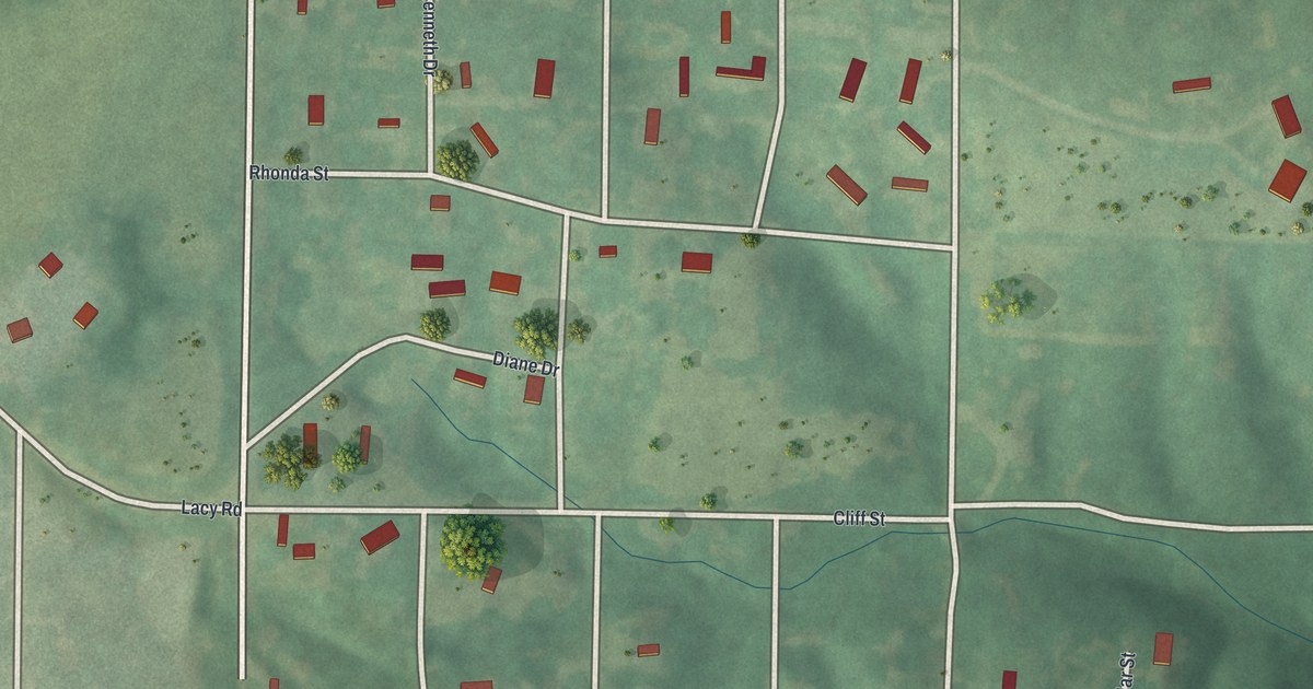
A detailed map of Excelsior Estates, Missouri, showing every building in its true location, the roads by name, and shaded topographical relief.
Read More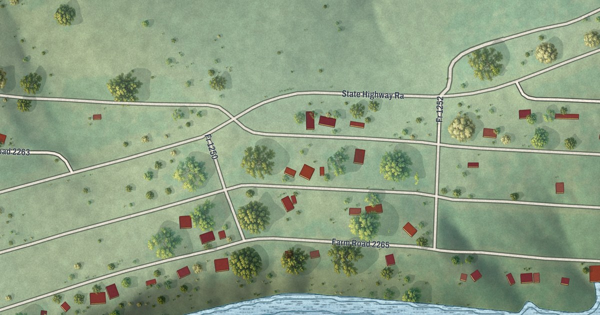
A detailed map of Arrow Point, Missouri, showing every building in its true location, the roads by name, and shaded topographical relief.
Read More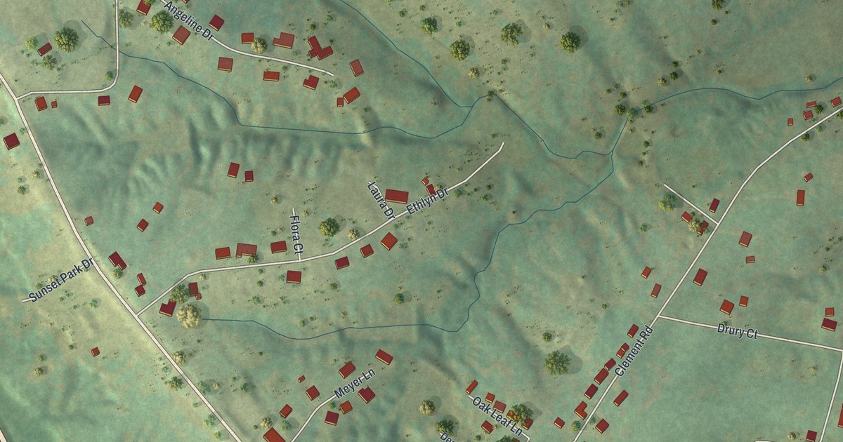
A detailed map of Bloomsdale, Missouri, showing every building in its true location, the roads by name, and shaded topographical relief.
Read More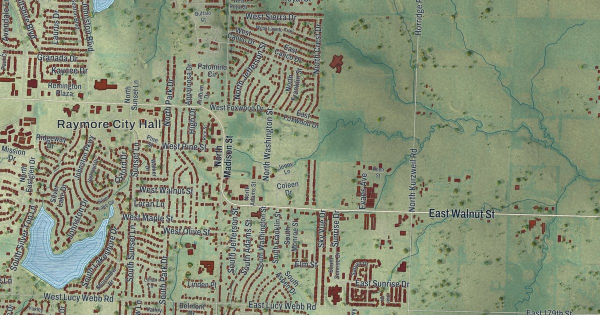
A detailed map of Raymore, Missouri, showing every building in its true location, the roads by name, and shaded topographical relief.
Read More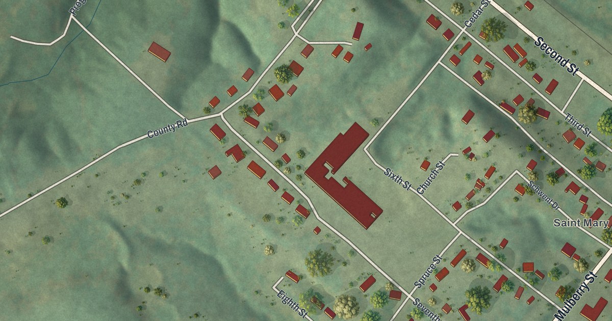
A detailed map of St. Mary, Missouri, showing every building in its true location, the roads by name, and shaded topographical relief.
Read More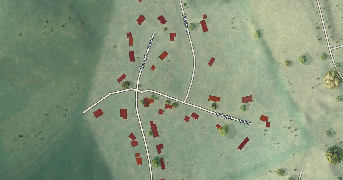
A detailed map of Weldon Spring Heights, Missouri, showing every building in its true location, the roads by name, and shaded topographical relief.
Read More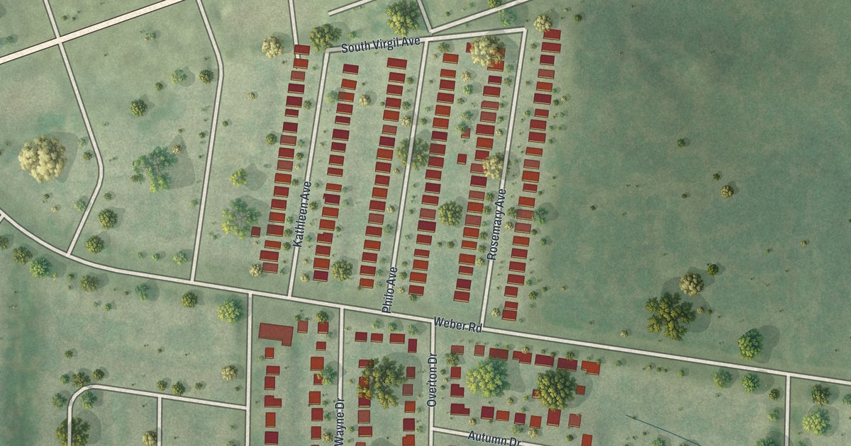
A detailed map of Wilbur Park, Missouri, showing every building in its true location, the roads by name, and shaded topographical relief.
Read More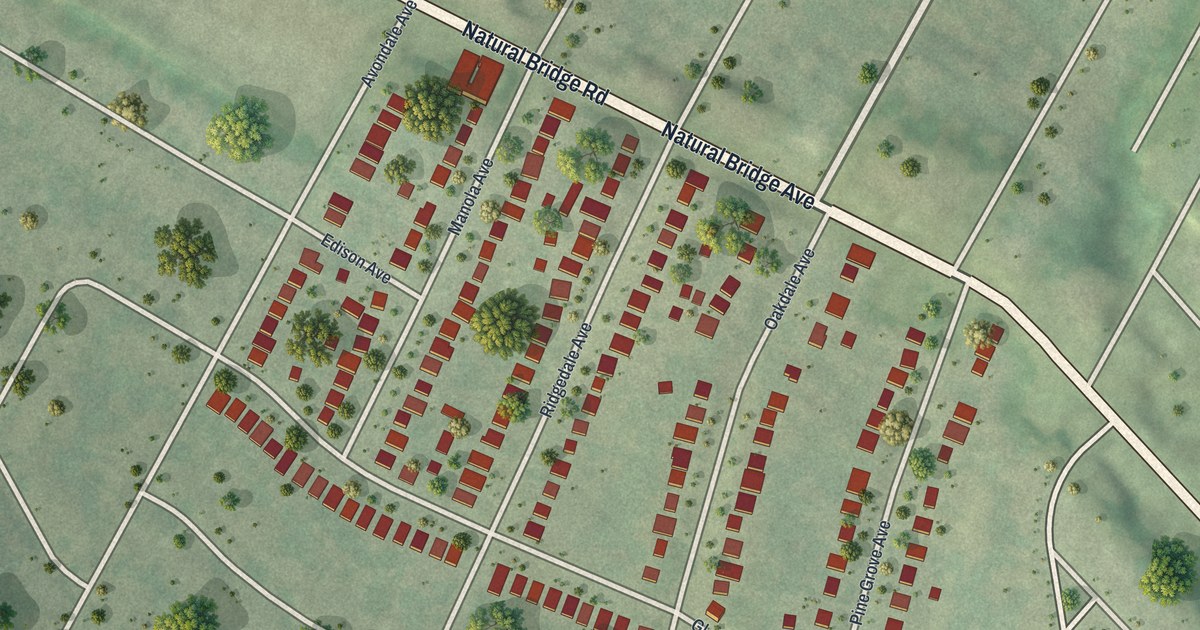
A detailed map of Uplands Park, Missouri, showing every building in its true location, the roads by name, and shaded topographical relief.
Read More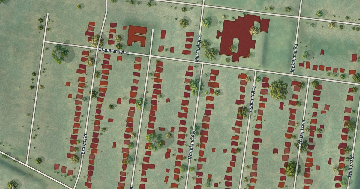
A detailed map of Sycamore Hills, Missouri, showing every building in its true location, the roads by name, and shaded topographical relief.
Read More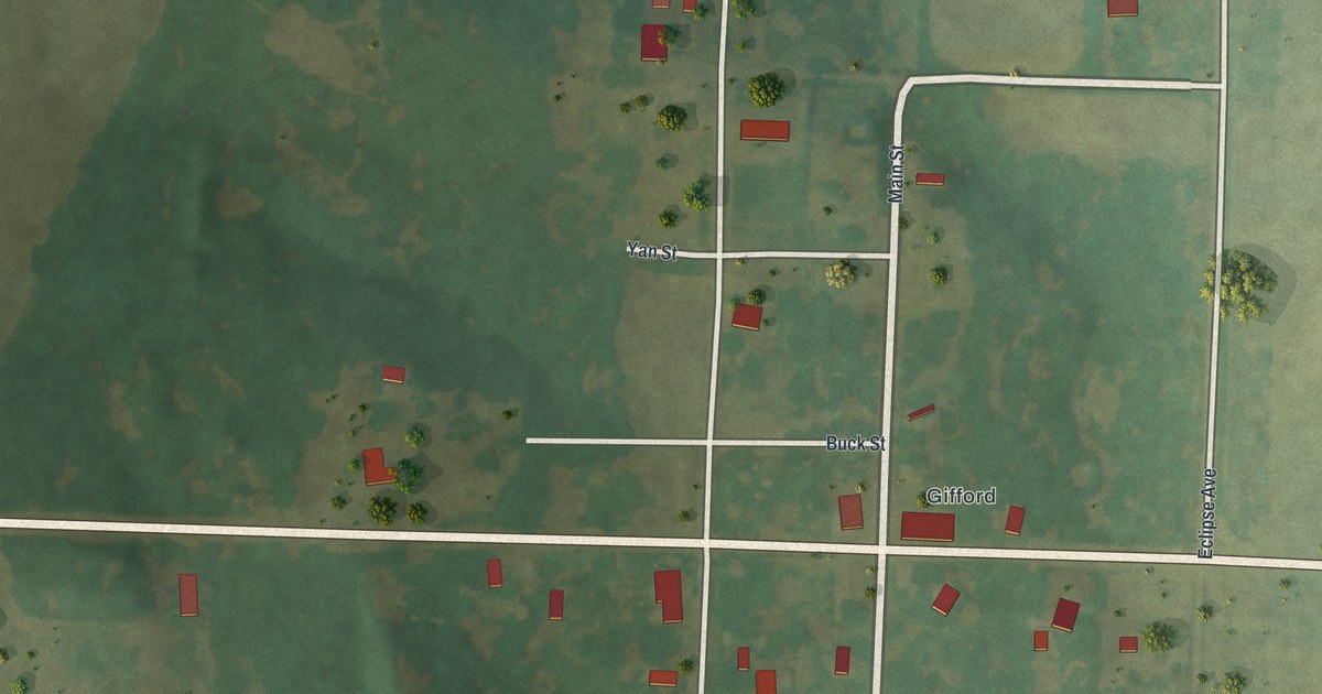
A detailed map of South Gifford, Missouri, showing every building in its true location, the roads by name, and shaded topographical relief.
Read More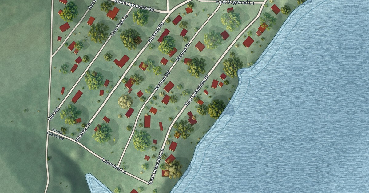
A detailed map of Chain-O-Lakes, Missouri, showing every building in its true location, the roads by name, and shaded topographical relief.
Read More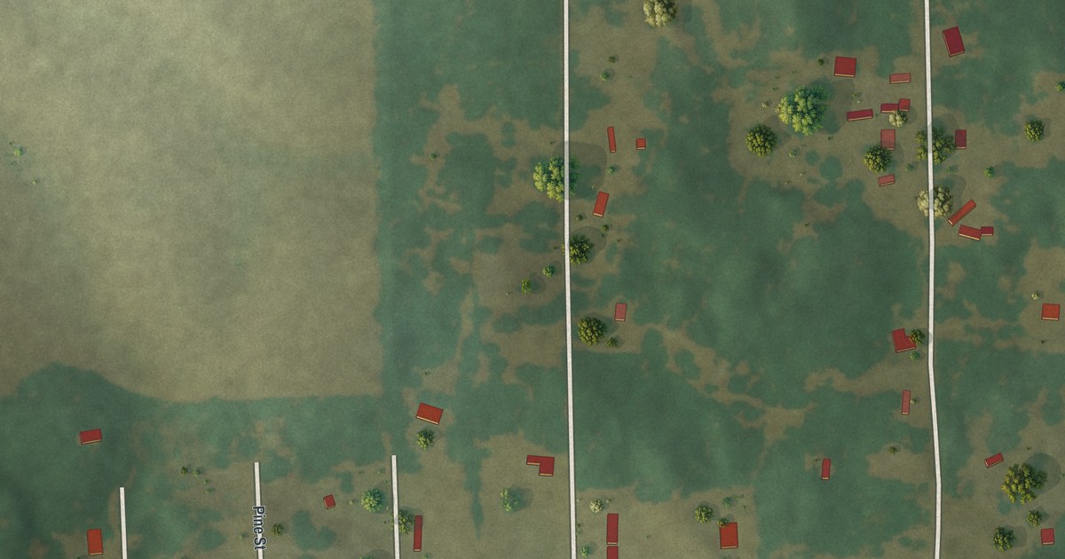
A detailed map of Haywood City, Missouri, showing every building in its true location, the roads by name, and shaded topographical relief.
Read More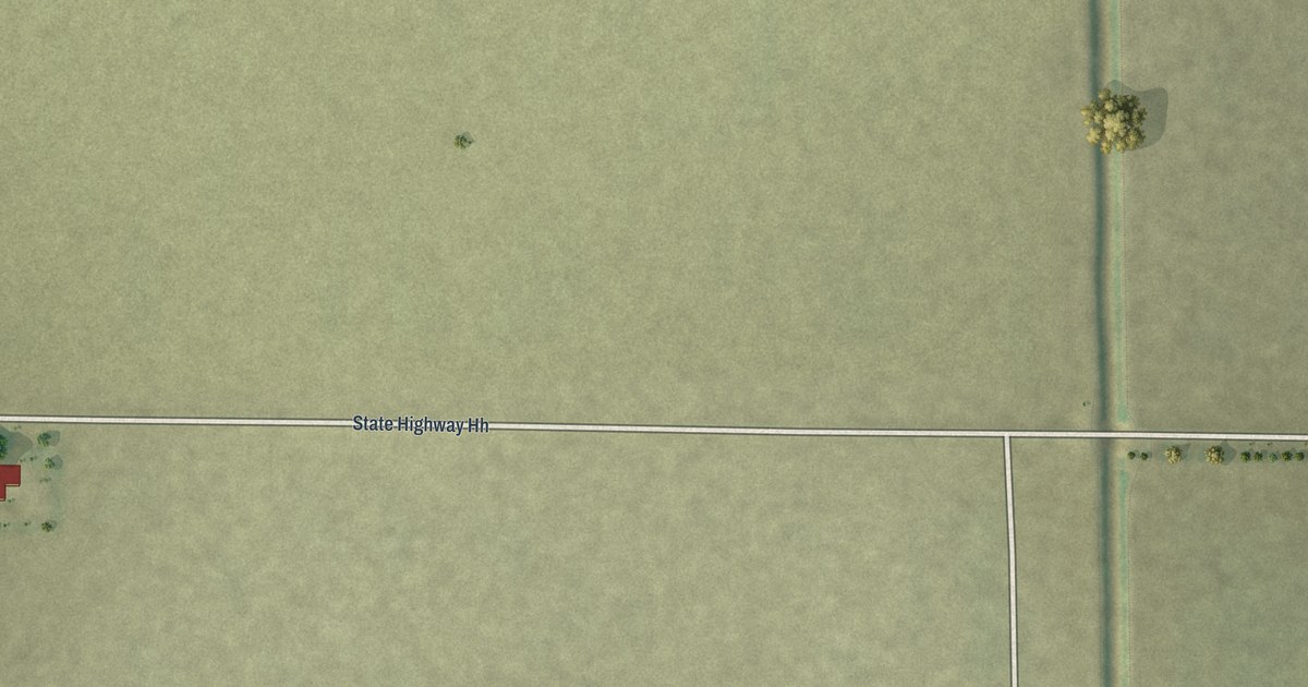
A detailed map of Baker, Missouri, showing every building in its true location, the roads by name, and shaded topographical relief.
Read More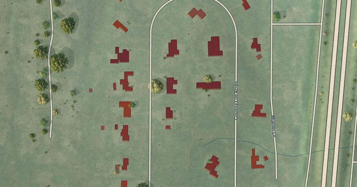
A detailed map of Country Life Acres, Missouri, showing every building in its true location, the roads by name, and shaded topographical relief.
Read More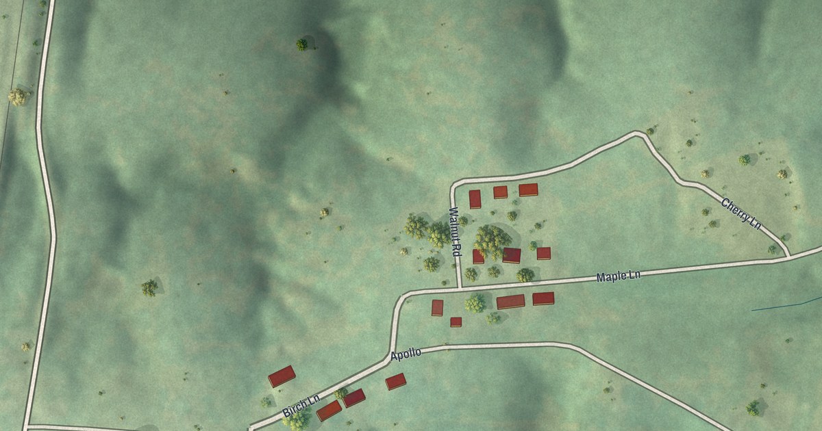
A detailed map of Charmwood, Missouri, showing every building in its true location, the roads by name, and shaded topographical relief.
Read More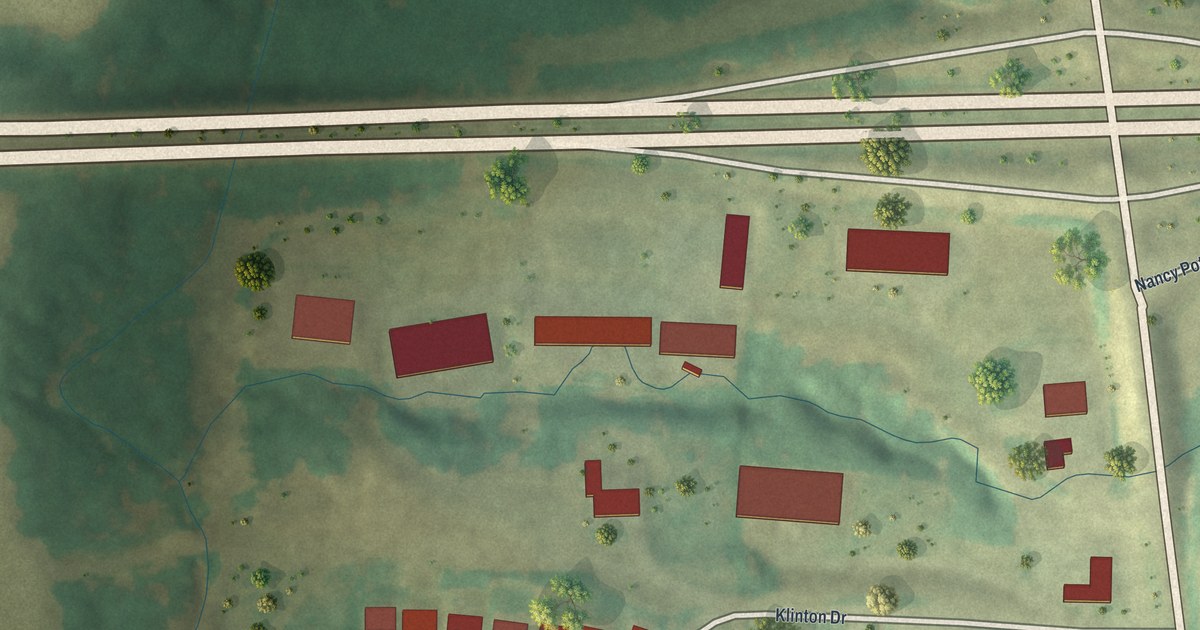
A detailed map of Windsor Place, Missouri, showing every building in its true location, the roads by name, and shaded topographical relief.
Read More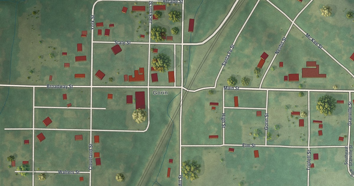
A detailed map of South Gorin, Missouri, showing every building in its true location, the roads by name, and shaded topographical relief.
Read More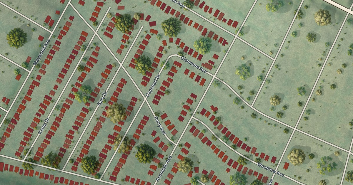
A detailed map of Velda Village Hills, Missouri, showing every building in its true location, the roads by name, and shaded topographical relief.
Read More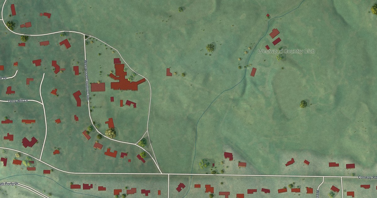
A detailed map of Westwood, Missouri, showing every building in its true location, the roads by name, and shaded topographical relief.
Read More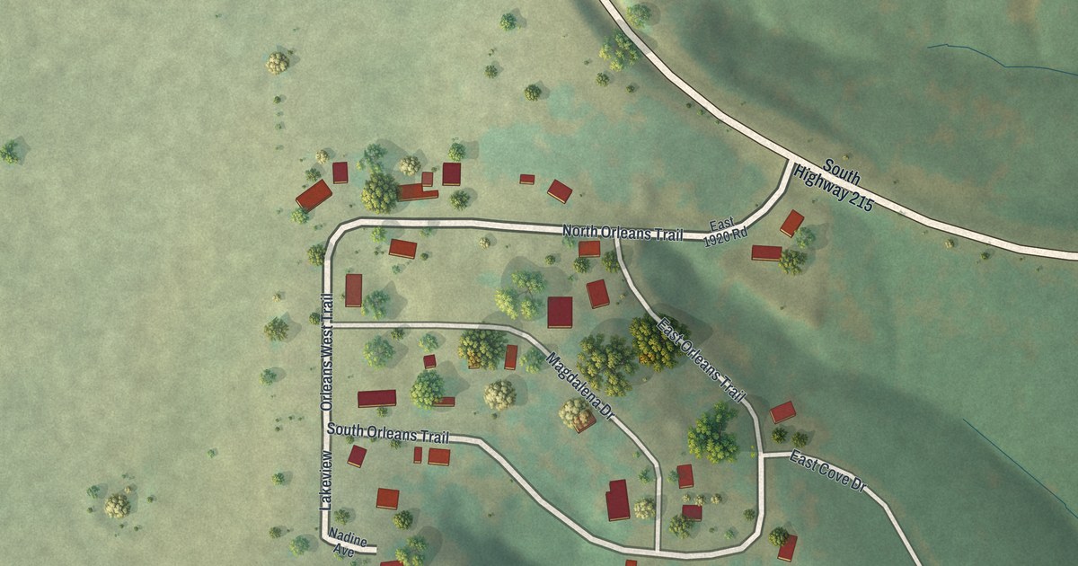
A detailed map of Umber View Heights, Missouri, showing every building in its true location, the roads by name, and shaded topographical relief.
Read More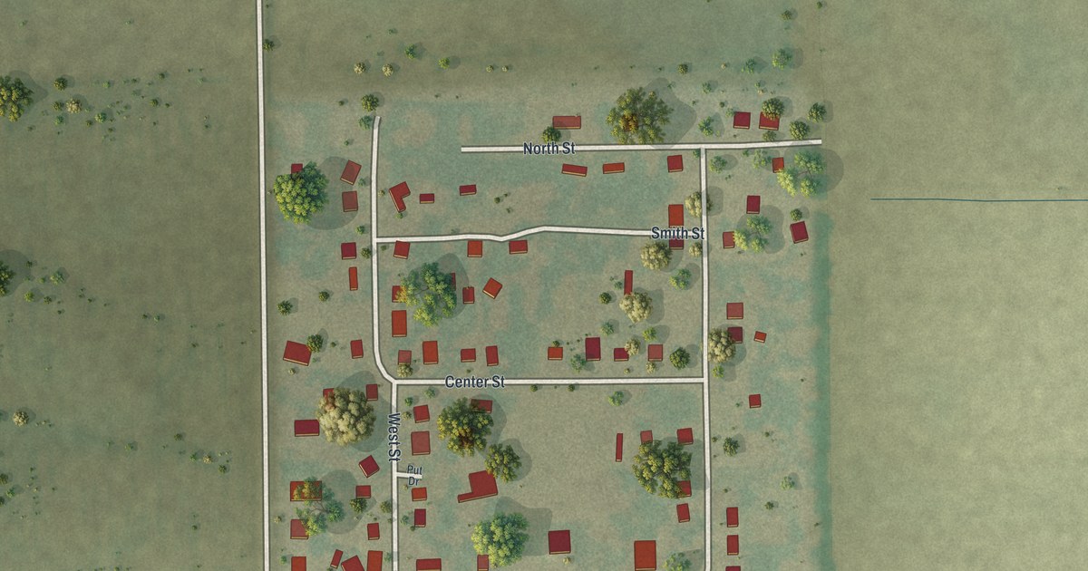
A detailed map of Wilson City, Missouri, showing every building in its true location, the roads by name, and shaded topographical relief.
Read More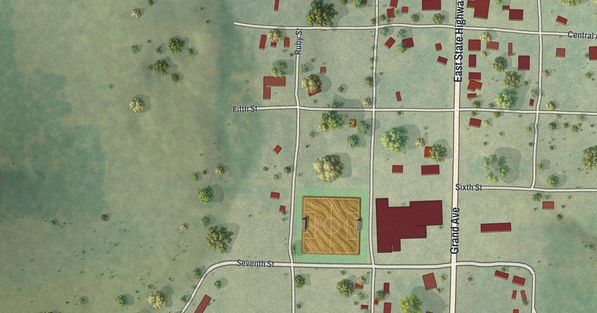
A detailed map of Taneyville, Missouri, showing every building in its true location, the roads by name, and shaded topographical relief.
Read More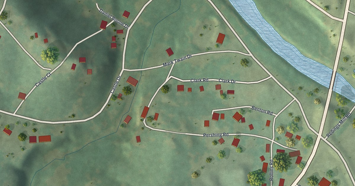
A detailed map of Redings Mill, Missouri, showing every building in its true location, the roads by name, and shaded topographical relief.
Read More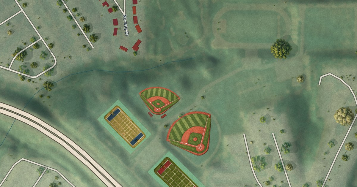
A detailed map of Norwood Court, Missouri, showing every building in its true location, the roads by name, and shaded topographical relief.
Read More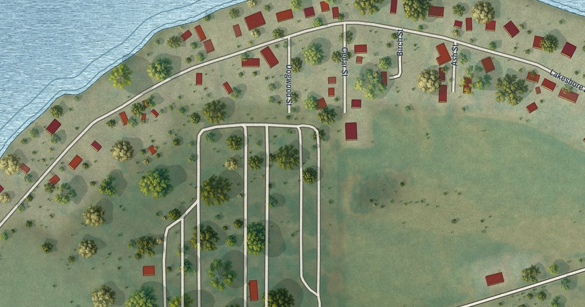
A detailed map of Lewis and Clark Village, Missouri, showing every building in its true location, the roads by name, and shaded topographical relief.
Read More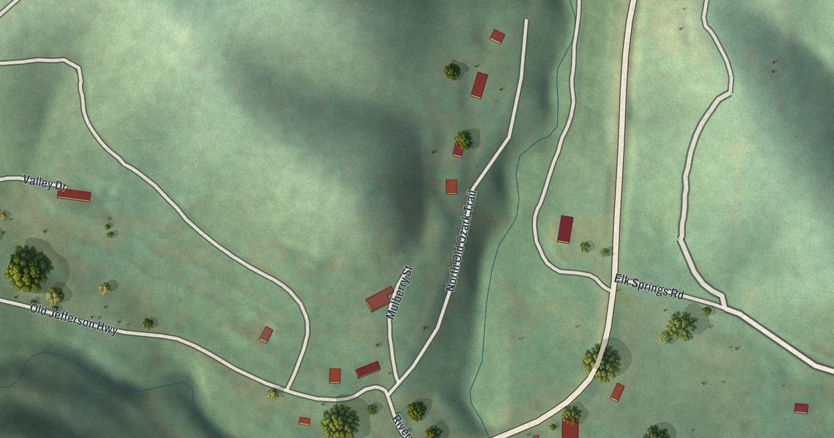
A detailed map of Ginger Blue, Missouri, showing every building in its true location, the roads by name, and shaded topographical relief.
Read More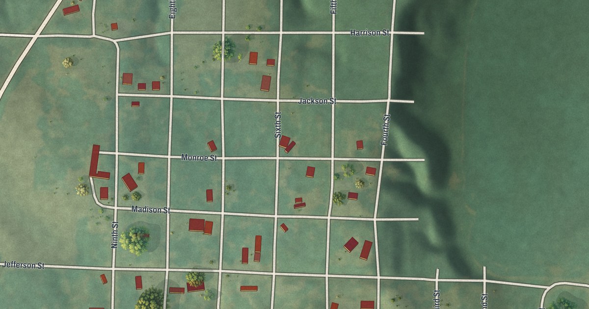
A detailed map of De Witt, Missouri, showing every building in its true location, the roads by name, and shaded topographical relief.
Read More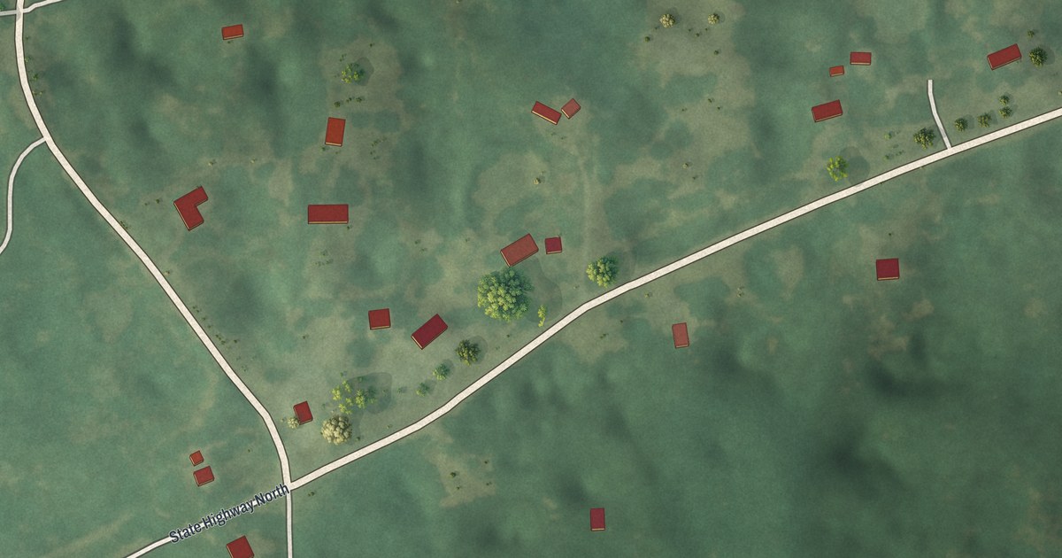
A detailed map of Pierpont, Missouri, showing every building in its true location, the roads by name, and shaded topographical relief.
Read More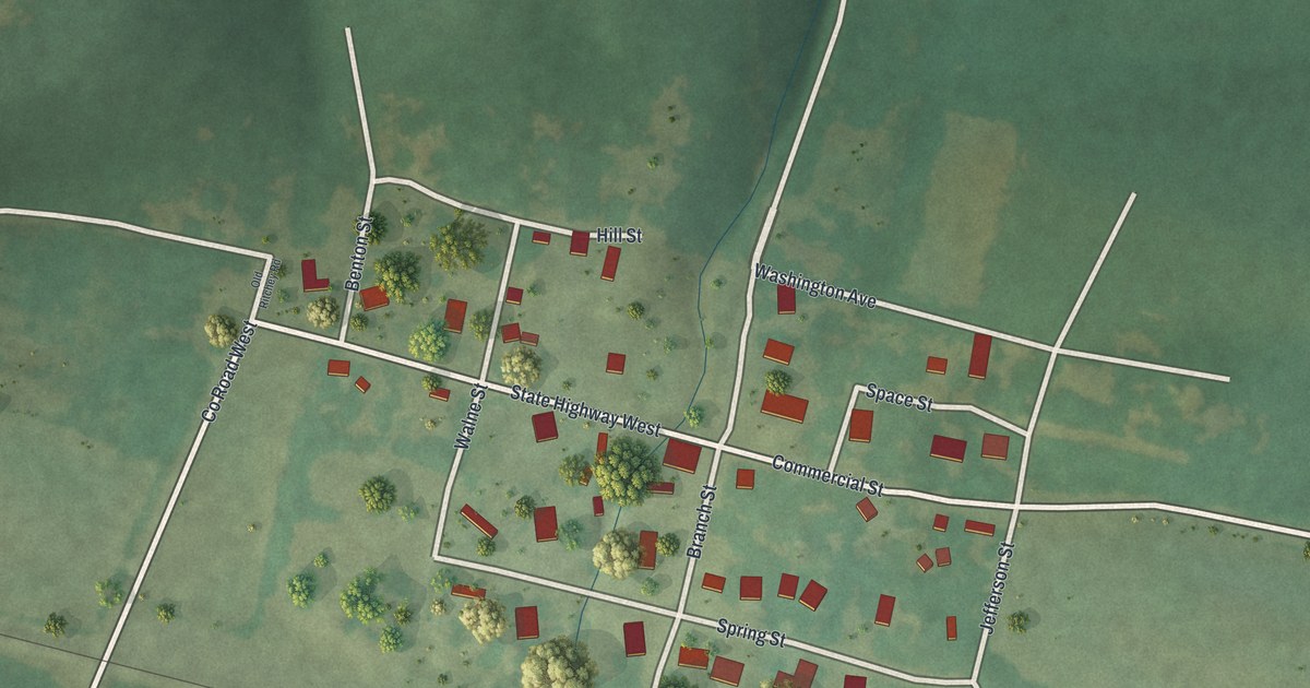
A detailed map of Ritchey, Missouri, showing every building in its true location, the roads by name, and shaded topographical relief.
Read More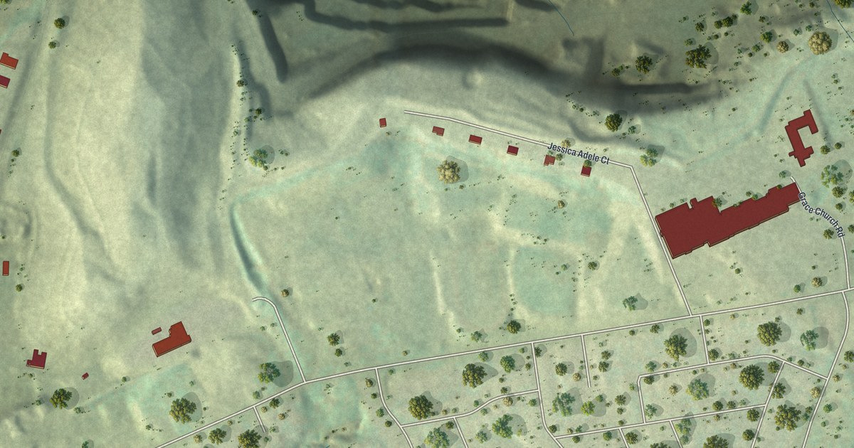
A detailed map of Champ, Missouri, showing every building in its true location, the roads by name, and shaded topographical relief.
Read More