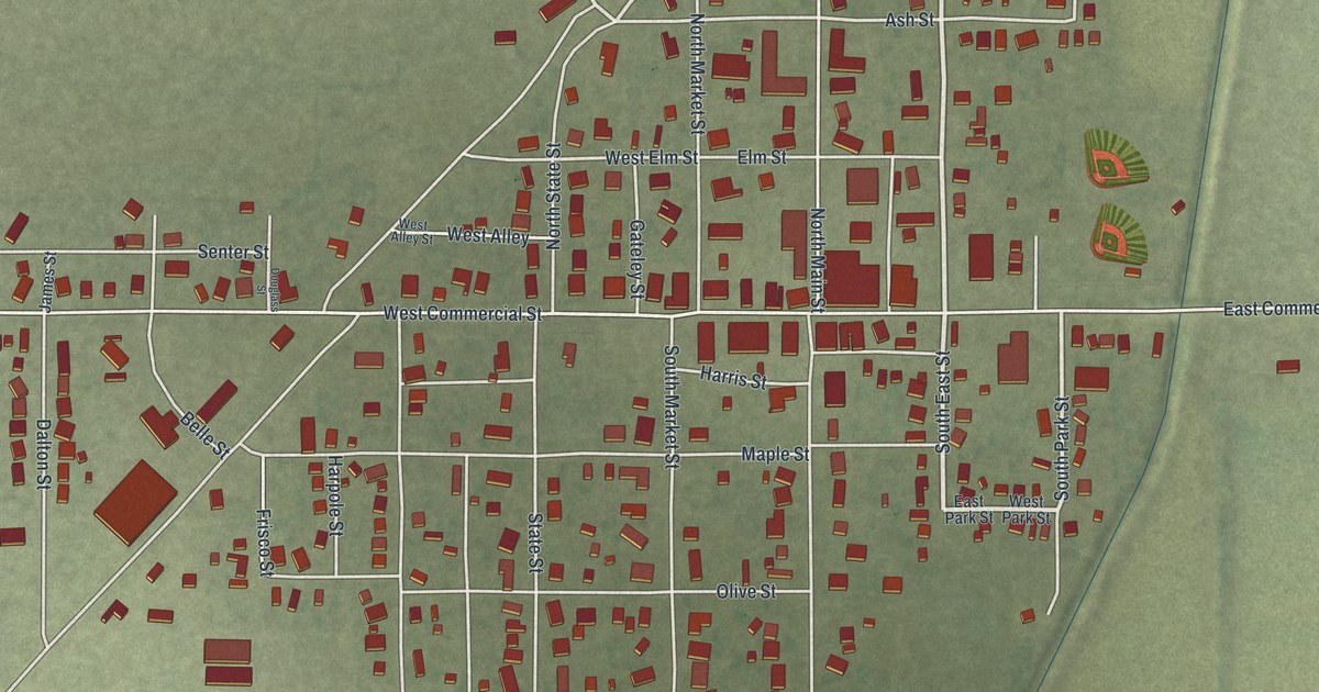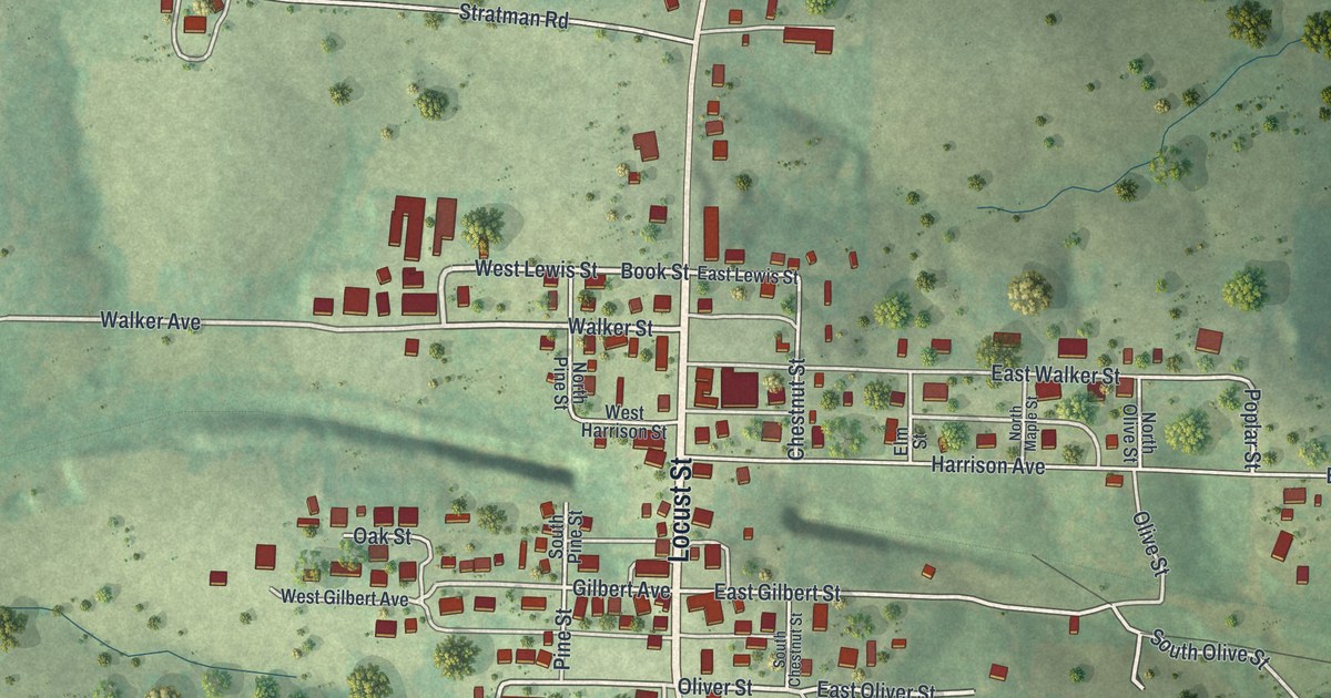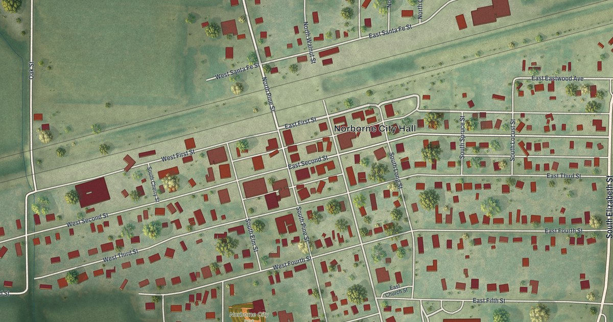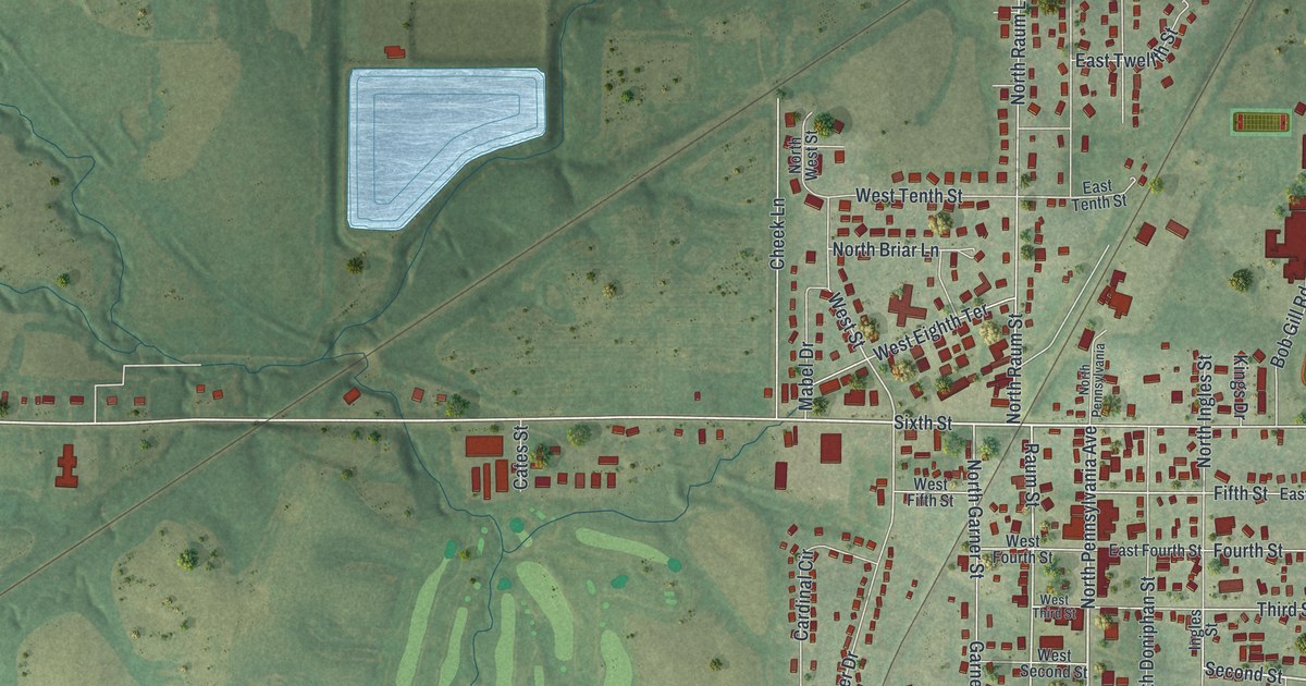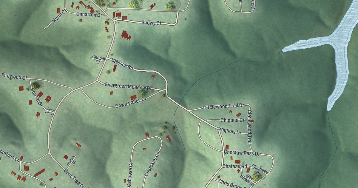
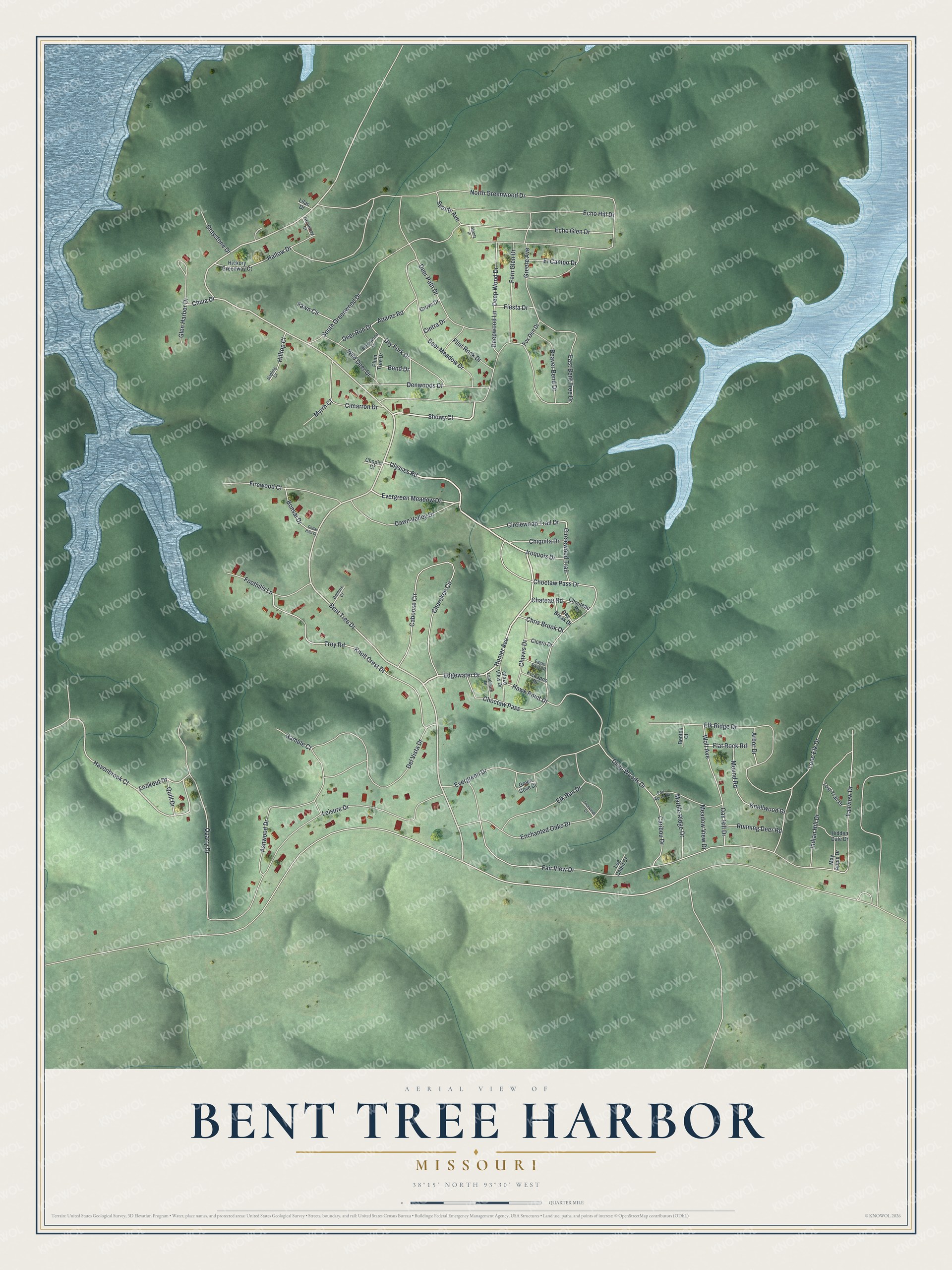
This beautifully detailed map of Bent Tree Harbor, Missouri was created in 2026 using aerial imagery combined with modern topographical, census, street and landmark data. It's a modern aerial view of Bent Tree Harbor in Benton County, Missouri, that combines modern data with a vintage aesthetic. The roads feature printed names, and if you look closely you can find your exact house accurately shown in its correct location.
Explore an aerial view of Bent Tree Harbor, Missouri
On this map you'll find East Bent Tree Drive, Edgewater Drive, Ulysses Road, Homer Avenue, Bent Tree Drive, Evergreen Meadow Drive, Showy Court, Havenbrook Court, Quarry Drive, Deep Wood Drive, Hawk Point Drive, Circlewood Trail Drive, and more. Each red shape is a building, so zoom in on the preview and look for yours.
Bent Tree Harbor is a community in Benton County. The Census Bureau counted 283 people here in 2020. Bent Tree Harbor sits about 5 miles southeast of Tightwad, 7 miles west of Warsaw and 7 miles west of White Branch. The map prints the town name in its title panel, with the coordinates below it.
Take a closer look at the Bent Tree Harbor map
Names on this map
These names are printed on this map.
Streets and roads: East Bent Tree Drive, Edgewater Drive, Ulysses Road, Homer Avenue, Bent Tree Drive, Evergreen Meadow Drive, Showy Court, Havenbrook Court, Quarry Drive, Deep Wood Drive, Hawk Point Drive, Circlewood Trail Drive.
More street names, A to Z
Adams Road, Arbor Drive, Ashwood Drive, Beaver Bend Drive, Bend Drive, Benton Court, Blackwood Drive, Bonsai Drive, Caboose Circle, Caribou Drive, Cedar Hills Drive, Chateau Road, Cherokee Circle, Chiquita Drive, Chivvis Drive, Choctaw Pass, Choctaw Pass Drive, Chopin Court, Chouteau Drive, Chris Brook Drive, Chula Drive, Cicero Drive, Cimarron Drive, Cintra Drive, Circlewood Trail, Dawn Valley Drive, Day Break Drive, Deepwood Lane, Deep Woods Drive, Deer Meadow Drive, Deer Path Drive, Deer Run Drive, Del Vista Drive, Demure Court, Denwoods Drive, Dry Fork Drive, Eagle Pass Drive, Echo Glen Drive, Echo Hill Drive, El Campo Drive, Elk Ridge Drive, Elk Run Drive, Enchanted Oaks Drive, Evergreen Drive, Fair Acres Drive, Fairview Drive, Fair View Drive, Fawn Circle, Fern Glen Drive, Fiesta Drive, Firewood Court, Flat Rock Road, Flint Rock Drive, Foothills Lane, Fourwinds Court, Fox Den Drive, Gamble Court, Glaze View Drive, Glen Harbor Drive, Graystone Drive, Green Cove Court, Greenway Court, Greere Avenue, Grove Drive, Hallow Drive, Hickory Greenway Court, Hidden Dale Drive, Hilltop Court, Indian Hill Drive, Iroquois Drive, Kickapoo Drive, Knoll Crest Drive, Knollwood Drive, Landmark Drive, Leisure Drive, Lilac Drive, Log Cabin Court, Lone Elk Drive, Lookout Drive, Lost Trail Drive, Marble Ridge Drive, May Apple Drive, Meadow View Drive, Mound Road, Myrrh Court, North Greenwood Drive, Oak Hill Drive, Plum Tree Drive, Quill Drive, Running Deer Road, Sapling Court, Shanty Avenue, Shanty Drive, South Greenwood Drive, Troy Road, Wild Deer Drive, Wolf Avenue.
See it on a wall
The Bent Tree Harbor map as a framed print. Swipe for more.


Created by KNOWOL in 2026. The buildings are small red shapes, the roads carry their printed names, and shaded relief shows the shape of the land. The title panel reads "AERIAL VIEW OF BENT TREE HARBOR, MISSOURI" with 38°15' NORTH 93°30' WEST.
Hang it in the hallway, the office or the cabin, or give it to someone who left Bent Tree Harbor and still calls it home. Open the preview and look for a street you know. See sizes and frames for the Bent Tree Harbor map.