Detailed Map of Helena, Missouri
A detailed map of Helena, Missouri, showing every building in its true location, the roads by name, and shaded topographical relief.
Read More
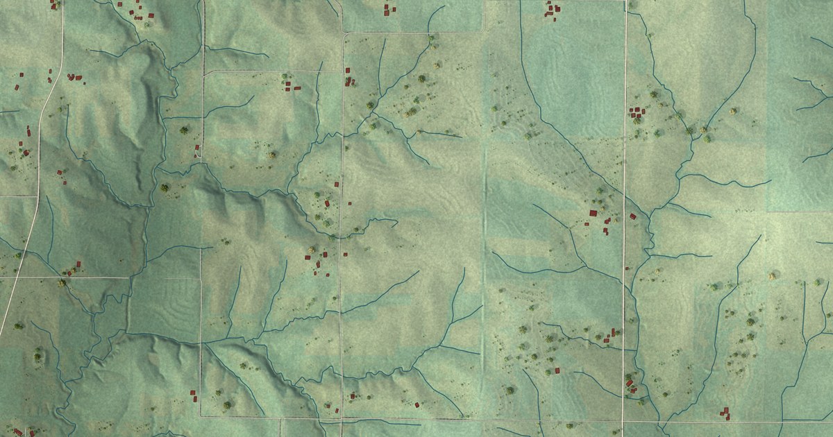
A detailed map of Helena, Missouri, showing every building in its true location, the roads by name, and shaded topographical relief.
Read More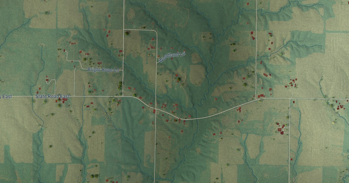
A detailed map of Hatton, Missouri, showing every building in its true location, the roads by name, and shaded topographical relief.
Read More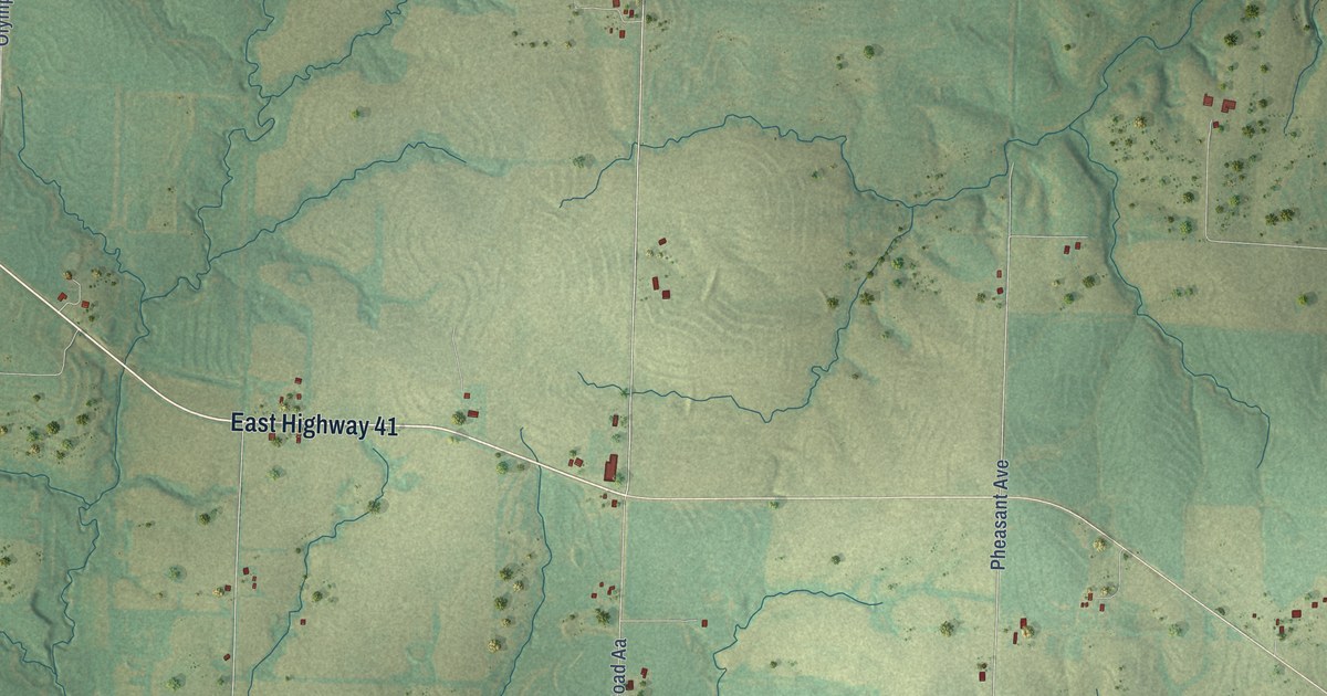
A detailed map of Hardeman, Missouri, showing every building in its true location, the roads by name, and shaded topographical relief.
Read More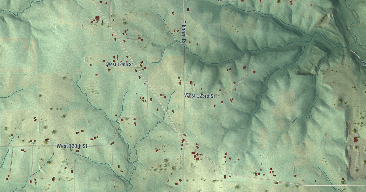
A detailed map of Elkhorn, Missouri, showing every building in its true location, the roads by name, and shaded topographical relief.
Read More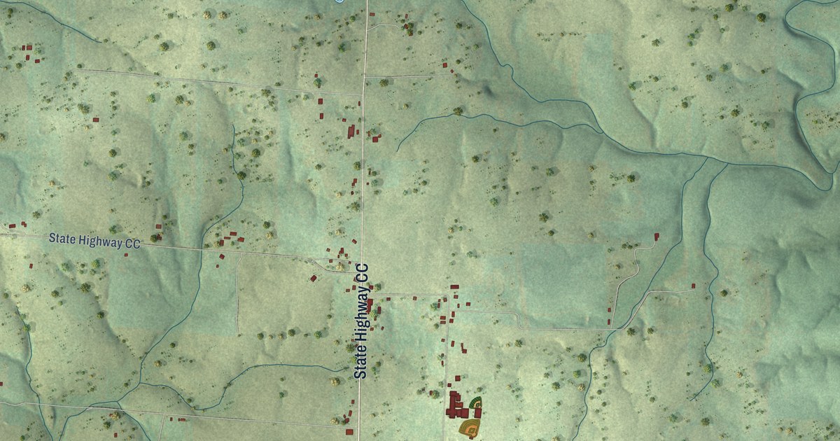
A detailed map of Dora, Missouri, showing every building in its true location, the roads by name, and shaded topographical relief.
Read More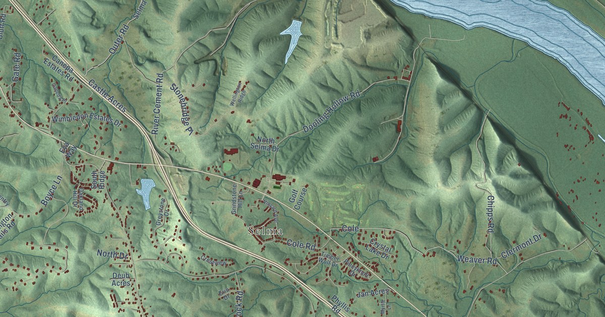
A detailed map of Danby, Missouri, showing every building in its true location, the roads by name, and shaded topographical relief.
Read More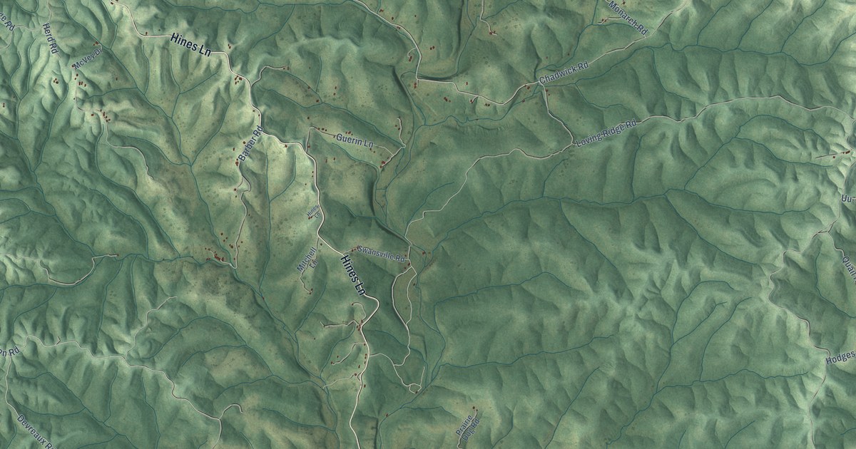
A detailed map of Chadwick, Missouri, showing every building in its true location, the roads by name, and shaded topographical relief.
Read More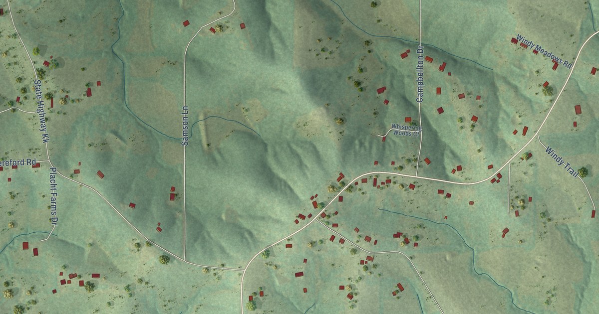
A detailed map of Campbellton, Missouri, showing every building in its true location, the roads by name, and shaded topographical relief.
Read More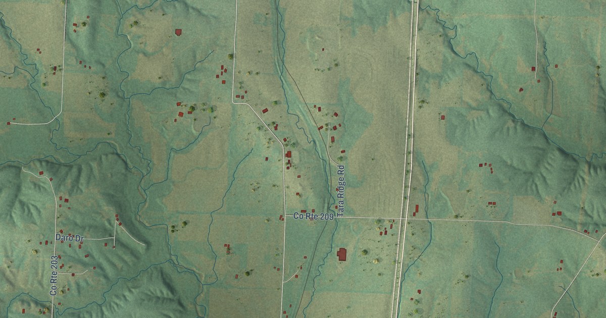
A detailed map of Callaway, Missouri, showing every building in its true location, the roads by name, and shaded topographical relief.
Read More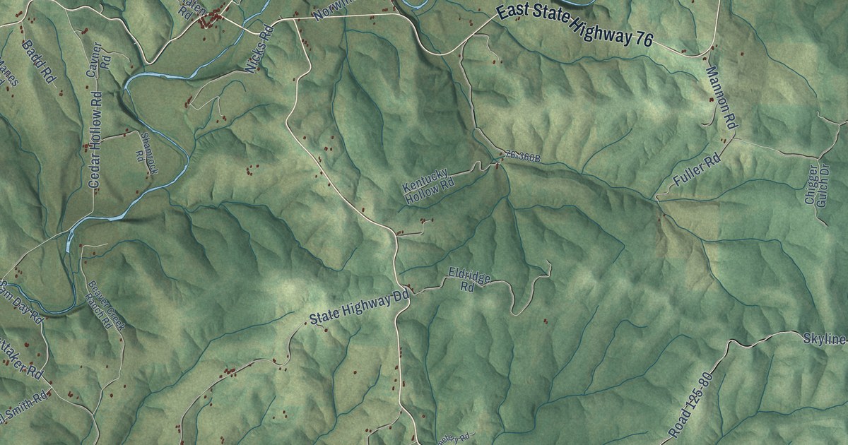
A detailed map of Bradleyville, Missouri, showing every building in its true location, the roads by name, and shaded topographical relief.
Read More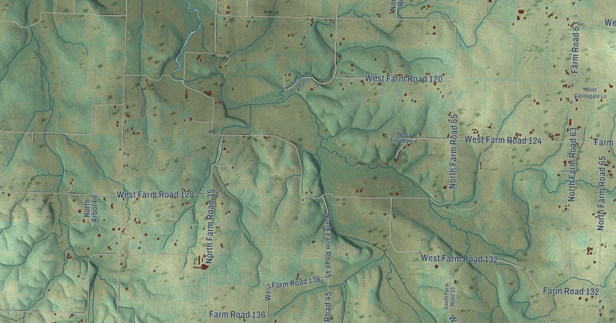
A detailed map of Bois D’Arc, Missouri, showing every building in its true location, the roads by name, and shaded topographical relief.
Read More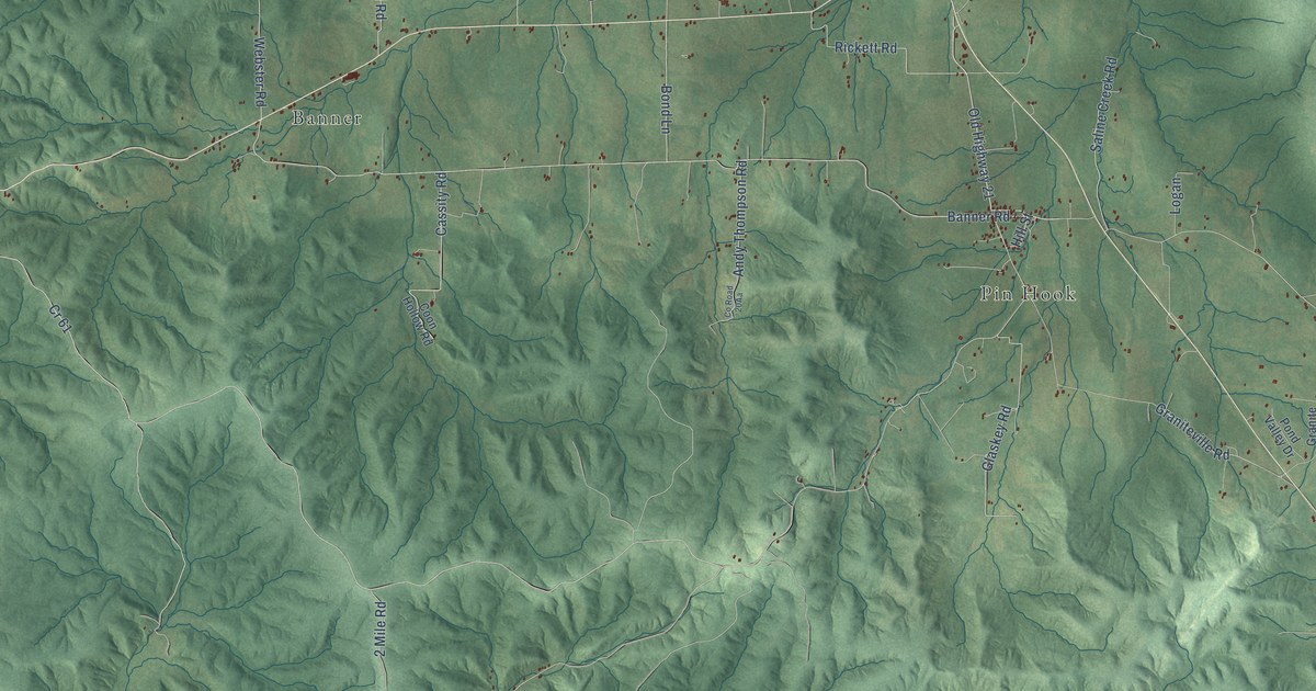
A detailed map of Belleview, Missouri, showing every building in its true location, the roads by name, and shaded topographical relief.
Read More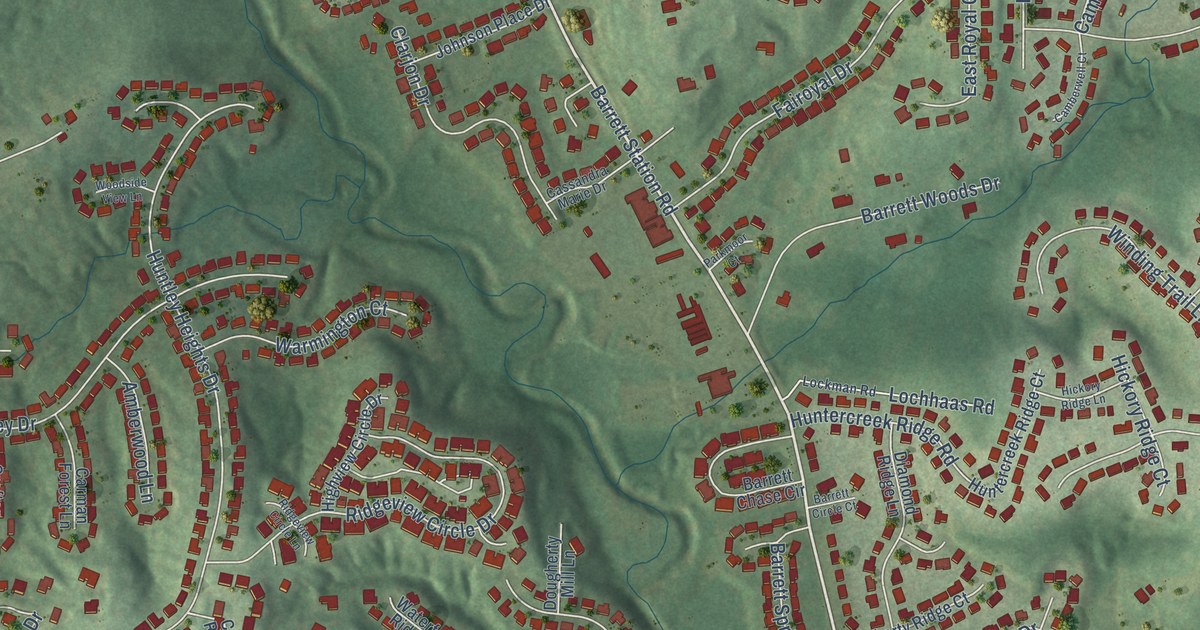
A detailed map of Barretts, Missouri, showing every building in its true location, the roads by name, and shaded topographical relief.
Read More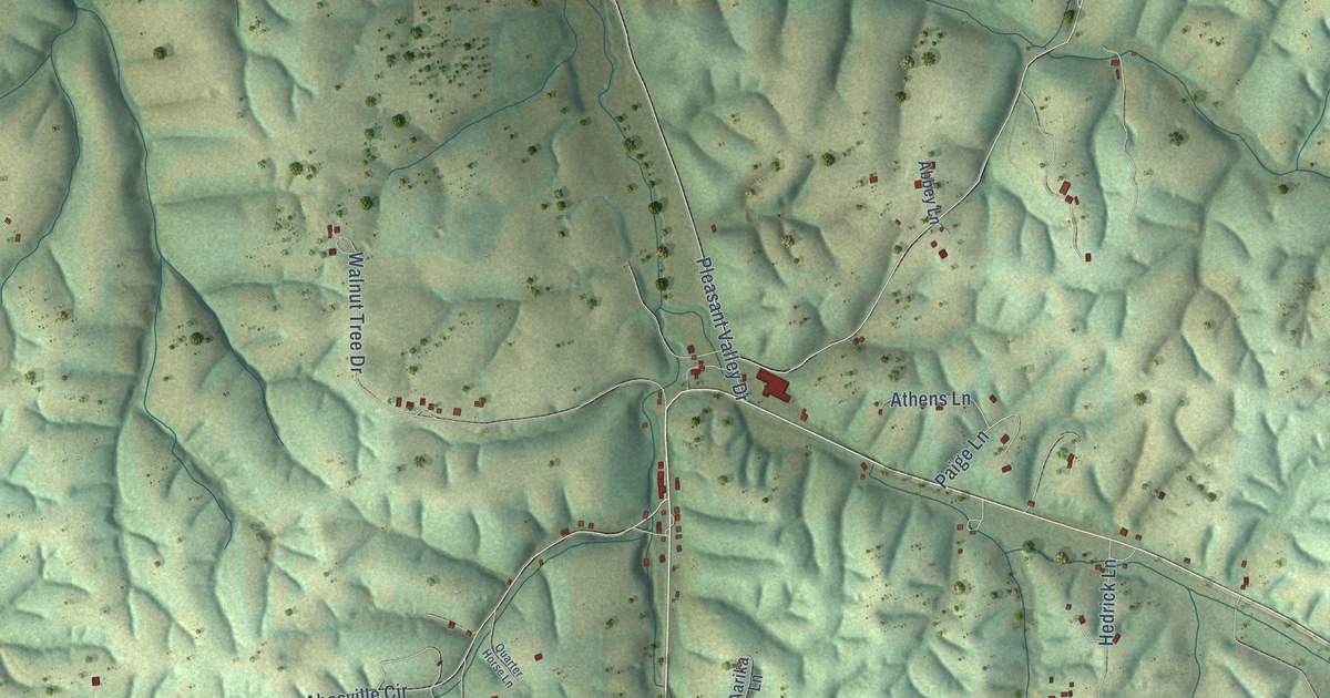
A detailed map of Abesville, Missouri, showing every building in its true location, the roads by name, and shaded topographical relief.
Read More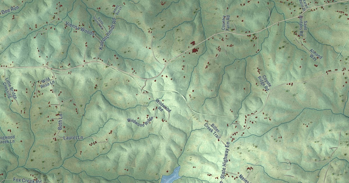
A detailed map of Beaufort, Missouri, showing every building in its true location, the roads by name, and shaded topographical relief.
Read More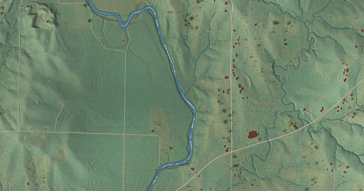
A detailed map of Avenue City, Missouri, showing every building in its true location, the roads by name, and shaded topographical relief.
Read More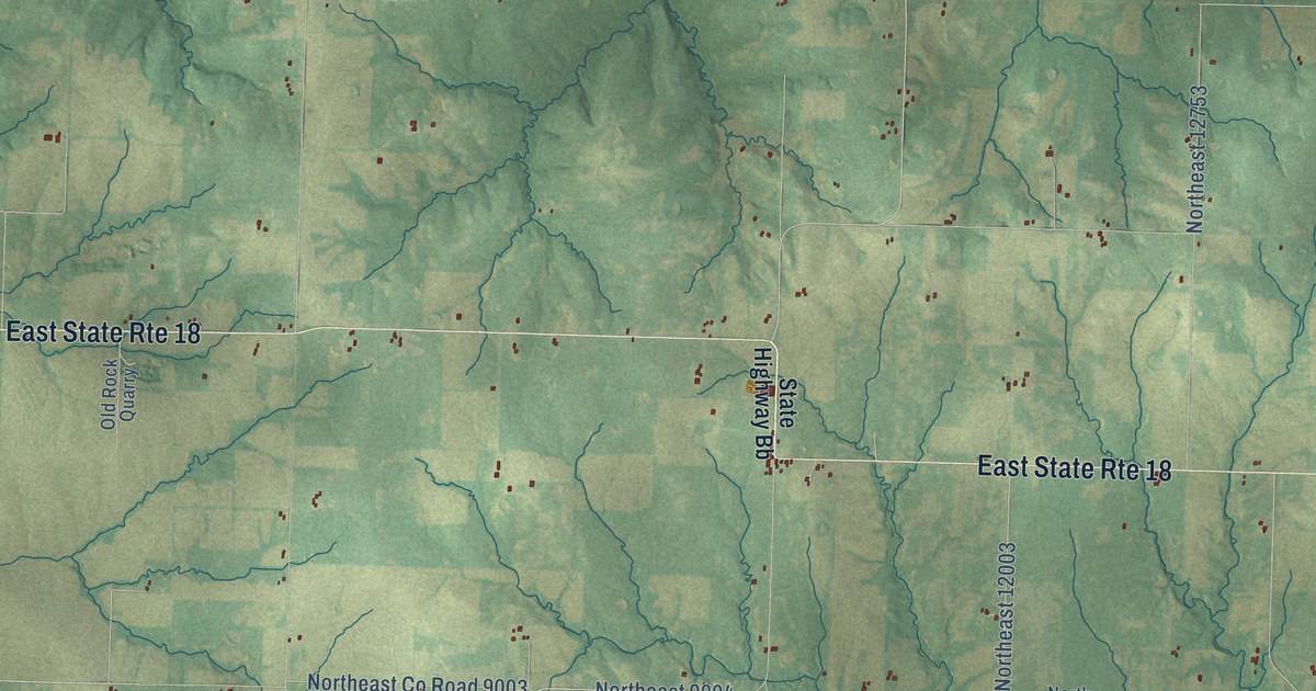
A detailed map of Ballard, Missouri, showing every building in its true location, the roads by name, and shaded topographical relief.
Read More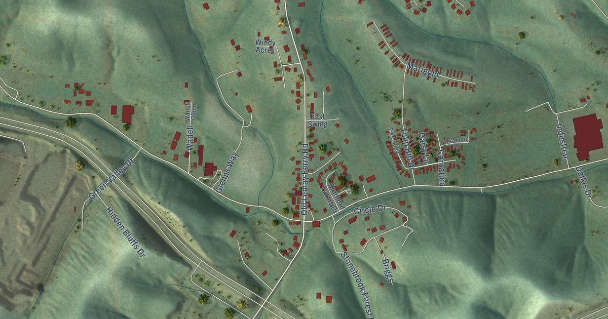
A detailed map of Antonia, Missouri, showing every building in its true location, the roads by name, and shaded topographical relief.
Read More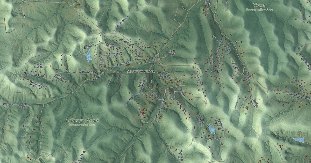
A detailed map of LaBarque Creek, Missouri, showing every building in its true location, the roads by name, and shaded topographical relief.
Read More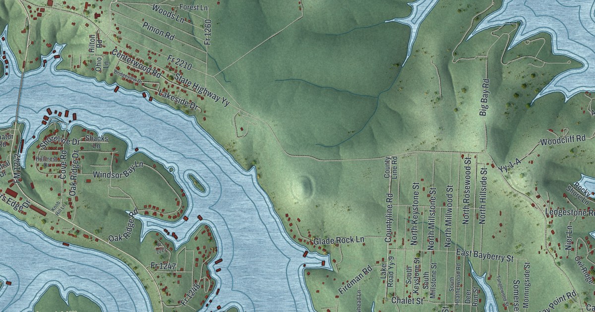
A detailed map of Shell Knob, Missouri, showing every building in its true location, the roads by name, and shaded topographical relief.
Read More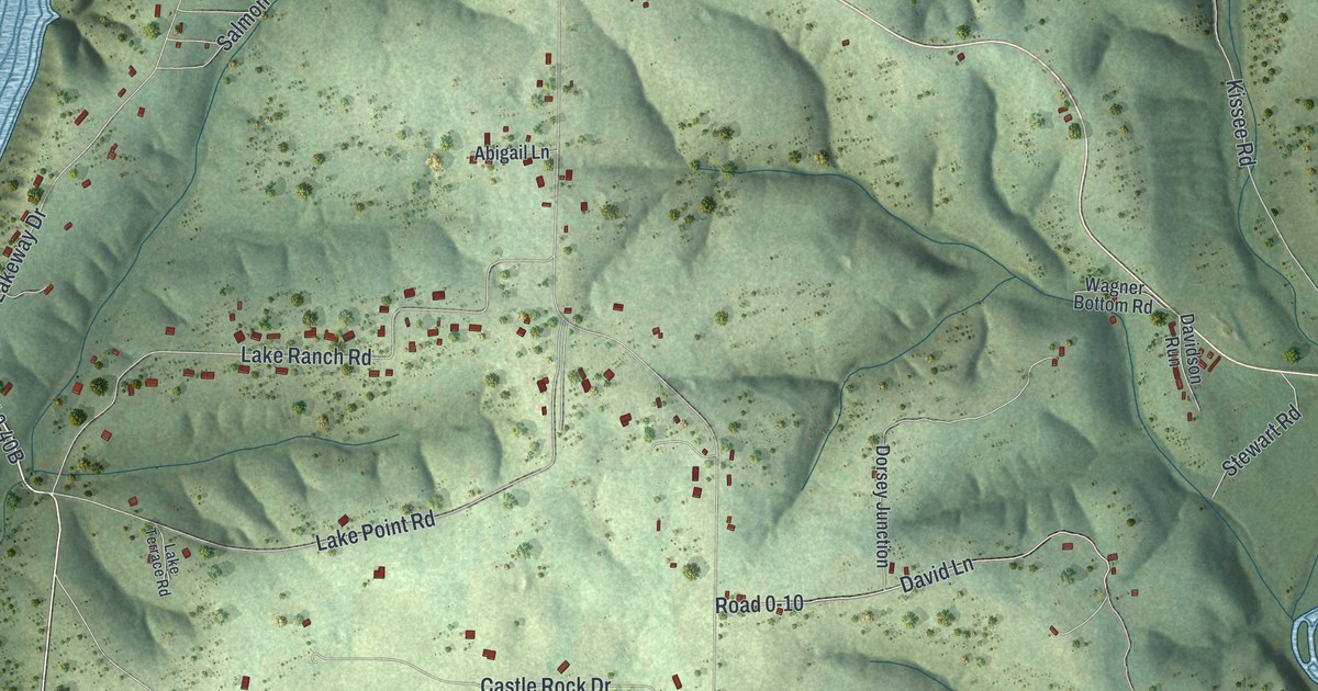
A detailed map of Kissee Mills, Missouri, showing every building in its true location, the roads by name, and shaded topographical relief.
Read More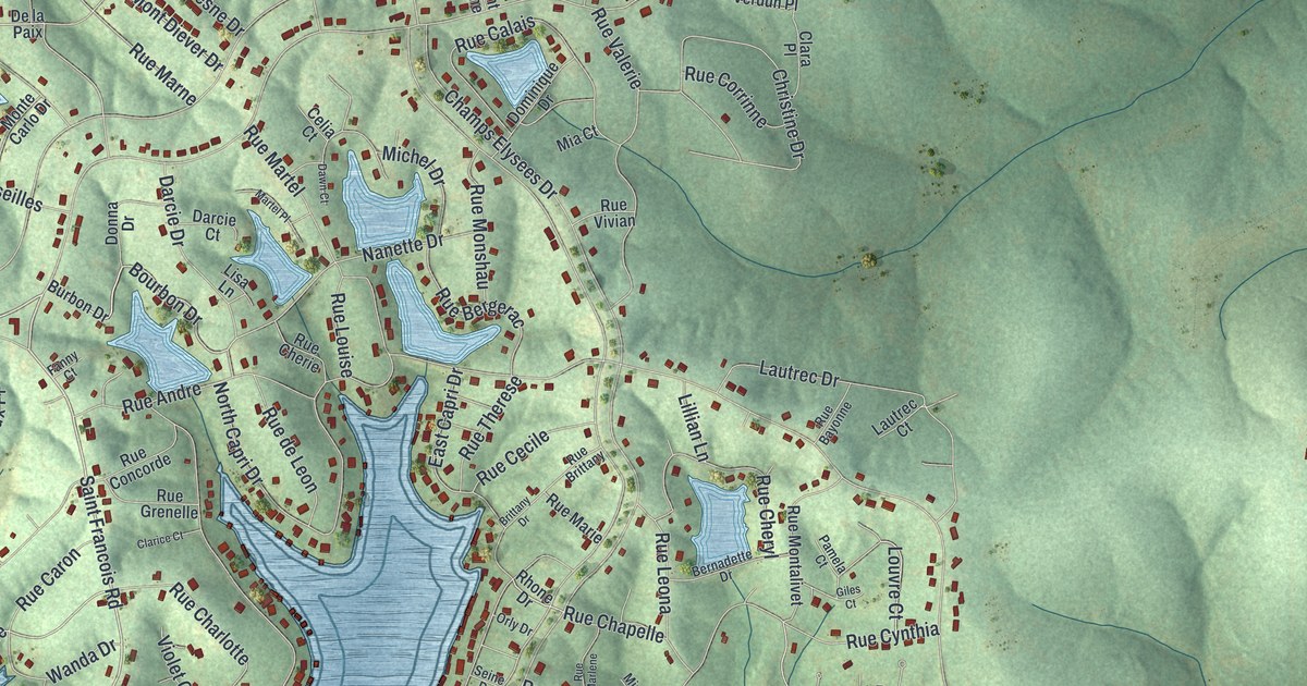
A detailed map of Terre du Lac, Missouri, showing every building in its true location, the roads by name, and shaded topographical relief.
Read More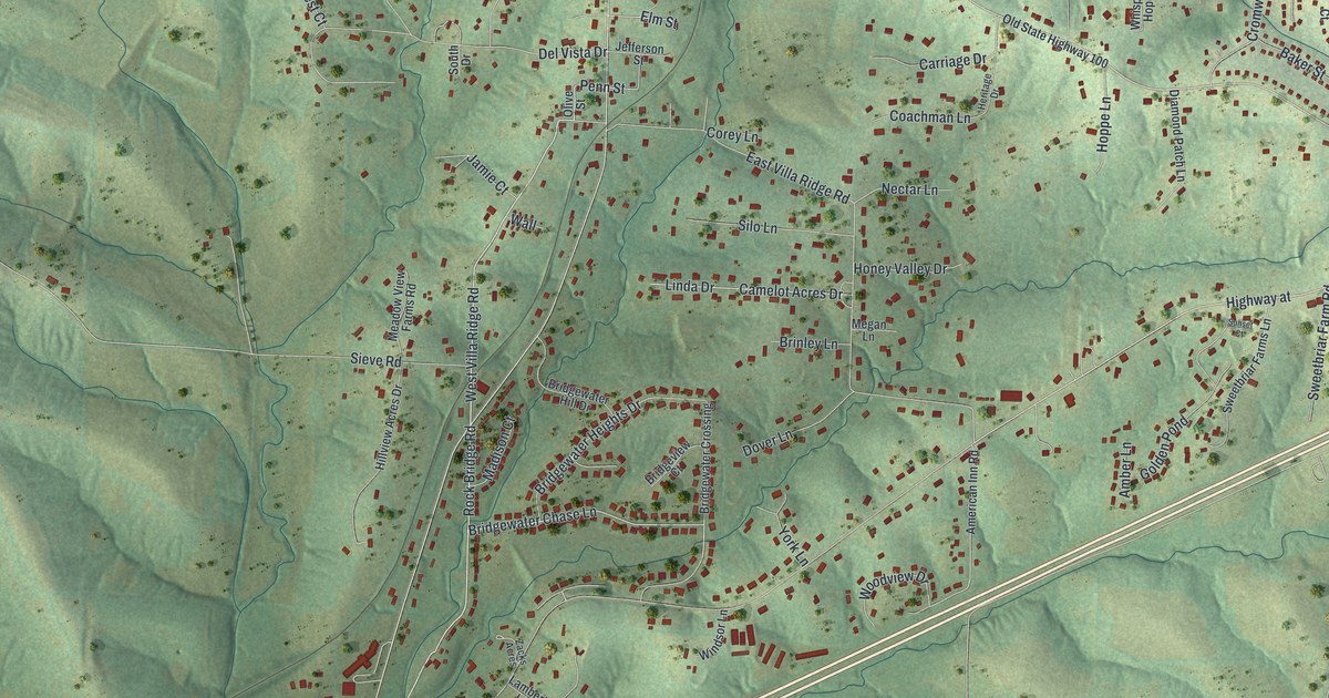
A detailed map of Villa Ridge, Missouri, showing every building in its true location, the roads by name, and shaded topographical relief.
Read More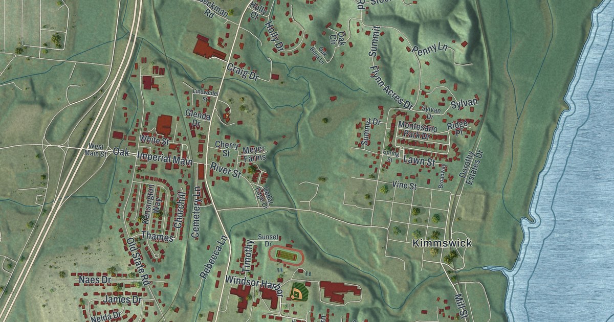
A detailed map of Imperial, Missouri, showing every building in its true location, the roads by name, and shaded topographical relief.
Read More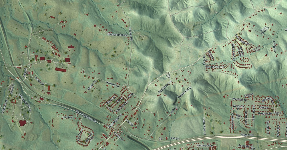
A detailed map of Gray Summit, Missouri, showing every building in its true location, the roads by name, and shaded topographical relief.
Read More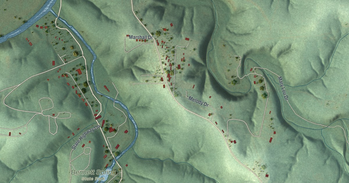
A detailed map of Bennett Springs, Missouri, showing every building in its true location, the roads by name, and shaded topographical relief.
Read More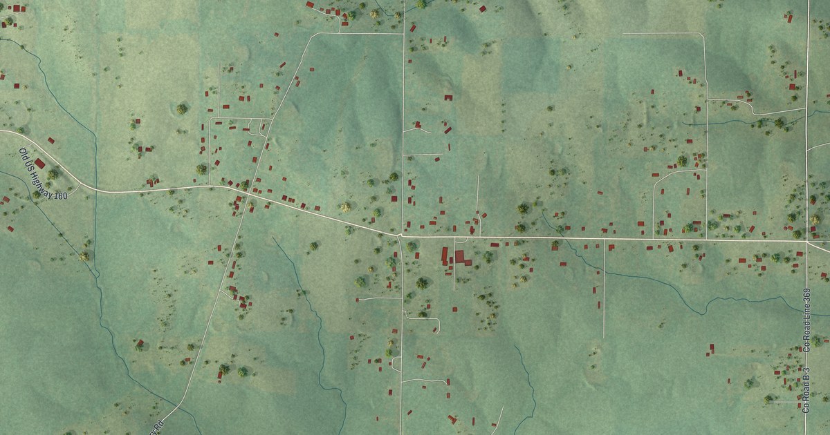
A detailed map of Fairdealing, Missouri, showing every building in its true location, the roads by name, and shaded topographical relief.
Read More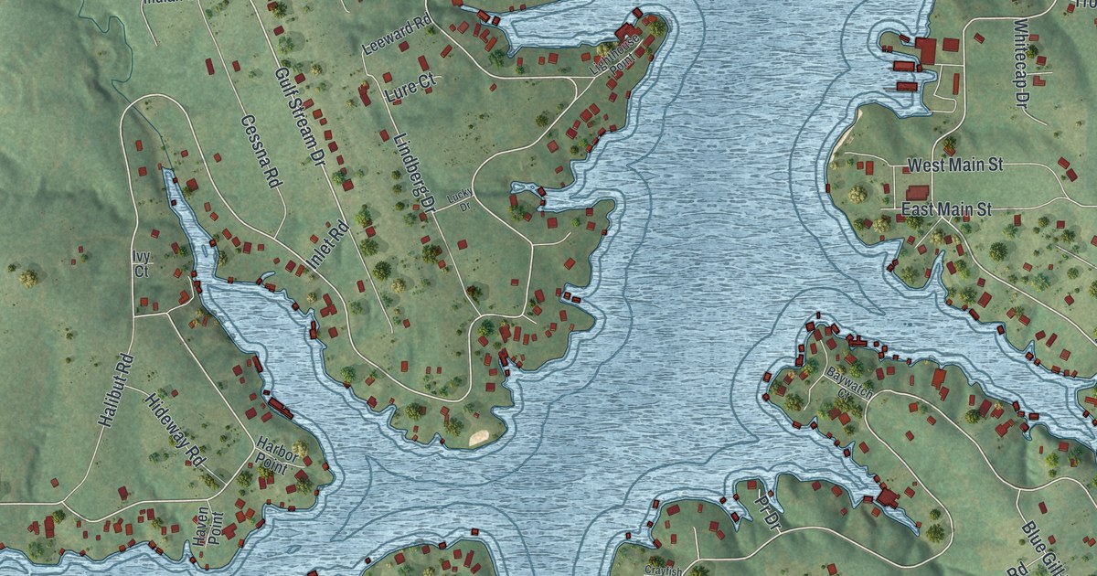
A detailed map of Lake Viking, Missouri, showing every building in its true location, the roads by name, and shaded topographical relief.
Read More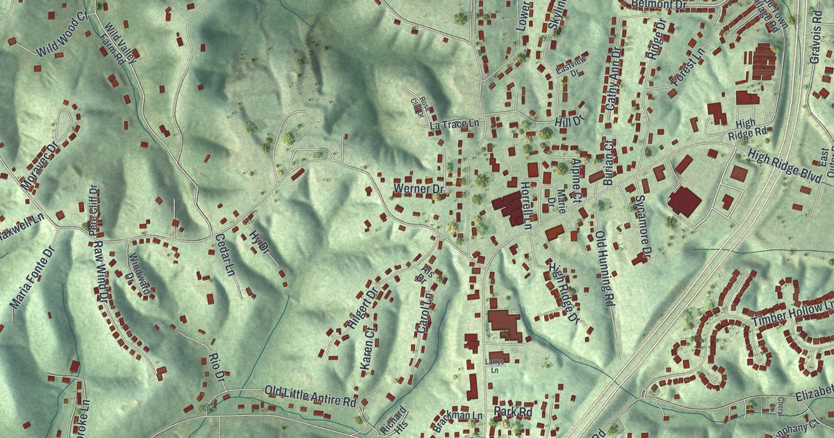
A detailed map of High Ridge, Missouri, showing every building in its true location, the roads by name, and shaded topographical relief.
Read More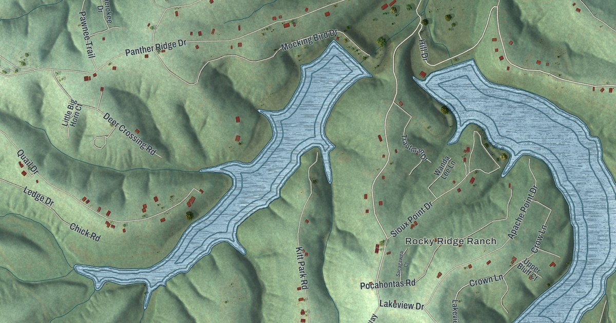
A detailed map of Grayhawk, Missouri, showing every building in its true location, the roads by name, and shaded topographical relief.
Read More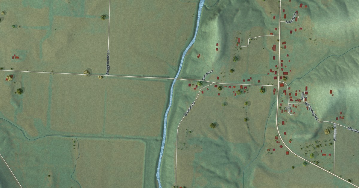
A detailed map of Big Spring, Missouri, showing every building in its true location, the roads by name, and shaded topographical relief.
Read More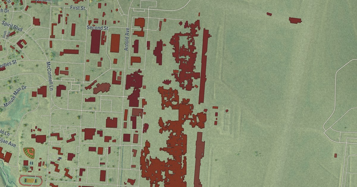
A detailed map of Whiteman AFB, Missouri, showing every building in its true location, the roads by name, and shaded topographical relief.
Read More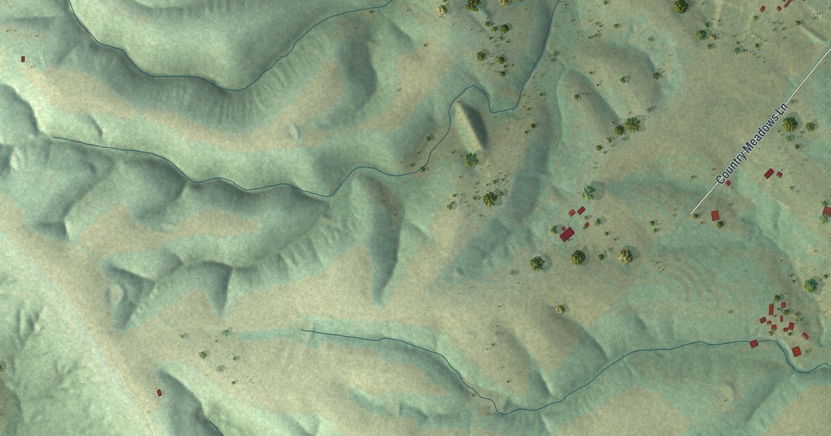
A detailed map of Ozora, Missouri, showing every building in its true location, the roads by name, and shaded topographical relief.
Read More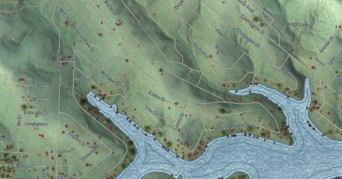
A detailed map of Goose Creek Lake, Missouri, showing every building in its true location, the roads by name, and shaded topographical relief.
Read More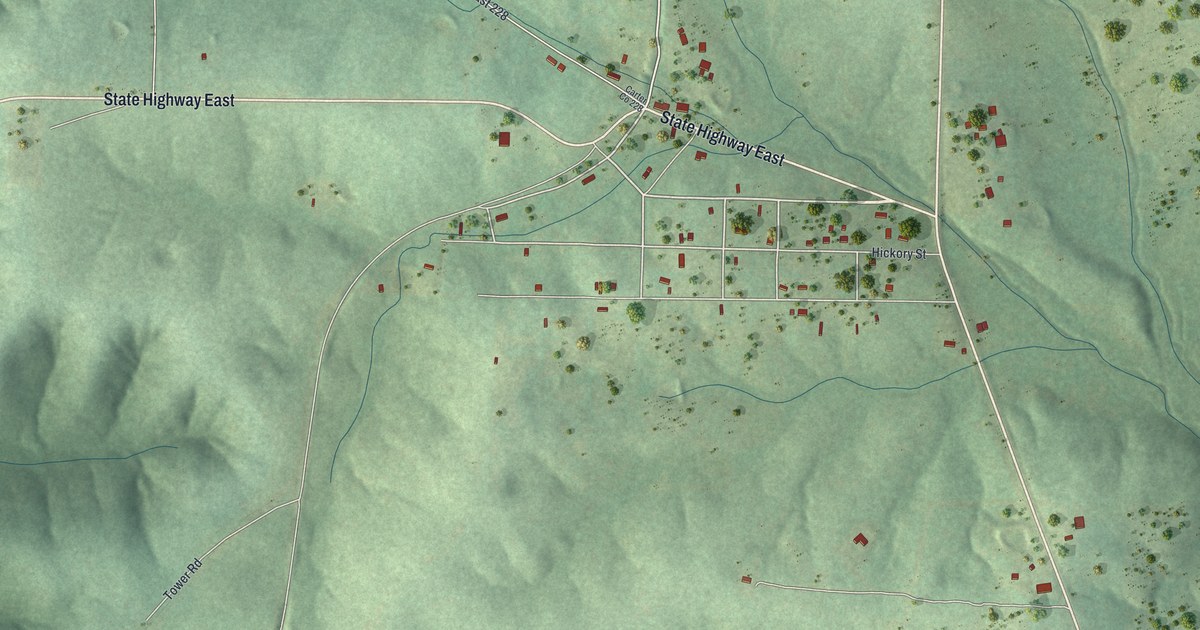
A detailed map of Hunter, Missouri, showing every building in its true location, the roads by name, and shaded topographical relief.
Read More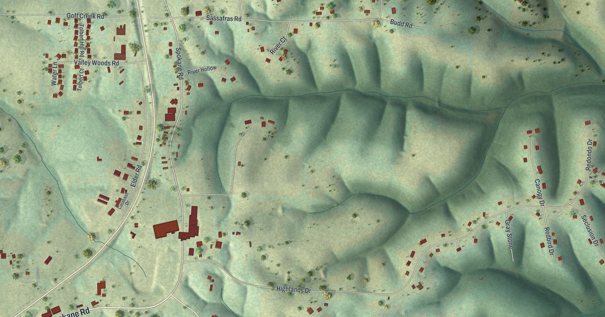
A detailed map of Spokane, Missouri, showing every building in its true location, the roads by name, and shaded topographical relief.
Read More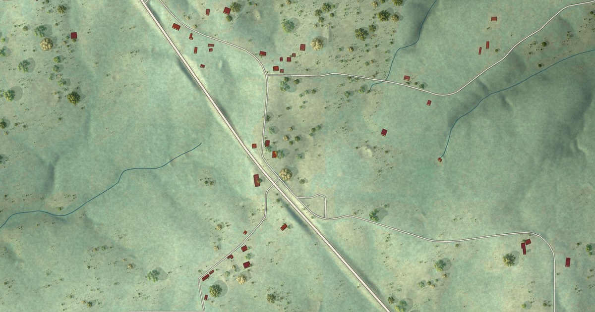
A detailed map of Wasola, Missouri, showing every building in its true location, the roads by name, and shaded topographical relief.
Read More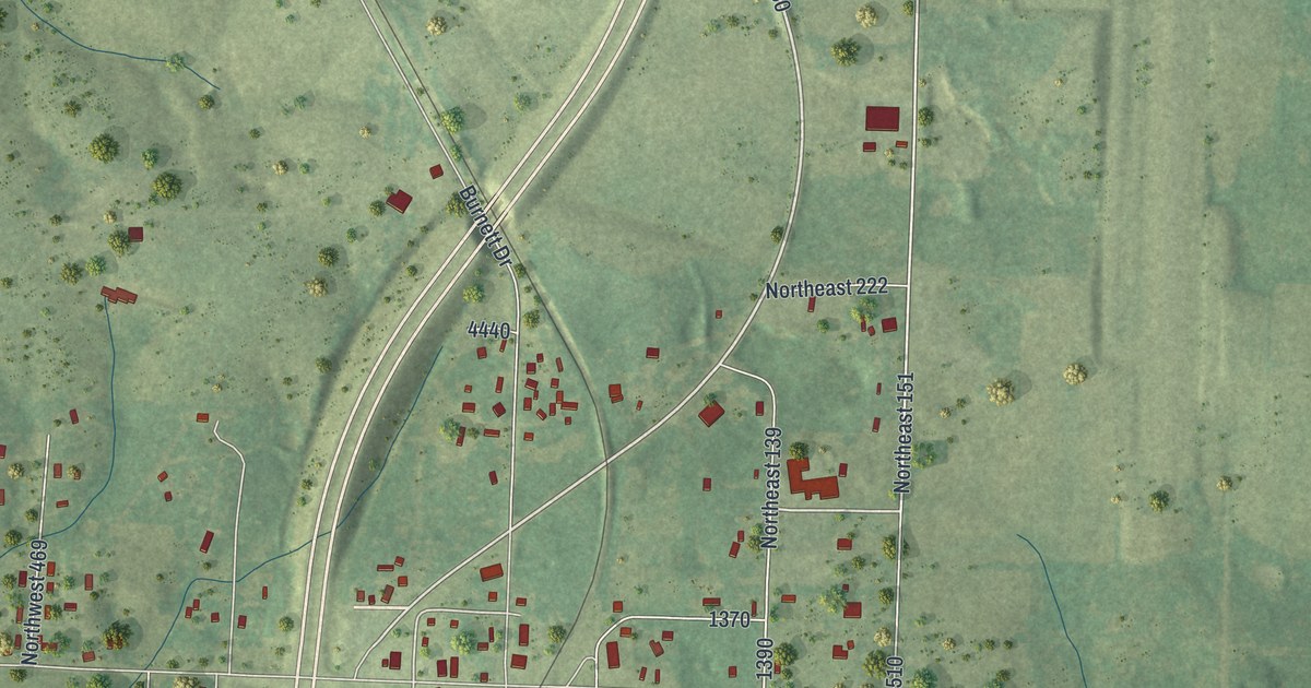
A detailed map of Pomona, Missouri, showing every building in its true location, the roads by name, and shaded topographical relief.
Read More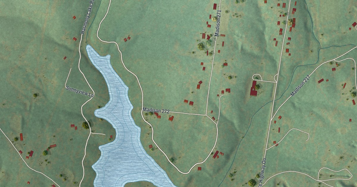
A detailed map of Mine La Motte, Missouri, showing every building in its true location, the roads by name, and shaded topographical relief.
Read More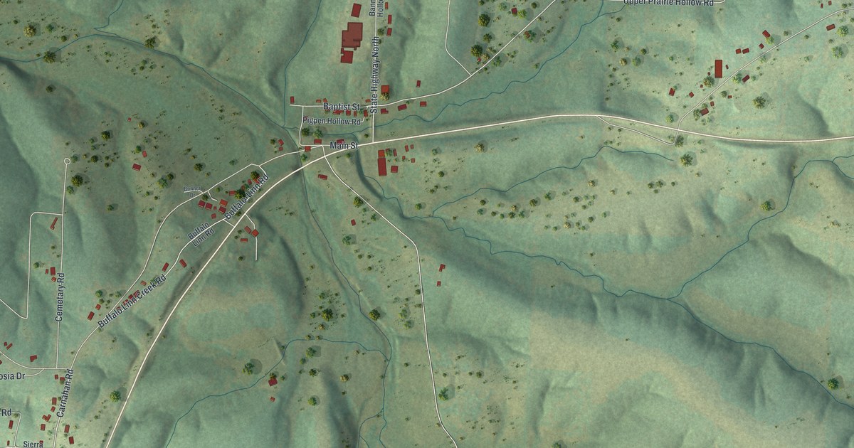
A detailed map of Macks Creek, Missouri, showing every building in its true location, the roads by name, and shaded topographical relief.
Read More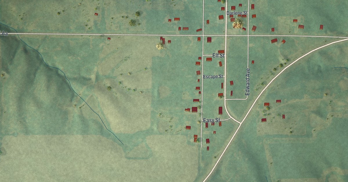
A detailed map of Ravanna, Missouri, showing every building in its true location, the roads by name, and shaded topographical relief.
Read More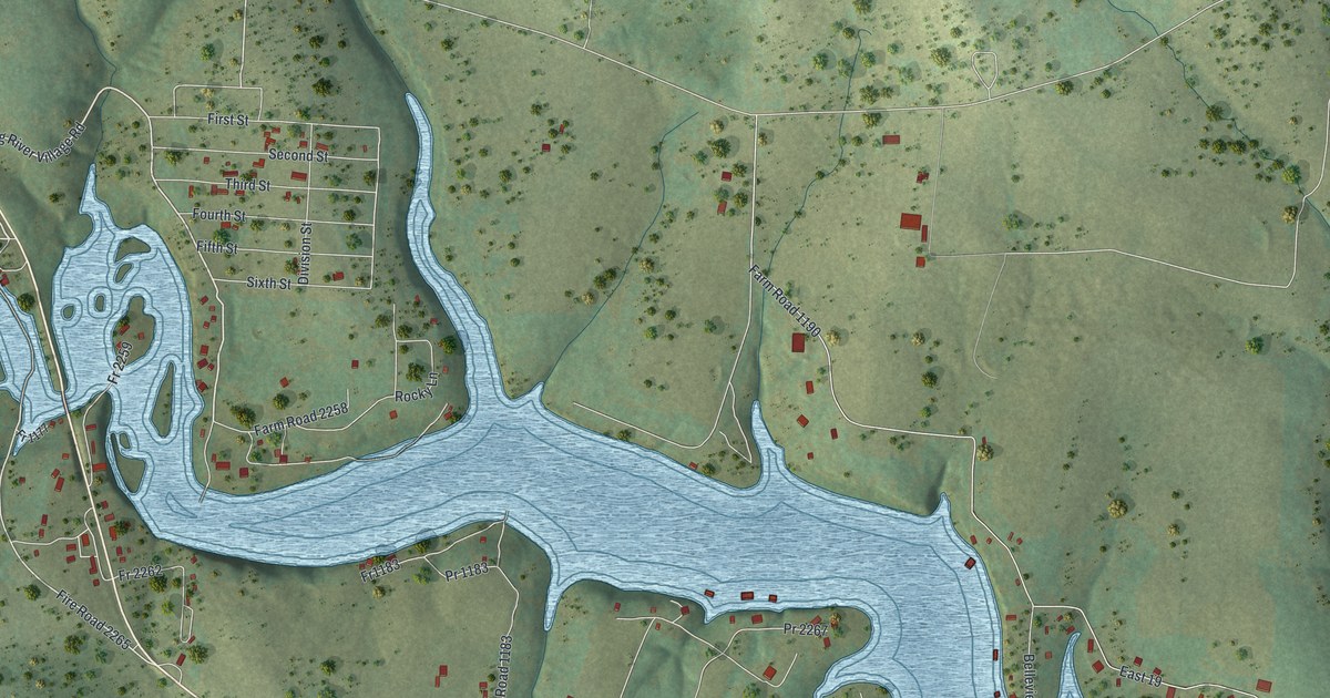
A detailed map of Eagle Rock, Missouri, showing every building in its true location, the roads by name, and shaded topographical relief.
Read More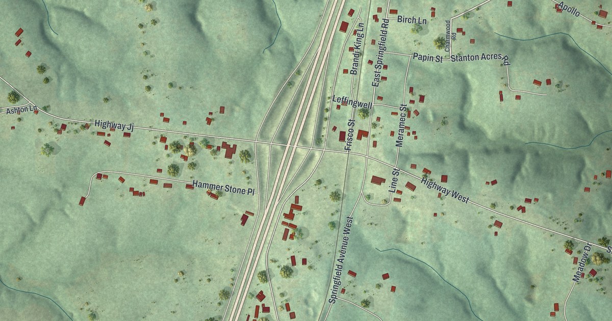
A detailed map of Stanton, Missouri, showing every building in its true location, the roads by name, and shaded topographical relief.
Read More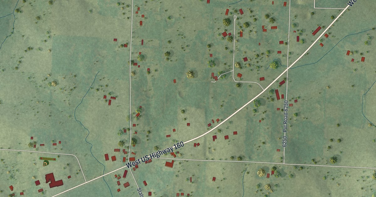
A detailed map of South Fork, Missouri, showing every building in its true location, the roads by name, and shaded topographical relief.
Read More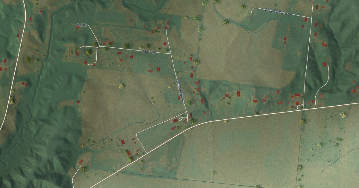
A detailed map of Dutchtown, Missouri, showing every building in its true location, the roads by name, and shaded topographical relief.
Read More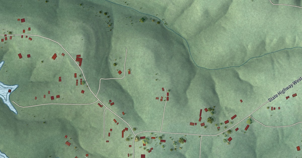
A detailed map of Pontiac, Missouri, showing every building in its true location, the roads by name, and shaded topographical relief.
Read More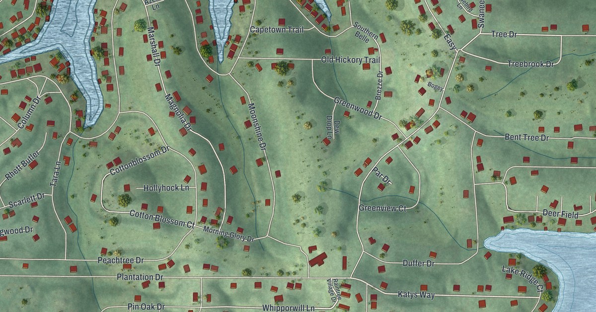
A detailed map of Raintree Plantation, Missouri, showing every building in its true location, the roads by name, and shaded topographical relief.
Read More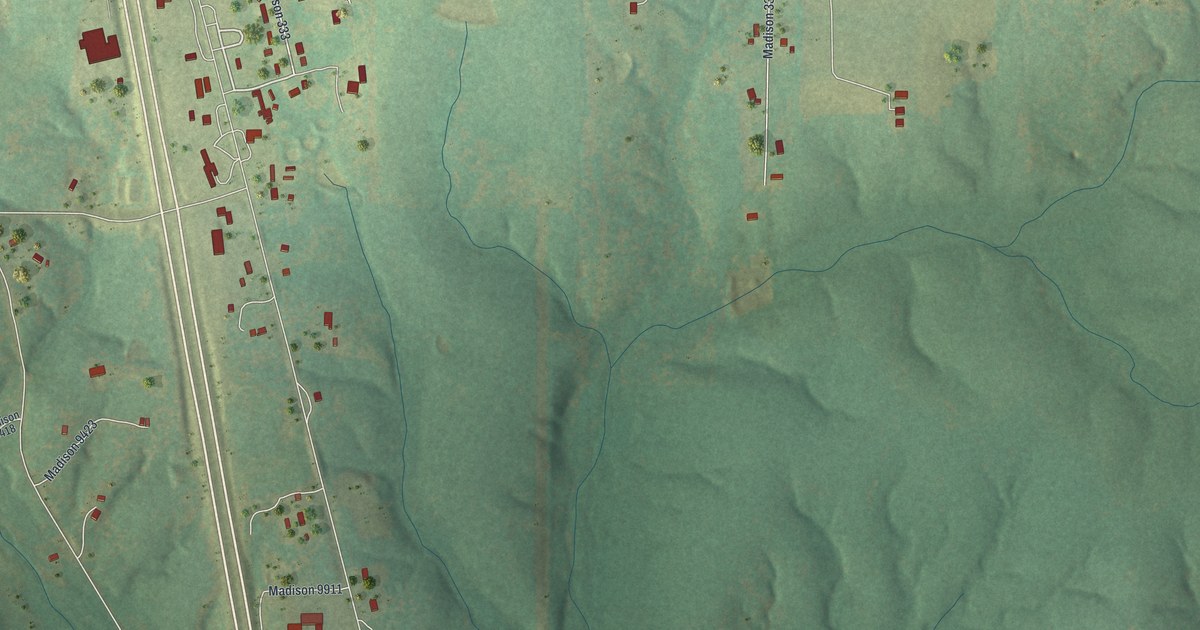
A detailed map of Cherokee Pass, Missouri, showing every building in its true location, the roads by name, and shaded topographical relief.
Read More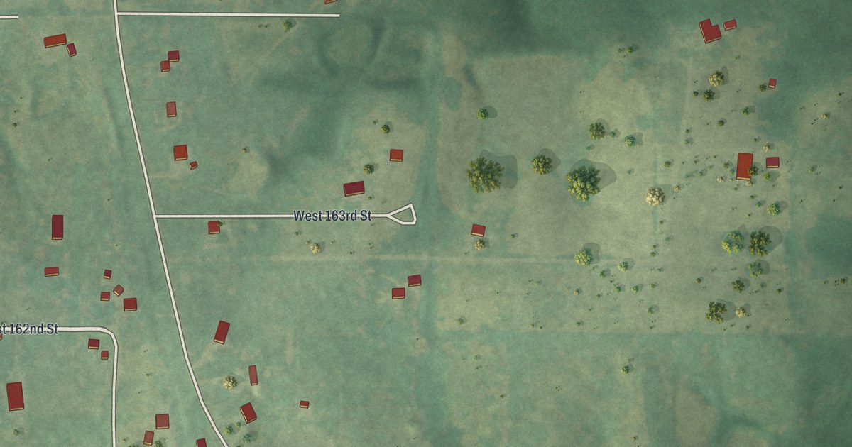
A detailed map of Vibbard, Missouri, showing every building in its true location, the roads by name, and shaded topographical relief.
Read More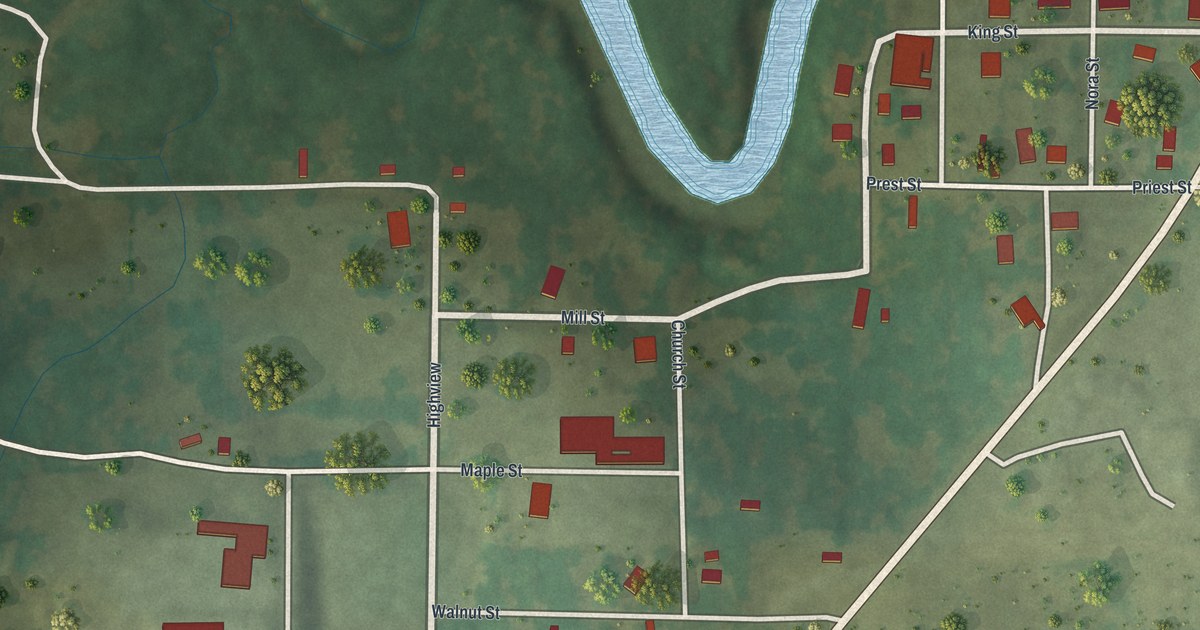
A detailed map of Zalma, Missouri, showing every building in its true location, the roads by name, and shaded topographical relief.
Read More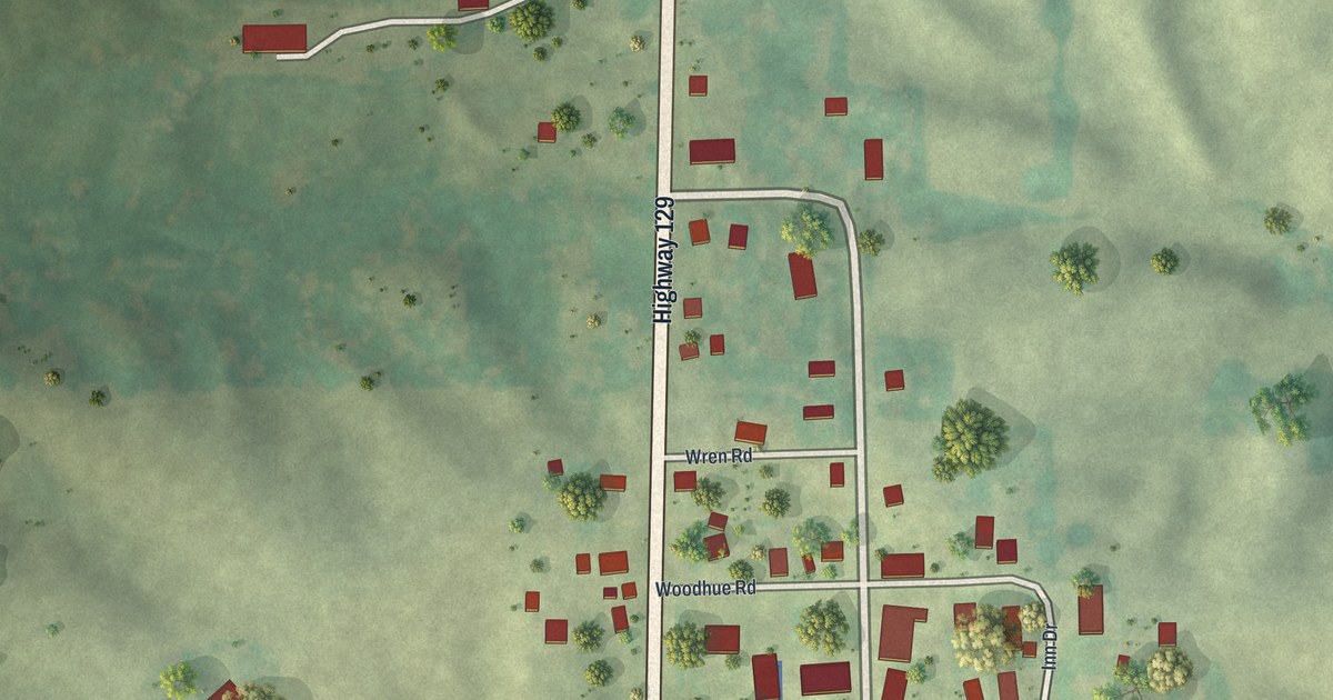
A detailed map of Winigan, Missouri, showing every building in its true location, the roads by name, and shaded topographical relief.
Read More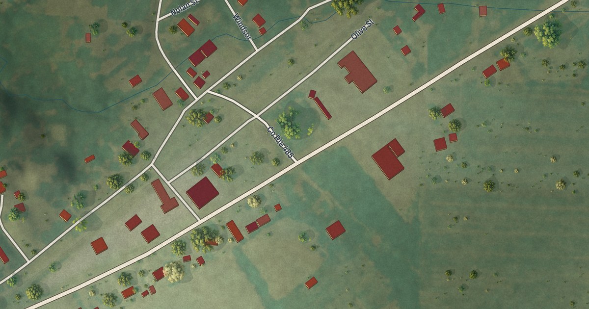
A detailed map of Tebbetts, Missouri, showing every building in its true location, the roads by name, and shaded topographical relief.
Read More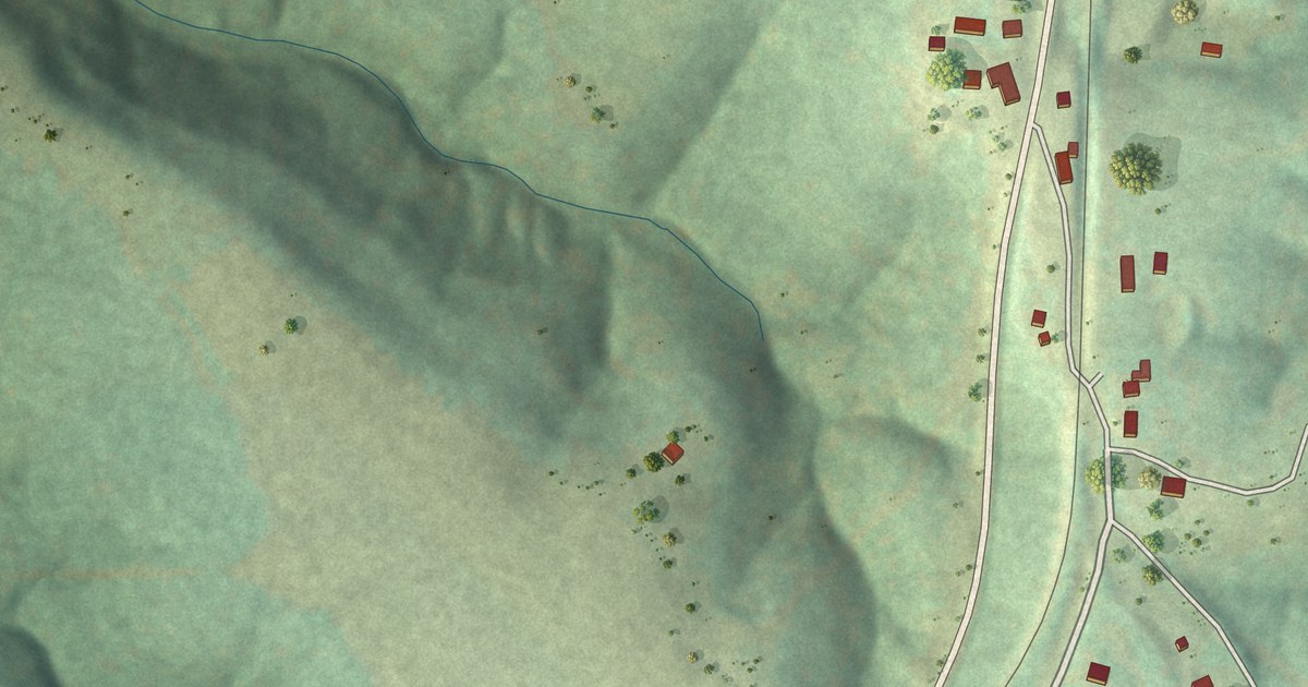
A detailed map of Weingarten, Missouri, showing every building in its true location, the roads by name, and shaded topographical relief.
Read More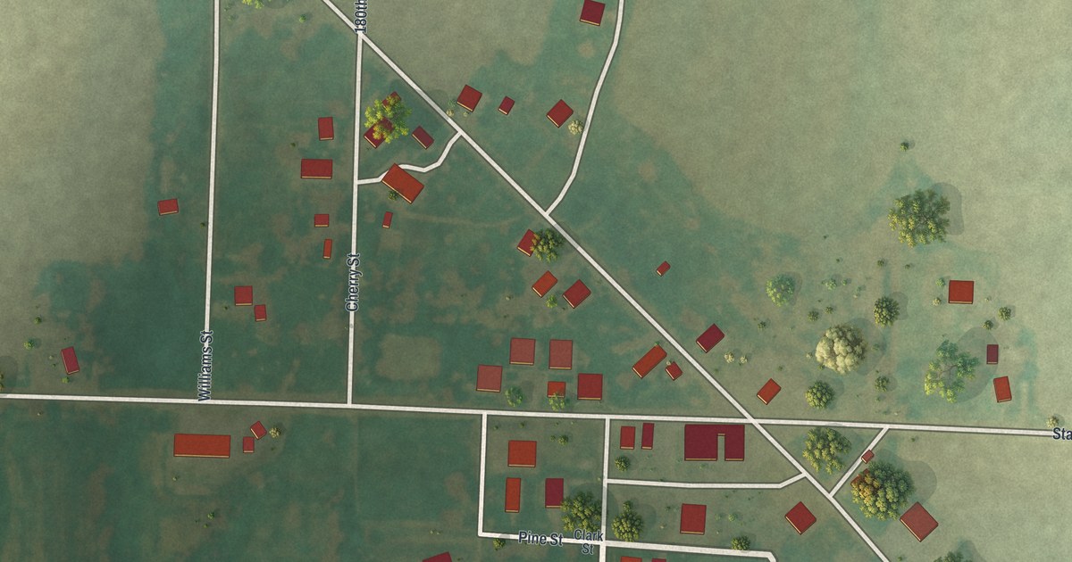
A detailed map of Williamstown, Missouri, showing every building in its true location, the roads by name, and shaded topographical relief.
Read More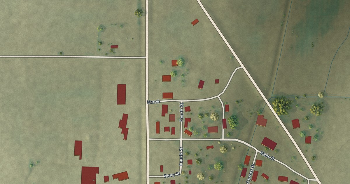
A detailed map of White Oak, Missouri, showing every building in its true location, the roads by name, and shaded topographical relief.
Read More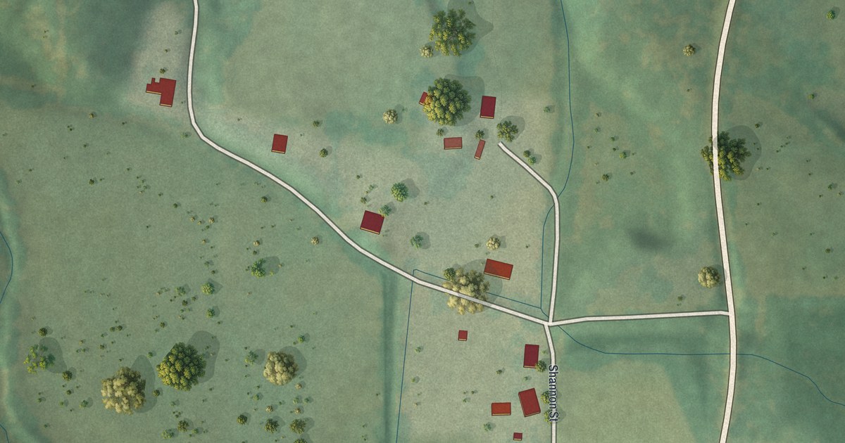
A detailed map of Thomasville, Missouri, showing every building in its true location, the roads by name, and shaded topographical relief.
Read More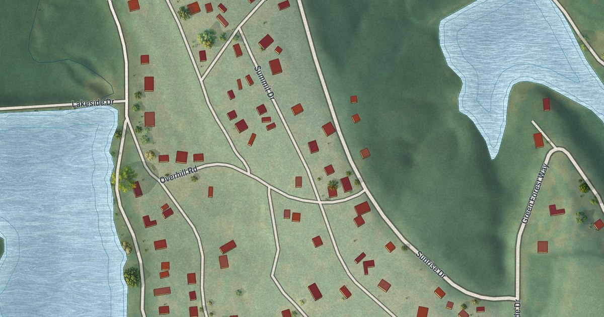
A detailed map of Tarsney Lakes, Missouri, showing every building in its true location, the roads by name, and shaded topographical relief.
Read More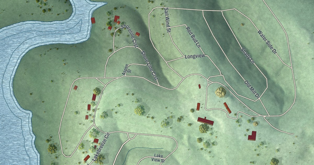
A detailed map of Sundown, Missouri, showing every building in its true location, the roads by name, and shaded topographical relief.
Read More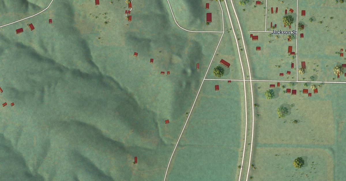
A detailed map of St. Francisville, Missouri, showing every building in its true location, the roads by name, and shaded topographical relief.
Read More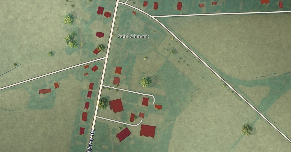
A detailed map of St. Clement, Missouri, showing every building in its true location, the roads by name, and shaded topographical relief.
Read More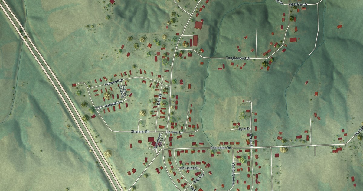
A detailed map of Shakertowne, Missouri, showing every building in its true location, the roads by name, and shaded topographical relief.
Read More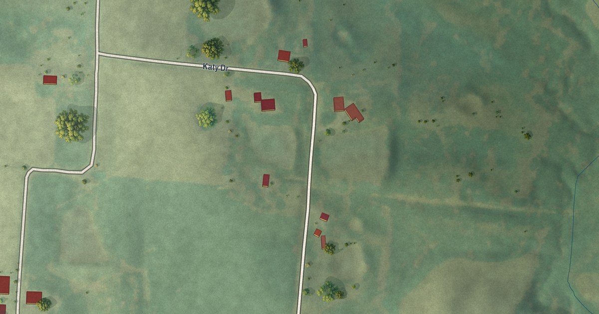
A detailed map of St. Catharine, Missouri, showing every building in its true location, the roads by name, and shaded topographical relief.
Read More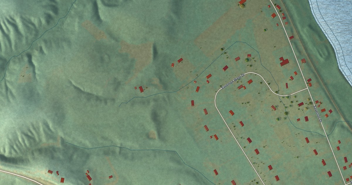
A detailed map of Saverton, Missouri, showing every building in its true location, the roads by name, and shaded topographical relief.
Read More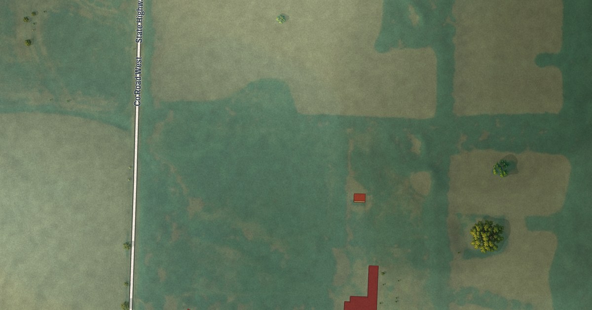
A detailed map of Prairie Hill, Missouri, showing every building in its true location, the roads by name, and shaded topographical relief.
Read More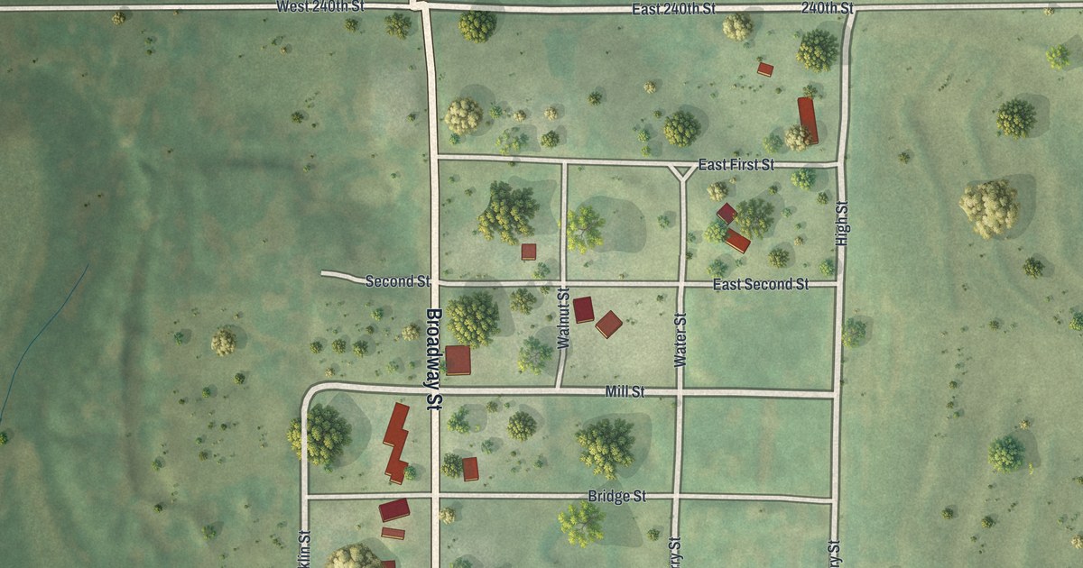
A detailed map of Quitman, Missouri, showing every building in its true location, the roads by name, and shaded topographical relief.
Read More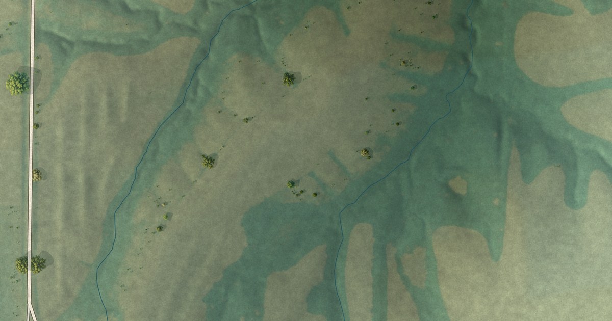
A detailed map of Plevna, Missouri, showing every building in its true location, the roads by name, and shaded topographical relief.
Read More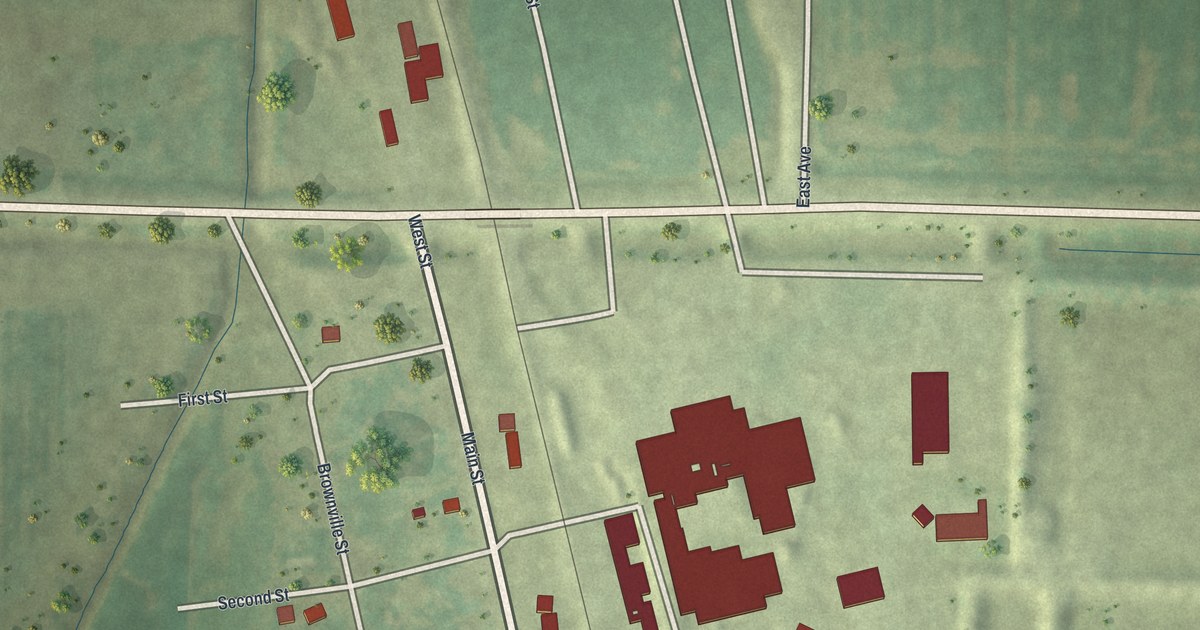
A detailed map of Phelps City, Missouri, showing every building in its true location, the roads by name, and shaded topographical relief.
Read More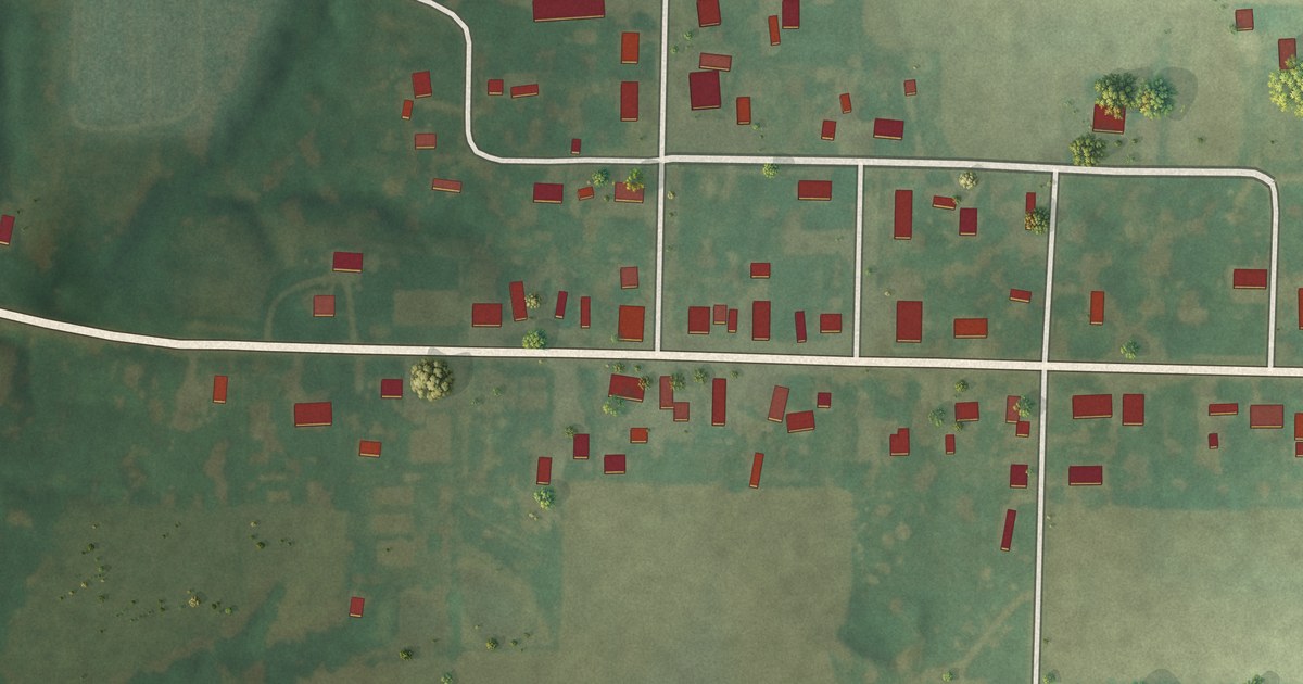
A detailed map of Philadelphia, Missouri, showing every building in its true location, the roads by name, and shaded topographical relief.
Read More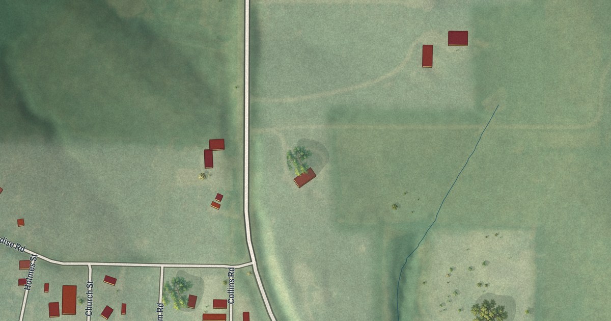
A detailed map of Paradise, Missouri, showing every building in its true location, the roads by name, and shaded topographical relief.
Read More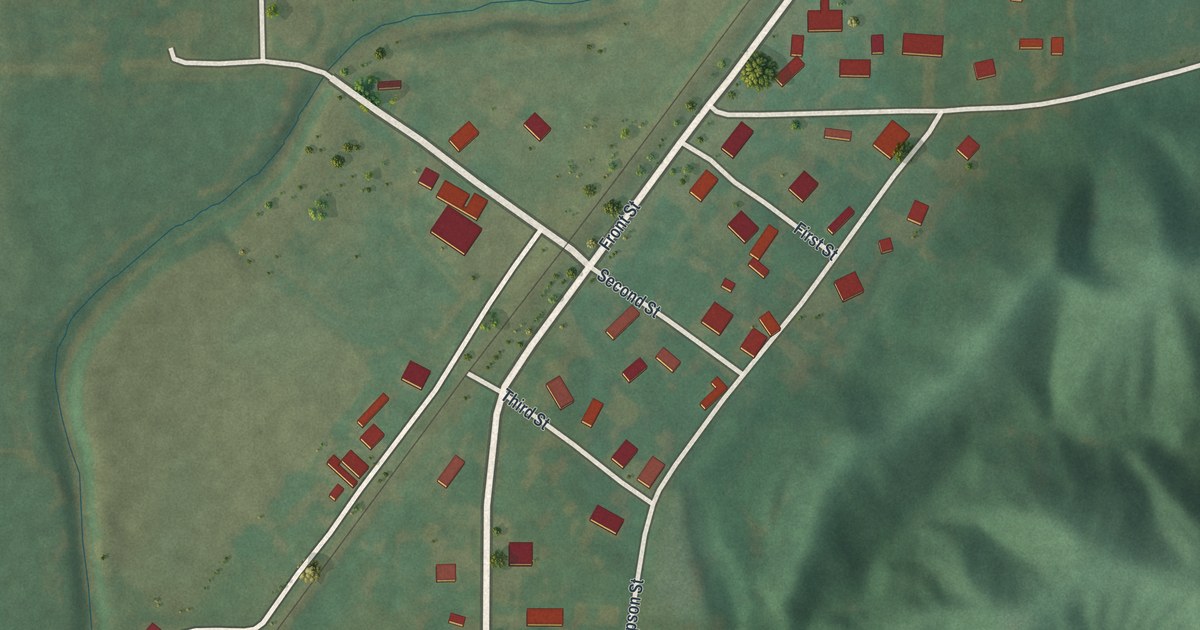
A detailed map of Perkins, Missouri, showing every building in its true location, the roads by name, and shaded topographical relief.
Read More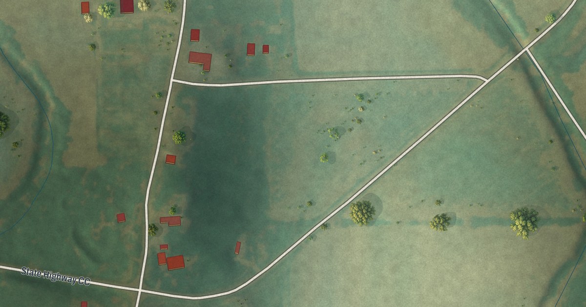
A detailed map of New Wells, Missouri, showing every building in its true location, the roads by name, and shaded topographical relief.
Read More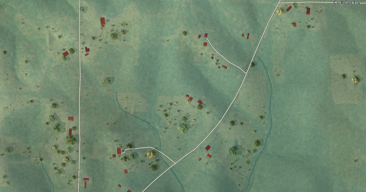
A detailed map of Oxly, Missouri, showing every building in its true location, the roads by name, and shaded topographical relief.
Read More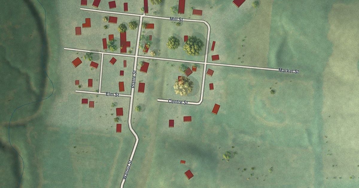
A detailed map of New Market, Missouri, showing every building in its true location, the roads by name, and shaded topographical relief.
Read More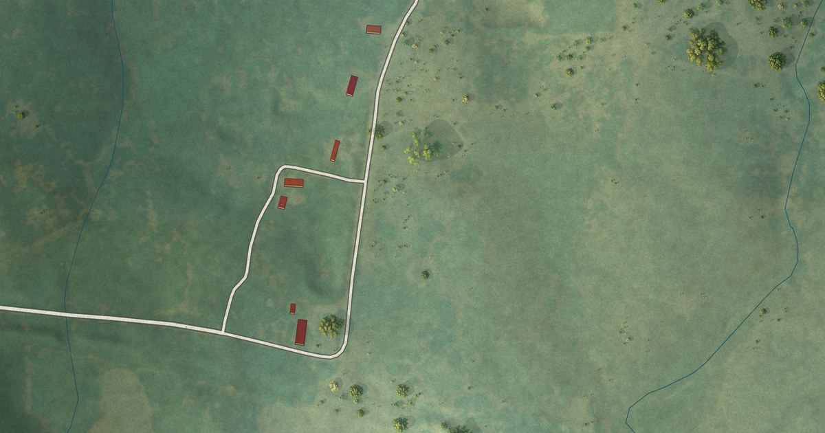
A detailed map of Montier, Missouri, showing every building in its true location, the roads by name, and shaded topographical relief.
Read More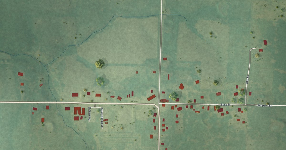
A detailed map of Montreal, Missouri, showing every building in its true location, the roads by name, and shaded topographical relief.
Read More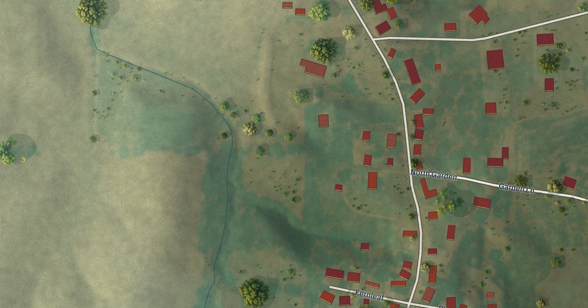
A detailed map of New Hamburg, Missouri, showing every building in its true location, the roads by name, and shaded topographical relief.
Read More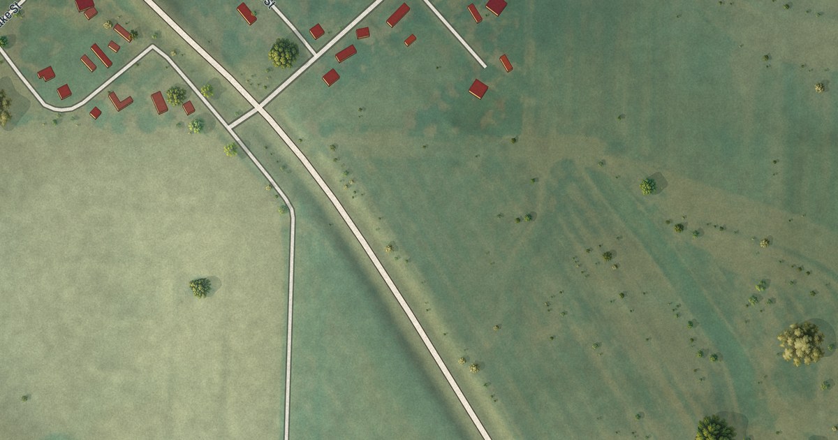
A detailed map of Medill, Missouri, showing every building in its true location, the roads by name, and shaded topographical relief.
Read More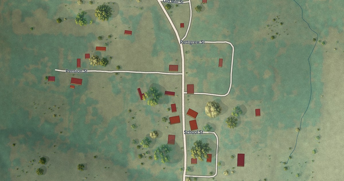
A detailed map of Latham, Missouri, showing every building in its true location, the roads by name, and shaded topographical relief.
Read More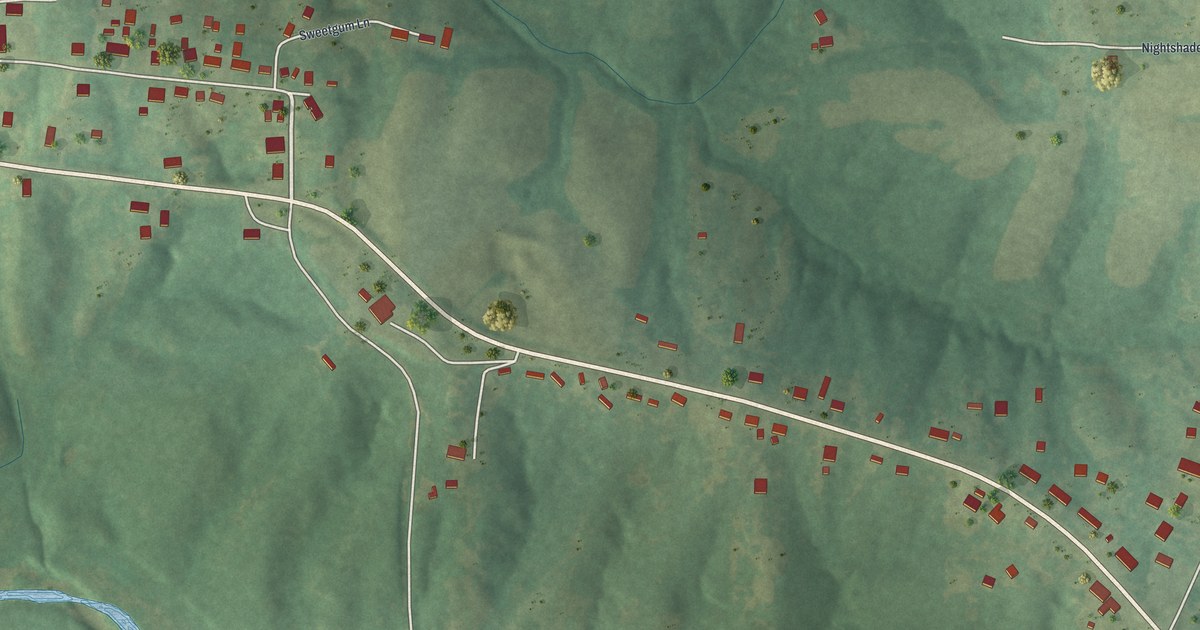
A detailed map of Millersville, Missouri, showing every building in its true location, the roads by name, and shaded topographical relief.
Read More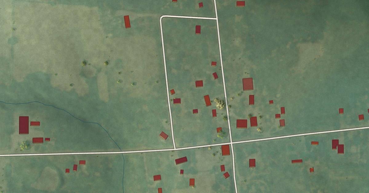
A detailed map of Middle Grove, Missouri, showing every building in its true location, the roads by name, and shaded topographical relief.
Read More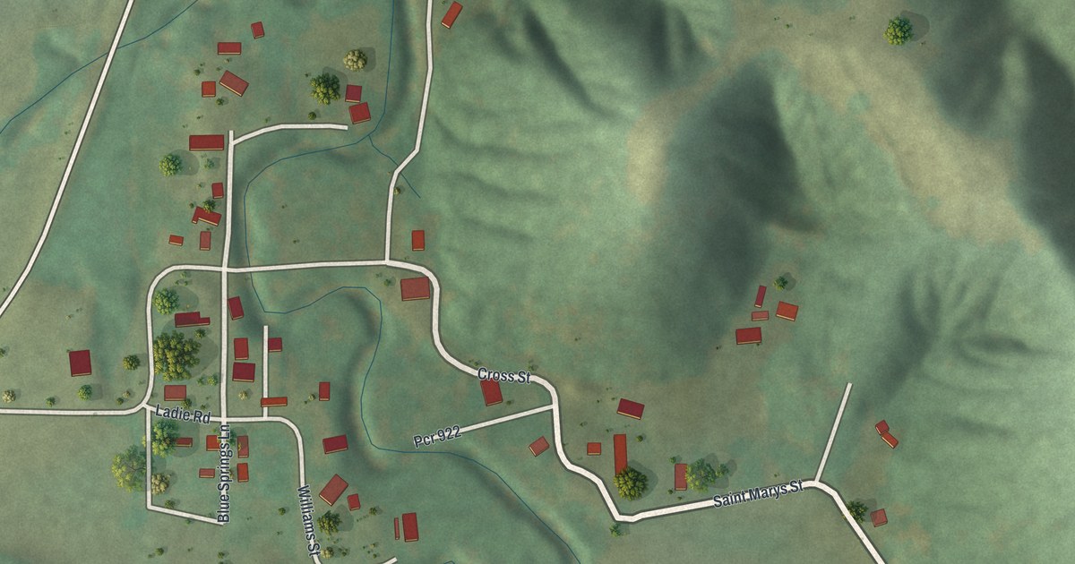
A detailed map of Lithium, Missouri, showing every building in its true location, the roads by name, and shaded topographical relief.
Read More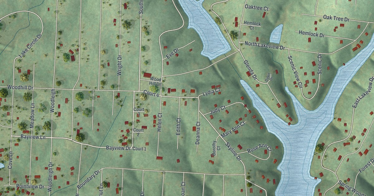
A detailed map of Lake Timberline, Missouri, showing every building in its true location, the roads by name, and shaded topographical relief.
Read More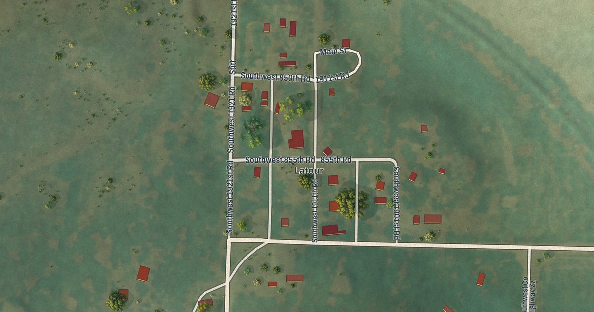
A detailed map of La Tour, Missouri, showing every building in its true location, the roads by name, and shaded topographical relief.
Read More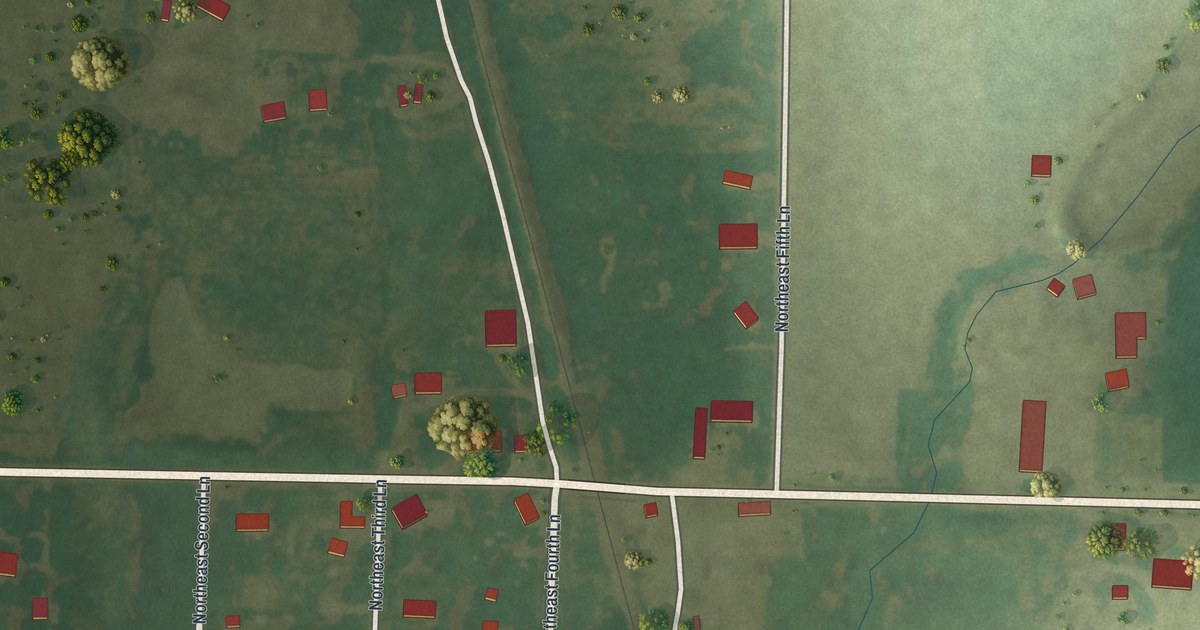
A detailed map of Irwin, Missouri, showing every building in its true location, the roads by name, and shaded topographical relief.
Read More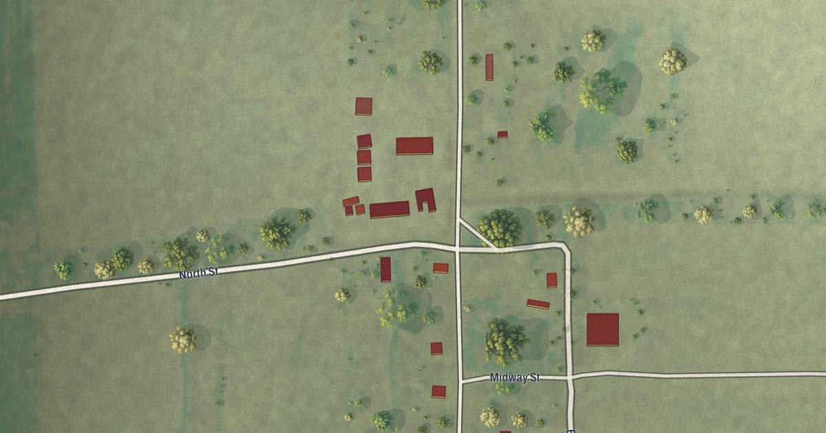
A detailed map of Hollywood, Missouri, showing every building in its true location, the roads by name, and shaded topographical relief.
Read More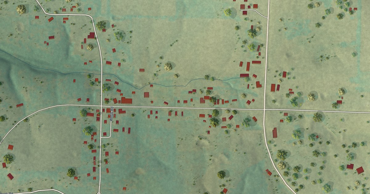
A detailed map of Grovespring, Missouri, showing every building in its true location, the roads by name, and shaded topographical relief.
Read More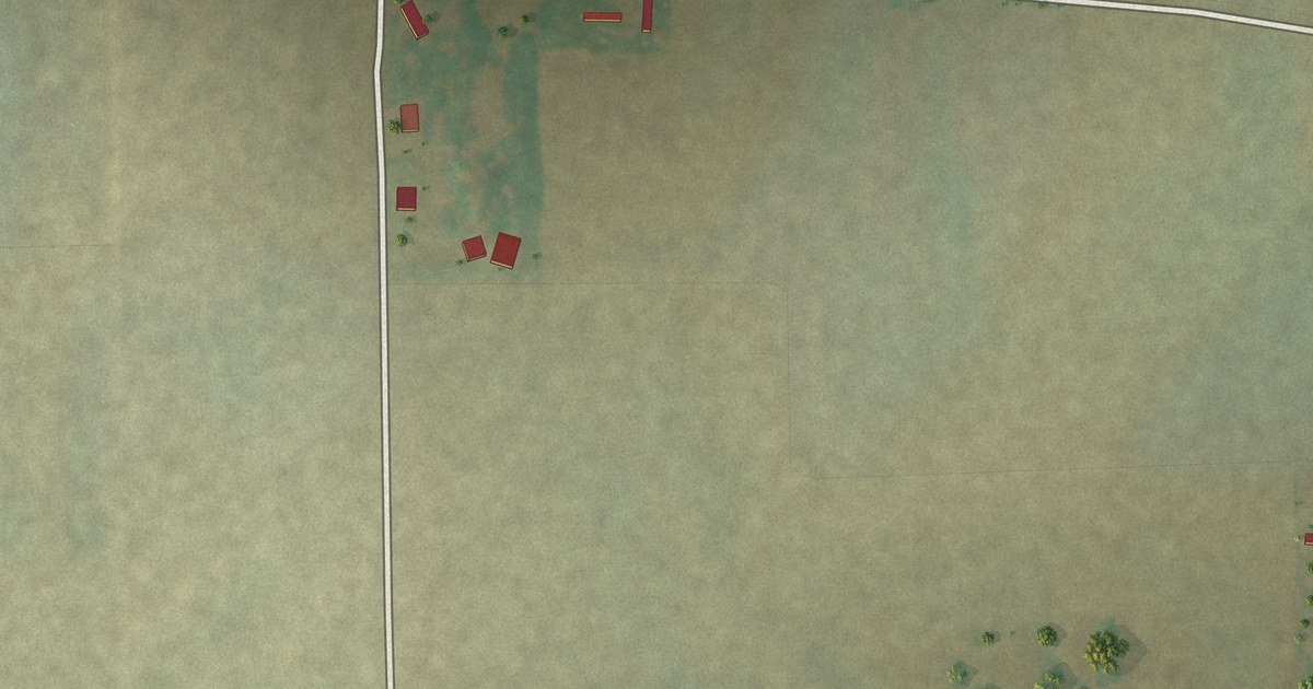
A detailed map of Hayward, Missouri, showing every building in its true location, the roads by name, and shaded topographical relief.
Read More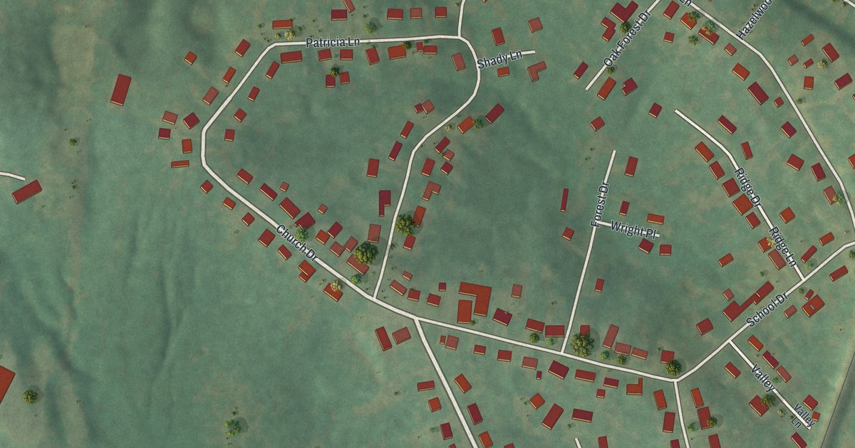
A detailed map of Horine, Missouri, showing every building in its true location, the roads by name, and shaded topographical relief.
Read More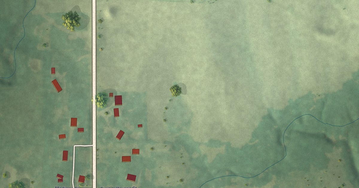
A detailed map of Grayson, Missouri, showing every building in its true location, the roads by name, and shaded topographical relief.
Read More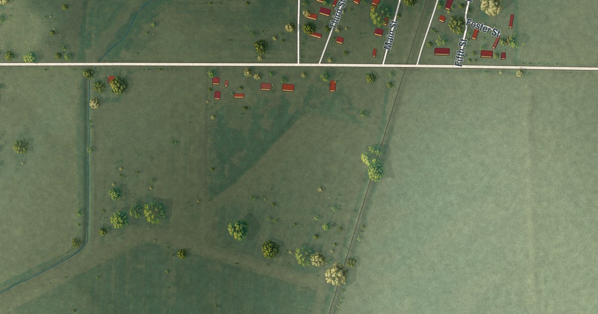
A detailed map of Harviell, Missouri, showing every building in its true location, the roads by name, and shaded topographical relief.
Read More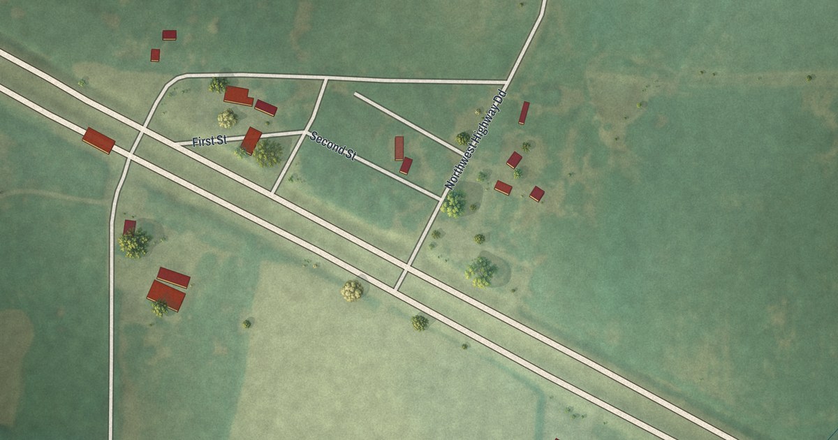
A detailed map of Hartwell, Missouri, showing every building in its true location, the roads by name, and shaded topographical relief.
Read More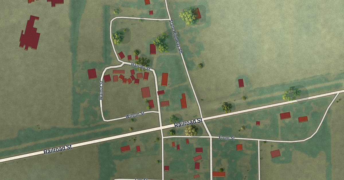
A detailed map of Grayridge, Missouri, showing every building in its true location, the roads by name, and shaded topographical relief.
Read More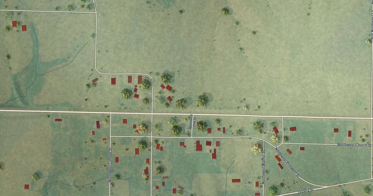
A detailed map of Edinburg, Missouri, showing every building in its true location, the roads by name, and shaded topographical relief.
Read More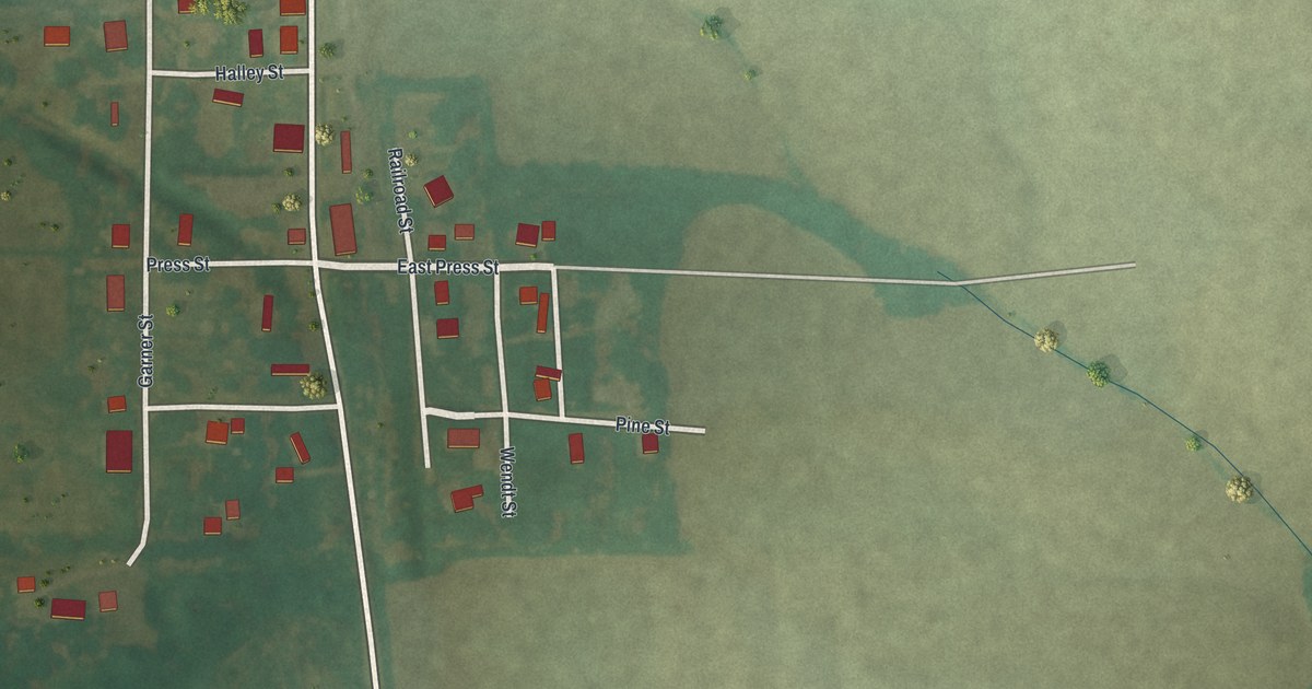
A detailed map of Excello, Missouri, showing every building in its true location, the roads by name, and shaded topographical relief.
Read More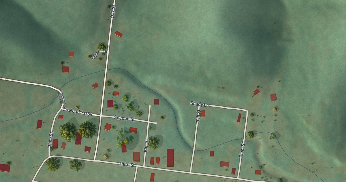
A detailed map of Fremont, Missouri, showing every building in its true location, the roads by name, and shaded topographical relief.
Read More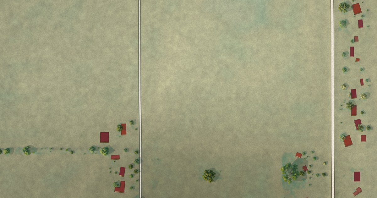
A detailed map of Frisbee, Missouri, showing every building in its true location, the roads by name, and shaded topographical relief.
Read More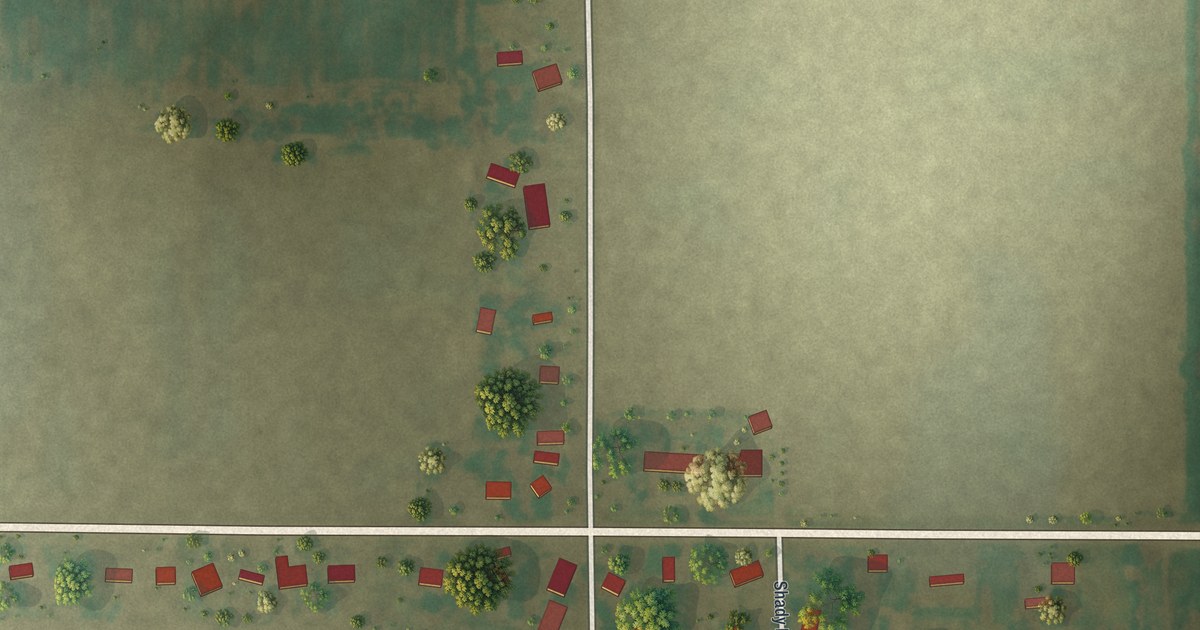
A detailed map of Denton, Missouri, showing every building in its true location, the roads by name, and shaded topographical relief.
Read More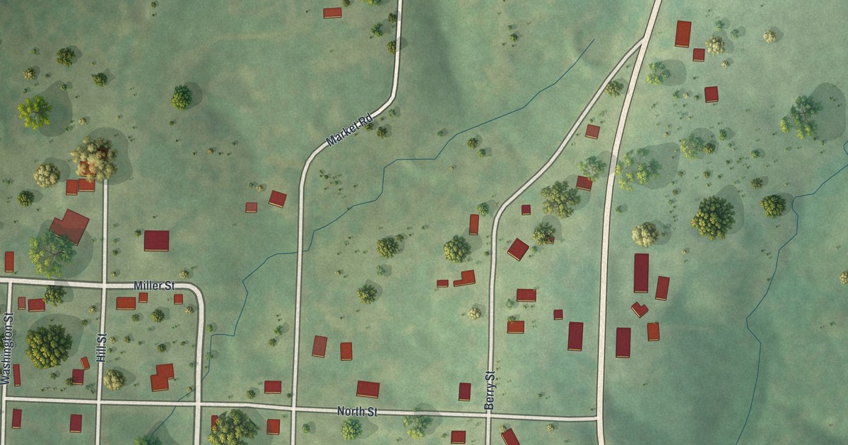
A detailed map of Eugene, Missouri, showing every building in its true location, the roads by name, and shaded topographical relief.
Read More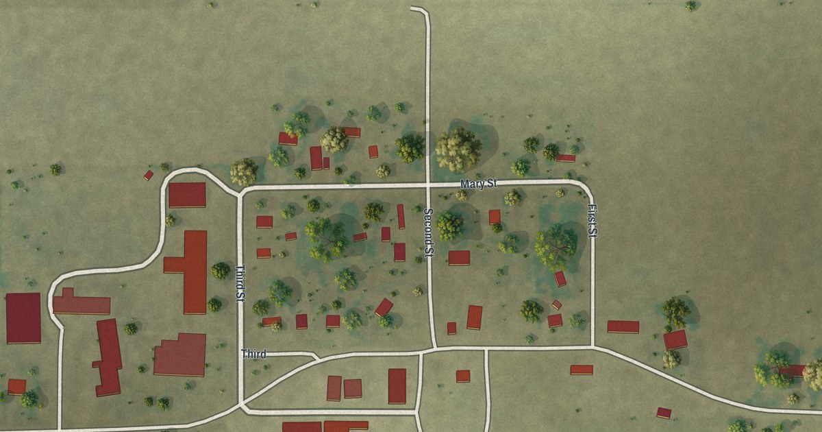
A detailed map of Deering, Missouri, showing every building in its true location, the roads by name, and shaded topographical relief.
Read More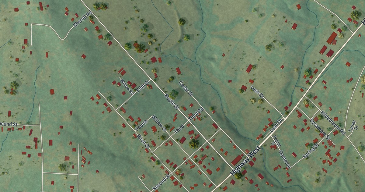
A detailed map of Doe Run, Missouri, showing every building in its true location, the roads by name, and shaded topographical relief.
Read More