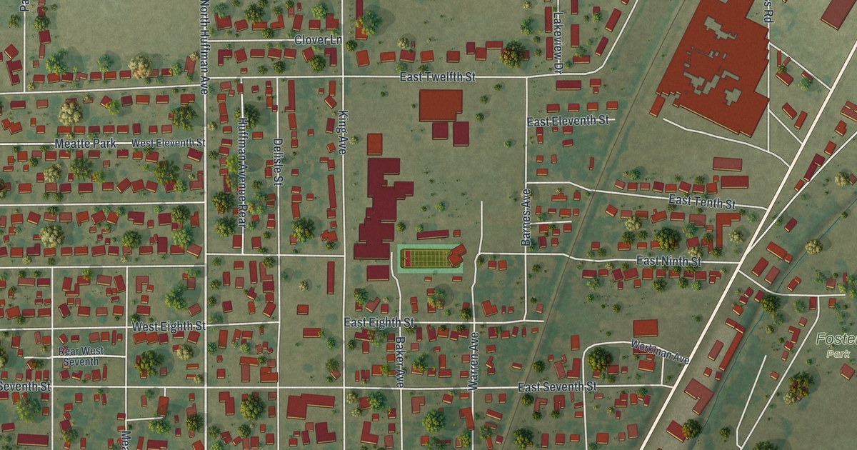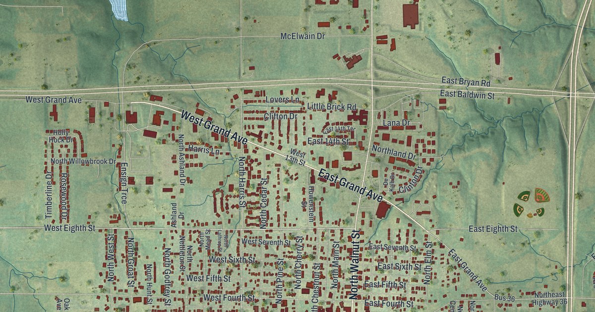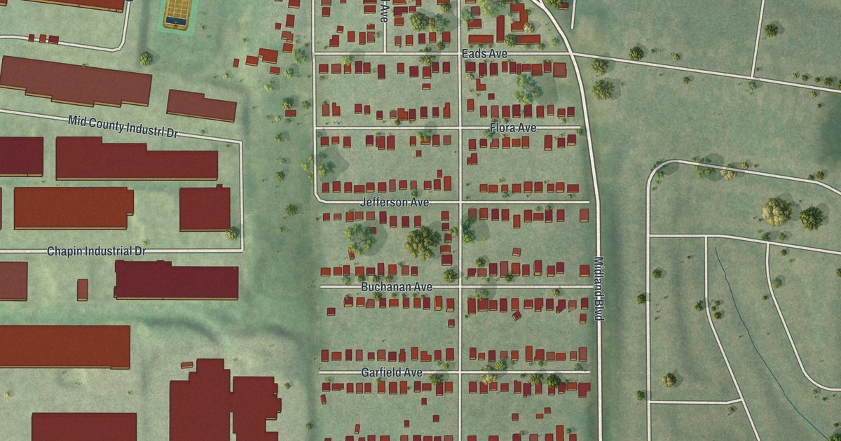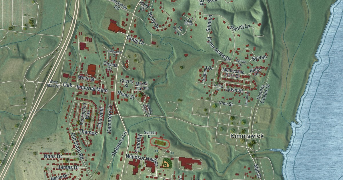
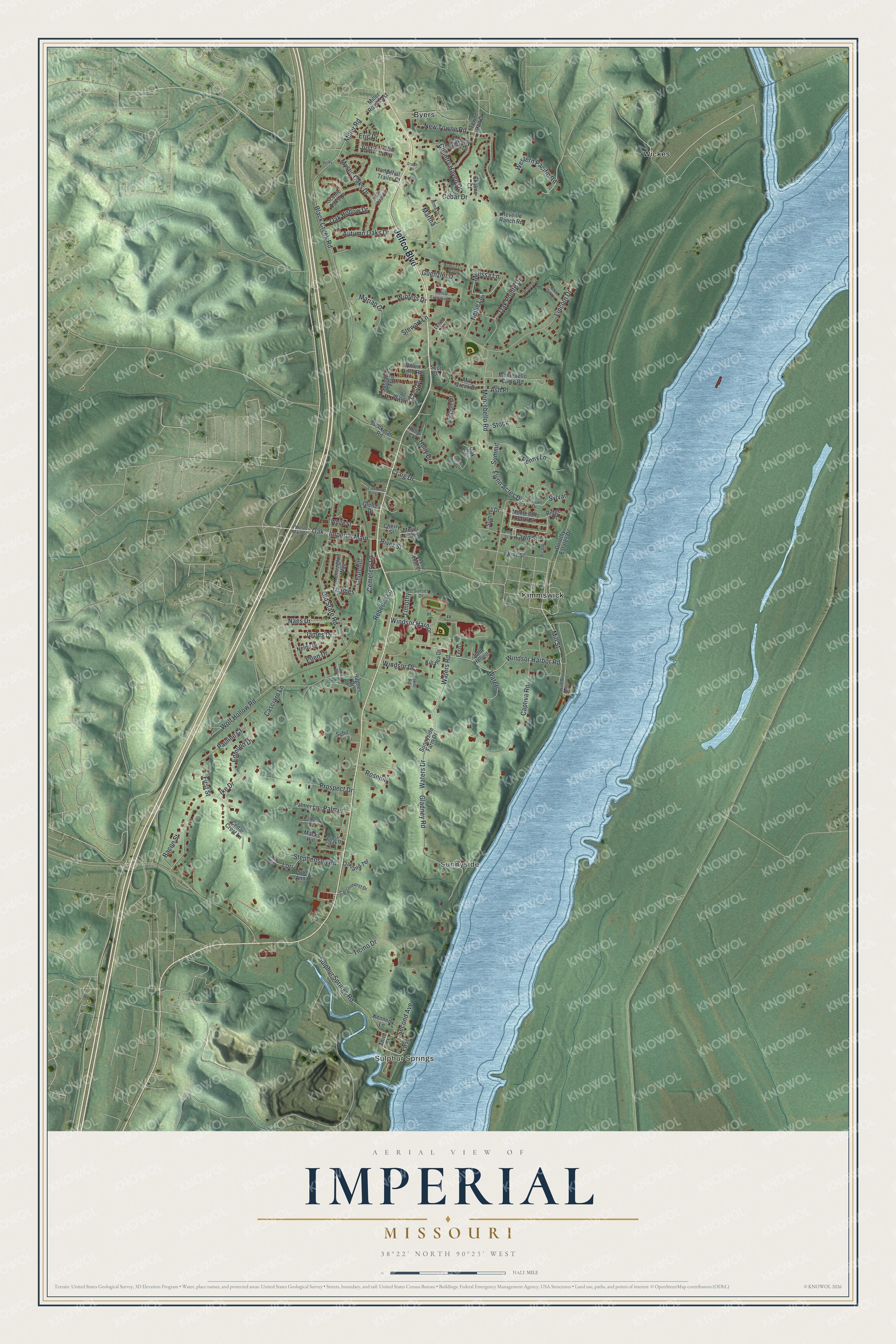
This beautifully detailed map of Imperial, Missouri was created in 2026 using aerial imagery combined with modern topographical, census, street and landmark data. It's a modern aerial view of Imperial in Jefferson County, Missouri, that combines modern data with a vintage aesthetic. The roads feature printed names, and if you look closely you can find your exact house accurately shown in its correct location.
Explore an aerial view of Imperial, Missouri
On this map you'll find Sulphur Springs, Sunnyside, Wickes, Kimmswick, Byers, Jeffco Boulevard, Windsor Harbor Road, Waters Road, Mill Street, Windsor Harbor, Imperial Main, Waters Drive, and more. Each red shape is a building, so zoom in on the preview and look for yours.
Imperial is a community in Jefferson County. The Census Bureau counted 4,407 people here in 2020. Imperial sits about 2 miles northeast of Barnhart, 5 miles north of Pevely and 5 miles south of Arnold. The map prints the town name in its title panel, with the coordinates below it.
Take a closer look at the Imperial map
Names on this map
These names are printed on this map.
Places: Sulphur Springs, Sunnyside, Wickes, Kimmswick and Byers.
Streets and roads: Jeffco Boulevard, Windsor Harbor Road, Waters Road, Mill Street, Windsor Harbor, Imperial Main, Waters Drive, Timothy, Montebello Road, Black Creek Road, Old State Road, Sulphur Springs Road.
More street names, A to Z
Acorn Drive, Anna Drive, Ash Place, Autumn Oaks Drive, Bacon Street, Broadway, Captiva Road, Carsonhurst Drive, Casciaro Lane, Cedar Crest Lane, Cedar Drive, Cedar Edge Drive, Cemetery Lane, Cherry Street, Churchill, Country Glen Drive, Country Haven Drive, Craig Drive, Cross Creek Drive, Dorothy Estates Drive, Edmund Drive, Ellen Drive, Eric Drive, Falcon Drive, Fern, First, First Street, Flynn Acres Drive, Franz Drive, Gladney Road, Glenda Drive, Guenzler Drive, Holly Court, Holly Drive, Hughes Drive, Hulda Drive, Ike Drive, Imperial Trailer Court, James Drive, Jeffco Executive Drive, John Herrell, Justin, Justin Drive, Kennerly Lane, Kensington Way, Killalea Drive, Lawn Street, Lehigh Lane, Lincoln Drive, Lindwedel Street, Lori, Lori Drive, Macks Hill, Marian Drive, Martha, Melissa Lane, Meyer Farms, Mill Creek Drive, Miller Road, Miller Road East, Montebello Camp Road, Montesano Park Drive, Mystic Oaks Circle, Mystic Oaks Drive, Naes Drive, Nelda Drive, Nellie Lane, New Towne Road, Oak, Oak Bend Lane, Oak Circle, Oak Hollow Drive, Oakland Terrace, Oak Pointe Drive, Palmer, Palmer Lane, Palmer Place, Pauline Court, Penny Lane, Prospect Drive, Rebecca Lane, Redbird Lane, Reveille Ranch Road, Ridge Place, River Street, Rosehill, Sassafras Trail, Scenic Oaks Drive, Scott Drive, Seckman Road, Second Avenue, Skyline Court, Sokol Road, Spring Street, Stephenson Road, Stewart Lane, Stock, Sue Anna, Summit, Summit Drive, Sunnyside Farm Drive, Sunset Drive, Sybil Lane, Sylvan, Sylvan Drive, Thames, Third Street, Ticino Drive, Towne Hall Drive, Vicky, Vine Street, Walnut Crest Drive, Waters, Western Pacific Road, West Main Street, White Oak Lane, White Street, Willow Bend Road, Windsor Drive, Windsor Harbor Lane, Winters Drive, Wolf Hollow Road.
See it on a wall
The Imperial map as a framed print. Swipe for more.


Created by KNOWOL in 2026. The buildings are small red shapes, the roads carry their printed names, and shaded relief shows the shape of the land. The title panel reads "AERIAL VIEW OF IMPERIAL, MISSOURI" with 38°22' NORTH 90°23' WEST.
It suits a den, a classroom or a front hall, and it makes a gift for anyone with Imperial roots. Open the preview and find the block you know. See sizes and frames for the Imperial map.