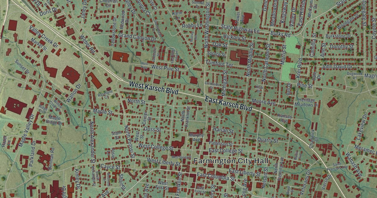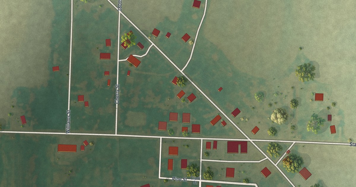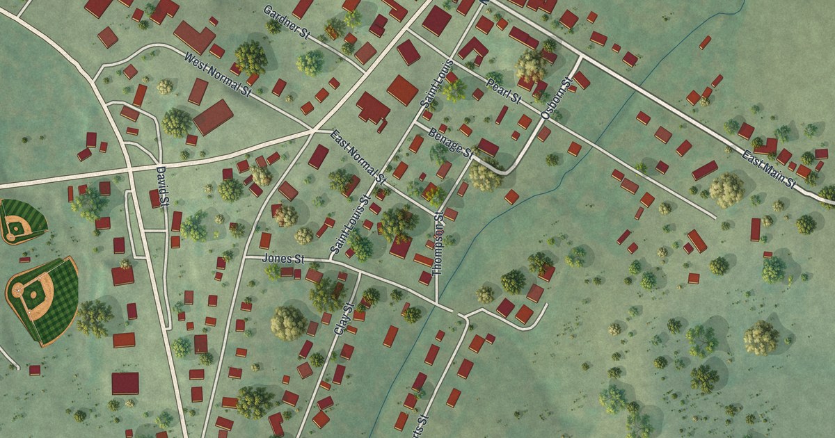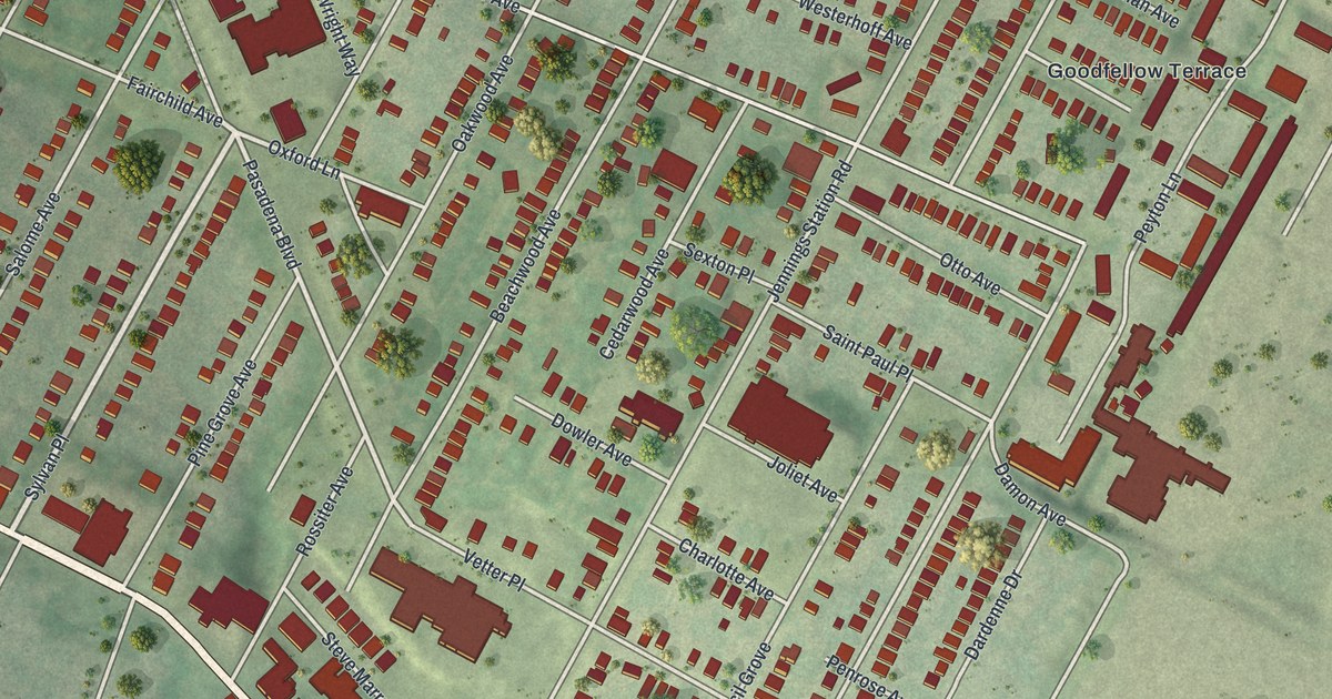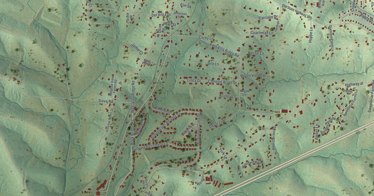
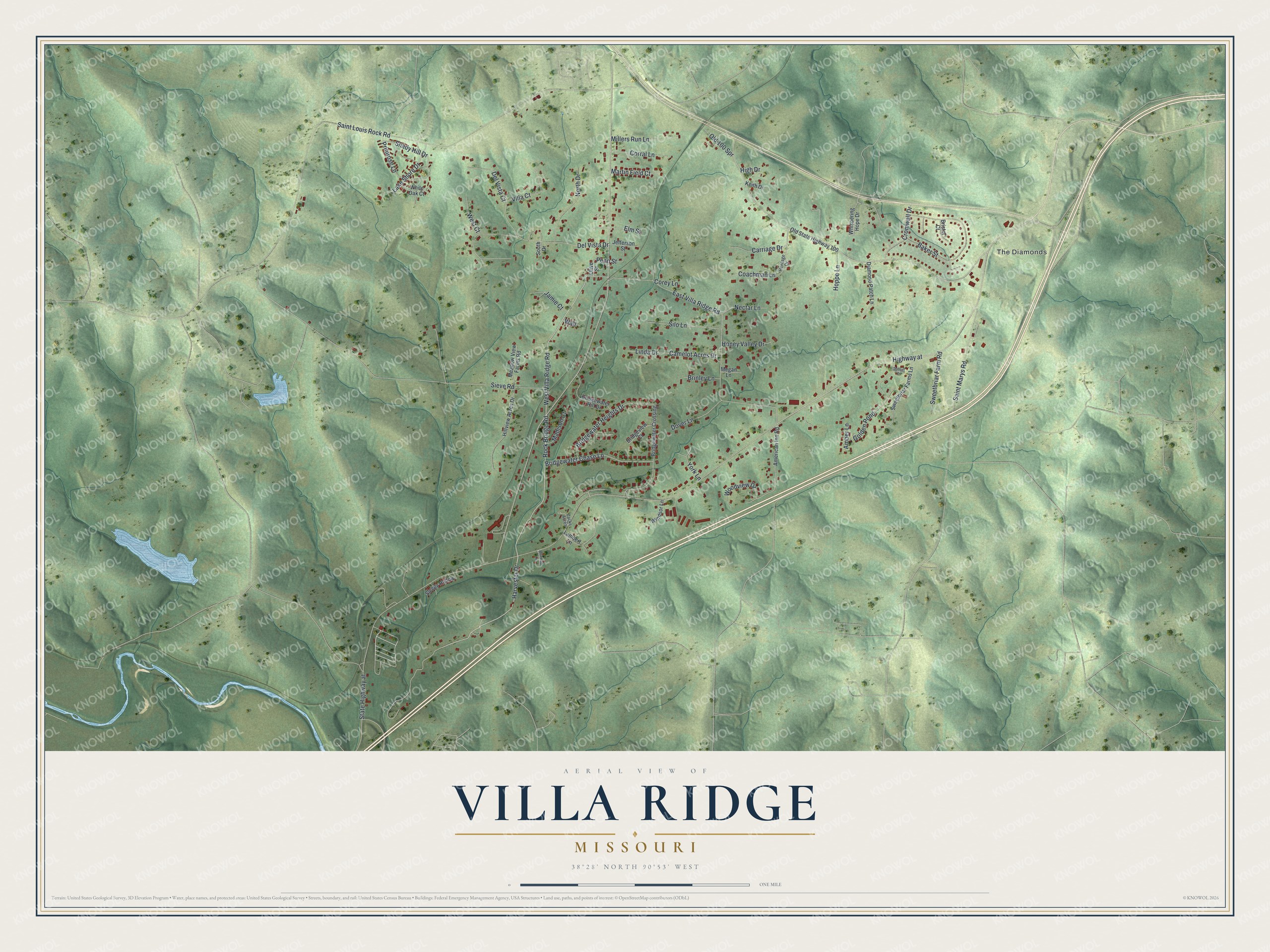
This beautifully detailed map of Villa Ridge, Missouri was created in 2026 using aerial imagery combined with modern topographical, census, street and landmark data. It's a modern aerial view of Villa Ridge in Franklin County, Missouri, that combines modern data with a vintage aesthetic. The roads feature printed names, and if you look closely you can find your exact house accurately shown in its correct location.
Explore an aerial view of Villa Ridge, Missouri
On this map you'll find The Diamonds, Harvester Drive, West Villa Ridge Road, Rock Bridge Road, Penn Street, Bridgewater Chase Lane, Highway at, Madison Court, State Highway at, Saint Louis Rock Road, Sieve Road, East Villa Ridge Road, and more. Each red shape is a building, so zoom in on the preview and look for yours.
Villa Ridge has a story worth telling. Villa Ridge was named by Mr. Emmerson, who supervised the building of the railroad there. He chose the name for the town's place on the ridge that divides the waters of the Meramec and Missouri rivers, with Villa added to mean town. The town later moved to a nearby valley, but it kept its name. Villa Ridge was a station on the Rock Island Railroad, and its post office dates from 1889. That's from the State Historical Society of Missouri.
Villa Ridge is a community in Franklin County. The Census Bureau counted 2,601 people here in 2020.
Take a closer look at the Villa Ridge map
Names on this map
These names are printed on this map.
Places: The Diamonds.
Streets and roads: Harvester Drive, West Villa Ridge Road, Rock Bridge Road, Penn Street, Bridgewater Chase Lane, Highway at, Madison Court, State Highway at, Saint Louis Rock Road, Sieve Road, East Villa Ridge Road, Del Vista Drive.
More street names, A to Z
Amber Lane, American Inn Road, Baker Street, Bluebird Lane, Bridgeview Court, Bridgewater Crossing, Bridgewater Heights Drive, Bridgewater Hill Drive, Brinley Lane, Bristol Court, Camelot Acres Drive, Carriage Drive, Coachman Lane, Corey Lane, Corral Lane, Cromwell Drive, Del Vista Court, Diamond Patch Lane, Dover Lane, Elm Street, Golden Pond, Heritage Drive, High Drive, Hillview Acres Drive, Honey Valley Drive, Hoppe Lane, Jamie Court, Jefferson Street, Keith Drive, Lake Shore Drive, Lambert Lane, Linda Drive, Martin Field Court, Meadow View Farms Road, Megan Lane, Millers Run Lane, Nectar Lane, North Drive, Old 100 Spr, Old State Highway 100, Olive Street, Primrose Lane, Saint Marys Road, Shady Hill Drive, Silo Lane, Sleepy Hollow, South Drive, Sunset Court, Sweetbriar Farm Road, Sweetbriar Farms Lane, Villa Court, Wall, West Court, Whispering Hope Drive, White Oak Court, Windsor Lane, Woodview Drive, York Lane, Zacks Acres.
See it on a wall
The Villa Ridge map as a framed print. Swipe for more.


Created by KNOWOL in 2026. The buildings are small red shapes, the roads carry their printed names, and shaded relief shows the shape of the land. The title panel reads "AERIAL VIEW OF VILLA RIDGE, MISSOURI" with 38°28' NORTH 90°53' WEST.
It looks right in a kitchen, an office or a den, and it's a gift for anyone who grew up in Villa Ridge or moved away. Open the preview and find your street. See sizes and frames for the Villa Ridge map.