Detailed Map of Valley Park, Missouri
A detailed map of Valley Park, Missouri, showing every building in its true location, the roads by name, and shaded topographical relief.
Read More
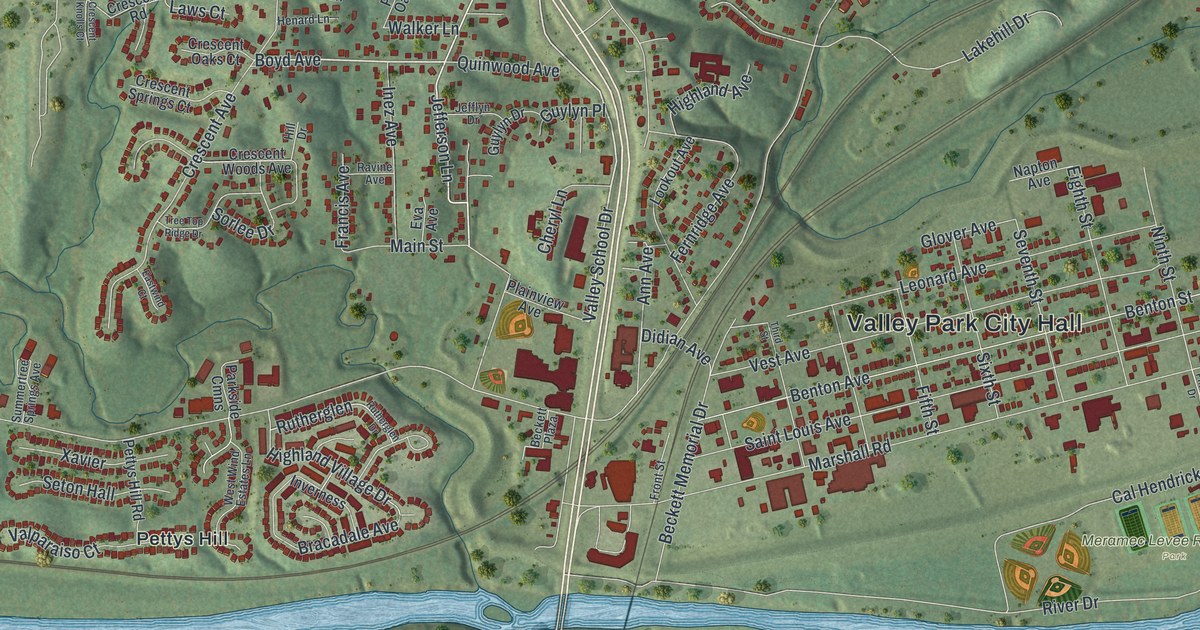
A detailed map of Valley Park, Missouri, showing every building in its true location, the roads by name, and shaded topographical relief.
Read More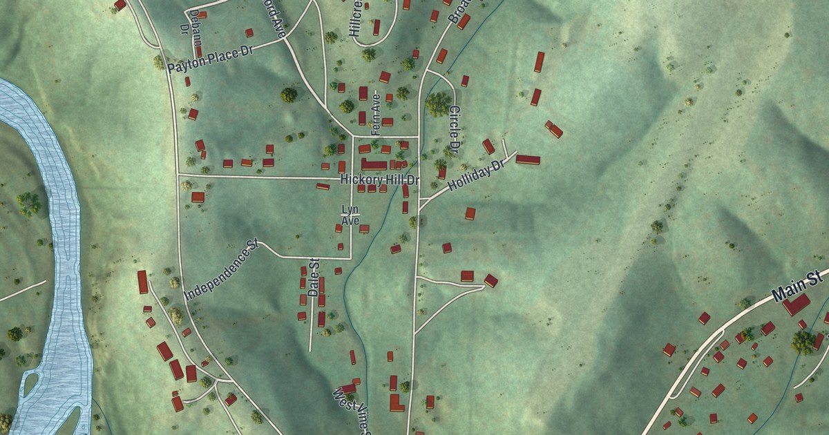
A detailed map of Van Buren, Missouri, showing every building in its true location, the roads by name, and shaded topographical relief.
Read More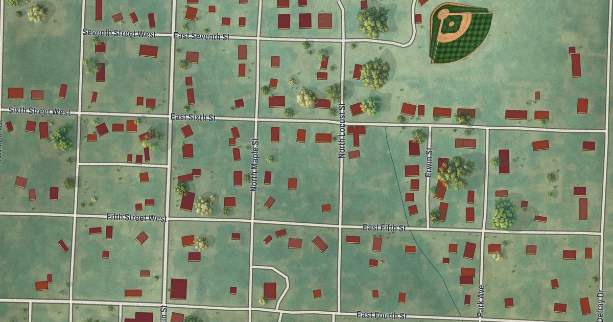
A detailed map of Urich, Missouri, showing every building in its true location, the roads by name, and shaded topographical relief.
Read More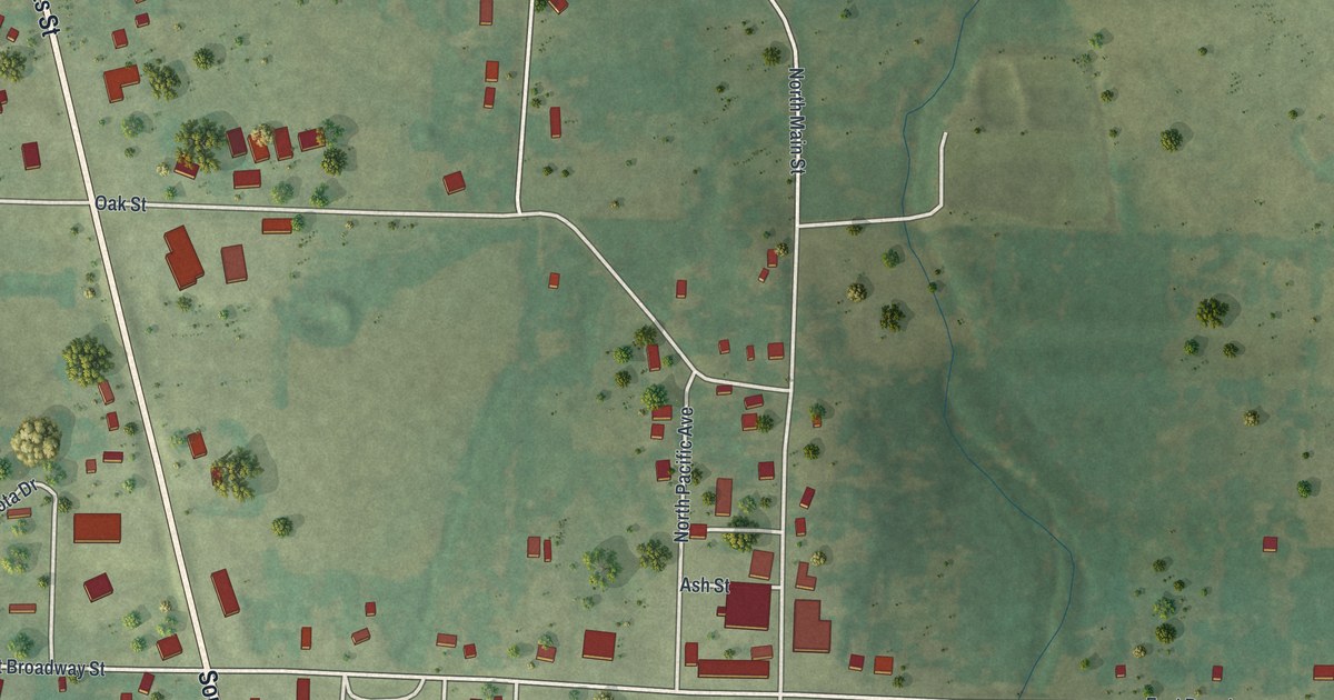
A detailed map of Urbana, Missouri, showing every building in its true location, the roads by name, and shaded topographical relief.
Read More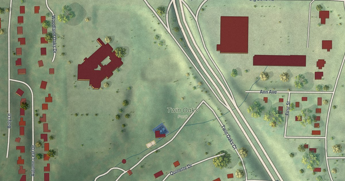
A detailed map of Twin Oaks, Missouri, showing every building in its true location, the roads by name, and shaded topographical relief.
Read More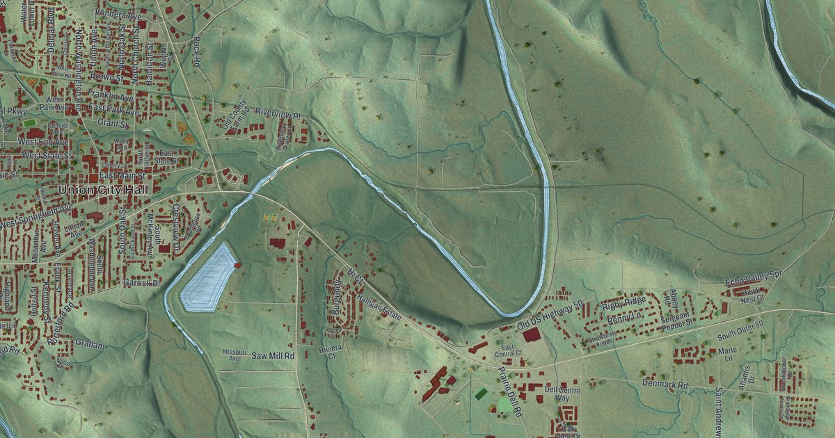
A detailed map of Union, Missouri, showing every building in its true location, the roads by name, and shaded topographical relief.
Read More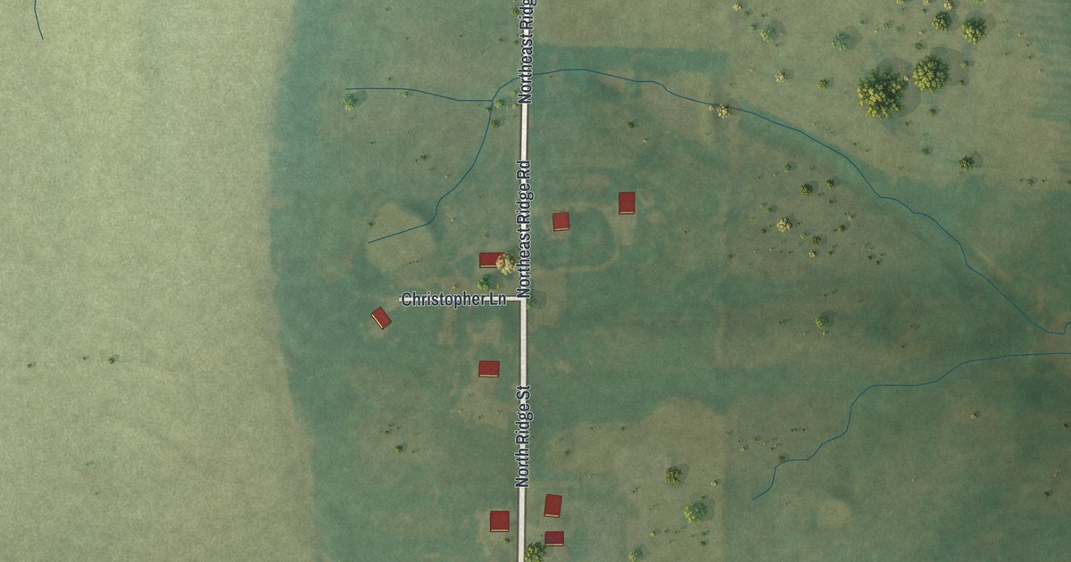
A detailed map of Turney, Missouri, showing every building in its true location, the roads by name, and shaded topographical relief.
Read More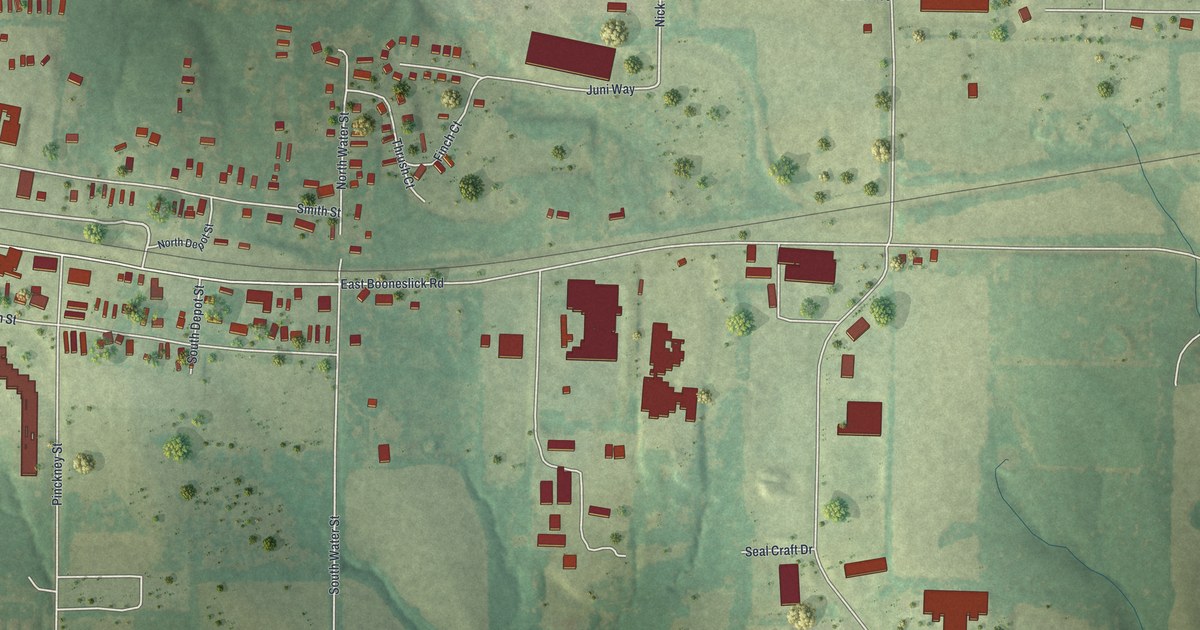
A detailed map of Truesdale, Missouri, showing every building in its true location, the roads by name, and shaded topographical relief.
Read More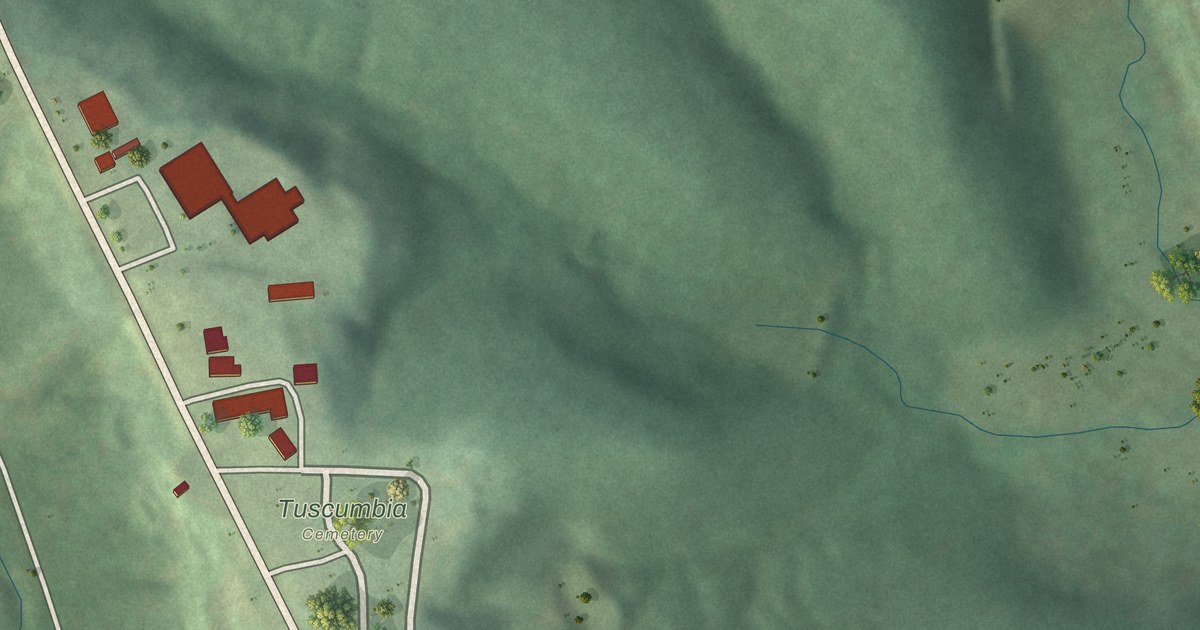
A detailed map of Tuscumbia, Missouri, showing every building in its true location, the roads by name, and shaded topographical relief.
Read More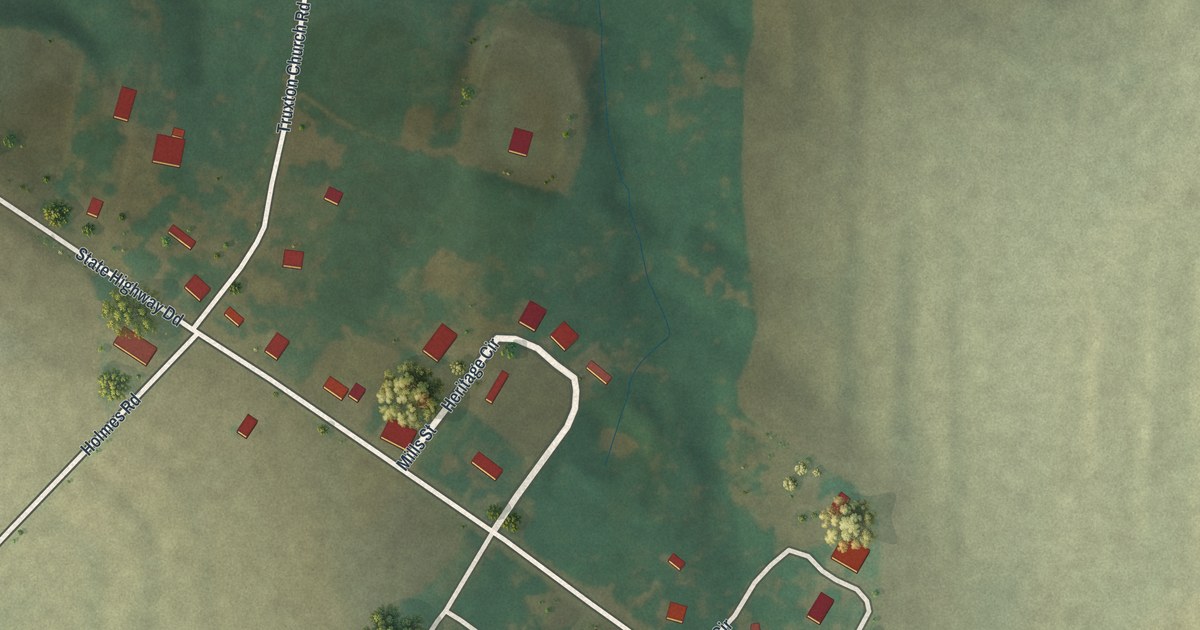
A detailed map of Truxton, Missouri, showing every building in its true location, the roads by name, and shaded topographical relief.
Read More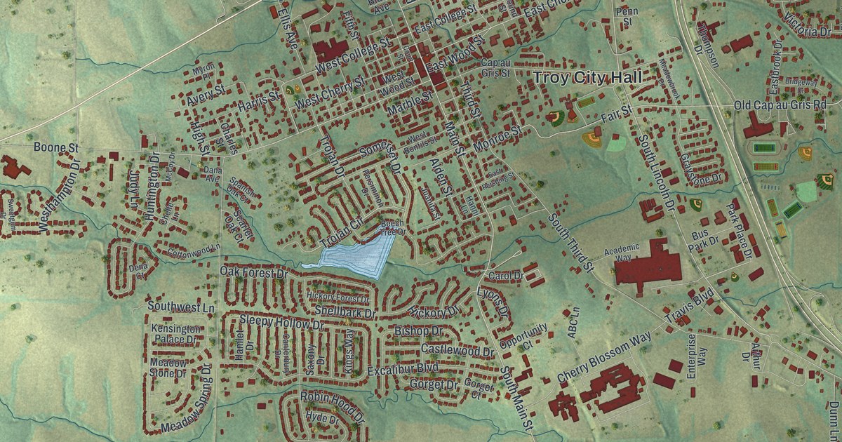
A detailed map of Troy, Missouri, showing every building in its true location, the roads by name, and shaded topographical relief.
Read More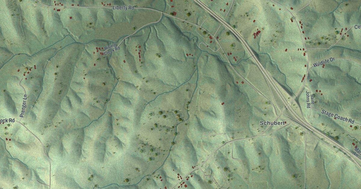
A detailed map of Taos, Missouri, showing every building in its true location, the roads by name, and shaded topographical relief.
Read More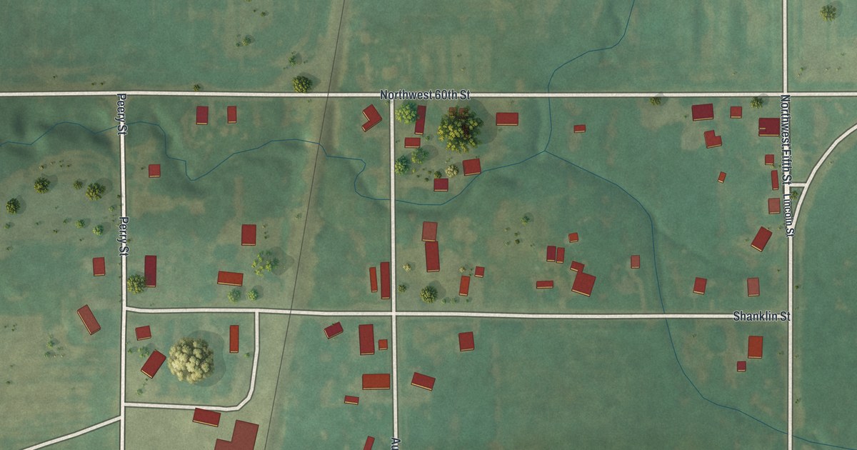
A detailed map of Tindall, Missouri, showing every building in its true location, the roads by name, and shaded topographical relief.
Read More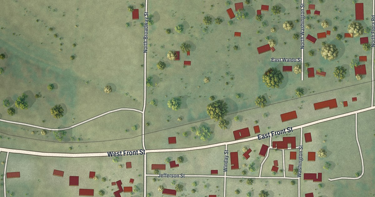
A detailed map of Syracuse, Missouri, showing every building in its true location, the roads by name, and shaded topographical relief.
Read More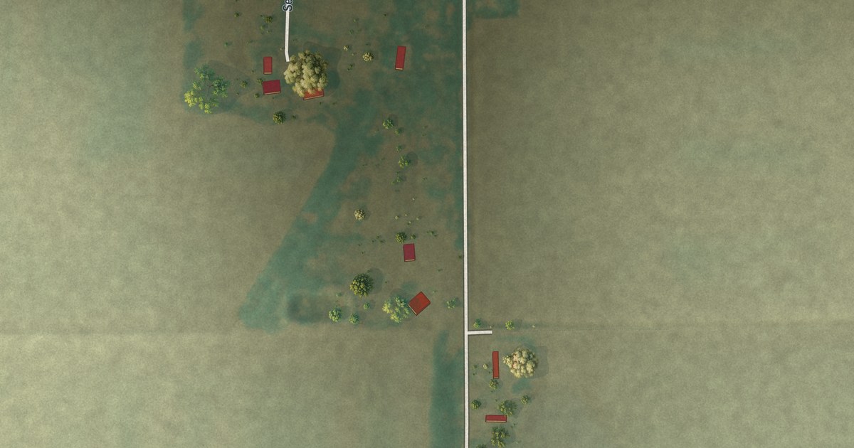
A detailed map of Tallapoosa, Missouri, showing every building in its true location, the roads by name, and shaded topographical relief.
Read More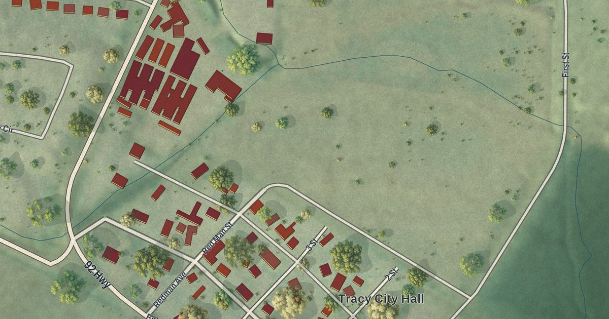
A detailed map of Tracy, Missouri, showing every building in its true location, the roads by name, and shaded topographical relief.
Read More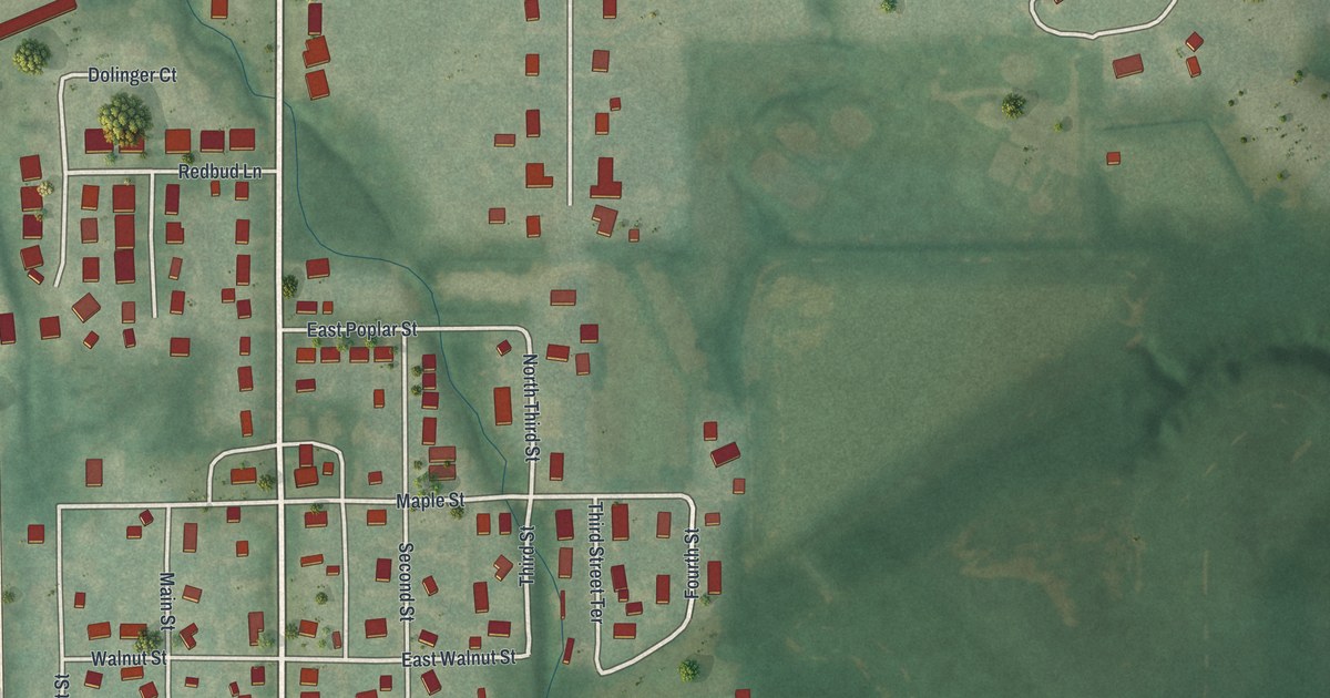
A detailed map of Trimble, Missouri, showing every building in its true location, the roads by name, and shaded topographical relief.
Read More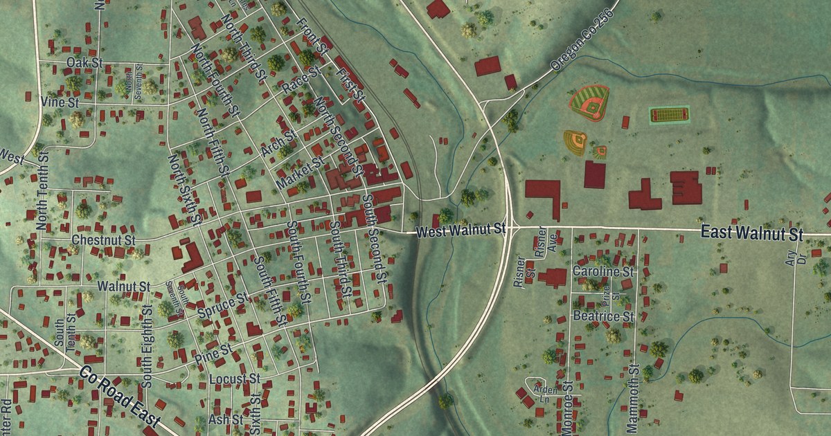
A detailed map of Thayer, Missouri, showing every building in its true location, the roads by name, and shaded topographical relief.
Read More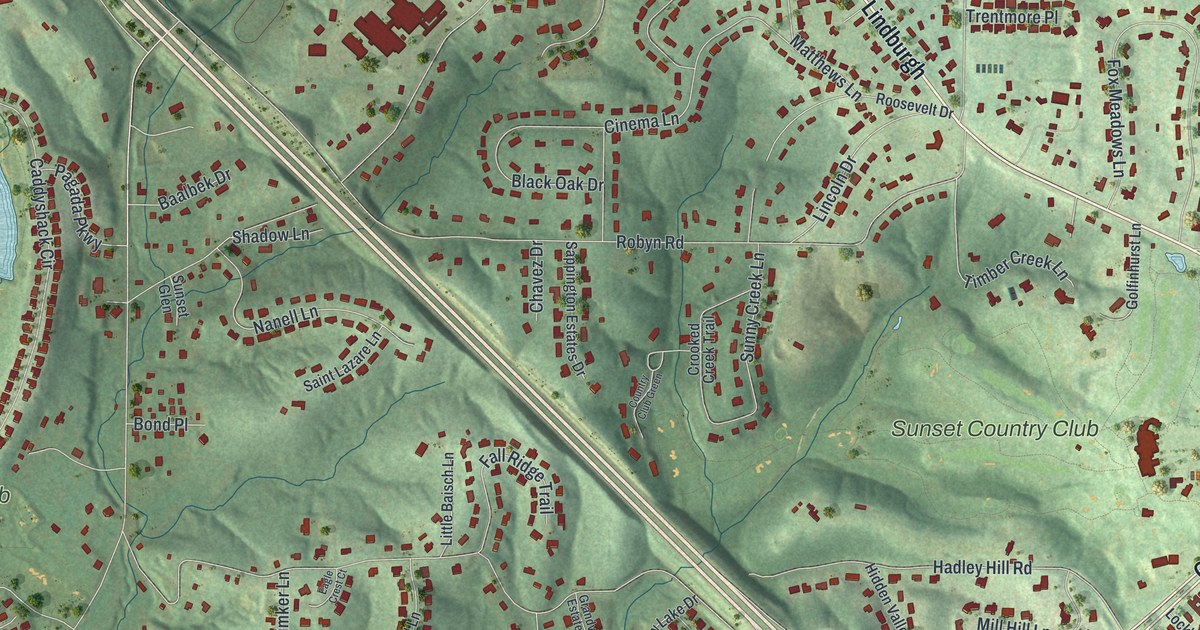
A detailed map of Sunset Hills, Missouri, showing every building in its true location, the roads by name, and shaded topographical relief.
Read More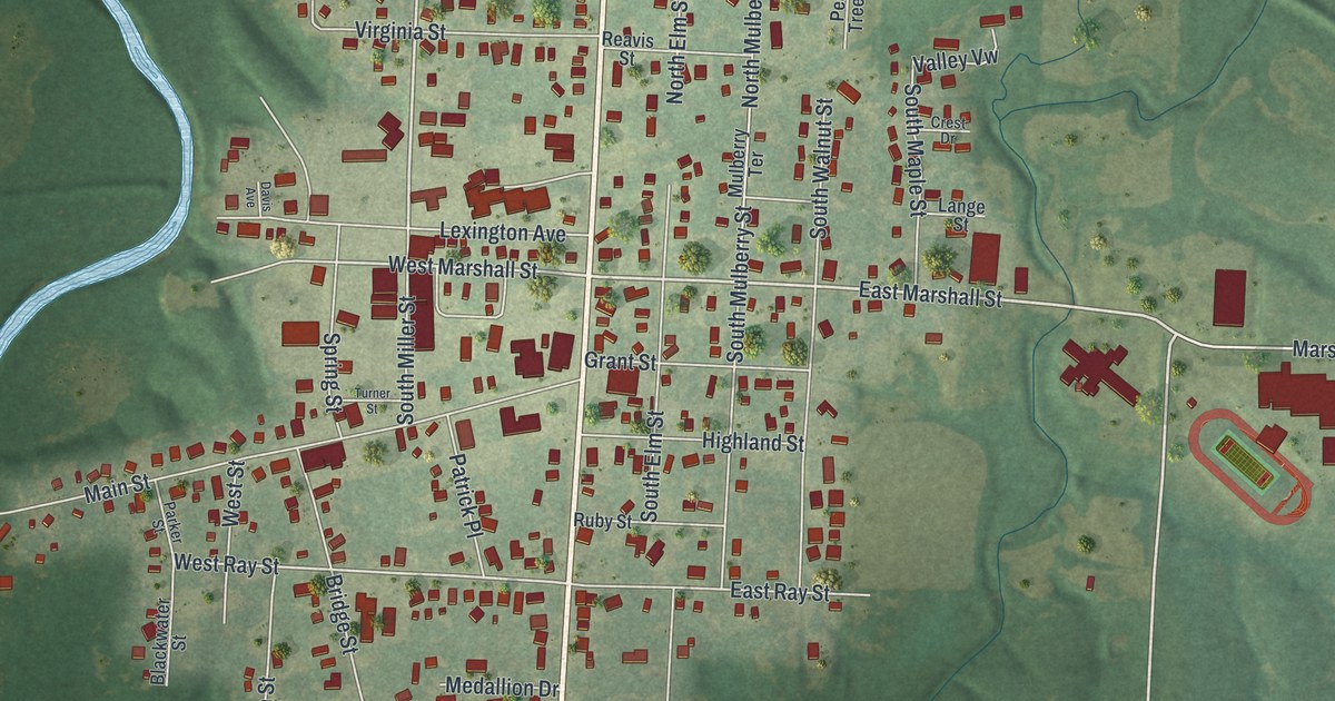
A detailed map of Sweet Springs, Missouri, showing every building in its true location, the roads by name, and shaded topographical relief.
Read More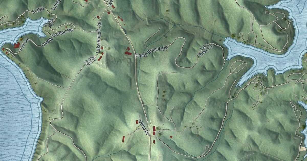
A detailed map of Sunrise Beach, Missouri, showing every building in its true location, the roads by name, and shaded topographical relief.
Read More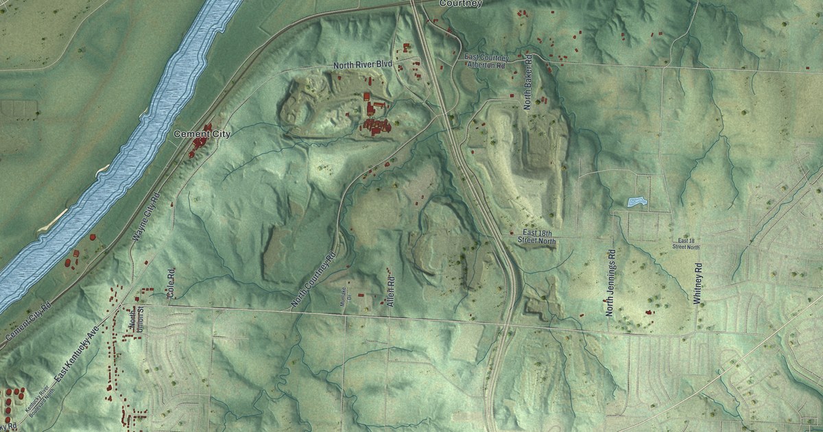
A detailed map of Sugar Creek, Missouri, showing every building in its true location, the roads by name, and shaded topographical relief.
Read More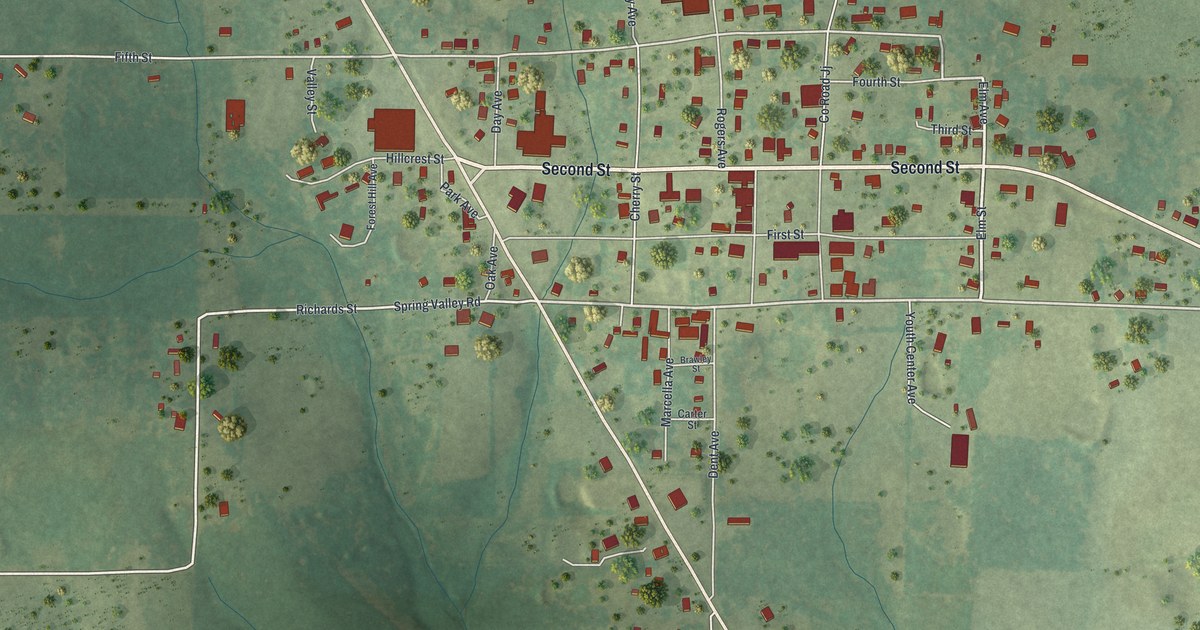
A detailed map of Summersville, Missouri, showing every building in its true location, the roads by name, and shaded topographical relief.
Read More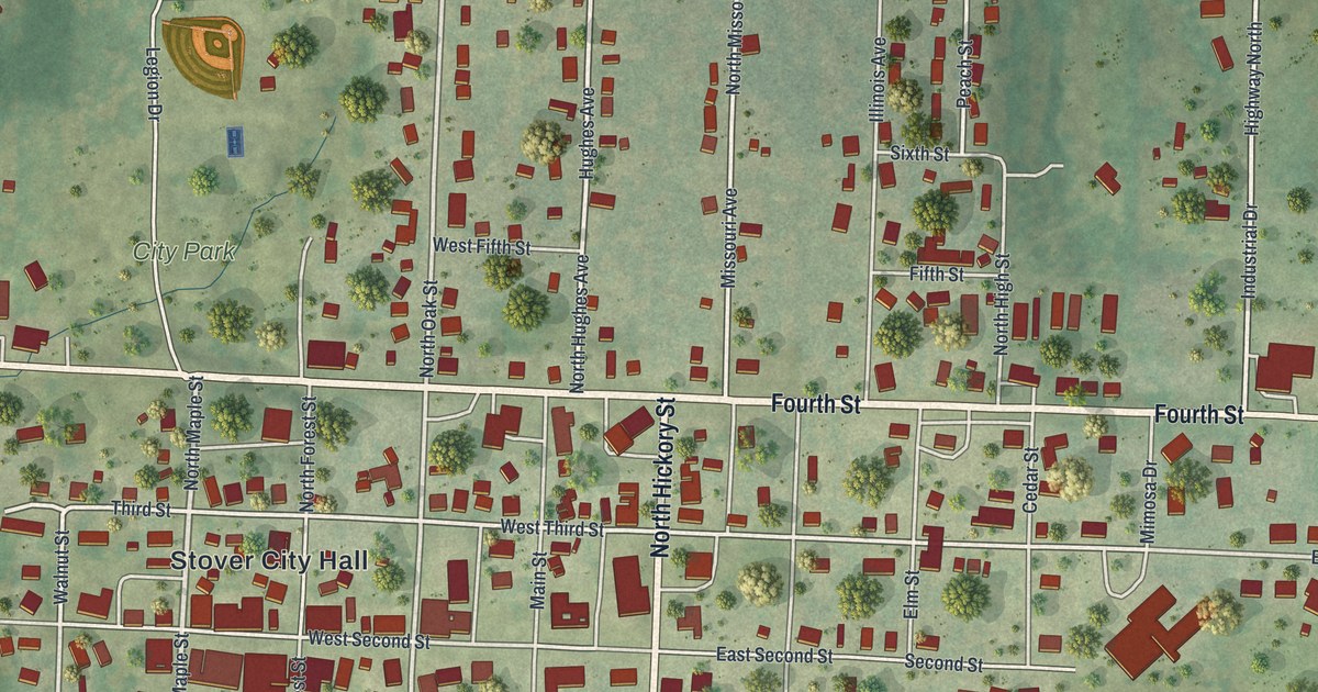
A detailed map of Stover, Missouri, showing every building in its true location, the roads by name, and shaded topographical relief.
Read More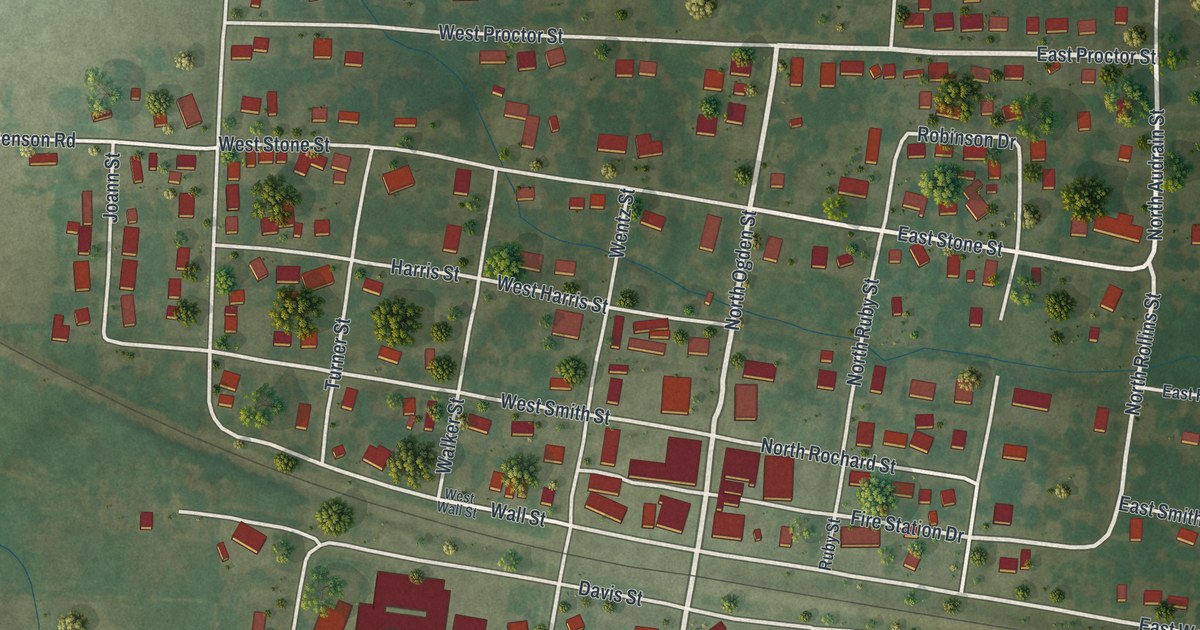
A detailed map of Sturgeon, Missouri, showing every building in its true location, the roads by name, and shaded topographical relief.
Read More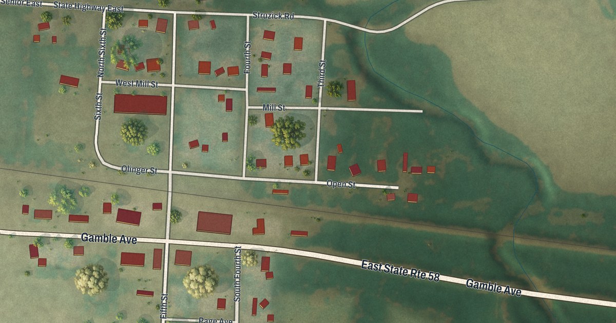
A detailed map of Strasburg, Missouri, showing every building in its true location, the roads by name, and shaded topographical relief.
Read More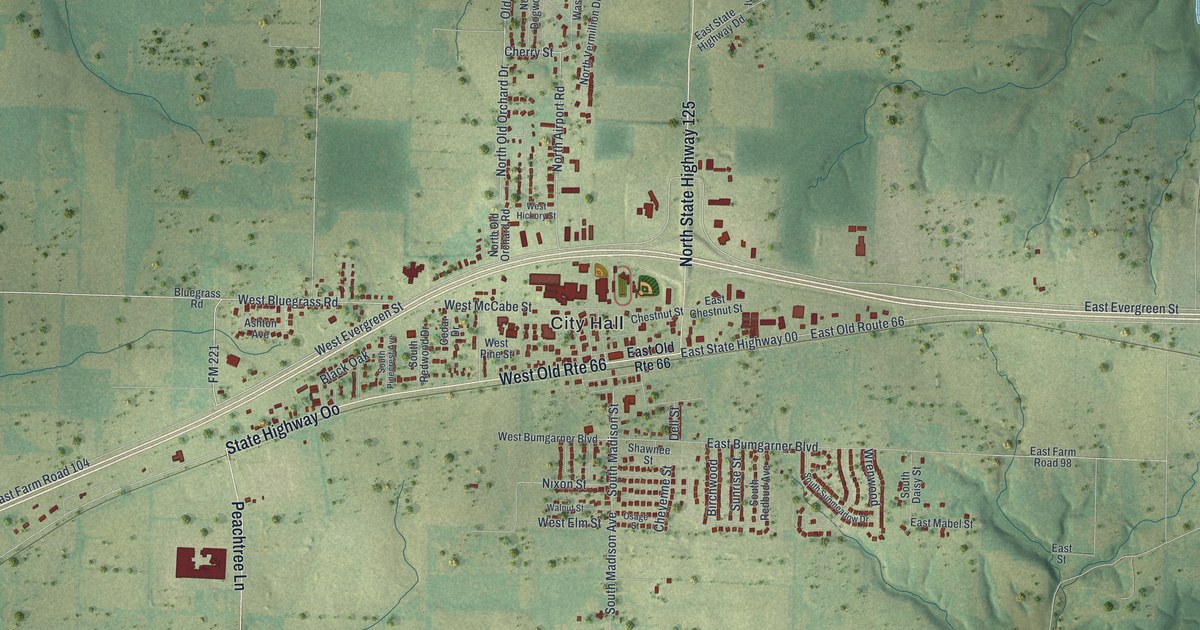
A detailed map of Strafford, Missouri, showing every building in its true location, the roads by name, and shaded topographical relief.
Read More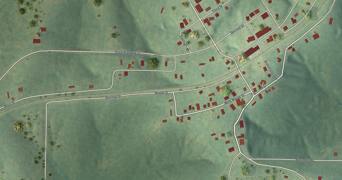
A detailed map of Stoutland, Missouri, showing every building in its true location, the roads by name, and shaded topographical relief.
Read More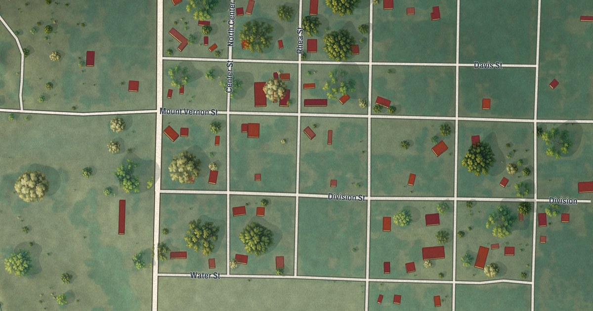
A detailed map of Stotts City, Missouri, showing every building in its true location, the roads by name, and shaded topographical relief.
Read More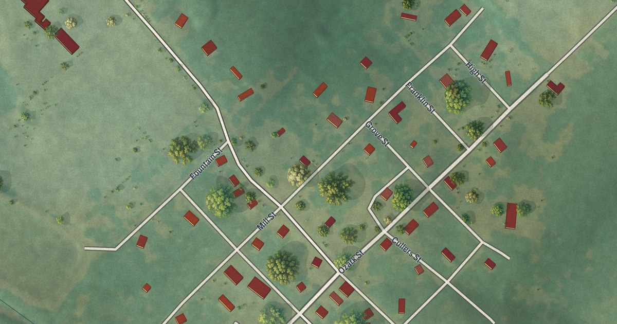
A detailed map of Stella, Missouri, showing every building in its true location, the roads by name, and shaded topographical relief.
Read More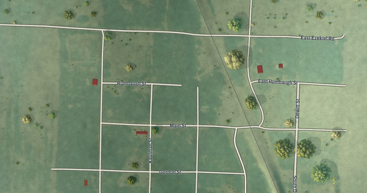
A detailed map of Stotesbury, Missouri, showing every building in its true location, the roads by name, and shaded topographical relief.
Read More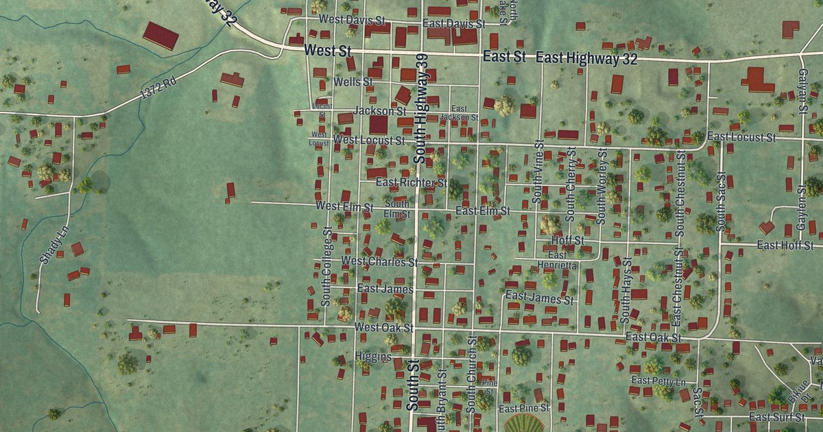
A detailed map of Stockton, Missouri, showing every building in its true location, the roads by name, and shaded topographical relief.
Read More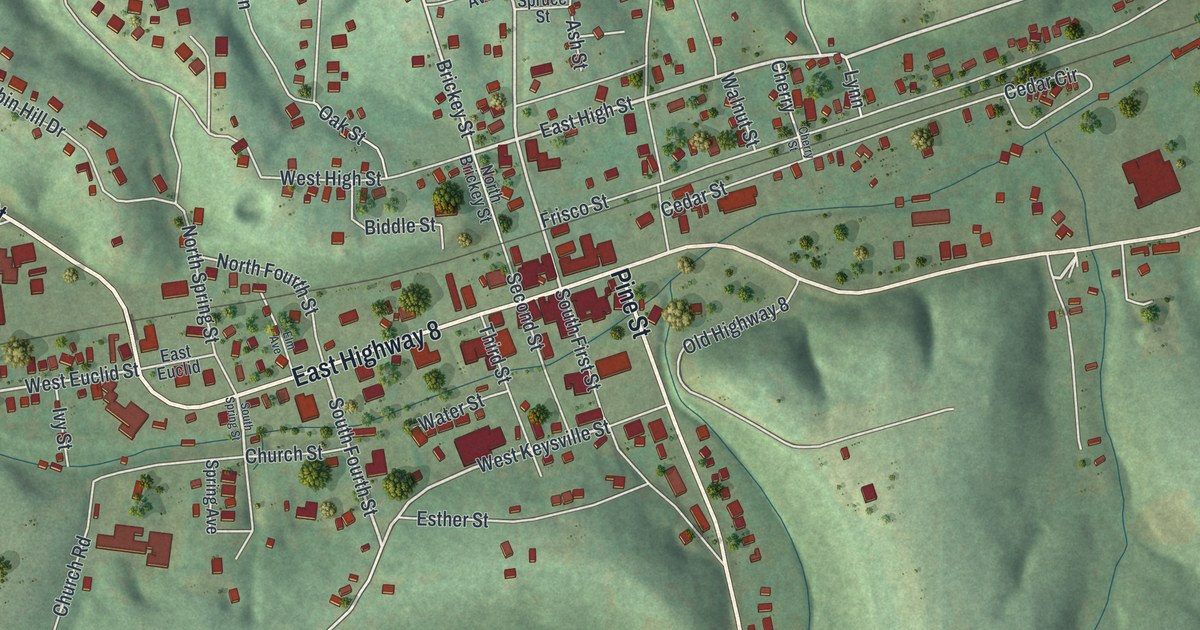
A detailed map of Steelville, Missouri, showing every building in its true location, the roads by name, and shaded topographical relief.
Read More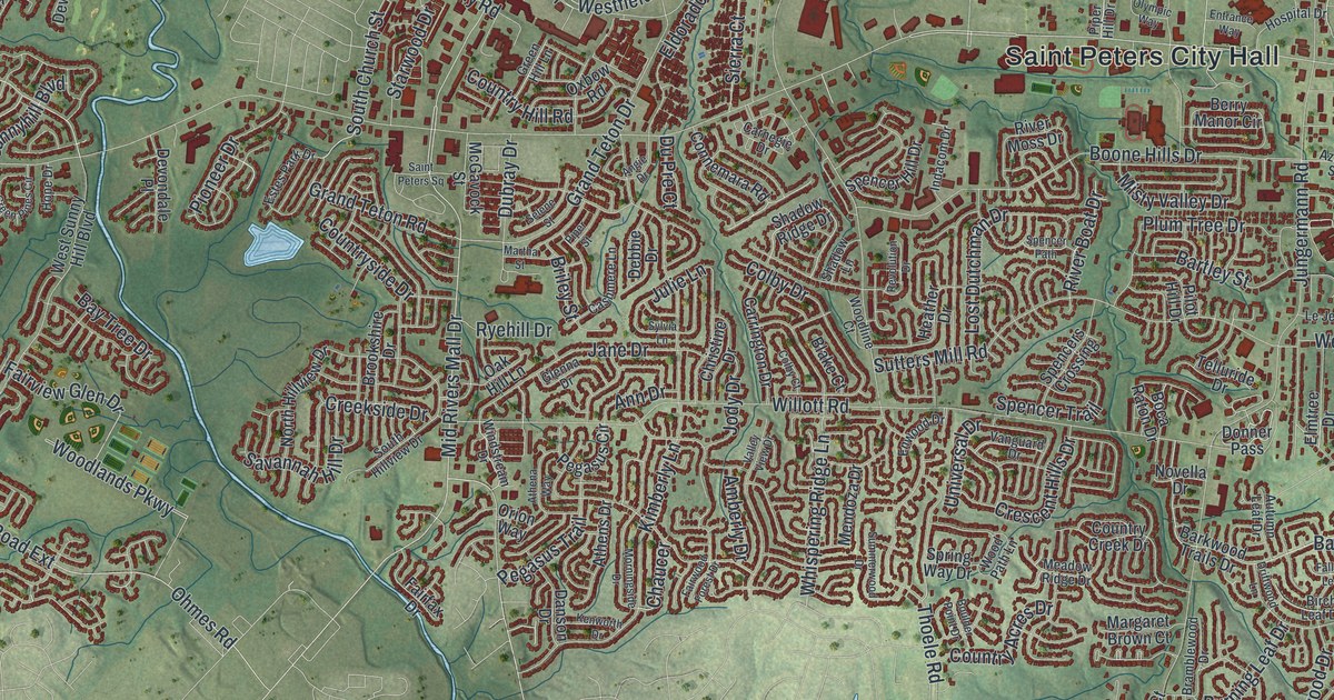
A detailed map of St. Peters, Missouri, showing every building in its true location, the roads by name, and shaded topographical relief.
Read More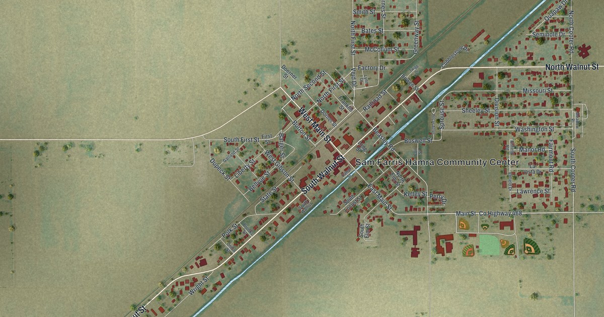
A detailed map of Steele, Missouri, showing every building in its true location, the roads by name, and shaded topographical relief.
Read More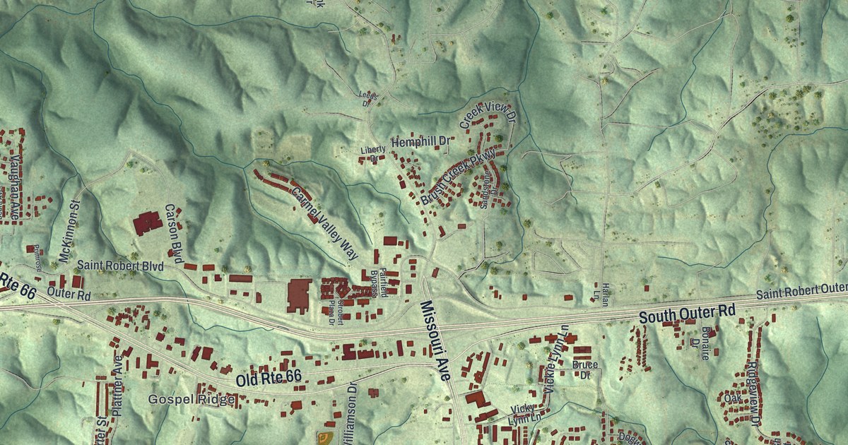
A detailed map of St. Robert, Missouri, showing every building in its true location, the roads by name, and shaded topographical relief.
Read More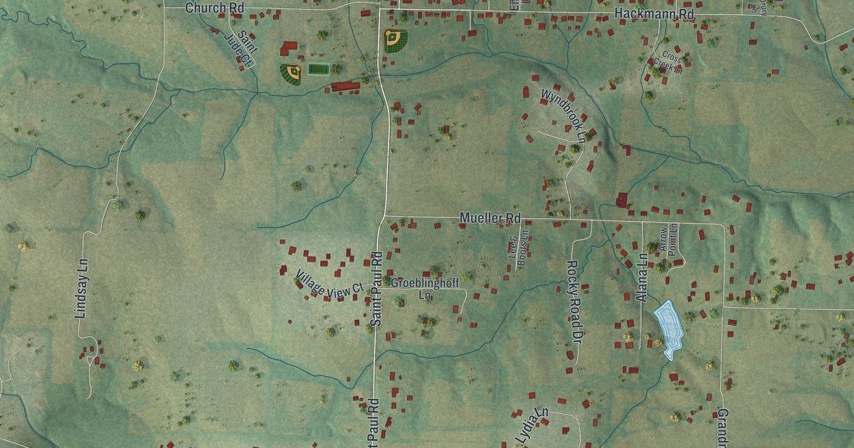
A detailed map of St. Paul, Missouri, showing every building in its true location, the roads by name, and shaded topographical relief.
Read More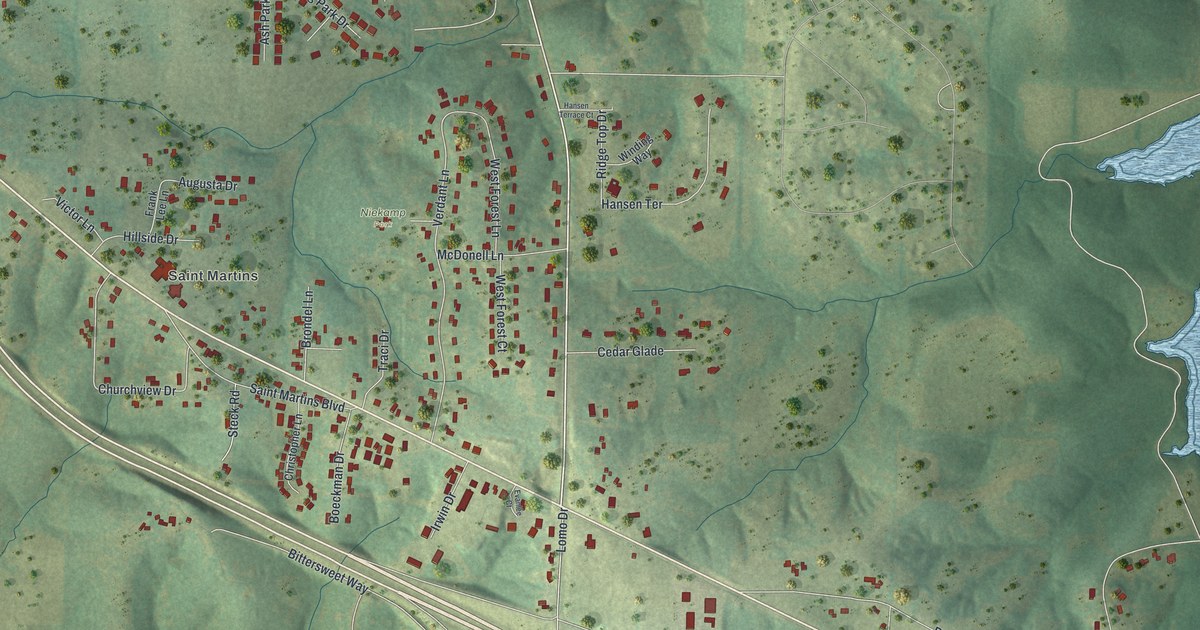
A detailed map of St. Martins, Missouri, showing every building in its true location, the roads by name, and shaded topographical relief.
Read More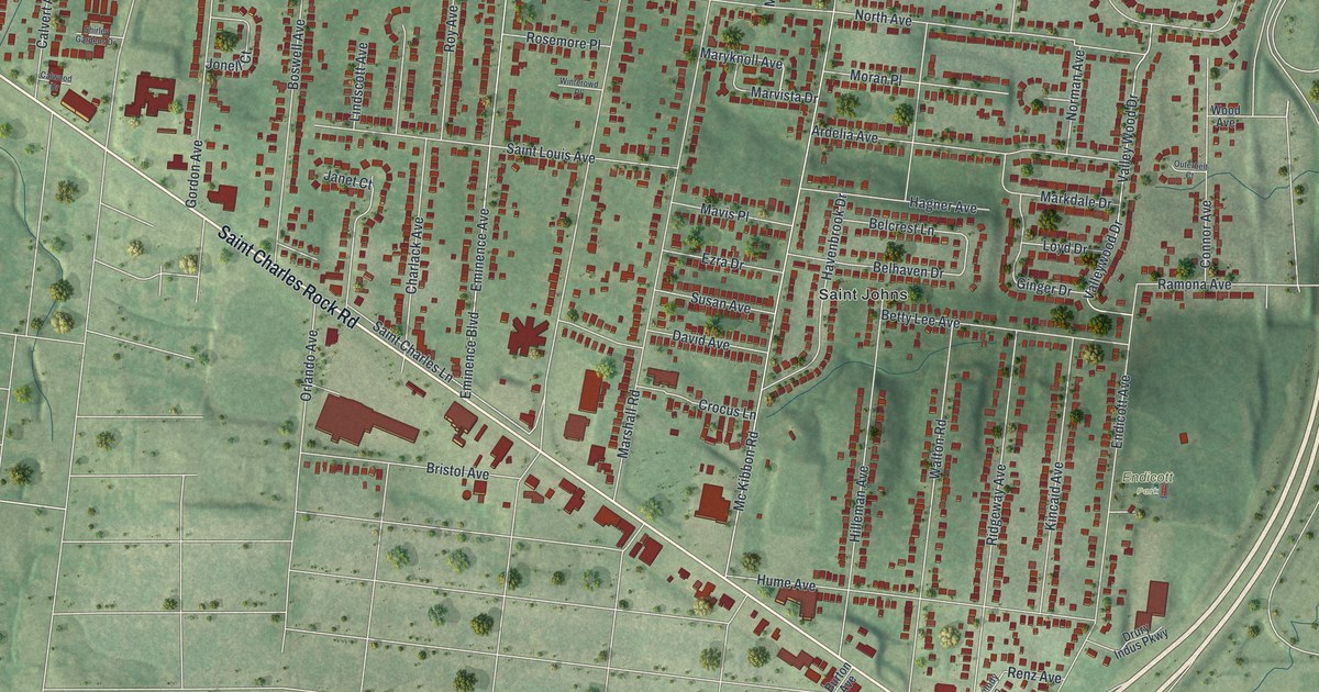
A detailed map of St. John, Missouri, showing every building in its true location, the roads by name, and shaded topographical relief.
Read More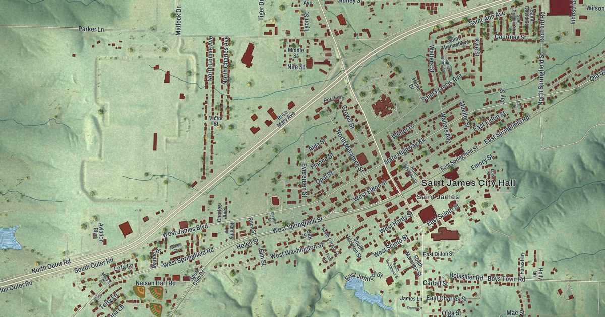
A detailed map of St. James, Missouri, showing every building in its true location, the roads by name, and shaded topographical relief.
Read More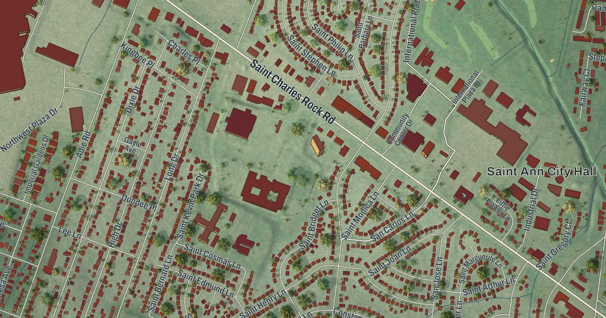
A detailed map of St. Ann, Missouri, showing every building in its true location, the roads by name, and shaded topographical relief.
Read More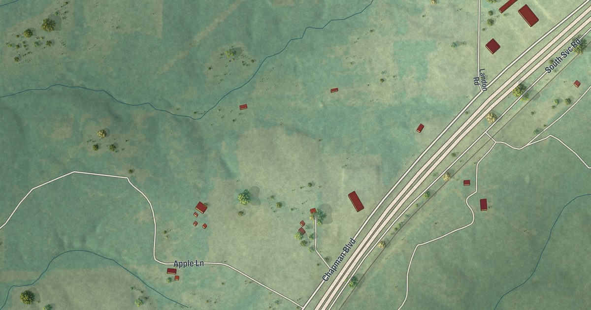
A detailed map of St. Cloud, Missouri, showing every building in its true location, the roads by name, and shaded topographical relief.
Read More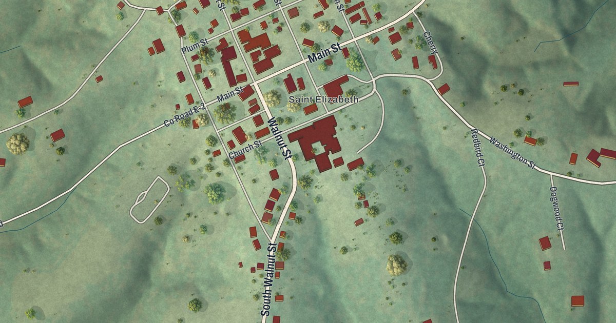
A detailed map of St. Elizabeth, Missouri, showing every building in its true location, the roads by name, and shaded topographical relief.
Read More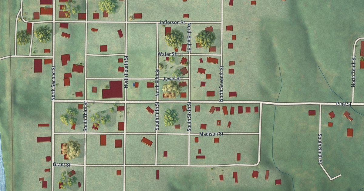
A detailed map of Spickard, Missouri, showing every building in its true location, the roads by name, and shaded topographical relief.
Read More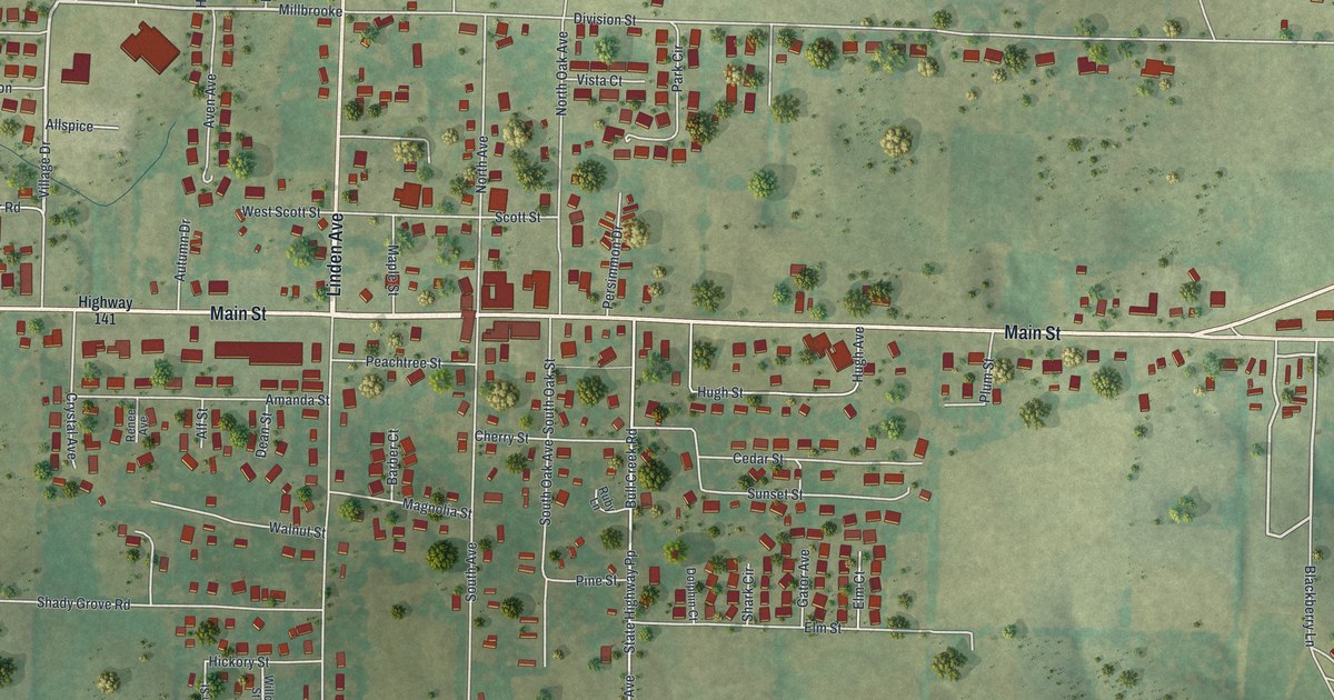
A detailed map of Sparta, Missouri, showing every building in its true location, the roads by name, and shaded topographical relief.
Read More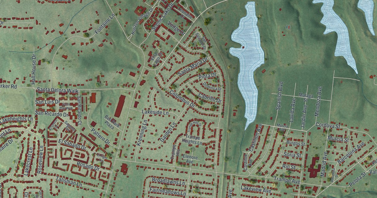
A detailed map of Spanish Lake, Missouri, showing every building in its true location, the roads by name, and shaded topographical relief.
Read More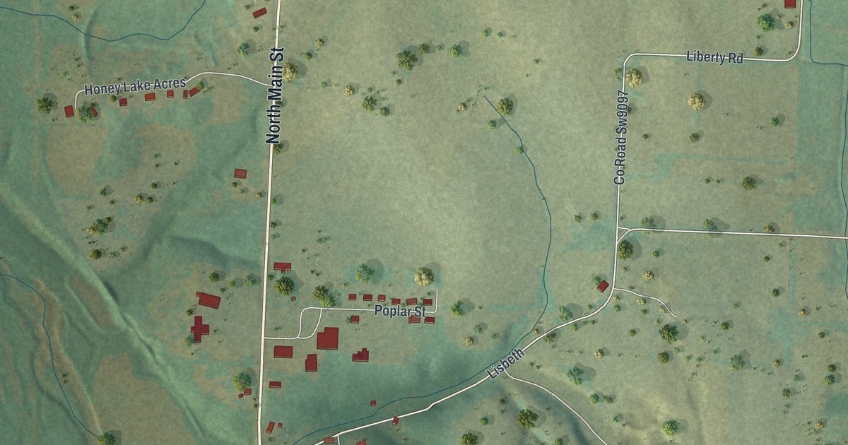
A detailed map of Southwest City, Missouri, showing every building in its true location, the roads by name, and shaded topographical relief.
Read More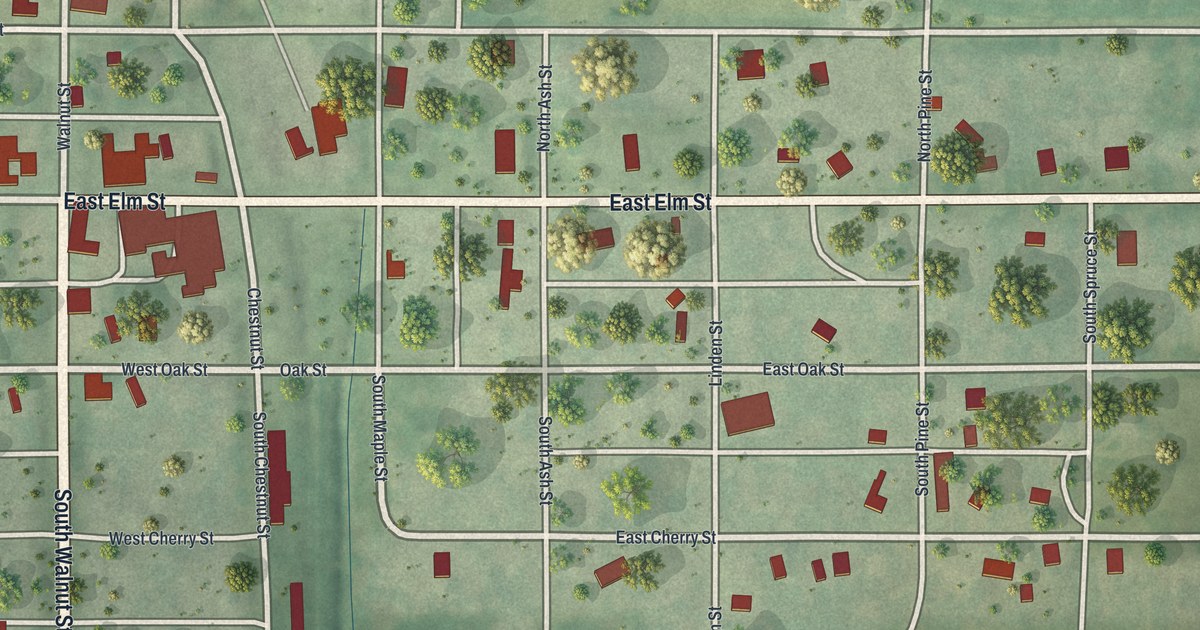
A detailed map of Skidmore, Missouri, showing every building in its true location, the roads by name, and shaded topographical relief.
Read More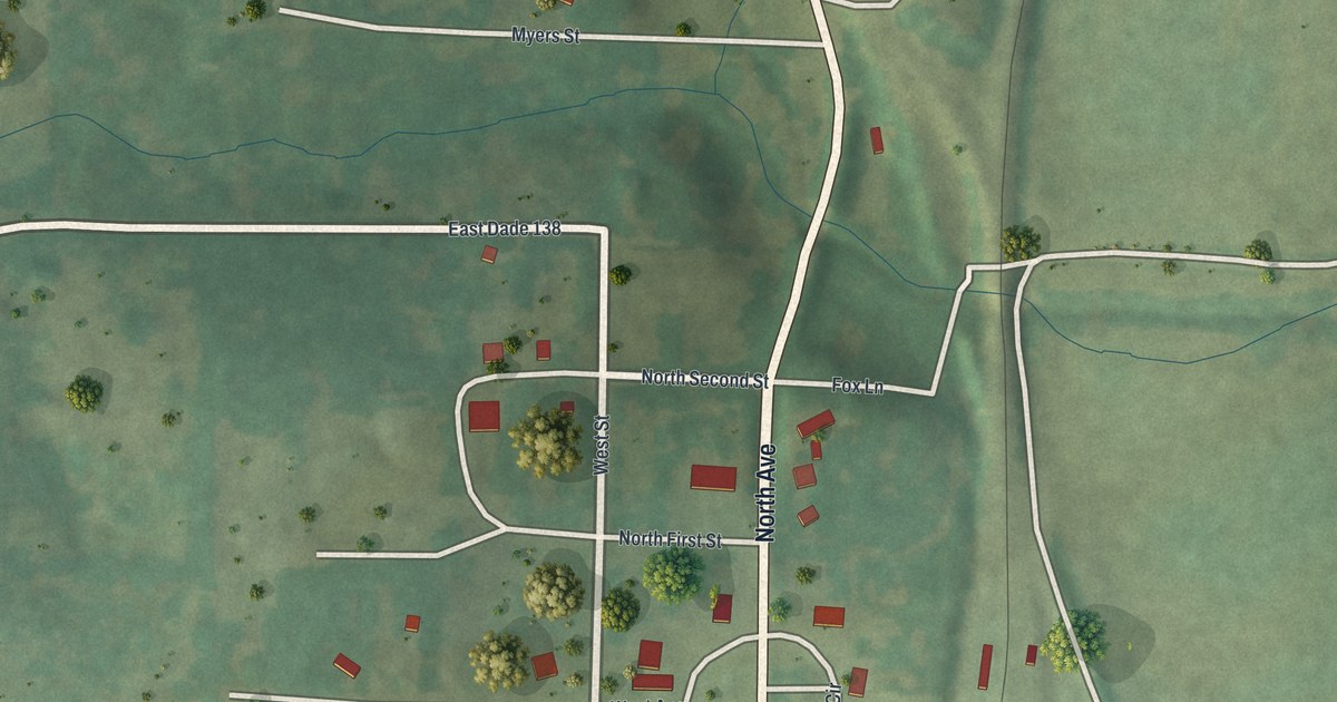
A detailed map of South Greenfield, Missouri, showing every building in its true location, the roads by name, and shaded topographical relief.
Read More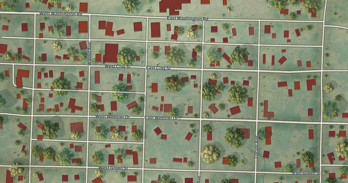
A detailed map of Smithton, Missouri, showing every building in its true location, the roads by name, and shaded topographical relief.
Read More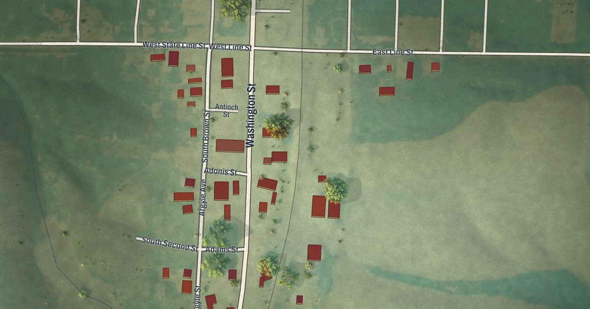
A detailed map of South Lineville, Missouri, showing every building in its true location, the roads by name, and shaded topographical relief.
Read More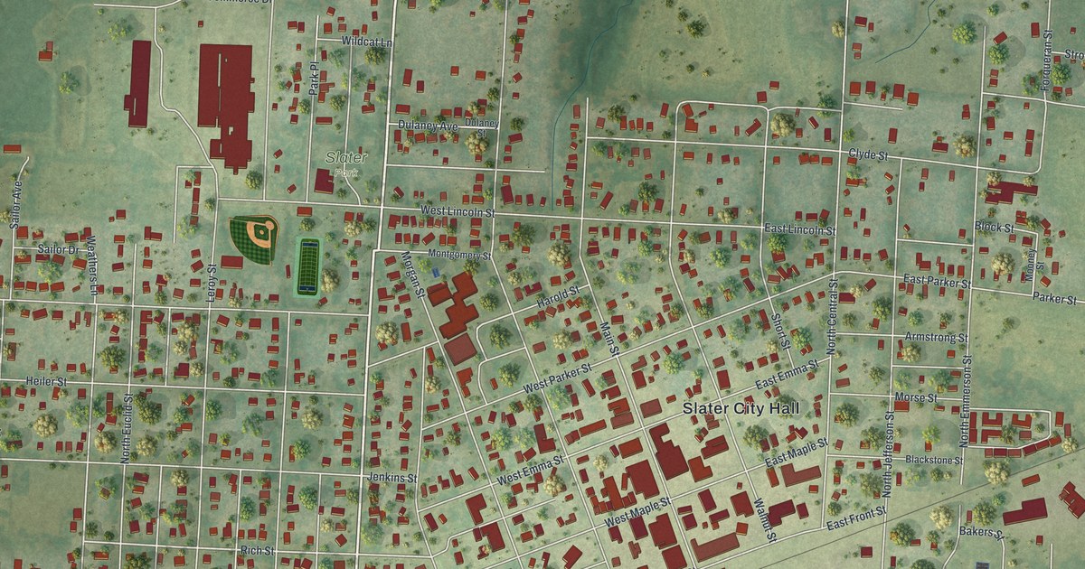
A detailed map of Slater, Missouri, showing every building in its true location, the roads by name, and shaded topographical relief.
Read More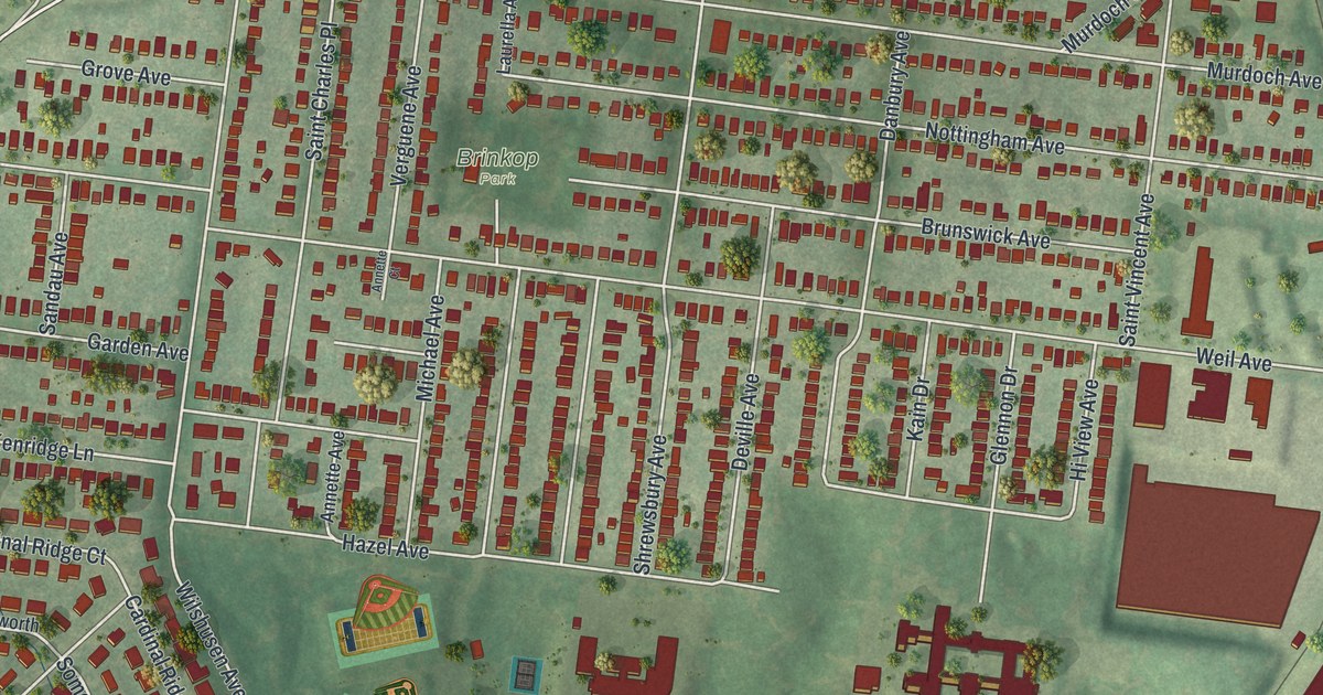
A detailed map of Shrewsbury, Missouri, showing every building in its true location, the roads by name, and shaded topographical relief.
Read More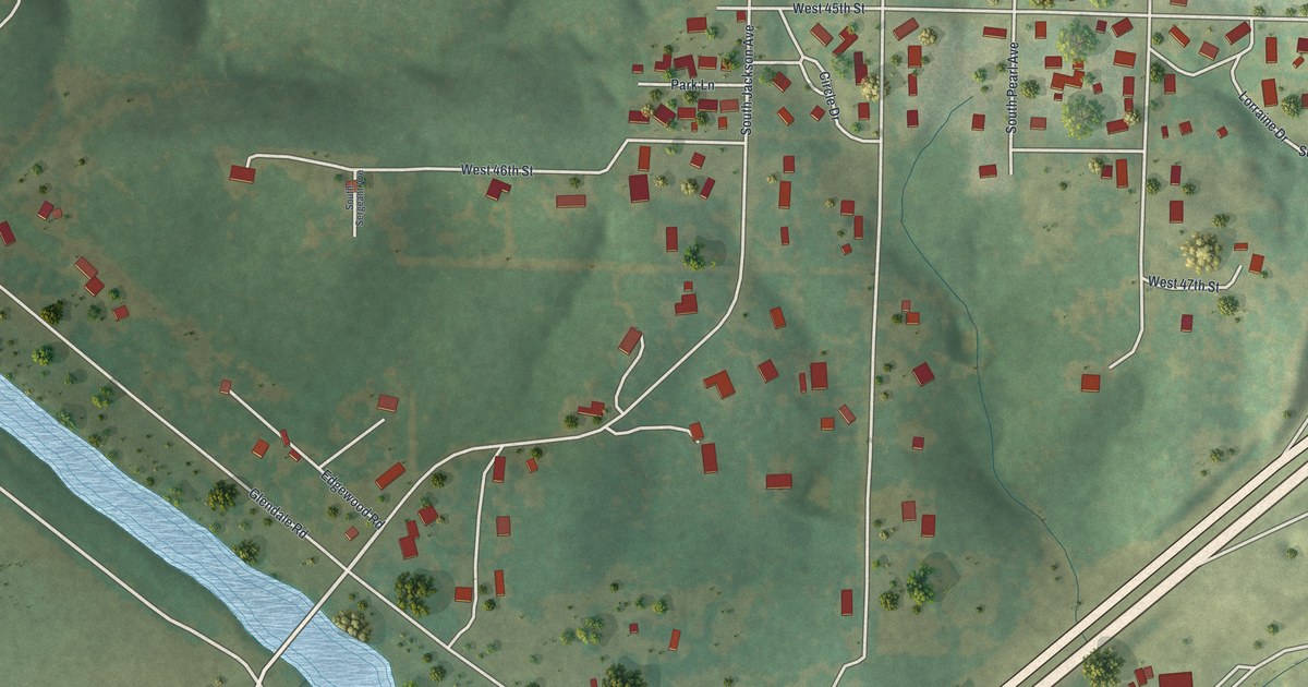
A detailed map of Shoal Creek Drive, Missouri, showing every building in its true location, the roads by name, and shaded topographical relief.
Read More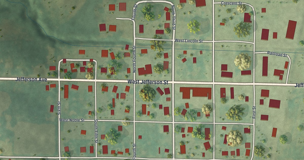
A detailed map of Sheridan, Missouri, showing every building in its true location, the roads by name, and shaded topographical relief.
Read More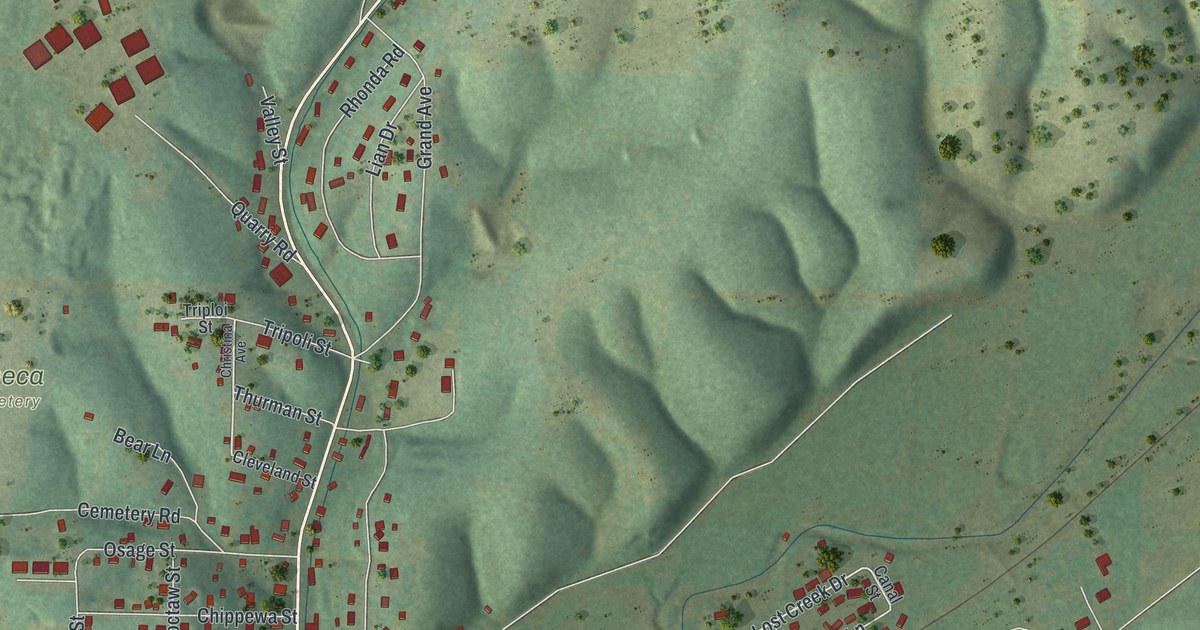
A detailed map of Seneca, Missouri, showing every building in its true location, the roads by name, and shaded topographical relief.
Read More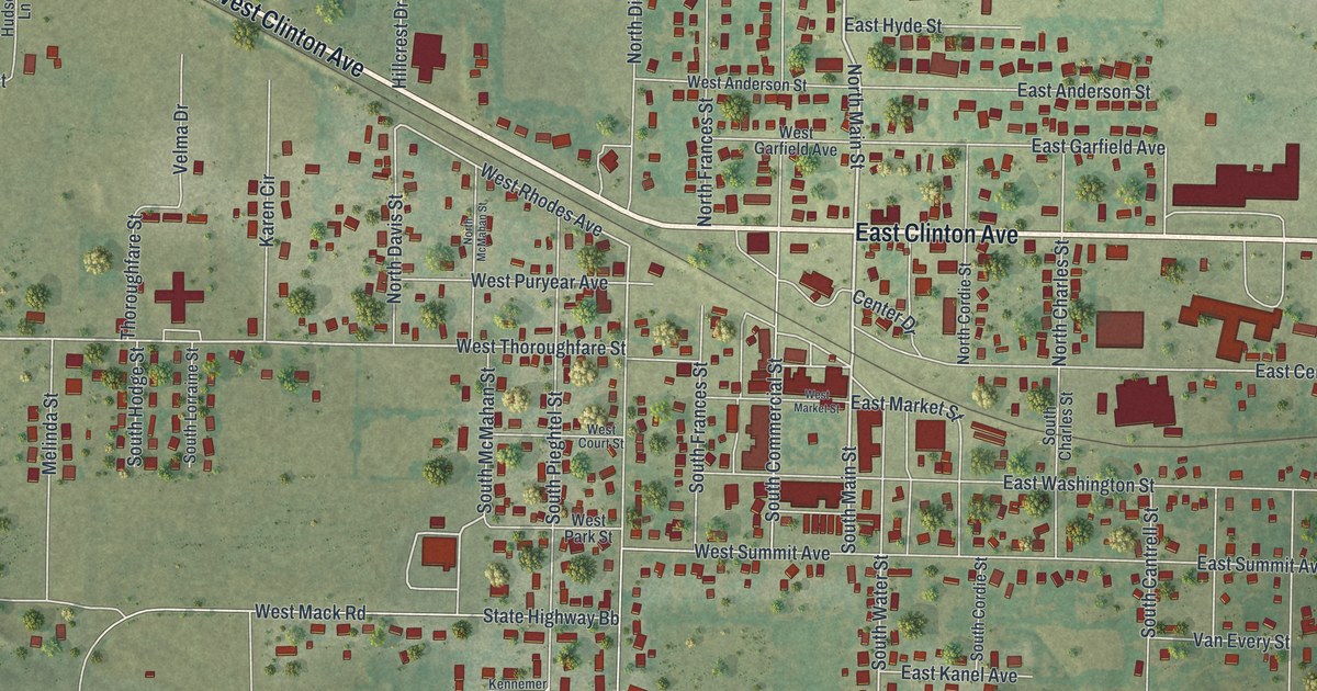
A detailed map of Seymour, Missouri, showing every building in its true location, the roads by name, and shaded topographical relief.
Read More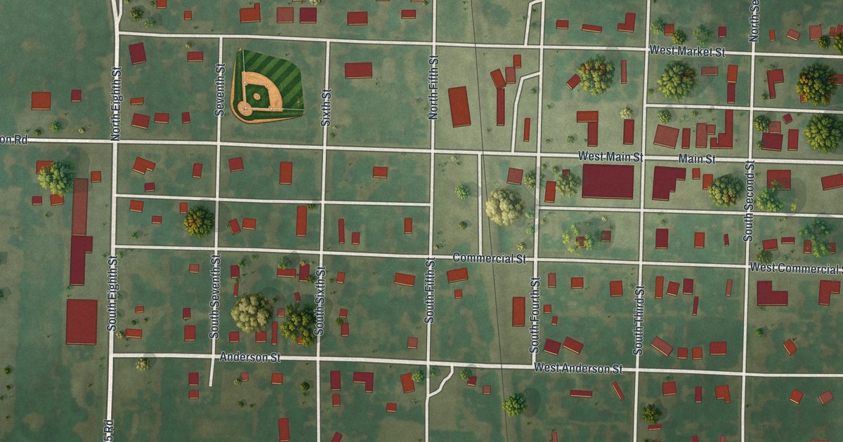
A detailed map of Sheldon, Missouri, showing every building in its true location, the roads by name, and shaded topographical relief.
Read More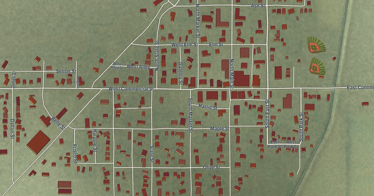
A detailed map of Senath, Missouri, showing every building in its true location, the roads by name, and shaded topographical relief.
Read More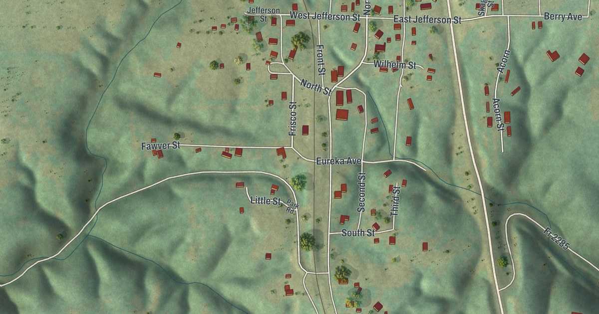
A detailed map of Seligman, Missouri, showing every building in its true location, the roads by name, and shaded topographical relief.
Read More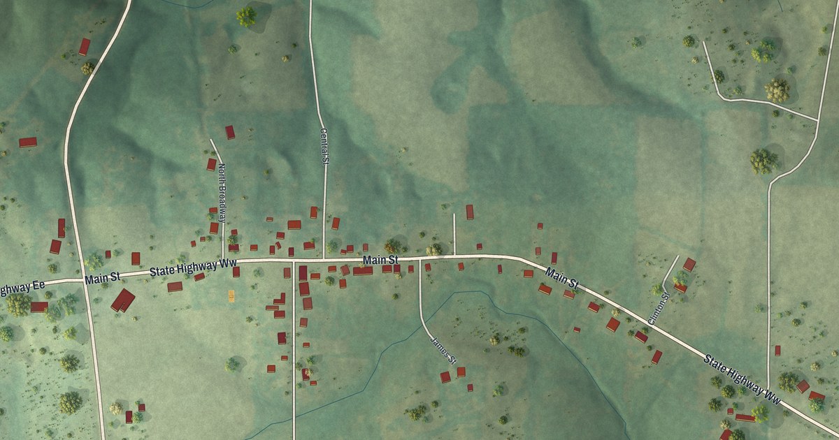
A detailed map of Sedgewickville, Missouri, showing every building in its true location, the roads by name, and shaded topographical relief.
Read More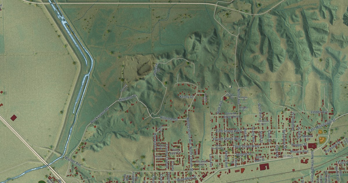
A detailed map of Scott City, Missouri, showing every building in its true location, the roads by name, and shaded topographical relief.
Read More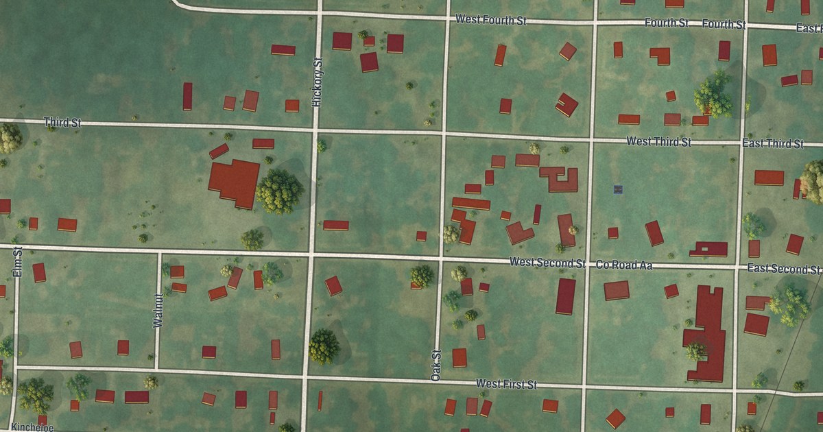
A detailed map of Schell City, Missouri, showing every building in its true location, the roads by name, and shaded topographical relief.
Read More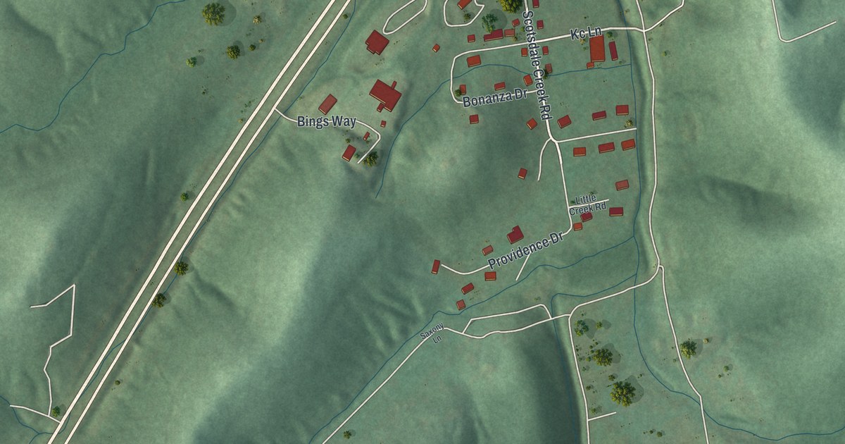
A detailed map of Scotsdale, Missouri, showing every building in its true location, the roads by name, and shaded topographical relief.
Read More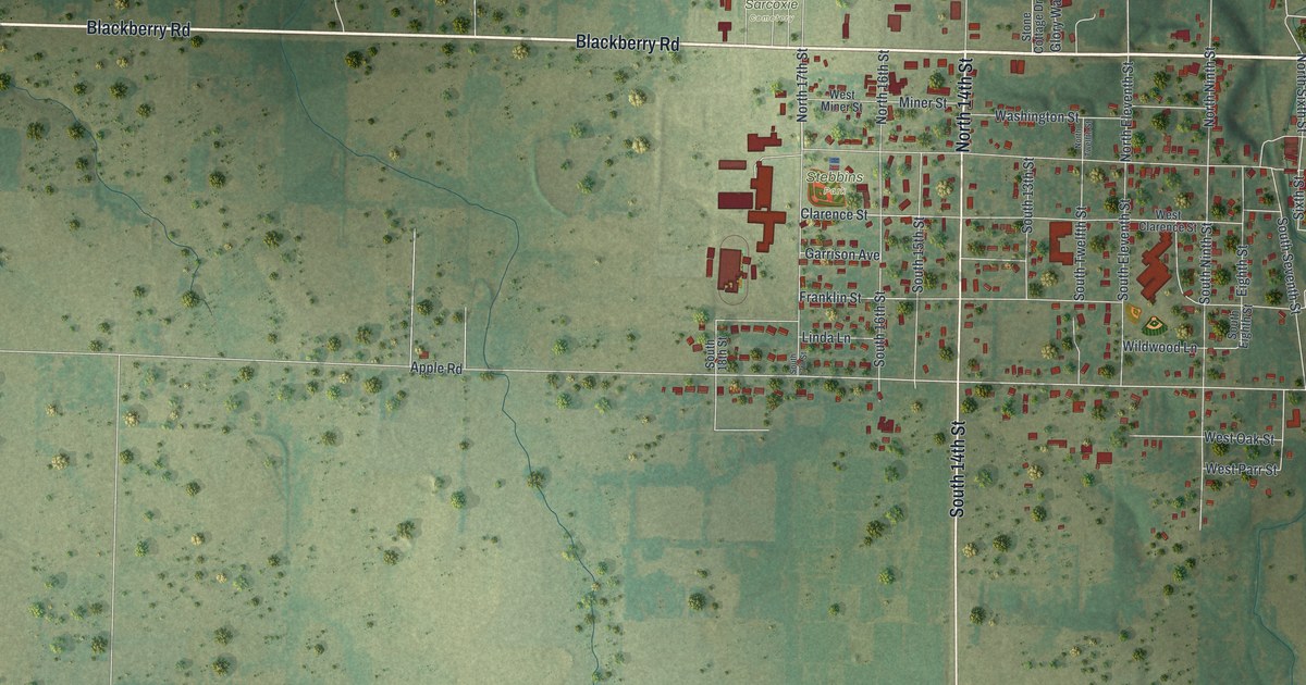
A detailed map of Sarcoxie, Missouri, showing every building in its true location, the roads by name, and shaded topographical relief.
Read More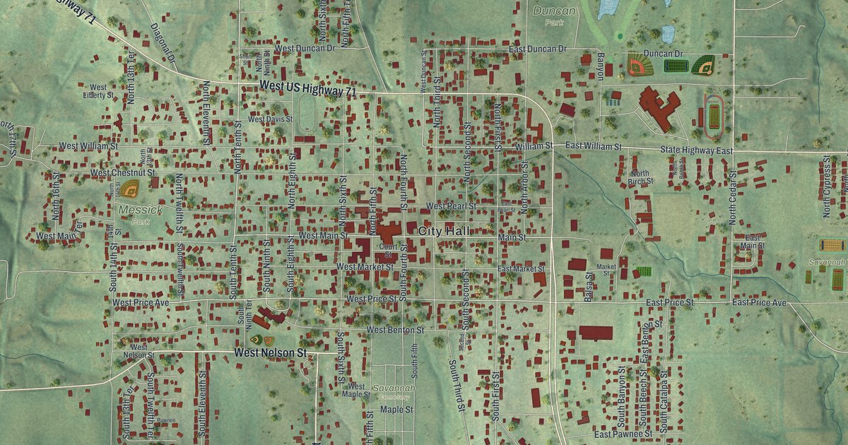
A detailed map of Savannah, Missouri, showing every building in its true location, the roads by name, and shaded topographical relief.
Read More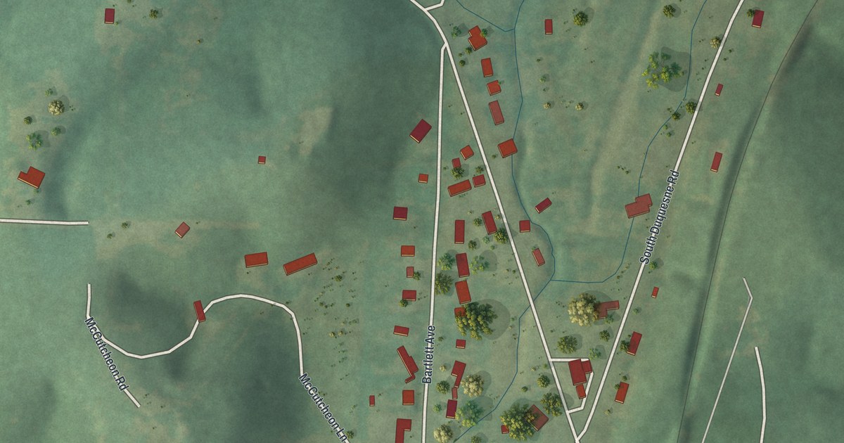
A detailed map of Saginaw, Missouri, showing every building in its true location, the roads by name, and shaded topographical relief.
Read More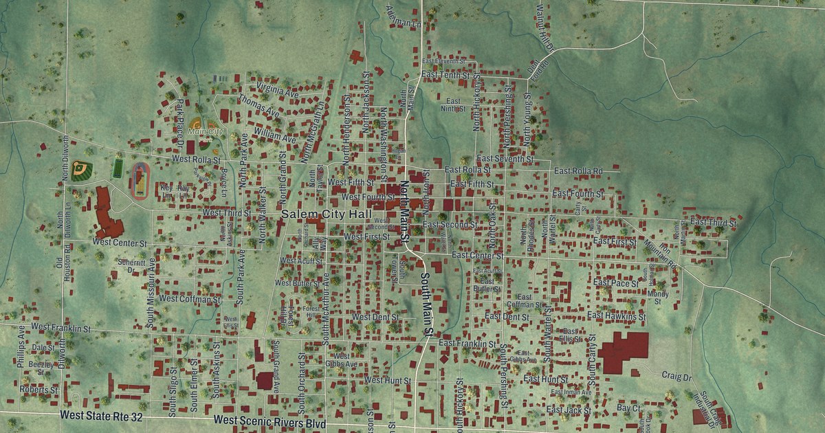
A detailed map of Salem, Missouri, showing every building in its true location, the roads by name, and shaded topographical relief.
Read More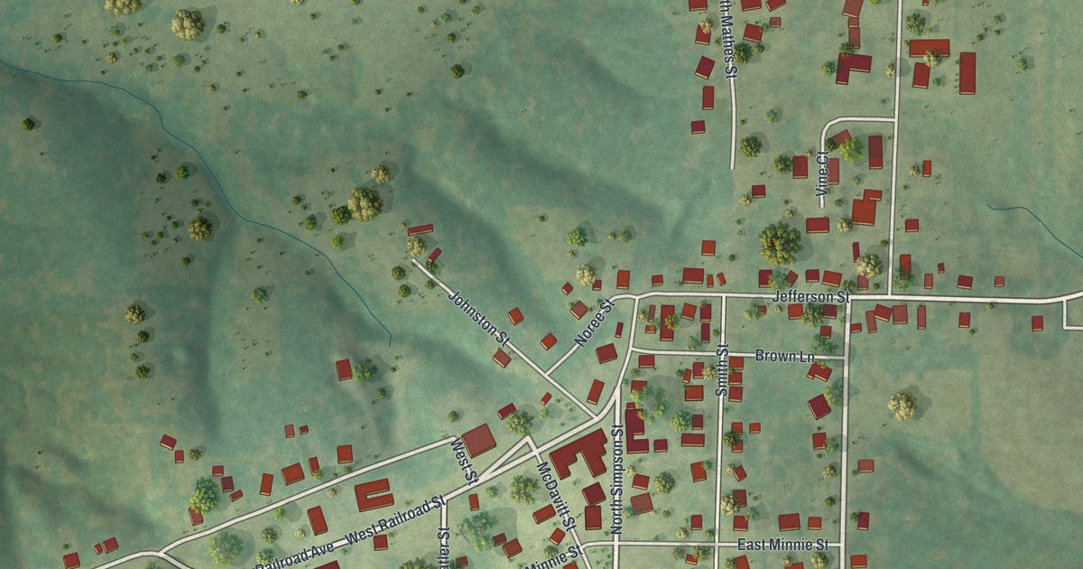
A detailed map of Russellville, Missouri, showing every building in its true location, the roads by name, and shaded topographical relief.
Read More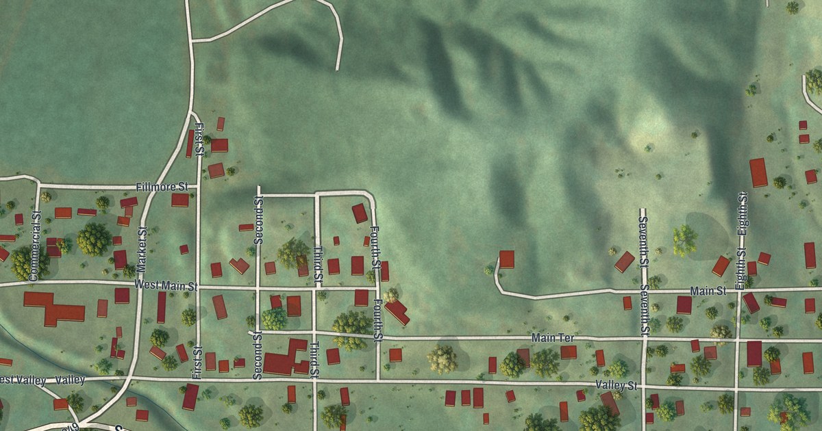
A detailed map of Rushville, Missouri, showing every building in its true location, the roads by name, and shaded topographical relief.
Read More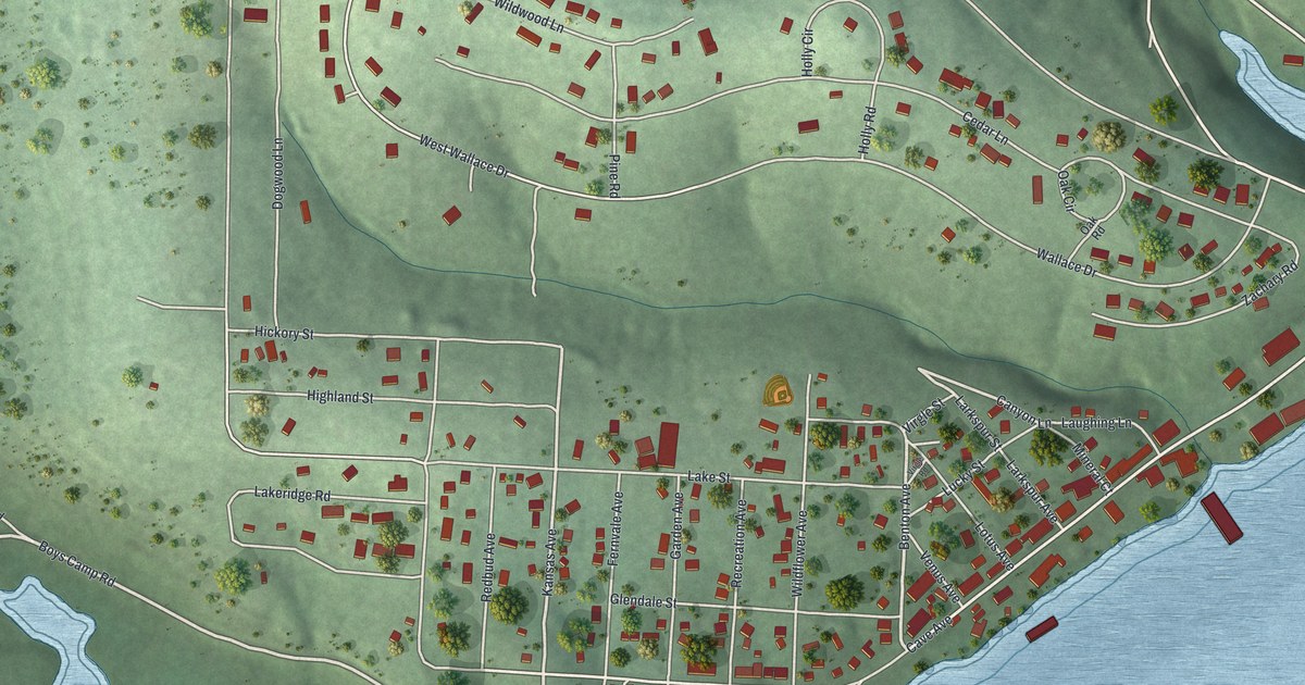
A detailed map of Rockaway Beach, Missouri, showing every building in its true location, the roads by name, and shaded topographical relief.
Read More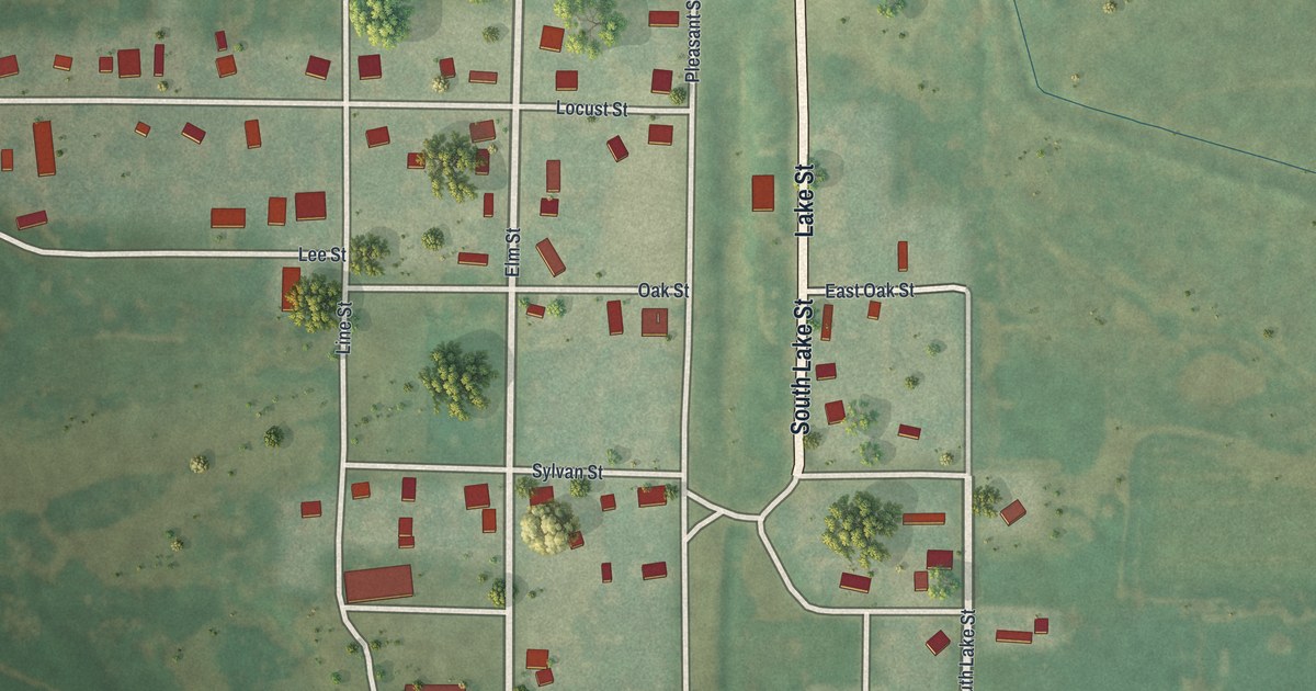
A detailed map of Rosendale, Missouri, showing every building in its true location, the roads by name, and shaded topographical relief.
Read More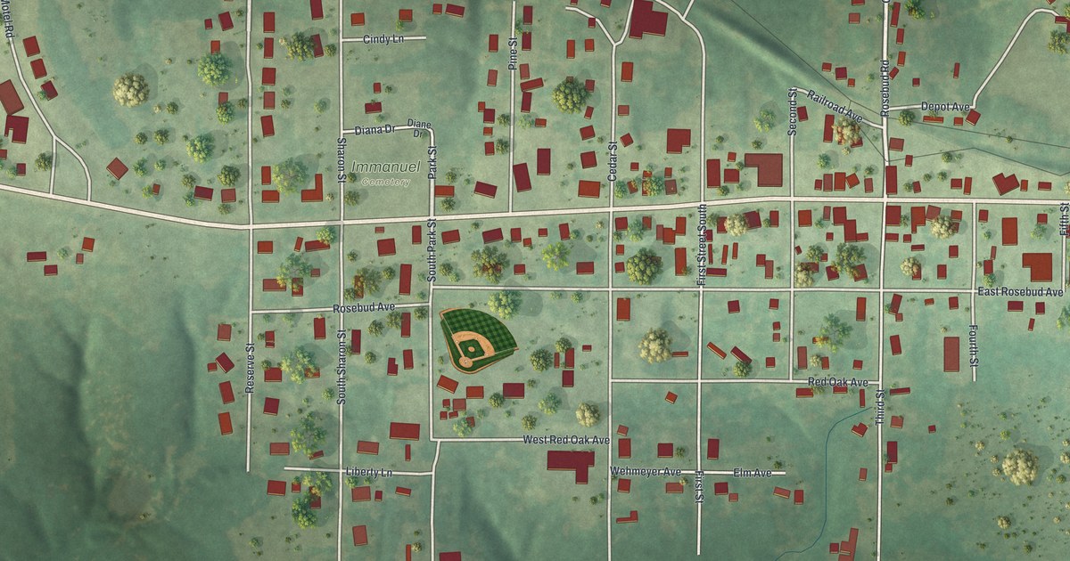
A detailed map of Rosebud, Missouri, showing every building in its true location, the roads by name, and shaded topographical relief.
Read More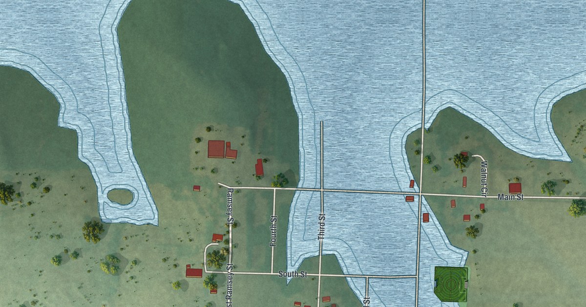
A detailed map of Roscoe, Missouri, showing every building in its true location, the roads by name, and shaded topographical relief.
Read More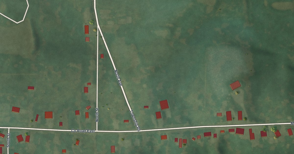
A detailed map of Rothville, Missouri, showing every building in its true location, the roads by name, and shaded topographical relief.
Read More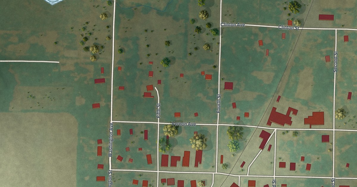
A detailed map of Rockville, Missouri, showing every building in its true location, the roads by name, and shaded topographical relief.
Read More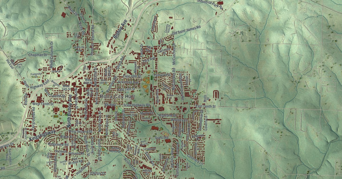
A detailed map of Rolla, Missouri, showing every building in its true location, the roads by name, and shaded topographical relief.
Read More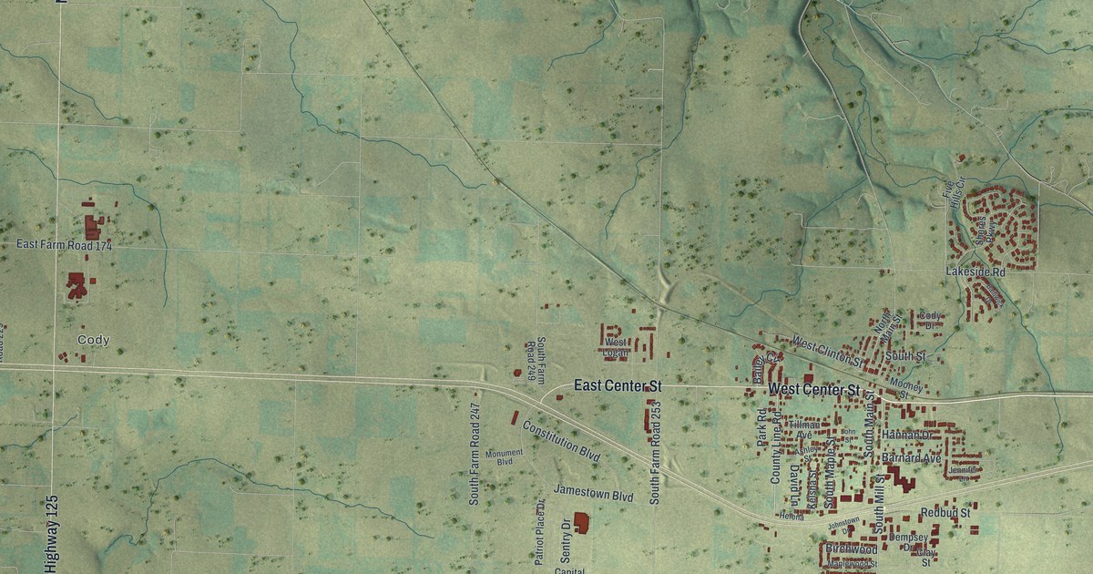
A detailed map of Rogersville, Missouri, showing every building in its true location, the roads by name, and shaded topographical relief.
Read More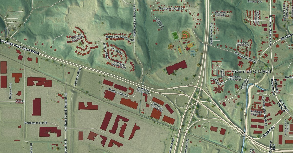
A detailed map of Riverside, Missouri, showing every building in its true location, the roads by name, and shaded topographical relief.
Read More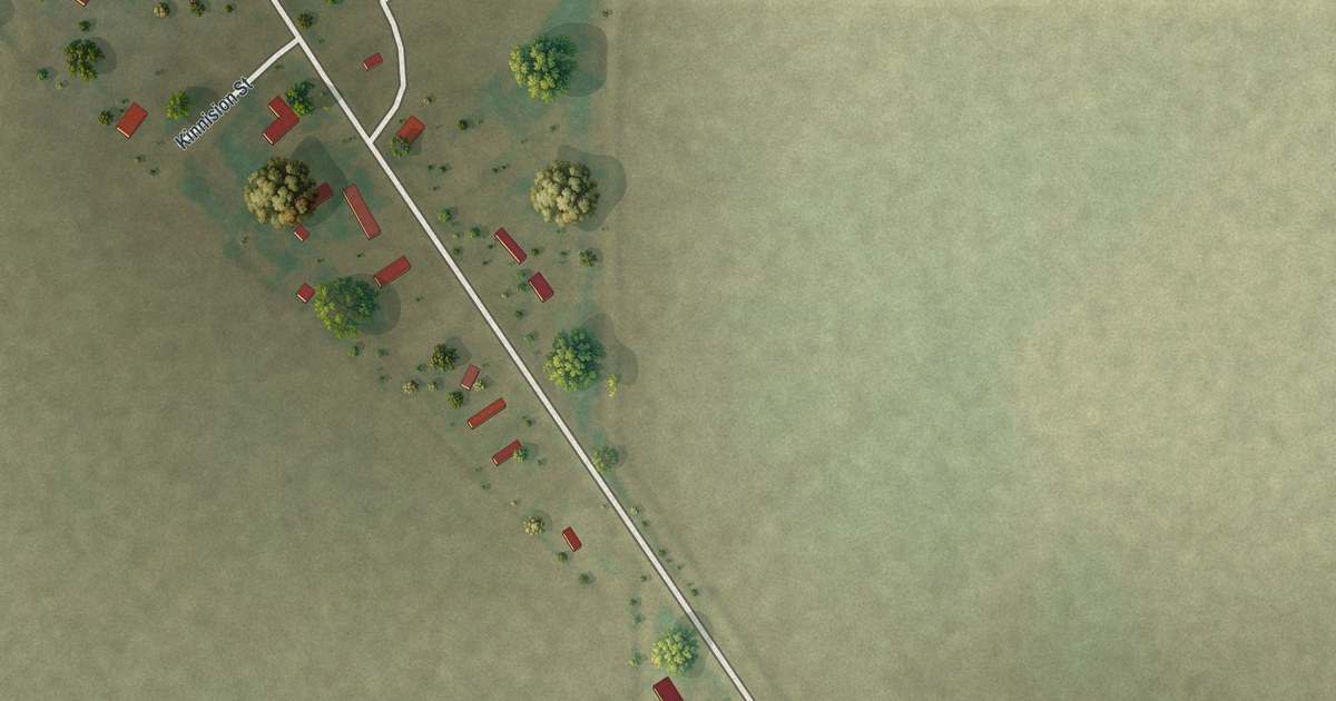
A detailed map of Rives, Missouri, showing every building in its true location, the roads by name, and shaded topographical relief.
Read More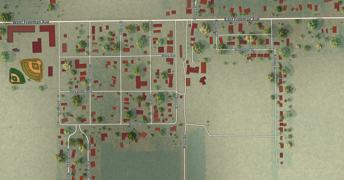
A detailed map of Risco, Missouri, showing every building in its true location, the roads by name, and shaded topographical relief.
Read More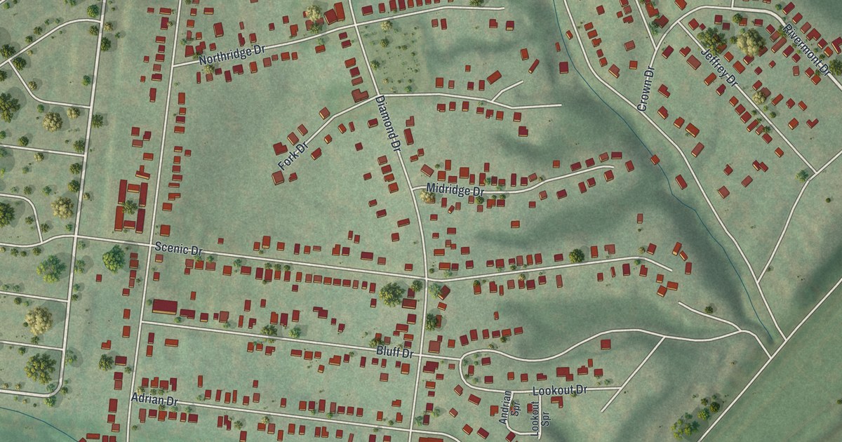
A detailed map of Riverview, Missouri, showing every building in its true location, the roads by name, and shaded topographical relief.
Read More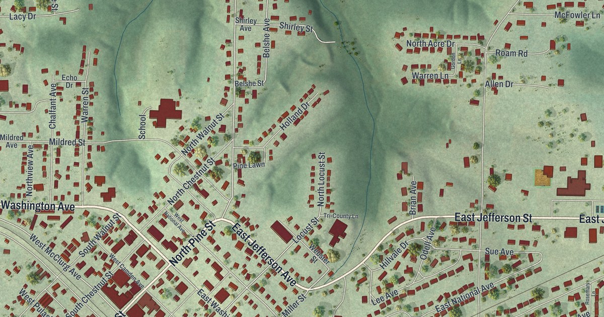
A detailed map of Richland, Missouri, showing every building in its true location, the roads by name, and shaded topographical relief.
Read More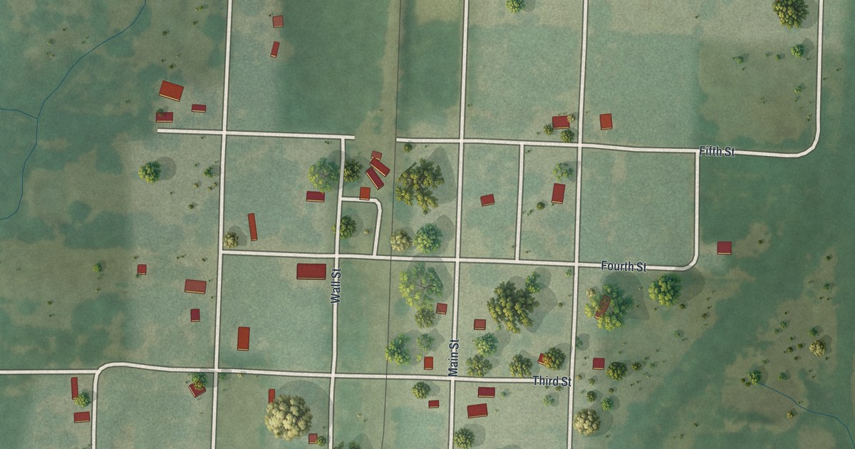
A detailed map of Richards, Missouri, showing every building in its true location, the roads by name, and shaded topographical relief.
Read More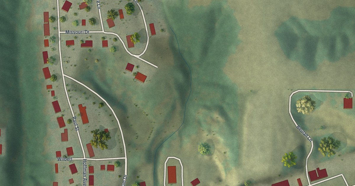
A detailed map of Rhineland, Missouri, showing every building in its true location, the roads by name, and shaded topographical relief.
Read More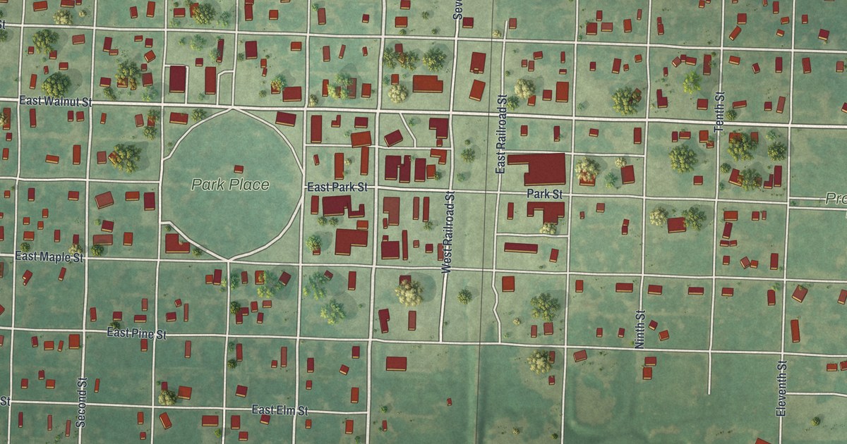
A detailed map of Rich Hill, Missouri, showing every building in its true location, the roads by name, and shaded topographical relief.
Read More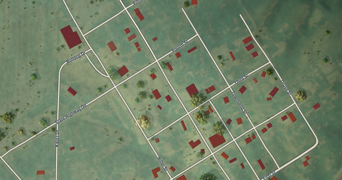
A detailed map of Revere, Missouri, showing every building in its true location, the roads by name, and shaded topographical relief.
Read More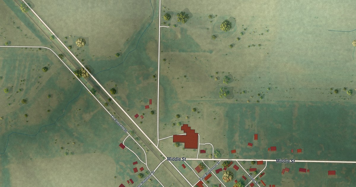
A detailed map of Renick, Missouri, showing every building in its true location, the roads by name, and shaded topographical relief.
Read More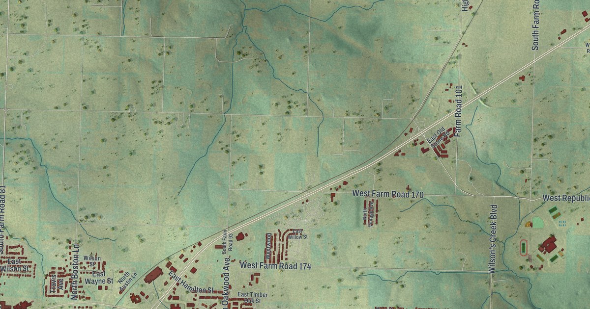
A detailed map of Republic, Missouri, showing every building in its true location, the roads by name, and shaded topographical relief.
Read More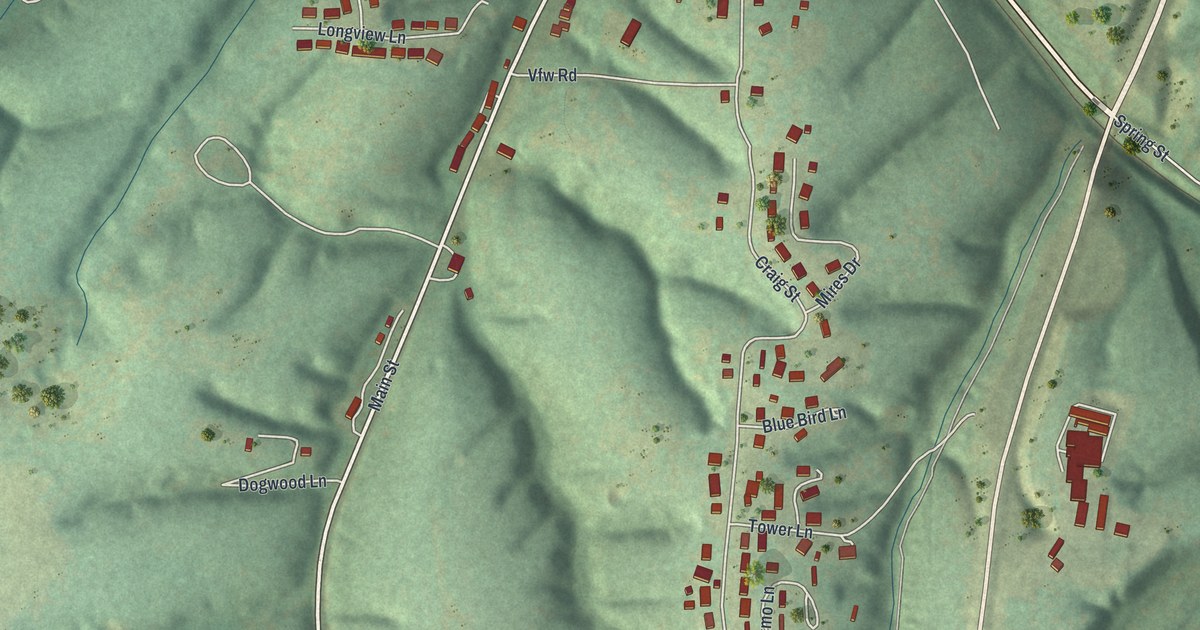
A detailed map of Reeds Spring, Missouri, showing every building in its true location, the roads by name, and shaded topographical relief.
Read More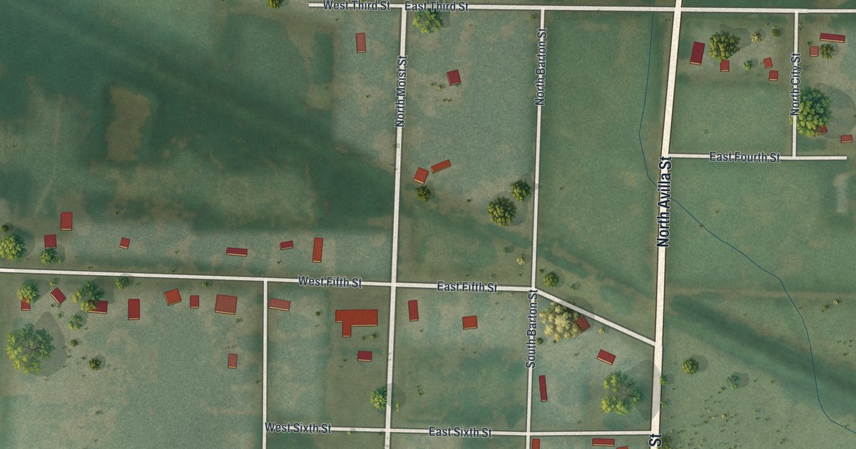
A detailed map of Reeds, Missouri, showing every building in its true location, the roads by name, and shaded topographical relief.
Read More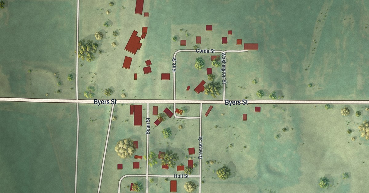
A detailed map of Rea, Missouri, showing every building in its true location, the roads by name, and shaded topographical relief.
Read More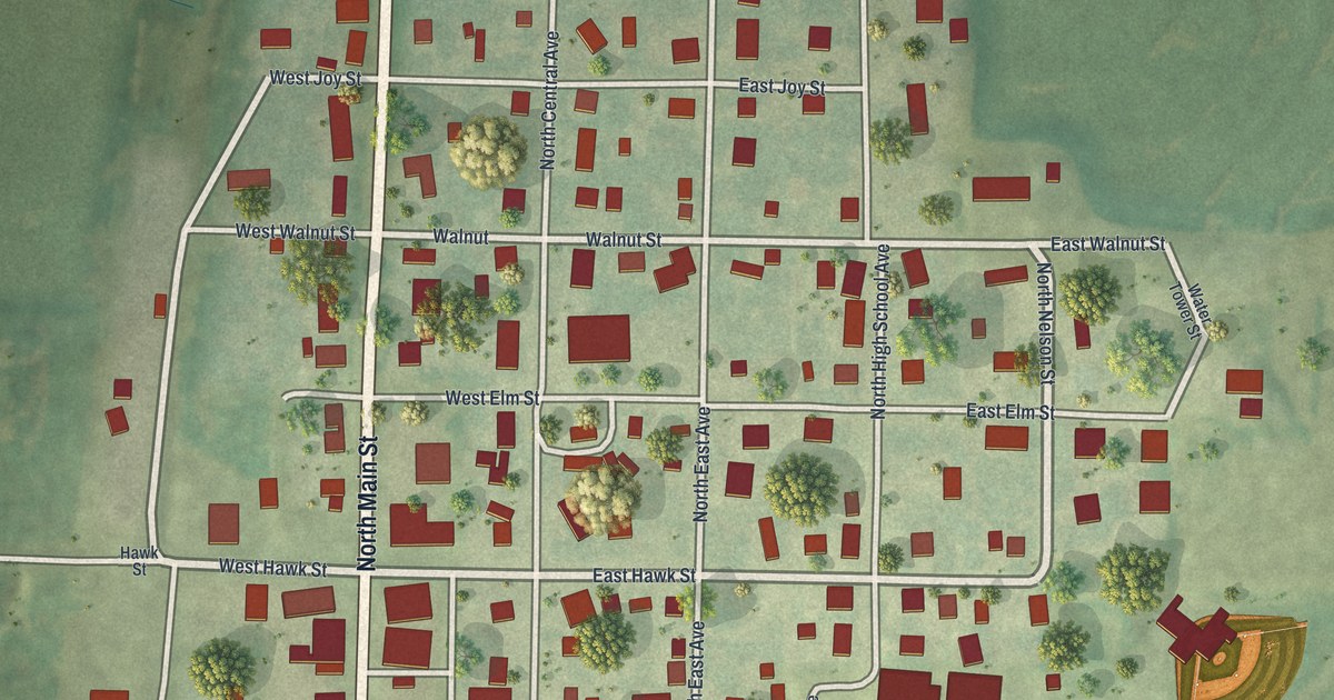
A detailed map of Ravenwood, Missouri, showing every building in its true location, the roads by name, and shaded topographical relief.
Read More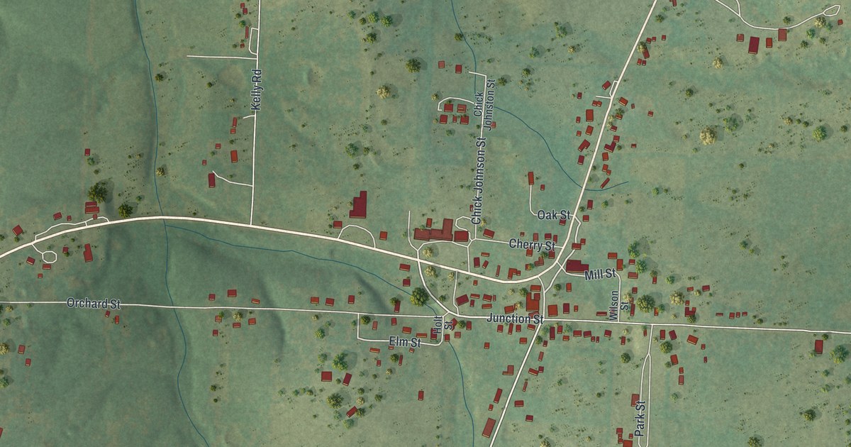
A detailed map of Raymondville, Missouri, showing every building in its true location, the roads by name, and shaded topographical relief.
Read More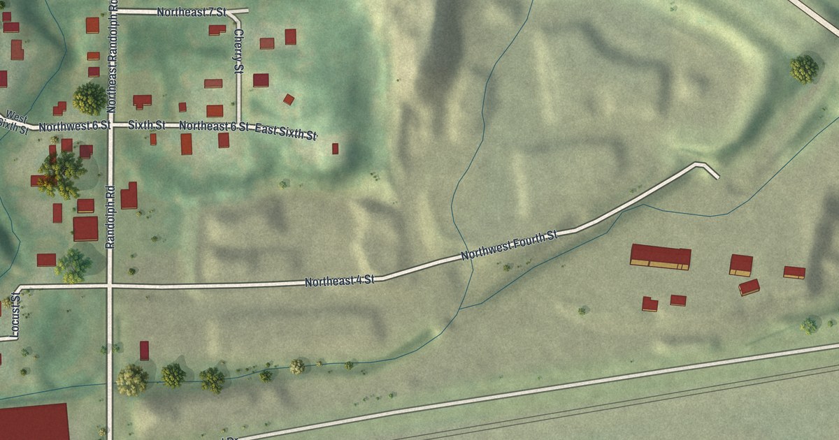
A detailed map of Randolph, Missouri, showing every building in its true location, the roads by name, and shaded topographical relief.
Read More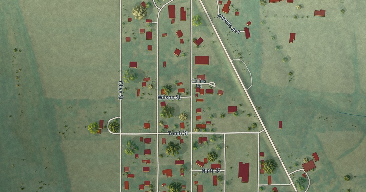
A detailed map of Queen City, Missouri, showing every building in its true location, the roads by name, and shaded topographical relief.
Read More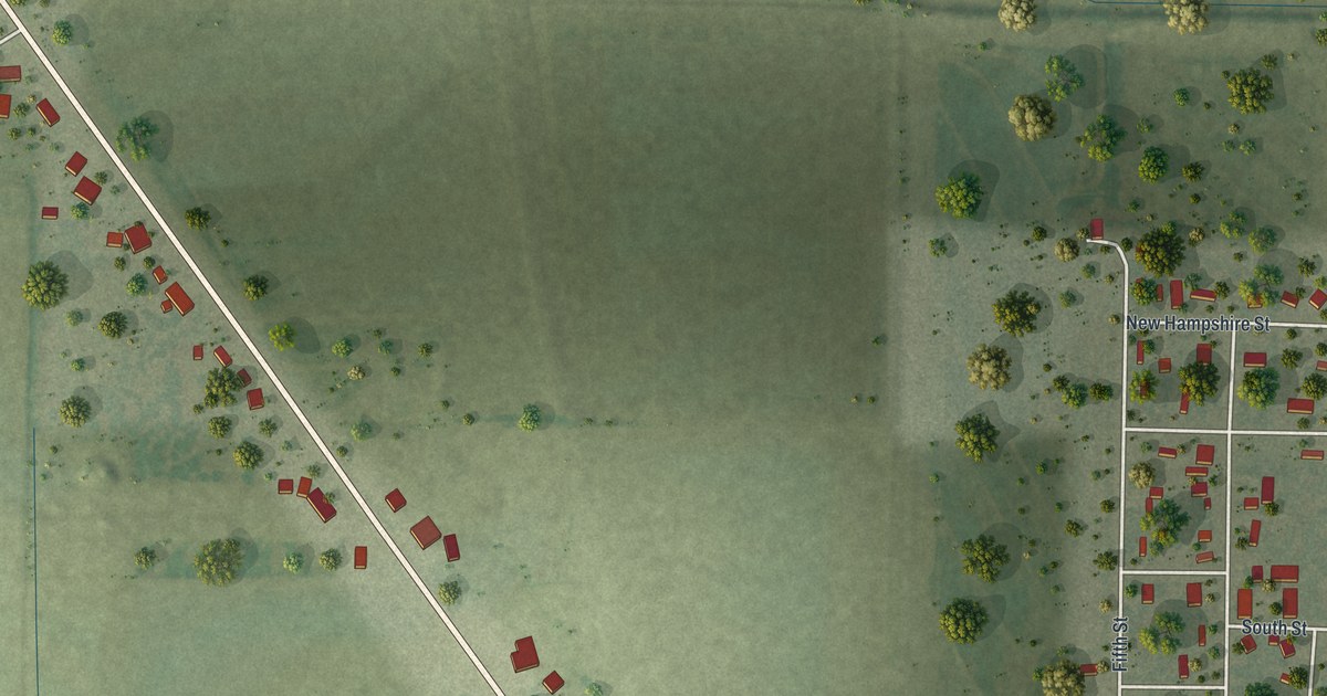
A detailed map of Qulin, Missouri, showing every building in its true location, the roads by name, and shaded topographical relief.
Read More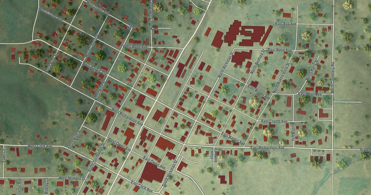
A detailed map of Puxico, Missouri, showing every building in its true location, the roads by name, and shaded topographical relief.
Read More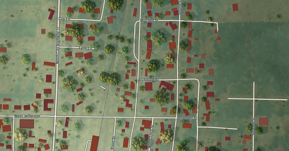
A detailed map of Purdy, Missouri, showing every building in its true location, the roads by name, and shaded topographical relief.
Read More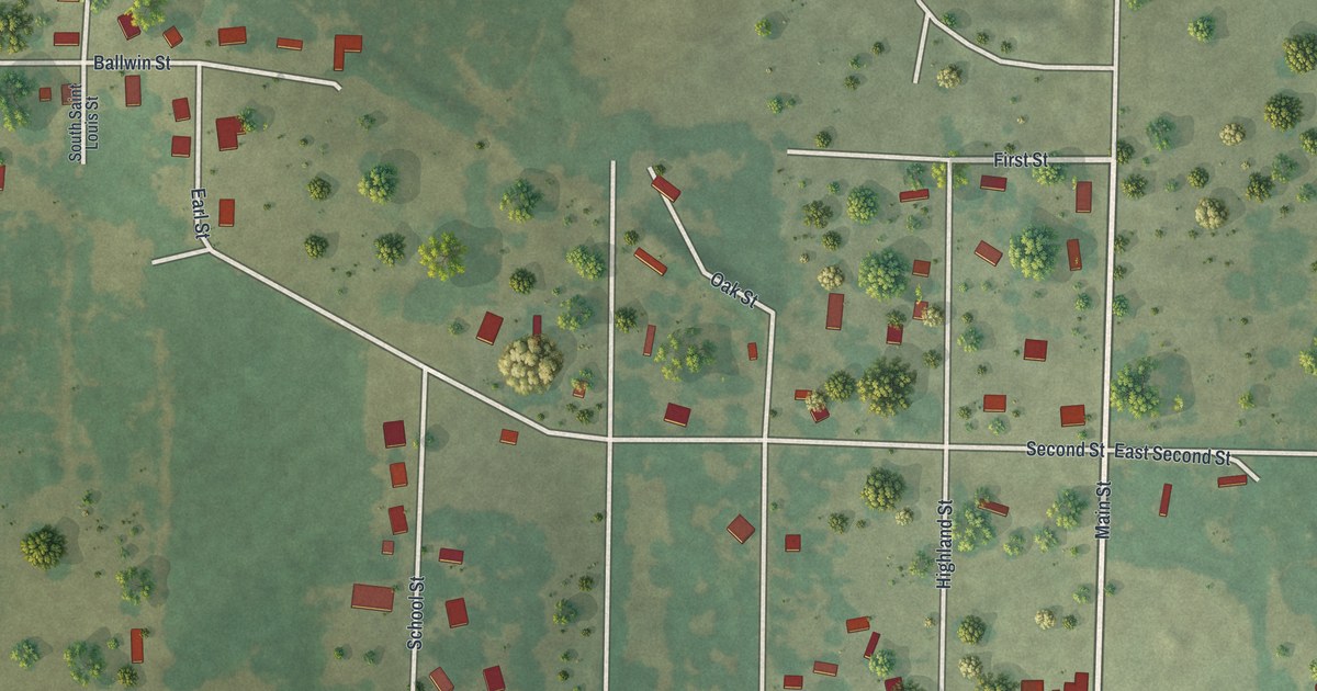
A detailed map of Purcell, Missouri, showing every building in its true location, the roads by name, and shaded topographical relief.
Read More