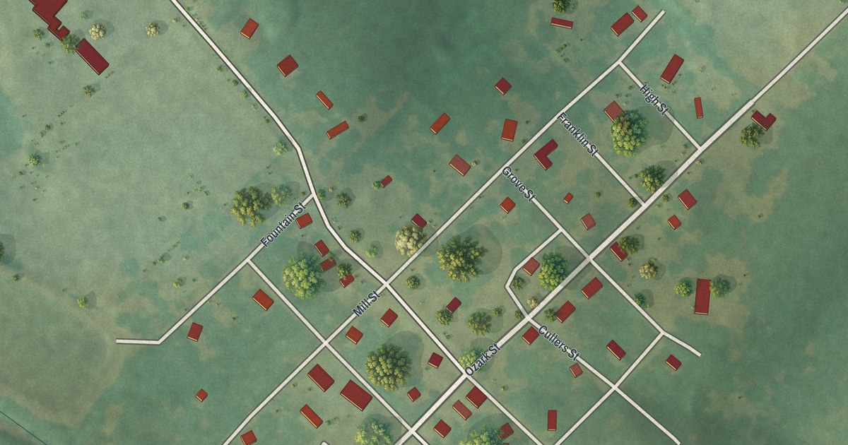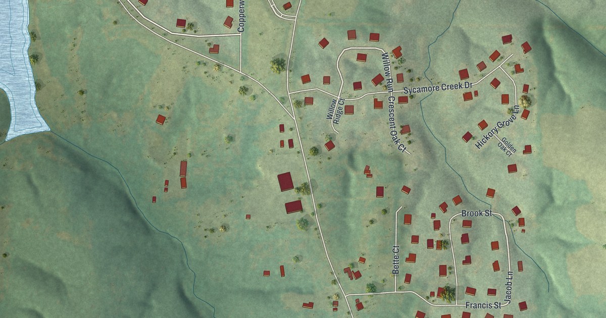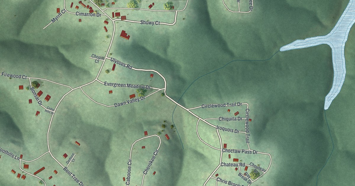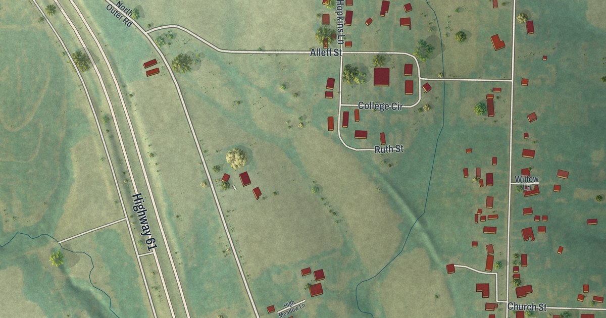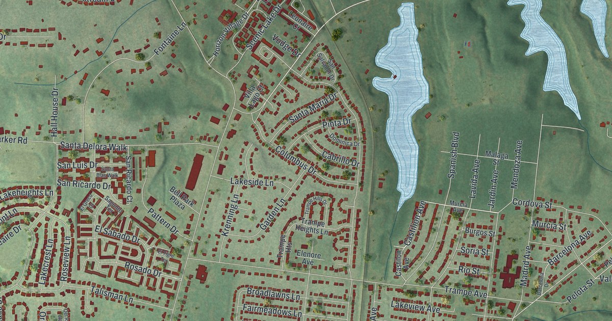
This beautifully detailed map of Spanish Lake, Missouri was created in 2026 using aerial imagery combined with modern topographical, census, street and landmark data. It’s a one-of-a-kind view of Spanish Lake that combines accurate data with a vintage aesthetic. The map shows every building in its true location, many of the roads carry their names, and the shaded topographic relief shows the shape of the land.
Explore an aerial view of Spanish Lake, Missouri
On the map you’ll find Larimore and Larimore Road Park, along with Lewis and Clark Boulevard, Castilion Avenue, Murcia Street, El Sabado Drive, Spanish Pond Road, Rosado Drive, Riverview Drive, Arrowpoint Drive, Larimore Road, Columbia Bottom Road, and more. If you look closely you can even find your house accurately drawn in its correct location. Zoom in on the preview to look for yours.
Did you know this piece of Spanish Lake, Missouri history?
From About St. Louis: "Another landmark was the Spanish Lake Blacksmith Shop which was built in 1876."
Take a closer look at the Spanish Lake map
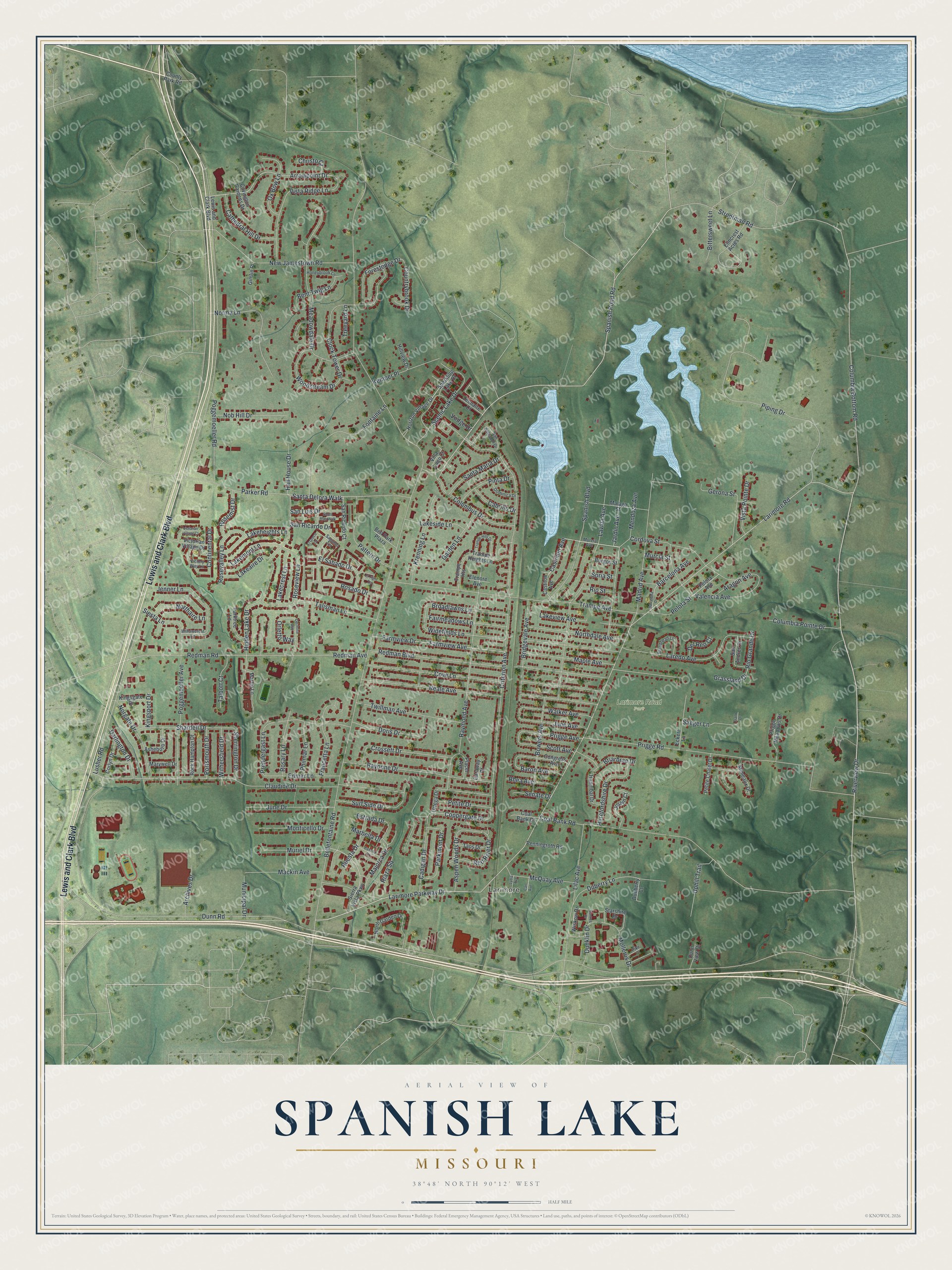
Street and place names on the Spanish Lake, Missouri map
These names are printed on the map of Spanish Lake, Missouri.
Places: Larimore and Larimore Road Park.
Streets and roads: Lewis and Clark Boulevard, Castilion Avenue, Murcia Street, El Sabado Drive, Spanish Pond Road, Rosado Drive, Riverview Drive, Arrowpoint Drive, Larimore Road, Columbia Bottom Road, Larimore Parkway Drive, San Ricardo Drive.
More street names, A to Z
Aragon Avenue, Archives Drive, Asheboro Drive, Aspen Woods Drive, Barcelona Avenue, Barcelona Drive, Baron Avenue, Bavona Drive, Bayonne Drive, Bellefontaine Road, Bell Park Plaza, Bent Twig Lane, Bittersweet Lane, Bowers Avenue, Briarbrae Drive, Bridgevale Avenue, Broadhead Lane, Broadlawns Lane, Burgos Street, Cabrillo Drive, Cadigan Drive, Caraway Court, Carl Avenue, Castilon Avenue, Cathedral Hill Drive, Christo Court, Claudine Drive, Clock Tower Drive, Coal Bank Court, Coal Bank Road, Columbia Pointe Drive, Columbus Drive, Congress Avenue, Continental Drive, Coppergate Drive, Cordova Street, Corlyn Drive, Countrybrook Drive, County Park Road, Cove Lane, Covington Gardens Drive, Criterion Avenue, Crossett Drive, Darlington Drive, Del Reo Court, Del Rosa Way, Dominica Drive, Doris Drive, Duberry Lane, Dueberry Court, Dunklin Drive, Dunn Road, Dunn View Drive, Eckert Lane, Edmar Lane, Elenore Avenue, El Greco Court, Elmcrest Acres Road, El Tigre Terrace, Estrada Drive, Fairmeadows Lane, Farmview Avenue, Farmview Drive, Fontaine Lane, Forestedge Drive, Francetta Lane, Frank Drive, Garden Lane, Gerona Street, Gimlin Place, Grassland Drive, Hall House Drive, Hannibal Drive, Herefordshire Drive, Hidden Lake Drive, Hillview Drive, Honeybrook Lane, Horizon Village Drive, Jardin Avenue, Jenner Lane, Joslyn Court, June Avenue, June Drive, Kemper Place, Kingsgate Drive, Kingsport Drive, Krenning Lane, Lakeaire Drive, Lakecrest Lane, Lakeheights Lane, Lakemont Lane, Lakeside Lane, Lakeview Avenue, Laredo Avenue, Lavida Avenue, Leonaire Court, Lilac Avenue, Lusher Road, Lydia Avenue, Mackin Avenue, Madrid Avenue, Majorca Drive, Malaga Street, Maple Avenue, Marbella Drive, Martin Lane, Marywell Drive, McQuay Avenue, Meadowdale Drive, Mendoza Avenue, Mimeaux Drive, Mollerus Drive, Monticello Drive, Municipal Drive, Murcia Avenue, Muriel Drive, New Jamestown Road, Nob Hill Drive, Norgate Drive, Norma Lane, Northaire Lane, Northdale Avenue, North Garden Drive, Orletto Way, Ortega Drive, Ox Bow Lane, Parker Road, Parkmont Drive, Parktree Lane, Pattern Drive, Pelota Avenue, Pelota Street, Penningroth Road, Petite Chalet Drive, Petite Drive, Philmar Lane, Pike Court, Pinta Drive, Piping Drive, Placer Avenue, Poggemoeller Avenue, Poggemoeller Road, Portsmouth Drive, Prendergast Lane, Prigge Avenue, Prigge Meadows Drive, Prigge Road, Raymond Avenue, Reale Avenue, Redman Avenue, Redman Boulevard, Redman Road, Red River Drive, Rhea Avenue, Riaza Square, Rio Grande Drive, Rio Street, Rock Hampton Drive, Rosary Lane, Rosemist Drive, Rosevalley Lane, Roseview Lane, Ruesta Drive, Saeger Lane, Sagunto Terrace, San Andres Drive, San Luis Drive, San Ricardo Court, San Salvador Drive, Santa Blas Walk, Santa Delora Walk, Santa Maria Drive, Scenic Lake Drive, Scott Avenue, Senate Drive, Shardell Drive, Sherrington Drive, Sierra Vista Parkway, Siesta Lane, Soria Street, Spanish Boulevard, Sparkling Lake Drive, Starshire Drive, Strodtman Road, Suntree Drive, Surf Side Drive, Talbott Court, Talisman Lane, Taos Drive, Trampe Avenue, Trampe Heights, Trampe Heights Lane, Trampe Hills Drive, Treeyard Lane, Twillman Avenue, Uphill Trail, Valencia Avenue, Victorian Village Court, Victorian Village Drive, Victory Way Lane, Villa Lago Court, Vista Pointe Drive, Vista Ridge Lane, Vodge Drive, Walker Avenue, Widefields Lane, Willowcrest Lane, Wiskow Drive, Withersfield Drive, Woodstream Drive.
See the Spanish Lake, Missouri map on a wall
The Spanish Lake map as an 18 x 24 inch print in a black frame.

This beautifully detailed map of Spanish Lake makes an attractive addition to your office, library, or den, and it can even be used to teach children the geography and history of the area. It also makes a great gift for anyone with Spanish Lake roots. When you’re done exploring, click here to get your copy of the Spanish Lake map.