Detailed Map of Portageville, Missouri
A detailed map of Portageville, Missouri, showing every building in its true location, the roads by name, and shaded topographical relief.
Read More
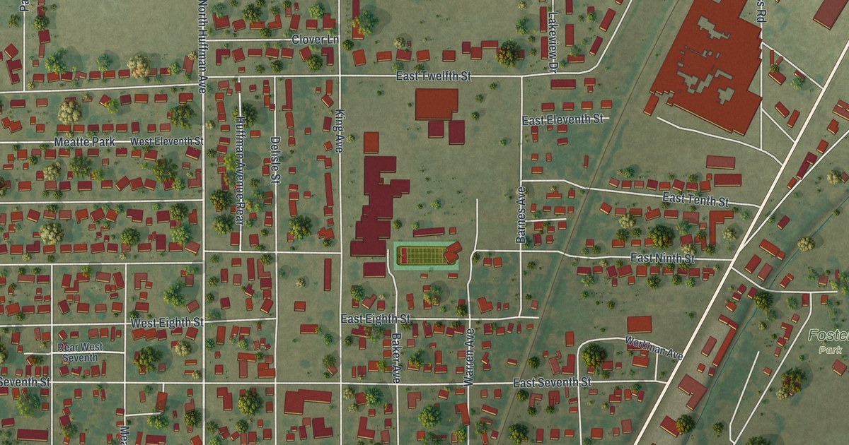
A detailed map of Portageville, Missouri, showing every building in its true location, the roads by name, and shaded topographical relief.
Read More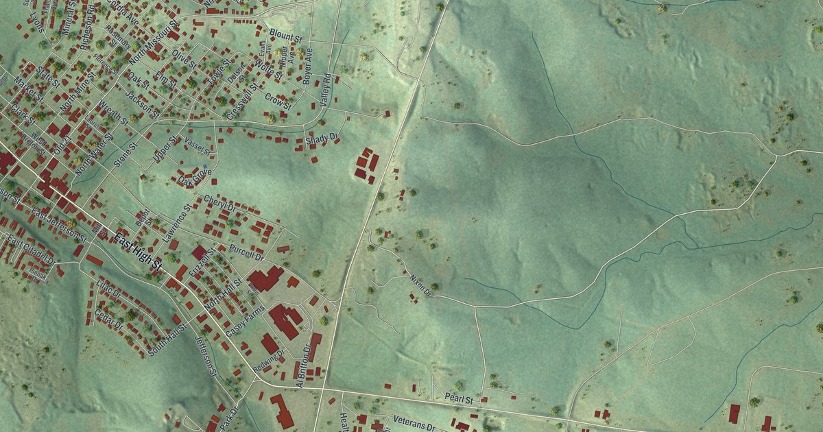
A detailed map of Potosi, Missouri, showing every building in its true location, the roads by name, and shaded topographical relief.
Read More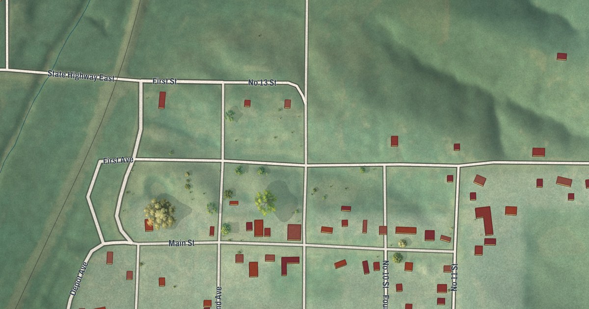
A detailed map of Powersville, Missouri, showing every building in its true location, the roads by name, and shaded topographical relief.
Read More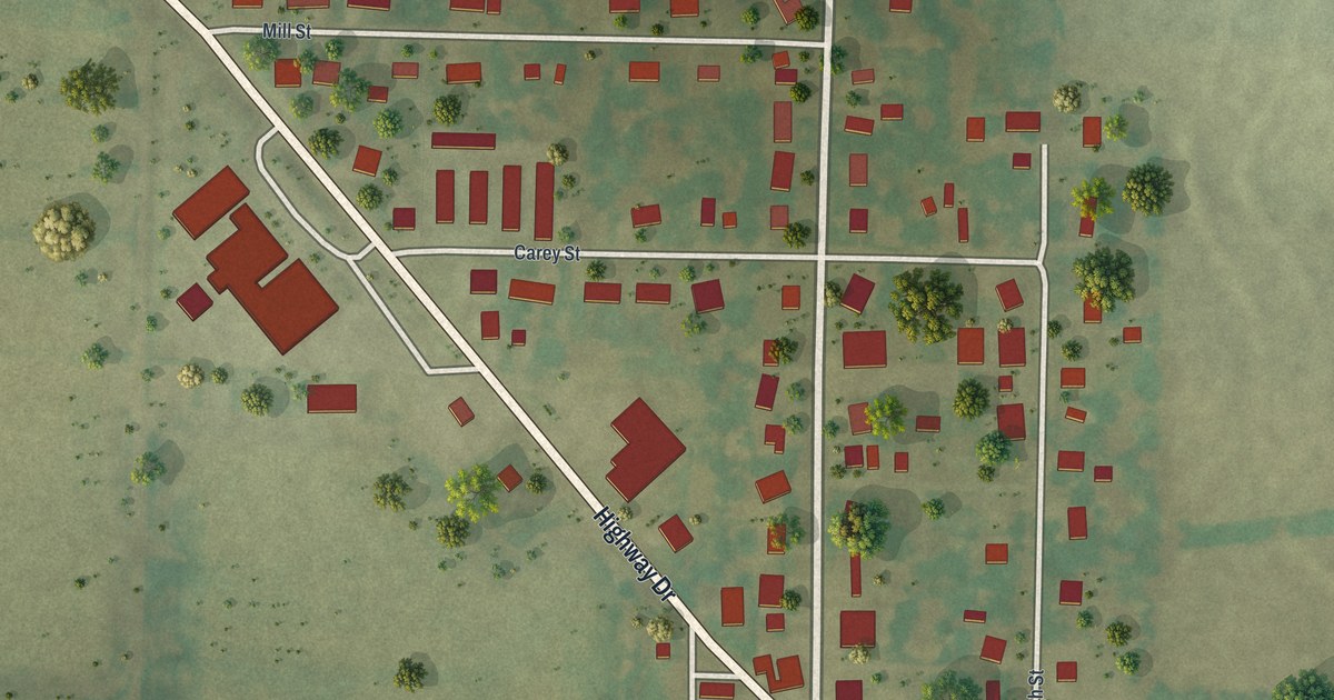
A detailed map of Prairie Home, Missouri, showing every building in its true location, the roads by name, and shaded topographical relief.
Read More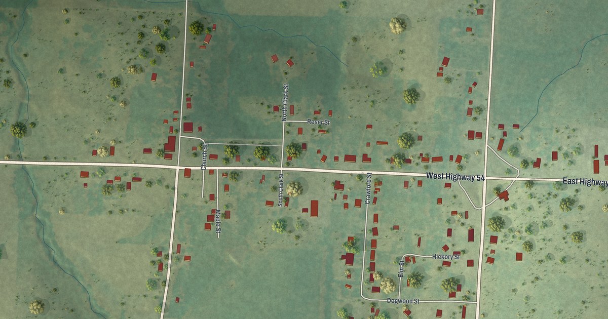
A detailed map of Preston, Missouri, showing every building in its true location, the roads by name, and shaded topographical relief.
Read More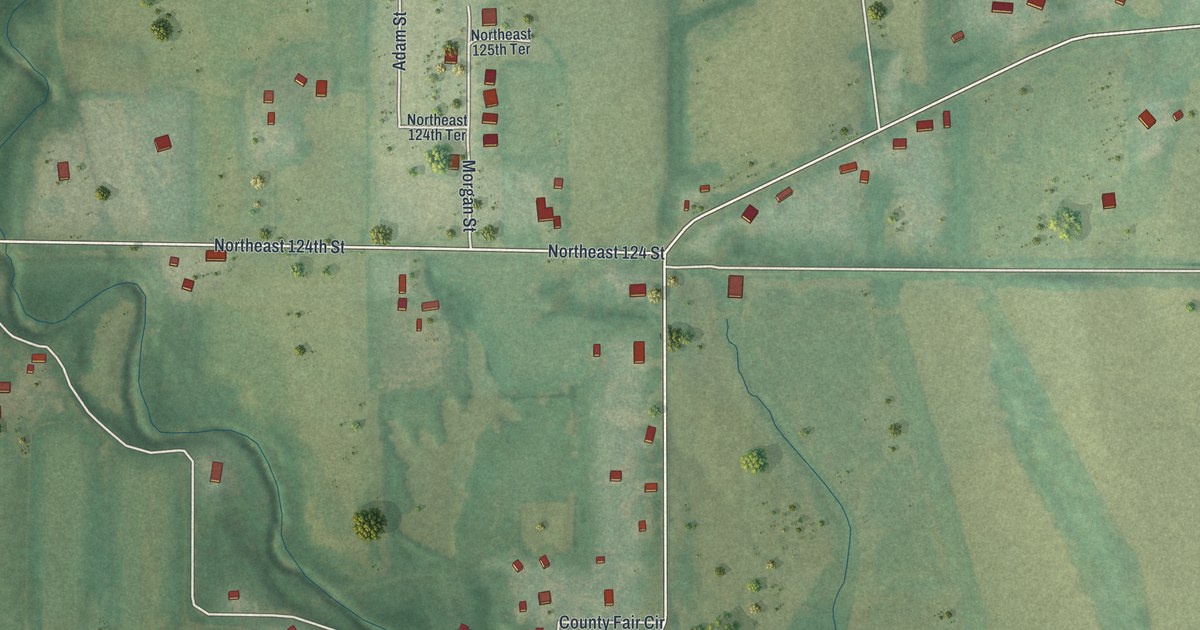
A detailed map of Prathersville, Missouri, showing every building in its true location, the roads by name, and shaded topographical relief.
Read More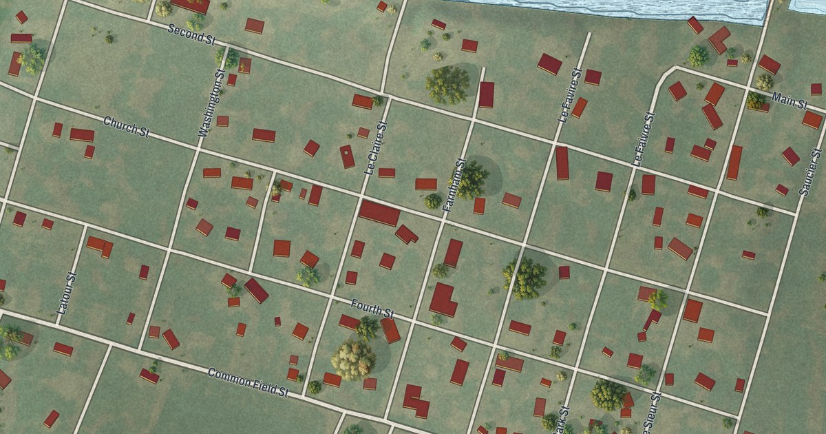
A detailed map of Portage Des Sioux, Missouri, showing every building in its true location, the roads by name, and shaded topographical relief.
Read More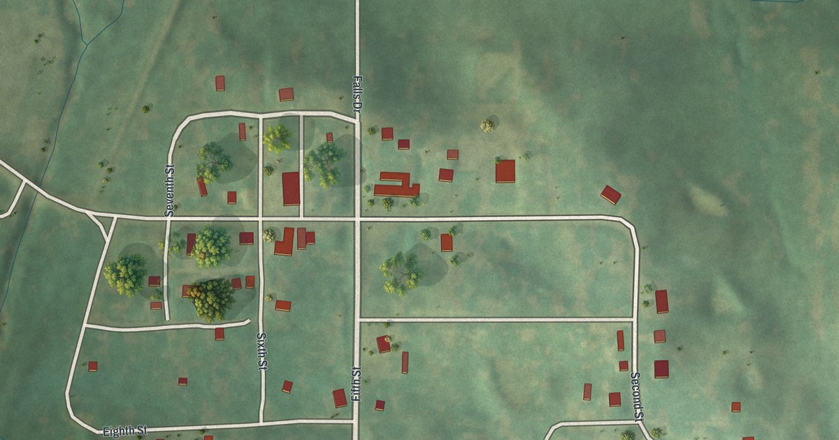
A detailed map of Pollock, Missouri, showing every building in its true location, the roads by name, and shaded topographical relief.
Read More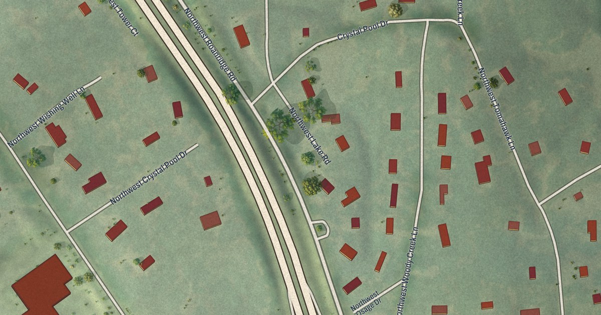
A detailed map of Platte Woods, Missouri, showing every building in its true location, the roads by name, and shaded topographical relief.
Read More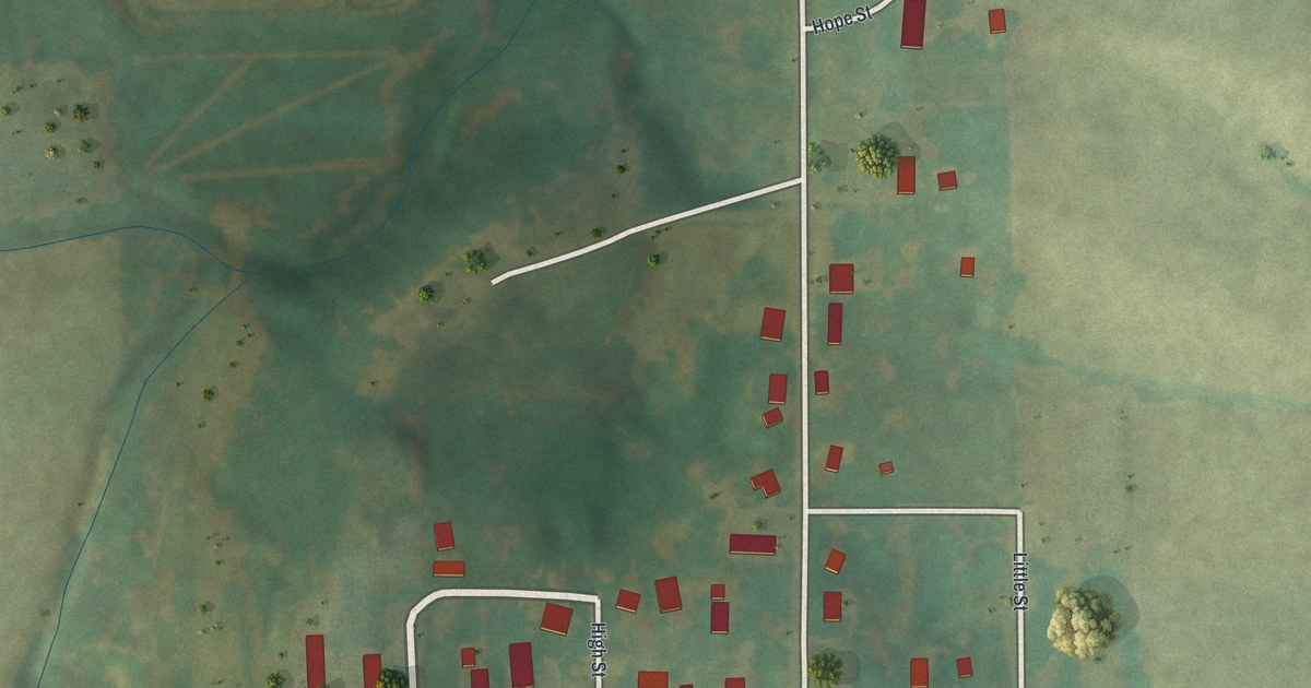
A detailed map of Pocahontas, Missouri, showing every building in its true location, the roads by name, and shaded topographical relief.
Read More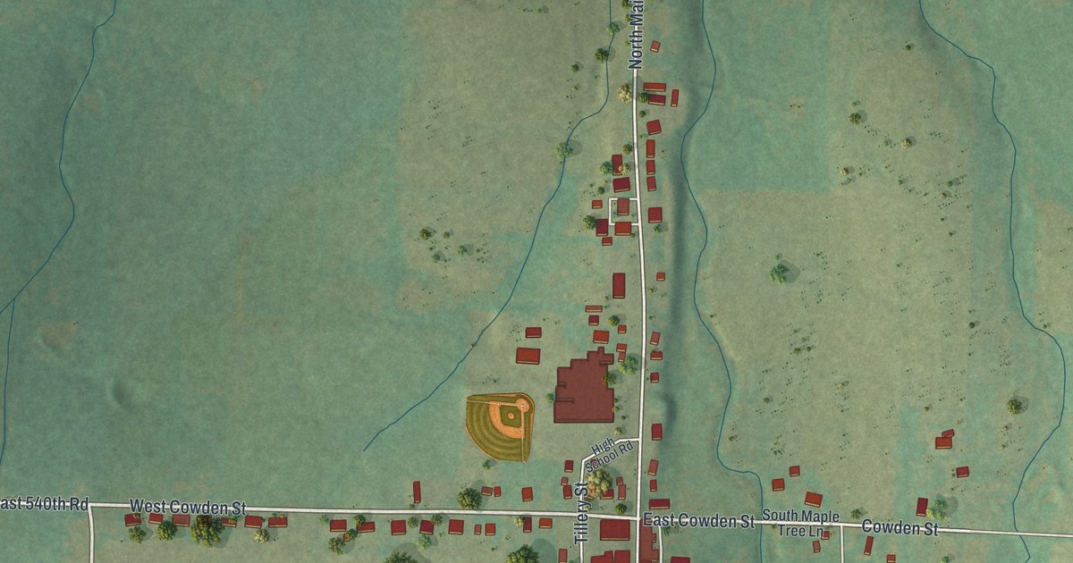
A detailed map of Pleasant Hope, Missouri, showing every building in its true location, the roads by name, and shaded topographical relief.
Read More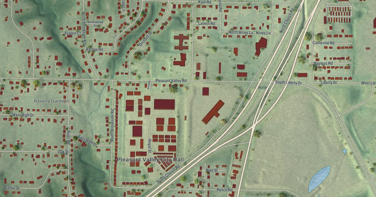
A detailed map of Pleasant Valley, Missouri, showing every building in its true location, the roads by name, and shaded topographical relief.
Read More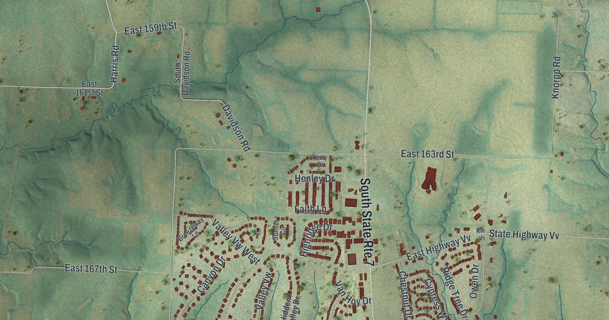
A detailed map of Pleasant Hill, Missouri, showing every building in its true location, the roads by name, and shaded topographical relief.
Read More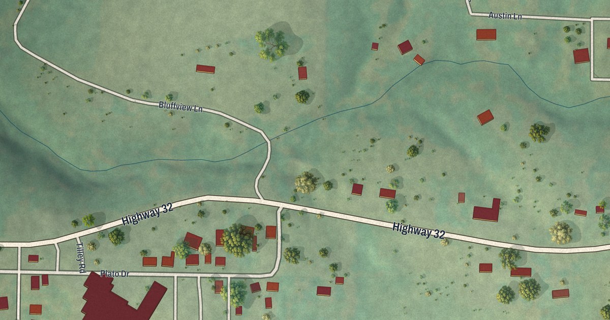
A detailed map of Plato, Missouri, showing every building in its true location, the roads by name, and shaded topographical relief.
Read More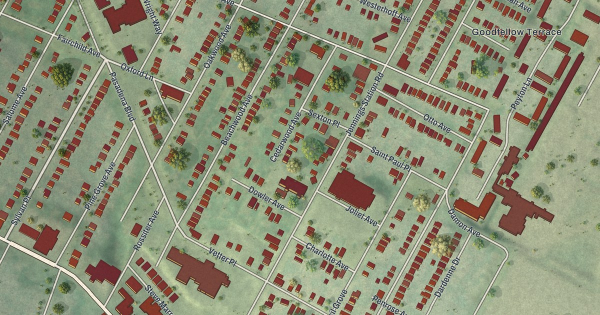
A detailed map of Pine Lawn, Missouri, showing every building in its true location, the roads by name, and shaded topographical relief.
Read More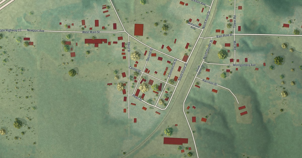
A detailed map of Phillipsburg, Missouri, showing every building in its true location, the roads by name, and shaded topographical relief.
Read More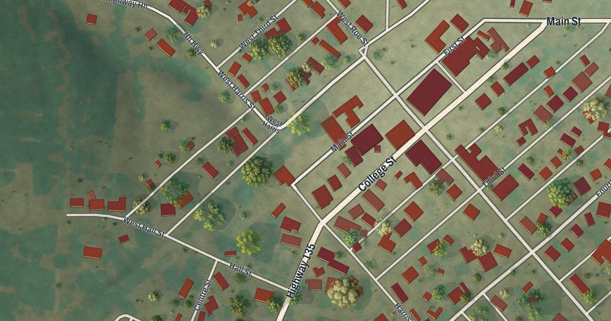
A detailed map of Pilot Grove, Missouri, showing every building in its true location, the roads by name, and shaded topographical relief.
Read More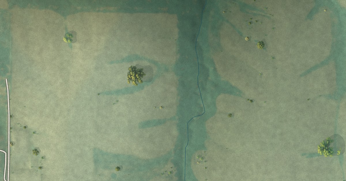
A detailed map of Pendleton, Missouri, showing every building in its true location, the roads by name, and shaded topographical relief.
Read More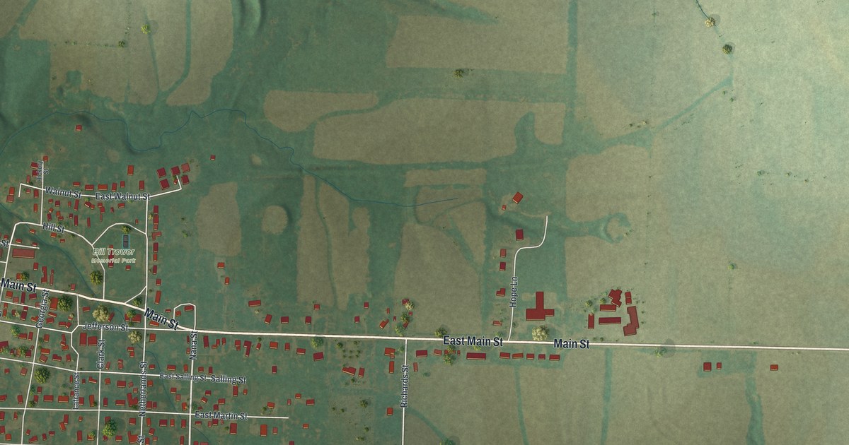
A detailed map of Perry, Missouri, showing every building in its true location, the roads by name, and shaded topographical relief.
Read More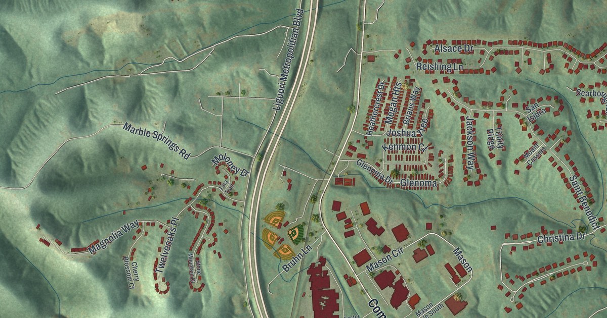
A detailed map of Pevely, Missouri, showing every building in its true location, the roads by name, and shaded topographical relief.
Read More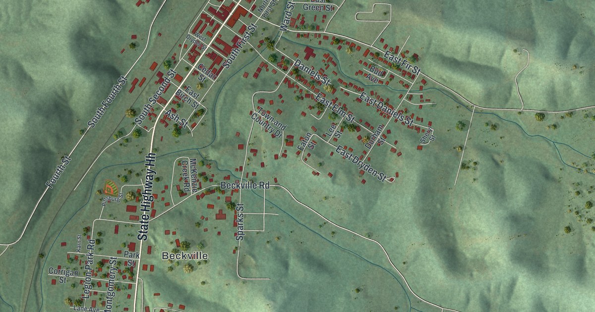
A detailed map of Piedmont, Missouri, showing every building in its true location, the roads by name, and shaded topographical relief.
Read More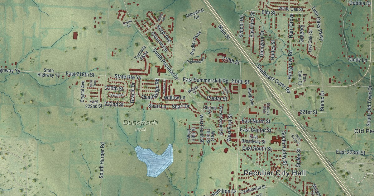
A detailed map of Peculiar, Missouri, showing every building in its true location, the roads by name, and shaded topographical relief.
Read More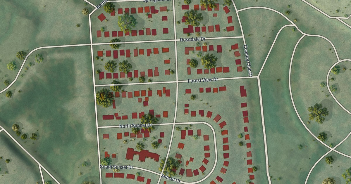
A detailed map of Pasadena Park, Missouri, showing every building in its true location, the roads by name, and shaded topographical relief.
Read More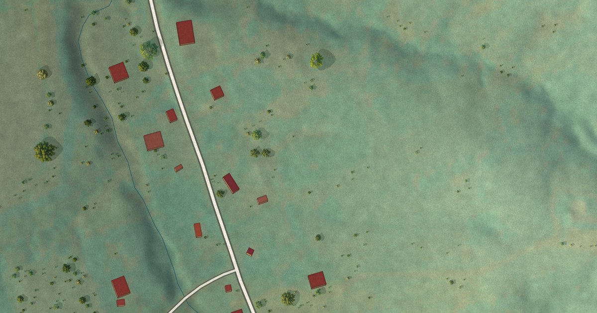
A detailed map of Paynesville, Missouri, showing every building in its true location, the roads by name, and shaded topographical relief.
Read More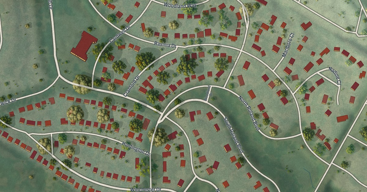
A detailed map of Pasadena Hills, Missouri, showing every building in its true location, the roads by name, and shaded topographical relief.
Read More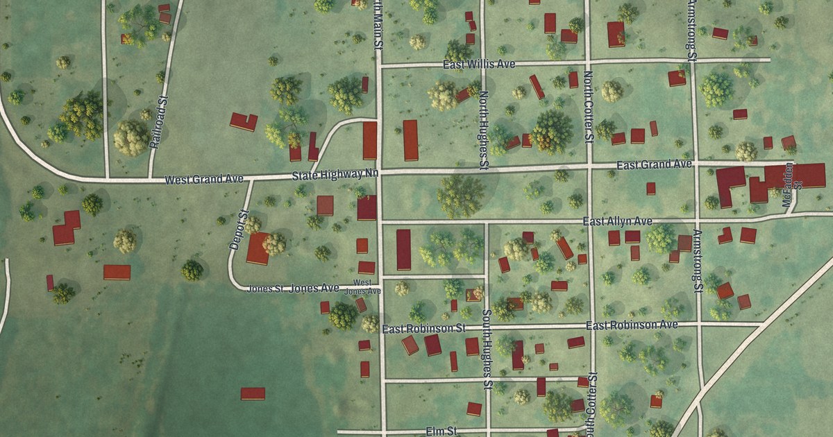
A detailed map of Parnell, Missouri, showing every building in its true location, the roads by name, and shaded topographical relief.
Read More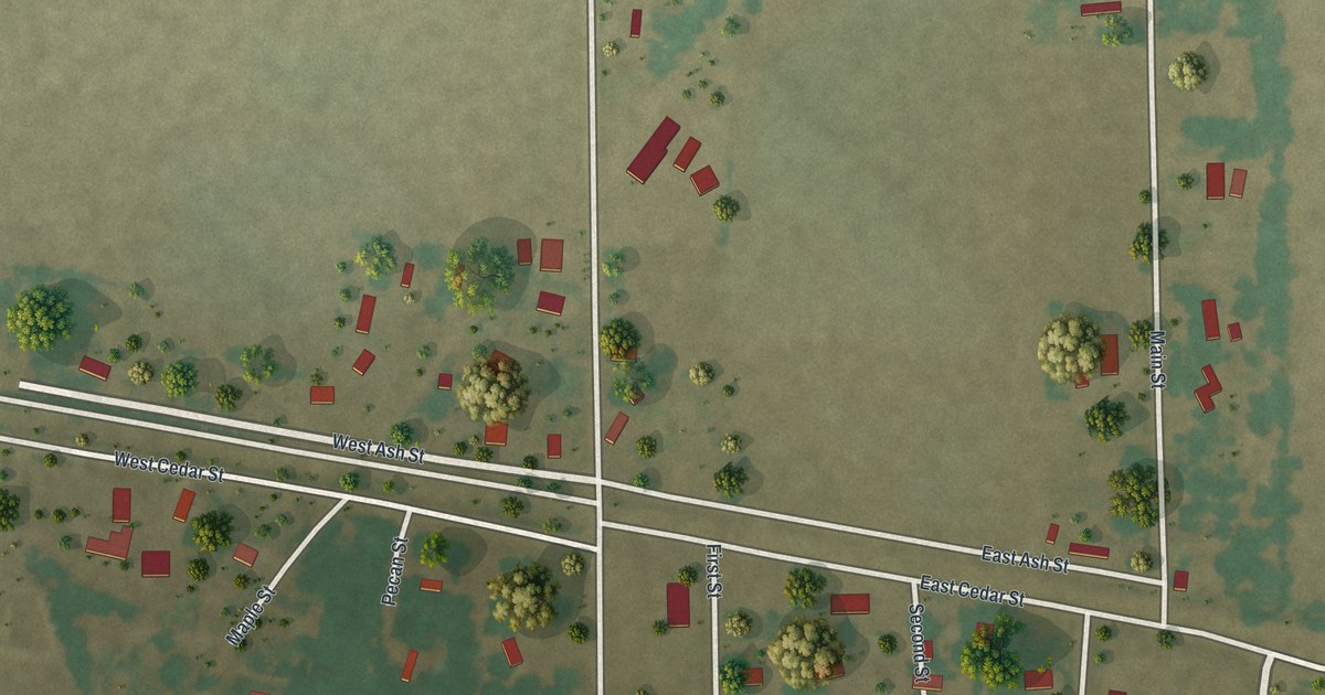
A detailed map of Pascola, Missouri, showing every building in its true location, the roads by name, and shaded topographical relief.
Read More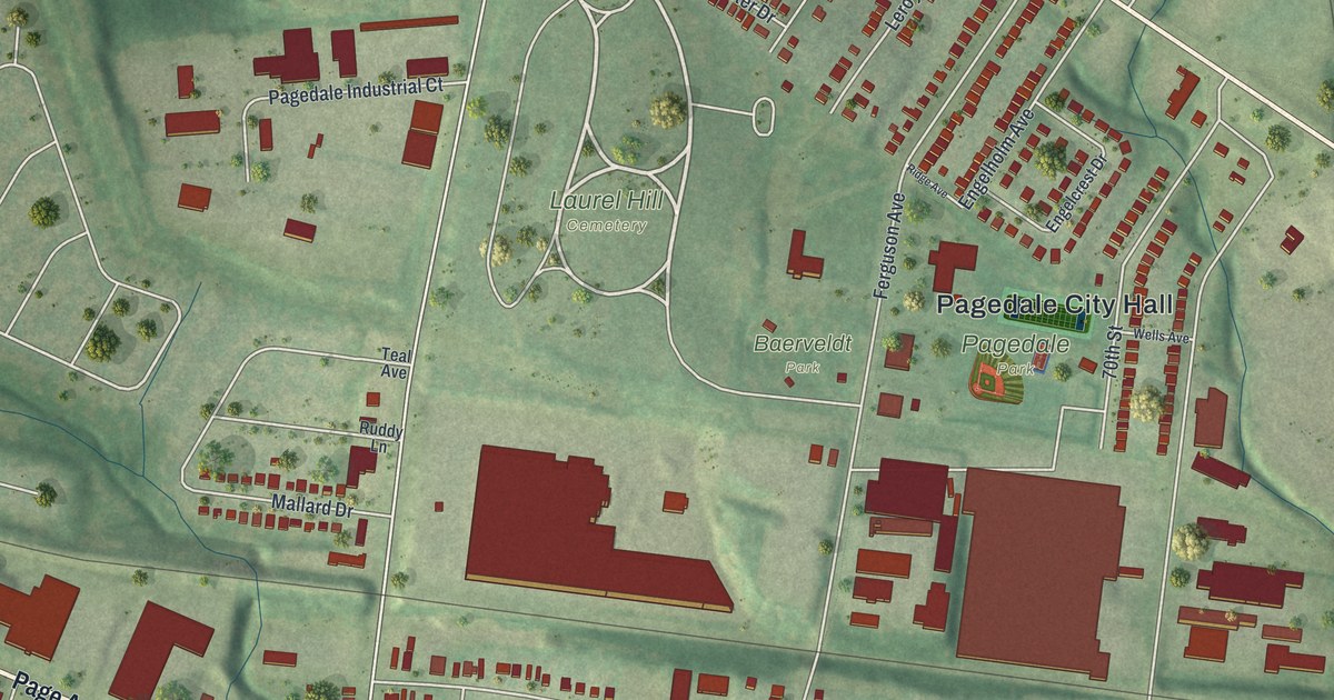
A detailed map of Pagedale, Missouri, showing every building in its true location, the roads by name, and shaded topographical relief.
Read More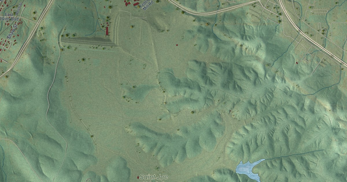
A detailed map of Park Hills, Missouri, showing every building in its true location, the roads by name, and shaded topographical relief.
Read More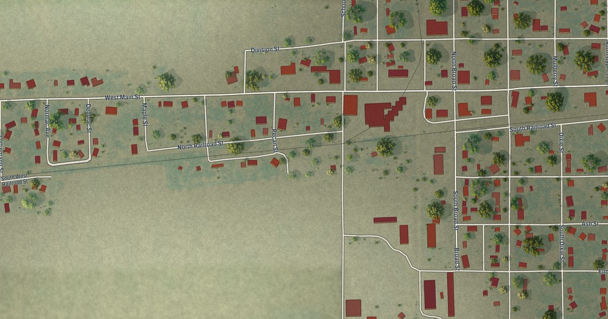
A detailed map of Parma, Missouri, showing every building in its true location, the roads by name, and shaded topographical relief.
Read More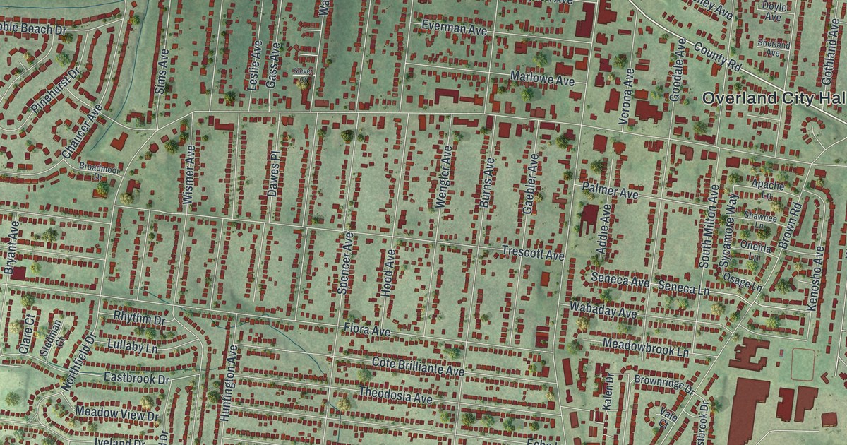
A detailed map of Overland, Missouri, showing every building in its true location, the roads by name, and shaded topographical relief.
Read More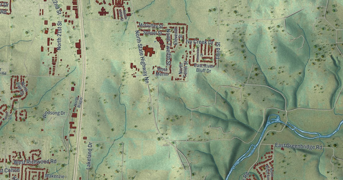
A detailed map of Ozark, Missouri, showing every building in its true location, the roads by name, and shaded topographical relief.
Read More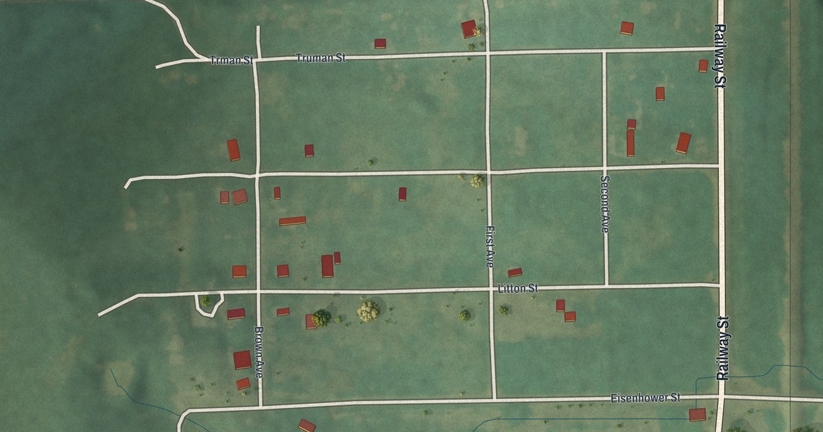
A detailed map of Osgood, Missouri, showing every building in its true location, the roads by name, and shaded topographical relief.
Read More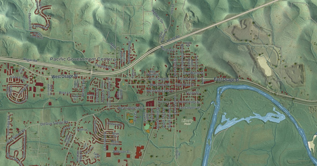
A detailed map of Pacific, Missouri, showing every building in its true location, the roads by name, and shaded topographical relief.
Read More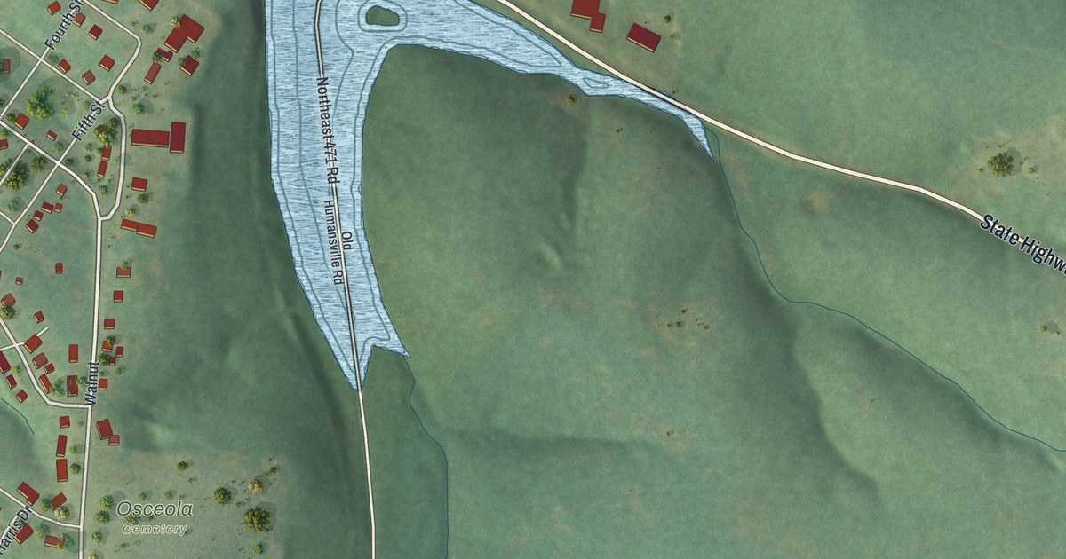
A detailed map of Osceola, Missouri, showing every building in its true location, the roads by name, and shaded topographical relief.
Read More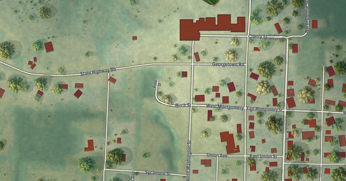
A detailed map of Otterville, Missouri, showing every building in its true location, the roads by name, and shaded topographical relief.
Read More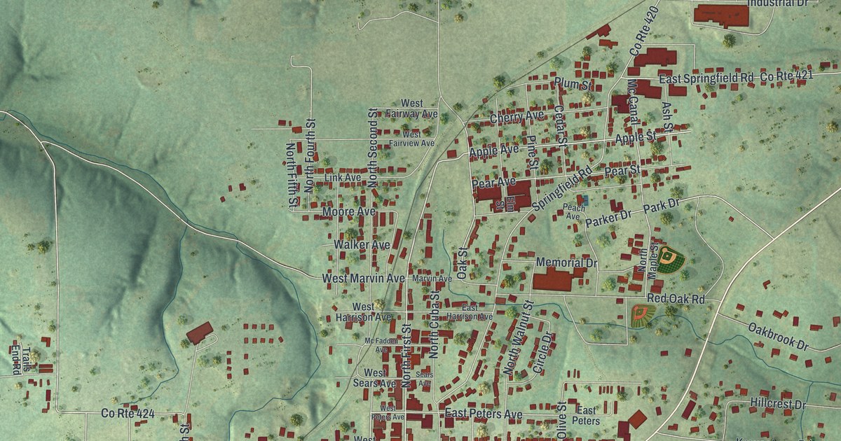
A detailed map of Owensville, Missouri, showing every building in its true location, the roads by name, and shaded topographical relief.
Read More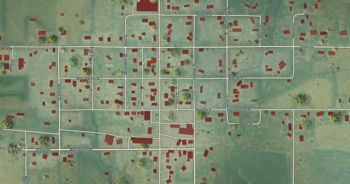
A detailed map of Osborn, Missouri, showing every building in its true location, the roads by name, and shaded topographical relief.
Read More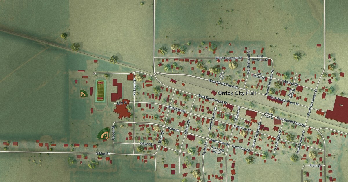
A detailed map of Orrick, Missouri, showing every building in its true location, the roads by name, and shaded topographical relief.
Read More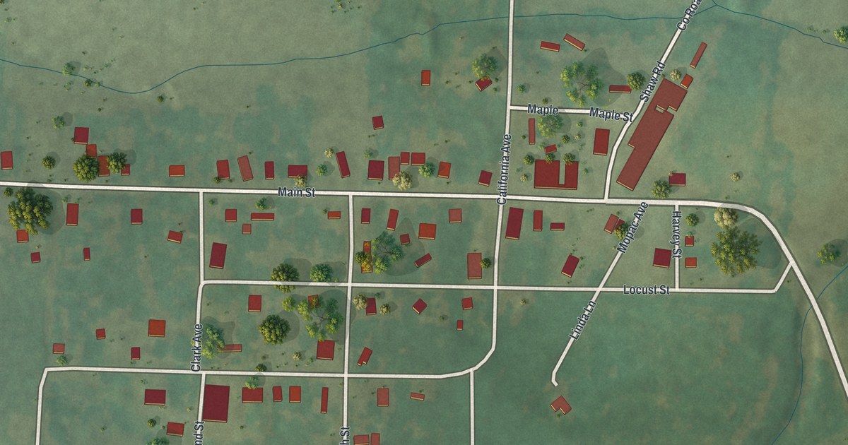
A detailed map of Olean, Missouri, showing every building in its true location, the roads by name, and shaded topographical relief.
Read More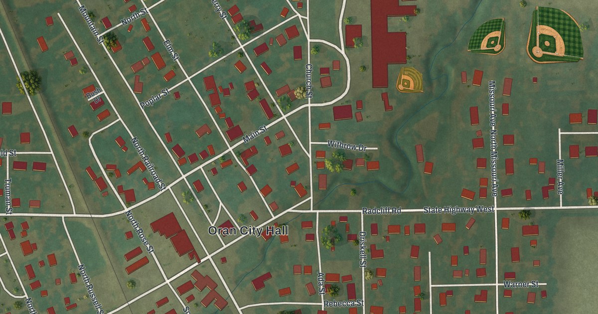
A detailed map of Oran, Missouri, showing every building in its true location, the roads by name, and shaded topographical relief.
Read More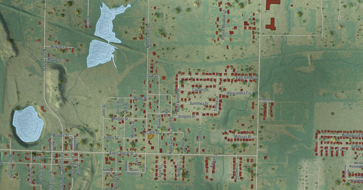
A detailed map of Oronogo, Missouri, showing every building in its true location, the roads by name, and shaded topographical relief.
Read More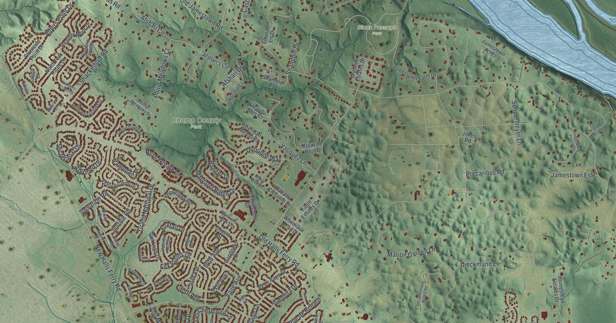
A detailed map of Old Jamestown, Missouri, showing every building in its true location, the roads by name, and shaded topographical relief.
Read More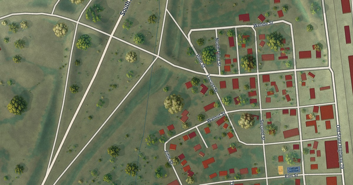
A detailed map of Old Monroe, Missouri, showing every building in its true location, the roads by name, and shaded topographical relief.
Read More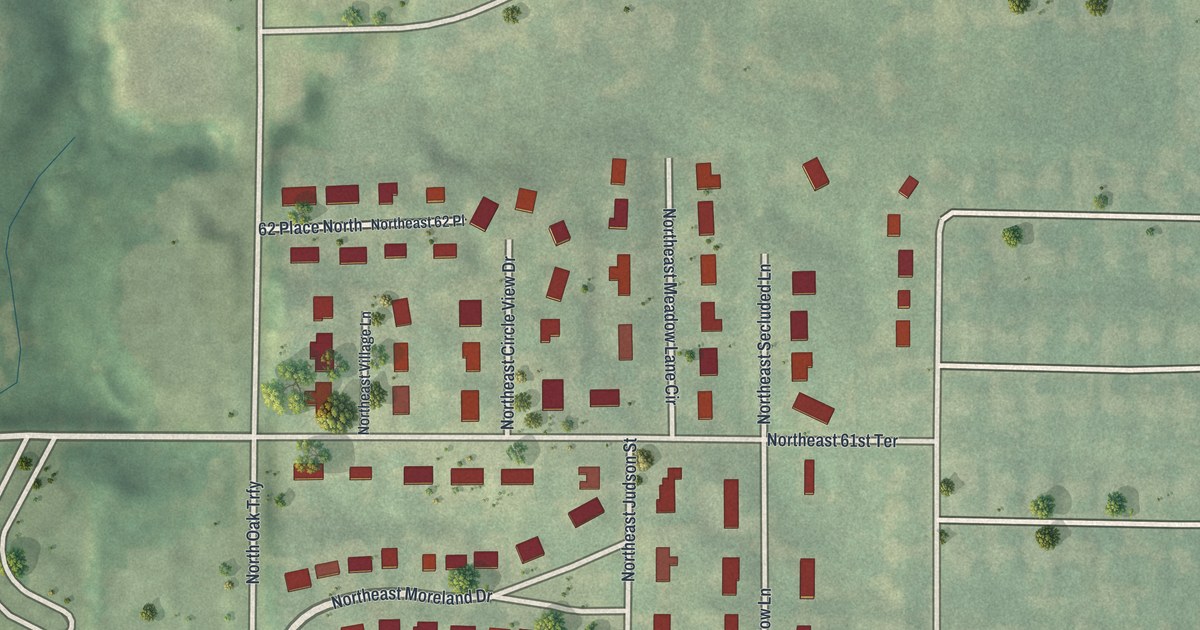
A detailed map of Oakwood Park, Missouri, showing every building in its true location, the roads by name, and shaded topographical relief.
Read More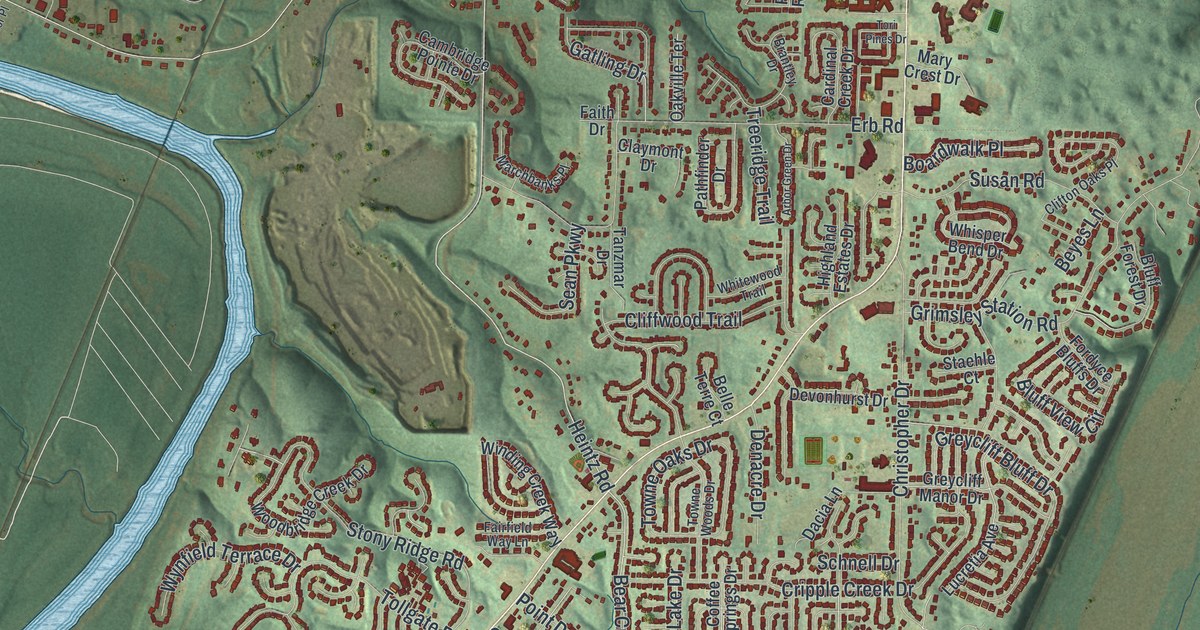
A detailed map of Oakville, Missouri, showing every building in its true location, the roads by name, and shaded topographical relief.
Read More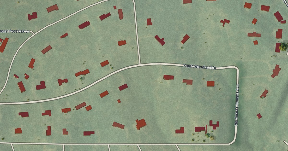
A detailed map of Oakwood, Missouri, showing every building in its true location, the roads by name, and shaded topographical relief.
Read More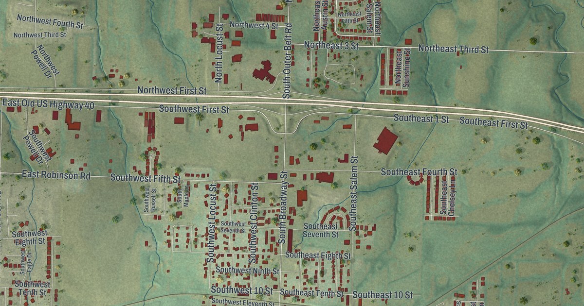
A detailed map of Oak Grove, Missouri, showing every building in its true location, the roads by name, and shaded topographical relief.
Read More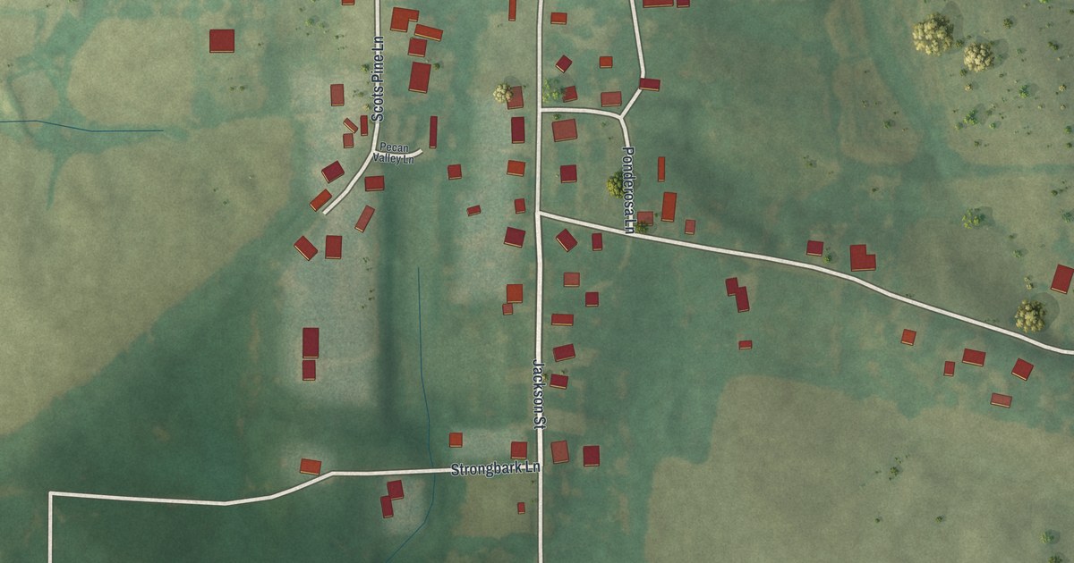
A detailed map of Oak Ridge, Missouri, showing every building in its true location, the roads by name, and shaded topographical relief.
Read More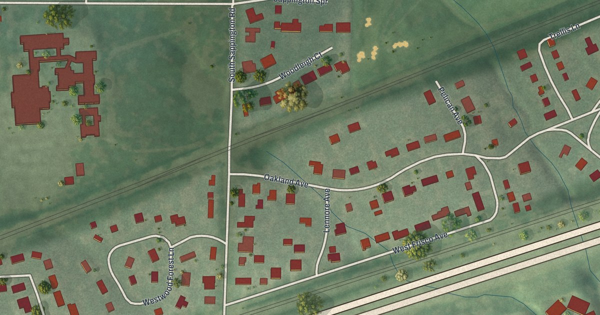
A detailed map of Oakland, Missouri, showing every building in its true location, the roads by name, and shaded topographical relief.
Read More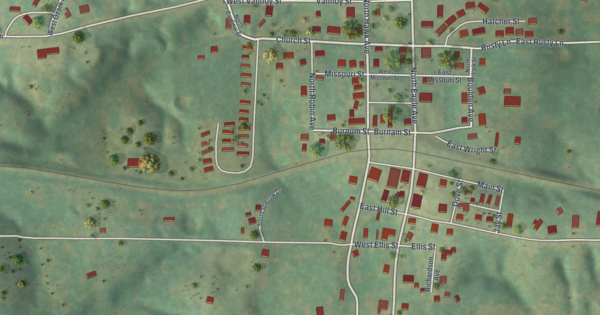
A detailed map of Norwood, Missouri, showing every building in its true location, the roads by name, and shaded topographical relief.
Read More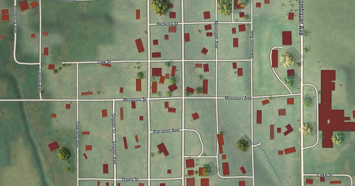
A detailed map of Novinger, Missouri, showing every building in its true location, the roads by name, and shaded topographical relief.
Read More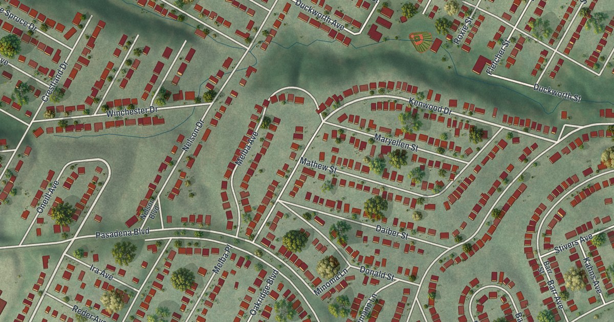
A detailed map of Northwoods, Missouri, showing every building in its true location, the roads by name, and shaded topographical relief.
Read More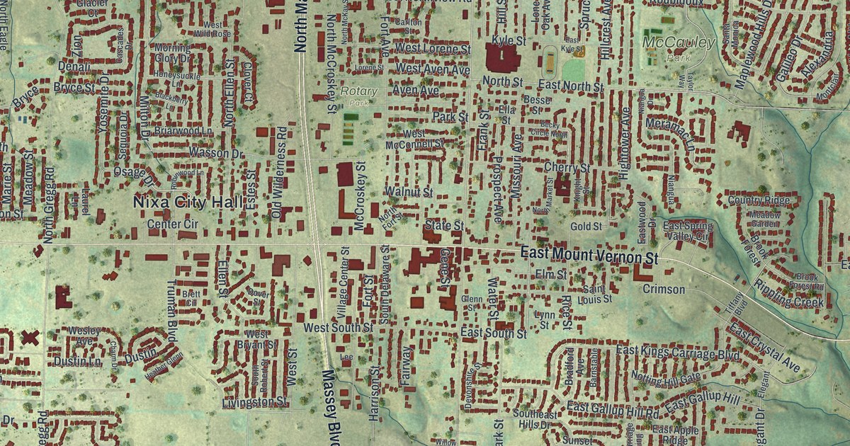
A detailed map of Nixa, Missouri, showing every building in its true location, the roads by name, and shaded topographical relief.
Read More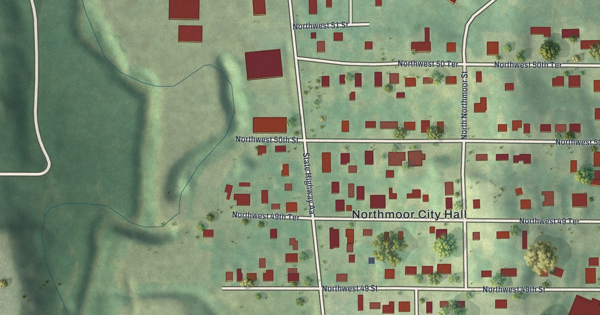
A detailed map of Northmoor, Missouri, showing every building in its true location, the roads by name, and shaded topographical relief.
Read More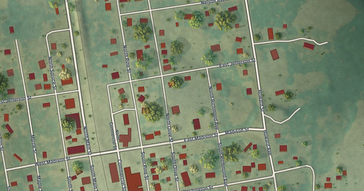
A detailed map of Niangua, Missouri, showing every building in its true location, the roads by name, and shaded topographical relief.
Read More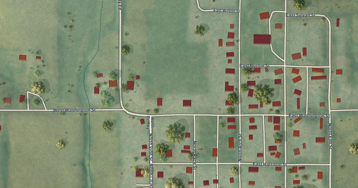
A detailed map of New Hampton, Missouri, showing every building in its true location, the roads by name, and shaded topographical relief.
Read More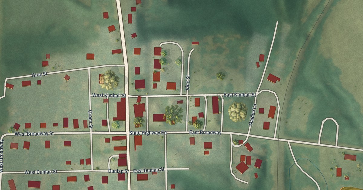
A detailed map of Newtown, Missouri, showing every building in its true location, the roads by name, and shaded topographical relief.
Read More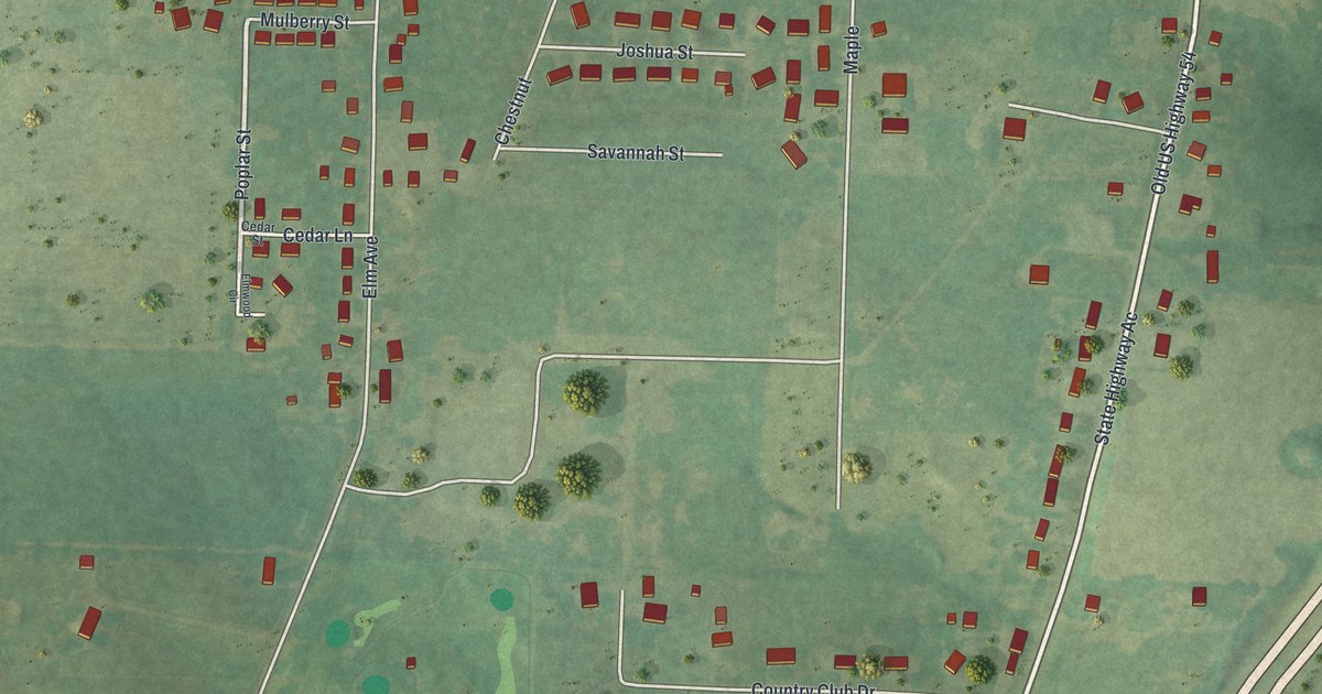
A detailed map of New Bloomfield, Missouri, showing every building in its true location, the roads by name, and shaded topographical relief.
Read More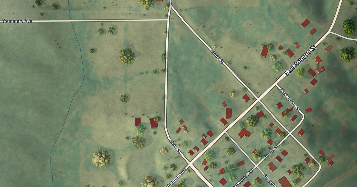
A detailed map of New Cambria, Missouri, showing every building in its true location, the roads by name, and shaded topographical relief.
Read More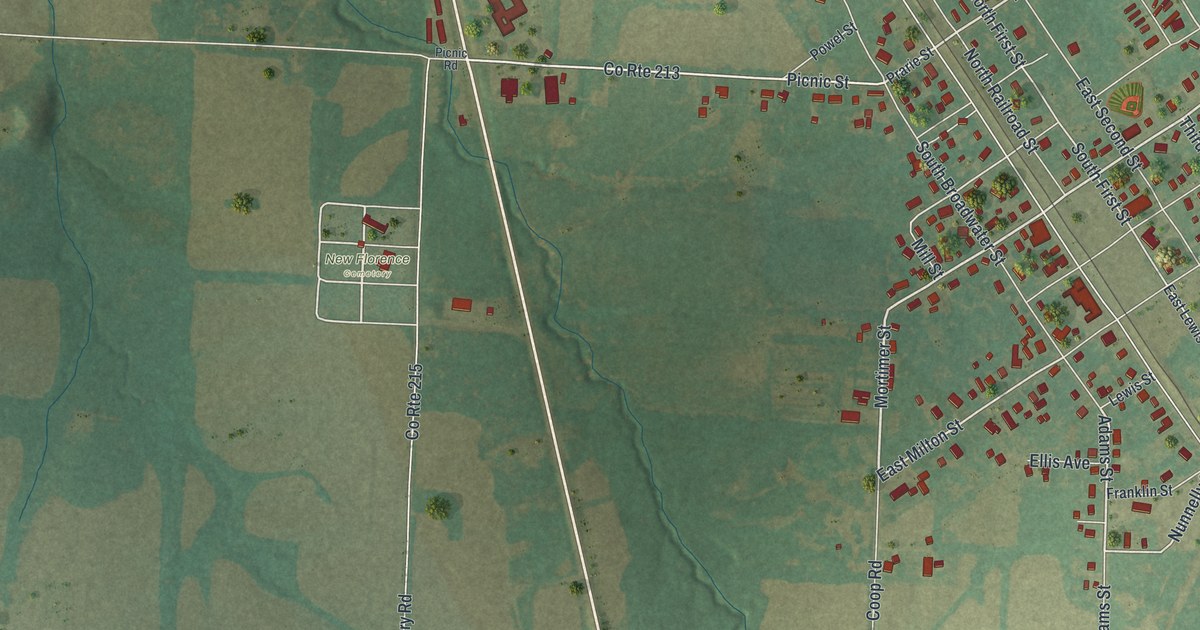
A detailed map of New Florence, Missouri, showing every building in its true location, the roads by name, and shaded topographical relief.
Read More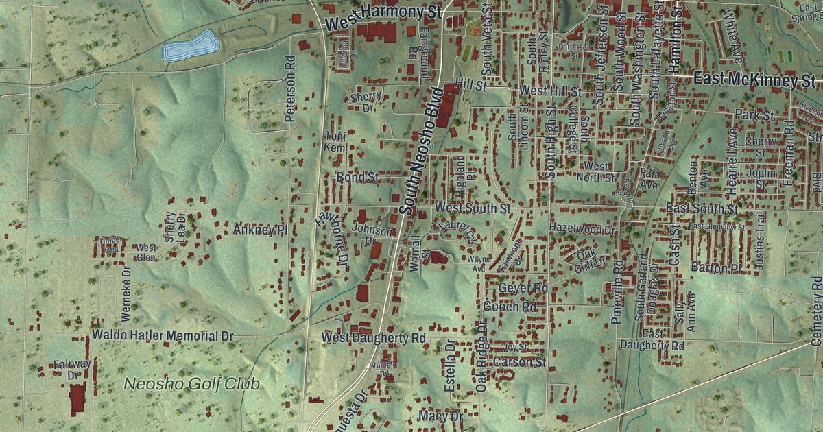
A detailed map of Neosho, Missouri, showing every building in its true location, the roads by name, and shaded topographical relief.
Read More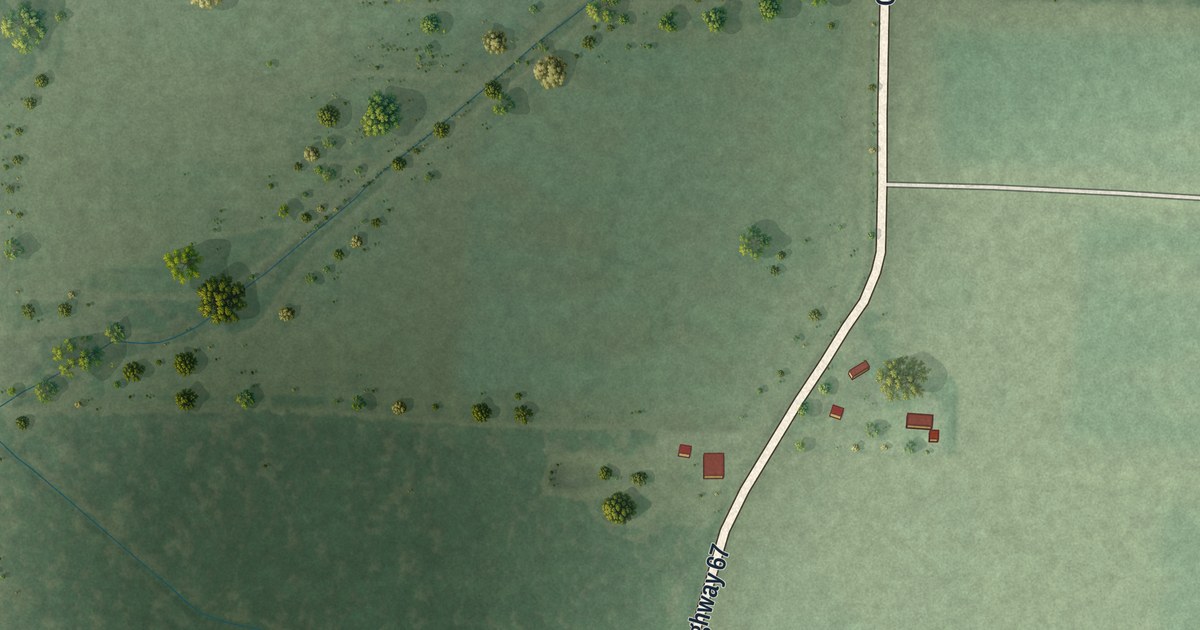
A detailed map of Neelyville, Missouri, showing every building in its true location, the roads by name, and shaded topographical relief.
Read More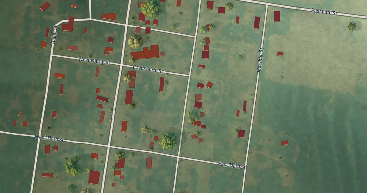
A detailed map of Nelson, Missouri, showing every building in its true location, the roads by name, and shaded topographical relief.
Read More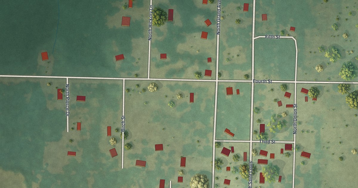
A detailed map of Neck City, Missouri, showing every building in its true location, the roads by name, and shaded topographical relief.
Read More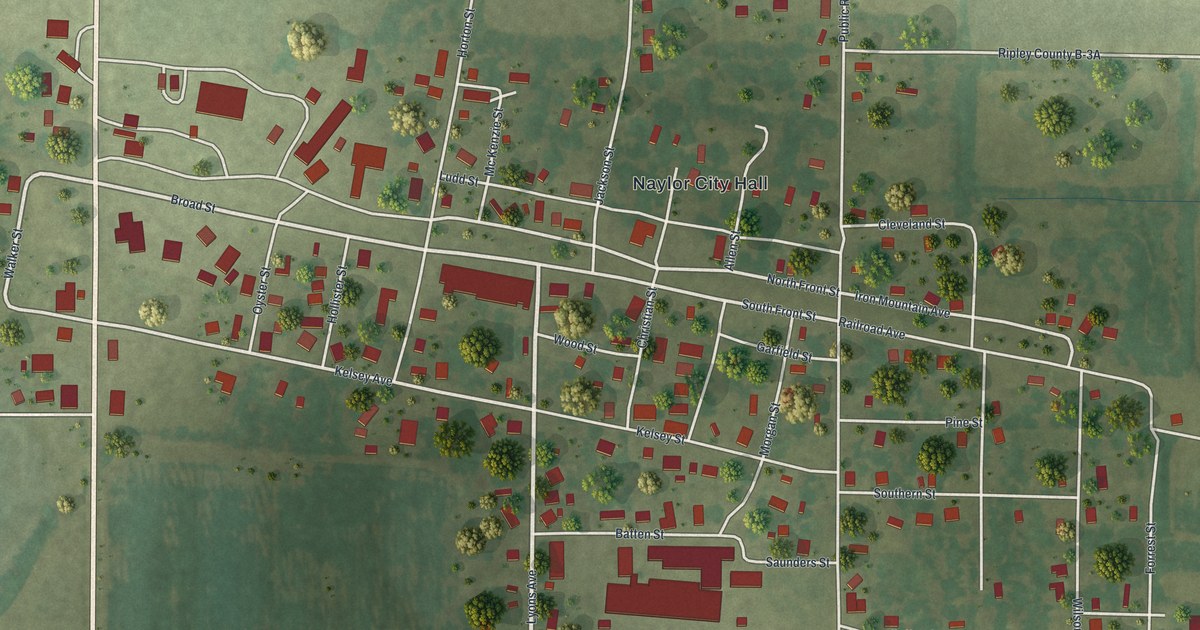
A detailed map of Naylor, Missouri, showing every building in its true location, the roads by name, and shaded topographical relief.
Read More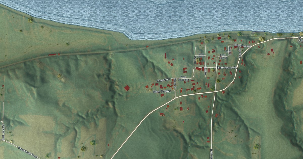
A detailed map of Napoleon, Missouri, showing every building in its true location, the roads by name, and shaded topographical relief.
Read More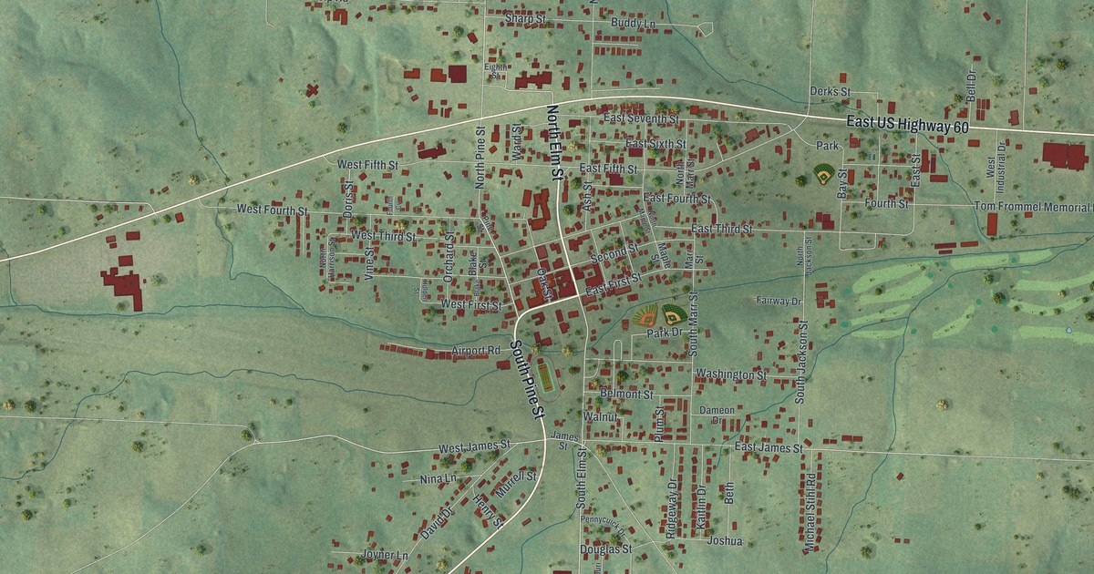
A detailed map of Mountain View, Missouri, showing every building in its true location, the roads by name, and shaded topographical relief.
Read More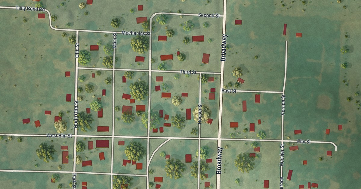
A detailed map of Moundville, Missouri, showing every building in its true location, the roads by name, and shaded topographical relief.
Read More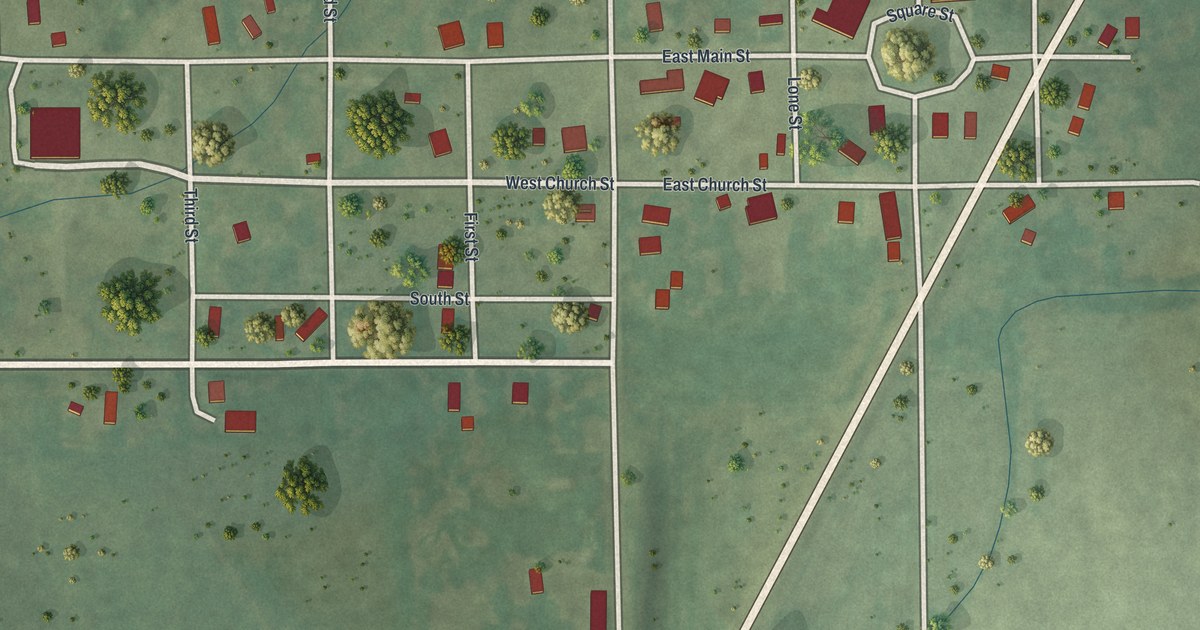
A detailed map of Mount Moriah, Missouri, showing every building in its true location, the roads by name, and shaded topographical relief.
Read More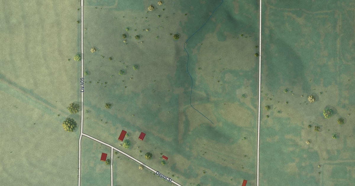
A detailed map of Mooresville, Missouri, showing every building in its true location, the roads by name, and shaded topographical relief.
Read More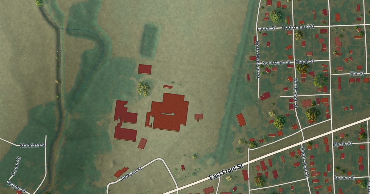
A detailed map of Morehouse, Missouri, showing every building in its true location, the roads by name, and shaded topographical relief.
Read More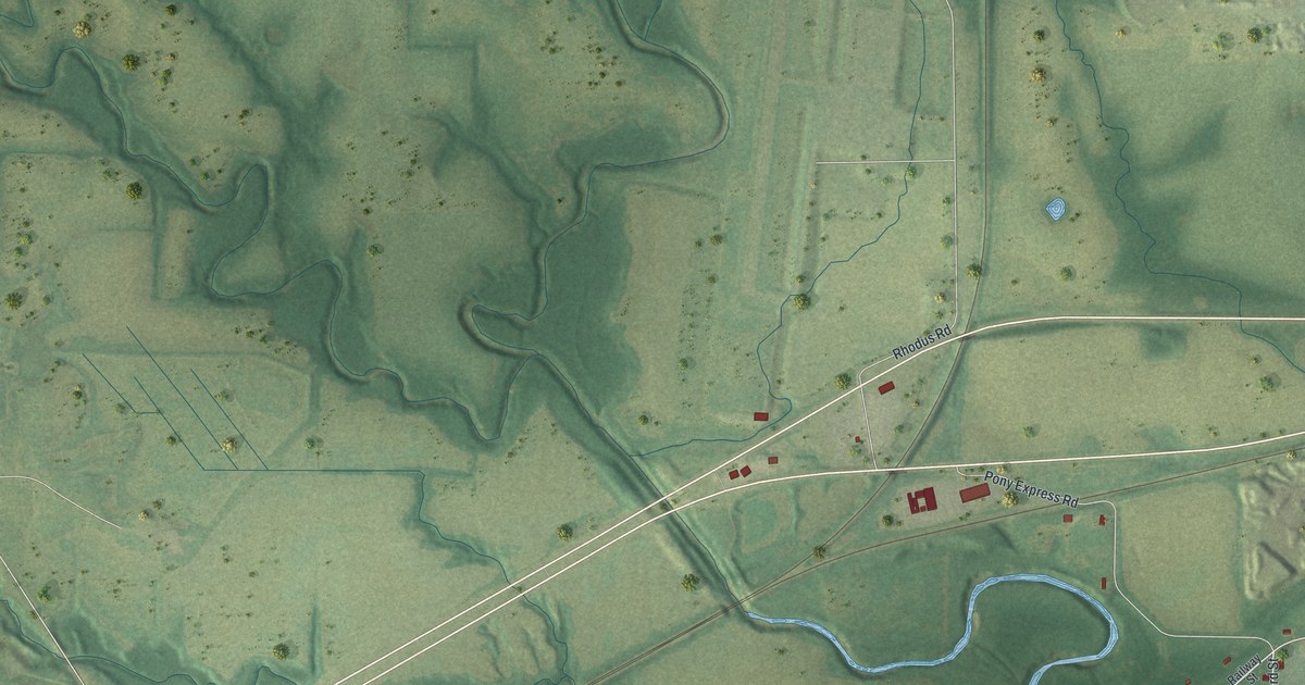
A detailed map of Mosby, Missouri, showing every building in its true location, the roads by name, and shaded topographical relief.
Read More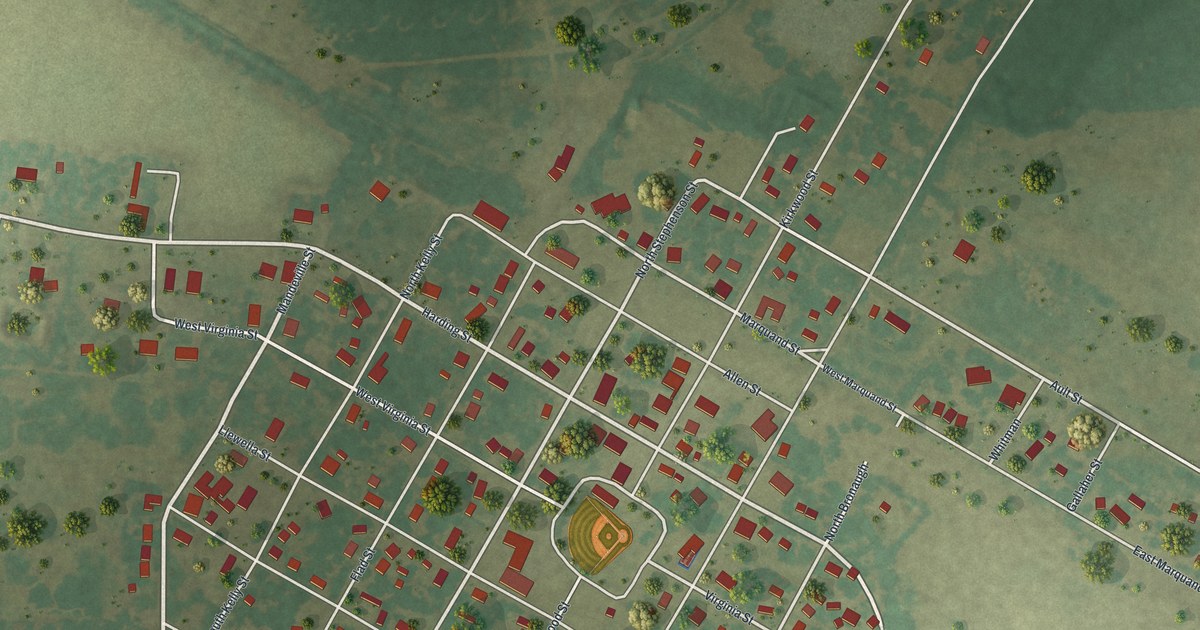
A detailed map of Morley, Missouri, showing every building in its true location, the roads by name, and shaded topographical relief.
Read More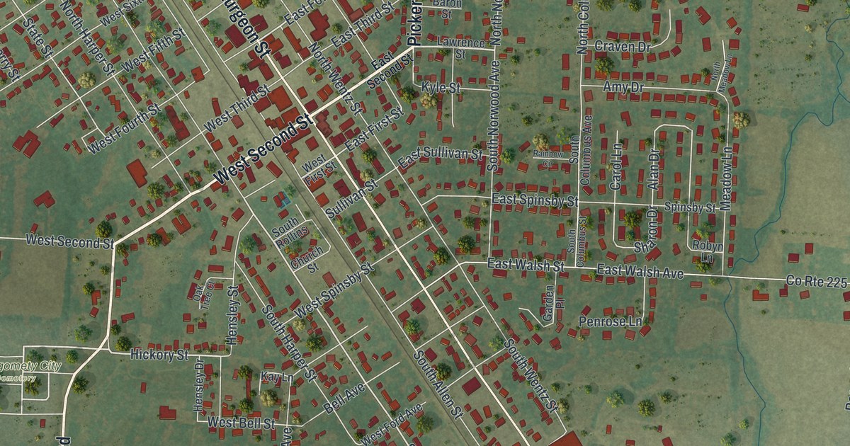
A detailed map of Montgomery City, Missouri, showing every building in its true location, the roads by name, and shaded topographical relief.
Read More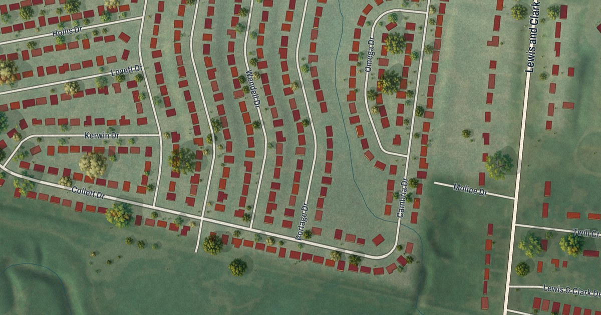
A detailed map of Moline Acres, Missouri, showing every building in its true location, the roads by name, and shaded topographical relief.
Read More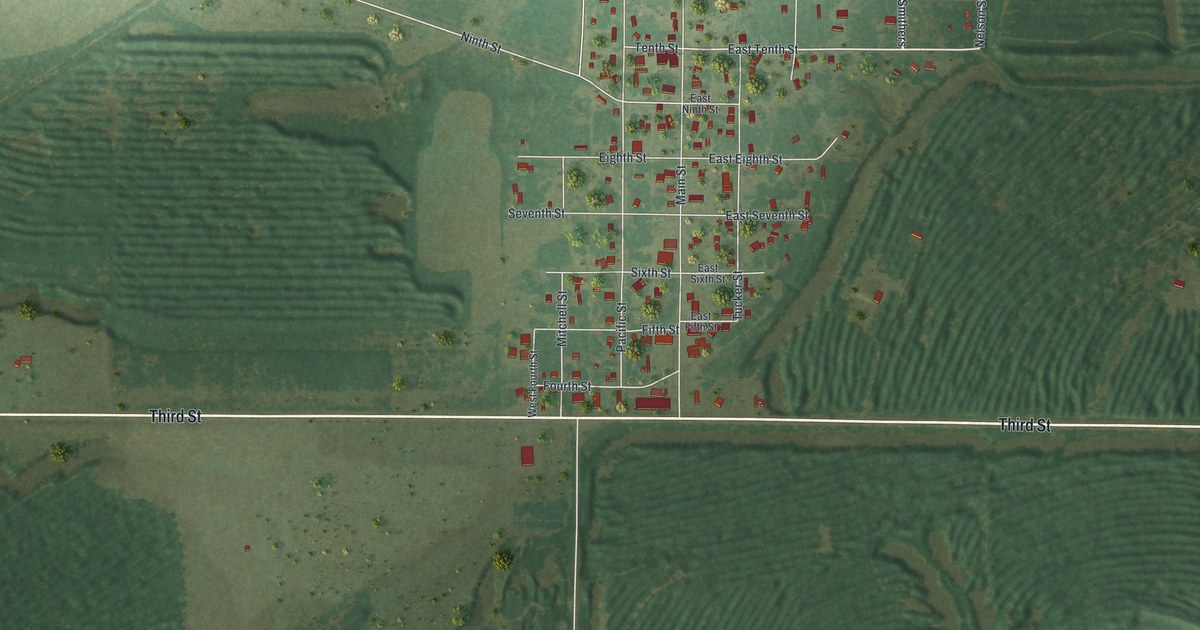
A detailed map of Mindenmines, Missouri, showing every building in its true location, the roads by name, and shaded topographical relief.
Read More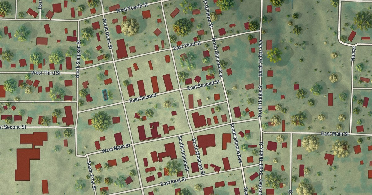
A detailed map of Miller, Missouri, showing every building in its true location, the roads by name, and shaded topographical relief.
Read More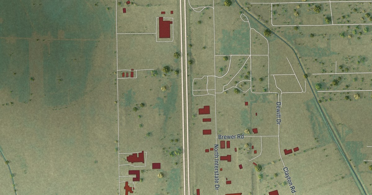
A detailed map of Miner, Missouri, showing every building in its true location, the roads by name, and shaded topographical relief.
Read More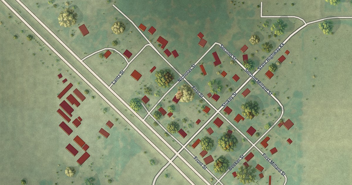
A detailed map of Millard, Missouri, showing every building in its true location, the roads by name, and shaded topographical relief.
Read More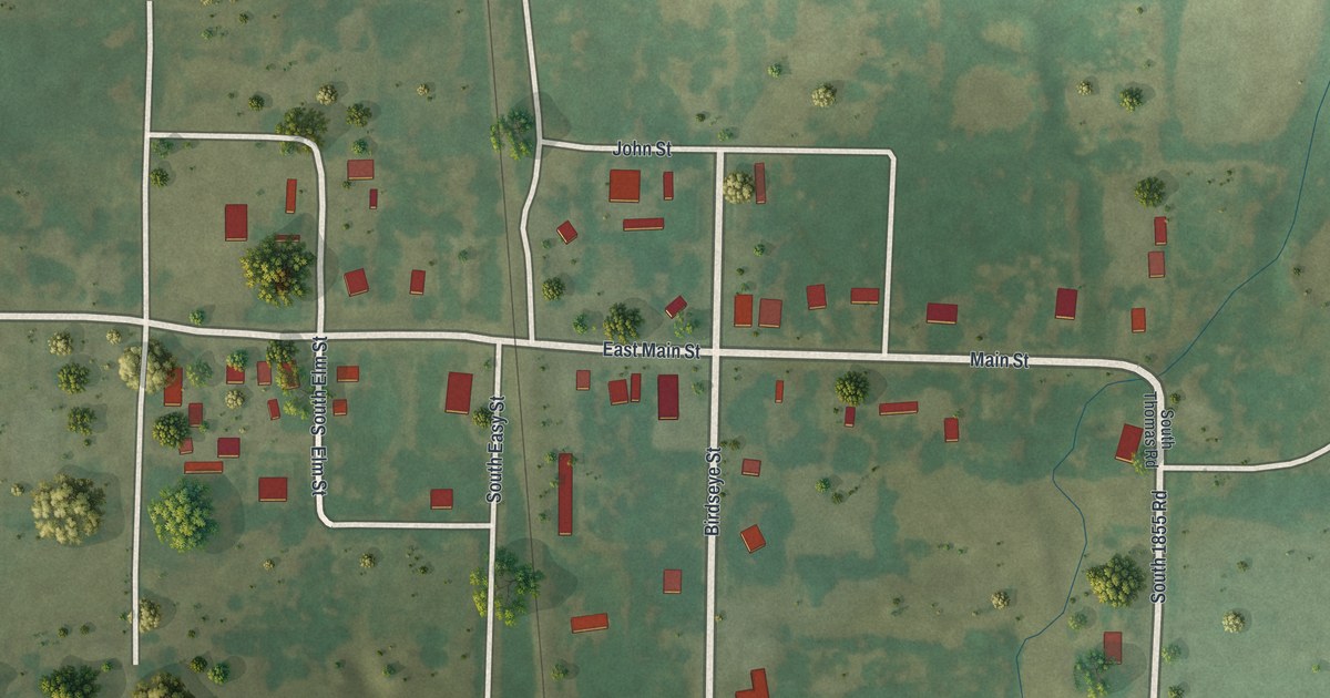
A detailed map of Milo, Missouri, showing every building in its true location, the roads by name, and shaded topographical relief.
Read More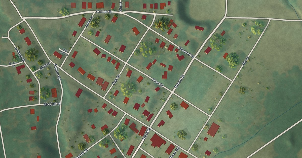
A detailed map of Mokane, Missouri, showing every building in its true location, the roads by name, and shaded topographical relief.
Read More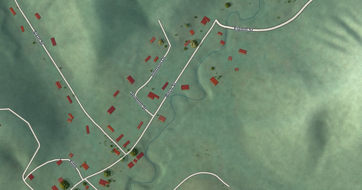
A detailed map of Mill Spring, Missouri, showing every building in its true location, the roads by name, and shaded topographical relief.
Read More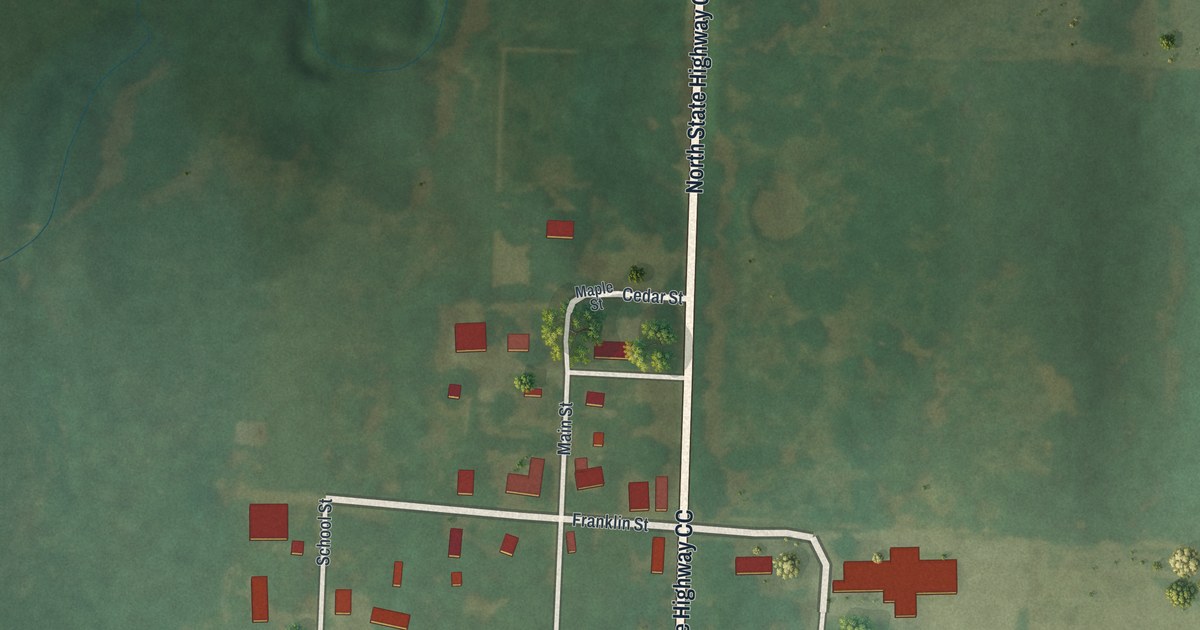
A detailed map of Milford, Missouri, showing every building in its true location, the roads by name, and shaded topographical relief.
Read More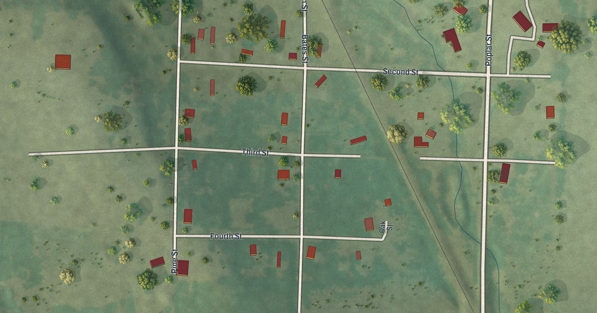
A detailed map of Merwin, Missouri, showing every building in its true location, the roads by name, and shaded topographical relief.
Read More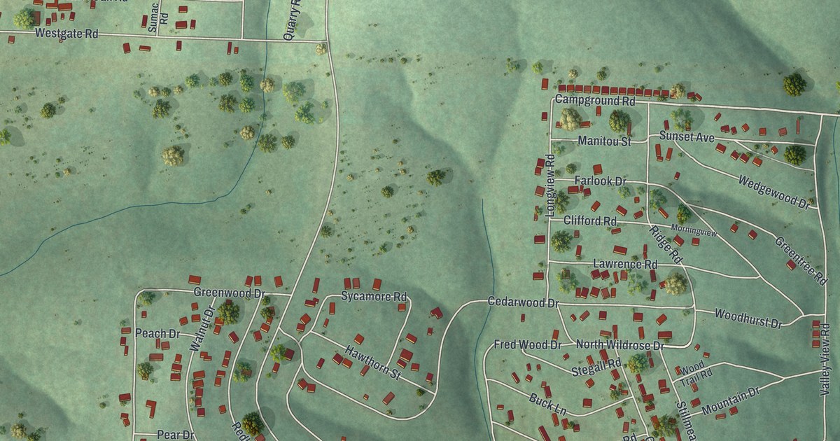
A detailed map of Merriam Woods, Missouri, showing every building in its true location, the roads by name, and shaded topographical relief.
Read More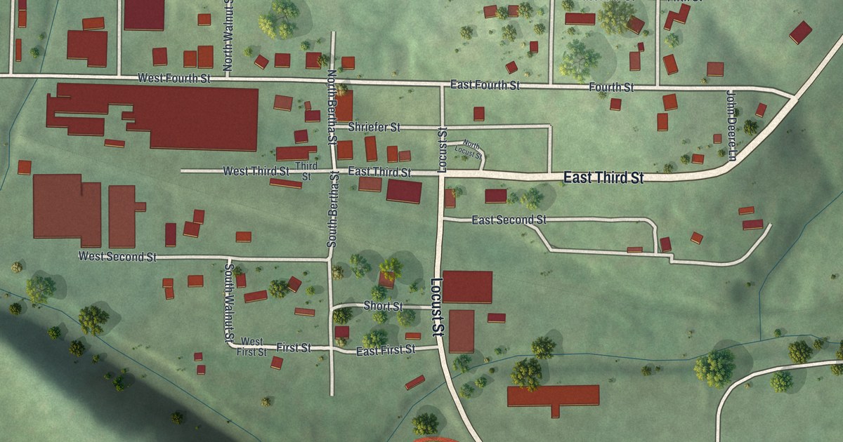
A detailed map of Meta, Missouri, showing every building in its true location, the roads by name, and shaded topographical relief.
Read More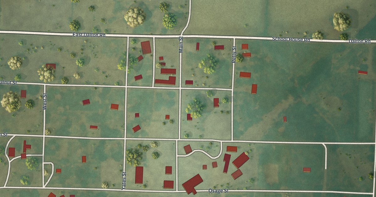
A detailed map of Metz, Missouri, showing every building in its true location, the roads by name, and shaded topographical relief.
Read More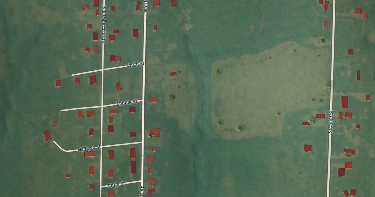
A detailed map of Middletown, Missouri, showing every building in its true location, the roads by name, and shaded topographical relief.
Read More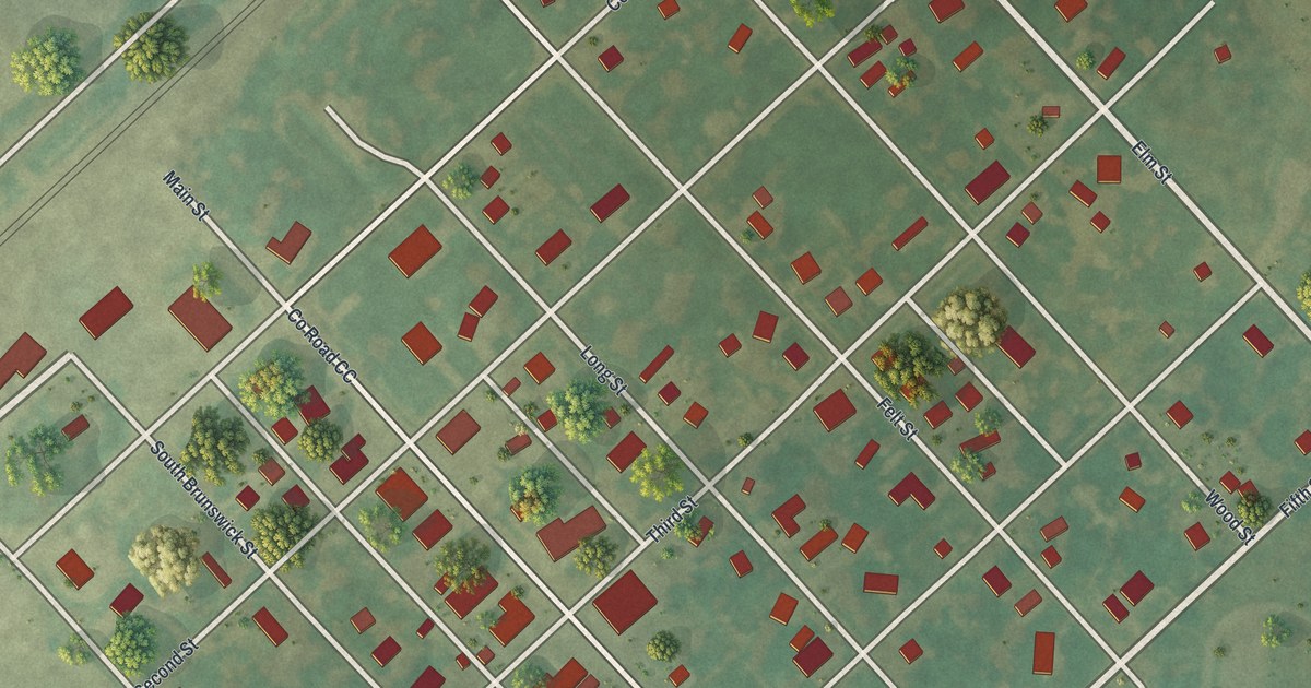
A detailed map of Mendon, Missouri, showing every building in its true location, the roads by name, and shaded topographical relief.
Read More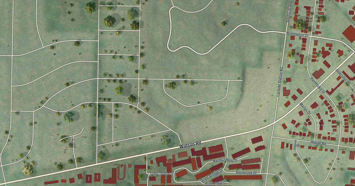
A detailed map of Marlborough, Missouri, showing every building in its true location, the roads by name, and shaded topographical relief.
Read More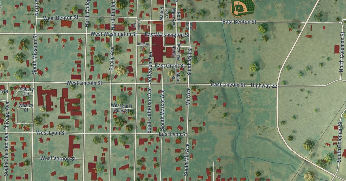
A detailed map of Marionville, Missouri, showing every building in its true location, the roads by name, and shaded topographical relief.
Read More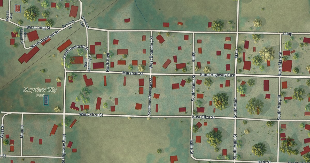
A detailed map of Mayview, Missouri, showing every building in its true location, the roads by name, and shaded topographical relief.
Read More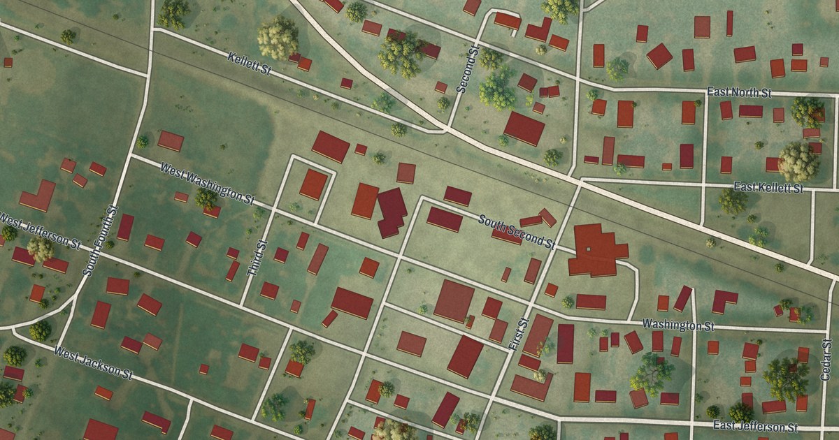
A detailed map of Martinsburg, Missouri, showing every building in its true location, the roads by name, and shaded topographical relief.
Read More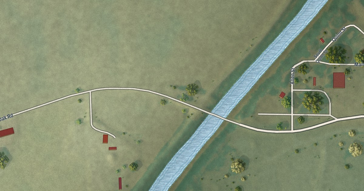
A detailed map of McBaine, Missouri, showing every building in its true location, the roads by name, and shaded topographical relief.
Read More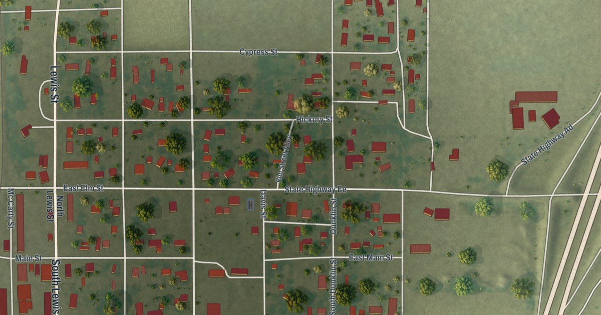
A detailed map of Marston, Missouri, showing every building in its true location, the roads by name, and shaded topographical relief.
Read More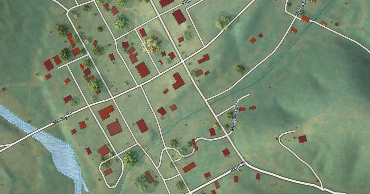
A detailed map of Marquand, Missouri, showing every building in its true location, the roads by name, and shaded topographical relief.
Read More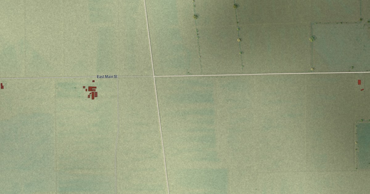
A detailed map of Matthews, Missouri, showing every building in its true location, the roads by name, and shaded topographical relief.
Read More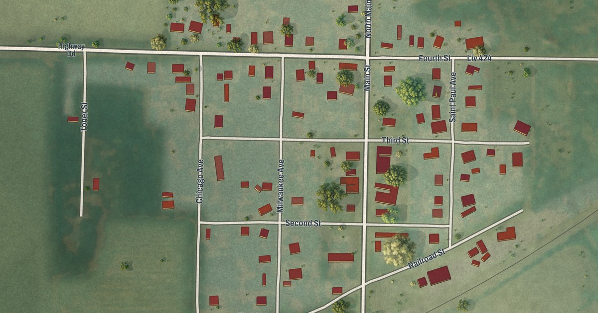
A detailed map of Ludlow, Missouri, showing every building in its true location, the roads by name, and shaded topographical relief.
Read More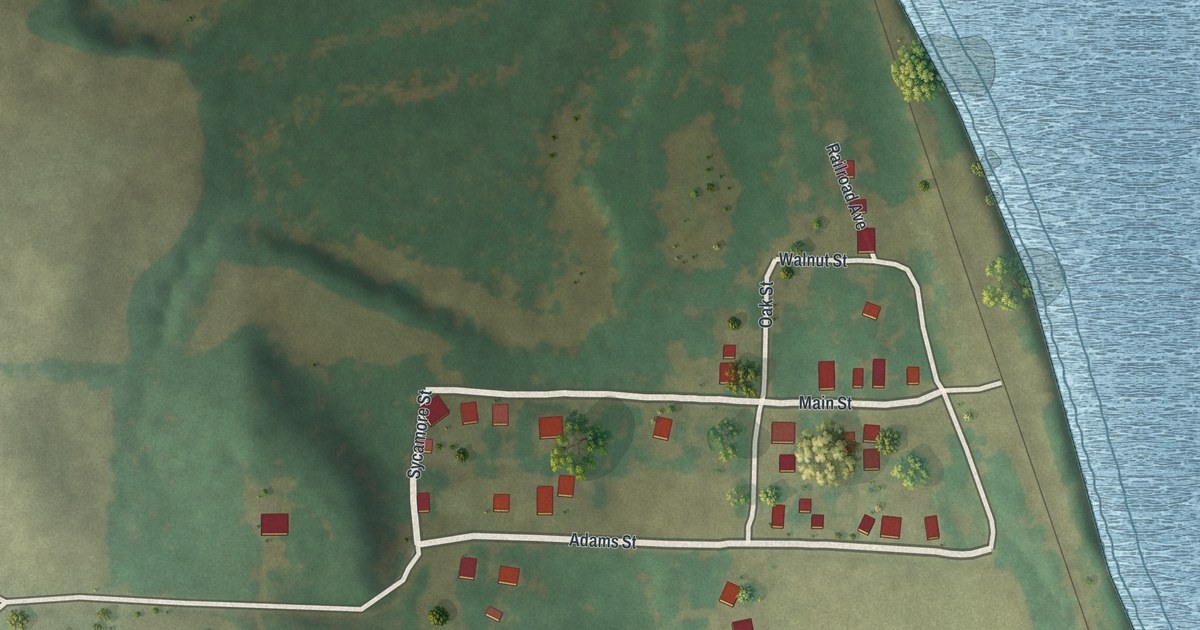
A detailed map of Lupus, Missouri, showing every building in its true location, the roads by name, and shaded topographical relief.
Read More