Detailed Map of Lucerne, Missouri
A detailed map of Lucerne, Missouri, showing every building in its true location, the roads by name, and shaded topographical relief.
Read More
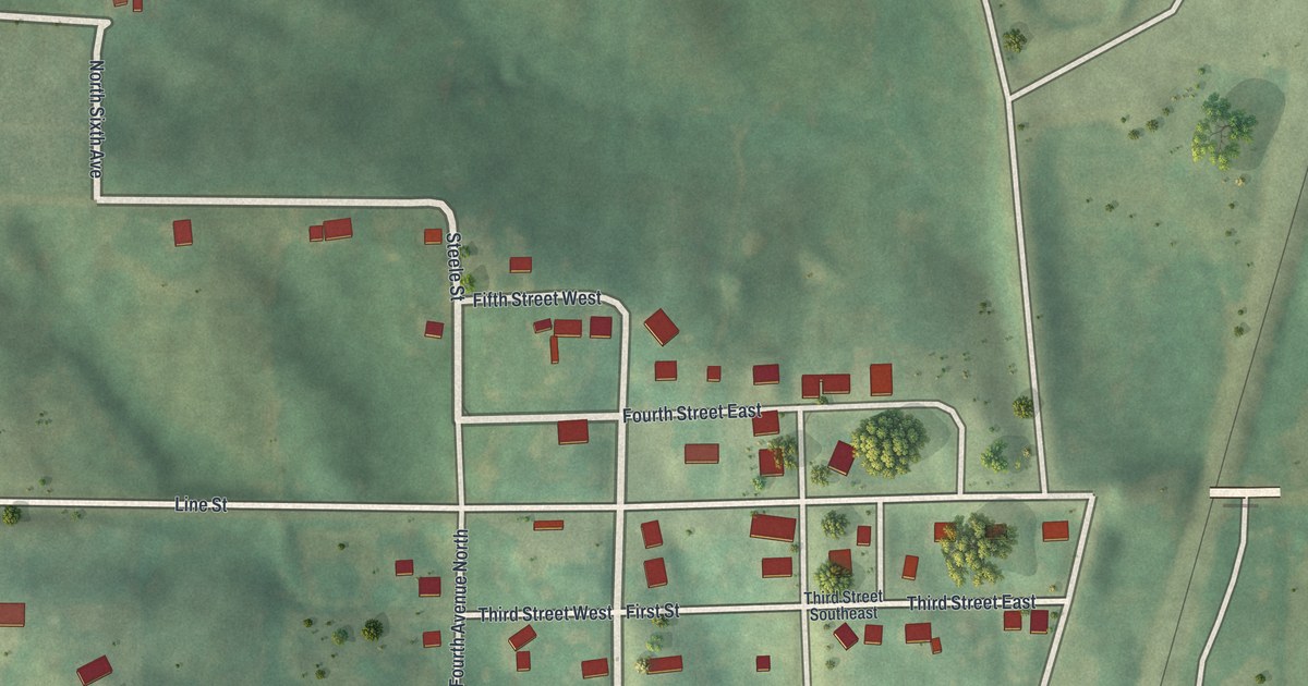
A detailed map of Lucerne, Missouri, showing every building in its true location, the roads by name, and shaded topographical relief.
Read More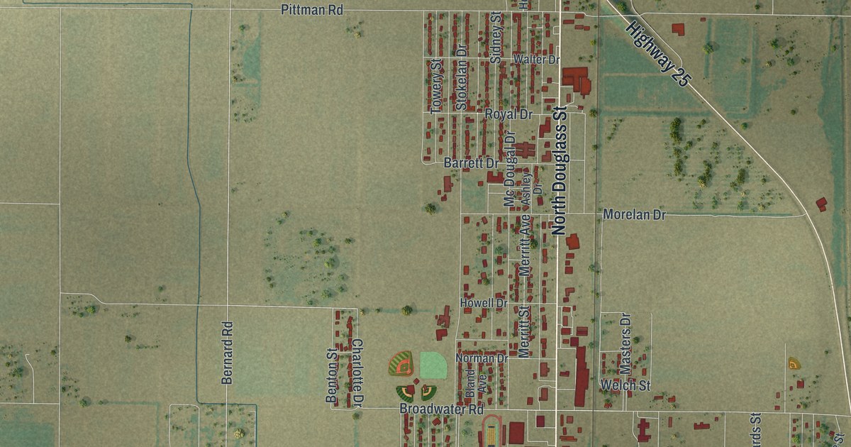
A detailed map of Malden, Missouri, showing every building in its true location, the roads by name, and shaded topographical relief.
Read More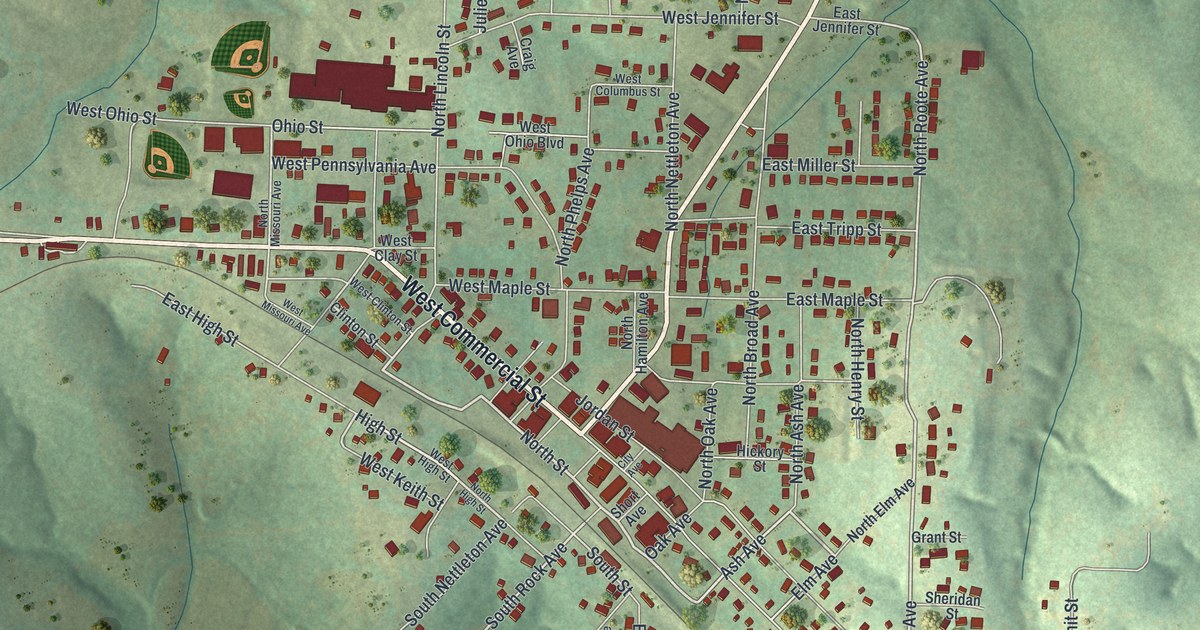
A detailed map of Mansfield, Missouri, showing every building in its true location, the roads by name, and shaded topographical relief.
Read More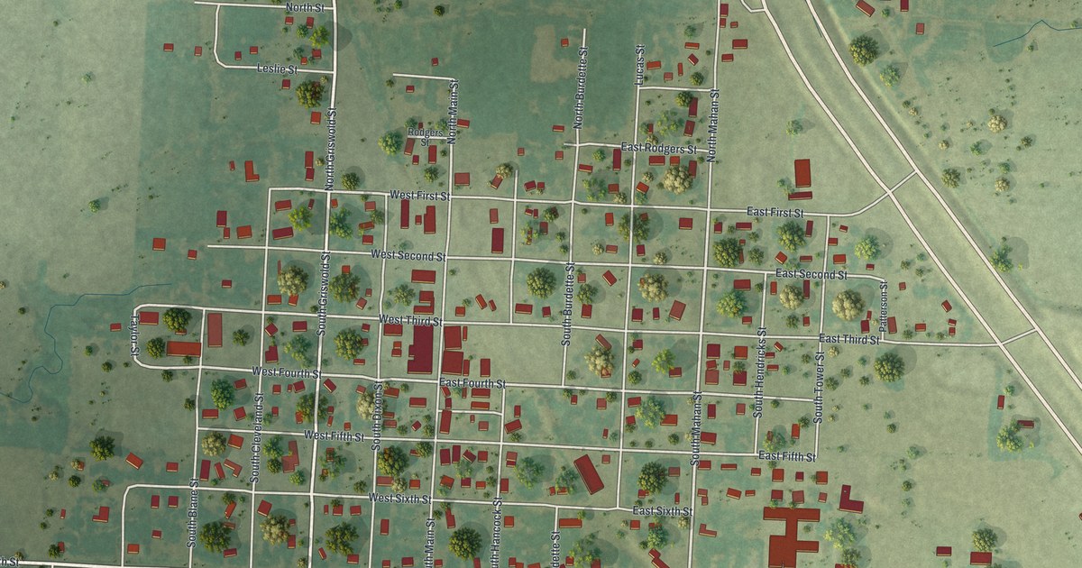
A detailed map of Lowry City, Missouri, showing every building in its true location, the roads by name, and shaded topographical relief.
Read More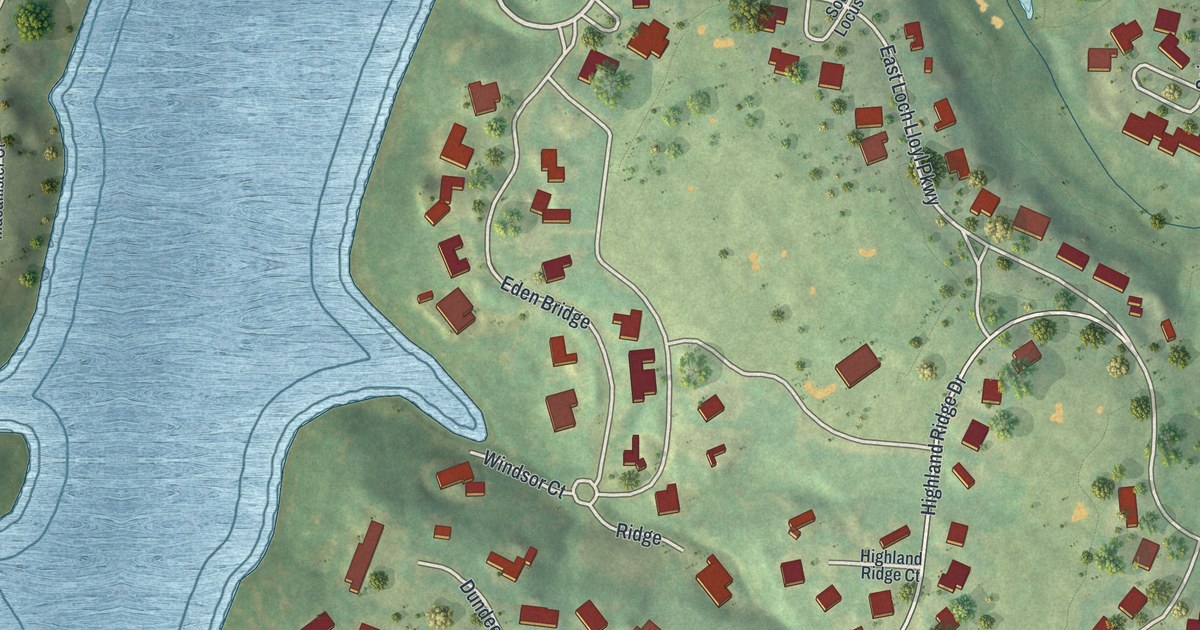
A detailed map of Loch Lloyd, Missouri, showing every building in its true location, the roads by name, and shaded topographical relief.
Read More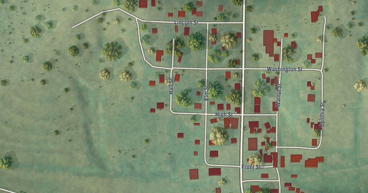
A detailed map of Lohman, Missouri, showing every building in its true location, the roads by name, and shaded topographical relief.
Read More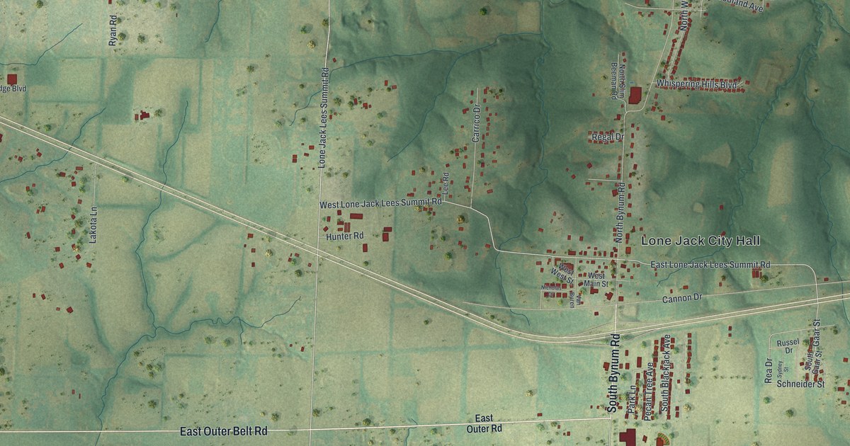
A detailed map of Lone Jack, Missouri, showing every building in its true location, the roads by name, and shaded topographical relief.
Read More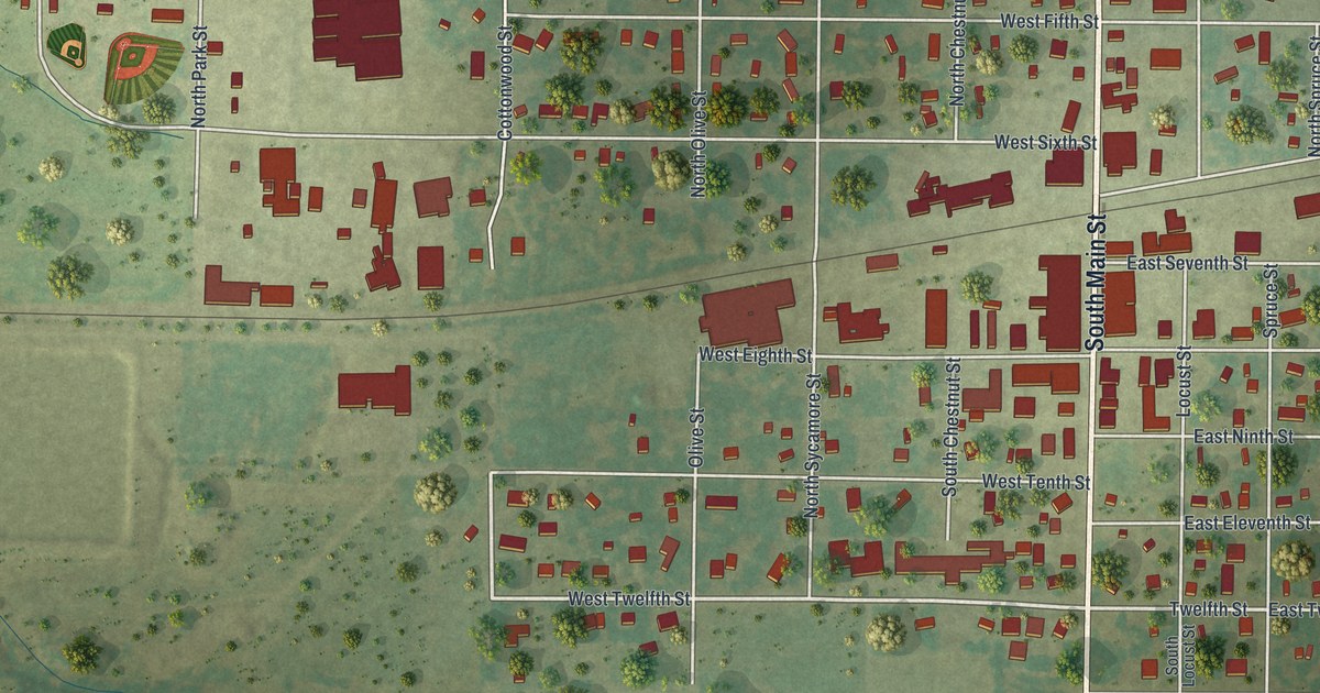
A detailed map of Lockwood, Missouri, showing every building in its true location, the roads by name, and shaded topographical relief.
Read More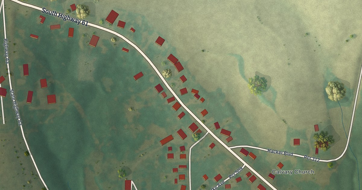
A detailed map of Longtown, Missouri, showing every building in its true location, the roads by name, and shaded topographical relief.
Read More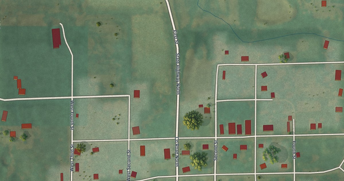
A detailed map of Livonia, Missouri, showing every building in its true location, the roads by name, and shaded topographical relief.
Read More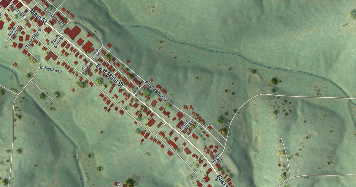
A detailed map of Linn, Missouri, showing every building in its true location, the roads by name, and shaded topographical relief.
Read More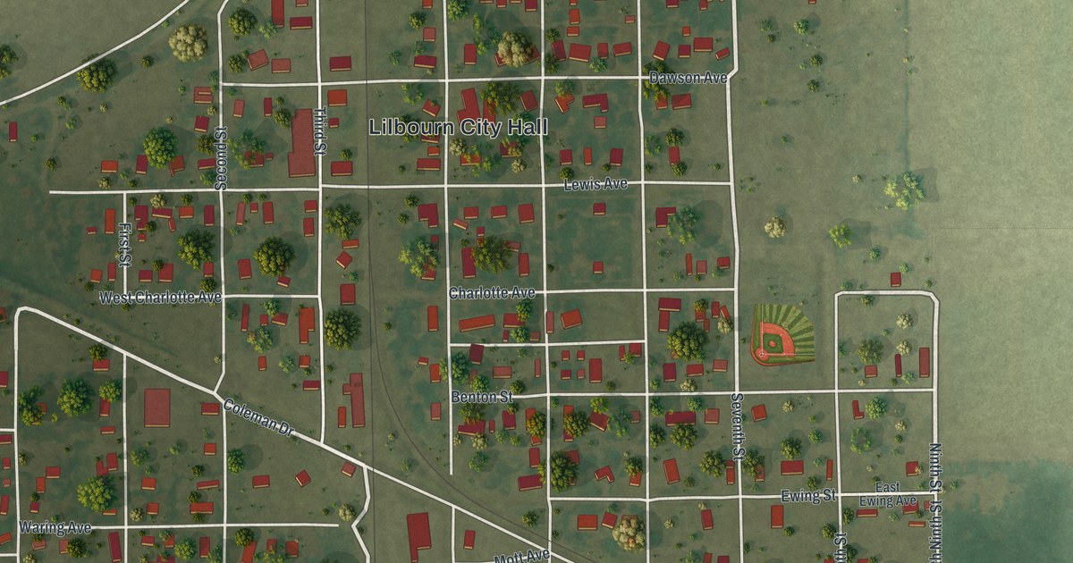
A detailed map of Lilbourn, Missouri, showing every building in its true location, the roads by name, and shaded topographical relief.
Read More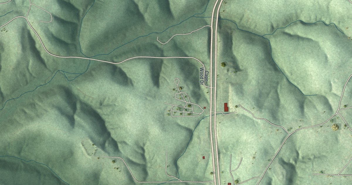
A detailed map of Linn Creek, Missouri, showing every building in its true location, the roads by name, and shaded topographical relief.
Read More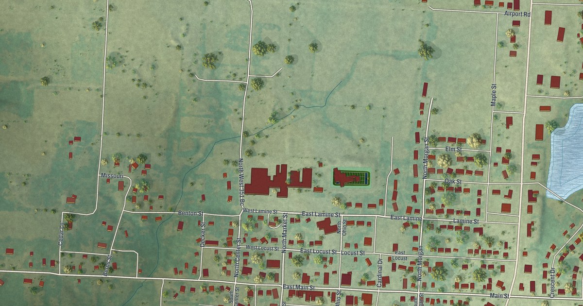
A detailed map of Lincoln, Missouri, showing every building in its true location, the roads by name, and shaded topographical relief.
Read More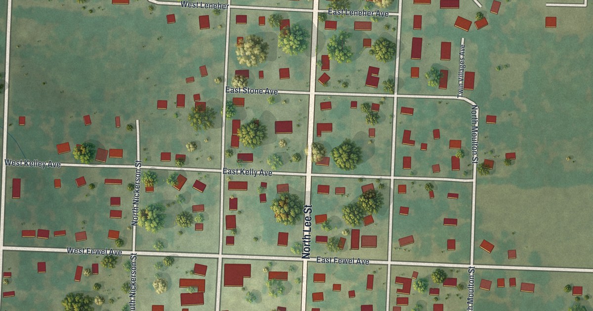
A detailed map of Leeton, Missouri, showing every building in its true location, the roads by name, and shaded topographical relief.
Read More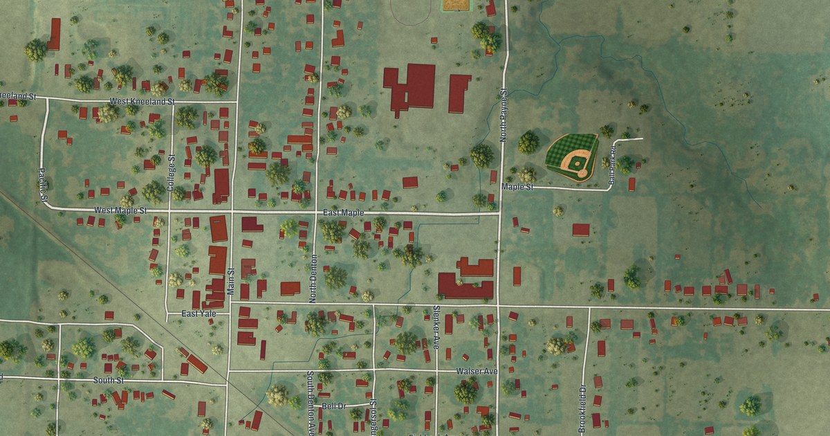
A detailed map of Liberal, Missouri, showing every building in its true location, the roads by name, and shaded topographical relief.
Read More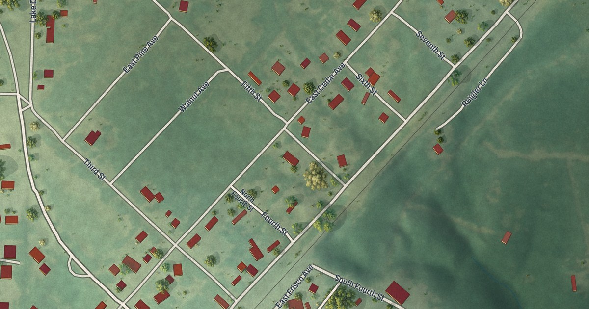
A detailed map of Leasburg, Missouri, showing every building in its true location, the roads by name, and shaded topographical relief.
Read More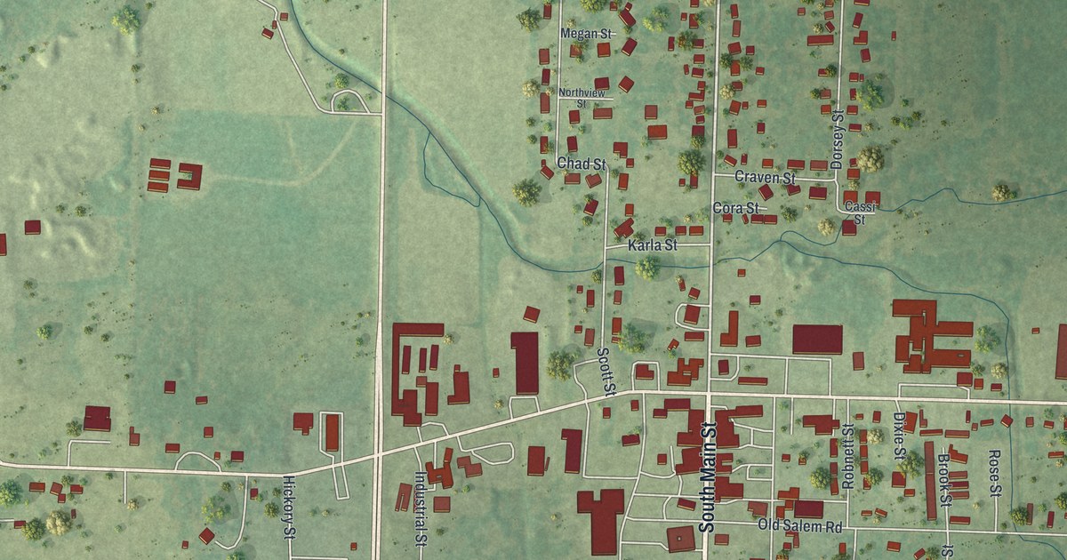
A detailed map of Licking, Missouri, showing every building in its true location, the roads by name, and shaded topographical relief.
Read More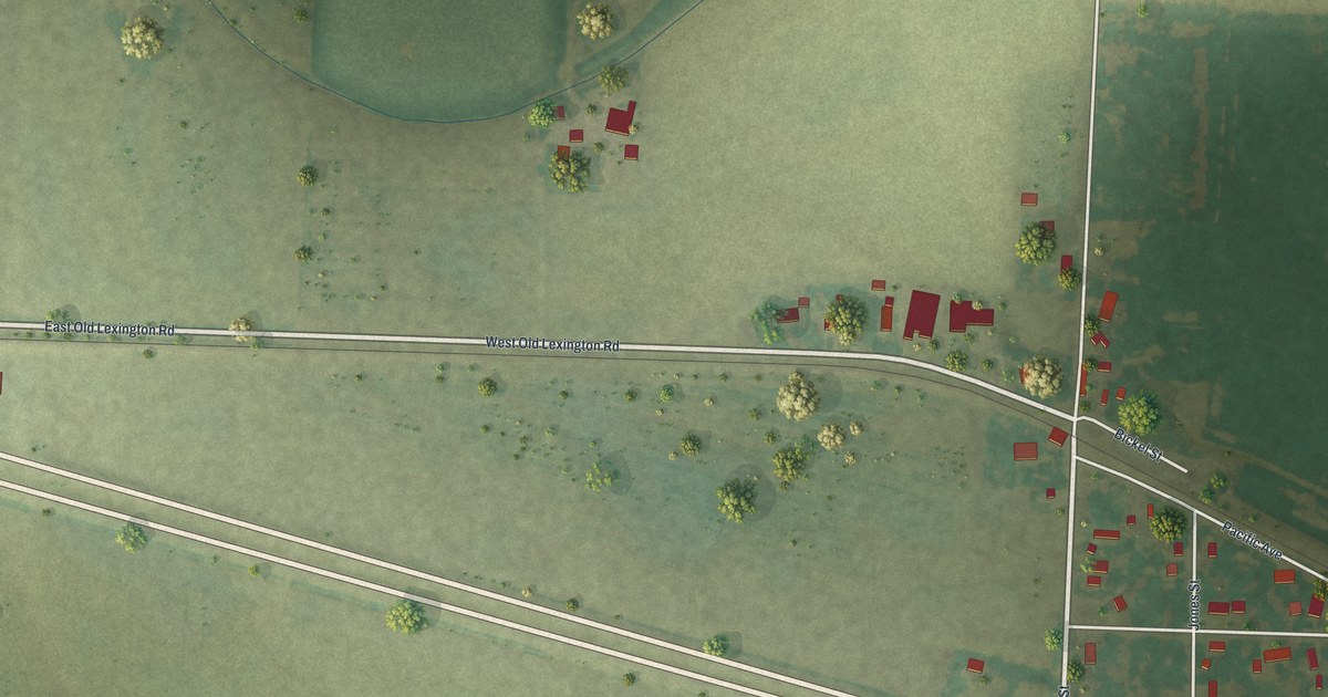
A detailed map of Levasy, Missouri, showing every building in its true location, the roads by name, and shaded topographical relief.
Read More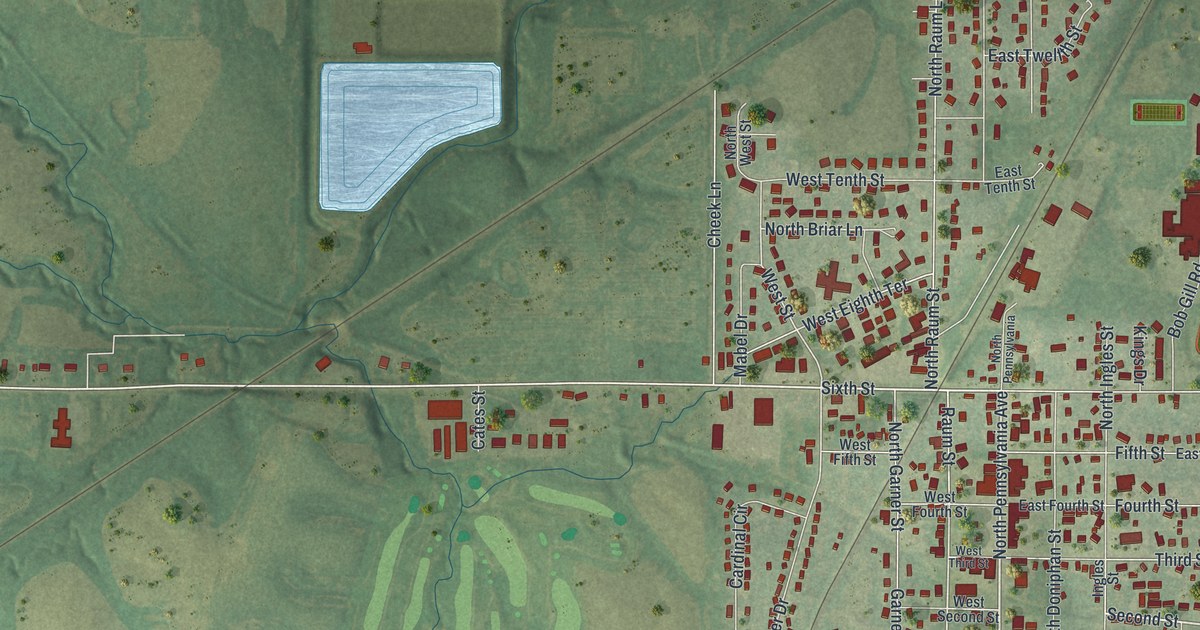
A detailed map of Lawson, Missouri, showing every building in its true location, the roads by name, and shaded topographical relief.
Read More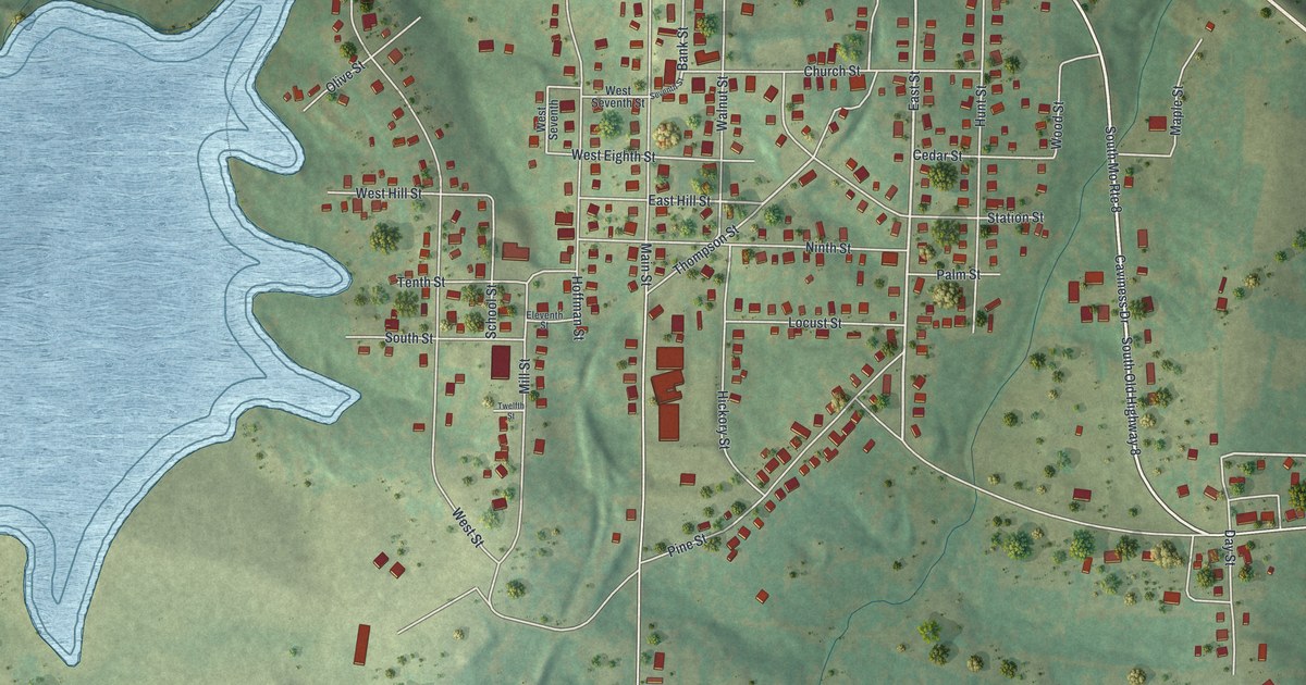
A detailed map of Leadwood, Missouri, showing every building in its true location, the roads by name, and shaded topographical relief.
Read More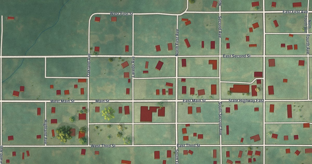
A detailed map of Laredo, Missouri, showing every building in its true location, the roads by name, and shaded topographical relief.
Read More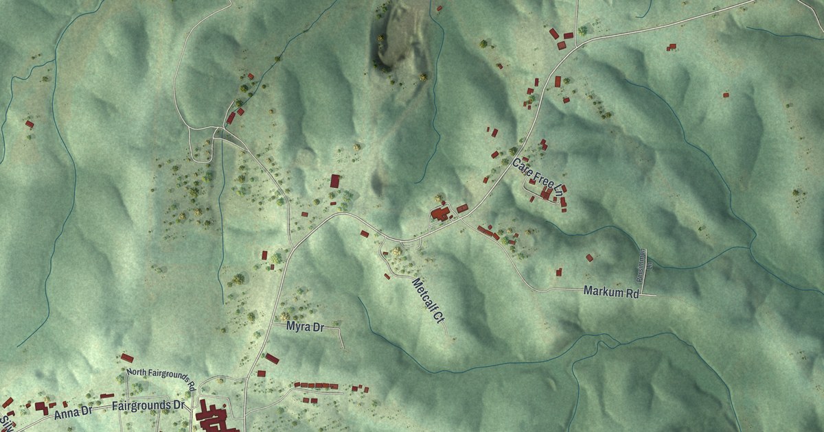
A detailed map of Laurie, Missouri, showing every building in its true location, the roads by name, and shaded topographical relief.
Read More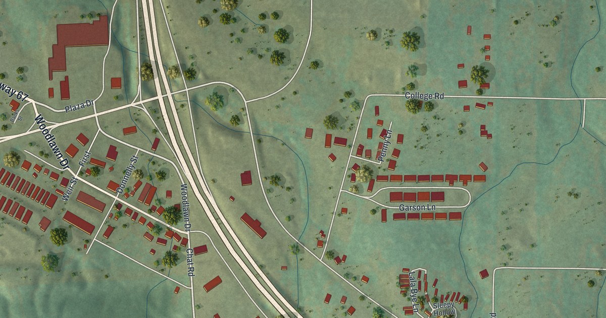
A detailed map of Leadington, Missouri, showing every building in its true location, the roads by name, and shaded topographical relief.
Read More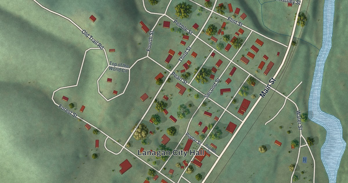
A detailed map of Lanagan, Missouri, showing every building in its true location, the roads by name, and shaded topographical relief.
Read More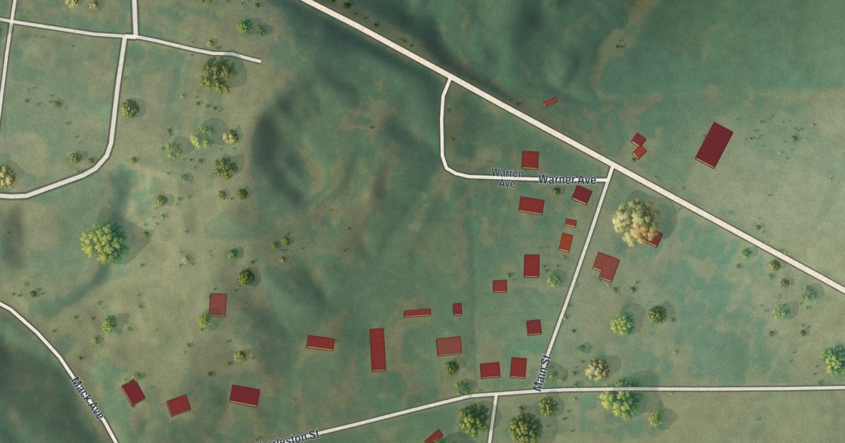
A detailed map of Lambert, Missouri, showing every building in its true location, the roads by name, and shaded topographical relief.
Read More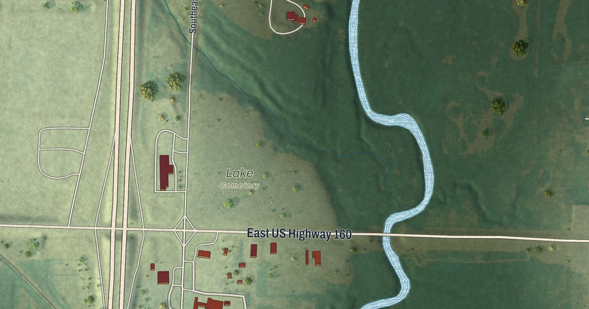
A detailed map of Lamar Heights, Missouri, showing every building in its true location, the roads by name, and shaded topographical relief.
Read More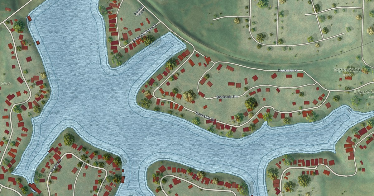
A detailed map of Lake Tapawingo, Missouri, showing every building in its true location, the roads by name, and shaded topographical relief.
Read More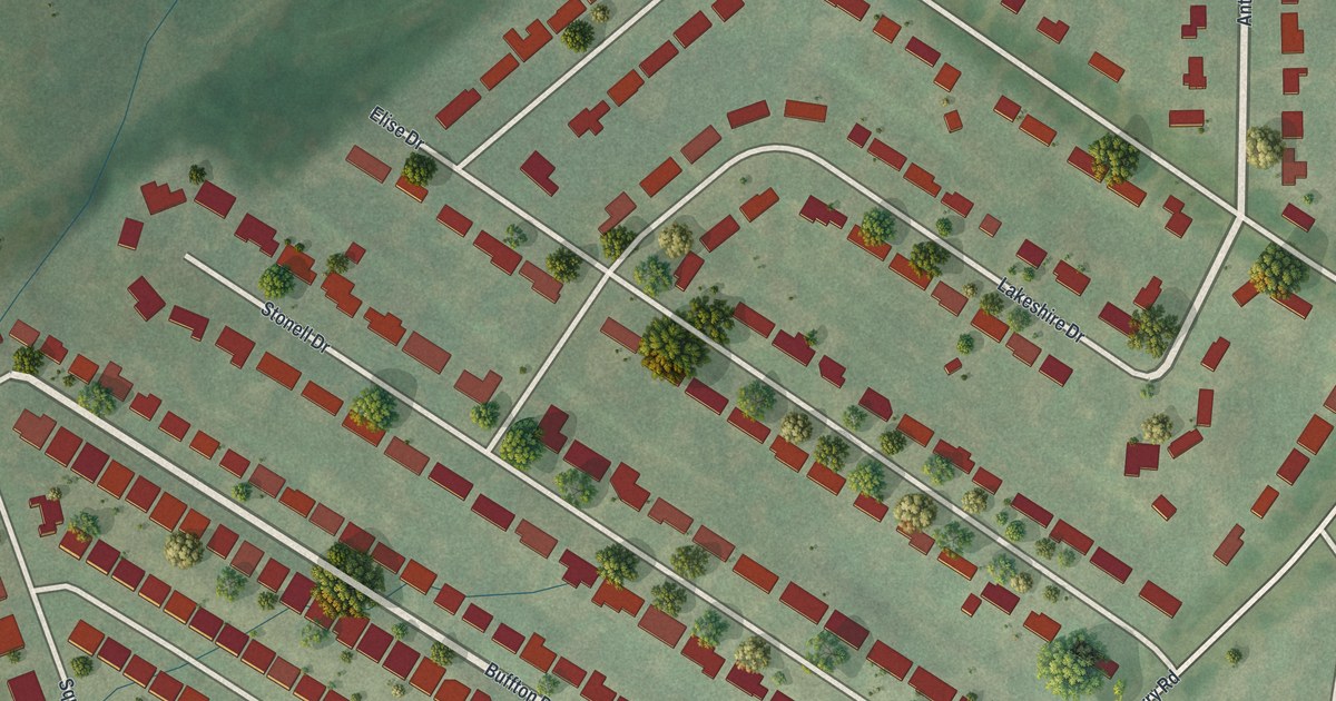
A detailed map of Lakeshire, Missouri, showing every building in its true location, the roads by name, and shaded topographical relief.
Read More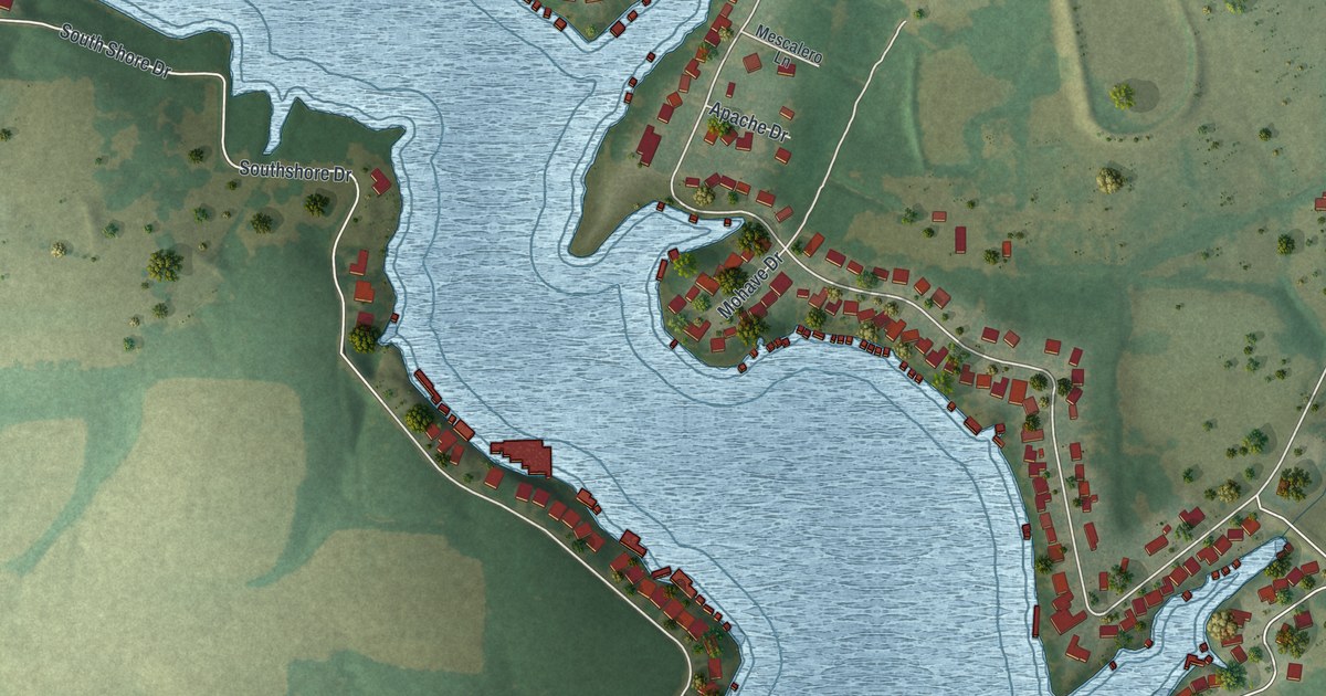
A detailed map of Lake Winnebago, Missouri, showing every building in its true location, the roads by name, and shaded topographical relief.
Read More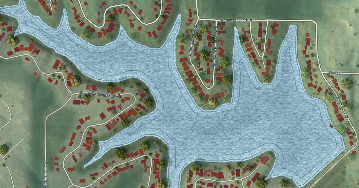
A detailed map of Lake Waukomis, Missouri, showing every building in its true location, the roads by name, and shaded topographical relief.
Read More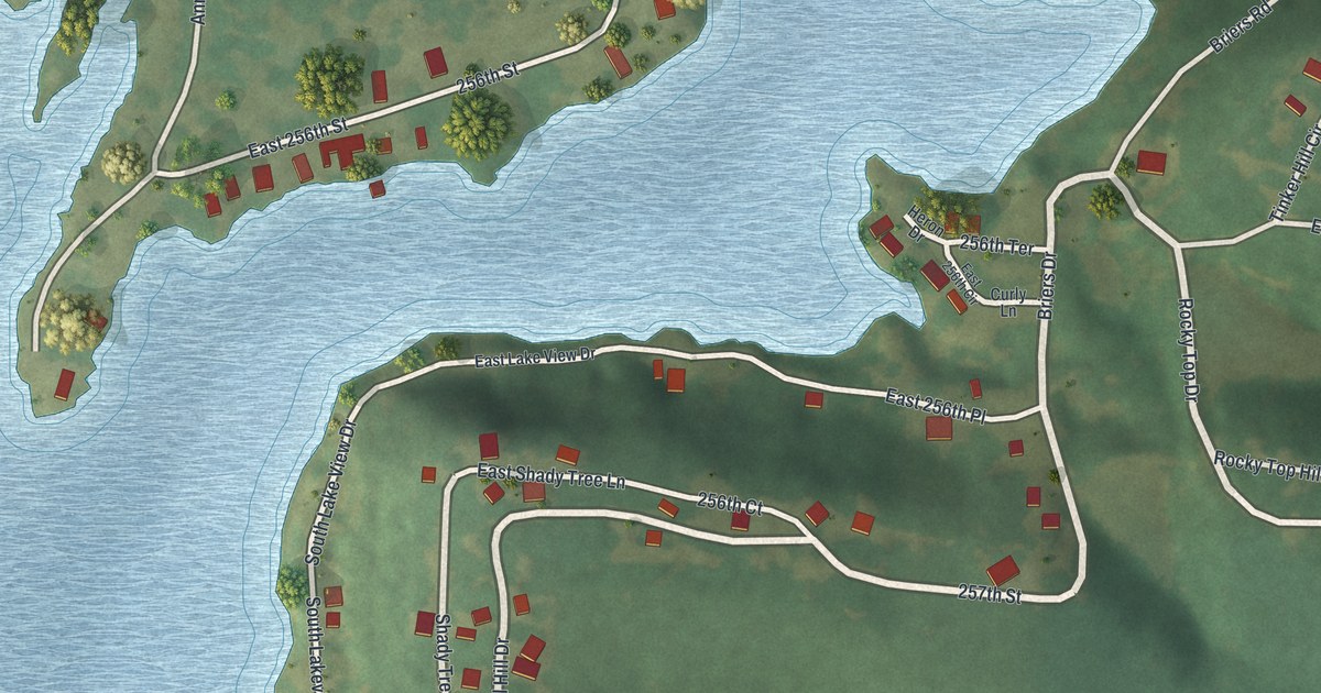
A detailed map of Lake Annette, Missouri, showing every building in its true location, the roads by name, and shaded topographical relief.
Read More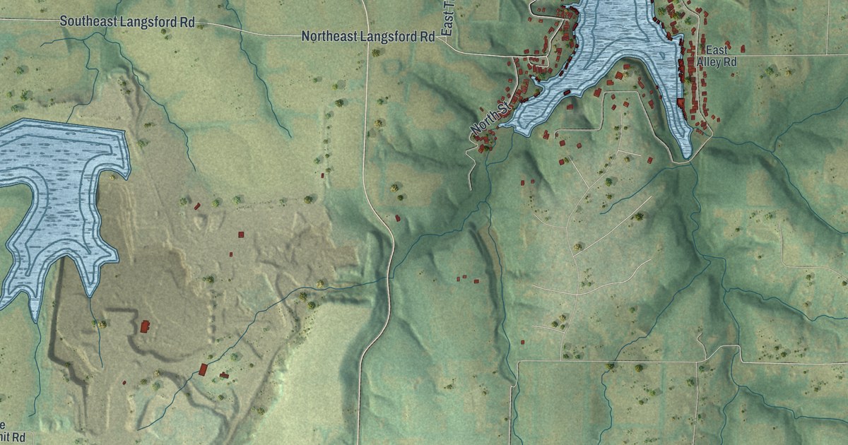
A detailed map of Lake Lotawana, Missouri, showing every building in its true location, the roads by name, and shaded topographical relief.
Read More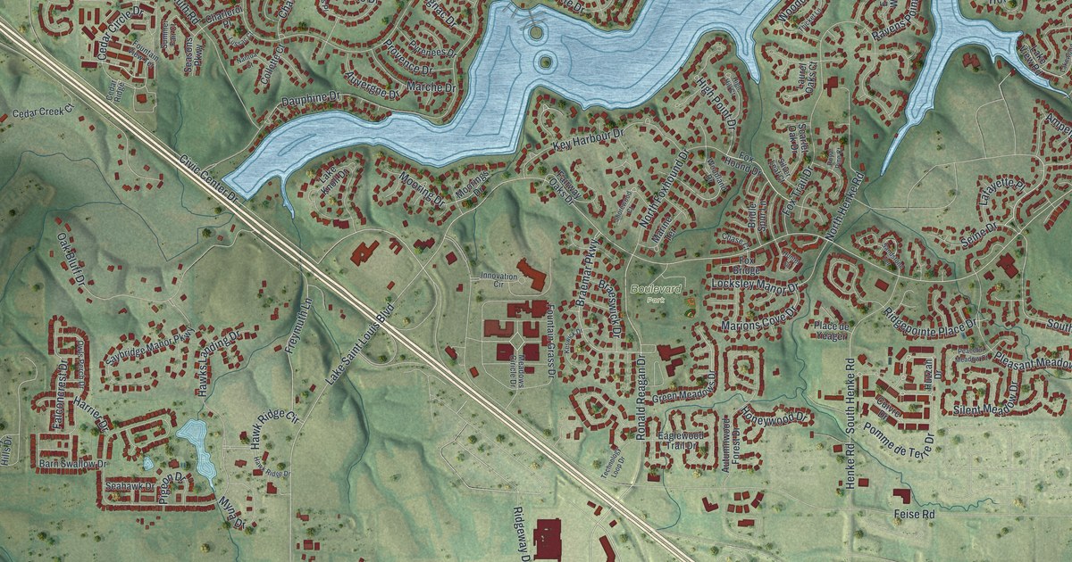
A detailed map of Lake St. Louis, Missouri, showing every building in its true location, the roads by name, and shaded topographical relief.
Read More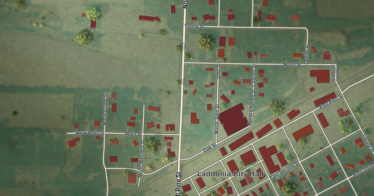
A detailed map of Laddonia, Missouri, showing every building in its true location, the roads by name, and shaded topographical relief.
Read More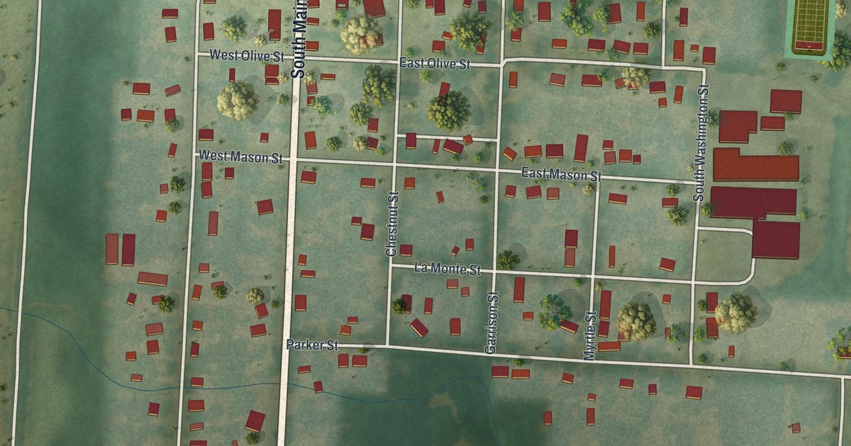
A detailed map of La Monte, Missouri, showing every building in its true location, the roads by name, and shaded topographical relief.
Read More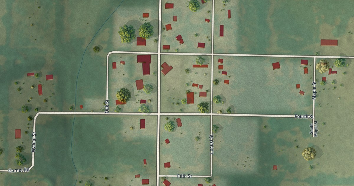
A detailed map of La Russell, Missouri, showing every building in its true location, the roads by name, and shaded topographical relief.
Read More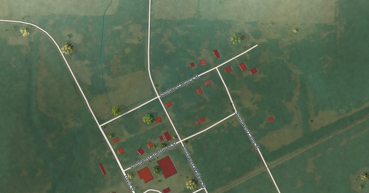
A detailed map of La Due, Missouri, showing every building in its true location, the roads by name, and shaded topographical relief.
Read More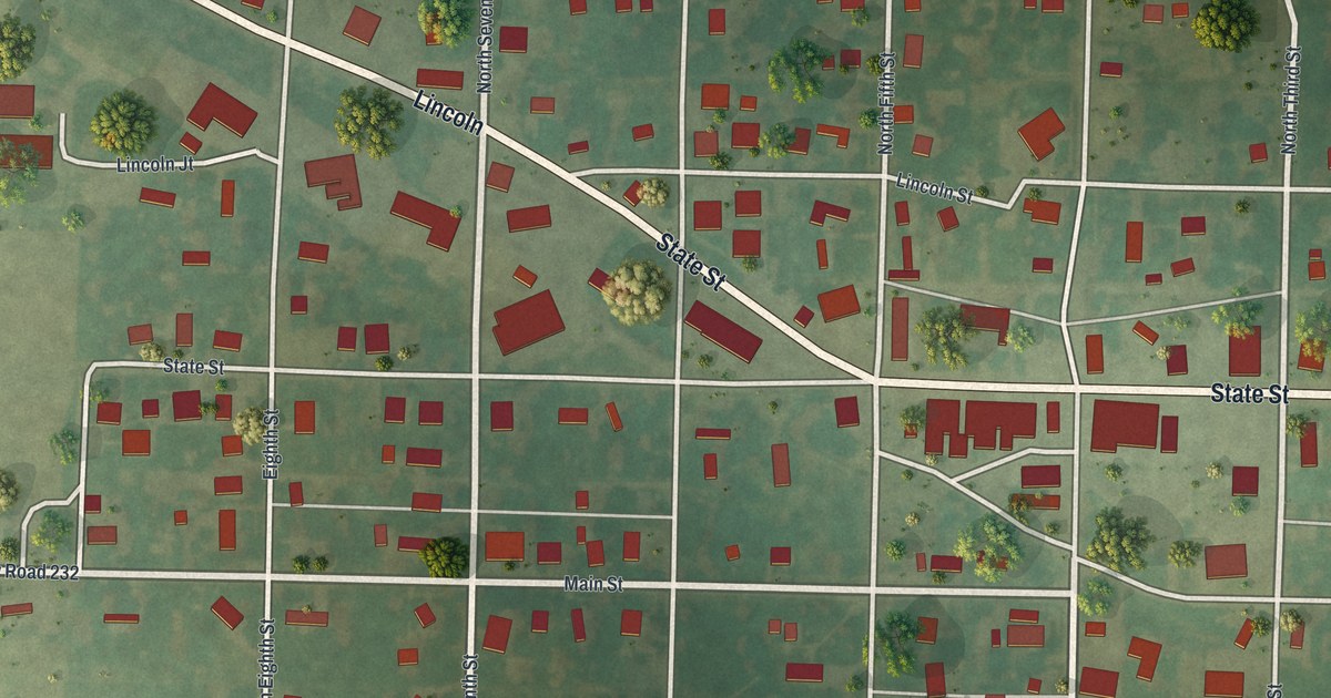
A detailed map of La Belle, Missouri, showing every building in its true location, the roads by name, and shaded topographical relief.
Read More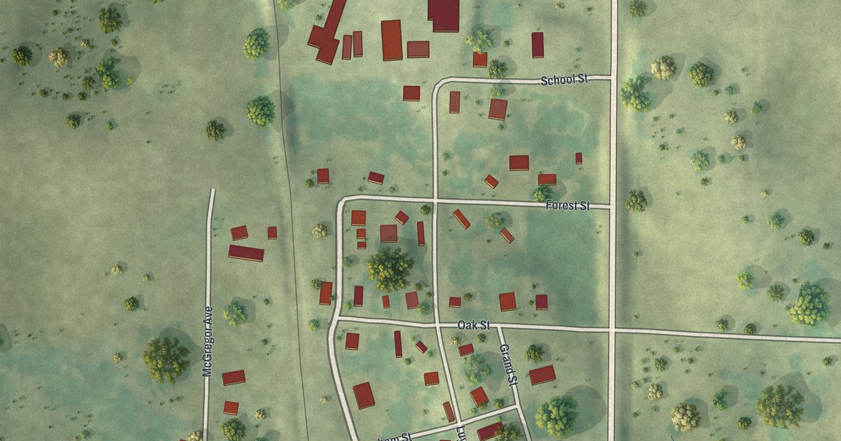
A detailed map of Koshkonong, Missouri, showing every building in its true location, the roads by name, and shaded topographical relief.
Read More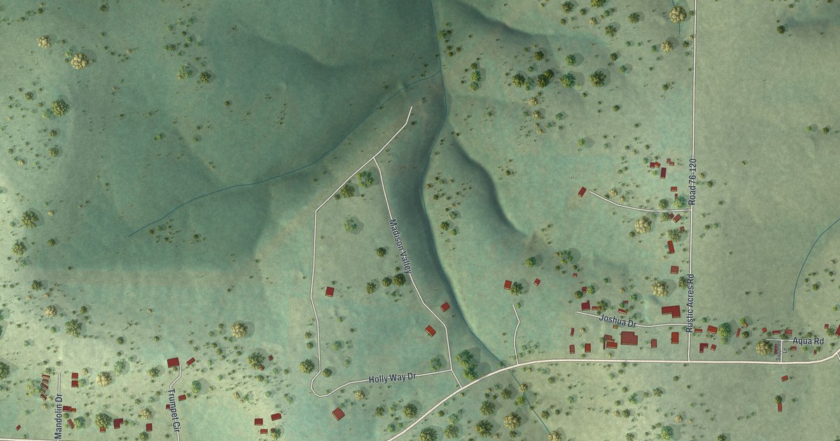
A detailed map of Kirbyville, Missouri, showing every building in its true location, the roads by name, and shaded topographical relief.
Read More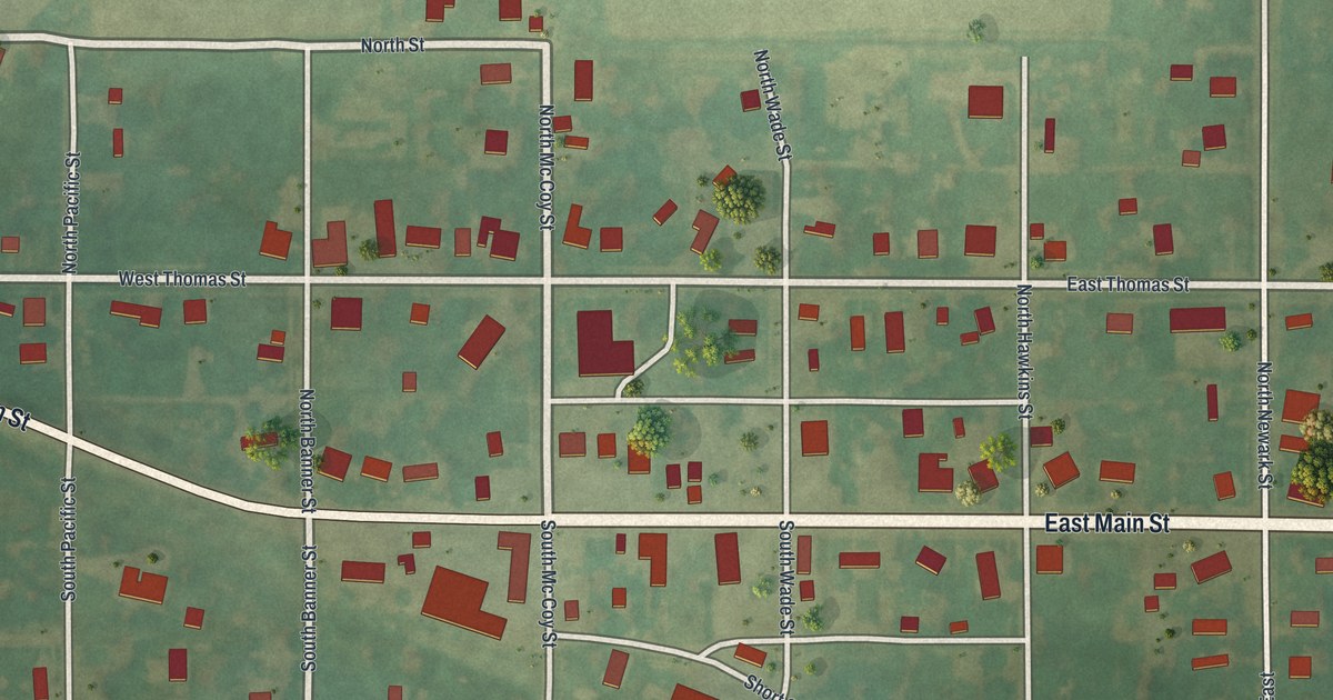
A detailed map of Knox City, Missouri, showing every building in its true location, the roads by name, and shaded topographical relief.
Read More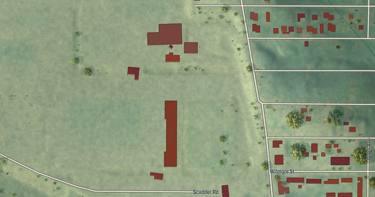
A detailed map of Kinloch, Missouri, showing every building in its true location, the roads by name, and shaded topographical relief.
Read More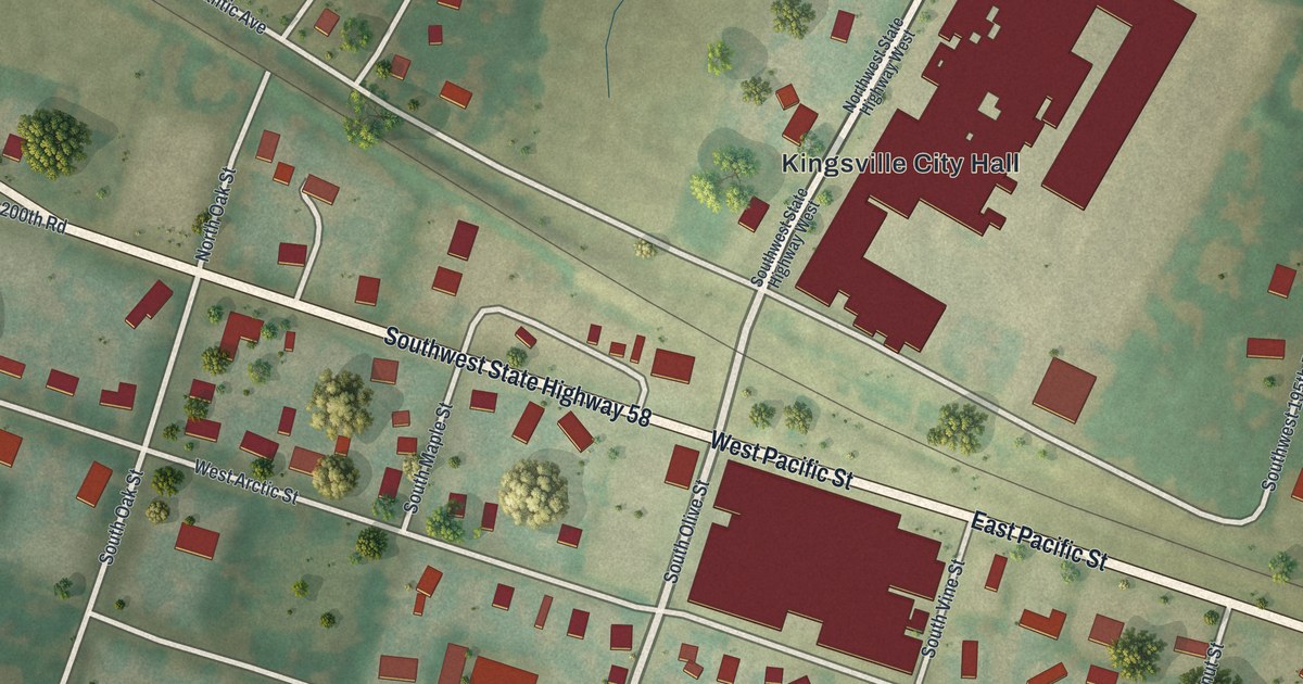
A detailed map of Kingsville, Missouri, showing every building in its true location, the roads by name, and shaded topographical relief.
Read More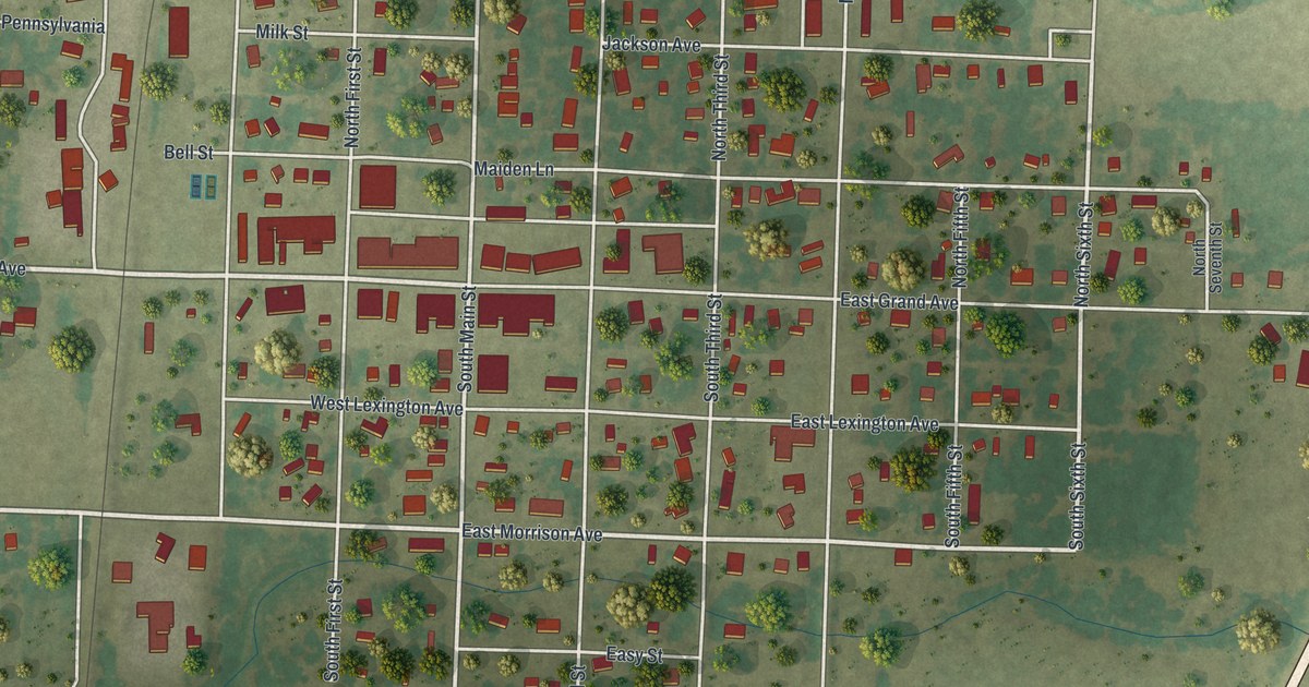
A detailed map of Jasper, Missouri, showing every building in its true location, the roads by name, and shaded topographical relief.
Read More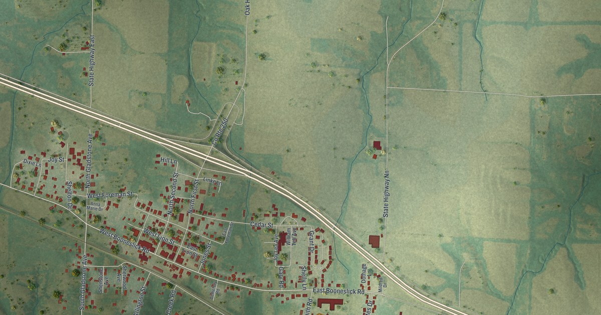
A detailed map of Jonesburg, Missouri, showing every building in its true location, the roads by name, and shaded topographical relief.
Read More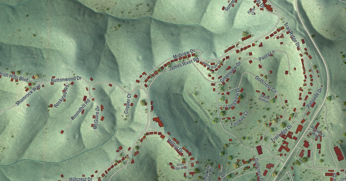
A detailed map of Kimberling City, Missouri, showing every building in its true location, the roads by name, and shaded topographical relief.
Read More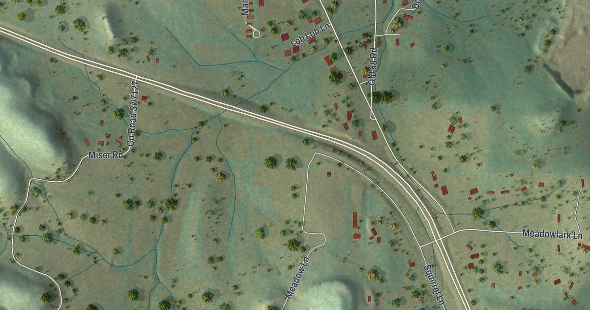
A detailed map of Jane, Missouri, showing every building in its true location, the roads by name, and shaded topographical relief.
Read More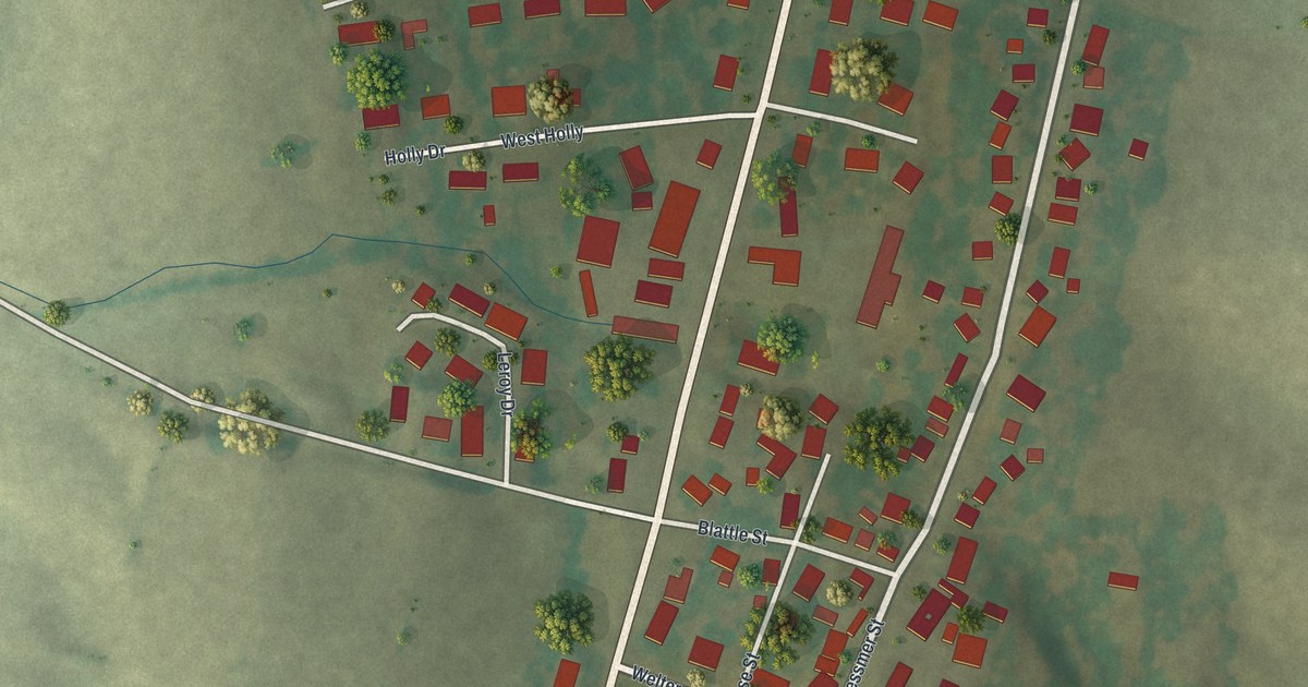
A detailed map of Kelso, Missouri, showing every building in its true location, the roads by name, and shaded topographical relief.
Read More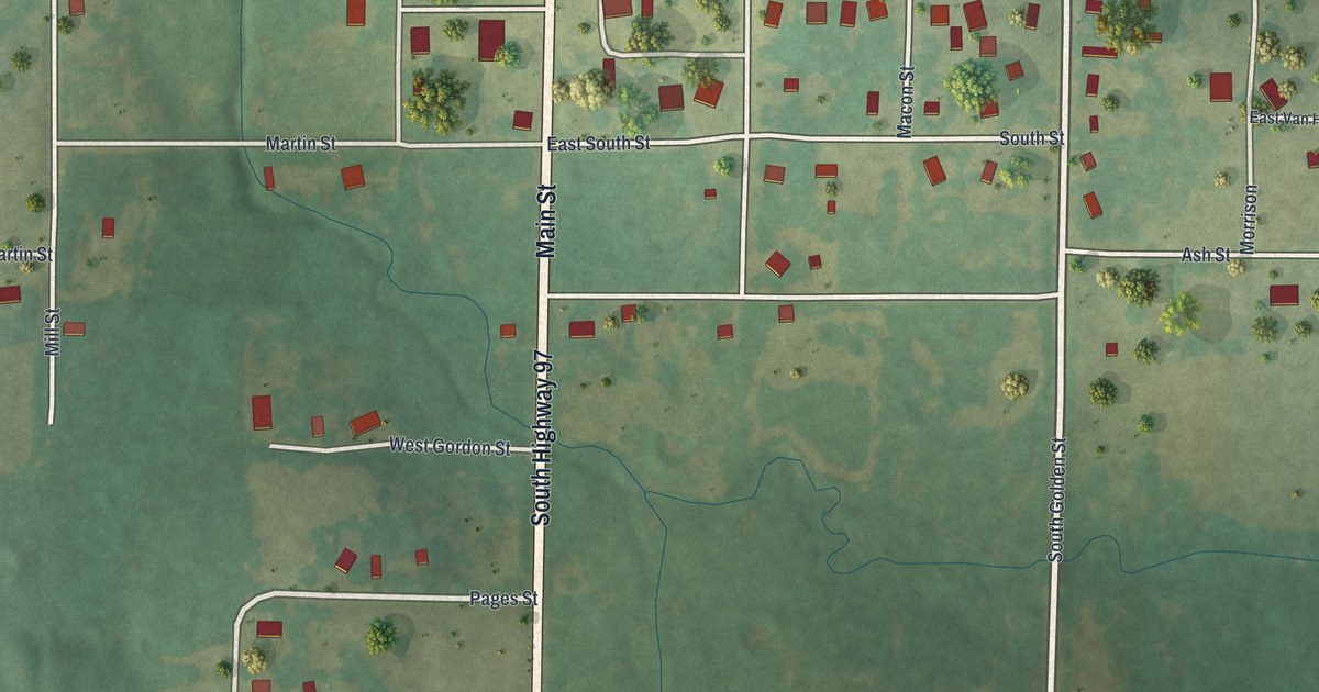
A detailed map of Jerico Springs, Missouri, showing every building in its true location, the roads by name, and shaded topographical relief.
Read More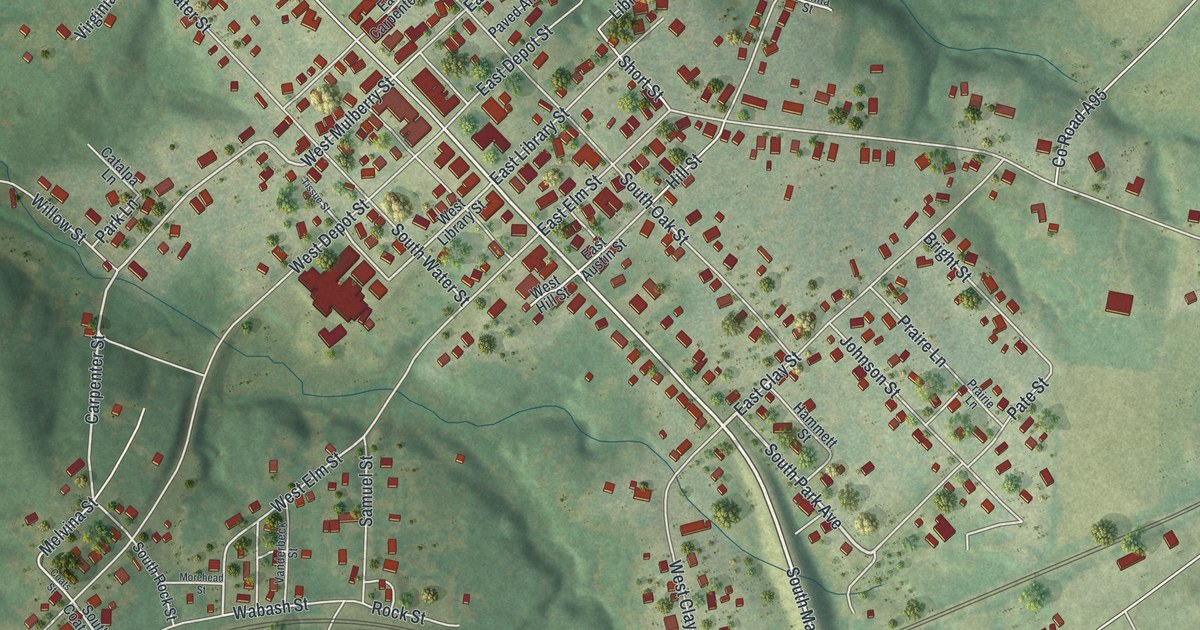
A detailed map of Huntsville, Missouri, showing every building in its true location, the roads by name, and shaded topographical relief.
Read More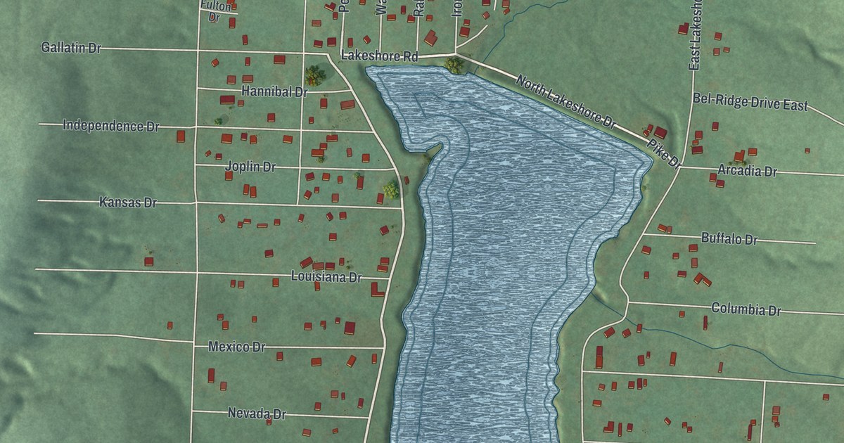
A detailed map of Iron Mountain Lake, Missouri, showing every building in its true location, the roads by name, and shaded topographical relief.
Read More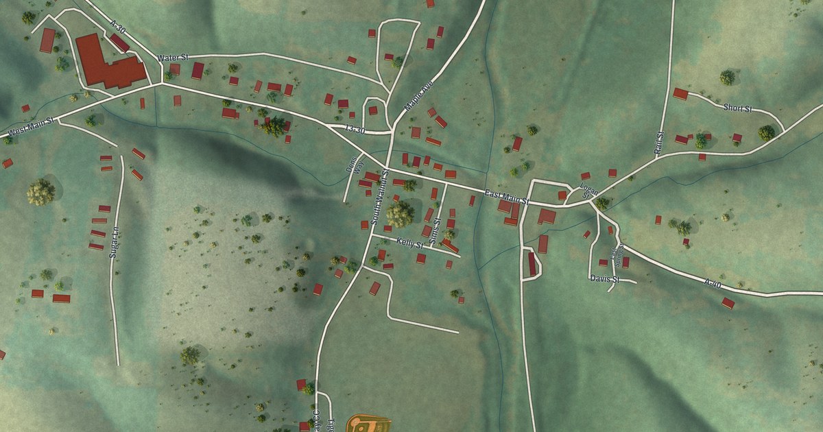
A detailed map of Hurley, Missouri, showing every building in its true location, the roads by name, and shaded topographical relief.
Read More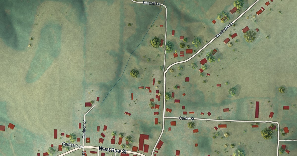
A detailed map of Jamestown, Missouri, showing every building in its true location, the roads by name, and shaded topographical relief.
Read More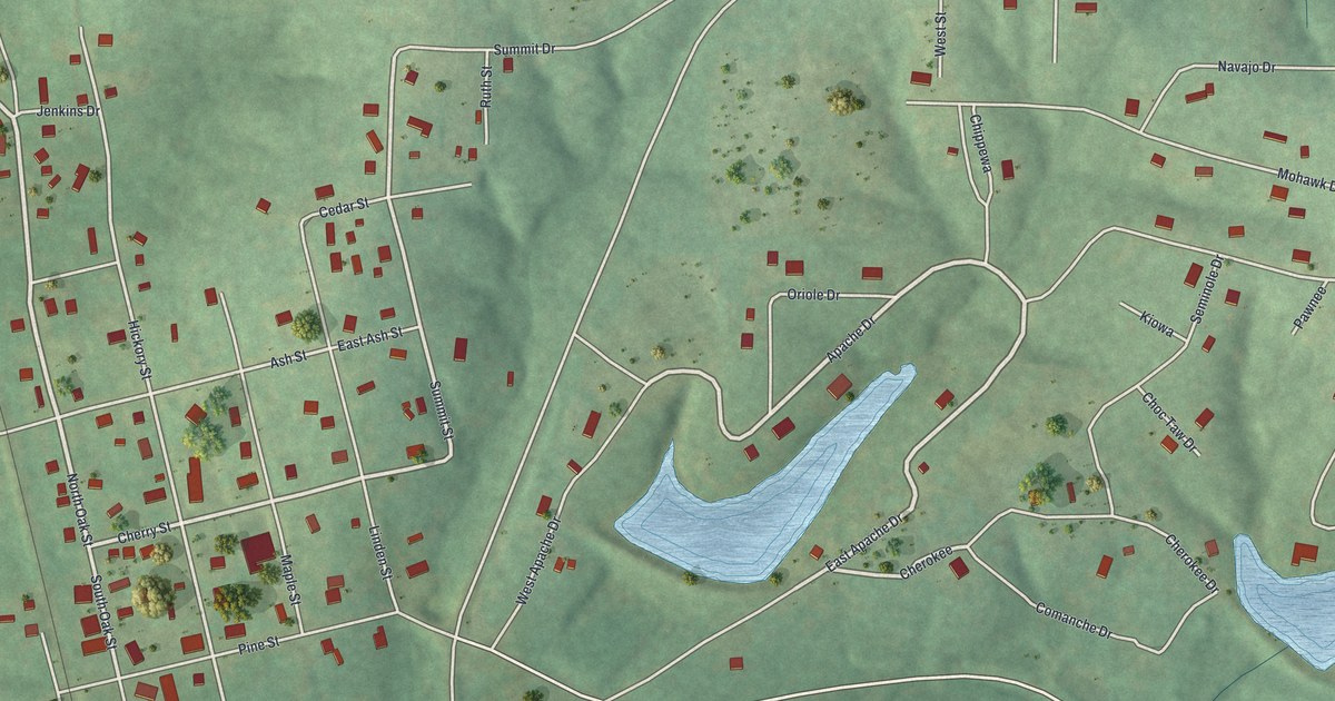
A detailed map of Irondale, Missouri, showing every building in its true location, the roads by name, and shaded topographical relief.
Read More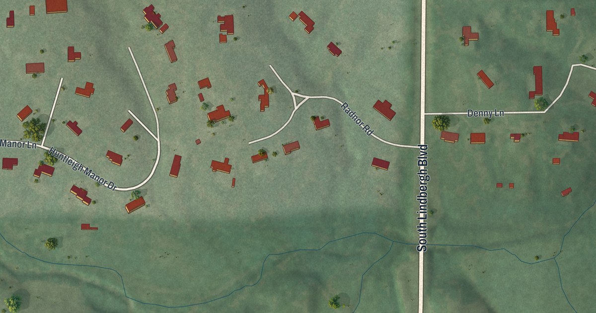
A detailed map of Huntleigh, Missouri, showing every building in its true location, the roads by name, and shaded topographical relief.
Read More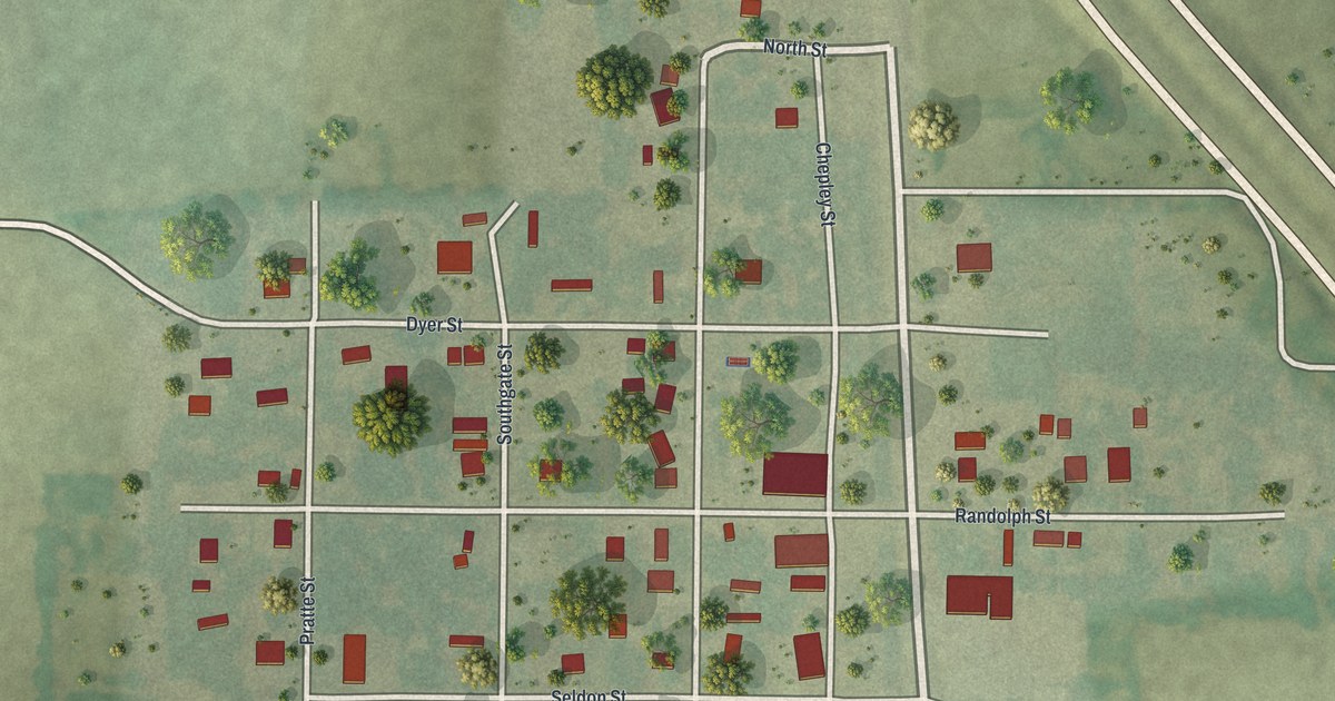
A detailed map of Jacksonville, Missouri, showing every building in its true location, the roads by name, and shaded topographical relief.
Read More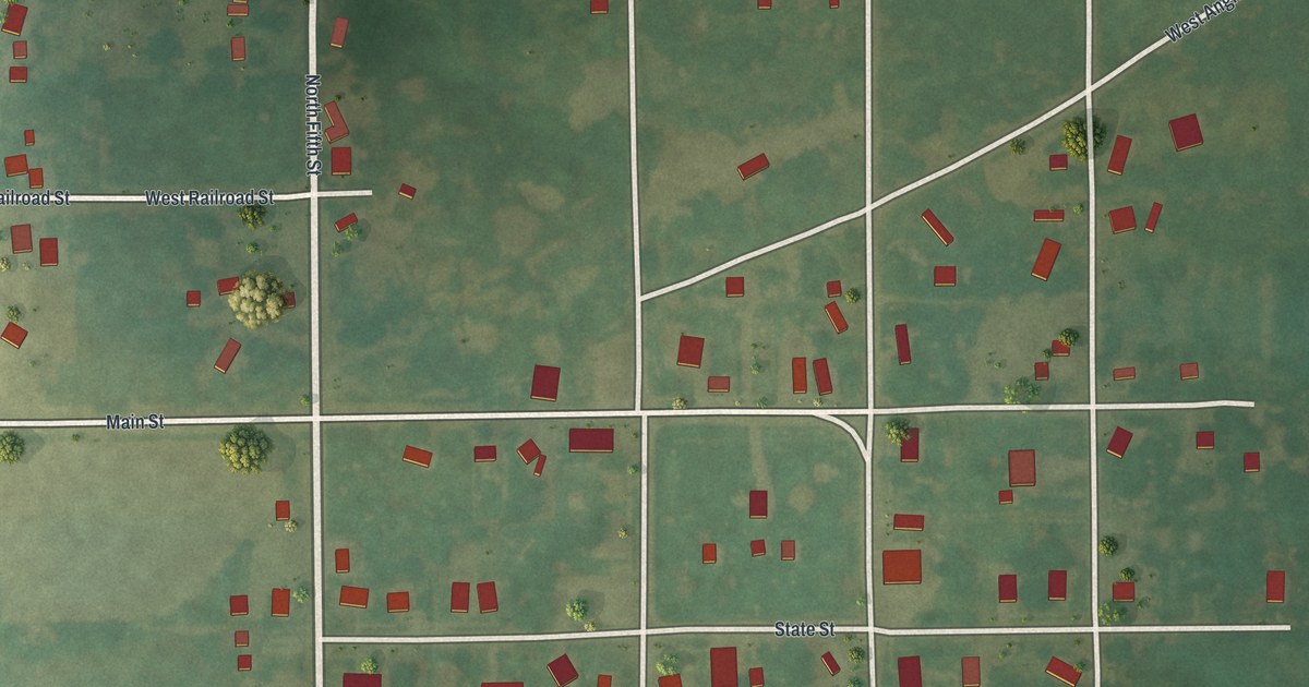
A detailed map of Hurdland, Missouri, showing every building in its true location, the roads by name, and shaded topographical relief.
Read More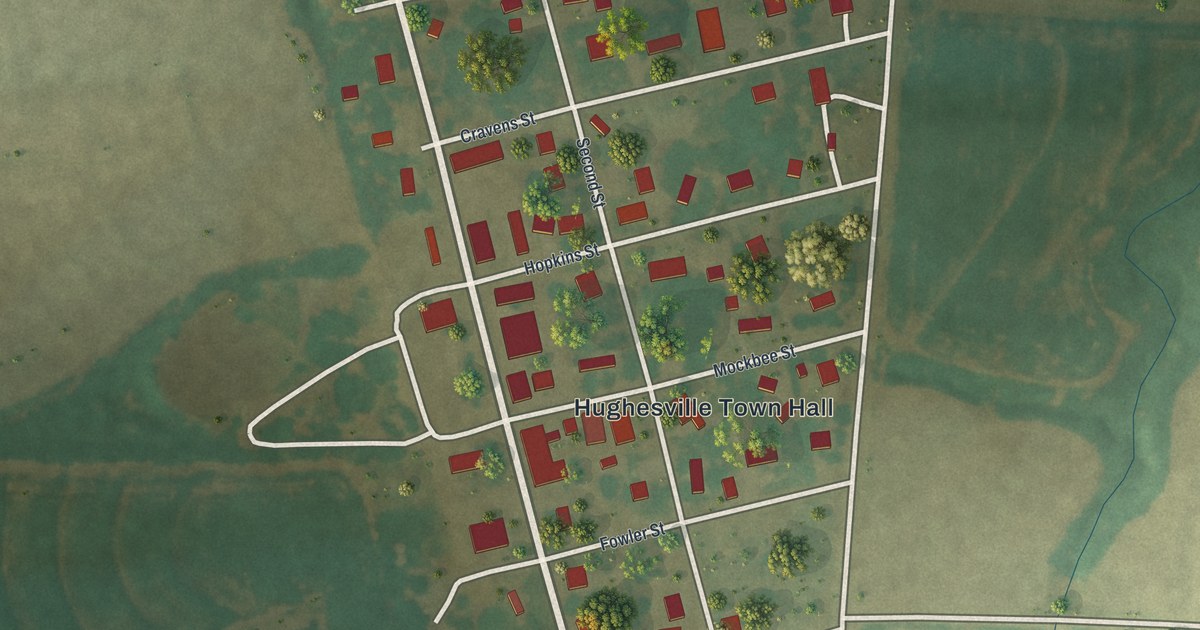
A detailed map of Hughesville, Missouri, showing every building in its true location, the roads by name, and shaded topographical relief.
Read More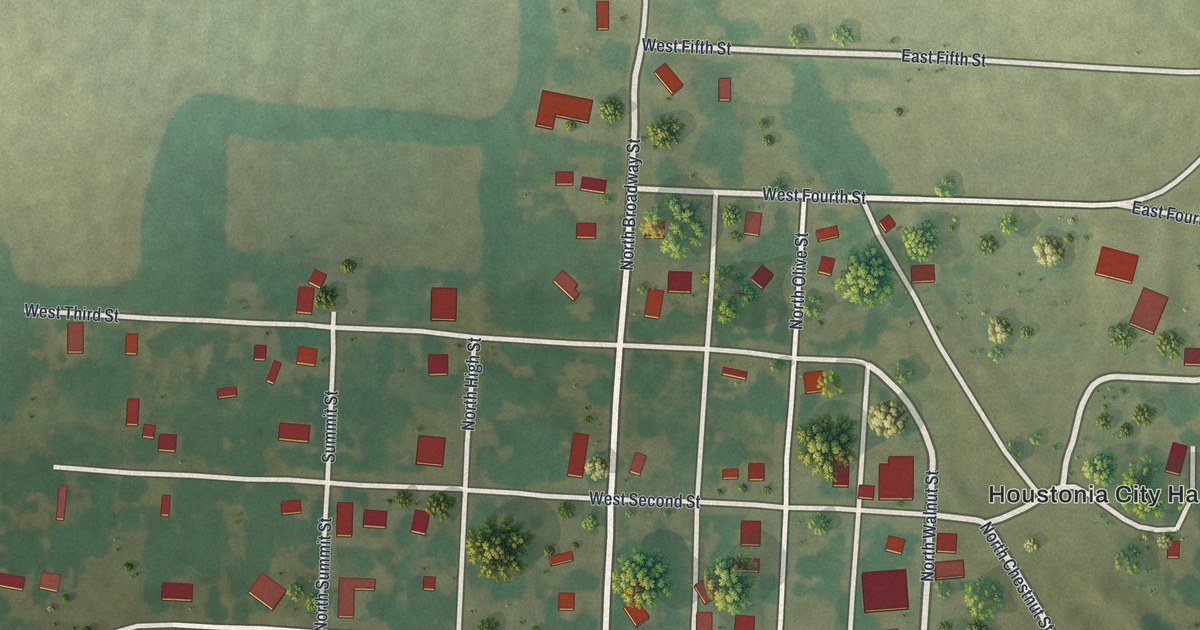
A detailed map of Houstonia, Missouri, showing every building in its true location, the roads by name, and shaded topographical relief.
Read More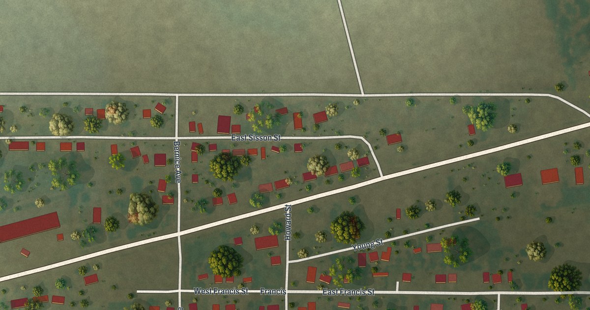
A detailed map of Howardville, Missouri, showing every building in its true location, the roads by name, and shaded topographical relief.
Read More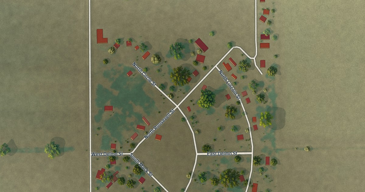
A detailed map of Homestown, Missouri, showing every building in its true location, the roads by name, and shaded topographical relief.
Read More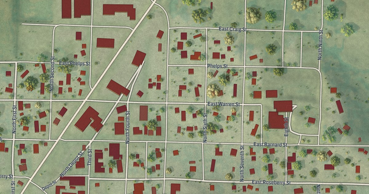
A detailed map of Hopkins, Missouri, showing every building in its true location, the roads by name, and shaded topographical relief.
Read More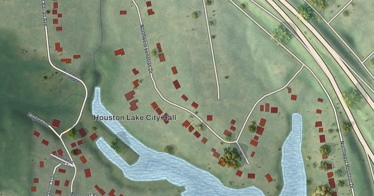
A detailed map of Houston Lake, Missouri, showing every building in its true location, the roads by name, and shaded topographical relief.
Read More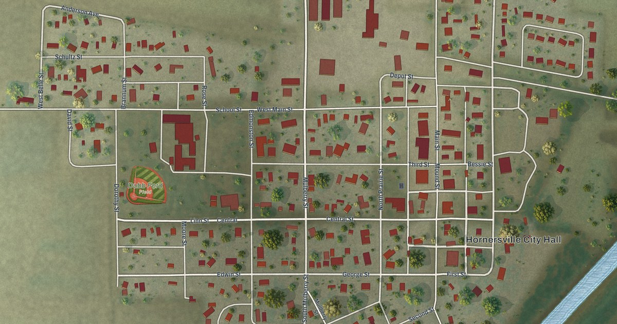
A detailed map of Hornersville, Missouri, showing every building in its true location, the roads by name, and shaded topographical relief.
Read More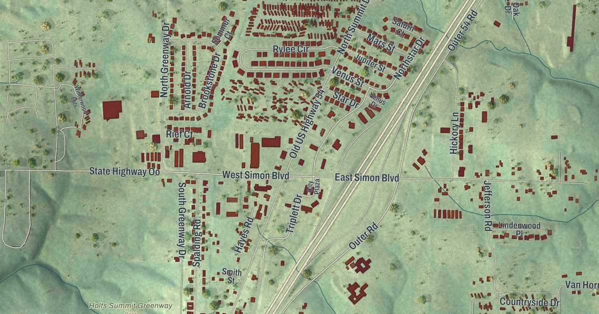
A detailed map of Holts Summit, Missouri, showing every building in its true location, the roads by name, and shaded topographical relief.
Read More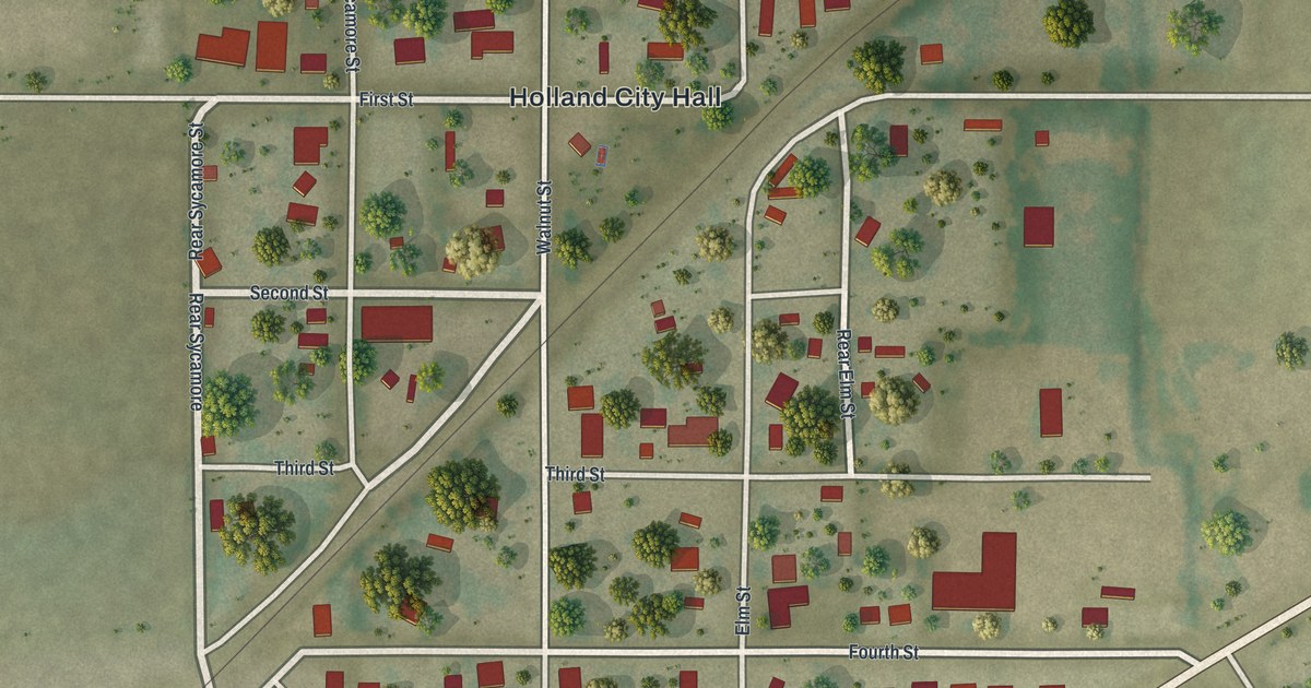
A detailed map of Holland, Missouri, showing every building in its true location, the roads by name, and shaded topographical relief.
Read More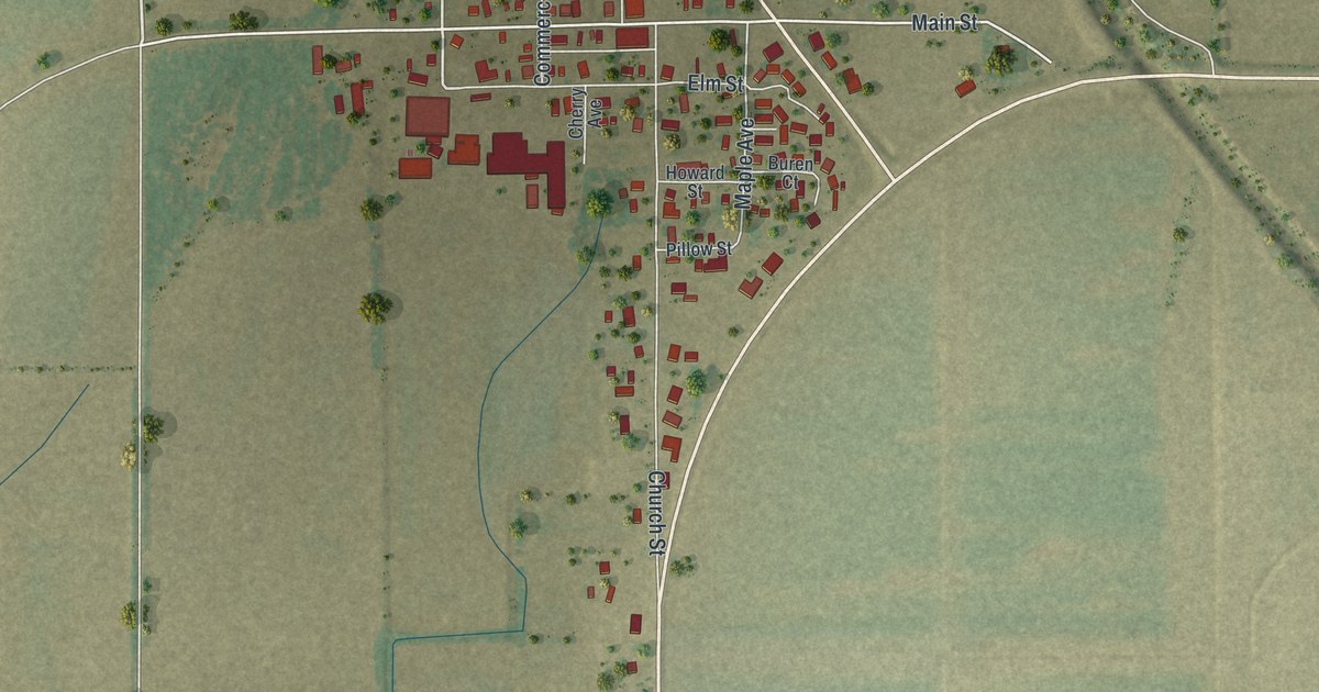
A detailed map of Holcomb, Missouri, showing every building in its true location, the roads by name, and shaded topographical relief.
Read More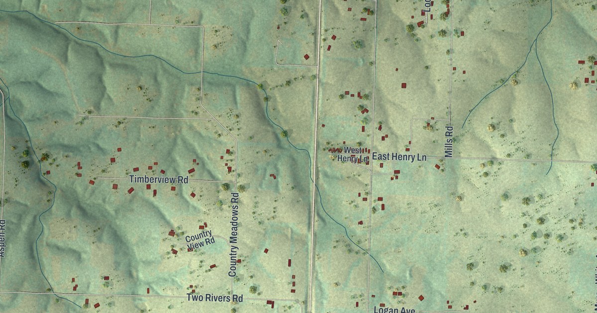
A detailed map of Highlandville, Missouri, showing every building in its true location, the roads by name, and shaded topographical relief.
Read More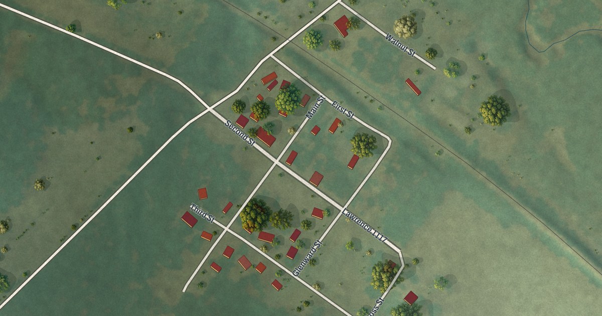
A detailed map of Hoberg, Missouri, showing every building in its true location, the roads by name, and shaded topographical relief.
Read More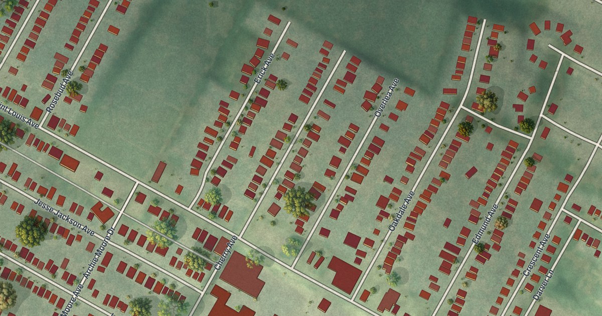
A detailed map of Hillsdale, Missouri, showing every building in its true location, the roads by name, and shaded topographical relief.
Read More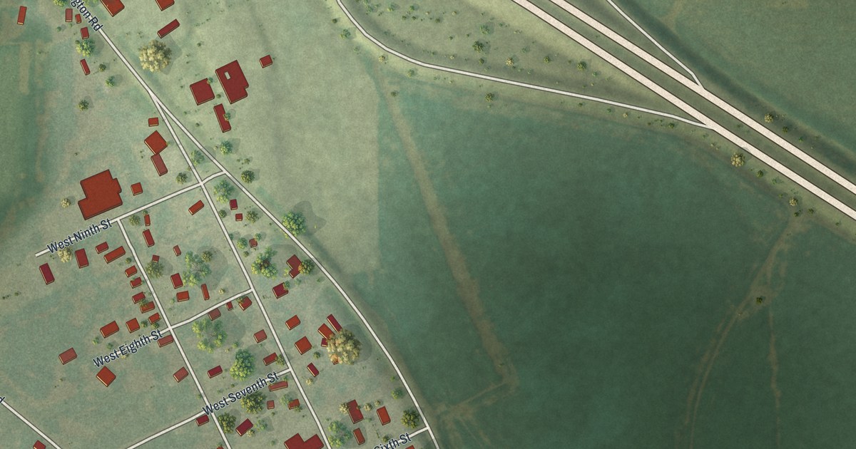
A detailed map of Henrietta, Missouri, showing every building in its true location, the roads by name, and shaded topographical relief.
Read More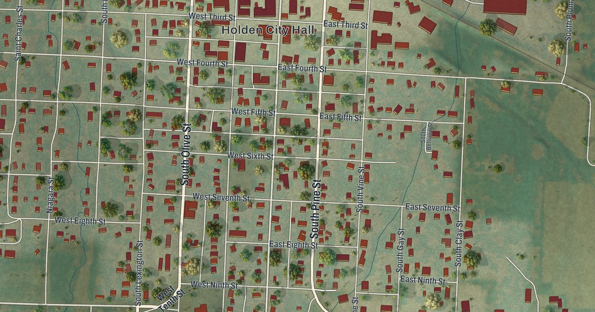
A detailed map of Holden, Missouri, showing every building in its true location, the roads by name, and shaded topographical relief.
Read More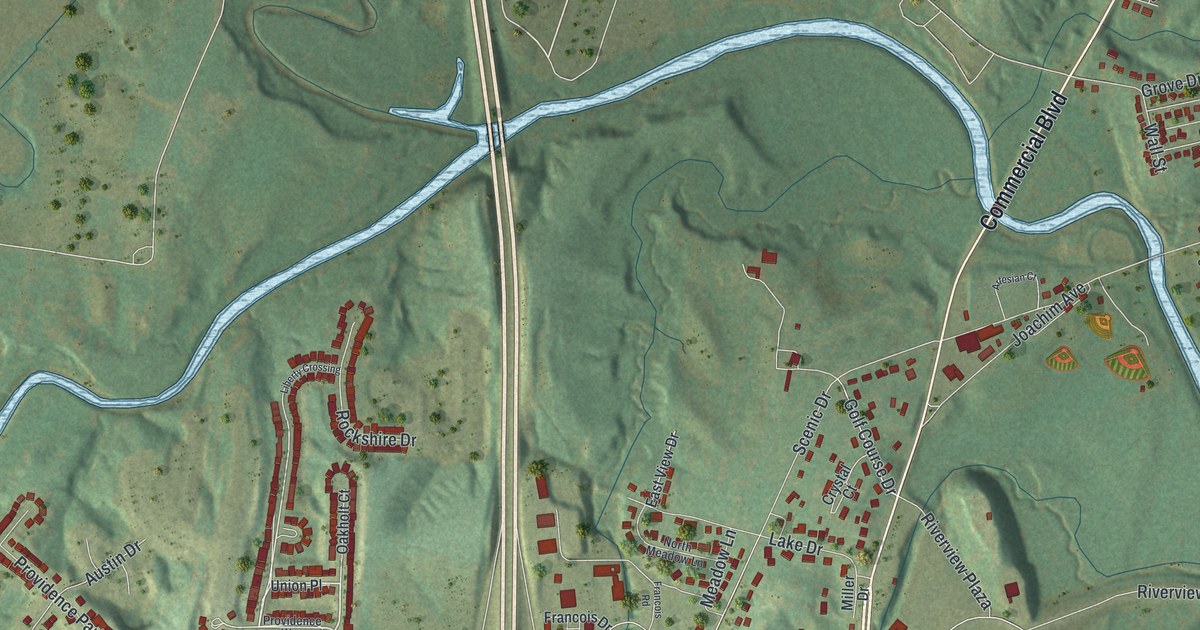
A detailed map of Herculaneum, Missouri, showing every building in its true location, the roads by name, and shaded topographical relief.
Read More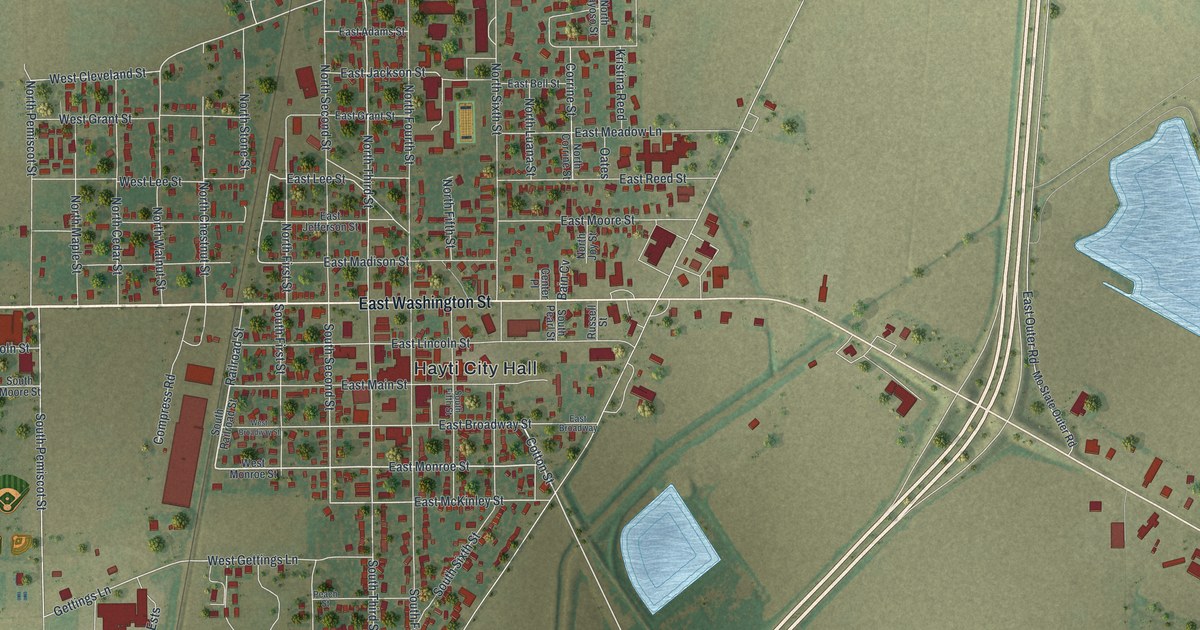
A detailed map of Hayti, Missouri, showing every building in its true location, the roads by name, and shaded topographical relief.
Read More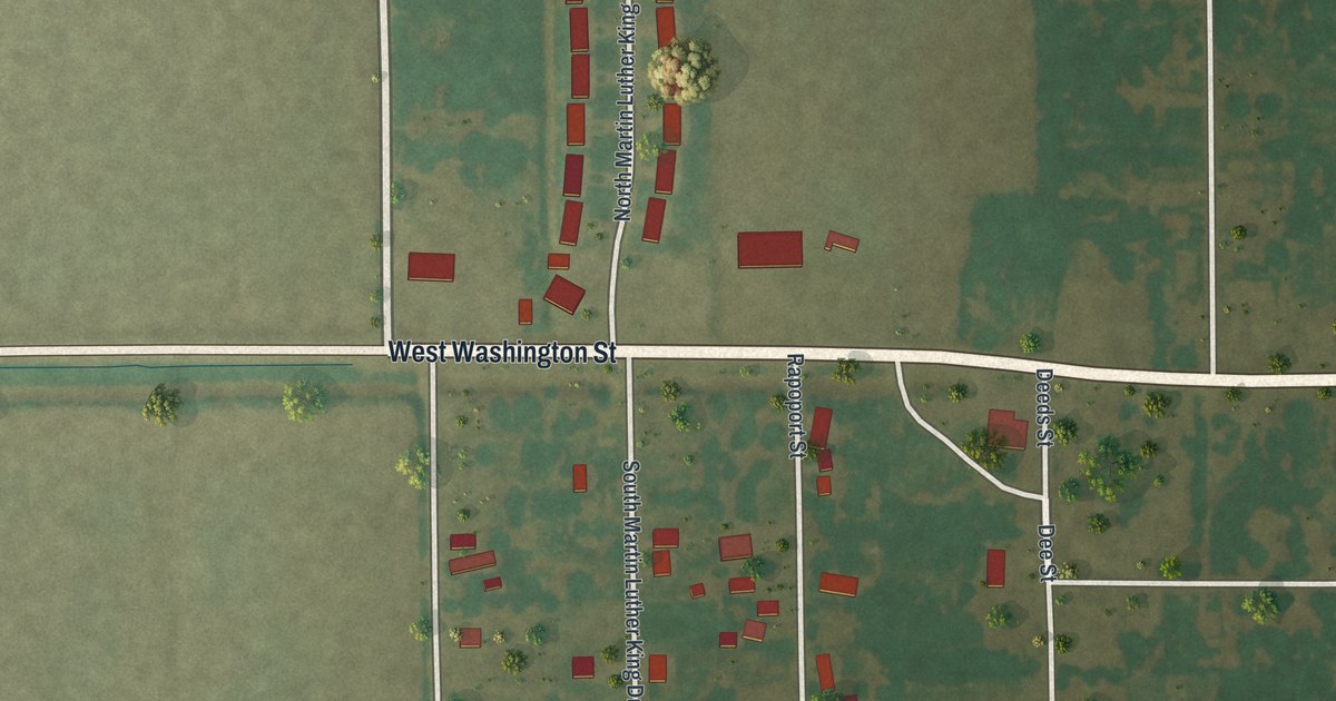
A detailed map of Hayti Heights, Missouri, showing every building in its true location, the roads by name, and shaded topographical relief.
Read More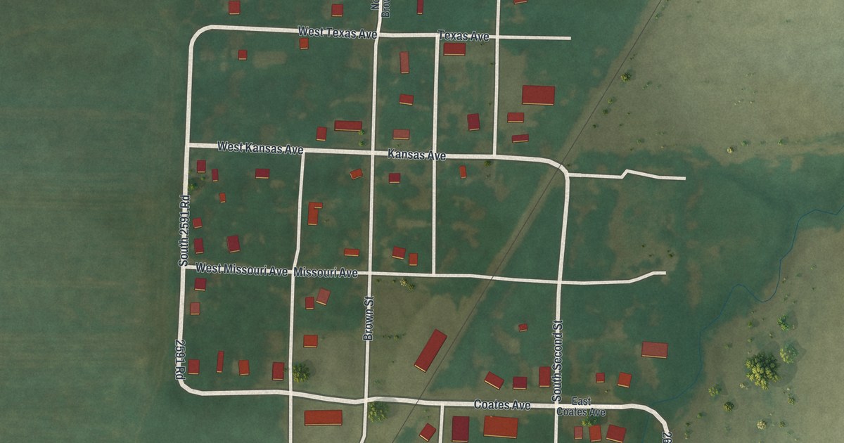
A detailed map of Harwood, Missouri, showing every building in its true location, the roads by name, and shaded topographical relief.
Read More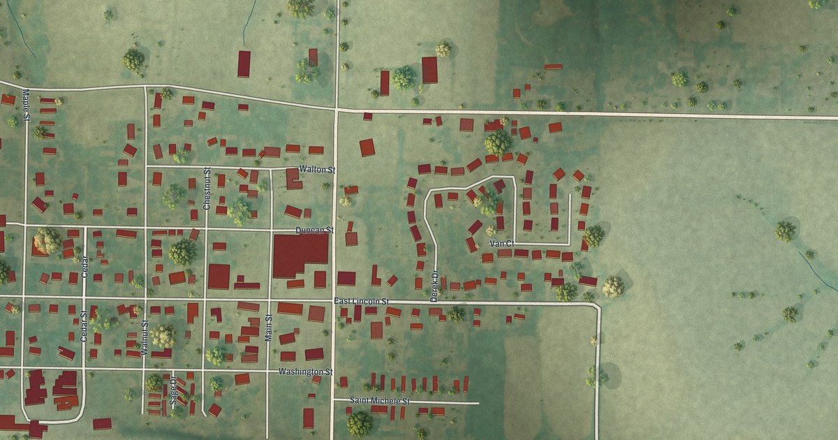
A detailed map of Hawk Point, Missouri, showing every building in its true location, the roads by name, and shaded topographical relief.
Read More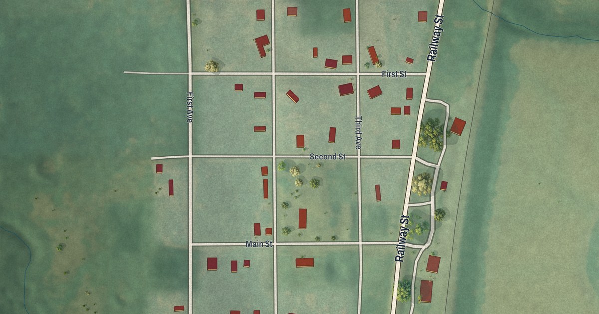
A detailed map of Harris, Missouri, showing every building in its true location, the roads by name, and shaded topographical relief.
Read More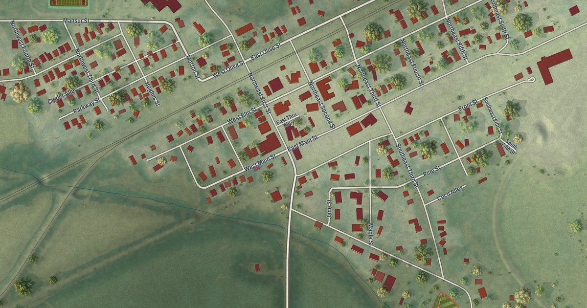
A detailed map of Hardin, Missouri, showing every building in its true location, the roads by name, and shaded topographical relief.
Read More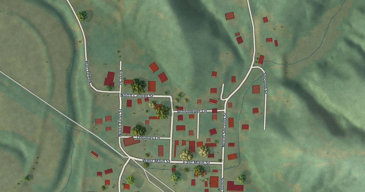
A detailed map of Hartsburg, Missouri, showing every building in its true location, the roads by name, and shaded topographical relief.
Read More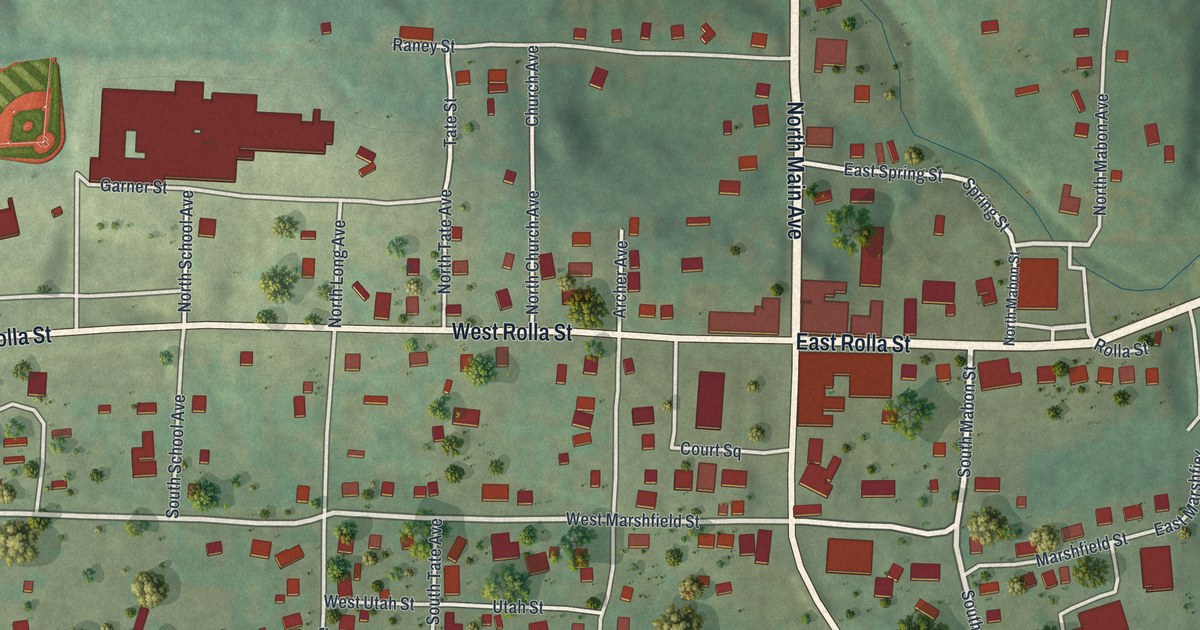
A detailed map of Hartville, Missouri, showing every building in its true location, the roads by name, and shaded topographical relief.
Read More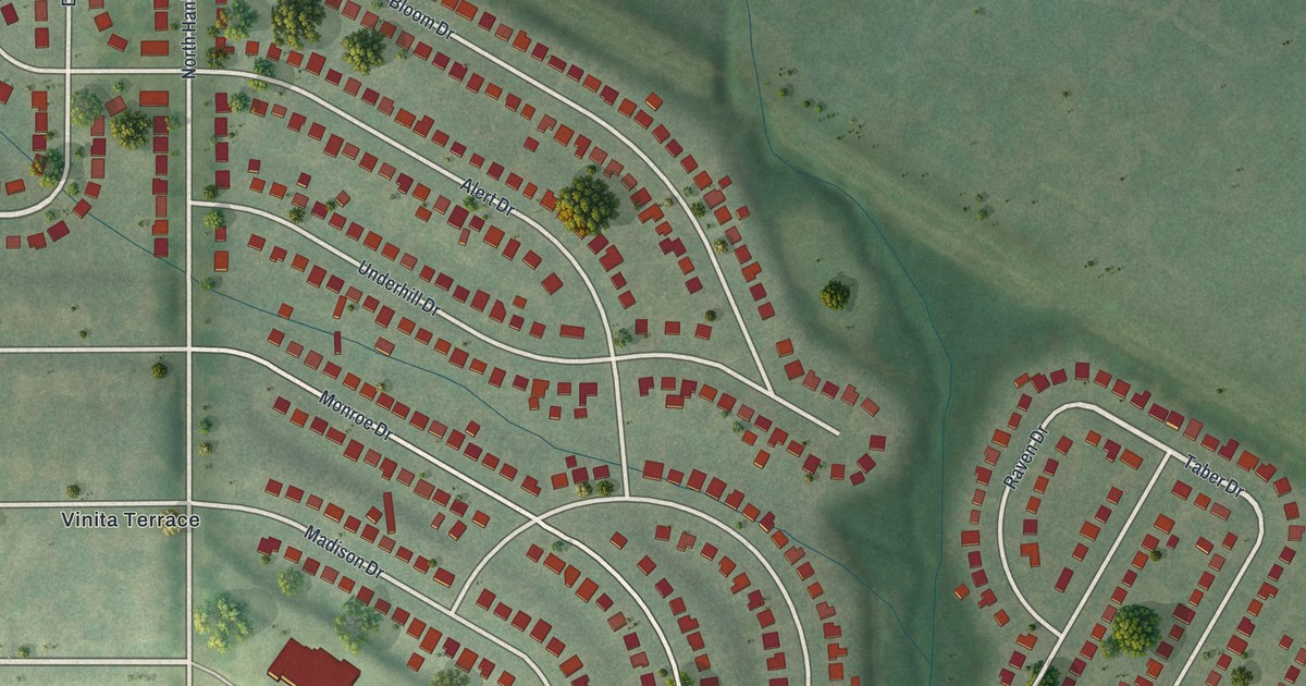
A detailed map of Hanley Hills, Missouri, showing every building in its true location, the roads by name, and shaded topographical relief.
Read More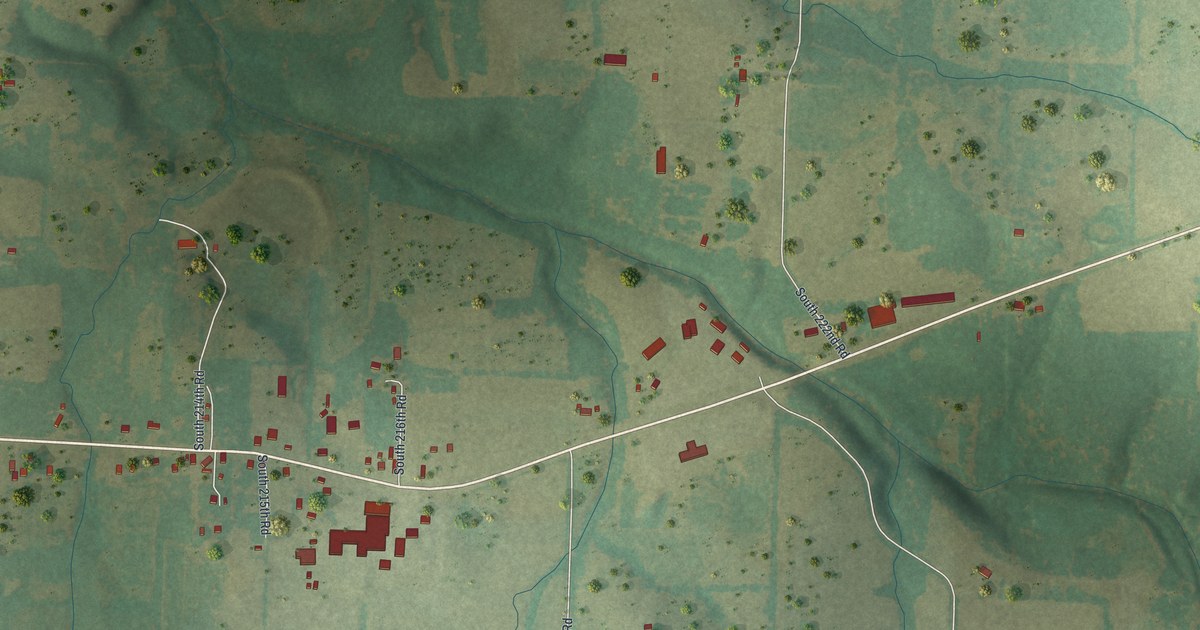
A detailed map of Halfway, Missouri, showing every building in its true location, the roads by name, and shaded topographical relief.
Read More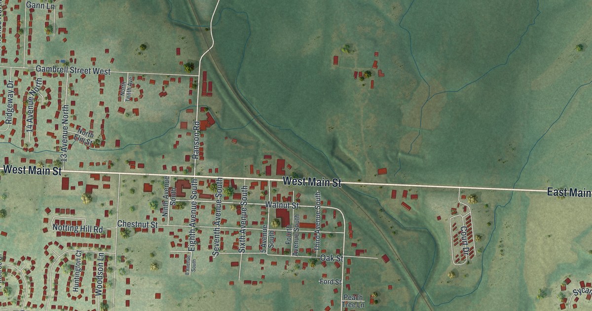
A detailed map of Greenwood, Missouri, showing every building in its true location, the roads by name, and shaded topographical relief.
Read More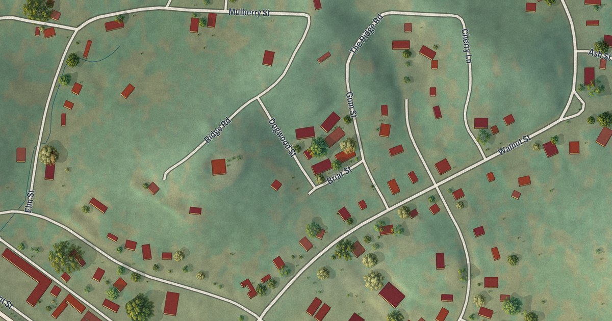
A detailed map of Greenville, Missouri, showing every building in its true location, the roads by name, and shaded topographical relief.
Read More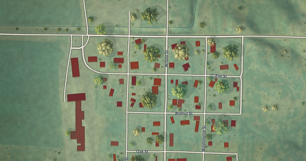
A detailed map of Guilford, Missouri, showing every building in its true location, the roads by name, and shaded topographical relief.
Read More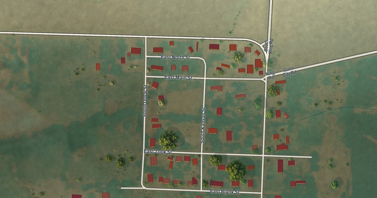
A detailed map of Gunn City, Missouri, showing every building in its true location, the roads by name, and shaded topographical relief.
Read More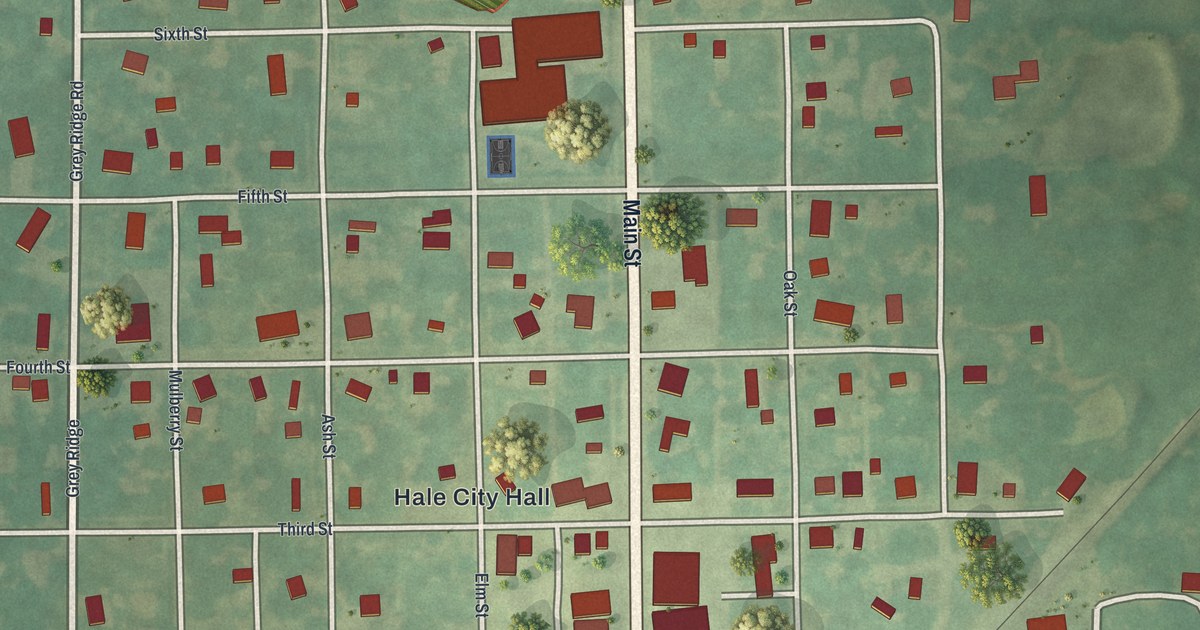
A detailed map of Hale, Missouri, showing every building in its true location, the roads by name, and shaded topographical relief.
Read More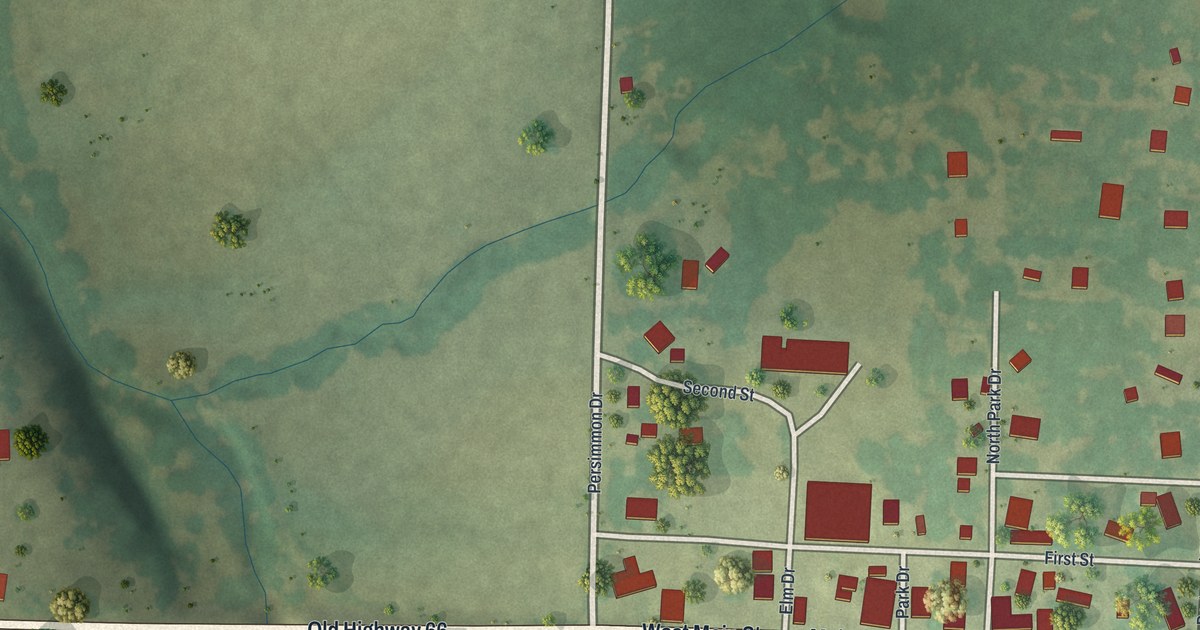
A detailed map of Halltown, Missouri, showing every building in its true location, the roads by name, and shaded topographical relief.
Read More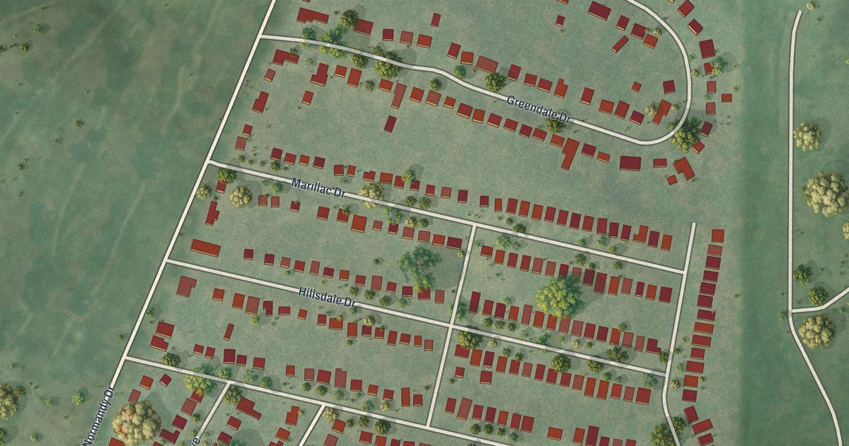
A detailed map of Greendale, Missouri, showing every building in its true location, the roads by name, and shaded topographical relief.
Read More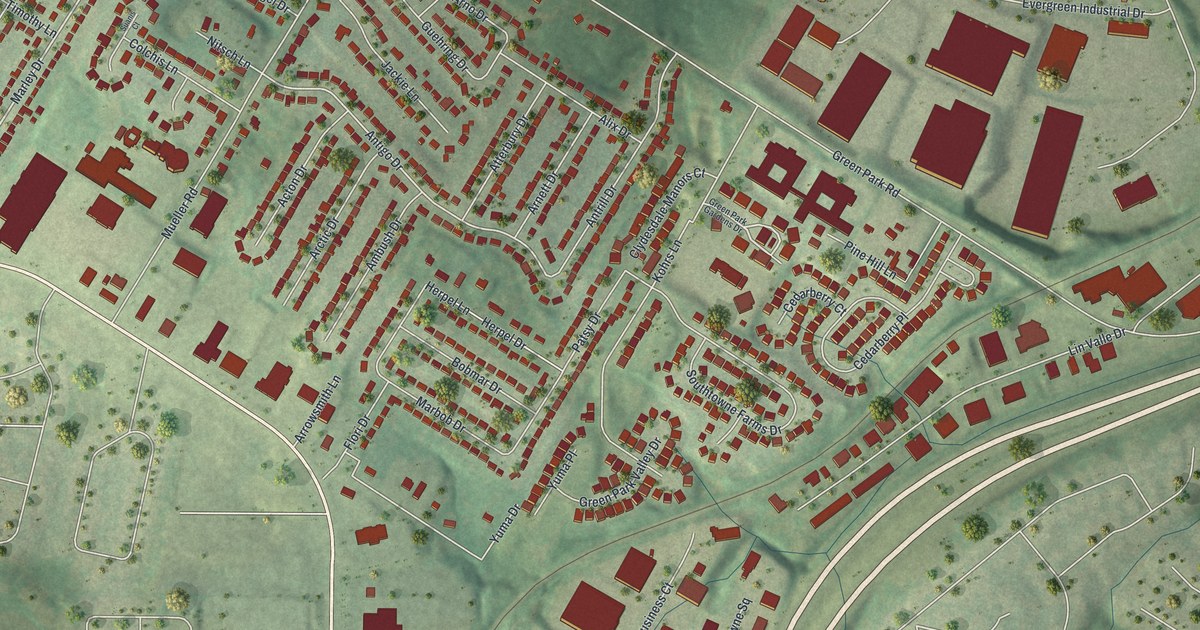
A detailed map of Green Park, Missouri, showing every building in its true location, the roads by name, and shaded topographical relief.
Read More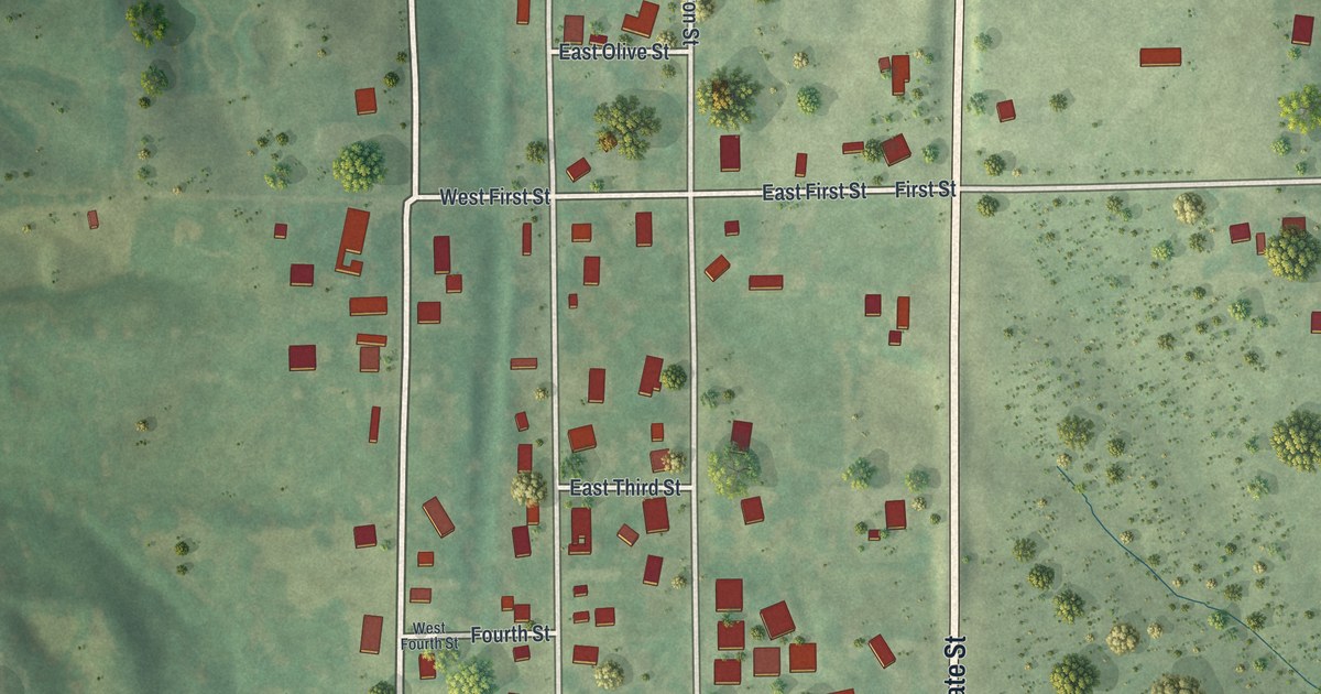
A detailed map of Greentop, Missouri, showing every building in its true location, the roads by name, and shaded topographical relief.
Read More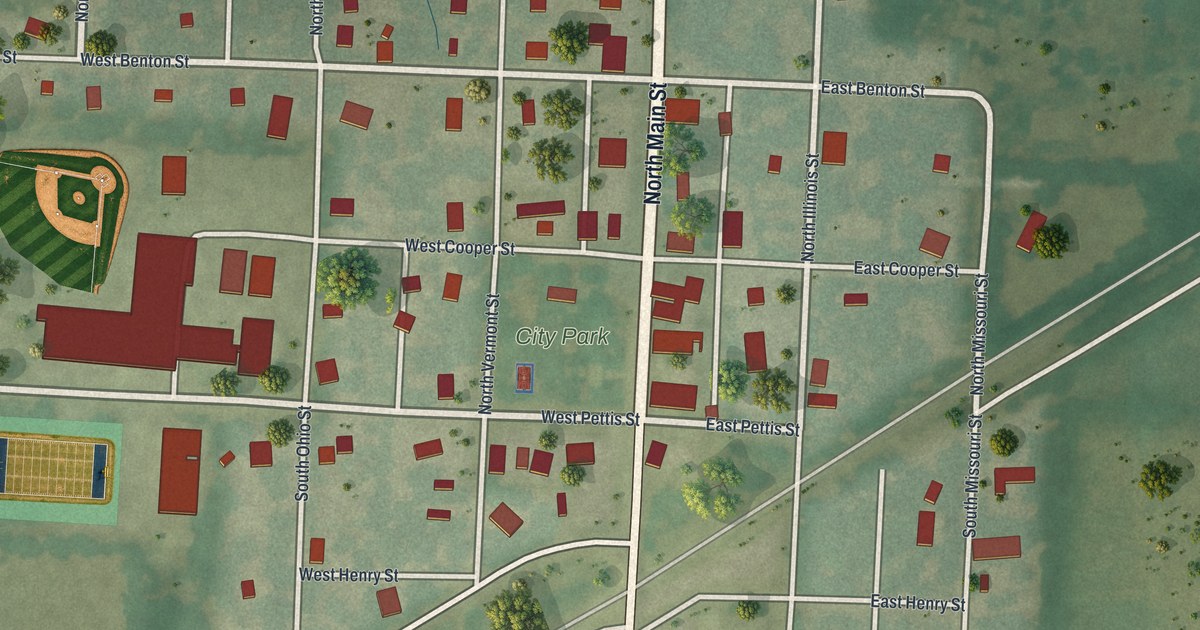
A detailed map of Green Ridge, Missouri, showing every building in its true location, the roads by name, and shaded topographical relief.
Read More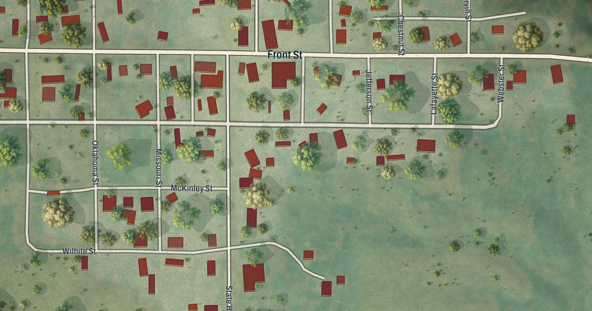
A detailed map of Green Castle, Missouri, showing every building in its true location, the roads by name, and shaded topographical relief.
Read More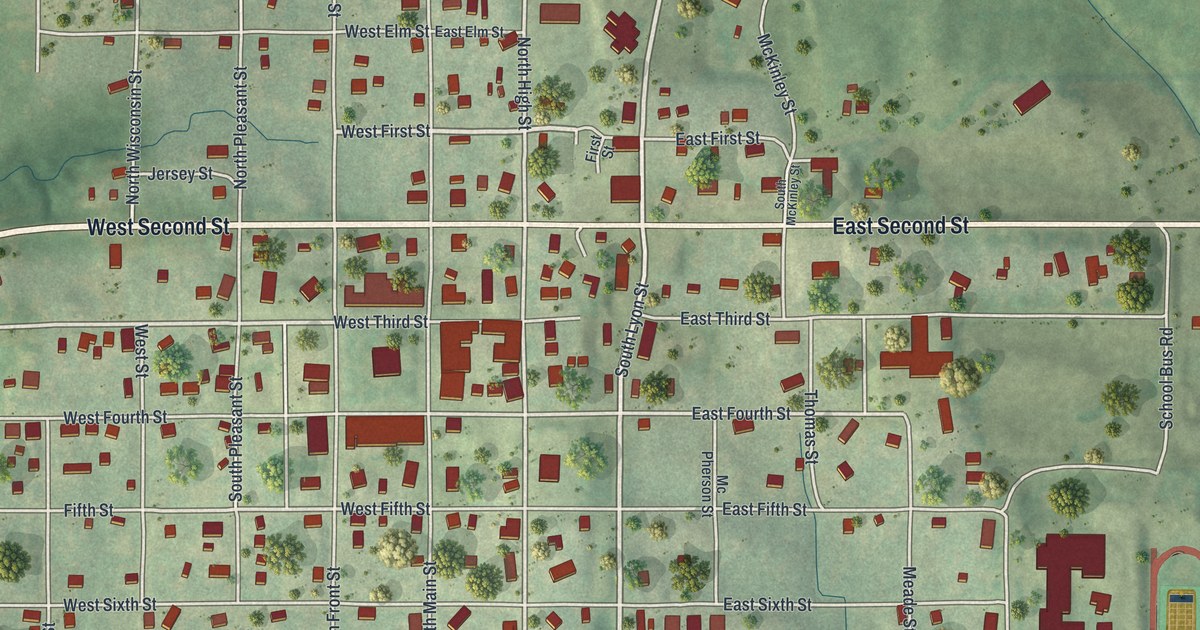
A detailed map of Grant City, Missouri, showing every building in its true location, the roads by name, and shaded topographical relief.
Read More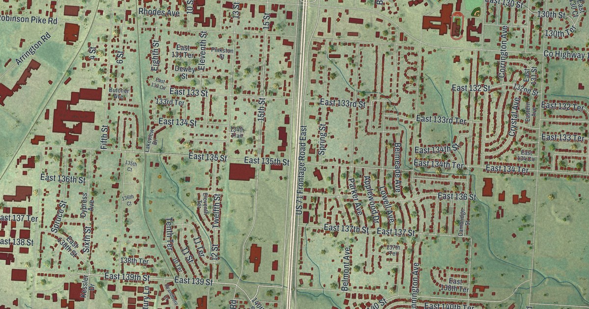
A detailed map of Grandview, Missouri, showing every building in its true location, the roads by name, and shaded topographical relief.
Read More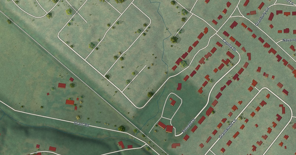
A detailed map of Grantwood Village, Missouri, showing every building in its true location, the roads by name, and shaded topographical relief.
Read More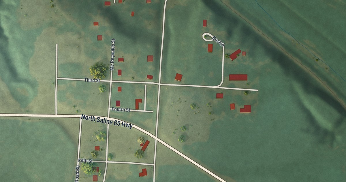
A detailed map of Grand Pass, Missouri, showing every building in its true location, the roads by name, and shaded topographical relief.
Read More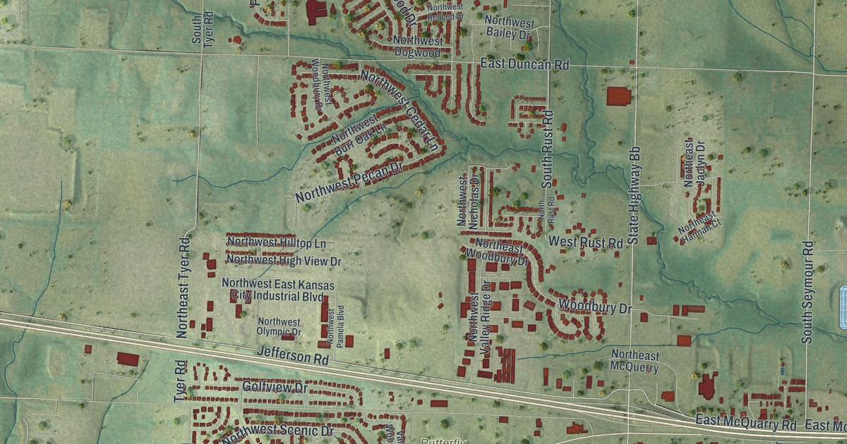
A detailed map of Grain Valley, Missouri, showing every building in its true location, the roads by name, and shaded topographical relief.
Read More