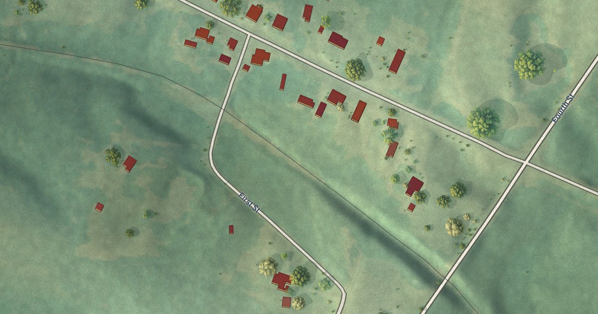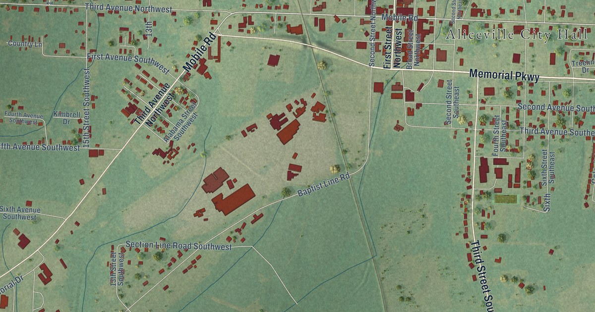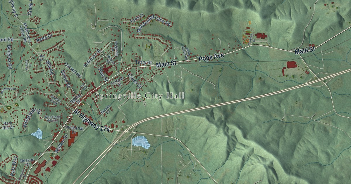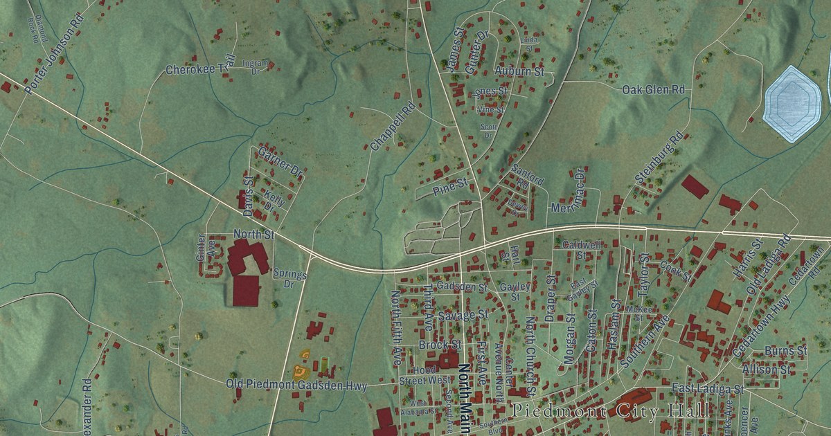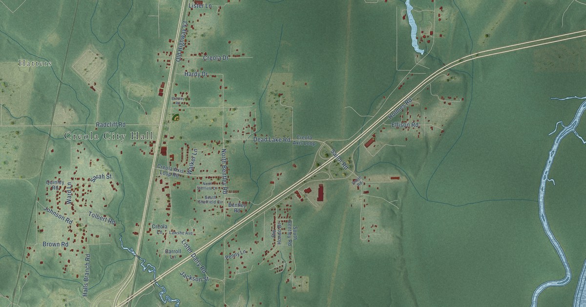
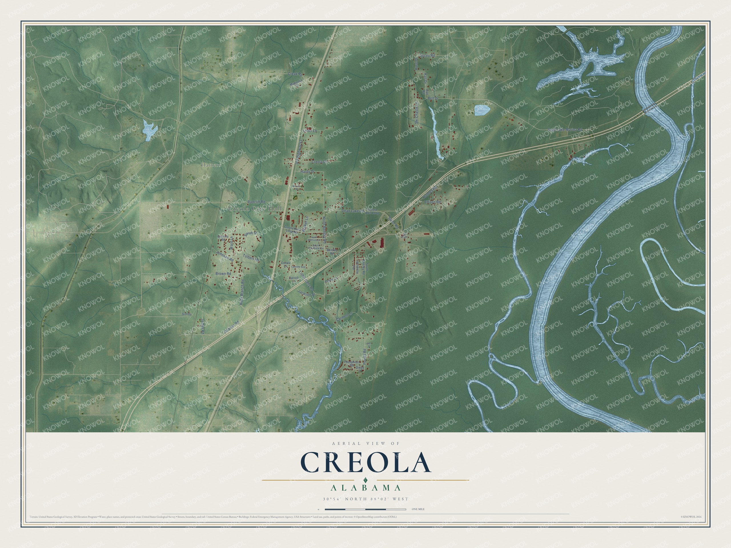
This beautifully detailed map of Creola, Alabama was created in 2026 using aerial imagery combined with modern topographical, census, street and landmark data. It's a modern aerial view of Creola in Mobile County, Alabama, that combines modern data with a vintage aesthetic. The roads feature printed names, and if you look closely you can find your exact house accurately shown in its correct location.
Explore an aerial view of Creola, Alabama
On this map you'll find Creola City Hall, Hatters, Bell Drive, Jackson Road, Hall Drive, Hurst Drive, Walker Lane, Dead Lake Road, Old Highway 43, Lister Dairy Road, Radcliff Road, Dead Lake Marina Road, and more. Each red shape is a building, so zoom in on the preview and look for yours.
Every town has a first chapter, and Creola is no exception. The record at encyclopediaofalabama.org puts it this way: "River Delta Marina and Campground Creola was named for the first settler in the area, who was Creole, a person of mixed European and African ancestry."
Creola is a town in Mobile County. The Census Bureau counted 1,936 people here in 2020.
Take a closer look at the Creola map
Names on this map
These names are printed on this map.
Places: Creola City Hall and Hatters.
Streets and roads: Bell Drive, Jackson Road, Hall Drive, Hurst Drive, Walker Lane, Dead Lake Road, Old Highway 43, Lister Dairy Road, Radcliff Road, Dead Lake Marina Road, Holmes Road, Sailor Road.
More street names, A to Z
Bentley Road, Bradley Road, Brown Road, Carmen Lane, Carroll Lane, Cile Street, Creax Road, Creola Axis Loop, Creola Axis Loop Road, Creola Drive, Creola Lane, Diego Drive, Ducey Road, Ellison Road, Gimley, Hall Road, Halls Branch Road, Hardy Drive, Jackson Street, James Road, Johnson Road, Lawshe Avenue, Lister Lane, Magnolia Court, North Bentley Road, North Sheffield Circle, Penny Lane, Powell Road, Quinley Road, Rio Hondo Drive, Sarah Street, Ski Chaste Lane, Smith Road, South Bentley Road, South Sheffield Circle, Theophilus Road, Tolbert Road, Ward Lane.
Created by KNOWOL in 2026. The buildings are small red shapes, the roads carry their printed names, and shaded relief shows the shape of the land. The title panel reads "AERIAL VIEW OF CREOLA ALABAMA" with 30°54' NORTH 88°02' WEST.
Hang it in the hallway, the office or the cabin, or give it to someone who left Creola and still calls it home. Open the preview and look for a street you know. See sizes and frames for the Creola map.