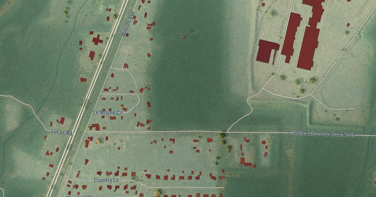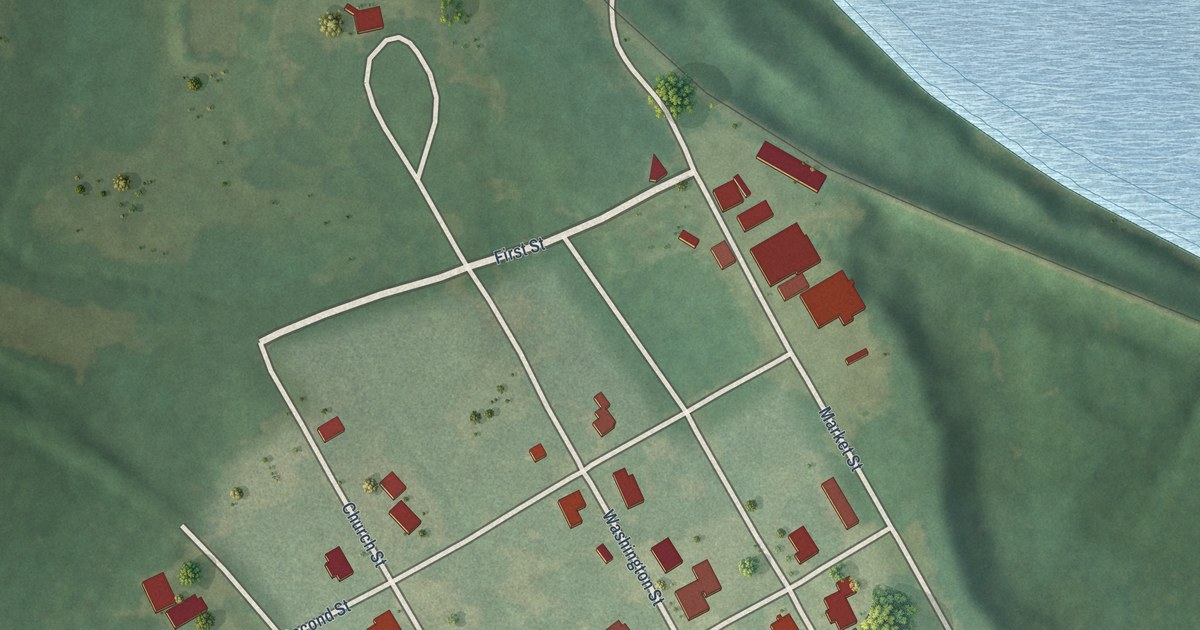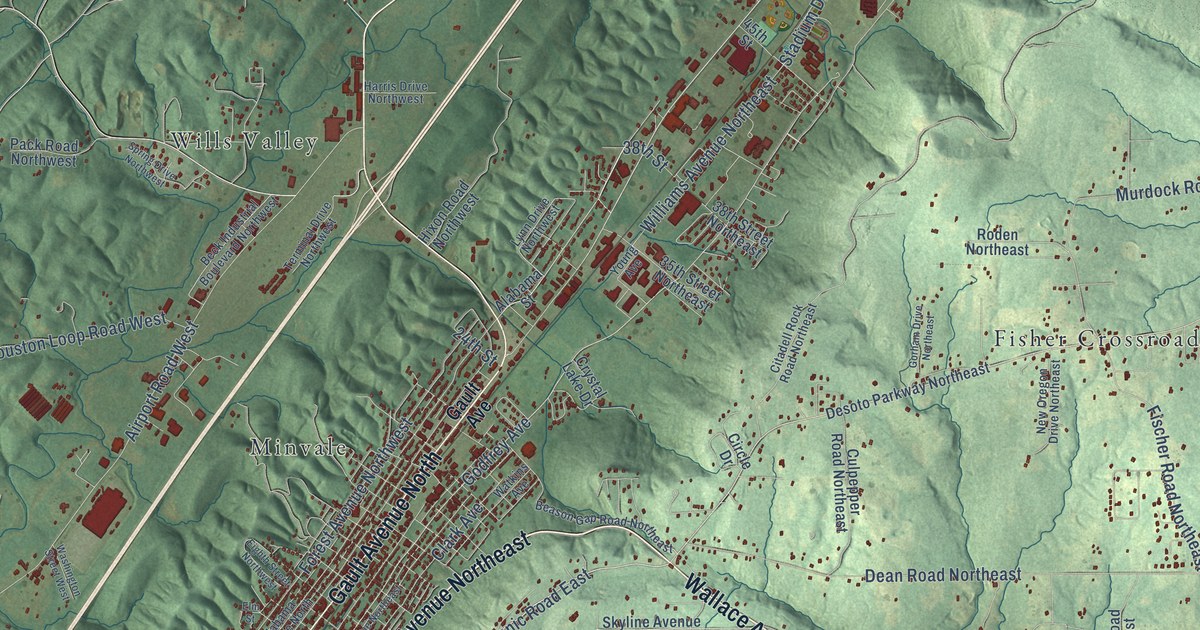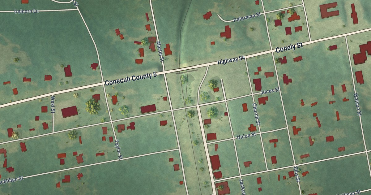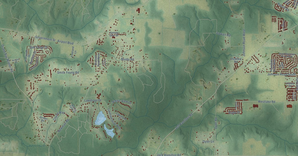
This beautifully detailed map of Dawes, Alabama was created in 2026 using aerial imagery combined with modern topographical, census, street and landmark data. It’s a one-of-a-kind view of Dawes that combines accurate data with a vintage aesthetic. The map shows every building in its true location, many of the roads carry their names, and the shaded topographic relief shows the shape of the land.
Explore an aerial view of Dawes, Alabama
On the map you’ll find Dawes Point, Cottage Park Estates, Alderbrook, and Seven Hills, along with Jeff Hamilton Road, Grand Bay Wilmer Road, Airport Boulevard, Reed Lane, Cottage Hill Road, Dawes Road, McFarland Road, Newman Road, and more. If you look closely you can even find your house accurately drawn in its correct location. Zoom in on the preview to look for yours.
Take a closer look at the Dawes map
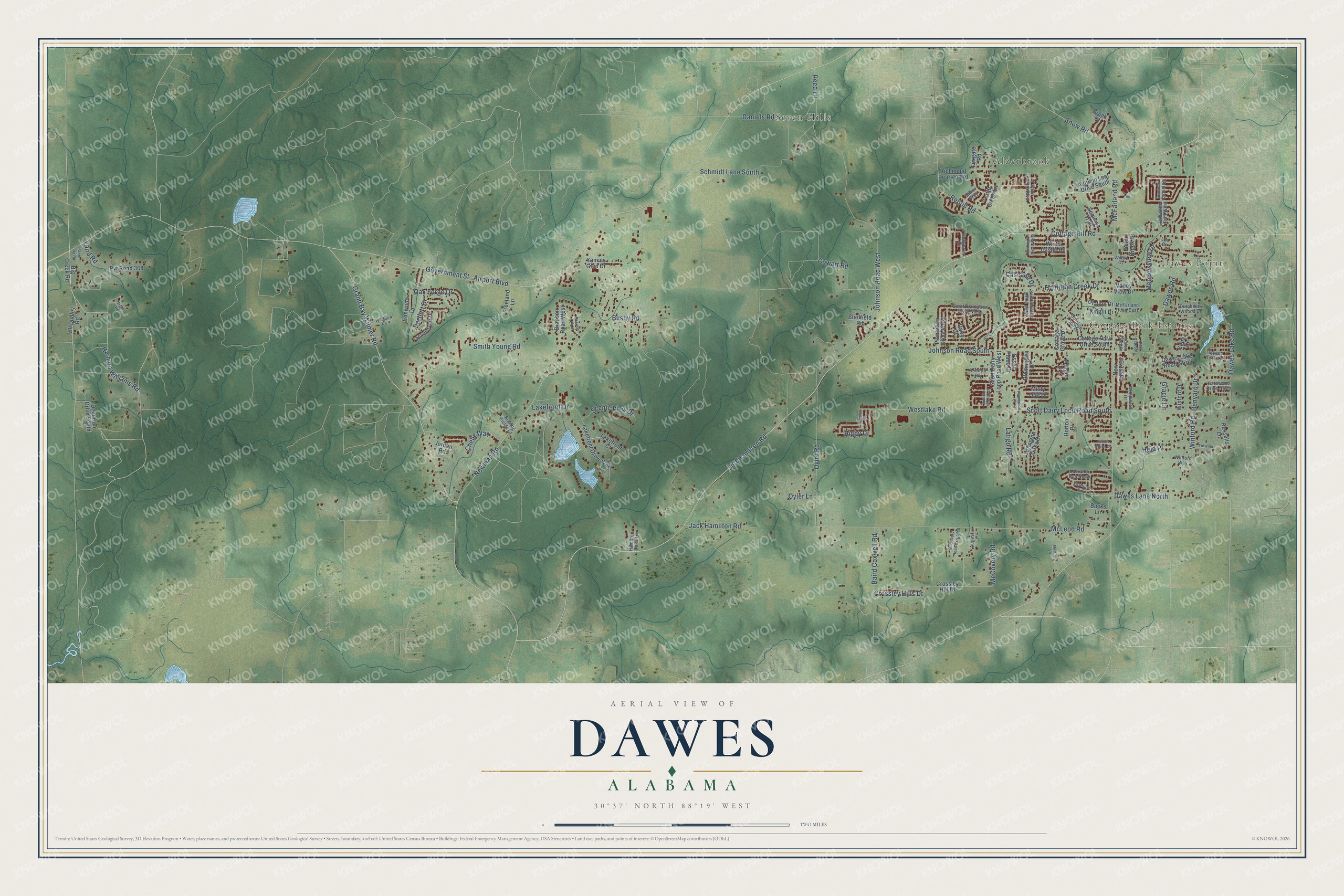
Names on this map
These names are printed on this map.
Places: Dawes Point, Cottage Park Estates, Alderbrook and Seven Hills.
Streets and roads: Jeff Hamilton Road, Grand Bay Wilmer Road, Airport Boulevard, Reed Lane, Cottage Hill Road, Dawes Road, McFarland Road, Newman Road, Johnson Road South, McLeod Road, Government Street, Johnson Road West.
More street names, A to Z
Arlington Oaks Drive, Augusta Lane, Autumn Leaf Drive South, Azalea Trace Drive, Baird Coxwell Road, Bartlett Drive, Benyard Drive, Big Creek Road, Blazing Fields Court, Blomington Drive, Bobwhite Trail West, Branson Pk Court, Branson Road West, Bucks Lane, Burlington Drive West, Busby Road, Cascade Drive, Cedar Court, Chelle Way, Cottage Grove Drive, Cottage Knoll Drive, Cottage Park Drive South, Country Road, Cowart Road, Creek Court, Crossley Hill Drive, Crossley Hills Drive, Dairy Court, Daniels Road, Dawes Lake Road, Dawes Lake Road North, Dawes Lane North, Dawes Trace Lane, Deer Run Drive South, Dutchman Woods Drive, Eli Dudley Road, Essex Place Drive, Field Brook Drive, Foxgate Road, Freeland Lane, Gatewood Drive North, Gracie Lane, Hamilton Creek Drive, Hamilton Oaks Lane, Harmon Williams Road, Hedgerow Drive, Heid Place, Horton Place, Ironwood Drive, Jack Hamilton Road, Jordan Road, Knight Drive, Knobbley Drive, Labrador Run North, Laird Road, Lakefront Court, Lakefront Drive, Lakefront Drive West, Latigo Road, Lea Court, McCovery Road, McCovery Road Extended, McFarland Road East, McRae Drive, Meadowview Drive, Milner Way, Misty Leaf Drive, Mizell Road, Murray Lane, New Castle Drive, Oak Forge Drive, Ofallon Drive, Olde Gate Road, Oyler Lane, Oyler Road, Pecan Grove Drive, Plantation Court, Plantation Drive West, Pvt Road 368, Repoll Road, Richmond Pearson Road, Rigby Drive, Russells Lane, Saddlebrook Drive West, Scarlett Oak Drive, Scenic View Drive, Schmidt Lane South, Scott Dairy Loop Road South, Scott Dairy Loop Road West, Scott Plantation Drive North, Sequoya Trail, Sheffield Road, Sir Brutus Run, Smith Young Road, Snow Road, State Line Road, Summer Crossing, Summer Woods Drive, Taylor Pointe Boulevard, Turtle Creek Lane, Tutwiler Lane, Valley Court, Valley View Drive, Westlake Road, White Castle Road, Williams Road, Winford Drive, Winford Road, Winford Way, Woodward Drive, Yancey Glen Drive.
See it on a wall
The Dawes map as a framed print. Swipe for more.


This beautifully detailed map of Dawes makes an attractive addition to your office, library, or den, and it can even be used to teach children the geography and history of the area. It also makes a great gift for anyone with Dawes roots. When you’re done exploring, click here to get your copy of the Dawes map.