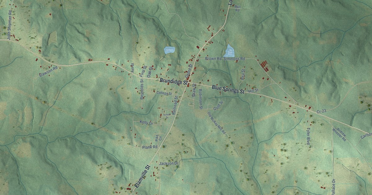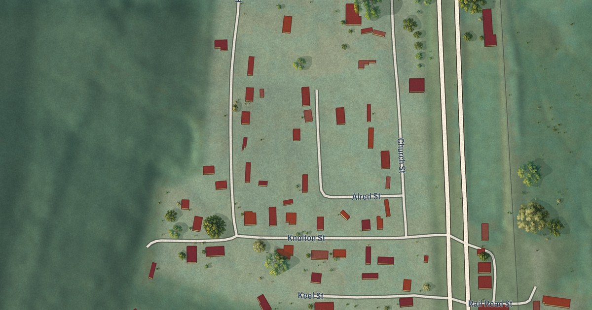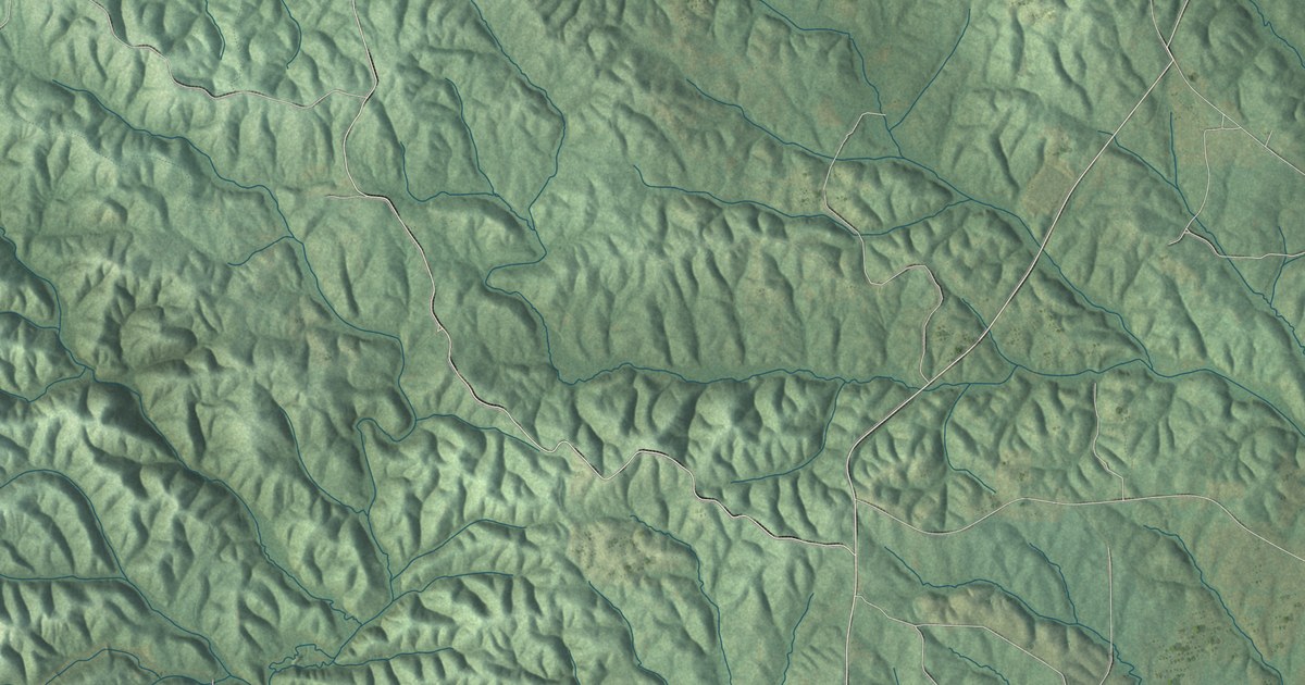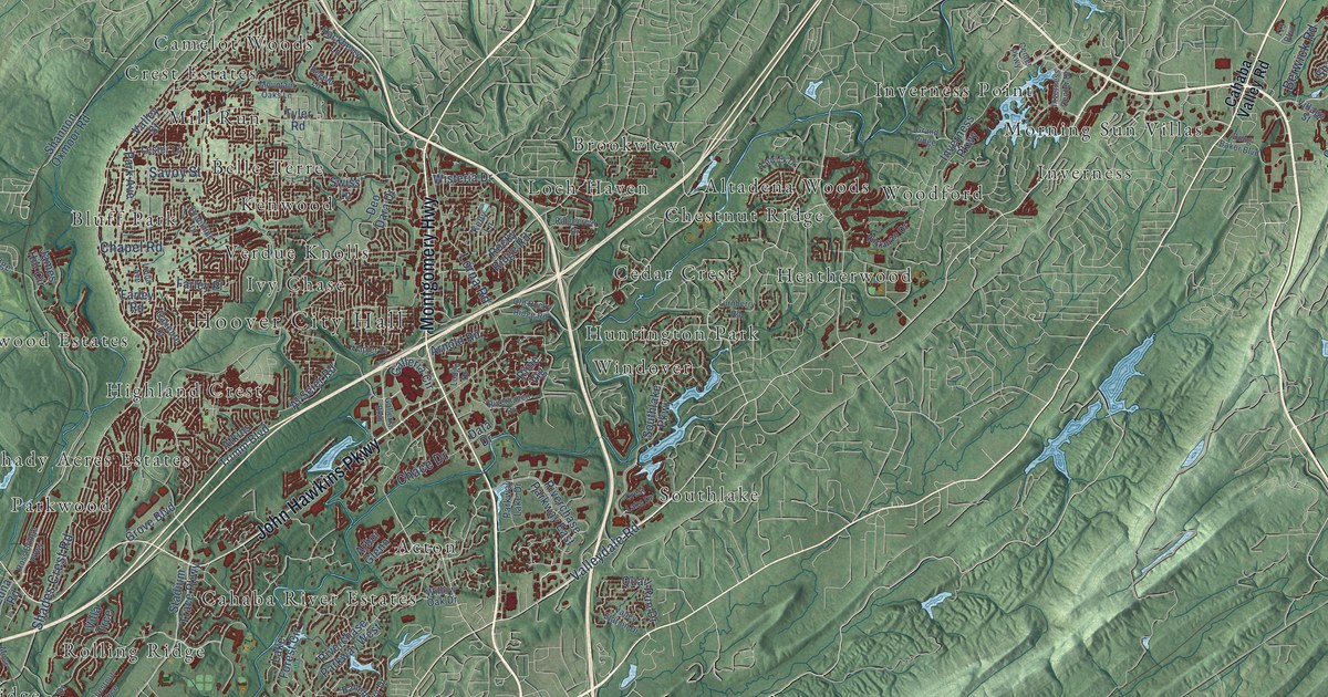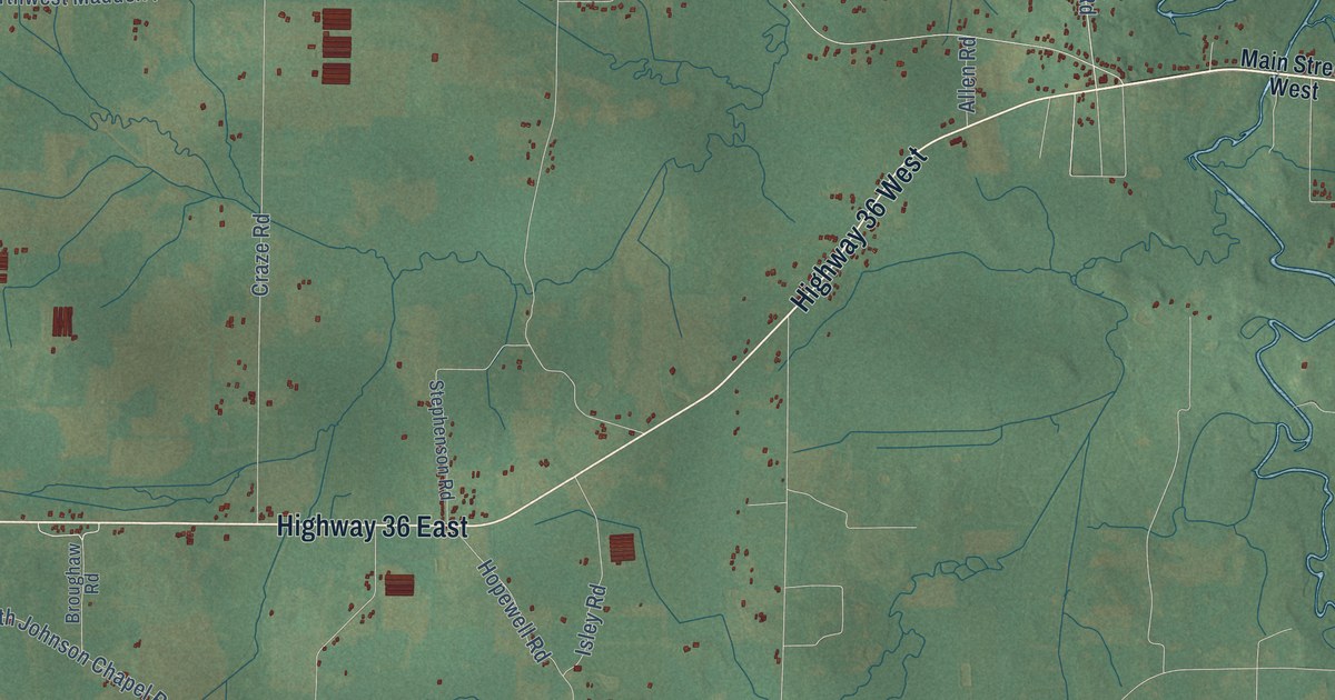
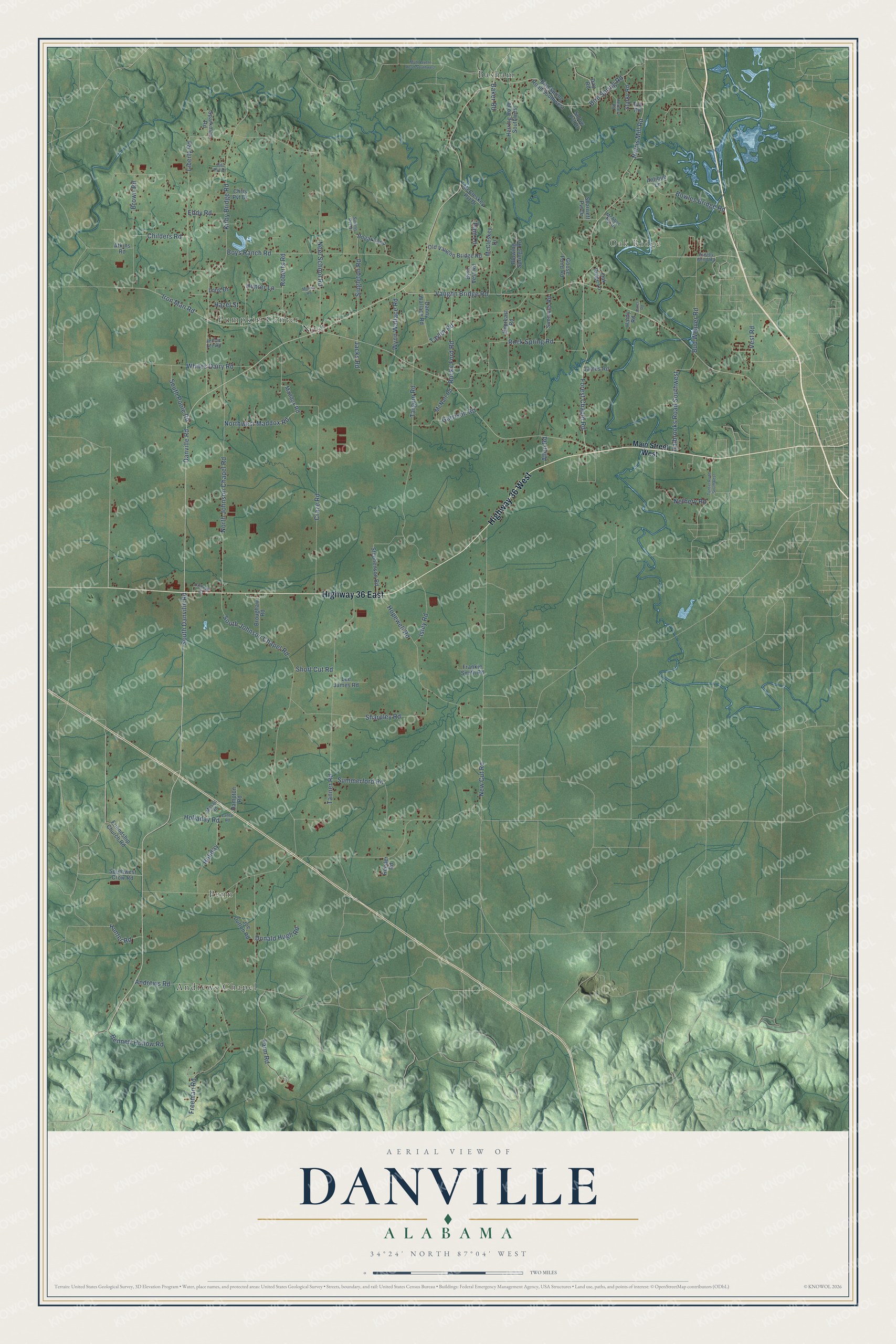
This beautifully detailed map of Danville, Alabama was created in 2026 using aerial imagery combined with modern topographical, census, street and landmark data. It’s a one-of-a-kind view of Danville that combines accurate data with a vintage aesthetic. The map shows every building in its true location, many of the roads carry their names, and the shaded topographic relief shows the shape of the land.
Explore an aerial view of Danville, Alabama
On the map you’ll find Oak Ridge, Andrews Chapel, Pumpkin Center, Basham, Penn, and Neel, along with Highway 36 East, Highway 36 West, South Danville Road, Norris Mill Road, Forest Chapel Road, Danville Road, and more. If you look closely you can even find your house accurately drawn in its correct location. Zoom in on the preview to look for yours.
Did You Know?
From Internet Archive: "When he left school, he settled in Danville, Morgan county, because it was nearer his work, where he has a nice comfortable home."
Danville is a community in Morgan County.
Take a closer look at the Danville map
Names on this map
These names are printed on this map.
Places: Oak Ridge, Andrews Chapel, Pumpkin Center, Basham, Penn and Neel.
Streets and roads: Highway 36 East, Highway 36 West, South Danville Road, Norris Mill Road, Forest Chapel Road, Danville Road, Vaughn Bridge Road, Iron Man Road, Kirby Bridge Road, South Johnson Chapel Road, Tanner Road, Neel School Road.
More street names, A to Z
Allen Road, Andrews Road, Antique Lane, Atkins Road, Ausley Bend Road, Baker Road, Bennett Hollow Road, Bird Spring Road, Bird Spring Road Southwest, Blowing Springs Road, Bogar Loop, Bowles Bridge Road, Boys Ranch Road, Broughaw Road, Brown Road, Bud Weaver Road, Byrd Vest Road, Childers Road, Chris Pvt Drive, College Street, Craze Road, Danny Wallace Road, Day Road, Depreast Road, Donald Hugh Road, Eddy Road, Farm Road, Frankie Smith Road, Freeman Road, Friendship Church Road, Garrison Road, Goose Pond Road, Halbrooks Road Southwest, Hampton Road, Hardy Road, Hazel Street, Herbert Road, Herring Road Southwest, Hill Pvt Drive, Holiday, Holladay Road, Hopewell Road, Hunter Lane, Hunter Road, Isley Road, Jacks Road, James Road, Jennie Lee Road, Joe Dutton Road, Jones Road, Laney Road, Lee James Road, Liberty Road, Long Drive, Maddox Road, Main Street West, McAbee Pvt Drive, McCleskey Drive, McCleskey Pvt Drive, McNutt Road, Milsap Road, Morris Road, Mud Tavern Road Southwest, Nethery Road, New Cut Road, North Johnson Chapel Road, Northwest Maddox Road, Oak Ridge Lane, Old Vaughn Bridge Road, Pam Lane, Reeder Road, Roberts Road, Rock Spring Road, Rocky Ford Road, Sharpley Road, Sharriett Pvt Drive, Short Cut Road, Simmons Road, Simms Pvt Drive, Singleton Road, Solow Pvt Drive, South Poole Road, Southwest Crow Road, Sparkman Road, Starky Road, Stephenson Road, Summerford Road, Targum Road, Taylor Road, Tunsel Road Southwest, Tva Road, Vest Road, Whites Dairy Road, Wynn Wallace Road.
See it on a wall
The Danville map as a framed print. Swipe for more.


This beautifully detailed map of Danville makes an attractive addition to your office, library, or den, and it can even be used to teach children the geography and history of the area. It also makes a great gift for someone who left Danville and still calls it home. When you’re done exploring, click here to get your copy of the Danville map.