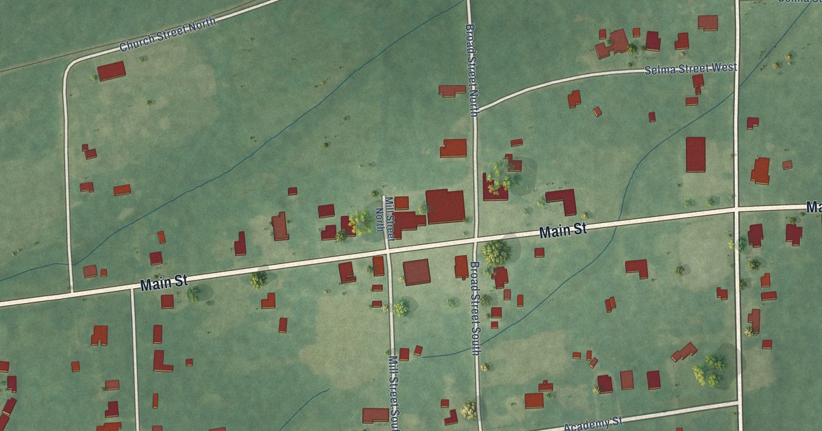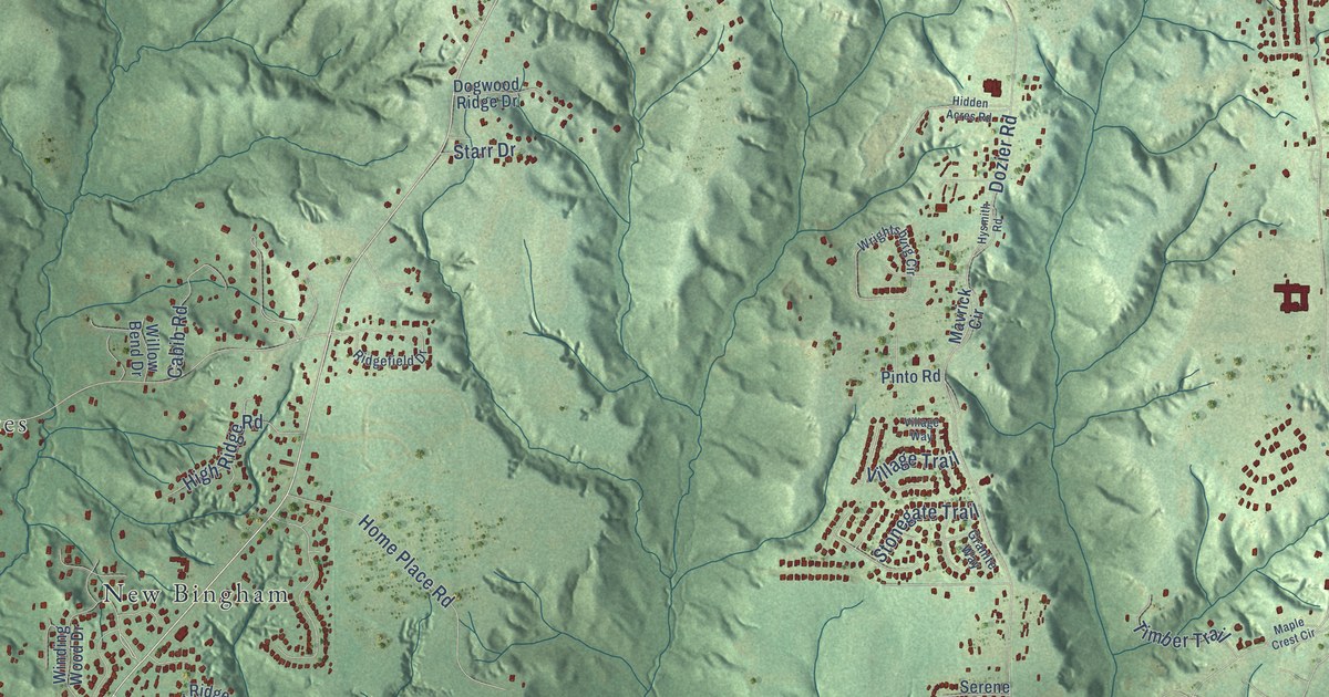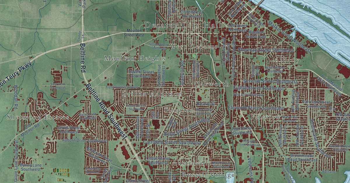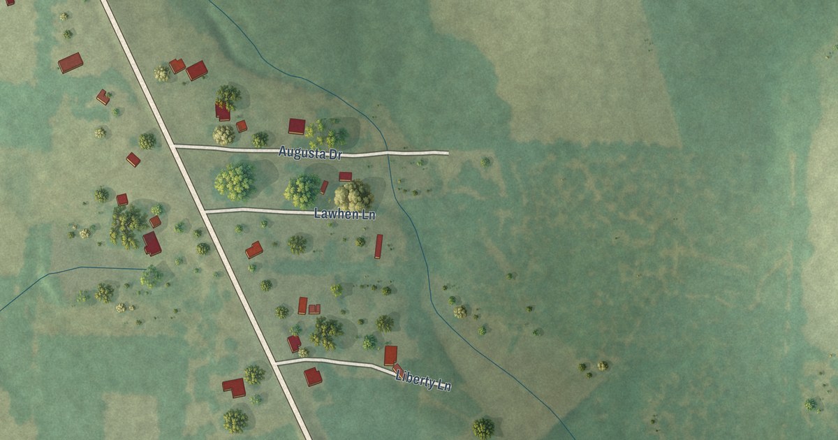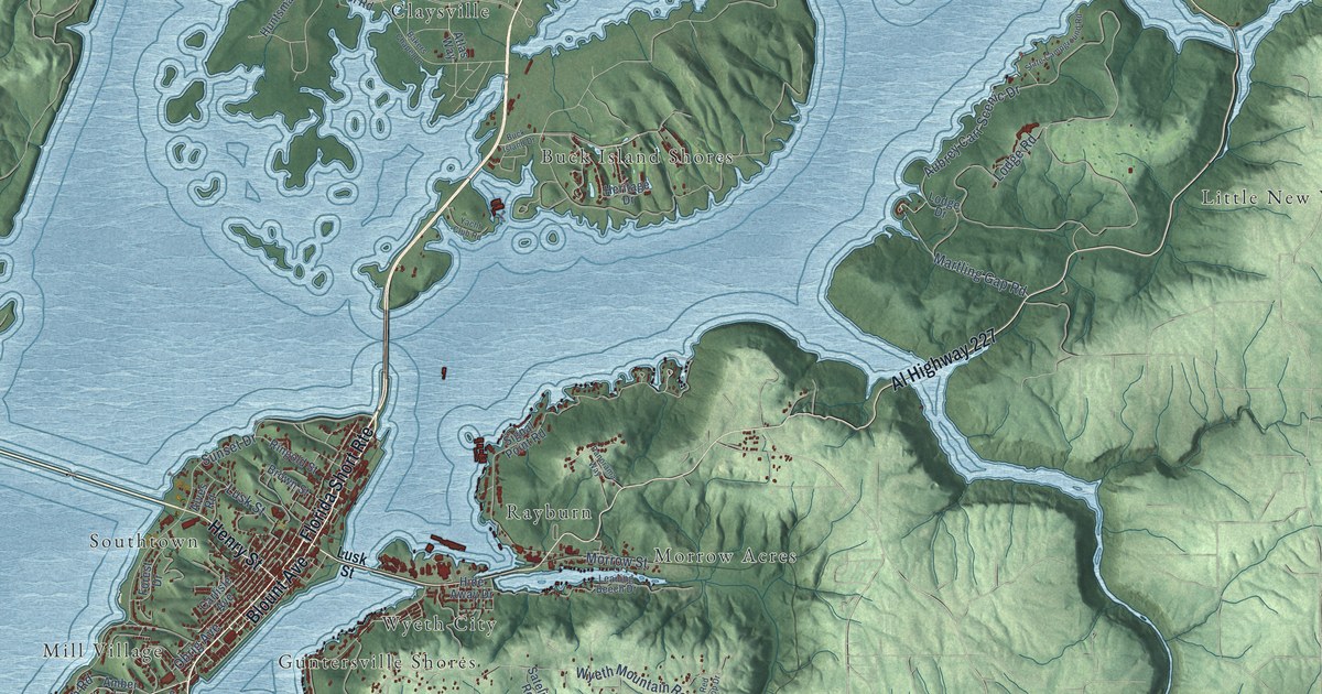
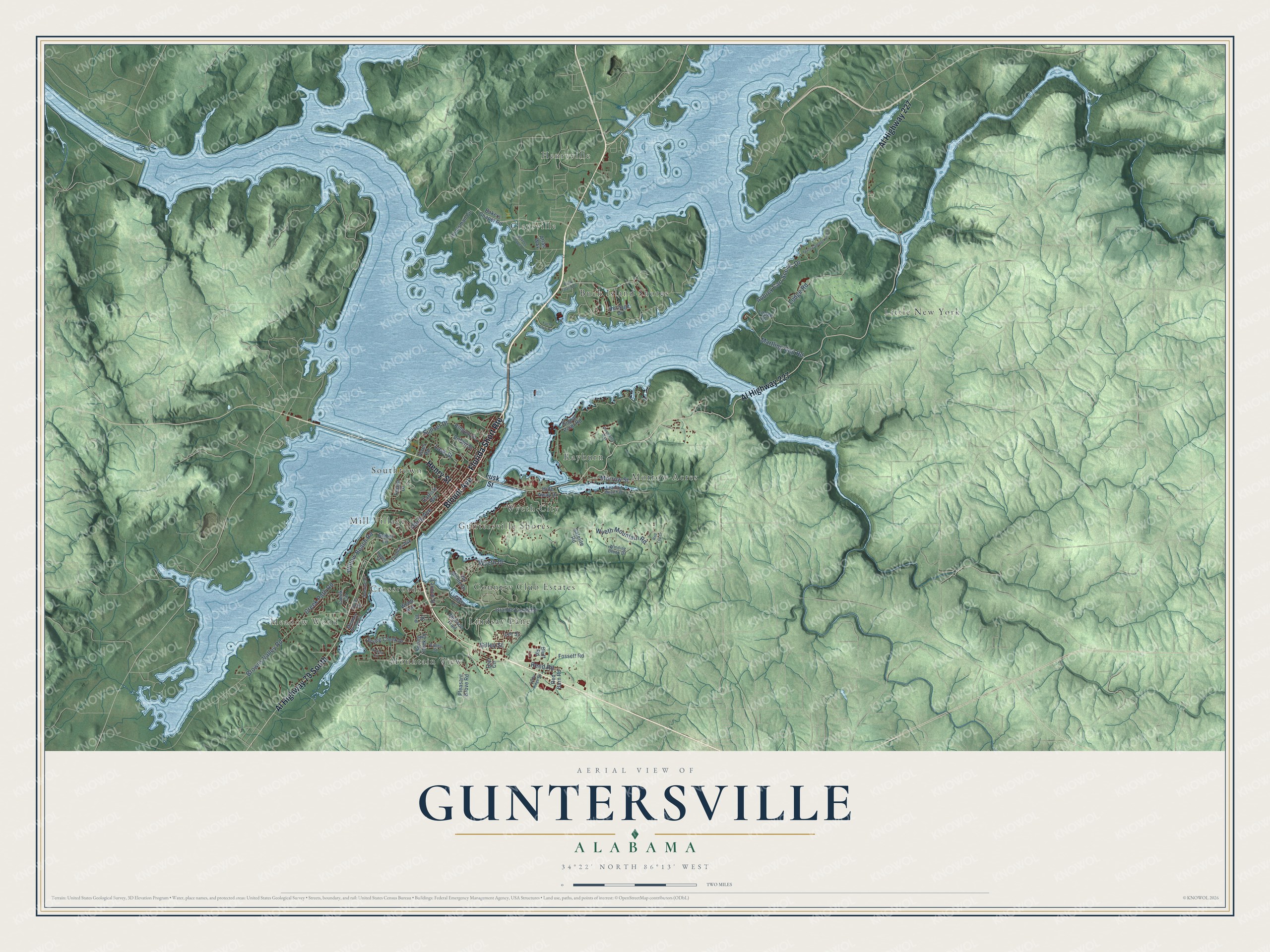
This beautifully detailed map of Guntersville, Alabama was created in 2026 using aerial imagery combined with modern topographical, census, street and landmark data. It's a modern aerial view of Guntersville in Marshall County, Alabama, that combines modern data with a vintage aesthetic. The roads feature printed names, and if you look closely you can find your exact house accurately shown in its correct location.
Explore an aerial view of Guntersville, Alabama
On this map you'll find Meadow Wood, Buck Island Shores, Claysville, Country Club Estates, Crossroads, Guntersville Shores, Henryville, Lindsay Lane, Little New York, Mill Village, Morrow Acres, Mountain View, and more. Each red shape is a building, so zoom in on the preview and look for yours.
Every town has a first chapter, and Guntersville is no exception. The Encyclopedia of Alabama puts it this way: "Guntersville's name derives from John Gunter, one of the first European settlers in the area, who arrived in 1785 and married a Cherokee woman. Gunter also was the great-grandfather of humorist Will Rogers."
Guntersville is a city in Marshall County. The Census Bureau counted 8,553 people here in 2020.
Take a closer look at the Guntersville map
Names on this map
These names are printed on this map.
Places: Meadow Wood, Buck Island Shores, Claysville, Country Club Estates, Crossroads, Guntersville Shores, Henryville, Lindsay Lane, Little New York, Mill Village, Morrow Acres, Mountain View, Rayburn, Southtown and Wyeth City.
Streets and roads: Florida Short Route, Blount Avenue, Al Highway 227, Al Highway 79 South, Henry Street, Reed Road, Aubrey Carr Scenic Drive, Lodge Road, Lusk Street, Martling Gap Road, Wyeth Drive, Wyeth Mountain Road.
More street names, A to Z
Alves Road, Amber Lane, Atlas Way, Azalea Circle, Bakers Chapel Lane, Bakers Chapel Road, Bluff Road, Brown Street, Browns Valley Road, Buck Island Drive, Carlisle Avenue, Cedar Ridge Road, Creek Circle, Creek Path Road, Forest Drive, Fossett Road, Gilley Street, Grande Corniche, Heritage Drive, Hide Away Drive, Huntsman Circle, Jackson Trail, Launch Street, Leaning Beech Drive, Lee Street, Lindsey Lane, Lodge Drive, Luther Street, Meadow Wood Circle, Morrow Street, Obrig Avenue, Panorama Way, Pitt Street, Pleasant Grove Road, Red Barn Road, Red Top Drive, Ringold Street, Satelite Road, Signal Point Road, Sorter Drive, Spring Creek Drive, Spring Cteek Drive, State Campground Road, Sunrise Drive, Sunset Drive, Teal Circle, Thomas Avenue, Valley Street, Val Monte Drive, Webb Avenue, Willow Beach Road, Winding Brook Drive, Yacht Club Road.
See it on a wall
The Guntersville map as a framed print. Swipe for more.


Created by KNOWOL in 2026. The buildings are small red shapes, the roads carry their printed names, and shaded relief shows the shape of the land. The title panel reads "AERIAL VIEW OF GUNTERSVILLE, ALABAMA" with 34°22' NORTH 86°13' WEST.
Hang it in the hallway, the office or the cabin, or give it to someone who left Guntersville and still calls it home. Open the preview and look for a street you know. See sizes and frames for the Guntersville map.