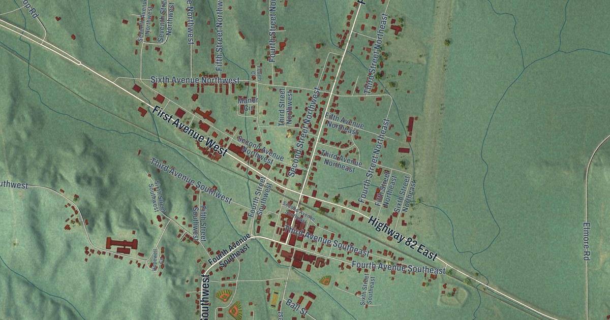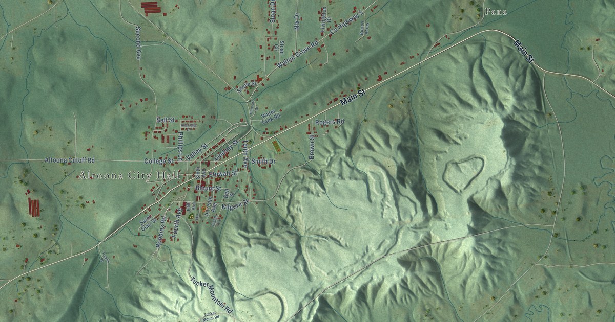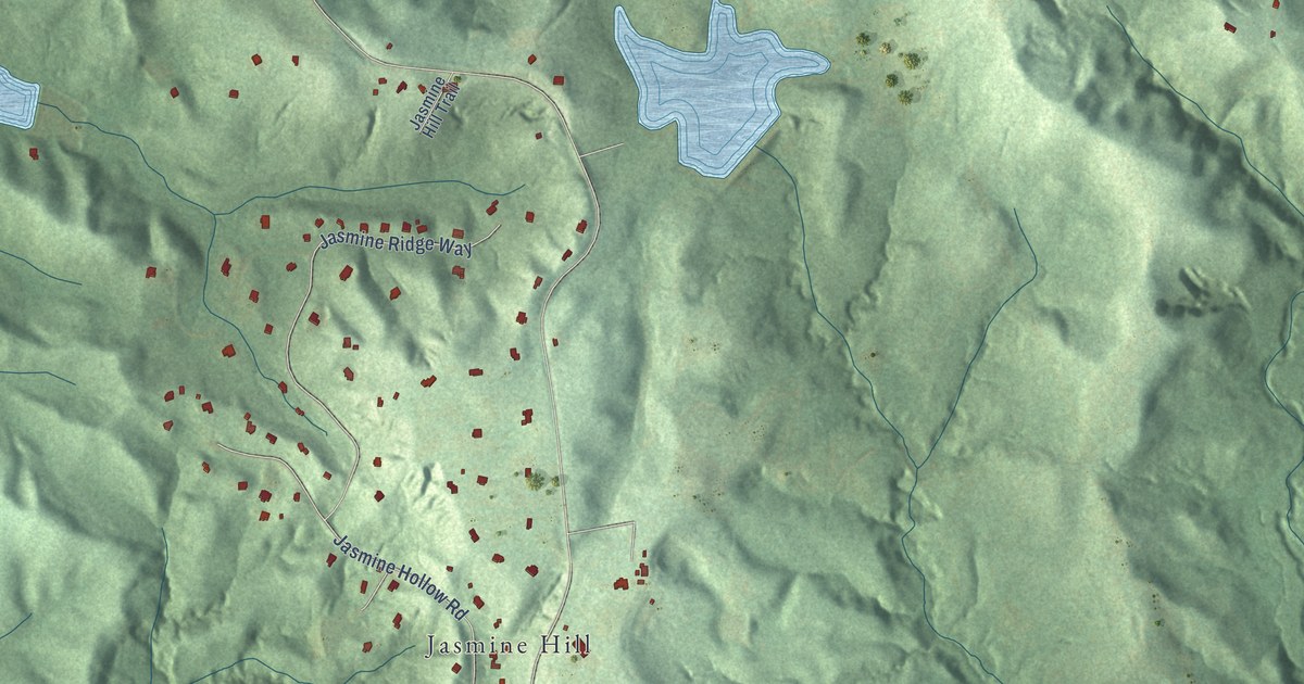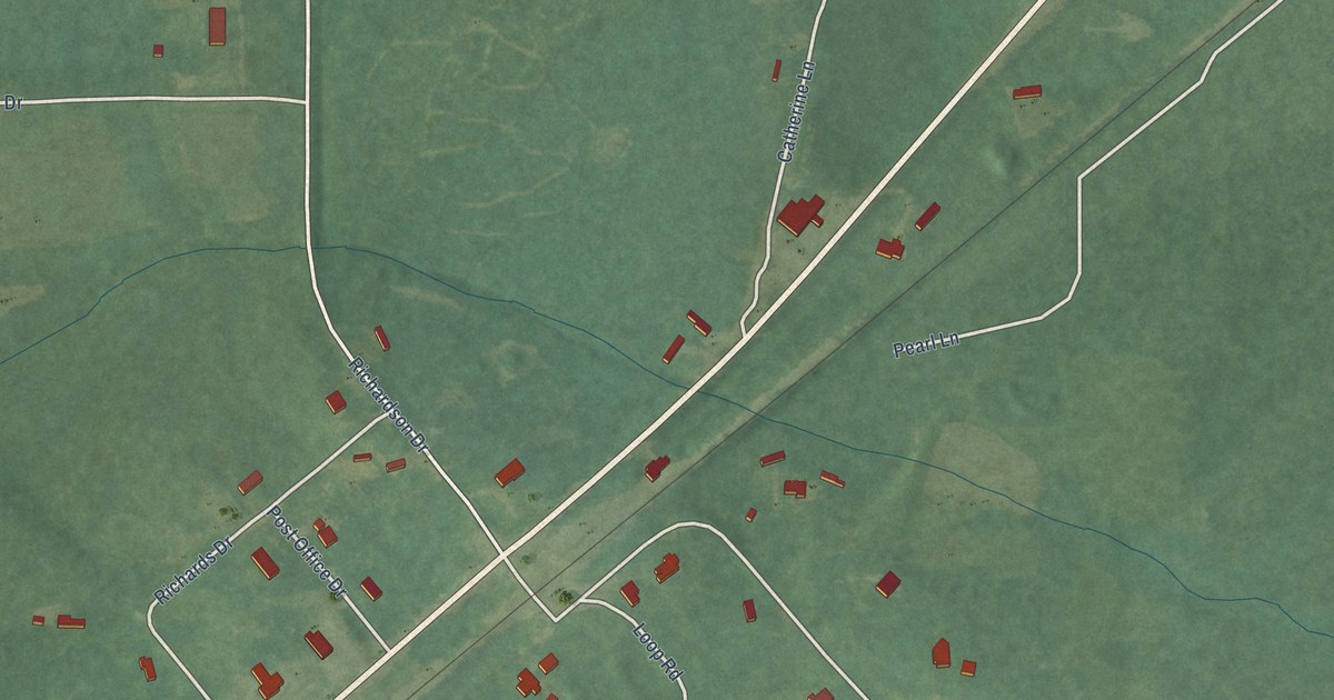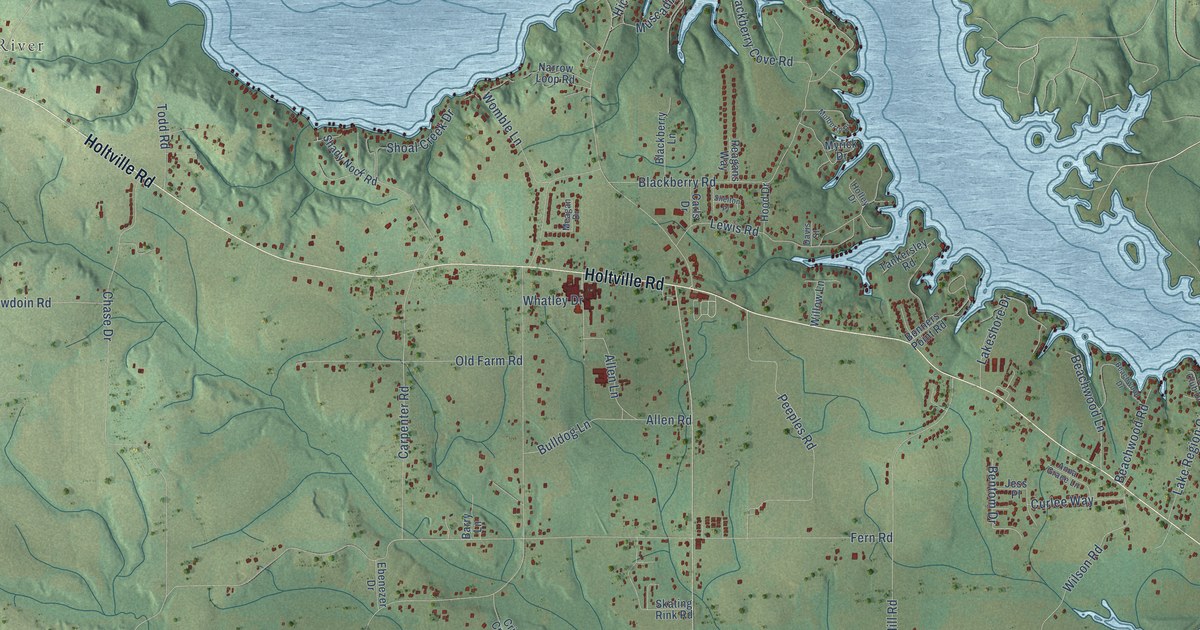
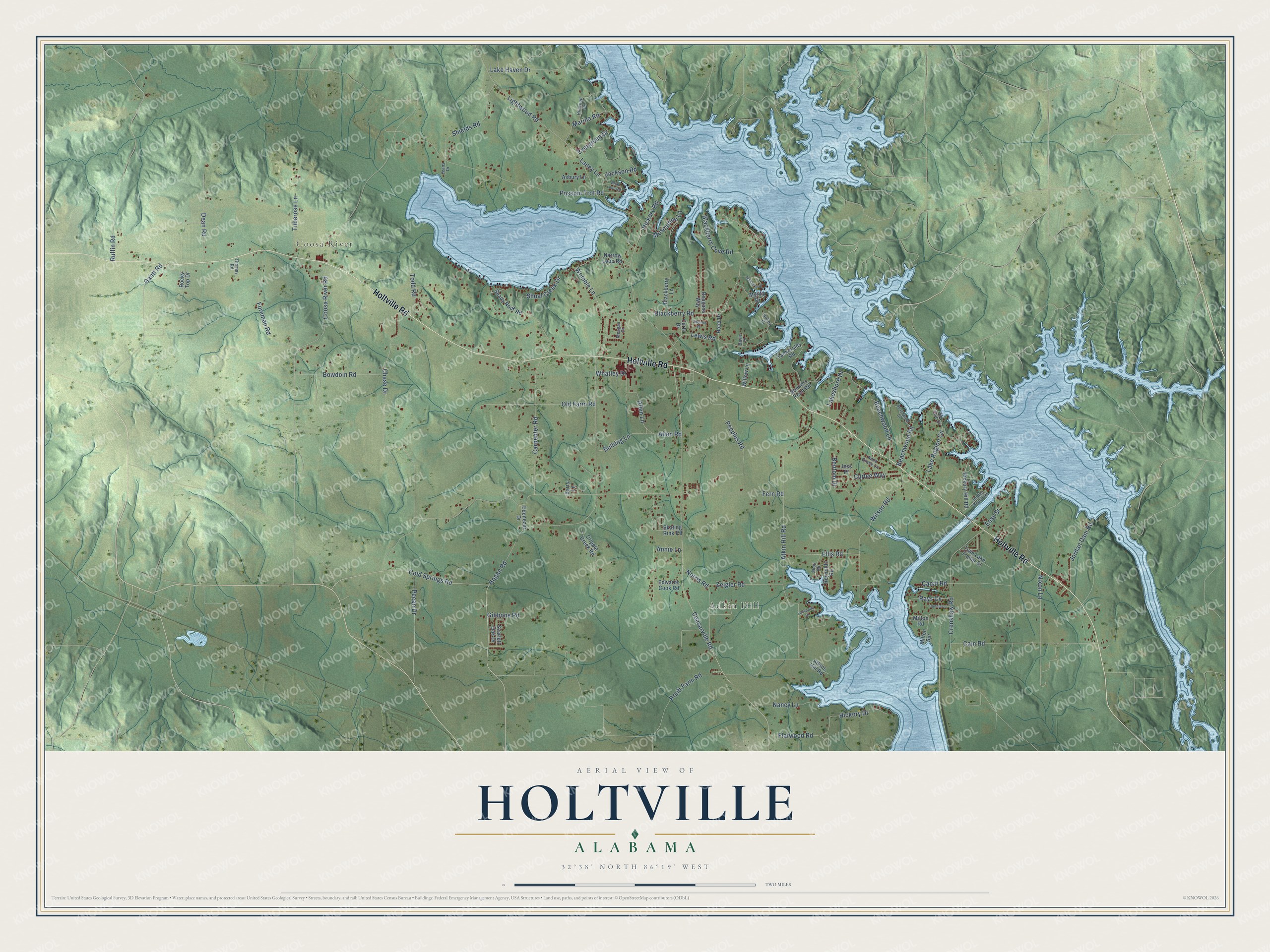
This beautifully detailed map of Holtville, Alabama was created in 2026 using aerial imagery combined with modern topographical, census, street and landmark data. It's a modern aerial view of Holtville in Elmore County, Alabama, that combines modern data with a vintage aesthetic. The roads feature printed names, and if you look closely you can find your exact house accurately shown in its correct location.
Explore an aerial view of Holtville, Alabama
On this map you'll find Coosa River, Adkin Hill, Holtville Road, Blackberry Road, Hogan Road, Ceasarville Road, Lightwood Road, Atkin Hill Road, Carpenter Road, Coosa River Road, Fern Road, Chase Drive, and more. Each red shape is a building, so zoom in on the preview and look for yours.
Holtville has a story worth telling. The Holtville Consolidated School set out to improve living conditions in its rural community. At one time it ran a meat and vegetable cannery, a cold-storage plant, a 20-acre farm, a dental clinic, a tree nursery and a chick hatchery, and in one sample year its meat plant served 205 families. To pay for the cannery, a local farmer mortgaged his land for a loan of 7,500 dollars, and the school paid it back at 1,000 dollars a year. That's from the book A Sociological Approach to Education.
Holtville is a community in Elmore County. The Census Bureau counted 4,940 people here in 2020.
Take a closer look at the Holtville map
Names on this map
These names are printed on this map.
Places: Coosa River and Adkin Hill.
Streets and roads: Holtville Road, Blackberry Road, Hogan Road, Ceasarville Road, Lightwood Road, Atkin Hill Road, Carpenter Road, Coosa River Road, Fern Road, Chase Drive, Possum Trot Road, Ruffin Road.
More street names, A to Z
Allen Lane, Allen Road, Anna Grace Lane, Annie Lane, Asbury Lane, Atkins Hill Road, Barry Lane, Beachwood Drive, Beachwood Lane, Beachwood Road, Bentom Drive, Blackberry Cove Road, Blackberry Lane, Bonners Point Road, Bonnie Lane, Bowdoin Road, Briar Loop Road, Bulldog Lane, Cain Road, Canal Road, Carls Drive, Cold Springs Road, Crenshaw Road, Cripple Creek Road, Curlee Way, Davis Street, Dean Road, Easy Street, Ebenezer Drive, Edwards Cook Road, Ellis Road, Evergreen Drive, Flatwood Road, Foreman Road, Gantt Road, Gibbons Road, Hickory Drive, Hickory Hill Road, Hickory Road, Hillwood Drive, Holley Drive, Hood Drive, Jackson Road, Jeans Drive, Jess Place, Jordan Beach Road, Jordan Dam Road, Lake Haven Drive, Lakepoint Drive, Lake Region Circle, Lakeshore Drive, Laney Lane, Lewis Road, Marina Road, Meagan Drive, Milton Road, Milton Spr, Mulberry Drive, Muscadine Lane, Myrick Drive, Nancy Lane, Narrow Loop Road, Nixon Lane, Norris Road, Old Farm Road, Pecan Drive, Peeples Road, Pruitt Farm Road, Rays Cv, Reagans Way, Reynolds Road, Rocky Top Drive, Scarlett Oak Drive, Shady Nook Road, Shelton Place, Shields Road, Shoal Creek Drive, Shull Road, Skating Rink Road, Ski Club Drive, Tankersley Road, Thomas Road, Todd Road, Tuberose Lane, Twin Lake Trailer Court, Whatley Drive, Willow Lane, Wilson Road, Womble Lane, Zeigler Road.
See it on a wall
The Holtville map as a framed print. Swipe for more.


Created by KNOWOL in 2026. The buildings are small red shapes, the roads carry their printed names, and shaded relief shows the shape of the land. The title panel reads "AERIAL VIEW OF HOLTVILLE, ALABAMA" with 32°38' NORTH 86°19' WEST.
It looks right in a kitchen, an office or a den, and it's a gift for anyone who grew up in Holtville or moved away. Open the preview and find your street. See sizes and frames for the Holtville map.