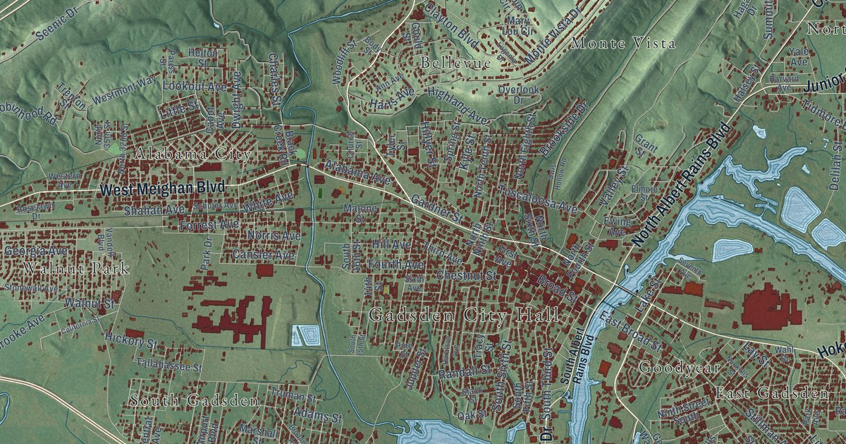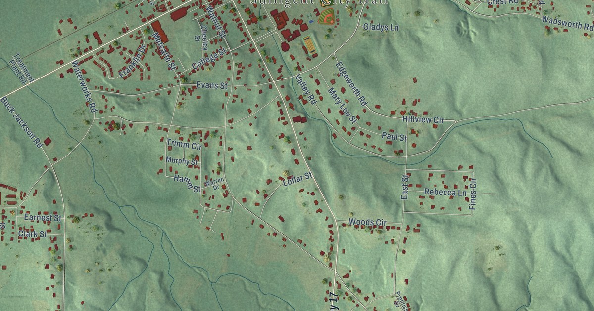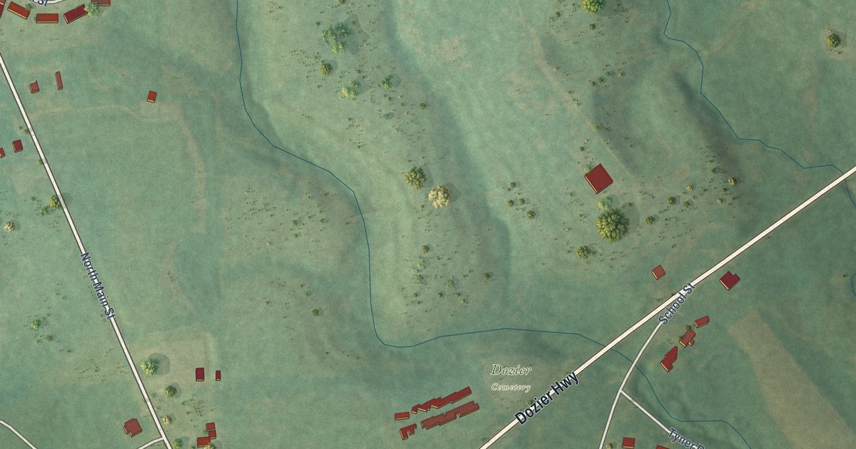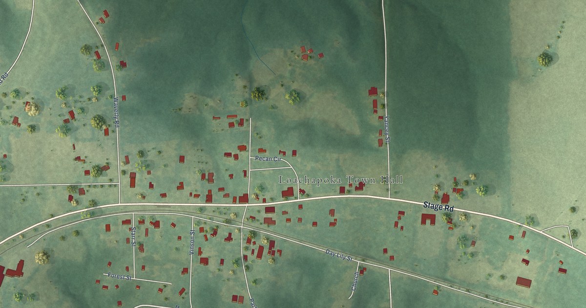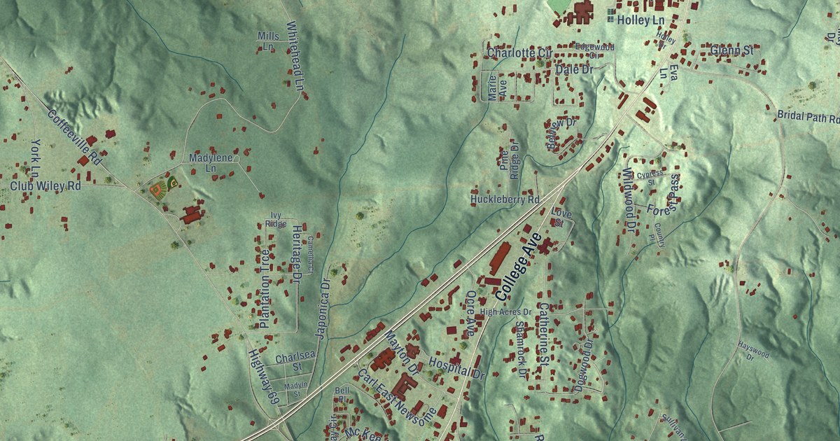
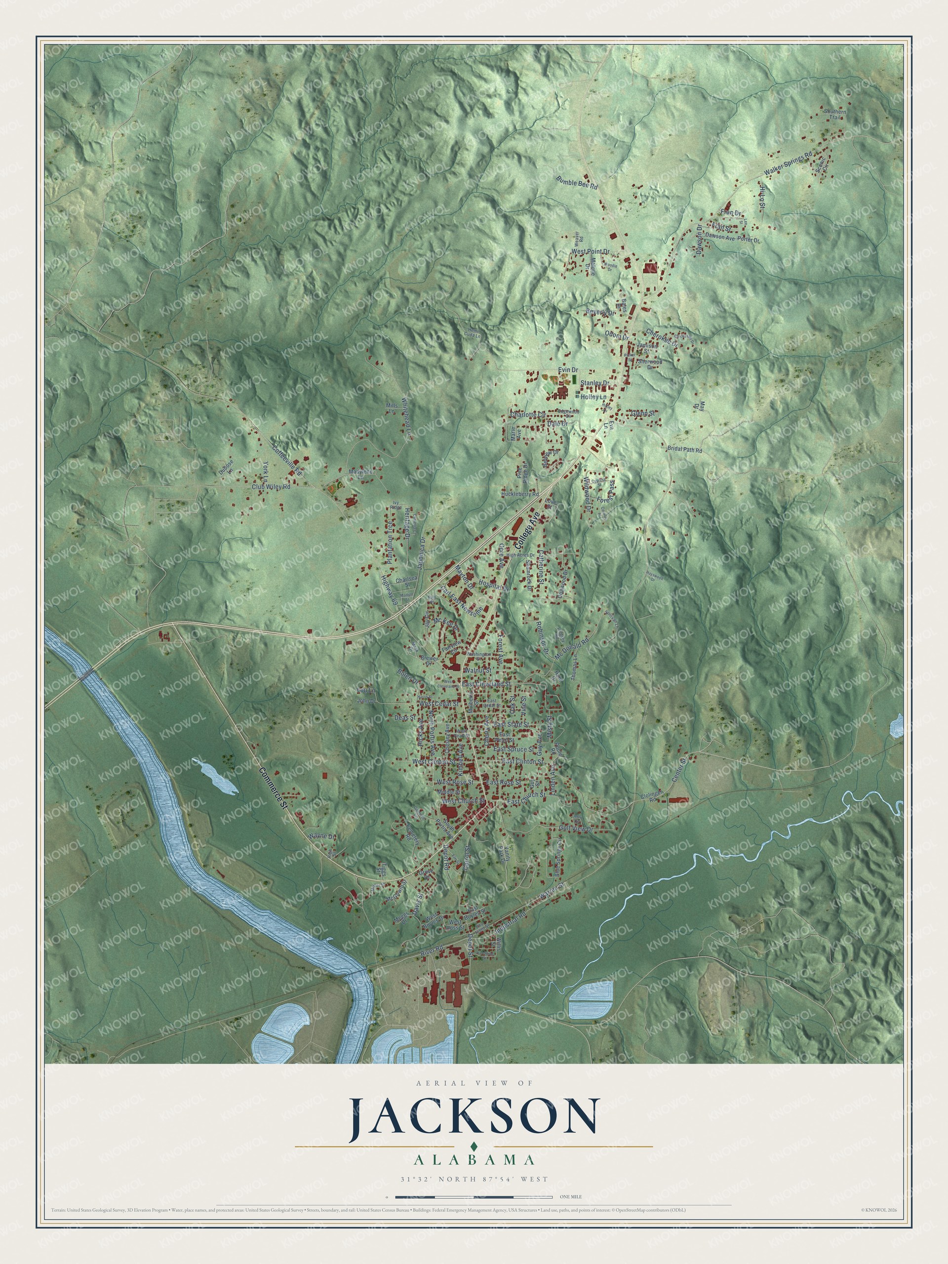
This beautifully detailed map of Jackson, Alabama was created in 2026 using aerial imagery combined with modern topographical, census, street and landmark data. It's a modern aerial view of Jackson in Clarke County, Alabama, that combines modern data with a vintage aesthetic. The roads feature printed names, and if you look closely you can find your exact house accurately shown in its correct location.
Explore an aerial view of Jackson, Alabama
On this map you'll find Commerce Street, College Avenue, River Road, West Rose Street, Cherokee Drive, Heritage Drive, Evin Drive, Coffeeville Road, Depot Street, Industrial Road, Highway 69, Walker Springs Road, and more. Each red shape is a building, so zoom in on the preview and look for yours.
Every town has a first chapter, and Jackson is no exception. The record at encyclopediaofalabama.org puts it this way: "The town was renamed Jackson on July 3, 1816, to honor Andrew Jackson for his role in the Creek War of 1813-14 , which opened up the area to settlers."
Jackson is a city in Clarke County. The Census Bureau counted 4,748 people here in 2020.
Take a closer look at the Jackson map
Names on this map
These names are printed on this map.
Streets and roads: Commerce Street, College Avenue, River Road, West Rose Street, Cherokee Drive, Heritage Drive, Evin Drive, Coffeeville Road, Depot Street, Industrial Road, Highway 69, Walker Springs Road.
More street names, A to Z
Bates Drive, Bell Place, Belview Drive, Beverly Drive, Blue Springs Circle, Bolen Drive, Brewer Drive, Bridal Path Road, Bumble Bee Road, Camellia Court, Carl East Newsome, Carrol Street, Catherine Street, Cemetery Road, Center Street, Charlotte Circle, Charlsea Street, Cherry Avenue, Chesley Avenue, Chickasaw Drive, Clolinger Road, Club Wiley Road, Country Place, Cypress Street, Dale Drive, Davis Street, Dawson Avenue, Dawson Drive, Deas Street, Depot Road, Dogwood Drive, Dubose Lane, East Boyles Street, East Cedar Street, East Church Street, East Cleveland Street, East Clinton Street, East Front Street, East Pearl Street, East Rose Street, East Spruce Street, East State Street, Edgewood Circle, Elm Street, Eva Lane, Fairview Circle, Forest Avenue, Forest Pass, Fran Drive, Fran Street, Gilmore Lane, Glenn Street, Golf View Drive, Grove Drive, Guy Avenue, Guy Street, Harris Street, Hayswood Drive, Hemi Cuda Lane, Hi-Lo Street, Hicks Avenue, High Acres Drive, High Street, Holley Drive, Holley Lane, Hospital Drive, Huckleberry Road, Hunt Drive, Ivy Ridge, Jamison Street, Japonica Drive, Jay Circle, Jerry Circle, John Drive, Kimbell Avenue, Lee Street, Linden Avenue, Lindsey Road, Lou Lane, Love Street, Mack Drive, Madylene Lane, Madyln Street, Malone Drive, Marie Avenue, May Drive, Mayton Drive, Mc Donald Road, McGowin Street, Mc Kee Drive, Meggs Drive, Middle Street, Miller Street, Mills Lane, Misty Street, Mulberry Street, North Portis Avenue, Oak Street, Ocre Avenue, Odom Drive, Parker Street, Pine Ridge Drive, Plantation Trce, Poole Road, Porter Drive, Robinson Drive, Scenic Circle, Shamrock Drive, Sherwood Drive, Southern Trail, South Portis Avenue, Stanley Drive, Sullivan Lane, Thomas Lane, Tiggs Street, Valentine Street, Vanity Park Drive, Vine Street, Walnut Street, Warren Street, Washington Street, Wayne Drive, Weaver Road, West Boyles Drive, West Cedar Street, West Church Street, West Cleveland Street, West Clinton Street, West Pearl Street, West Point Drive, West Ross Street, Whitehead Lane, Wildwood Drive, Willis Street, Woodie Drive, York Lane.
Created by KNOWOL in 2026. The buildings are small red shapes, the roads carry their printed names, and shaded relief shows the shape of the land. The title panel reads "AERIAL VIEW OF JACKSON ALABAMA" with 31°32' NORTH 87°54' WEST.
Hang it in the hallway, the office or the cabin, or give it to someone who left Jackson and still calls it home. Open the preview and look for a street you know. See sizes and frames for the Jackson map.