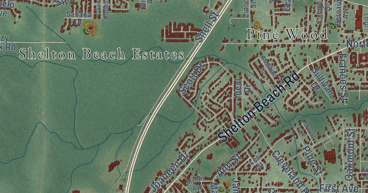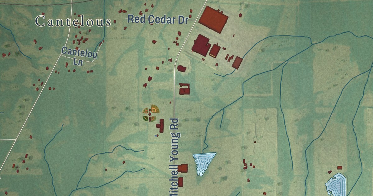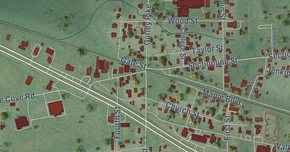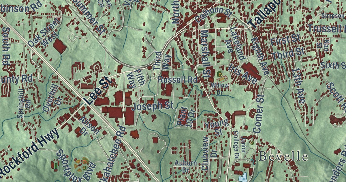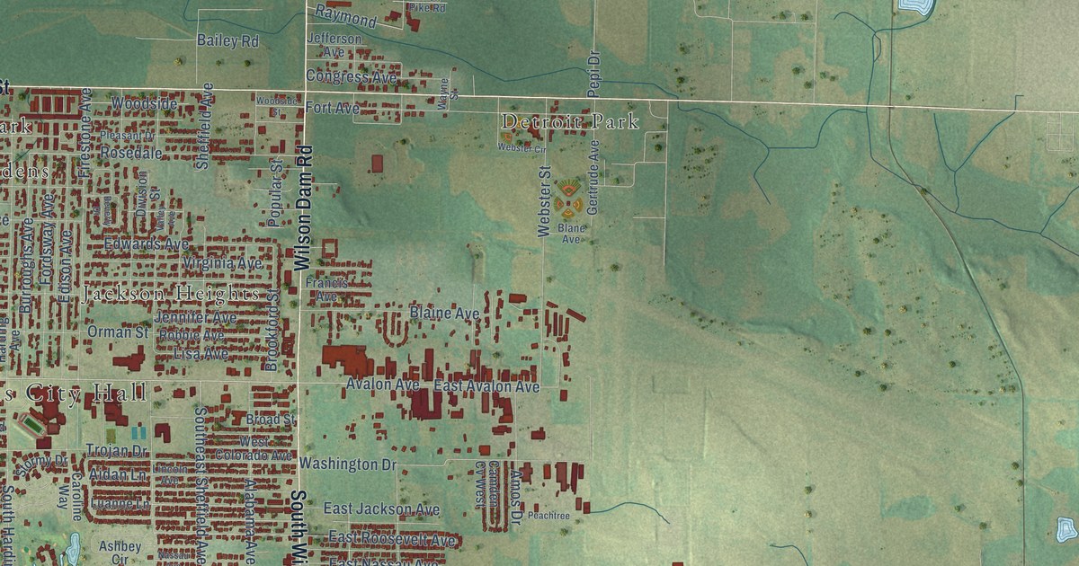
This beautifully detailed map of Muscle Shoals, Alabama was created in 2026 using aerial imagery combined with modern topographical, census, street and landmark data. It’s a one-of-a-kind view of Muscle Shoals that combines accurate data with a vintage aesthetic. The map shows every building in its true location, many of the roads carry their names, and the shaded topographic relief shows the shape of the land.
Explore an aerial view of Muscle Shoals, Alabama
On the map you’ll find Muscle Shoals City Hall, Lakeview Highlands, Cave Spring, Detroit Park, East Haven, Hobgood, Houston Corner, Jackson Heights, Lakeview, Norala Junction, Olland, Sherill Gardens, and more. If you look closely you can even find your house accurately drawn in its correct location. Zoom in on the preview to look for yours.
Did you know this about Muscle Shoals, Alabama?
From the Encyclopedia of Alabama: "Muscle Shoals is world-renowned as an important center of music production and musical history."
Take a closer look at the Muscle Shoals map
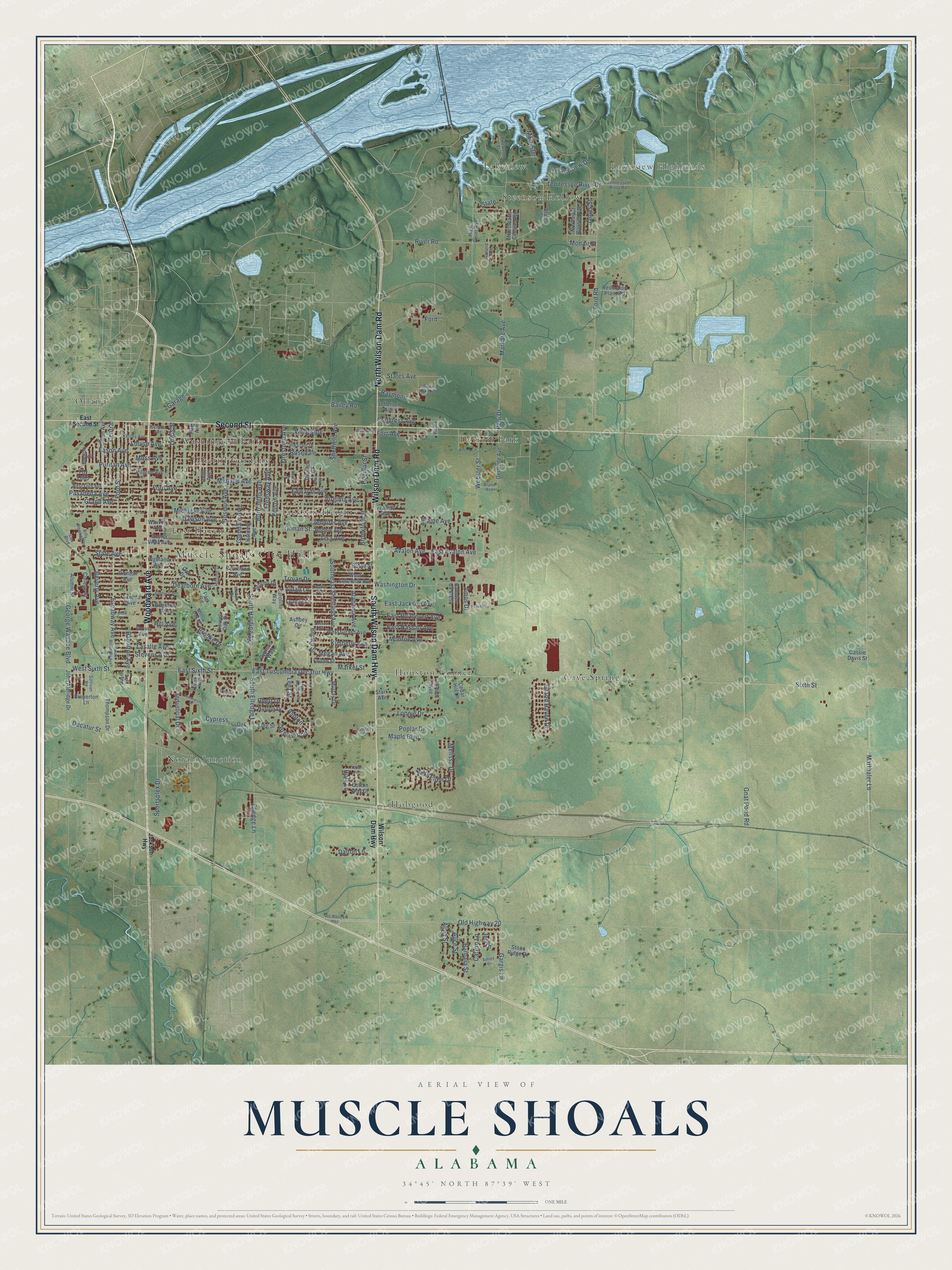
Street and place names on the Muscle Shoals, Alabama map
These names are printed on the map of Muscle Shoals, Alabama.
Places: Muscle Shoals City Hall, Lakeview Highlands, Cave Spring, Detroit Park, East Haven, Hobgood, Houston Corner, Jackson Heights, Lakeview, Norala Junction, Olland, Sherill Gardens, Steenson Hollow and Washington Park.
Streets and roads: Woodward Avenue, North Wilson Dam Road, South Wilson Dam Highway, Second Street, Wilson Dam Road, Old Highway 20, Washington Drive, Sheffield Avenue, South Harding Avenue, Southeast Sheffield Avenue, South Elledge Lane, Elledge Lane.
More street names, A to Z
Aidan Lane, Alabama Avenue, Alice Street, Alma Street, Alumni Street, Amos Drive, Anna Avenue, Ashbey Circle, Ashley Drive, Ashton, Avalon Avenue, Bailey Road, Barbara Street, Benton Drive, Beverly Avenue, Beverly Drive, Billy Bowling Drive, Blaine Avenue, Blane Avenue, Brentwood, Breyerton Lane, Brick Pike Road, Brighton Avenue, Broad Street, Broadway Avenue, Brooke Drive, Brookford Street, Brown Street, Brush Avenue, Buena Vista Avenue, Burroughs Avenue, Camden Cv West, Caroline Way, Carron Lane, Cassie Davis Street, Cedar Hill Lane, Central, Clark Street, College Street, Commerce Drive, Congress Avenue, Cotton Way Drive, Courtland Avenue, Cox Boulevard, Cypress, Cypress Lane, Cypress Way, Dalton Lane, Davison Avenue, Dearborn Avenue, Decatur Street, Division Street, Eason Avenue, East Avalon Avenue, East Jackson Avenue, East Nassau Avenue, East Roosevelt Avenue, East Second Street, East Sixth Street, East Tuscumbia Decatur Highway, Edison Avenue, Edwards Avenue, Elmhurst Avenue, Firestone Avenue, Ford, Ford Avenue, Ford Road, Ford Street, Fordsway Avenue, Fort Avenue, Fox Loop, Francis Avenue, Fulton Street, Garage, Gargis Lane, Garland Avenue, Geneva Avenue, George Wallace Boulevard, Gertrude Avenue, Glendale Avenue, Gnat Pond Road, Grand Avenue, Grand Haven Drive, Grandview Drive, Grove Avenue, Gusmus Avenue, Hamilton Avenue, Harding Avenue, Hickory Drive, Highland Avenue, High Point Avenue, Hill Avenue, Hillside Drive, Holli Lane, Huston Drive, Industrial Drive, Jackson Highway, James Street, Jeff Drive, Jefferson Avenue, Jennifer Avenue, Joe Wheeler Highway, John Aldridge Drive, Kelsey Avenue, Kimberly Avenue, King Street, Lasalle Avenue, Laurel Oak Drive, Lenz Street, Lewis Street, Lincoln Avenue, Lisa Avenue, Lonnie Drive, Louise Avenue, Luanne Lane, Maple Boulevard, Markate Avenue, Market Street, Marthaler Lane, Martin Drive, Mary Ellen Drive, Mason Street, Megan Avenue, Melissa Drive, Michigan Avenue, Midland Avenue, Monair Street, Monroe Avenue, Moss Avenue, Murray Drive, Nassau Avenue, Northeast Bunnell Avenue, Northeast Central Avenue, Oak Drive, Oak Villa Lane, Orman Street, Park Avenue, Park Road, Pasadena Avenue, Peachtree, Pepi Drive, Pilgrim Avenue, Pinewood Street, Pleasant Drive, Poplar Drive, Popular Street, Puritan Avenue, Raymond, Reduction Plant Road, Rhett Drive, Richton Avenue, River Road, Robbie Avenue, Rosedale, Sixth Street, South Broadway Avenue, Sportsplex Drive, Stark Avenue, State, State Avenue, States Avenue, Stevens Avenue, Stone Ridge Drive, Stormy Drive, Stutts Street, Sullivan Road, Tanner Avenue, Tennessee River Drive, Tennessee River Road, Thompson Drive, Todd Drive, Trojan Drive, Tuxedo Avenue, Union Avenue, Valley Avenue, Virginia Avenue, Waverly Avenue, Wayne Street, Webster Circle, Webster Street, West Colorado Avenue, West Ford Avenue, West Girard Avenue, West McGuire Drive, West Sixth Street, Whitney Drive, Willow Oak Drive, Wilson Dam Highway, Woodside, Woodside Street.
See the Muscle Shoals, Alabama map on a wall
The Muscle Shoals map as an 18 x 24 inch print in a black frame.

This beautifully detailed map of Muscle Shoals makes an attractive addition to your office, library, or den, and it can even be used to teach children the geography and history of the area. It also makes a great gift for anyone with Muscle Shoals roots. When you’re done exploring, click here to get your copy of the Muscle Shoals map.