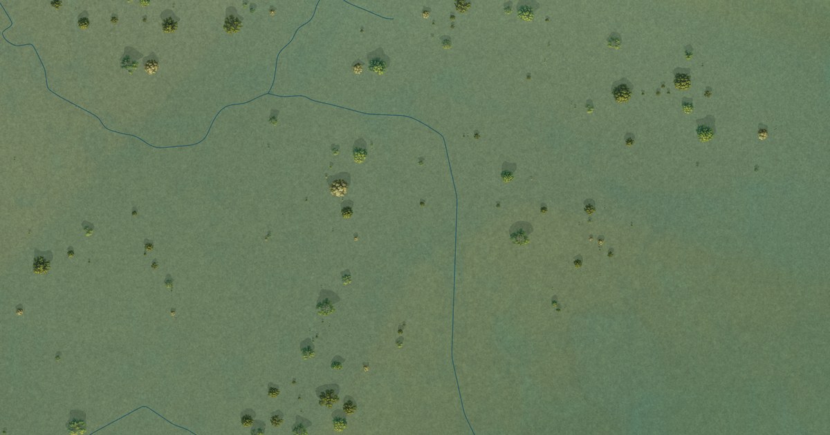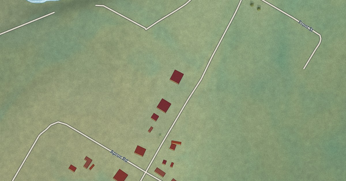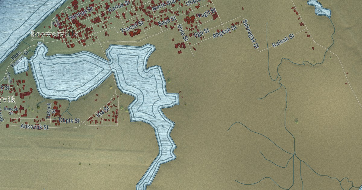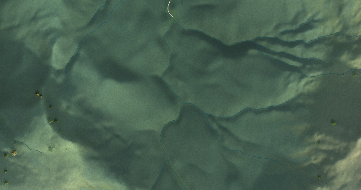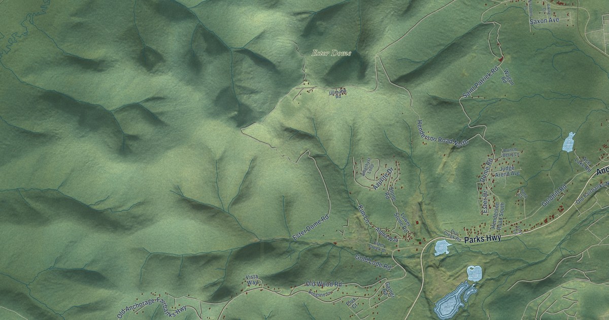
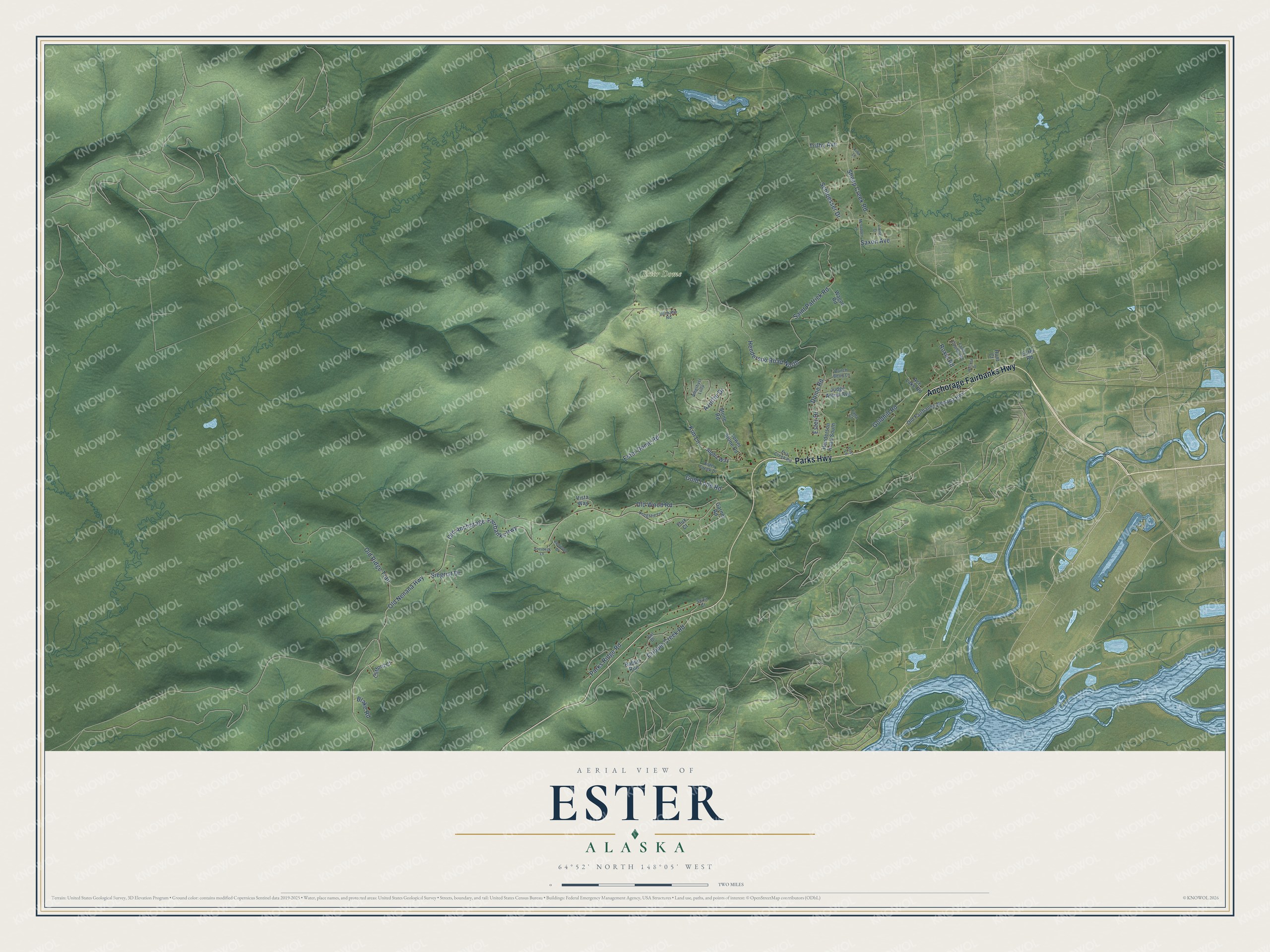
This beautifully detailed map of Ester, Alaska was created in 2026 using aerial imagery combined with modern topographical, census, street and landmark data. It’s a one-of-a-kind view of Ester that combines accurate data with a vintage aesthetic. The map shows every building in its true location, many of the roads carry their names, and the shaded topographic relief shows the shape of the land.
Explore an aerial view of Ester, Alaska
On the map you’ll find Ester Dome, along with Anchorage Fairbanks Highway, Parks Highway, Old Nenana Highway, Ester Dome Road, Old Anchorage-Fairbanks Highway, Goldhill Road, Saint Patrick Road, Old Ridge Trail, Henderson Road North, Parks Ridge Road, Sheep Creek Road, and more. Ester sits about 4 miles south of Goldstream, 6 miles north of Chena Ridge and 7 miles west of College. If you look closely you can even find your house accurately drawn in its correct location. Zoom in on the preview to look for yours.
Did You Know?
The town began in 1904 as a gold mining camp on Ester Creek. It was among the richest creeks of the Fairbanks Gold Rush. By 1907 Ester City had several hundred people, with hotels, saloons and stores. Mining revived in the 1930s, and a dredge later mined through the entire original townsite. That’s from the Alaska DCRA.
Take a closer look at the Ester map
Names on this map
These names are printed on this map.
Places: Ester Dome.
Streets and roads: Anchorage Fairbanks Highway, Parks Highway, Old Nenana Highway, Ester Dome Road, Old Anchorage-Fairbanks Highway, Goldhill Road, Saint Patrick Road, Old Ridge Trail, Henderson Road North, Parks Ridge Road, Sheep Creek Road, Old Wood Road.
More street names, A to Z
Ace Lake Road, Alpha Way, Amethyst Loop, Azurite Drive, Blake Road, Bunch Berry Lane, Clifford Court, Cripple Creek Road, Dome Road, Ester Creek Drive, Ester Drive, Ester Road, Eva Creek Road, Faulk County Road, Flux Court, Garner Road, Gold Lode Road, Grosbeak Lane, Henderson Road South, Hunt Court, Jamieson Drive, Judge Arend Avenue, Killik Lane, Kim Lane, Krogstie Lane, Lost Lane, Lower Stone Road, McFadden Lane, Old Fairbanks Nenana Highway, Owl Drive, Rabbit Run, Roxie Road, Saxon Avenue, Schloesser Drive, Siegrist Drive, Spirit Court, Stone Road, Trilby Avenue, Ullrbahn Road, Viking Court, Vista Way, Wagon Road, Wecota Drive, Yana Court.
See it on a wall
The Ester map as a framed print. Swipe for more.


This beautifully detailed map of Ester makes an attractive addition to your office, library, or den, and it can even be used to teach children the geography and history of the area. It also makes a great gift for someone who left Ester and still calls it home. When you’re done exploring, click here to get your copy of the Ester map.