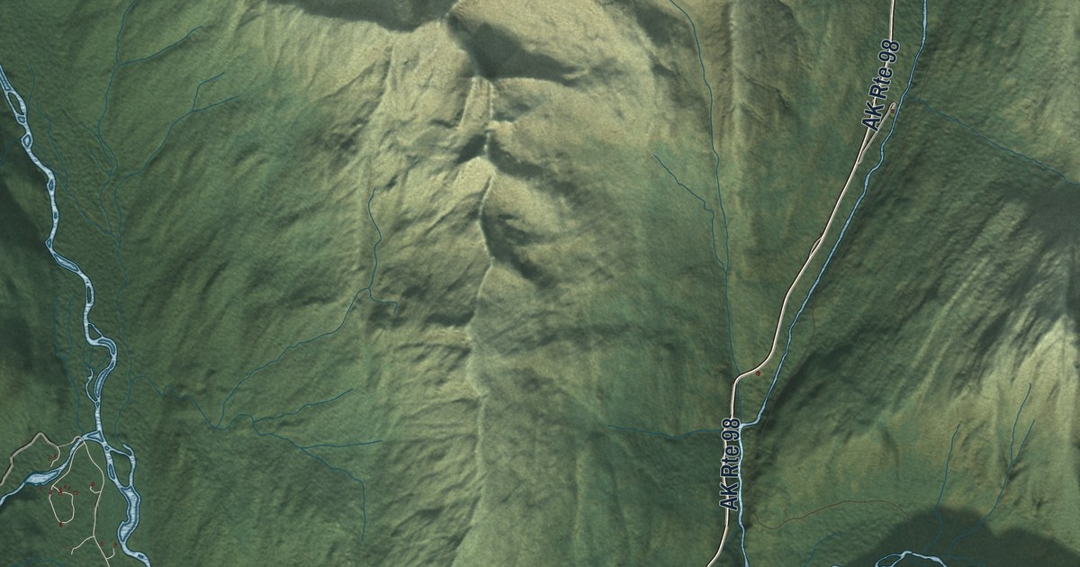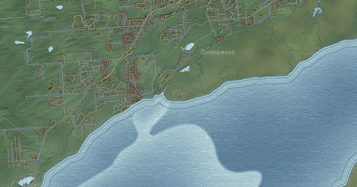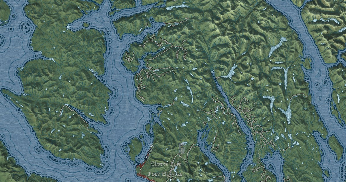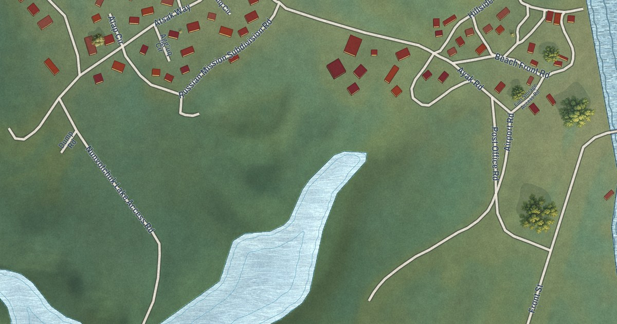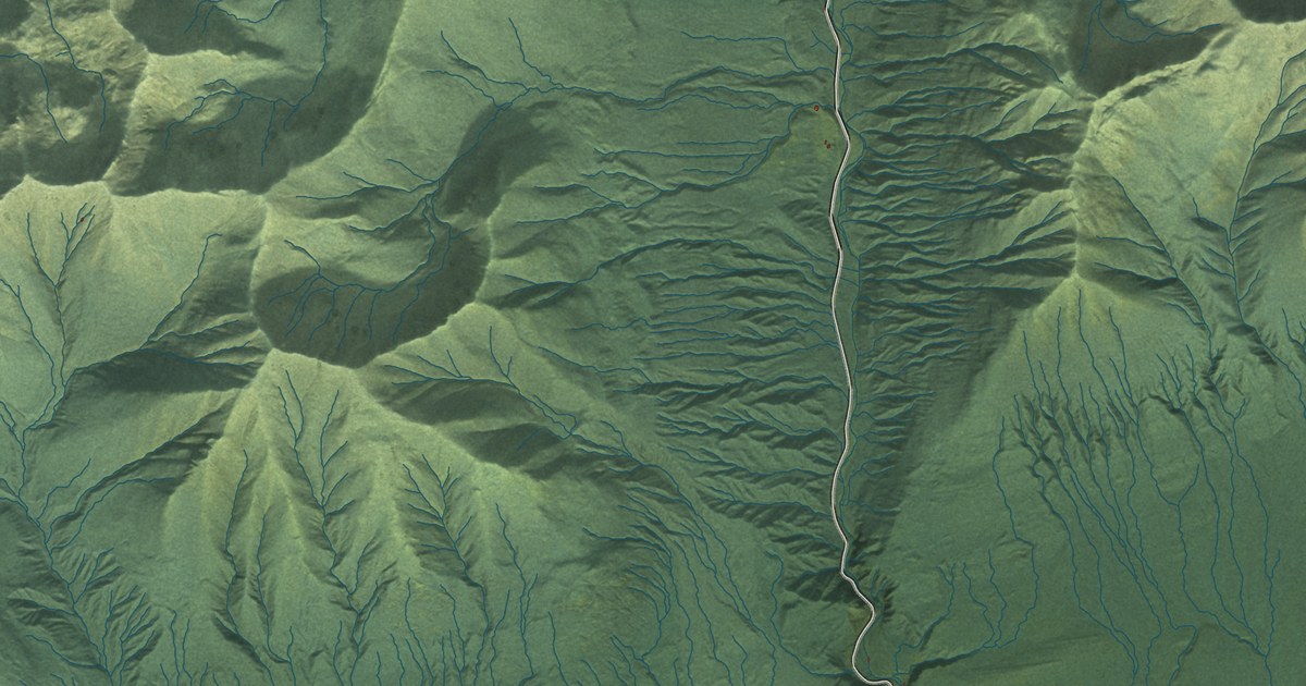
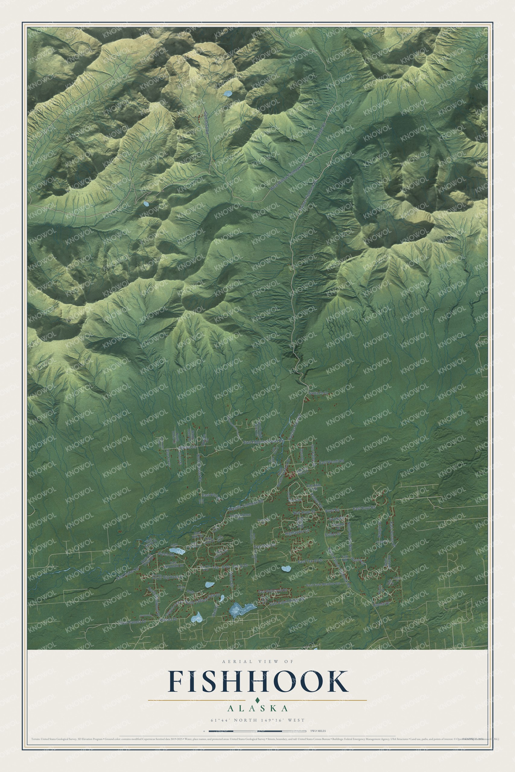
This beautifully detailed map of Fishhook, Alaska was created in 2026 using aerial imagery combined with modern topographical, census, street and landmark data. It's a modern aerial view of Fishhook in Matanuska-Susitna Borough, Alaska, that combines modern data with a vintage aesthetic. The roads feature printed names, and if you look closely you can find your exact house accurately shown in its correct location.
Explore an aerial view of Fishhook, Alaska
On this map you'll find East Tex-Al Drive, East Boyd Road, Tex – Al Drive, Palmer Road, North Palmer-Fishhook Road, East Jensen Road, Boyd Road, Hatcher Pass Road, Wasilla-Fishhook Road, East Edgerton Parks Road, Doro Drive, Gordy Drive, and more. Each red shape is a building, so zoom in on the preview and look for yours.
Fishhook has a story worth telling. The Alaska DCRA puts it this way: "Fishhook Creek flows into the Little Susitna River, 11 miles northwest of Palmer. Gold quartz claims were first located in the basin of Fishhook Creek in 1906 by Robert Hatcher."
Fishhook is a community in Matanuska-Susitna Borough. The Census Bureau counted 5,048 people here in 2020.
Take a closer look at the Fishhook map
Names on this map
These names are printed on this map.
Streets and roads: East Tex-Al Drive, East Boyd Road, Tex - Al Drive, Palmer Road, North Palmer-Fishhook Road, East Jensen Road, Boyd Road, Hatcher Pass Road, Wasilla-Fishhook Road, East Edgerton Parks Road, Doro Drive, Gordy Drive.
More street names, A to Z
Alberta Circle, Archangel Road, Bains Jordan Drive, Bernard Court, Big Rock Drive, Blue Fox Drive, Bonnie Drive, Cold Bay Drive, Covington Street, Crabb Circle, Donna Street, East Altra, East Altri Drive, East Aspen Ridge Road, East Atka Drive, East Big Rock Drive, East Dale Circle, East Farm Meadow Avenue, East Fisher Road, East McDowell Road, East Mile 6 Road, East Pamela Drive, East Shorty Street, East Tex Al Drive, East Unalaska Drive, East Wendt Road, East Wolf Creek Road, Esther Drive, Falk Road, Gold Bullion Boulevard, Gold Cord Road, Green Street, Heavenly Circle, Hiett Drive, Highlander Circle, Independence Avenue, King Cove Drive, Lazer Street, Lentz Road, Little Otter Drive, Nangle Street, New Hope Street, North Bear Den Circle, North Covington Street, North Doris Circle, North En Dove Road, North Grouse Loop, North Mountain Trails Drive, North Russet Road, North Solid Rock Circle, North Sun Valley Drive, North Tahoe Drive, North Talgach View Drive, North Wasilla-Fishhook Road, North Weltin Way, North Wildwood Drive, Palmer-Fishhook Road, Pamela Drive, Prdr, Raleigh Hills Street, Rhonda Drive, Runyon Circle, Sand Point Drive, Santa Fe Drive, Starwood Drive, Steen Str, Sun Valley Drive, Talgach View Drive, Tex-Al Drive, Waldo Reed Road, Welch Road, Weltin Way, West Willow Fishhook Road, Yale Court, Yentna Drive.
Created by KNOWOL in 2026. The buildings are small red shapes, the roads carry their printed names, and shaded relief shows the shape of the land. The title panel reads "AERIAL VIEW OF FISHHOOK, ALASKA" with 61°44' NORTH 149°16' WEST.
It looks right in a kitchen, an office or a den, and it's a gift for anyone who grew up in Fishhook or moved away. Open the preview and find your street. See sizes and frames for the Fishhook map.