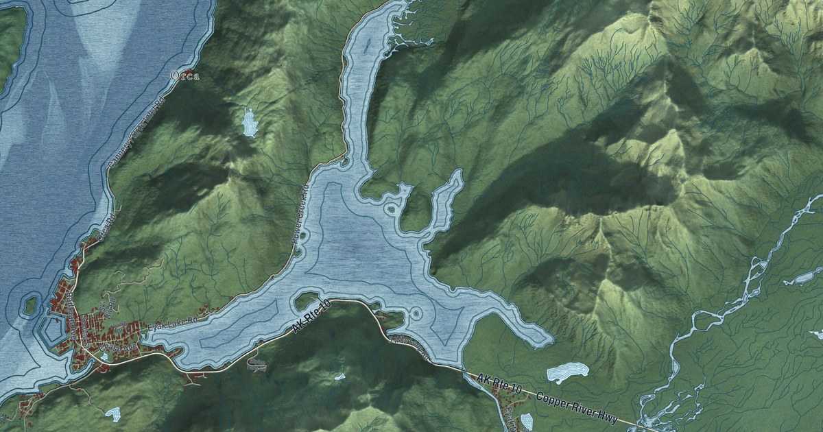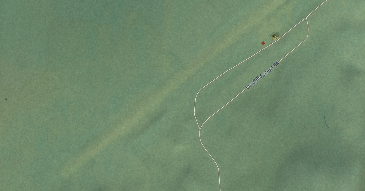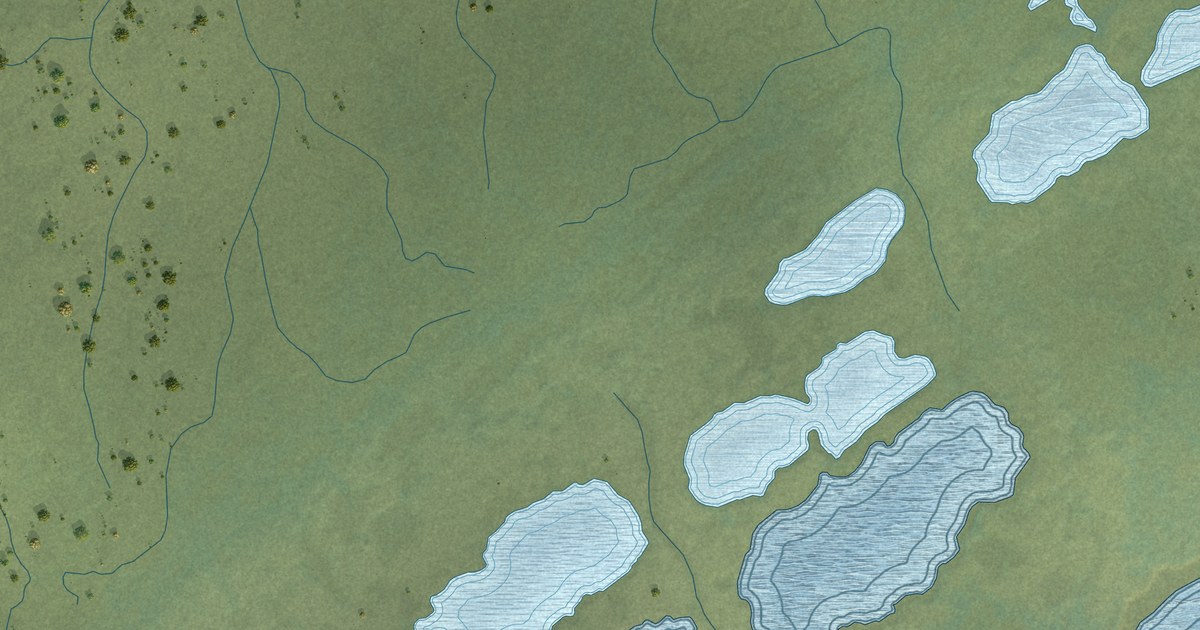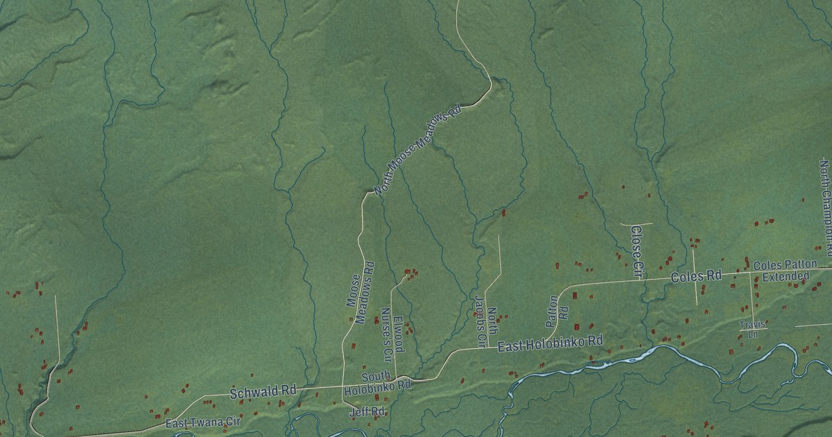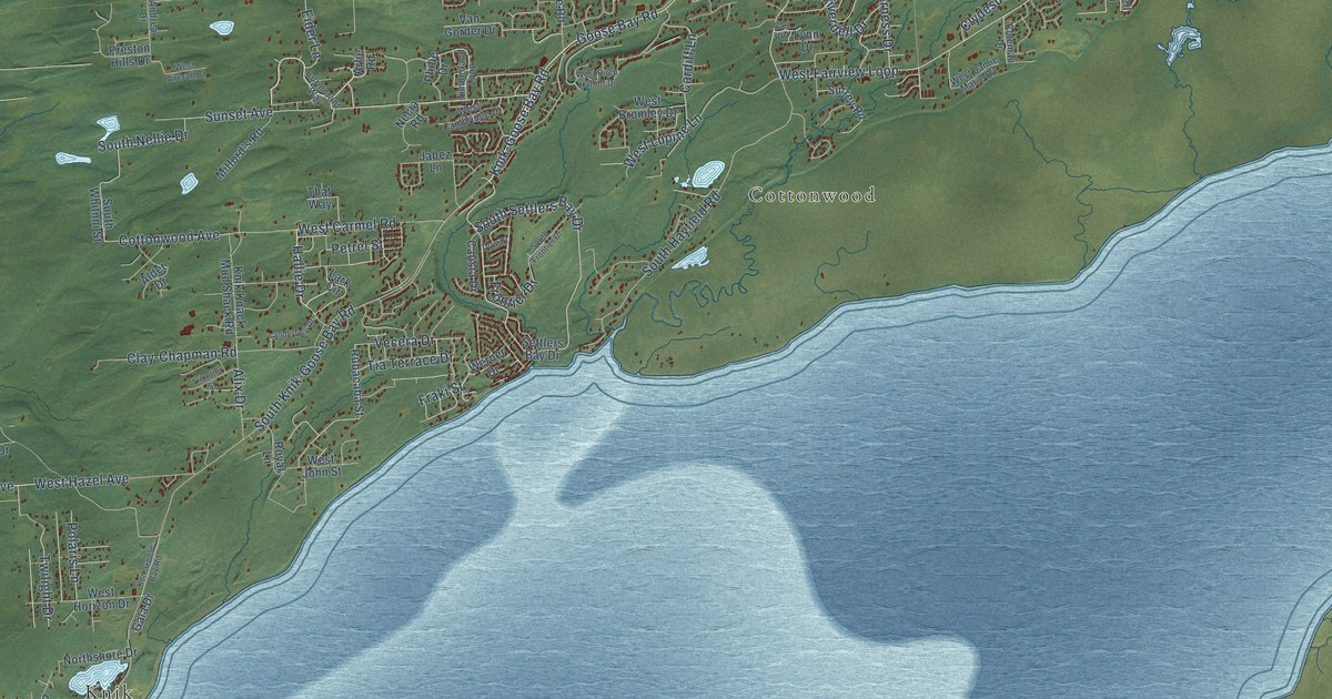
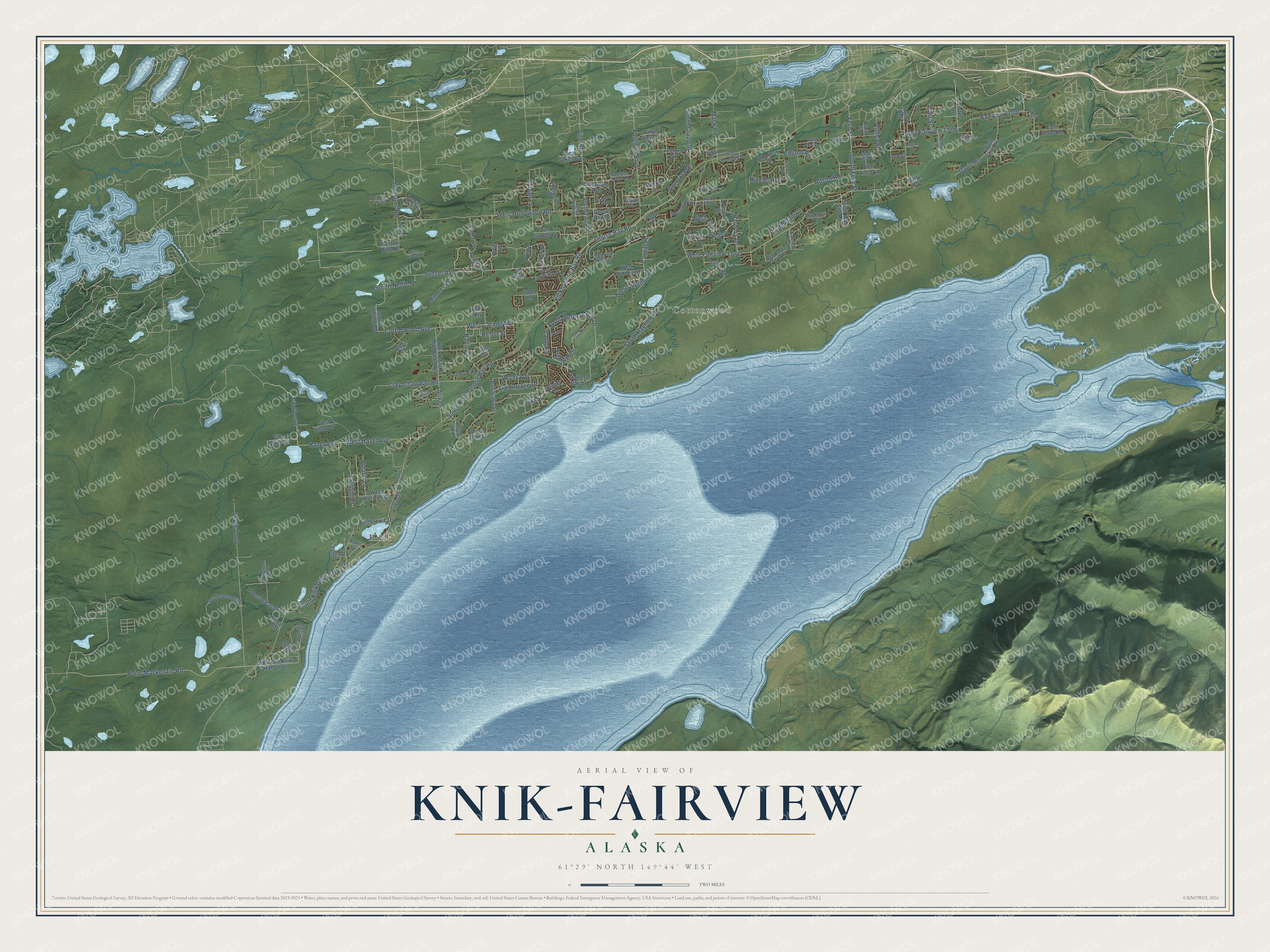
This beautifully detailed map of Knik-Fairview, Alaska was created in 2026 using aerial imagery combined with modern topographical, census, street and landmark data. It's a modern aerial view of Knik-Fairview in Matanuska-Susitna Borough, Alaska, that combines modern data with a vintage aesthetic. The roads feature printed names, and if you look closely you can find your exact house accurately shown in its correct location.
Explore an aerial view of Knik-Fairview, Alaska
On this map you'll find Cottonwood, Knik, West Fairview Loop, Sunset Avenue, South Settlers Bay Drive, Knik-Goose Bay Road, Point Mackenzie Road, Hazel Avenue, South Fern Street, Fern Street, Vine Road, West Hollywood Road, and more. Each red shape is a building, so zoom in on the preview and look for yours.
Knik-Fairview has a story worth telling. The Alaska DCRA puts it this way: "When the Alaska Railroad bypassed Knik in 1915, many residents relocated to Anchorage and Wasilla. Camp 13 of the Matanuska Colony, with 6 farms, was established along Fairview Road in 1935."
Knik-Fairview is a community in Matanuska-Susitna Borough. The Census Bureau counted 19,297 people here in 2020.
Take a closer look at the Knik-Fairview map
Names on this map
These names are printed on this map.
Places: Cottonwood and Knik.
Streets and roads: West Fairview Loop, Sunset Avenue, South Settlers Bay Drive, Knik-Goose Bay Road, Point Mackenzie Road, Hazel Avenue, South Fern Street, Fern Street, Vine Road, West Hollywood Road, Goose Bay Road, South Knik Goose Bay Road.
More street names, A to Z
Adson Road, Alder Drive, Alder Lane, Alix Drive, Althea Street, Andrea Drive, Arlie Road, Bluff Vista Circle, Calista Drive, Cardiff Lane, Carl Drive, Carr Street, Cataract Street, Cindyloo Lane, Clay-Chapman Road, Clayton Street, Clydesdale Drive, Coleman Drive, Cormorant Way, Cotten Drive, Cottonwood Avenue, Country Drive, Crestview Avenue, Davis Road, Dawn Lake Drive, Donovan Drive, Dow Drive, Eagle Vista Circle, East Crane Road, East Fairview Loop, Edelweiss Drive, Edlund Road, Eider Lane, Ella Mae, Ellis White Circle, Fairview Loop, Foothills Boulevard, Fraki Street, Frontier Drive, Gala Drive, Goose Bay Drive, Hallie Drive, Harness Drive, Jabez Lane, Johnsons Road, Knik Goose Bay Road, Knik Knack Mud Shack Road, Lark Circle, Lee Street, Lewis Loop, Limberlost Avenue, Linlu Lane, Lookout Drive, Loussac Lane, Lynn Drive, Mack Road, Marble Way, Mitford's Road, Necia Road, Northern Rose Lane, Northshore Drive, Overby Street, Patty Drive, Petrel Street, Philie Drive, Polaris Lane, Preston Hills Drive, Range View Drive, Regine Avenue, Rian Avenue, Rivulet Avenue, Rohn Drive, Royal Lane, Rubacaba Street, Ruth Street, Sakai Street, Sanderling Drive, Settlers Bay Drive, South Clapp Street, South Davis Road, South Ella Louise Circle, South Frontier Drive, South Hayfield Road, South Knik-Goose Bay Road, South Nellie Drive, South Shannon, South Vine Road, South Watson Drive, South Well Site Road, South Whitnni Street, Suburban Drive, Surrey Road, Sylvan Lane, Teeland Street, That Way, Tia Terrace Drive, Tidal Way, Timberland Loop, Togiak Avenue, Top of the World Circle, Trimotor Street, Tuttle Road, Twilight Drive, Valley View Drive, Van Gorder Drive, Vecera Drive, Werner Drive, West Aircraft Court, West Birch Harbor Drive, West Bromley Drive, West Cambridge Drive, West Carmel Road, West Gleason Lane, West Hazel Avenue, West Horizon Drive, West Jakes Road, West Jamie Marie Circle, West Jess Avenue, West John Street, West Jones Drive, West Kaye Lake Road, West Leota Street, West Lupine Lane, West Marble Way, West Old Knik Harbor Drive, West Riverdell Drive, West Shaw Drive, West Stonebluff Drive.
See it on a wall
The Knik-Fairview map as a framed print. Swipe for more.


Created by KNOWOL in 2026. The buildings are small red shapes, the roads carry their printed names, and shaded relief shows the shape of the land. The title panel reads "AERIAL VIEW OF KNIK-FAIRVIEW, ALASKA" with 61°29' NORTH 149°44' WEST.
It looks right in a kitchen, an office or a den, and it's a gift for anyone who grew up in Knik-Fairview or moved away. Open the preview and find your street. See sizes and frames for the Knik-Fairview map.