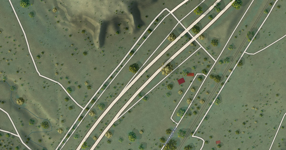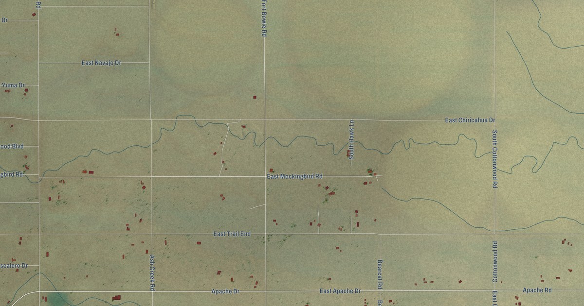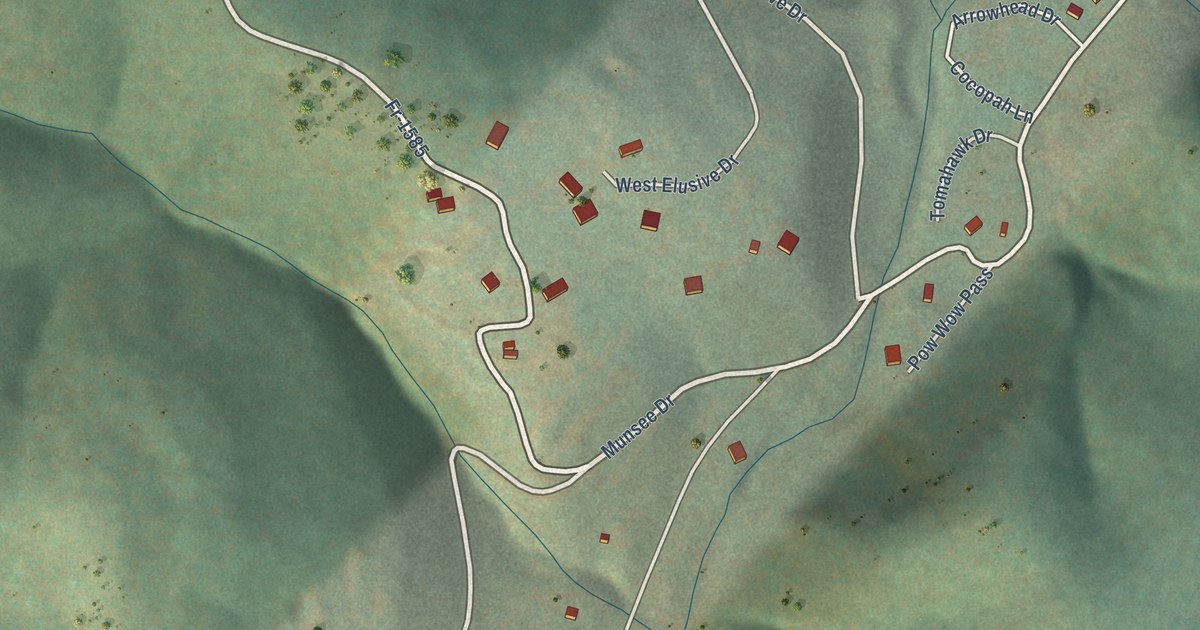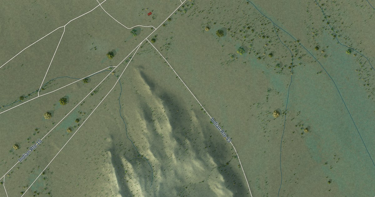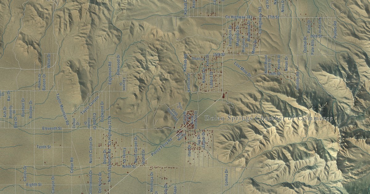
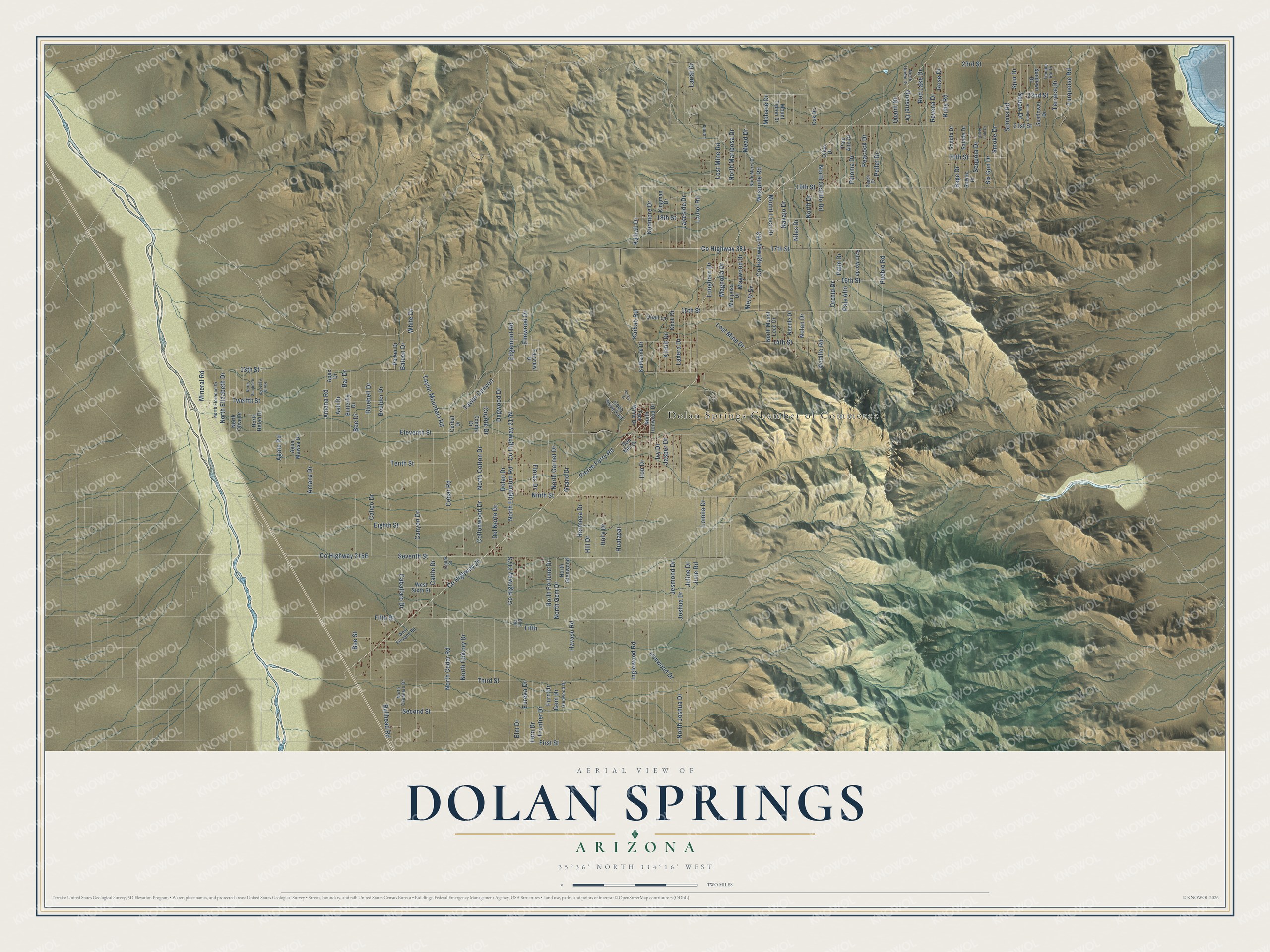
This beautifully detailed map of Dolan Springs, Arizona was created in 2026 using aerial imagery combined with modern topographical, census, street and landmark data. It's a modern aerial view of Dolan Springs in Mohave County, Arizona, that combines modern data with a vintage aesthetic. The roads feature printed names, and if you look closely you can find your exact house accurately shown in its correct location.
Explore an aerial view of Dolan Springs, Arizona
On this map you'll find Dolan Springs Chamber of Commerce, Pierce Ferry Road, Co Highway 25, Eleventh Street, Ocitillo Road, 17th Street, Co Highway 381, North Edgemont Road, 13th Street, Amana Road, North Ocitillo Road, Kaibab Road, and more. Each red shape is a building, so zoom in on the preview and look for yours.
Dolan Springs is a community in Mohave County. The Census Bureau counted 1,734 people here in 2020. Dolan Springs sits about 11 miles southeast of White Hills, 13 miles north of Chloride and 25 miles north of So-Hi. The map prints the town name in its title panel, with the coordinates below it.
Take a closer look at the Dolan Springs map
Names on this map
These names are printed on this map.
Places: Dolan Springs Chamber of Commerce.
Streets and roads: Pierce Ferry Road, County Highway 25, Eleventh Street, Ocitillo Road, 17th Street, County Highway 381, North Edgemont Road, 13th Street, Amana Road, North Ocitillo Road, Kaibab Road, Kaibab Drive.
More street names, A to Z
14th Street, 15th Street, 16th Street, 18th Street, 19th Street, 20th Street, 21st Street, 22nd Street, 23rd Street, Agate Road, Agua Mawsa Drive, Amana Drive, Apex Drive, Ash Drive, Bar Drive, Bateen Drive, Bee Drive, Bee Street, Bluebell Drive, Boulder Drive, Bullhead Road, Butterfly Drive, Caballaro Drive, Calico Drive, Canyon Drive, Cattle Drive, Cedar Road, Cedar Street, Cerbat Drive, Cobb Drive East, Condor Drive, Cottonwood Drive, County Highway 383, Coyote Drive, Del Norte Drive, Dogwood Drive, Dolan Drive, Don Nell Drive, Edgemont Road, Eighth Street, Elm Drive, Elm Road, Elmwood Drive, Eureka Drive, Fairview Drive, Fern Drive, Fifth, Fifth Street, First Street, Flores Drive, Frontier Drive, Furn Drive, Gem Drive, Glenwood Drive, Grand Drive, Havasu Road, Hermosa Drive, Hill Drive, Holly Drive, Hualapai, Inglewood Road, Iron Drive, Ironwood Drive, Ivy Drive, Jasper Drive, Jesmond Drive, Joshua Drive, Juline Drive, June Road, Katherine Drive, Kenmore Drive, Kingman Drive, Kitmit Drive, Knoll Drive, Ladera Drive, Lakeside Drive, Lariat Drive, Laurel Road, Lomila, Lomila Drive, Longhorn Drive, Lost Mine Drive, Lost Mine Road, Magnolia Drive, Mariposa Drive, Maywood Drive, Mead Drive, Merry Drive, Mesquite Road, Mineral Road, Mohave Drive, Mount Loco Drive, Mount Tipton Drive, Navajo Drive, Needle Drive, Niles Drive, Ninth Street, Nolan Drive, North Agate Road, North Caballaro Drive, North Cedar Road, North Chicory Drive, North Cotton Drive, North Drive, North Elizabeth Drive, North Florence Drive, North Fortune Drive, North Garnet Drive, North Gem Drive, North Glenwood, North Helen Drive, North Ironwood Drive, North Joshua Drive, North Mariposa Drive, North Merry Drive, North Mount Loco Drive, North Olive Drive, North Queen Drive, North Sandra Drive, Oak Drive, Olive Drive, Orchid Drive, Pale Alto, Palm Drive, Palo Alto Drive, Paloma Drive, Palo Vorde, Parker Drive, Parker Street, Peach Drive, Peacock Drive, Pellet Drive, Pueblo Road, Quail Lane, Quaint Drive, Quesnel Drive, Red Lake Drive, Revena Drive, Rose Drive, Ruby Road, Saddle Drive, Sage Drive, Salade Drive, Scenic Drive, Second Street, Sequoia Drive, Seventh Street, Silver Lode Drive, Six Gun Drive, Smoke Drive, Sonora Road, Spur Drive, Stallion Drive, Sundown Drive, Sunflower Drive, Taylor Canyon, Taylor Mountain Road, Temple Bar Drive, Tenth Street, Terrace Drive, Third Street, Tom White Drive, Turquoise Road, Twelfth Street, West Paragon Road, West Sixth Street, White Drive.
See it on a wall
The Dolan Springs map as a framed print. Swipe for more.


Created by KNOWOL in 2026. The buildings are small red shapes, the roads carry their printed names, and shaded relief shows the shape of the land. The title panel reads "AERIAL VIEW OF DOLAN SPRINGS, ARIZONA" with 35°36' NORTH 114°16' WEST.
It looks right in a kitchen, an office or a den, and it's a gift for anyone who grew up in Dolan Springs or moved away. Open the preview and find your street. See sizes and frames for the Dolan Springs map.