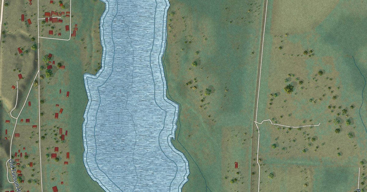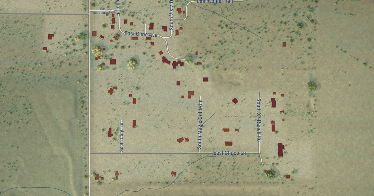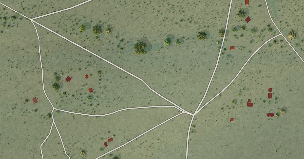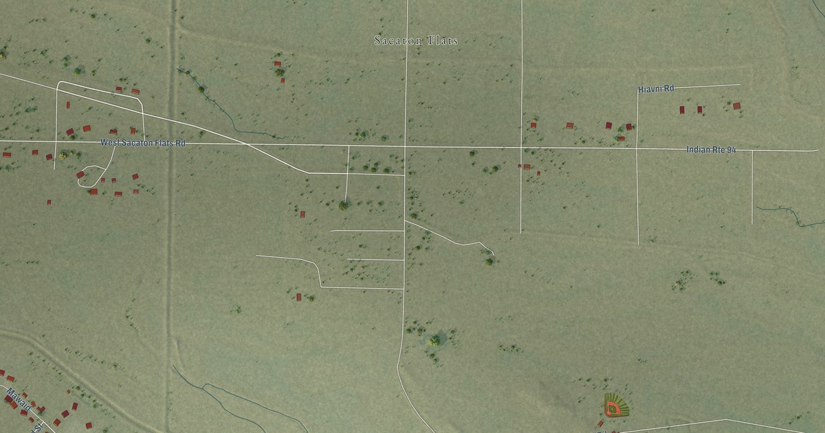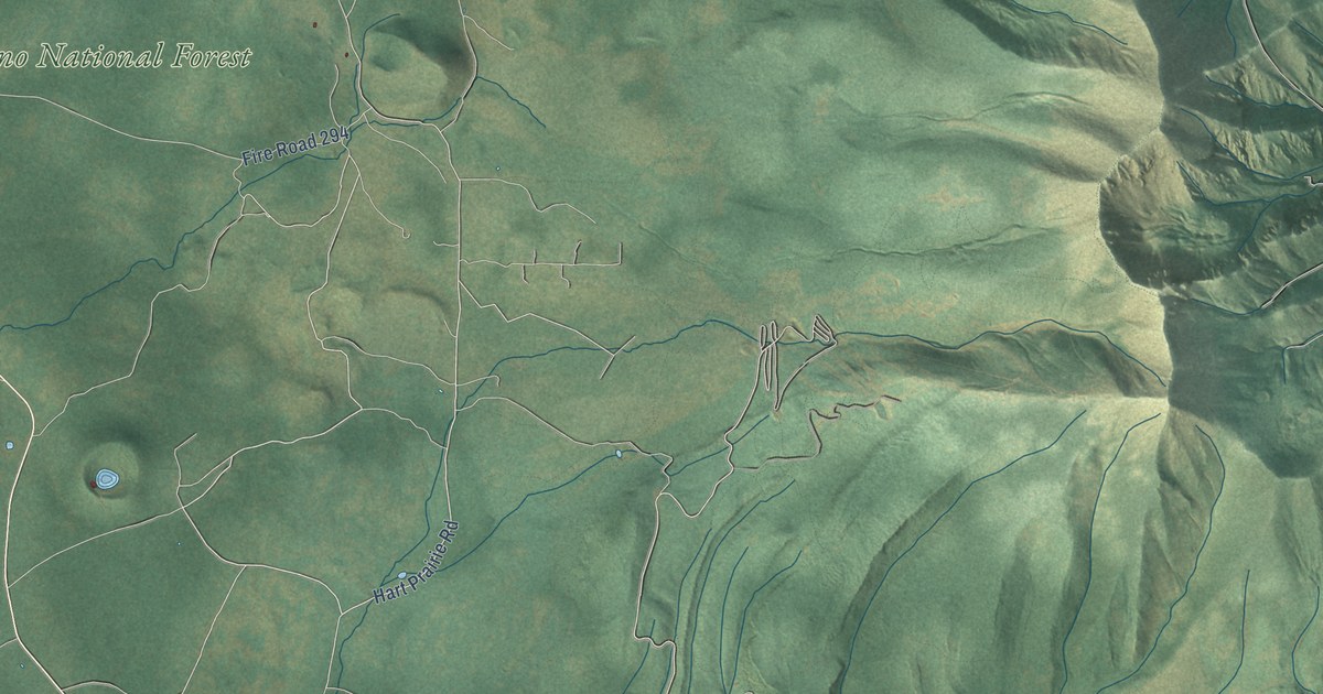
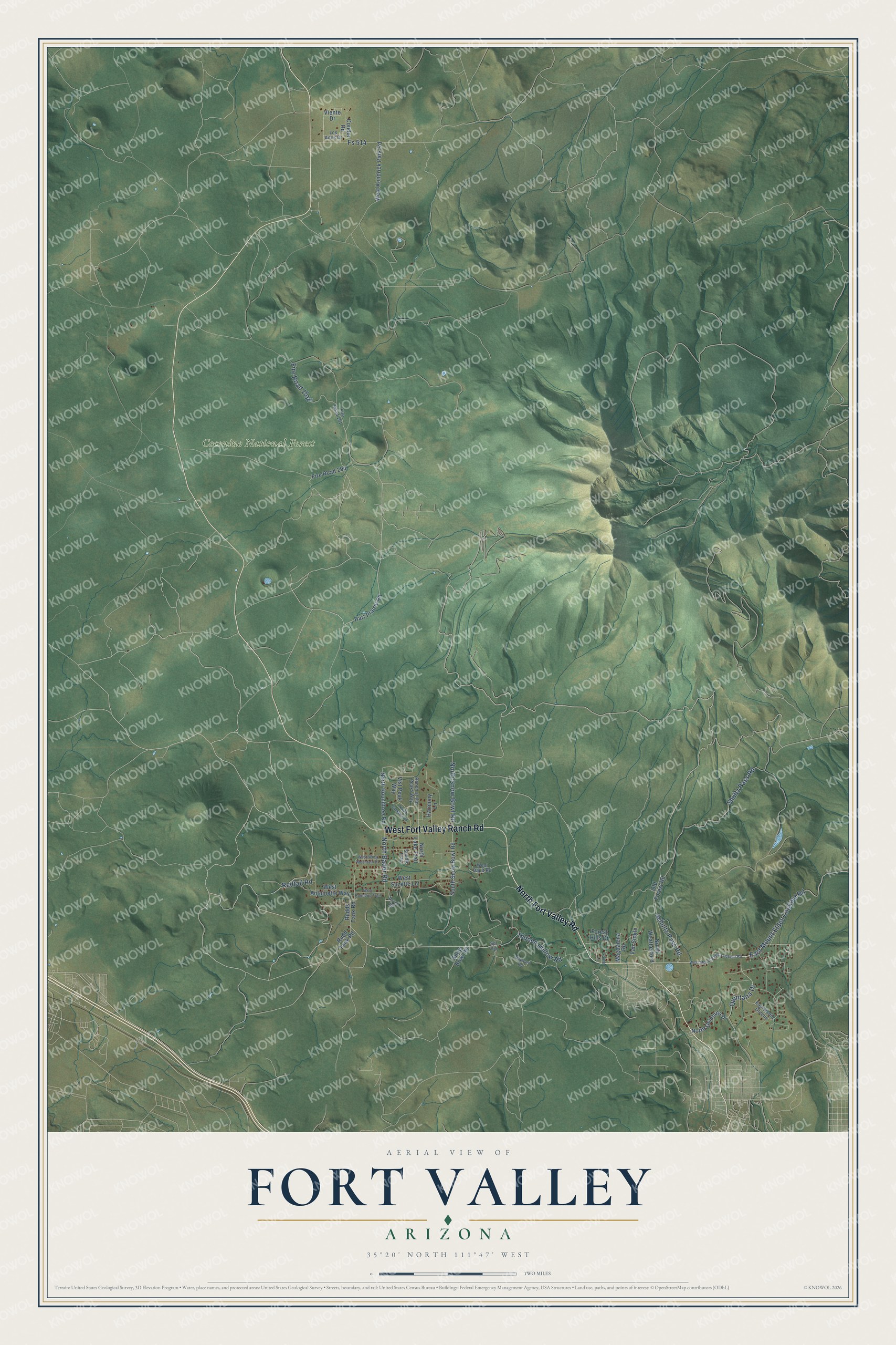
This beautifully detailed map of Fort Valley, Arizona was created in 2026 using aerial imagery combined with modern topographical, census, street and landmark data. It's a modern aerial view of Fort Valley in Coconino County, Arizona, that combines modern data with a vintage aesthetic. The roads feature printed names, and if you look closely you can find your exact house accurately shown in its correct location.
Explore an aerial view of Fort Valley, Arizona
On this map you'll find Coconino National Forest, North Fort Valley Road, West Fort Valley Ranch Road, Hidden Hollow Road, Schultz Pass Road, East Mount Elden Lookout Road, Shultz Pass Road, North Snow Bowl Road, Quintana Drive, North Bader Road, Fire Road 151E, Redtail Road, and more. Each red shape is a building, so zoom in on the preview and look for yours.
Fort Valley is a community in Coconino County. The Census Bureau counted 1,682 people here in 2020. Fort Valley sits about 7 miles northeast of Bellemont, 11 miles west of Timberline-Fernwood and 12 miles northwest of Flagstaff. The map prints the town name in its title panel, with the coordinates below it.
Take a closer look at the Fort Valley map
Names on this map
These names are printed on this map.
Places: Coconino National Forest.
Streets and roads: North Fort Valley Road, West Fort Valley Ranch Road, Hidden Hollow Road, Schultz Pass Road, East Mount Elden Lookout Road, Shultz Pass Road, North Snow Bowl Road, Quintana Drive, North Bader Road, Redtail Road, Fs 514, Hart Prairie Road.
More street names, A to Z
Condor Road, East Hattie Greene, Failte Lane, Fire Road 151, Fire Road 294, Forest Hills Drive, Harmony Lane, Los Aitos Drive, Magdalena Road, North Catalina Road, North Lake Trail, North Quintana Drive, North Roundtree Road, North Weatherford, Old Forest Road, Ranch at the Peaks Way, Raven Road, Rudds Tank Road, Rudd Tank Road, Saddle Trail, Snow Bowl Road, Sol Vis, South Snow Bowl Road, Van Sickle, Viento Drive, Vist Peak Way, Wayward Road, West Antoinette Way, West Dault Road, West Kendrick Park Road, West Mount Elden Lookout Road, West Roundup Trail, West Suzette Lane, West Wing Mountain Drive.
See it on a wall
The Fort Valley map as a framed print. Swipe for more.


Created by KNOWOL in 2026. The buildings are small red shapes, the roads carry their printed names, and shaded relief shows the shape of the land. The title panel reads "AERIAL VIEW OF FORT VALLEY, ARIZONA" with 35°20' NORTH 111°47' WEST.
It suits a den, a classroom or a front hall, and it makes a gift for anyone with Fort Valley roots. Open the preview and find the block you know. See sizes and frames for the Fort Valley map.