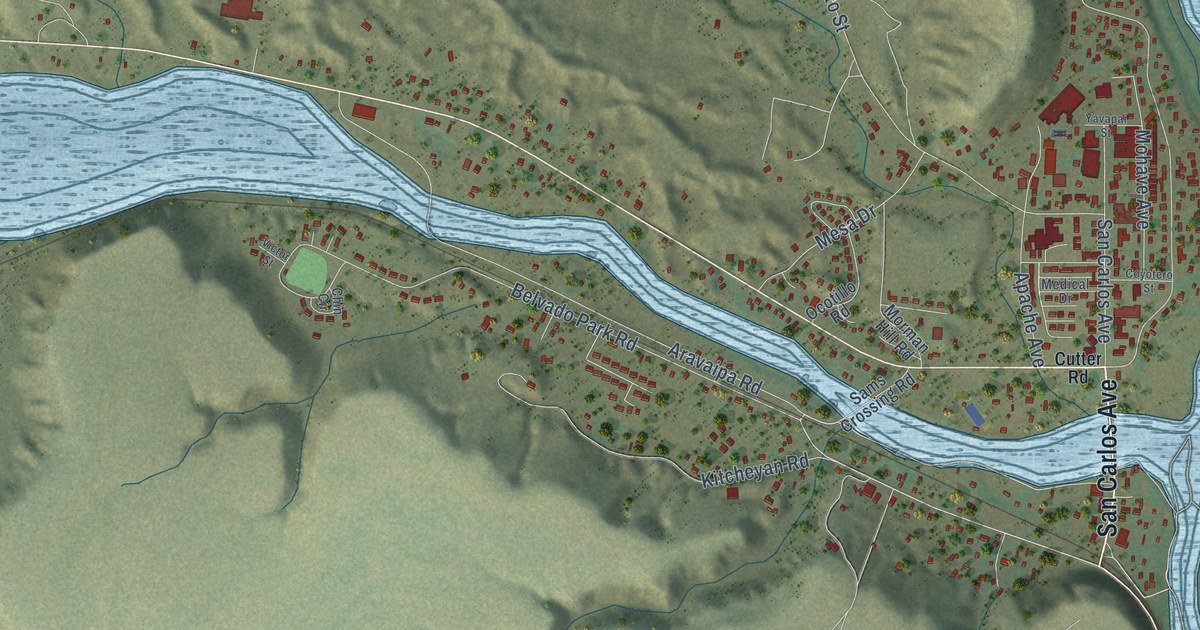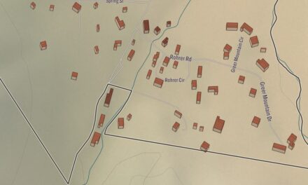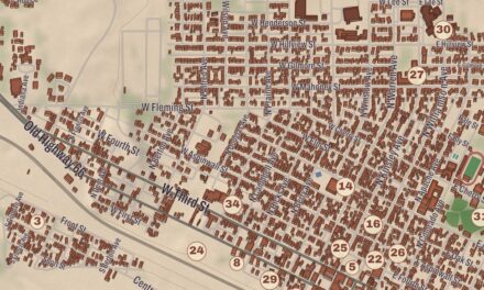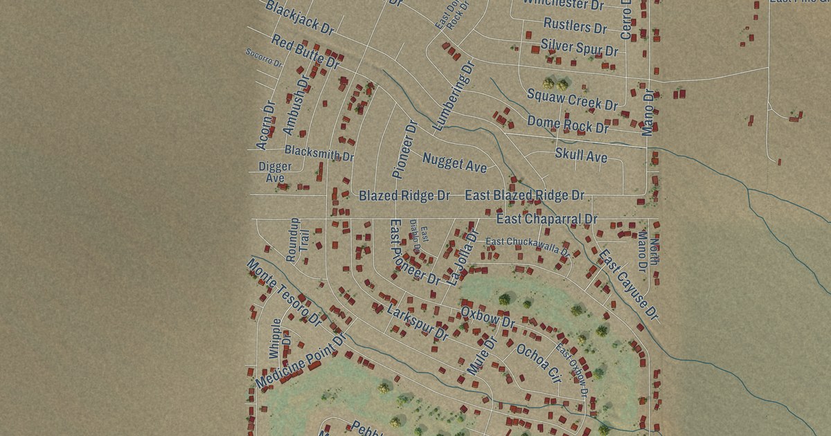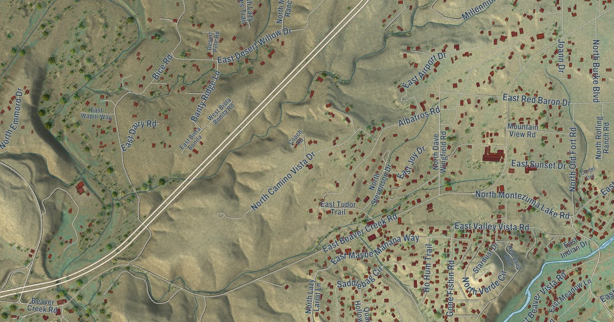
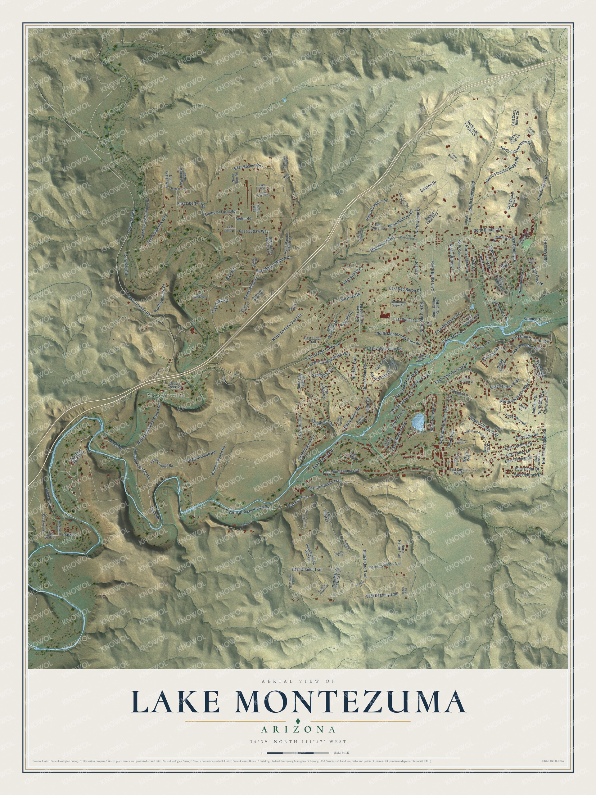
This beautifully detailed map of Lake Montezuma, Arizona was created in 2026 using aerial imagery combined with modern topographical, census, street and landmark data. It’s a one-of-a-kind view of Lake Montezuma that combines accurate data with a vintage aesthetic. The map shows every building in its true location, many of the roads carry their names, and the shaded topographic relief shows the shape of the land.
Explore an aerial view of Lake Montezuma, Arizona
On the map you’ll find McGuireville, along with North Montezuma Avenue, Culpepper Ranch Road, Dyck Road, Reay Road, North Forestglen Road, Johnson Drive, East Maybe Manana Way, North Thunder Ridge Road, North Brocket Ranch Road, East Valley Vista Road, North Canyon Road, and more. Lake Montezuma sits about 6 miles northeast of Camp Verde, 9 miles southeast of Cornville and 12 miles southeast of Verde Village. If you look closely you can even find your house accurately drawn in its correct location. Zoom in on the preview to look for yours.
Take a closer look at the Lake Montezuma map
Names on this map
These names are printed on this map.
Places: McGuireville.
Streets and roads: North Montezuma Avenue, Culpepper Ranch Road, Dyck Road, Reay Road, North Forestglen Road, Johnson Drive, East Maybe Manana Way, North Thunder Ridge Road, North Brocket Ranch Road, East Valley Vista Road, North Canyon Road, East Coronado Trail.
More street names, A to Z
Aka Reay Road 2816, Albatros Road, Banty Ridge Lane, Beaver Creek Road, Beaver Creek School Road, Beaver Lane, Bice Road, Branding Iron Place, Brocket Ranch Road, Canyon Drive, Caren Way, Cayuga Lane, Cll del Oro, Coach Road, Cochise Pass, Cornville Road, Creek Way, Crestview Drive, Cross 2 Ranch Road, Dakota Way, Dandy Dude Drive, Dawson Way, Debbie Lane, Desert Pine Road, Dragonshead Road, Eagle Circle, Eagles Roost Road, East Airport Drive, East Aztec Road, East Beale Lane, East Beaver Creek Road, East Beaver Vista Road, East Bentley Drive, East Bista Bonita, East Camden Pass, East Catclaw Circle, East Cedar Drive, East Chipmunk Hollow, East Cliffside Trail, East Cochise Drive, East Cornville Road, East Coyote Canyon, East Crazy Horse Circle, East Dairy Road, East Deerrun Trail, East Deer Run Trail, East Desert Willow Drive, East Drover Lane, East Geronimo Road, East Goldmine Road, East Goss Drive, East Goss Road, East Indian Drive, East Joy Drive, East Juniper Drive, East Kearney Trail, East Kerry Road, East Kimberlys Way, East Lakeshore Drive, East Lakeside Drive, East Liberty Trail, East Lupine Lane, East Meadow Lane, East Millennium Way, East Montezuma Avenue, East Mosher Road, East Mulcaire Meadows Road, East Navajo Lane, East Orlandi Trail, East Oswego Street, East Outlaw Way, East Park Lane, East Red Baron Drive, East Redrock Drive, East Rimrock Drive, East Sedona View Lane, East Seneca Lane, East Sunset Drive, East Sycamore Lane, East Third Fairway Drive, East Tudor Trail, East Valley Lane, East Violet Court, East Waldron Road, East Wapiti Way, East Yuma Drive, Faith Marina Drive, Falcon View Drive, Forest 119 Road, Forestglen Road, Geronimo Road, Gone Fishin Road, Great Bison Circle, Hidden Hollow, High Star Trail, Ho Hum Trail, Impala Lane, Javalina Trail, Joann Drive, Kramer Drive, Laura Lane, Lavin Lane, Lazy Lariat Lane, Lightfoot, Marks Trail, Millennium Way, Monument Way, Mountain View Road, North Alchise Drive, North Antigua Way, North Avatar Way, North Barbara Lane, North Bentley Drive, North Bice Road, North Brittney Lane, North Burke Boulevard, North Camino Vista Drive, North Cattle Call Trail, North Coconinino Trail, North Compton Place, North Culpepper Ranch Road, North Dave Wingfield Road, North Elm Drive, North Emmord Drive, North Fairway Drive, North Falcon View Drive, North Fort Verde Trail, North Hanover Court, North High View Lane, North Joann Drive, North Kit Carson Trail, North Kramer Drive, North Lazy Bones Trail, North Lazy Lariat Lane, North Lost Canyon Lane, North Marcos de Niza Trail, North Markiah Ranch Road, North Miller Road, North Montezuma Lake Road, North Native Trail, North Old Fort Road, North Patriot Way, North Pine Drive, North Prairie Bell Lane, North Robin Lynn Lane, North Rolling Ranch Road, North Running Wolf Lane, North Stevenson Drive, North Towers Drive, North Valancius Way, North Verde Circle, Padre Kino Trail, Park Lane, Pima Way, Pinyon Pine Circle, Point of View Trail, Popies Way, Quail Hollow Road, Red Sand Boulevard, Roundup Road, Rusty Spurs Road, Saddlebag Circle, Seiler Road, Semper Fi Drive, Sonora Pass, Stagecoach Road, Stardust Drive, Stone Crop Lane, Sunburst Farm Road, Tagalong Trail, Tiemann Lane, Towers Drive, Vicki Lane, View Ridge Road, West Bista Bonita Road, Woolsey Lane.
See it on a wall
The Lake Montezuma map as a framed print. Swipe for more.


This beautifully detailed map of Lake Montezuma makes an attractive addition to your office, library, or den, and it can even be used to teach children the geography and history of the area. It also makes a great gift for someone who left Lake Montezuma and still calls it home. When you’re done exploring, click here to get your copy of the Lake Montezuma map.