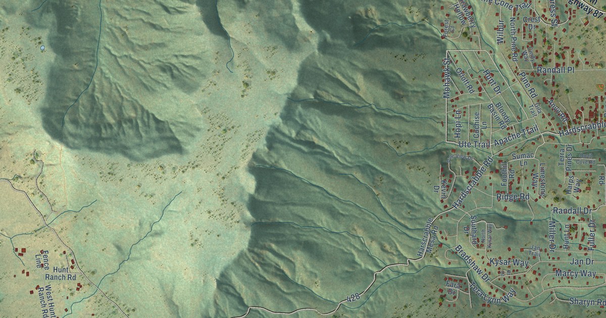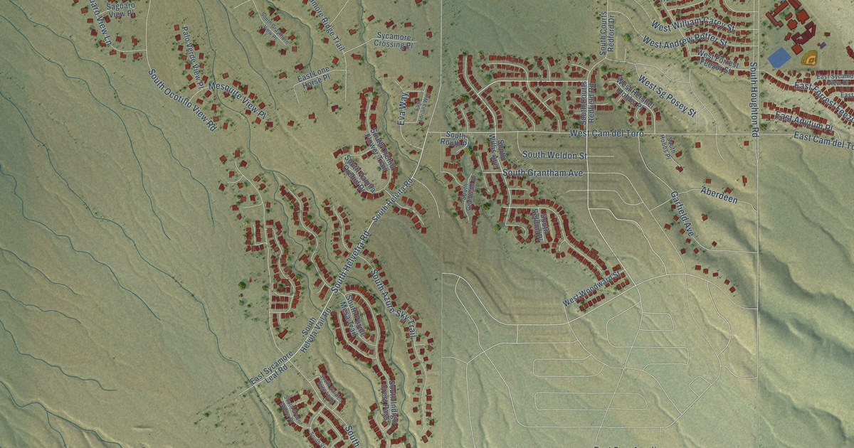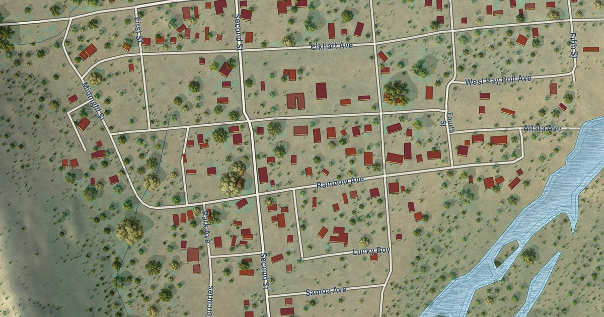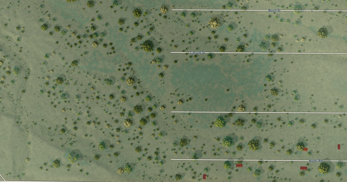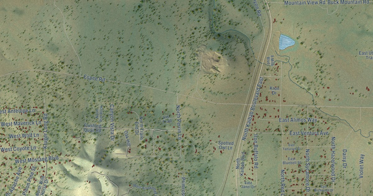
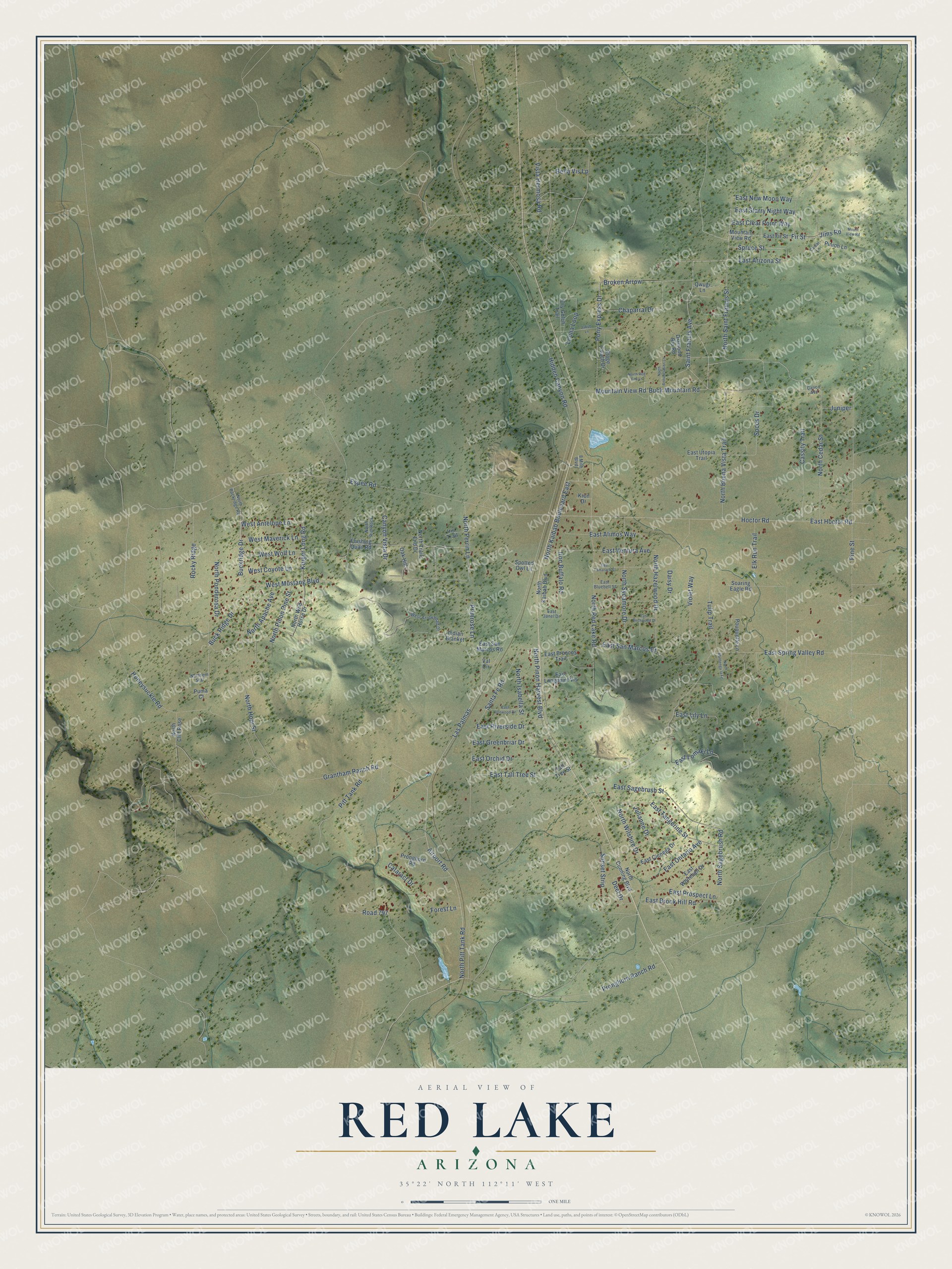
This beautifully detailed map of Red Lake, Arizona was created in 2026 using aerial imagery combined with modern topographical, census, street and landmark data. It’s a one-of-a-kind view of Red Lake that combines accurate data with a vintage aesthetic. The map shows every building in its true location, many of the roads carry their names, and the shaded topographic relief shows the shape of the land.
Explore an aerial view of Red Lake, Arizona
On the map you’ll find Broken Arrow, along with Fir Street, East Starry Night Way, Jims Road, Saint Francis Avenue, Airport Road, North Pitt Tank Road, Pronghorn Ranch Road, Chaparral Drive, Soccs Drive, East San Marcos Drive, East New Moon Way, and more. Red Lake sits about 8 miles north of Williams, 13 miles northwest of Parks and 19 miles east of Kaibab Estates West. If you look closely you can even find your house accurately drawn in its correct location. Zoom in on the preview to look for yours.
Take a closer look at the Red Lake map
Names on this map
These names are printed on this map.
Streets and roads: Fir Street, East Starry Night Way, Jims Road, Saint Francis Avenue, Airport Road, North Pitt Tank Road, Pronghorn Ranch Road, Chaparral Drive, Soccs Drive, East San Marcos Drive, Broken Arrow, East New Moon Way.
More street names, A to Z
8 Mile Boulevard, Bella Vis Lp, Buck Mountain Road, Buckridge Drive, Buck Ridge Drive, Calico Avenue, Canyon Vista Drive, Cassity Trail, Cataract Drive, Cedar Lane, Daisy Drive, Deel Drive, Diamond Rio Road, Dry Gulch Trail, East Alimos Way, East Arizona Street, East Birchwood Drive, East Bluebell Street, East Broncos Trail, East Brook Hill Road, East Cienega Drive, East Clear Point Way, East Fir Street, East Greenbriar Drive, East Hoctor Road, East Ironwood Drive, East Janel Drive, East Lily Lane, East Lomaki Lane, East Longpoint Vis, East Ontario Avenue, East Orchid Drive, East Prospect Lane, East Riverside Drive, East Sagebrush Street, East San Marcos Road, East Spring Valley Road, East Tall Tree Street, East Tamarack Street, East Tangerine Street, East Utopia Trail, East Ventura Avenue, East Whitehall Drive, Elk Run Trail, Espee Road, Flushing Quail Road, Forest Lane, Grantham Ranch Road, Hidden Canyon Road, Hoctor Road, Honeysuckle Road, Indian Blanket, Iris Trail, Iron Buffalo Road, Jakub Lane, Julianne Drive, Juniper, Kron Drive, Kruger Long Road, Las Palmas, Leona Loop, Mountain View Road, Mount View Road, North Annunciation Lane, North Apache Avenue, North Buckridge Road, North Buena Vista Trail, North Cedar Street, North Cliff Rose, North Cunning Boulevard, Northern Star, North Hazelwood Drive, North Hopi Street, North Isabella Street, North Kaibab Boulevard, North Kaibab Boulevard East, North Mantenga la Fe, North Perrin Lane, North Pinon Harvest Boulevard, North Pinon Pine Street, North Ponderosa Drive, North Red Fox Lane, North Red Lake Road, North Rim Rock, North Sagebrush Road, North Saint Francis Street, North Sycamore Drive, North Trails End Drive, North Wild Horse Drive, North Wilshire Drive, Oak Hill, Pine Street, Pinion Lane, Pitt Tank Road, Pony Express Drive, Pouquette Lane, Primrose Lane, Pronghorn Road, Puma Court, Qwugi Lane, Road 797, Rocky Ridge, Santa Fe Road, Soaring Eagle Road, Spotted Owl Lane, Spruce Street, Stage Coach Drive, Sunset Strip, Tall Tree Street, Tulip Trail, Val Circle, Violet Way, Vista Hermosa Road, West Antelope Lane, West Arrowhead Drive, West Coyote Lane, West Maverick Lane, West Mustang Boulevard, West Wolf Lane.
See it on a wall
The Red Lake map as a framed print. Swipe for more.


This beautifully detailed map of Red Lake makes an attractive addition to your office, library, or den, and it can even be used to teach children the geography and history of the area. It also makes a great gift for someone who left Red Lake and still calls it home. When you’re done exploring, click here to get your copy of the Red Lake map.