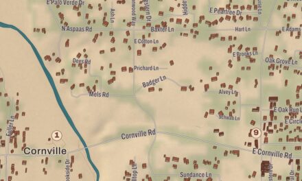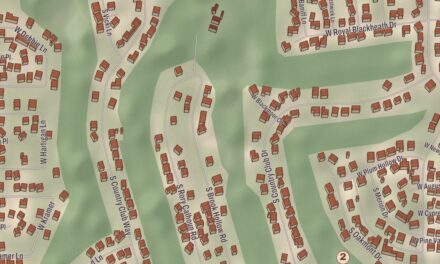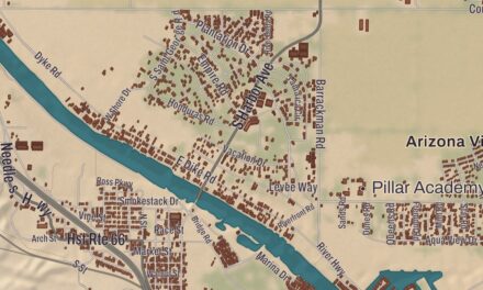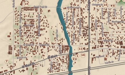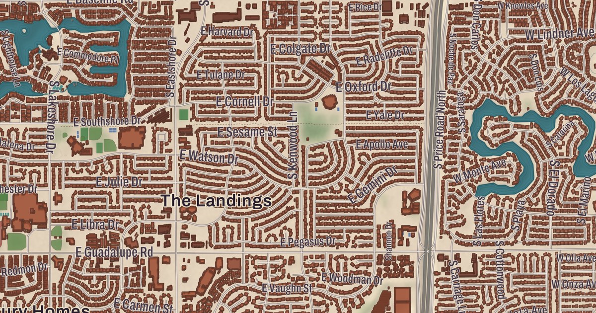
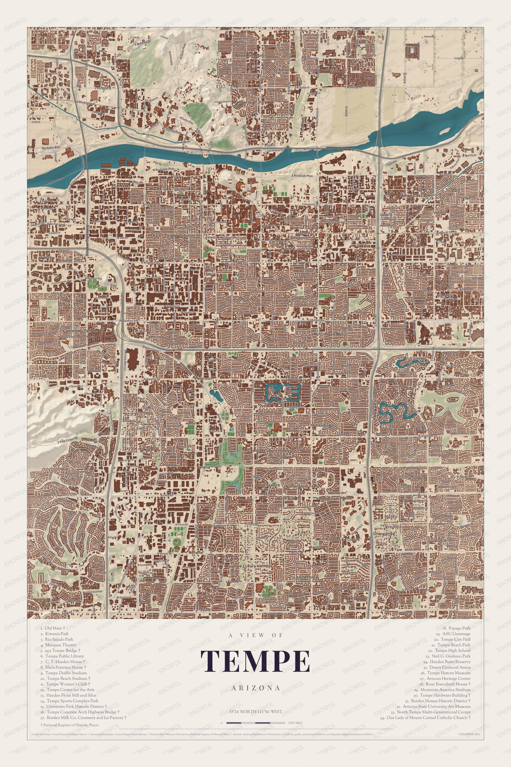
Tempe got its name from a butte by the Salt River and a valley in Greece. This map of Tempe prints Our Lady of Mount Carmel Catholic Church, the Tempe Hardware Building, the Borden Milk Co. Creamery and Ice Factory and the University Park Historic District, from Renaissance out to McClintock Manor, with Hayden Butte, Bell Butte and Twin Butte giving shape to the land.
Tempe is a city in Maricopa County, home to the main campus of Arizona State University.
KNOWOL made this map in 2026 and gave modern data the look of a vintage atlas. The shaded relief of Bell Butte, Hayden Butte and Twin Butte comes from United States Geological Survey elevation data, and the streets were drawn from Census Bureau files. Historic sites such as the C. T. Hayden House, Our Lady of Mount Carmel Catholic Church and the Tempe Concrete Arch Highway Bridge were confirmed against the National Park Service and the National Register of Historic Places. In O’odham the city is called Oidbaḍ, and the 2020 census counted 180,587 people here.
Hayden’s Ferry and the Vale of Tempe
The Hohokam lived here first and built canals for their farms, leaving their settlements in the 15th century. After Fort McDowell was established on the upper Salt River in 1865, soldiers and Hispanic workers hired to grow food and feed for the fort made small camps near the river, which the city’s page counts as the first permanent communities in the Valley after the Hohokam. One was Hayden’s Ferry, named for the ferry Charles T. Hayden ran, and the other was San Pablo, on the west and east sides of Hayden Butte. The ferry became the key river crossing in the area. Hayden used his land along the south bank for a cable ferry, a grist mill and a general store, and the remains of his Hayden Flour Mill, which gave Mill Avenue its name, still stand near the west edge of the butte. Pioneer Darrell Duppa is credited with suggesting the name Tempe, adopted in 1879, after he compared the valley near the butte to the Vale of Tempe near Mount Olympus in Greece.
Hayden pushed for a teachers’ school, and in 1885 the 13th Arizona Territorial Legislature chose Tempe for the Territorial Normal School, which became Arizona State University. The Maricopa and Phoenix Railroad crossed the Salt River at Tempe in 1887, and the Maricopa County Board of Supervisors incorporated the town in 1894. For about 90 years after its founding Tempe was a sundown town, where African Americans could work but had to live elsewhere; in 1965 Warren and Carol Livingston, an African American couple, bought property in Tempe, a milestone the city’s page records.
Click to explore a larger preview. The digital watermark does not appear on printed maps.
Names on this map
These names are printed on this map.
Streets and roads: Sky Harbor Blvd, W Rio Salado Pkwy, S River Dr, E Washington St, W Center Pkwy, N Galvin Pkwy, E Continental Dr, E Rio Salado Pkwy, Cubs Way, N 92nd St, El Campo, S Westcourt Way.
More street names, A to Z
E Carver Rd, E Superior Ave, Mountain Vista Park, Ray Rd, S River Pkwy, S The Landings, W Ray Rd, W Warner Rd.
Old Tempe on the sheet
The C. T. Hayden House, also called La Casa Vieja, “the old house,” was built in the early 1870s as a Mexican adobe home for the Hayden family, and Carl Hayden, later Arizona’s longtime senator, was born in it. The family moved out in 1889, and it was a boarding house until 1924, when it became a restaurant; Leonard Monti bought it in 1954 and ran Monti’s La Casa Vieja until 2014. Its page describes it as the oldest occupied structure in the Salt River Valley. The butte the city named Hayden Butte in 1961, for Charles and Carl Hayden, is the one most people call A Mountain, for the gold letter A on its south face; the U.S. Geological Survey still calls it Tempe Butte, and its O’odham name, ʼOidbaḍ Doʼag, means “Dead Field Mountain.” Bell Butte and Twin Butte stand on Tempe’s western edge.
The Tempe Hardware Building on Mill Avenue was listed on the National Register in 1980, and it’s one of the surviving works of the architect Creighton, who also designed the Pinal County Courthouse. Our Lady of Mount Carmel Catholic Church, also known as St. Mary’s Church, was built in 1903. The Borden Milk Co. Creamery and Ice Factory began as an ice plant and was changed to bottle pasteurized milk too; it ran under the Borden name from 1927 until it closed in 1953, and it stood empty until it reopened as the Four Peaks Brewery. Its nine red brick Mission Revival buildings were listed on the National Register in 1984, and the city named a new park Creamery Park in 1999.
Around the map
The Salt River runs west through the north part of the city, dammed in two places to make Tempe Town Lake. Tempe hosted the Fiesta Bowl from 1971 to 2006, a Super Bowl was played at Sun Devil Stadium, and the Los Angeles Angels have held spring training at Tempe Diablo Stadium since 1993. In the 1980s and 1990s the city had a thriving alternative music scene that produced the Gin Blossoms, the Meat Puppets and The Refreshments, and the Tempe Music Walk sets plaques in the Mill Avenue sidewalk for honorees such as Walt Richardson and Hans Olson. The University Park Historic District, the Tempe Concrete Arch Highway Bridge, Renaissance and McClintock Manor have their places on the sheet as well.
This Tempe map makes a good addition to an office, library or den, and it can help teach children the geography and history of the area. It’s made for anyone who calls Tempe home, below A Mountain, and KNOWOL created it in 2026 to show the city as it looks today. Zoom in on the preview above to explore the details, then click here to get your copy of the Tempe map.

Sources