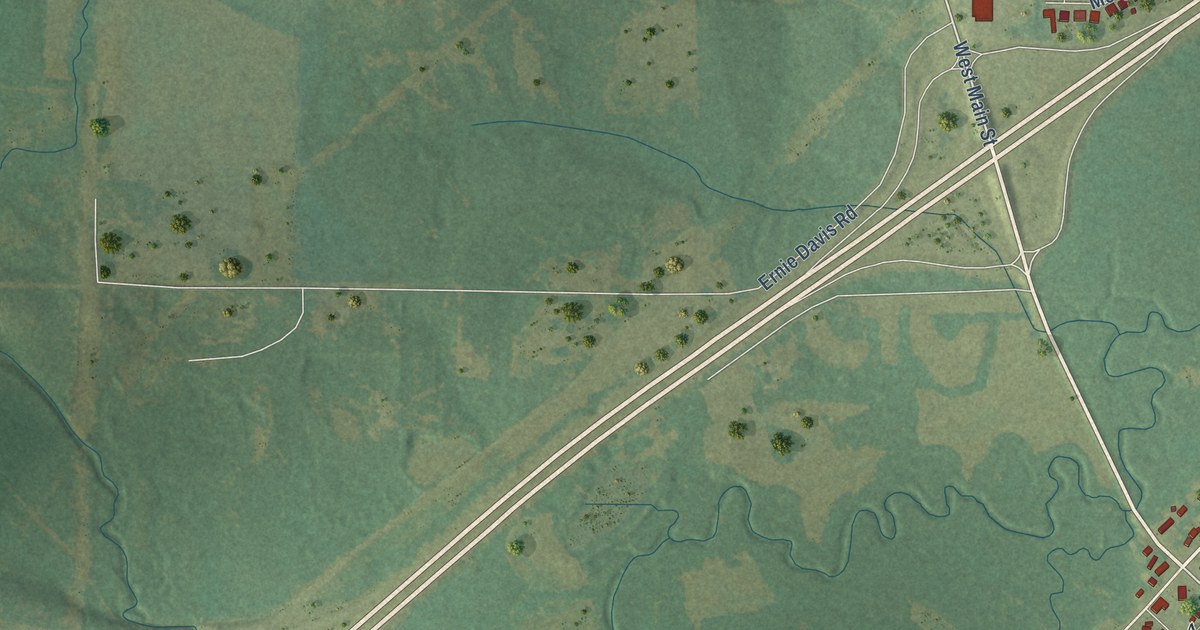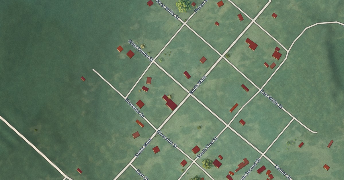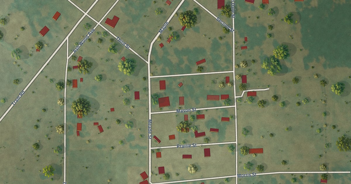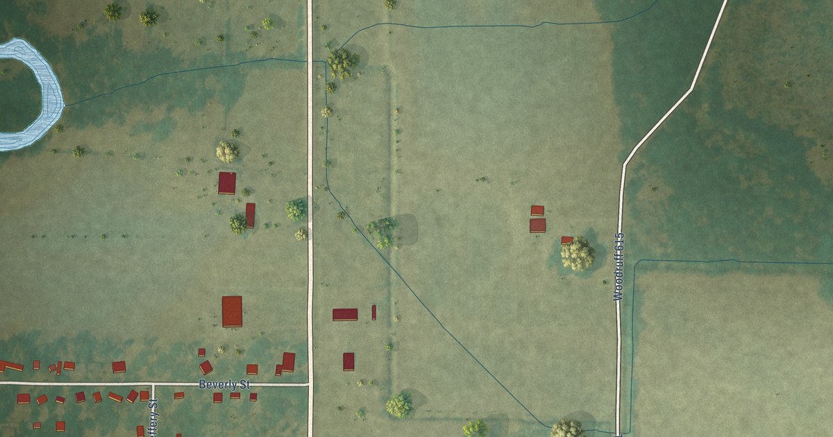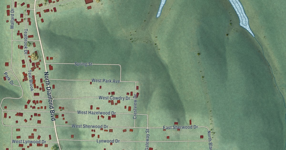
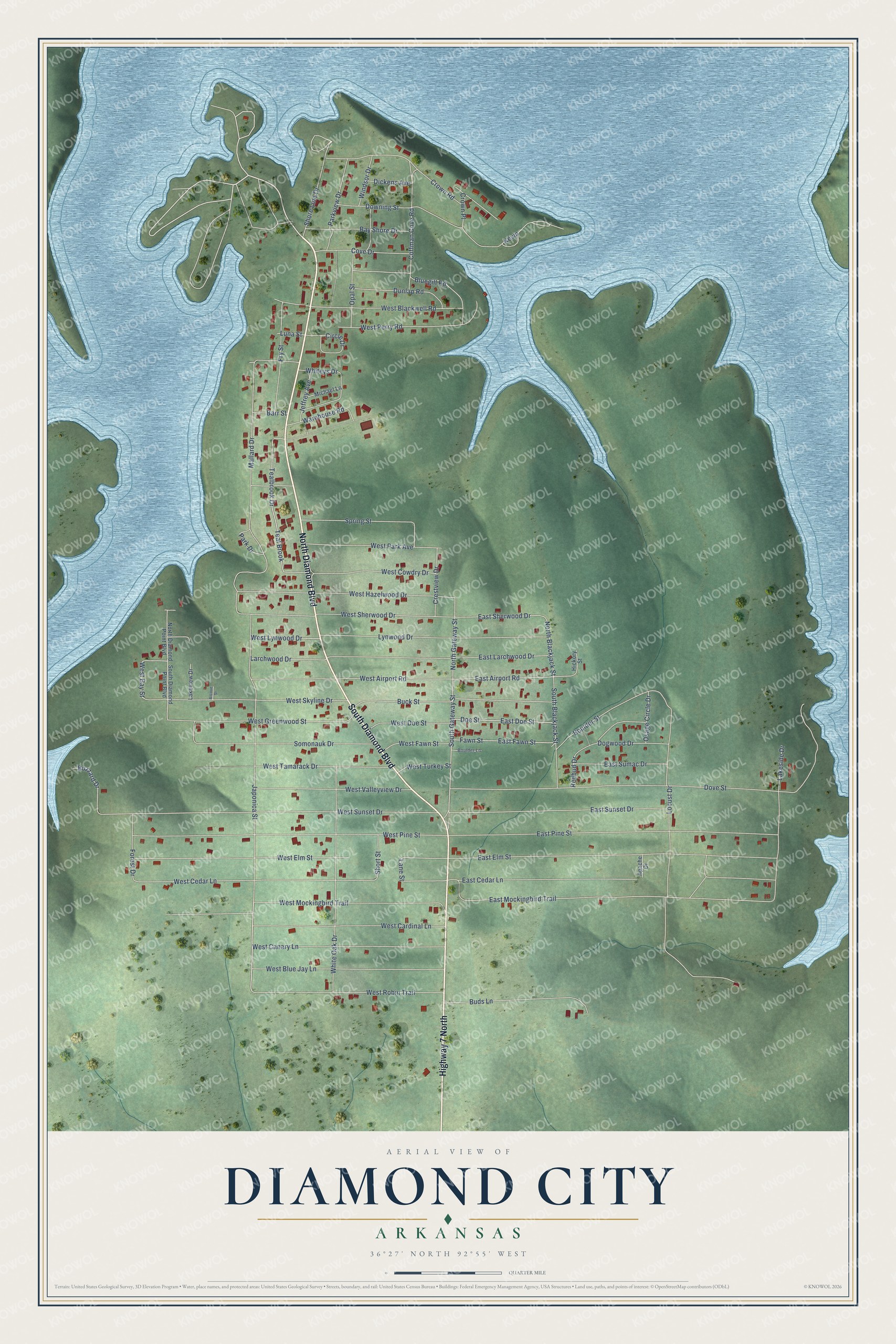
This beautifully detailed map of Diamond City, Arkansas was created in 2026 using aerial imagery combined with modern topographical, census, street and landmark data. It's a modern aerial view of Diamond City in Boone County, Arkansas, that combines modern data with a vintage aesthetic. The roads feature printed names, and if you look closely you can find your exact house accurately shown in its correct location.
Explore an aerial view of Diamond City, Arkansas
On this map you'll find North Diamond Boulevard, South Diamond Boulevard, Highway 7 North, South Gateway Street, Larchwood Drive, East Airport Road, North Gateway Street, Lane Street, West Bay Street, West Cedar Lane, West Elm Street, Mallard Drive, and more. Each red shape is a building, so zoom in on the preview and look for yours.
Here is a piece of Diamond City history, in the words of the record. The CALS Encyclopedia of Arkansas puts it this way: "A small settlement was beginning to develop on West Sugarloaf Creek where it flowed into the White River when a steamboat first arrived in June 1851. The people reportedly chose to name the settlement Dubuque after hearing that Dubuque, Iowa, was the hometown of the steamboat pilot who stopped there."
Diamond City is a city in Boone County.
Take a closer look at the Diamond City map
Names on this map
These names are printed on this map.
Streets and roads: North Diamond Boulevard, South Diamond Boulevard, Highway 7 North, South Gateway Street, Larchwood Drive, East Airport Road, North Gateway Street, Lane Street, West Bay Street, West Cedar Lane, West Elm Street, Mallard Drive.
More street names, A to Z
Alcove Street, Apache Drive, Barr Street, Bay Shore Drive, Bluegill Road, Boulder Lane, Boulder Street, Buck Street, Buds Lane, Buzzard Drive, Circle Drive, Coffman Cove Road, Cove Drive, Crestview Drive, Crown Place, Crown Road, Dickens Avenue, Doe Street, Dogwood Drive, Dove Street, Downing Street, Dunlap Road, East Cedar Lane, East Doe Street, East Elm Street, East Fawn Street, East Larchwood Drive, East Mockingbird Trail, East Pine Street, East Sherwood Drive, East Sumac Drive, East Sunset Drive, Fawn Street, Forest Drive, Fry Street, Hickory Street, Japonica Street, Jeffrey Avenue, Kevin, Lakeside Drive, Lakeview Drive, Locust Drive, Luna Street, Lynwood Drive, Michael Lane, North Blackjack Street, North Diamond Point Boulevard, Opal Street, Osage Circle Drive, Park Drive, Parkview Drive, Redbud Drive, Shore Line Drive, Short Street, Somonauk Drive, South Blackjack Street, South Diamond Point Boulevard, Spring Street, Teal Brook, Tealbrook Drive, Warehouse Road, West Airport Road, West Blackwell Road, West Blue Jay Lane, West Canary Lane, West Cardinal Lane, West Cowdry Drive, West Doe Street, West Fawn Street, West Greenwood Street, West Hazelwood Drive, West Lynwood Drive, West Mockingbird Trail, West Park Avenue, West Perry Road, West Pine Street, West Robin Trail, West Sherwood Drive, West Skyline Drive, West Sunset Drive, West Tamarack Drive, West Turkey Street, West Valleyview Drive, White Oak Drive, Whiteys Drive, Windsor Drive.
Created by KNOWOL in 2026. The buildings are small red shapes, the roads carry their printed names, and shaded relief shows the shape of the land. The title panel reads "AERIAL VIEW OF DIAMOND CITY ARKANSAS" with 36°27' NORTH 92°55' WEST.
It suits a den, a classroom or a front hall, and it makes a gift for anyone with Diamond City roots. Open the preview and find the block you know. See sizes and frames for the Diamond City map.