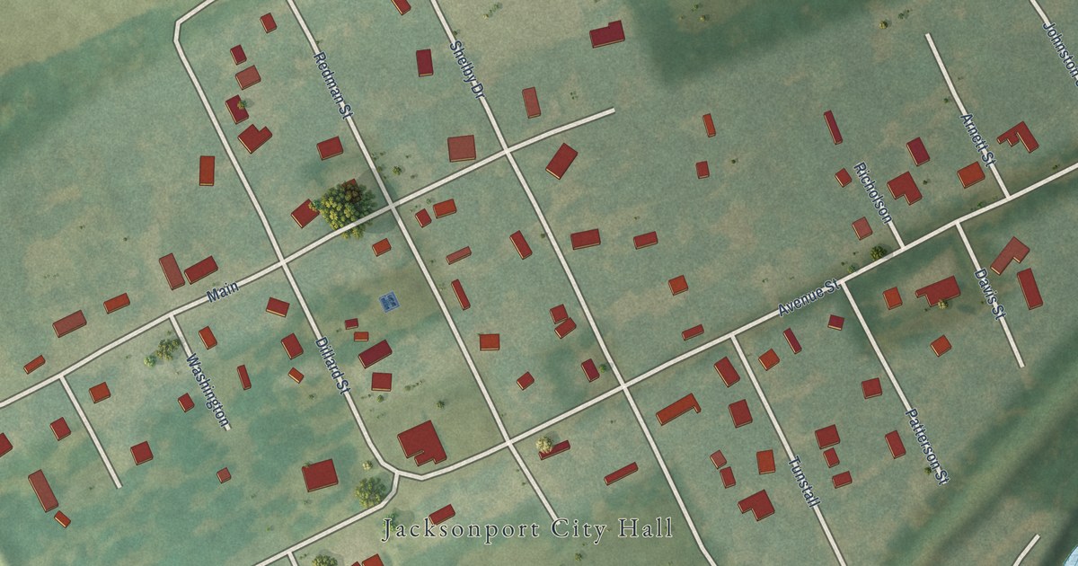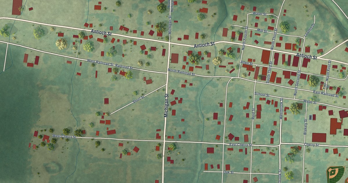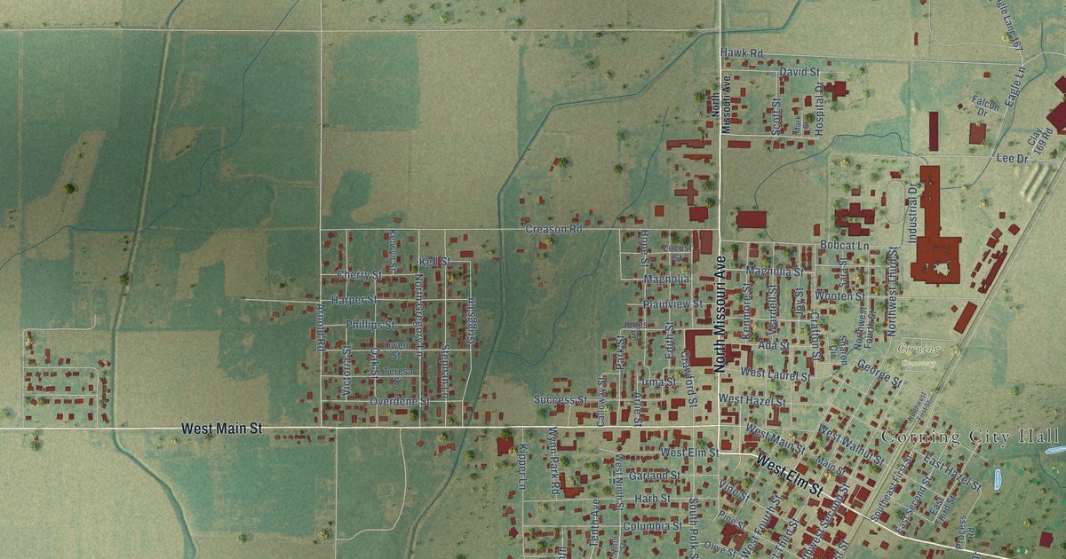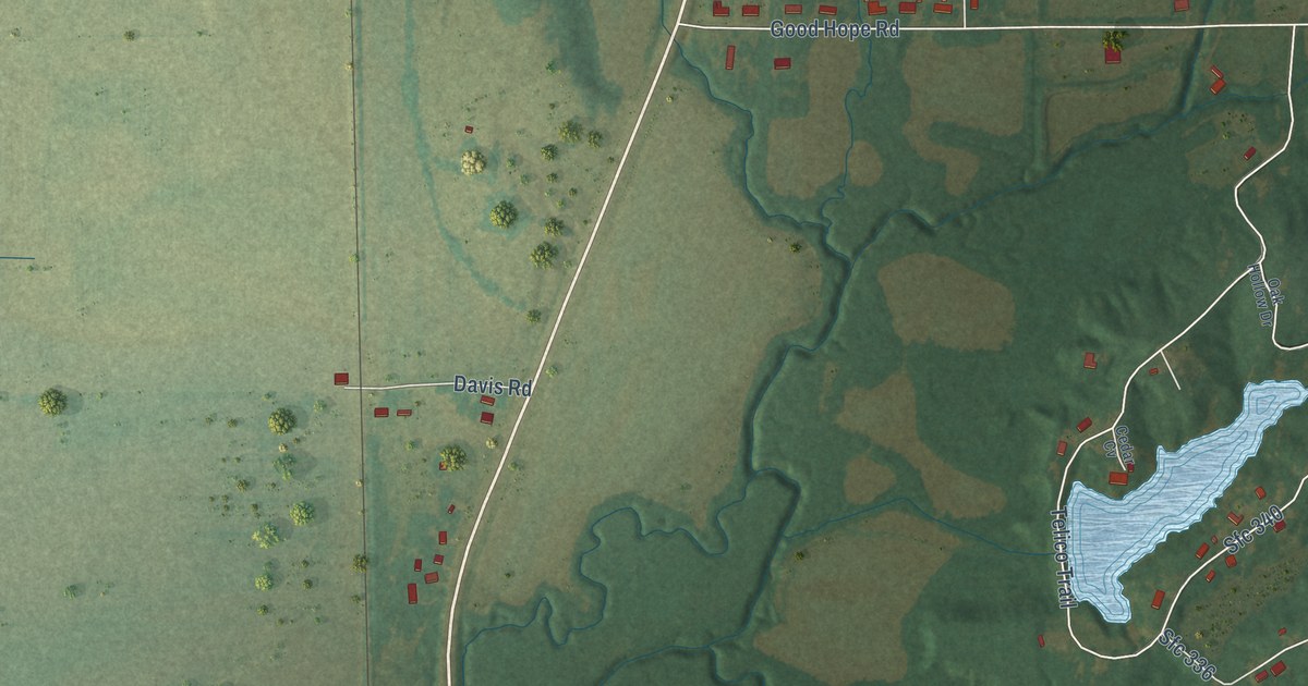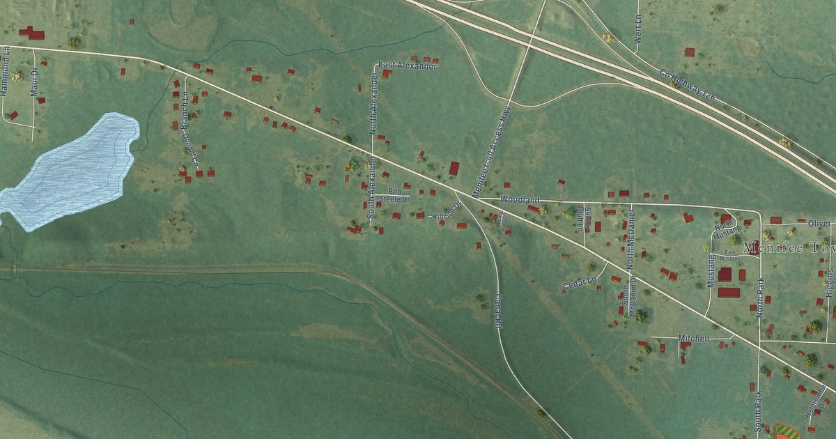
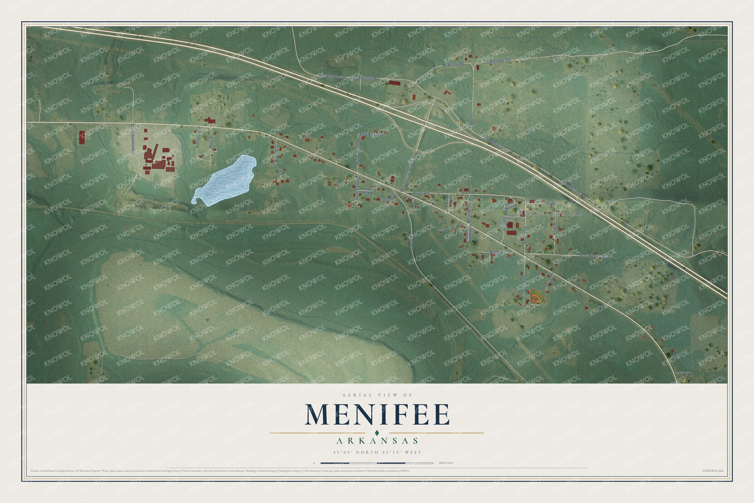
This beautifully detailed map of Menifee, Arkansas was created in 2026 using aerial imagery combined with modern topographical, census, street and landmark data. It's a modern aerial view of Menifee in Conway County, Arkansas, that combines modern data with a vintage aesthetic. The roads feature printed names, and if you look closely you can find your exact house accurately shown in its correct location.
Explore an aerial view of Menifee, Arkansas
On this map you'll find Menifee Town Hall, North Park, Woodland, Menifee I- 40 Access Highway, North Alexander, Bell Mountain Road, Co Highway 59, Cadron Creek Road, Co Highway 126, Co Highway 302, McWilson Road, East Hines, and more. Each red shape is a building, so zoom in on the preview and look for yours.
Here is a piece of Menifee history, in the words of the record. The CALS Encyclopedia of Arkansas puts it this way: "Menifee and his son, Dr. Lewis Menifee, organized a large plantation in addition to a river crossing known as Menifee Ferry. The Menifee family provided the right-of-way for the development of the railroad, and when completed in 1873, the designated stop and post office were named in honor of Dr. Nimrod Menifee."
Menifee is a town in Conway County.
Take a closer look at the Menifee map
Names on this map
These names are printed on this map.
Places: Menifee Town Hall, North Park and South Park.
Streets and roads: Woodland, Menifee I- 40 Access Highway, North Alexander, Bell Mountain Road, County Highway 59, Cadron Creek Road, County Highway 126, County Highway 302, McWilson Road, East Hines, Hines, South Hammond Lane.
More street names, A to Z
Bob Steele Drive, Branch Lane, Canal Road, Cedar Lane, Donald Circle, East Alexander, East Mustang, Halcrombe Drive, Hammond Lane, Higgins, Hillside Drive, Maui Drive, Mitchell, Mustang, North McDaniel, North Mustang, Oliver, Post Oak Drive, Senior Adult Lane, South Alexander, South McDaniel Drive, Talley Drive, Wert Lane.
Created by KNOWOL in 2026. The buildings are small red shapes, the roads carry their printed names, and shaded relief shows the shape of the land. The title panel reads "AERIAL VIEW OF MENIFEE ARKANSAS" with 35°09' NORTH 92°33' WEST.
It suits a den, a classroom or a front hall, and it makes a gift for anyone with Menifee roots. Open the preview and find the block you know. See sizes and frames for the Menifee map.