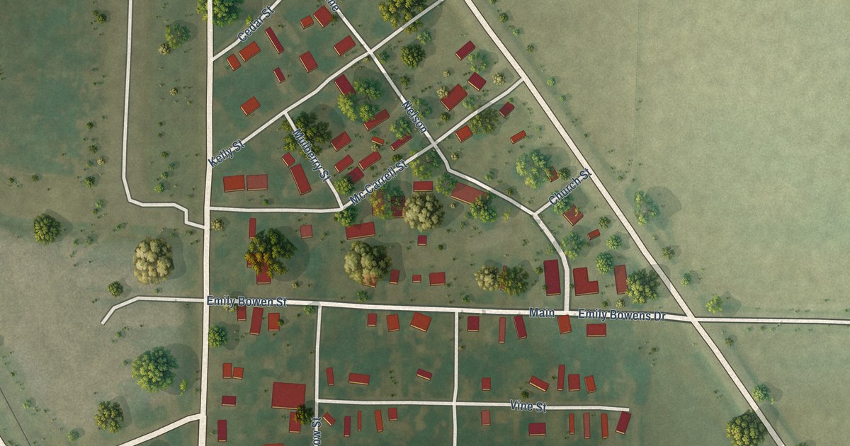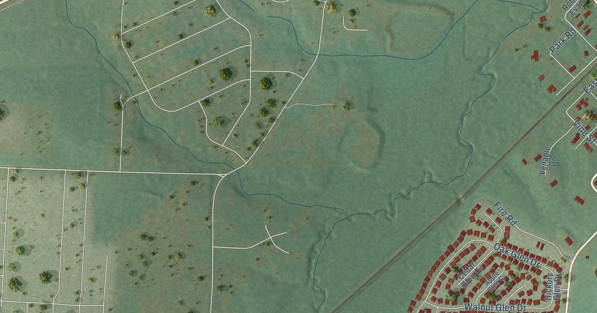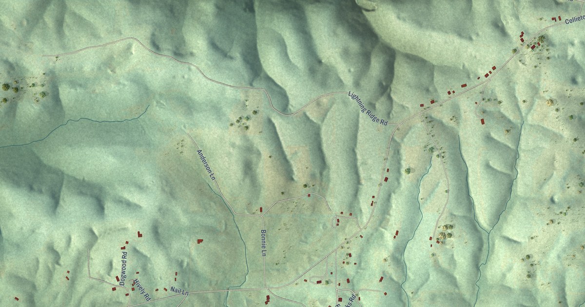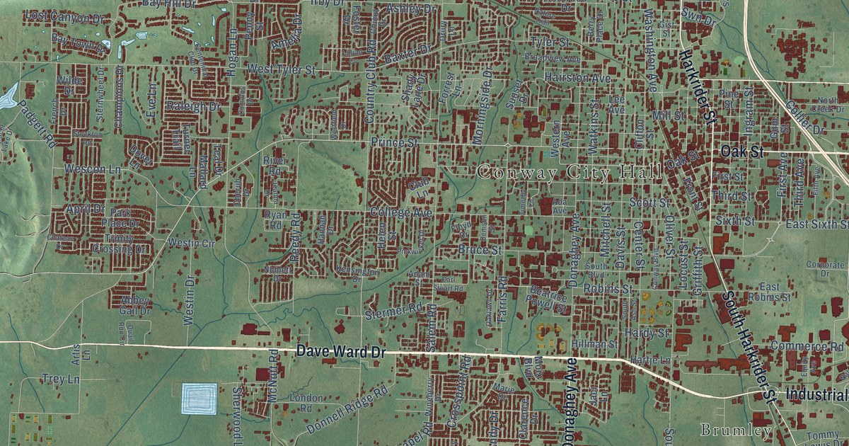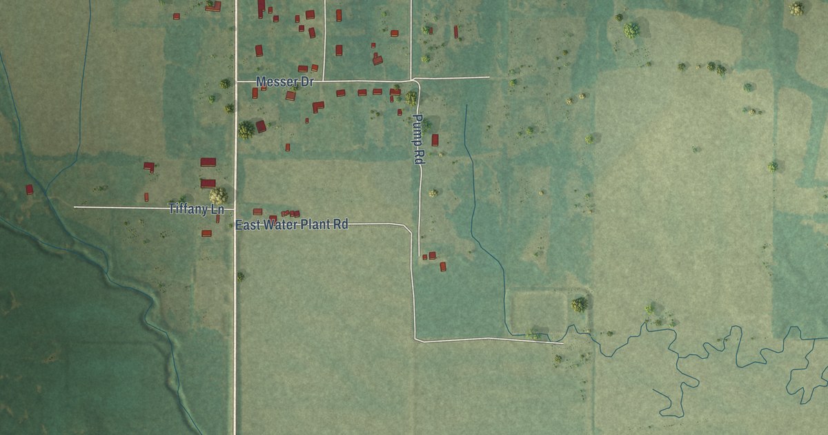
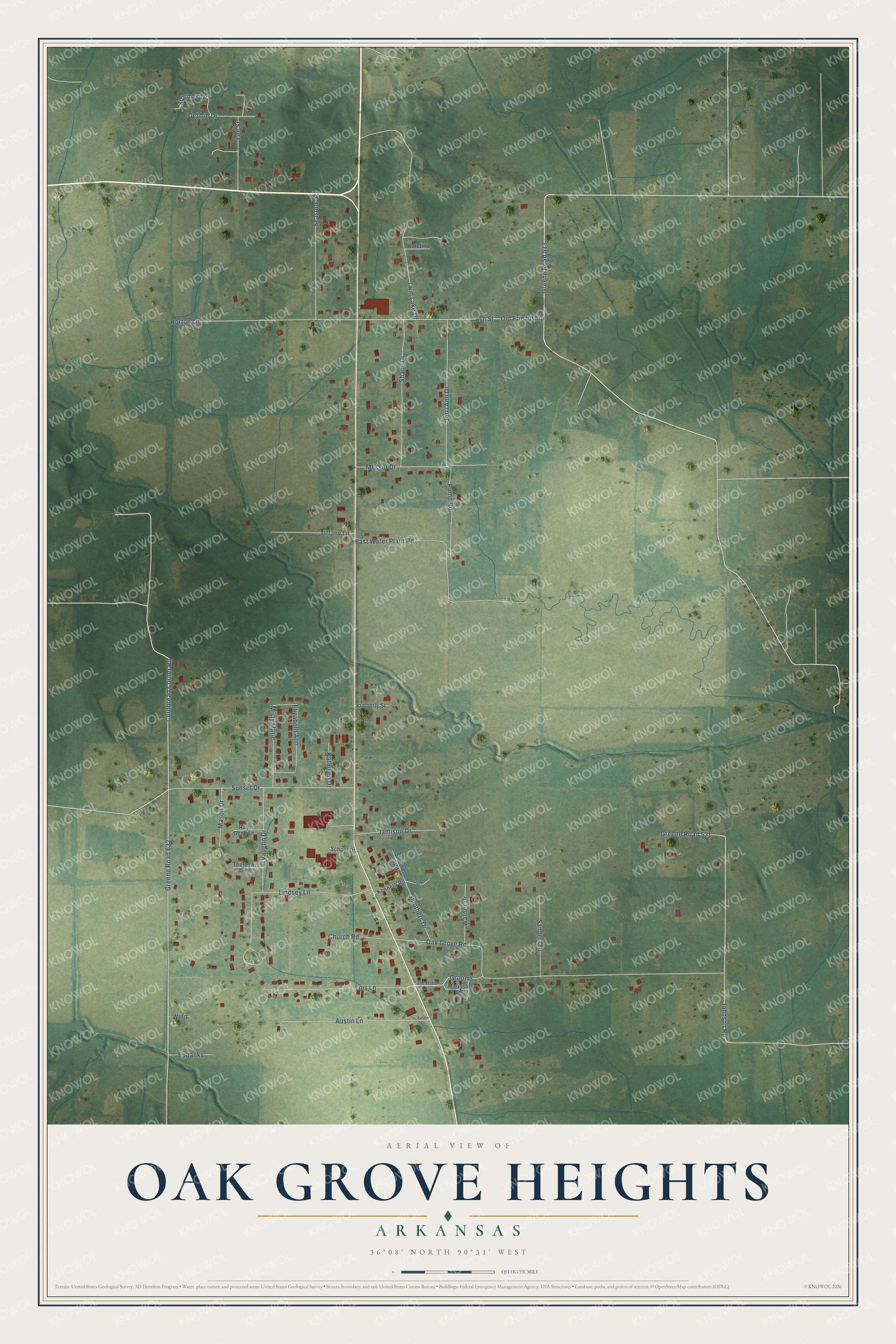
This beautifully detailed map of Oak Grove Heights, Arkansas was created in 2026 using aerial imagery combined with modern topographical, census, street and landmark data. It's a modern aerial view of Oak Grove Heights in Greene County, Arkansas, that combines modern data with a vintage aesthetic. The roads feature printed names, and if you look closely you can find your exact house accurately shown in its correct location.
Explore an aerial view of Oak Grove Heights, Arkansas
On this map you'll find Greene Road 513, Cornbread Corner Road, Greene Road 632, Oak Grove Road, Greene Road 521, Johnson Road, Vaughn Drive, East Water Plant Road, Horton Lane, Ash Street, Old Friendship, Sunset Drive, and more. Each red shape is a building, so zoom in on the preview and look for yours.
Oak Grove Heights has a story worth telling. The Encyclopedia of Arkansas puts it this way: "A gathering of Methodists in a grove of oak trees led to the naming of the community of Oak Grove in the 1870s. Among those settlers of Oak Grove were the Methodist preacher and circuit rider D. B. Warren and farmer Bill Walden."
Oak Grove Heights is a city in Greene County.
Take a closer look at the Oak Grove Heights map
Names on this map
These names are printed on this map.
Streets and roads: Greene Road 513, Cornbread Corner Road, Greene Road 632, Oak Grove Road, Greene Road 521, Johnson Road, Vaughn Drive, East Water Plant Road, Horton Lane, Ash Street, Old Friendship, Sunset Drive.
More street names, A to Z
Austin Drive, Austin Lane, Church Road, Debbie Drive, Elizabeth Ann, Eubanks, Grooms, Jamison Drive, Jerri Ann Drive, Katelin Lane, Kathleen Drive, Kenneth Road, Kenneth Street, Kimberly Street, Lancaster Drive, Lee Street, Lindsey Lane, Lois Lane, Marissa Street, Mason Drive, Messer Drive, Misty Marie, Pump Road, Ray Gene Lane, Sanders Drive, School Drive, Seasons Street, Shane Drive, Smothers Drive, Smothers Road, Stormes Drive, Theresa Ann, Tiffany Lane, Twin Lake Drive, Warner Drive, Winn.
Created by KNOWOL in 2026. The buildings are small red shapes, the roads carry their printed names, and shaded relief shows the shape of the land. The title panel reads "AERIAL VIEW OF OAK GROVE HEIGHTS ARKANSAS" with 36°08' NORTH 90°31' WEST.
It looks right in a kitchen, an office or a den, and it's a gift for anyone who grew up in Oak Grove Heights or moved away. Open the preview and find your street. See sizes and frames for the Oak Grove Heights map.