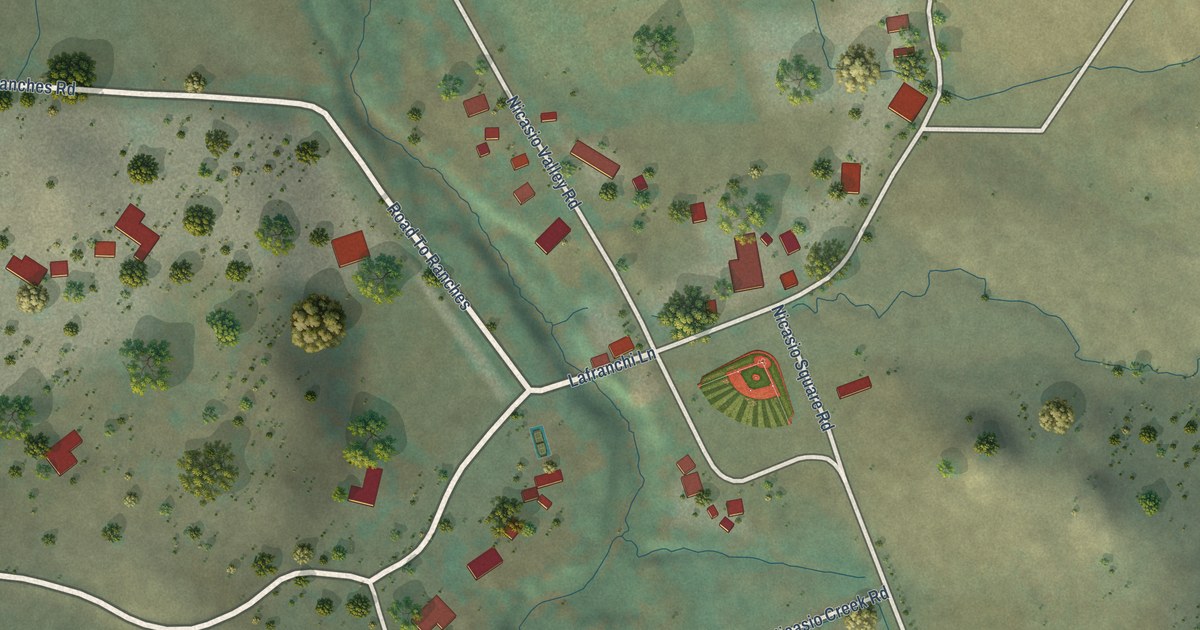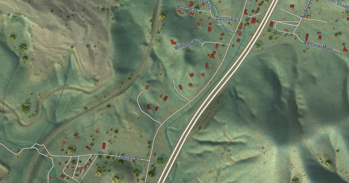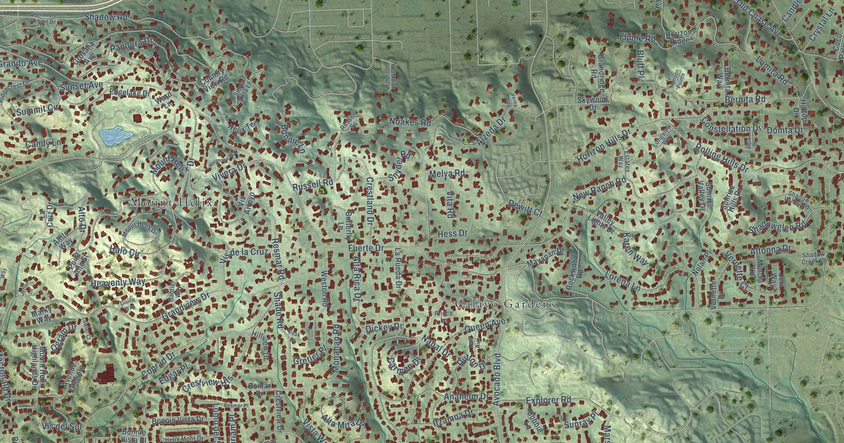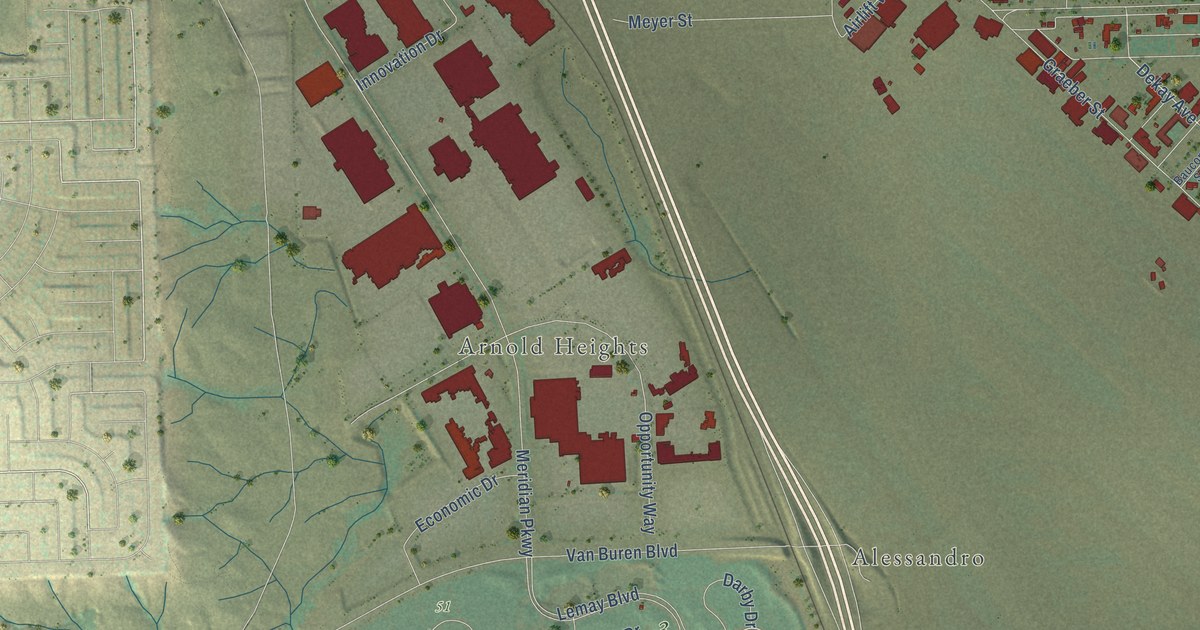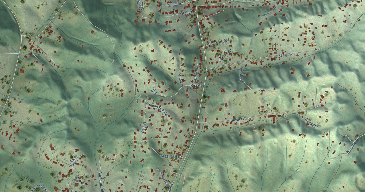
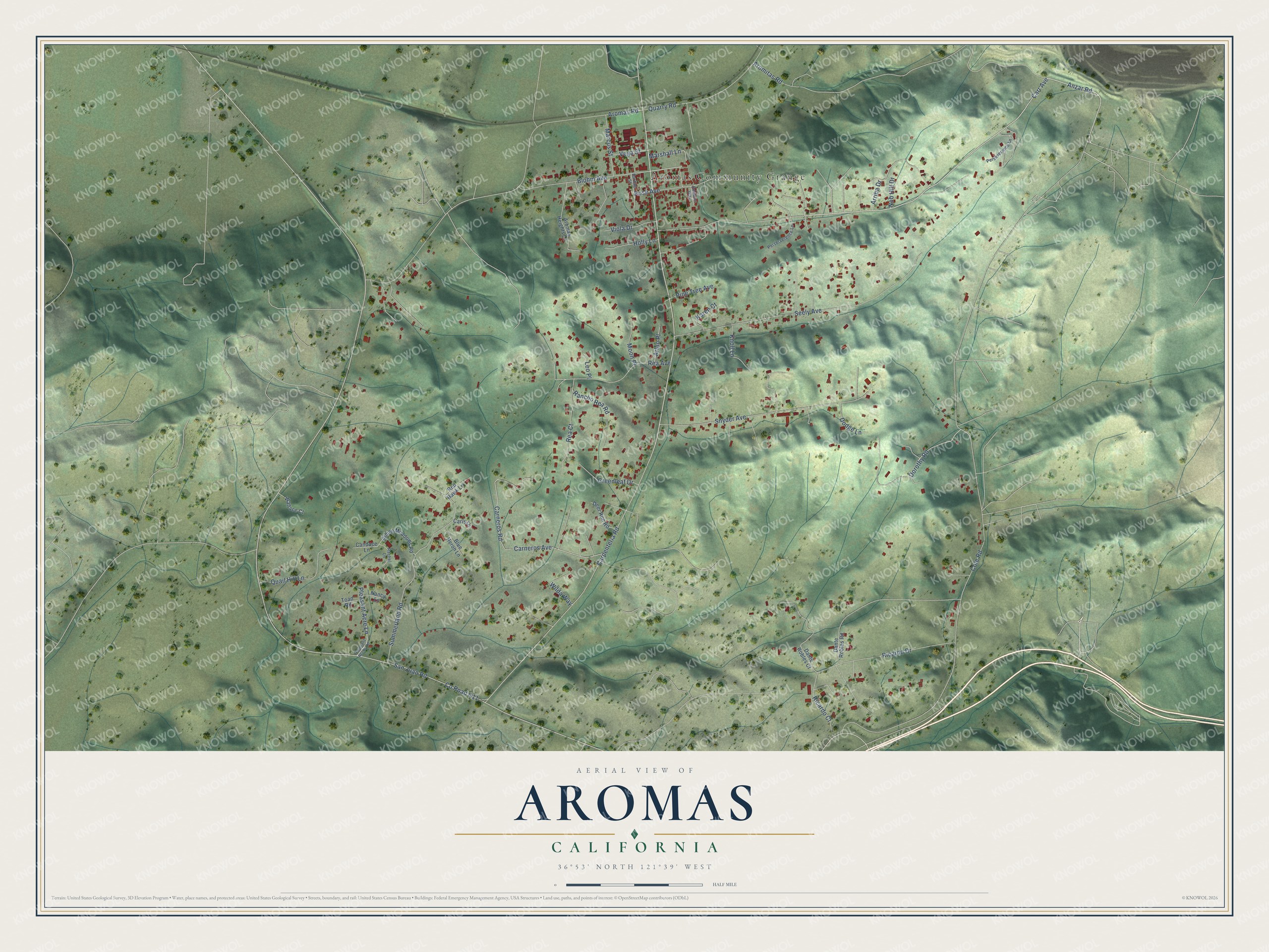
This beautifully detailed map of Aromas, California was created in 2026 using aerial imagery combined with modern topographical, census, street and landmark data. It's a modern aerial view of Aromas in San Benito County, California, that combines modern data with a vintage aesthetic. The roads feature printed names, and if you look closely you can find your exact house accurately shown in its correct location.
Explore an aerial view of Aromas, California
On this map you'll find Aromas Community Grange, Carr Avenue, Anzar Road, Cole Road, Dorothy Road, Quarry Road, Carpenteria Road, Co Road G11, San Juan Road, Aromas Road, Aromitas Road, Seely Avenue, and more. Each red shape is a building, so zoom in on the preview and look for yours.
Aromas is a community in San Benito County. The Census Bureau counted 2,708 people here in 2020. Aromas sits about 5 miles north of Prunedale, 6 miles west of San Juan Bautista and 6 miles east of Las Lomas. The map prints the town name in its title panel, with the coordinates below it.
Take a closer look at the Aromas map
Names on this map
These names are printed on this map.
Places: Aromas Community Grange.
Streets and roads: Carr Avenue, Anzar Road, Cole Road, Dorothy Road, Quarry Road, Carpenteria Road, County Road G11, San Juan Road, Aromas Road, Aromitas Road, Seely Avenue, Carneros Avenue.
More street names, A to Z
Aimee Meadows Road, Arlon Place, Aromas Heights Lane, Arriba Drive, Bardue Street, Blohm Avenue, Blue Heron Lane, Candace Lane, Caris Lane, Carneros Road, Dante Robles Court, Dante Robles Road, Deer Run Road, Dodge Lane, Greenleaf Drive, Holly Lane, Karen Court, Knoll Lane, Leo Place, Marcus Street, Marshall Lane, Moon Place, Nancy Lane, Nob Hill Drive, Perserverence Lane, Perseverance Lane, Pine Tree Avenue, Pleasant Acre Lane, Pleasant Acres Lane, Quail Hill Lane, Rachel Lane, Rancho Rea Road, Rea Avenue, Rea Court, Red Hawk Lane, Ricardo Court, Ricardo Drive, Robbins Way, Rose Avenue, Snyder Avenue, Summerland Road, Toad Road, Vega Street, Viola Drive, Wallace Court, Wilda Way.
See it on a wall
The Aromas map as a framed print. Swipe for more.


Created by KNOWOL in 2026. The buildings are small red shapes, the roads carry their printed names, and shaded relief shows the shape of the land. The title panel reads "AERIAL VIEW OF AROMAS, CALIFORNIA" with 36°53' NORTH 121°39' WEST.
It looks right in a kitchen, an office or a den, and it's a gift for anyone who grew up in Aromas or moved away. Open the preview and find your street. See sizes and frames for the Aromas map.