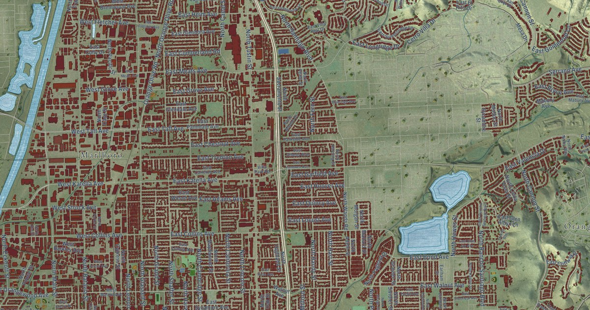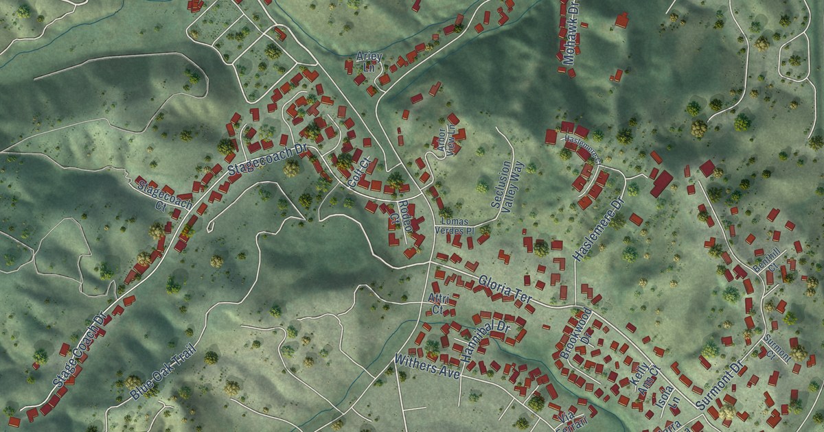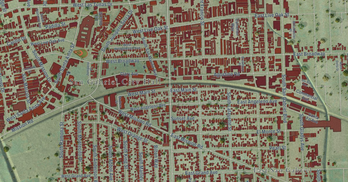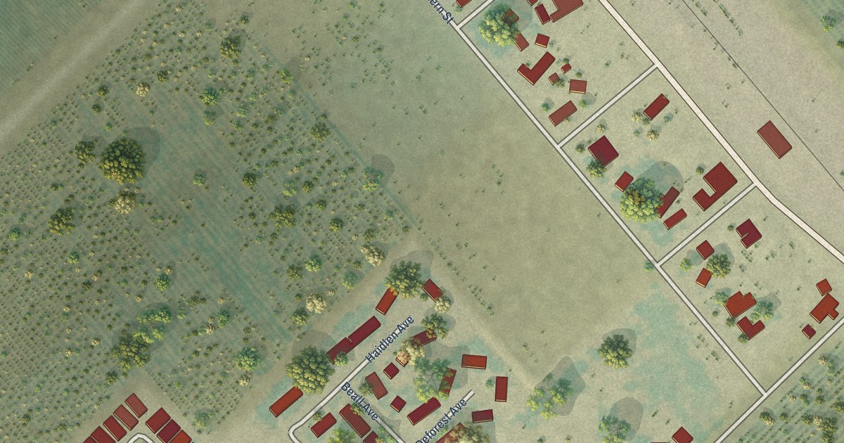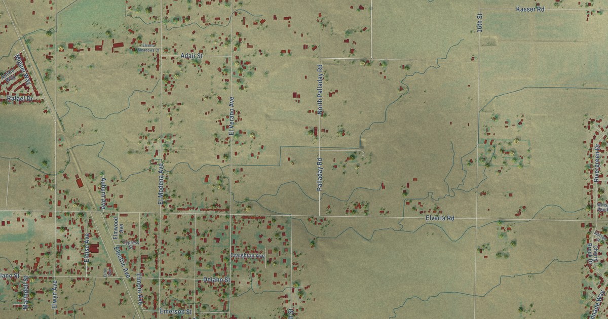
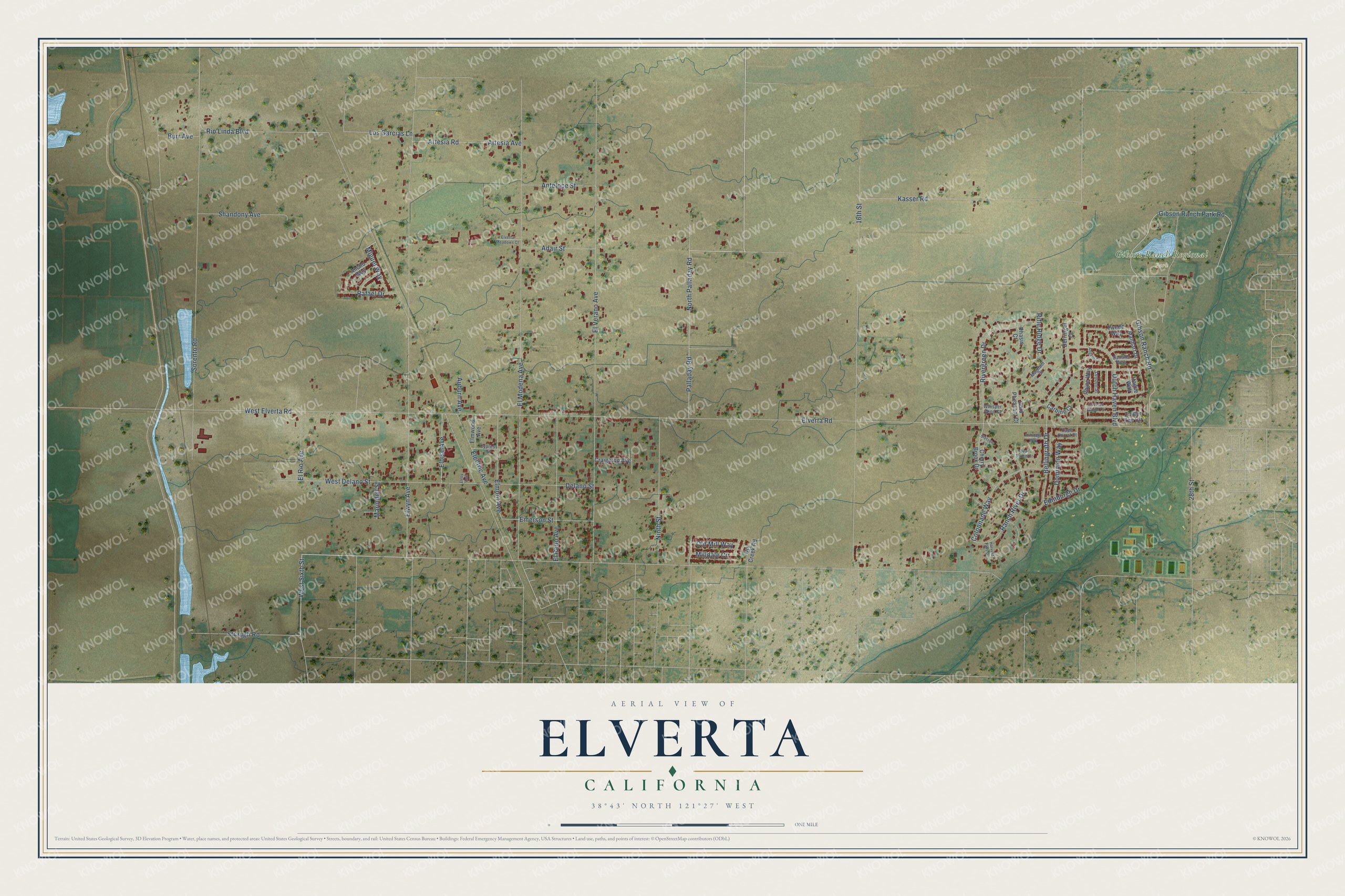
This beautifully detailed map of Elverta, California was created in 2026 using aerial imagery combined with modern topographical, census, street and landmark data. It's a modern aerial view of Elverta in Sacramento County, California, that combines modern data with a vintage aesthetic. The roads feature printed names, and if you look closely you can find your exact house accurately shown in its correct location.
Explore an aerial view of Elverta, California
On this map you'll find Gibson Ranch Regional Park, Palladay Road, West Sixth Street, Eloise Avenue, Rio Linda Boulevard, Elverta Road, Elwyn Avenue, El Modena Avenue, El Verano Avenue, 16th Street, Gibson Ranch Park Road, Gibson Ranch Road, and more. Each red shape is a building, so zoom in on the preview and look for yours.
Here is a piece of Elverta history. In 1924 the Sacramento Northern Railway began running special suburban cars eleven miles north from Sacramento to Elverta. The little commuter trains were known as the Elverta Scoots, and they ran until 1931, when automobiles won out. The Scoots were rebuilt streetcars, and at busy times two or even three cars ran together as one train. That's from the Feather River Rail Society.
Elverta is a community in Sacramento County. The Census Bureau counted 5,435 people here in 2020.
Take a closer look at the Elverta map
Names on this map
These names are printed on this map.
Places: Gibson Ranch Regional Park.
Streets and roads: Palladay Road, West Sixth Street, Eloise Avenue, Rio Linda Boulevard, Elverta Road, Elwyn Avenue, El Modena Avenue, El Verano Avenue, 16th Street, Gibson Ranch Park Road, Gibson Ranch Road, Sorento Road.
More street names, A to Z
28th Street, Adair Street, Ancho Way, Angelo Court, Antelope Street, Armitage Way, Artesia Avenue, Artesia Road, Auburn Avenue, Bellingrath Drive, Burr Avenue, Cape Corral Court, Carbine Court, Cherry Brook Drive, Colonnade Way, Covered Wagon Circle, Craighton Avenue, Cypress Street, Delano Street, Derringer Court, Dominion Way, Dry Creek Road, Dutch Haven Boulevard, Edinburgh Drive, Electric Avenue, Elmont Avenue, Elmwood Avenue, El Reno Avenue, El Rio Avenue, Elroy Avenue, Elverta Meadows Court, Emerson Street, Gold Pheasant Court, Hague Way, Harvest Falls Drive, Kasser Road, Leyden Street, Los Garcias Lane, Magnum Court, Manhart Drive, Marindell Street, Miguel Way, Milldale Circle, Ninth Street, North Palladay Road, Old Mill Way, Phasis Court, Quail Ranch Court, Rafael Drive, Ranch River Drive, Rhine Way, Rifle Ridge Drive, Rivergreen Drive, Santina Way, Shandony Avenue, Stetson Court, Straugh Road, Twede Way, West Delano Street, West Elverta Road, Whisper Wind Court, Zuider Zee Circle.
See it on a wall
The Elverta map as a framed print. Swipe for more.


Created by KNOWOL in 2026. The buildings are small red shapes, the roads carry their printed names, and shaded relief shows the shape of the land. The title panel reads "AERIAL VIEW OF ELVERTA, CALIFORNIA" with 38°43' NORTH 121°27' WEST.
It suits a den, a classroom or a front hall, and it makes a gift for anyone with Elverta roots. Open the preview and find the block you know. See sizes and frames for the Elverta map.