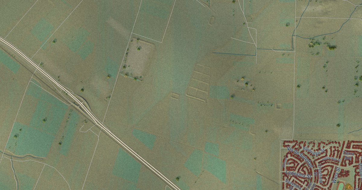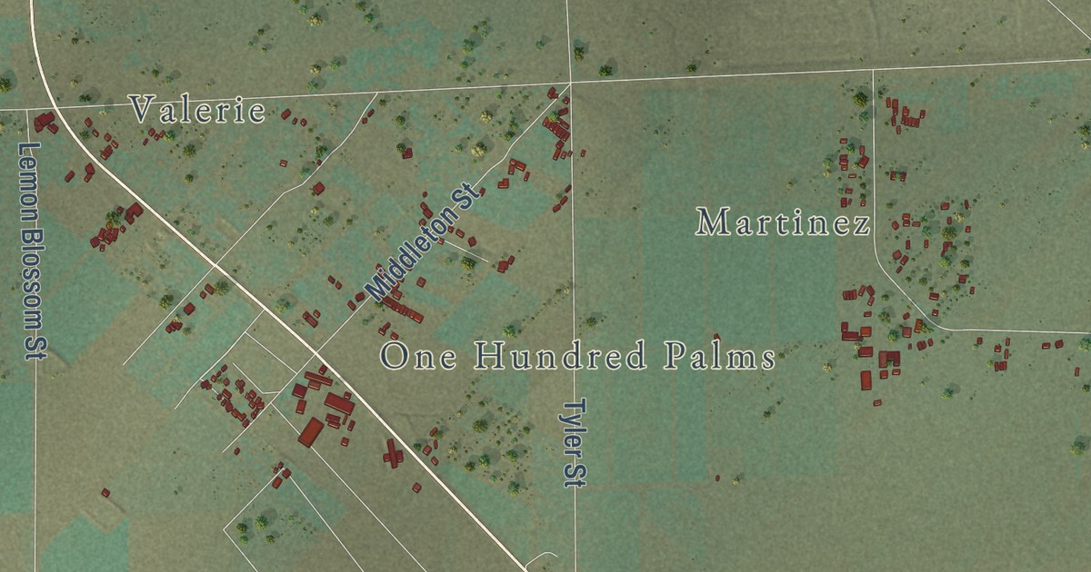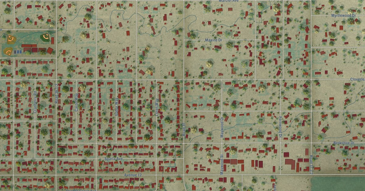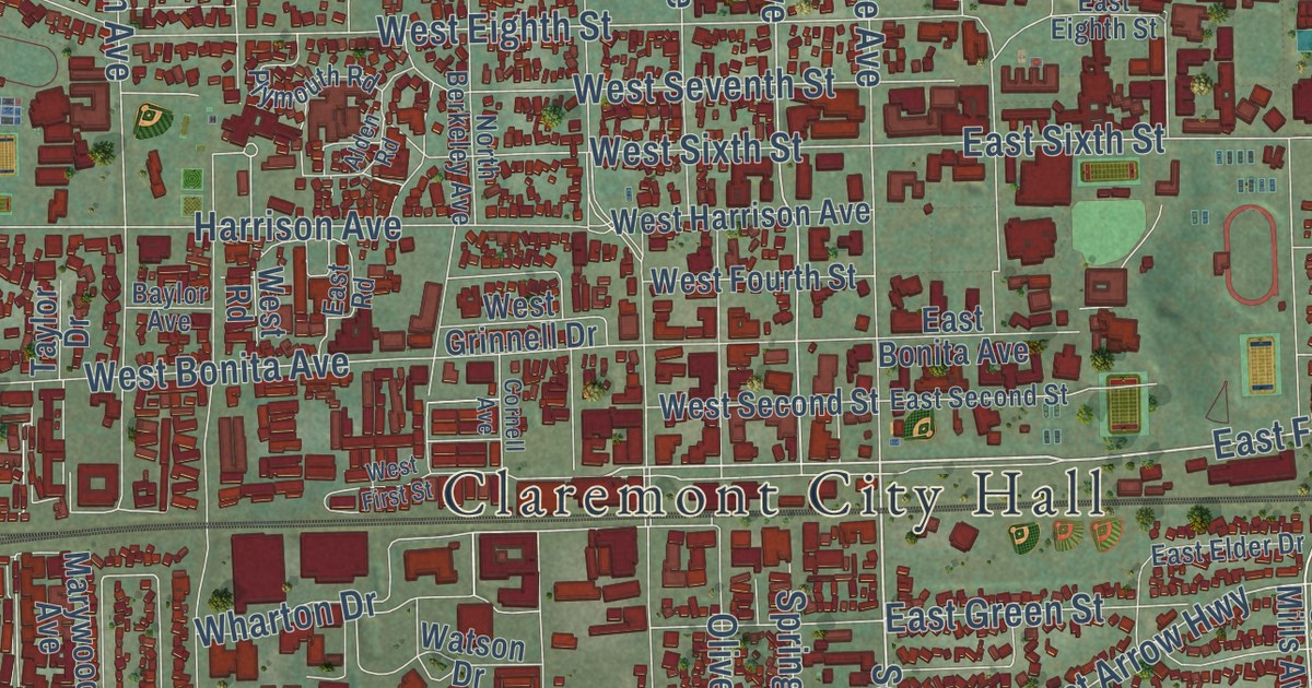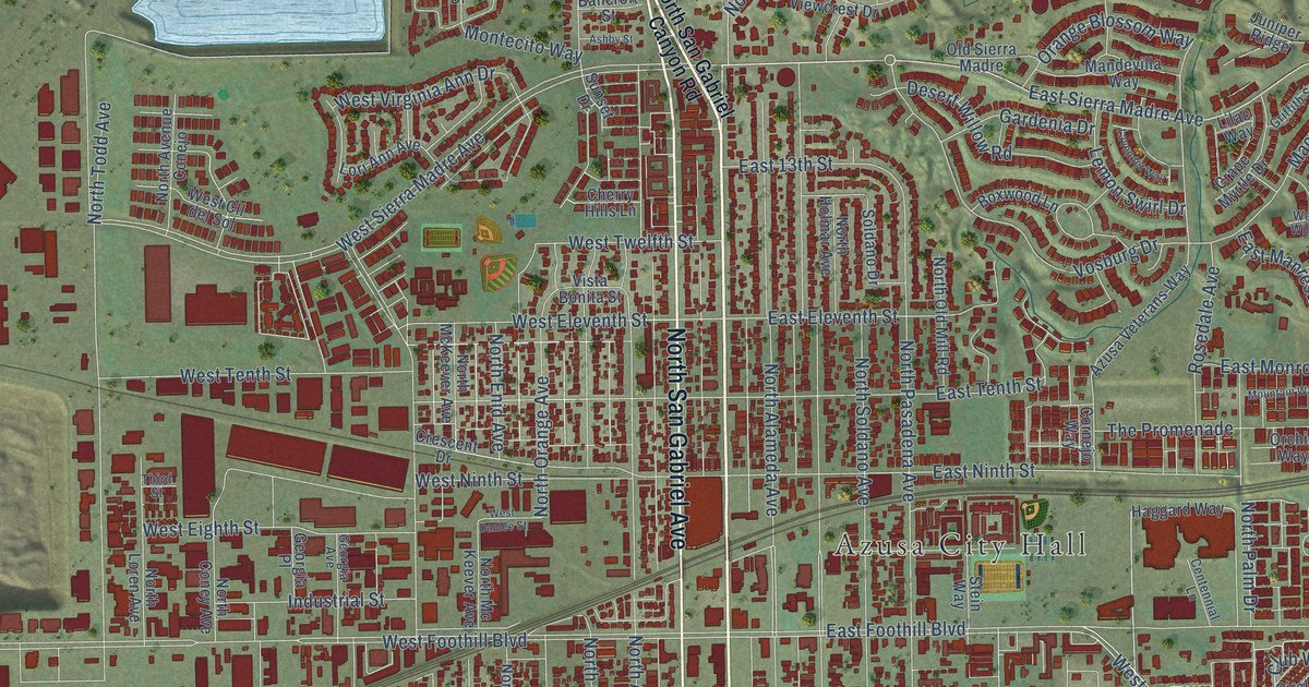
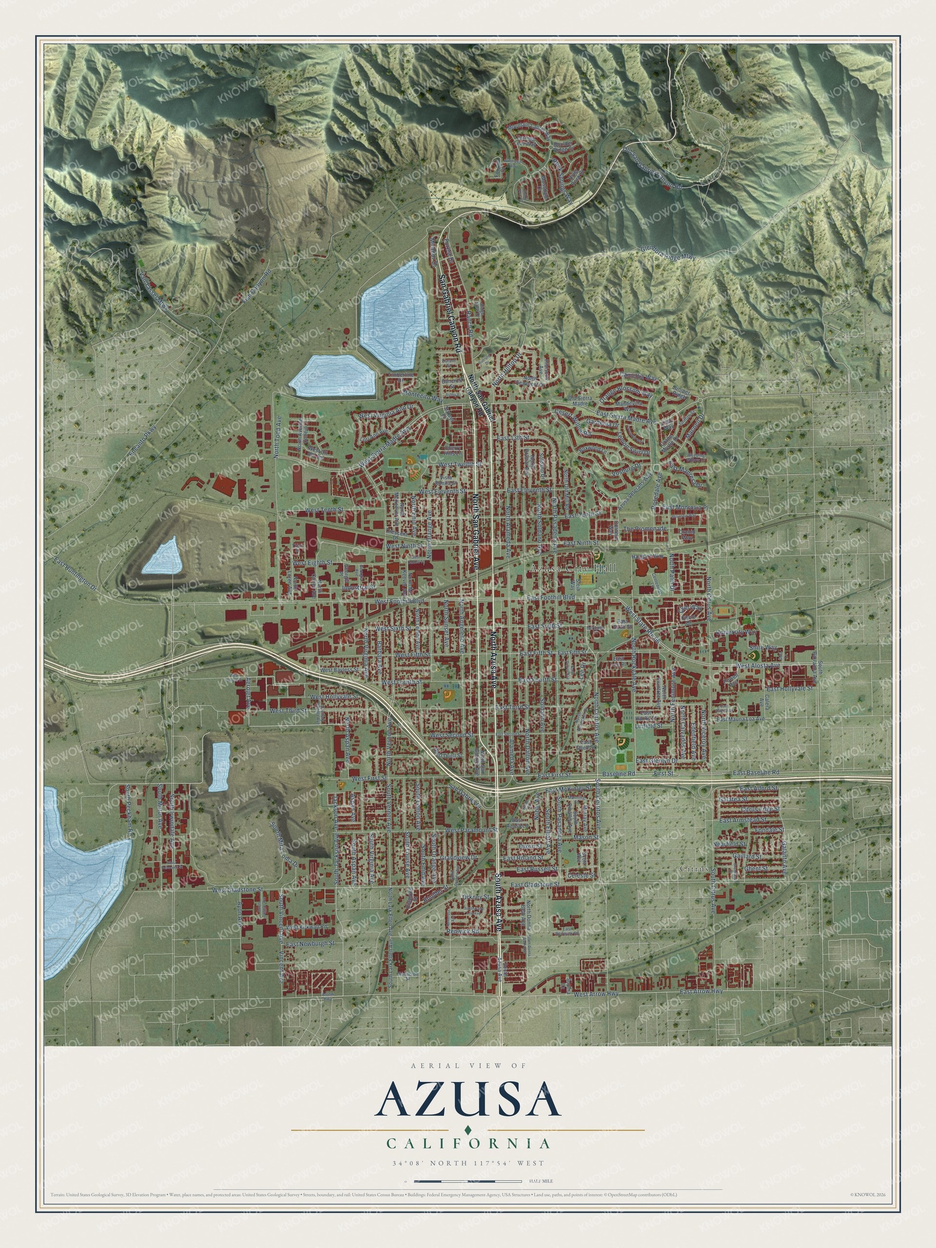
This beautifully detailed map of Azusa, California was created in 2026 using aerial imagery combined with modern topographical, census, street and landmark data. It’s a one-of-a-kind view of Azusa that combines accurate data with a vintage aesthetic. The map shows every building in its true location, many of the roads carry their names, and the shaded topographic relief shows the shape of the land.
Explore an aerial view of Azusa, California
On the map you’ll find Azusa City Hall and Citrus, along with South Azusa Avenue, North Azusa Avenue, North San Gabriel Avenue, San Gabriel Canyon Road, North Cerritos Avenue, East First Street, South Cerritos Avenue, Baseline Road, Aerojet Avenue, West Arrow Highway, and more. If you look closely you can even find your house accurately drawn in its correct location. Zoom in on the preview to look for yours.
Did you know this piece of Azusa, California history?
From the City of Azusa: "The first school, built of logs and brush, was the first public school built in the Upper San Gabriel Valley, then called Azusa Valley."
Take a closer look at the Azusa map
Street and place names on the Azusa, California map
These names are printed on the map of Azusa, California.
Places: Azusa City Hall and Citrus.
Streets and roads: South Azusa Avenue, North Azusa Avenue, North San Gabriel Avenue, San Gabriel Canyon Road, North Cerritos Avenue, East First Street, South Cerritos Avenue, Baseline Road, Aerojet Avenue, West Arrow Highway, East Sierra Madre Avenue, East Arrow Highway.
More street names, A to Z
Alameda Avenue, Arrow Highway, Ashby Street, Aspan Avenue, Ayon Avenue, Azusa Veterans Way, Bancroft Street, Barbara Avenue, Boulder Ridge Court, Boulder Street, Boxwood Lane, Calera Avenue, Camellia Way, Celeste Street, Centennial Lane, Cherry Hills Lane, Circle Drive, Citrus Edge Street, Club Way, Cornejo Way, Crape Myrtle Drive, Crescent Drive, Desert Willow Road, Diamond Street, Dixon Street, Durant Street, East 13th Street, East Alford Street, East Armstead Street, East Azusa Lane, East Baseline Road, East Duell Street, East Eleventh Street, East Fifth Street, East Foothill Boulevard, East Fourth Street, East Gladstone Street, East Glenlyn Drive, East Haltern Street, East Hanks Street, East Hollyvale Street, East Huntington Drive, East Lee Place, East Manresa Drive, East Mauna Loa Avenue, East McKinley Street, East Monrovia Place, East Newburgh Street, East Ninth Street, East Renwick Road, East Roland Street, East Russell Street, East Second Street, East Sixth Street, East Tenth Street, East Third Street, Edenfield Avenue, Encanto Parkway, First Street, Fish Canyon Road, Fondale Street, Forest Drive, Foxtail Court, Gaillard Street, Galanto Avenue, Galatea Street, Gardenia Drive, Georgia Avenue, Georgia Place, Ghent Street, Glendora Ridge Mtwy, Grandview Drive, Grantland Drive, Griffith Street, Haggard Way, Heritage Court, Hibiscus Avenue, Homerest Avenue, Industrial Street, Jackson Avenue, Juniper Ridge, Lavender Way, Lee Drive, Lemon Swirl Drive, Lilac Way, Linfield Street, Lori Ann Avenue, Macneil Drive, Mandevilla Way, Manning Street, Mason Street, Mirador Drive, Montecito Way, Mossdale Court, Mountain Laurel Way, Mountain Way, Murray Avenue, Nearfield Street, Noble Avenue, Noble Place, North Alameda Avenue, North Angeleno Avenue, North Aspan Avenue, North Avenue Conejo, North Calvados Avenue, North Citrus Avenue, North Coney Avenue, North Dalton Avenue, North Donna Beth Avenue, North Durrell Avenue, North Enid Avenue, North Fenimore Avenue, North Hilltop Drive, North Holmar Avenue, North Lark Ellen Avenue, North Lemon Avenue, North Loren Avenue, North Mc Keever Avenue, North McKeever Avenue, North Old Mill Road, North Orange Avenue, North Palm Drive, North Pasadena Avenue, North Rockvale Avenue, North Rodecker Drive, North San Gabriel Canyon Road, North Soldano Avenue, North Sunset Avenue, North Todd Avenue, North Twintree Avenue, North Vernon Avenue, North Viceroy Avenue, North Viewcrest Drive, North Virginia Avenue, Old San Gabriel Canyon Road, Old Sierra Madre, Orange Blossom Way, Orchid Way, Orkney Street, Powell Avenue, Ranch Road, Renwick Road, Ridge View Drive, River Rock Court, Rock Springs Way, Rosedale Avenue, Running Drive, San Gabriel Place, Scott Avenue, Shady Cove Court, Shire Lane, Shire Way, Soldano Avenue, Soldano Drive, Sophia Lane, South Aspan Avenue, South Barranca Avenue, South Citrus Avenue, South Donna Beth Avenue, South Duggan Avenue, South Elliott Avenue, South Enid Avenue, South Grandin Avenue, South Irwindale Avenue, South Jackson Avenue, South Lark Ellen Avenue, South Lemon Avenue, South Louise Avenue, South Mira Loma Drive, South Motor Avenue, South Omalley Avenue, South Orange Avenue, South Pasadena Avenue, South Peckham Road, South Sally Lee Avenue, South Vernon Avenue, South Vincent Avenue, South Virginia Avenue, Stein Way, Sunset Drive, The Promenade, Third Street, Timberline Drive, Turning Leaf Way, University Way, Van Tassel Mtwy, Vincent Avenue, Vista Bonita Street, Vosburg Drive, Weeping Willow Drive, West Alosta Avenue, West Bayless Street, West Cll del Sol, West Danlee Street, West Duell Street, West Eighth Street, West Eleventh Street, West Fifth Street, West First Street, West Foothill Boulevard, West Fourth Street, West Gladstone Street, West Hollyvale Street, West Kirkwall Road, West Ninth Street, West Optical Drive, West Paramount Street, West Roosevelt Street, West Second Street, West Sierra Madre Avenue, West Sixth Street, West State Route 66, West Tenth Street, West Third Street, West Twelfth Street, West Virginia Ann Drive, Wildflower Way, Woodcroft Street, Zachary Padilla Avenue.
See the Azusa, California map on a wall
The Azusa map as an 18 x 24 inch print in a black frame.

This beautifully detailed map of Azusa makes an attractive addition to your office, library, or den, and it can even be used to teach children the geography and history of the area. It also makes a great gift for someone who left Azusa and still calls it home. When you’re done exploring, click here to get your copy of the Azusa map.