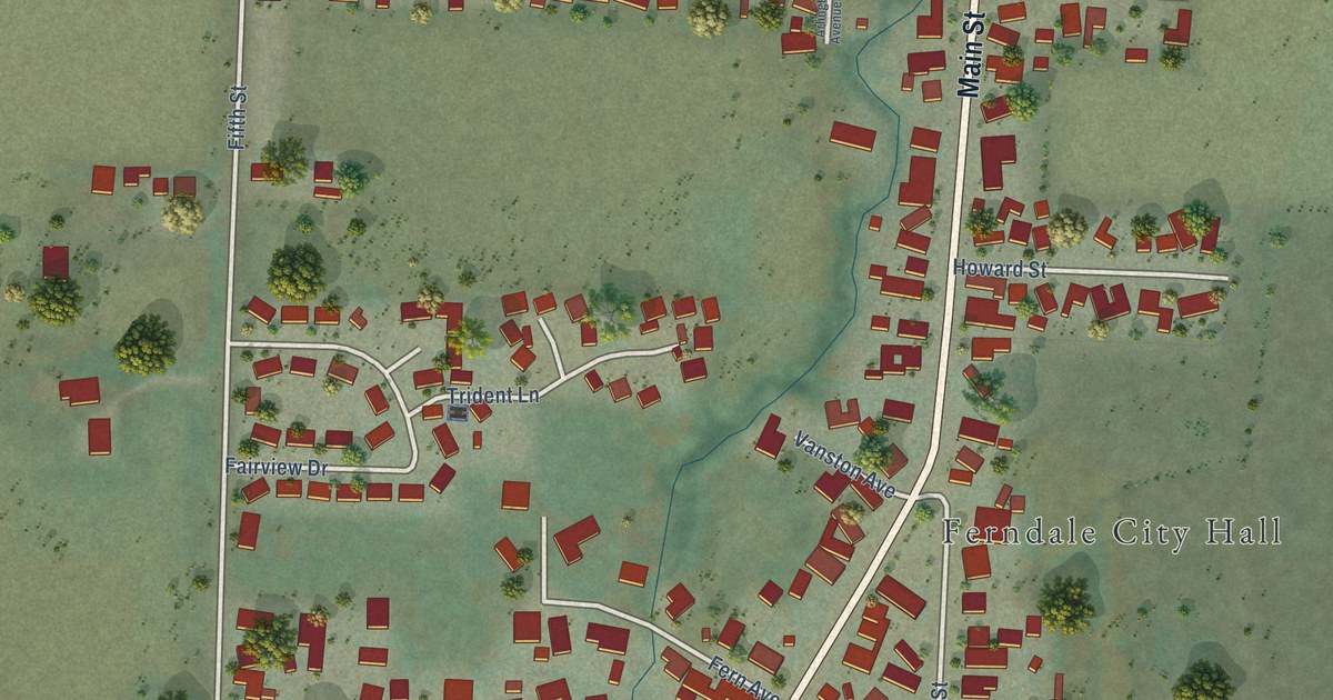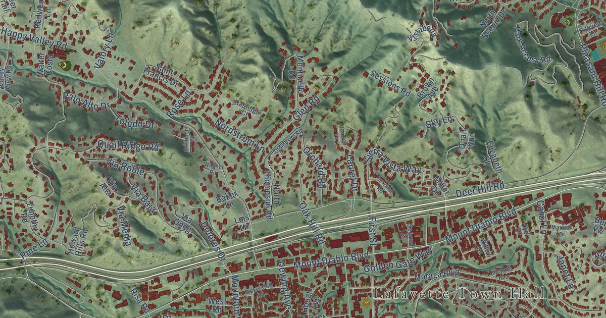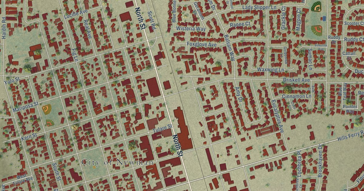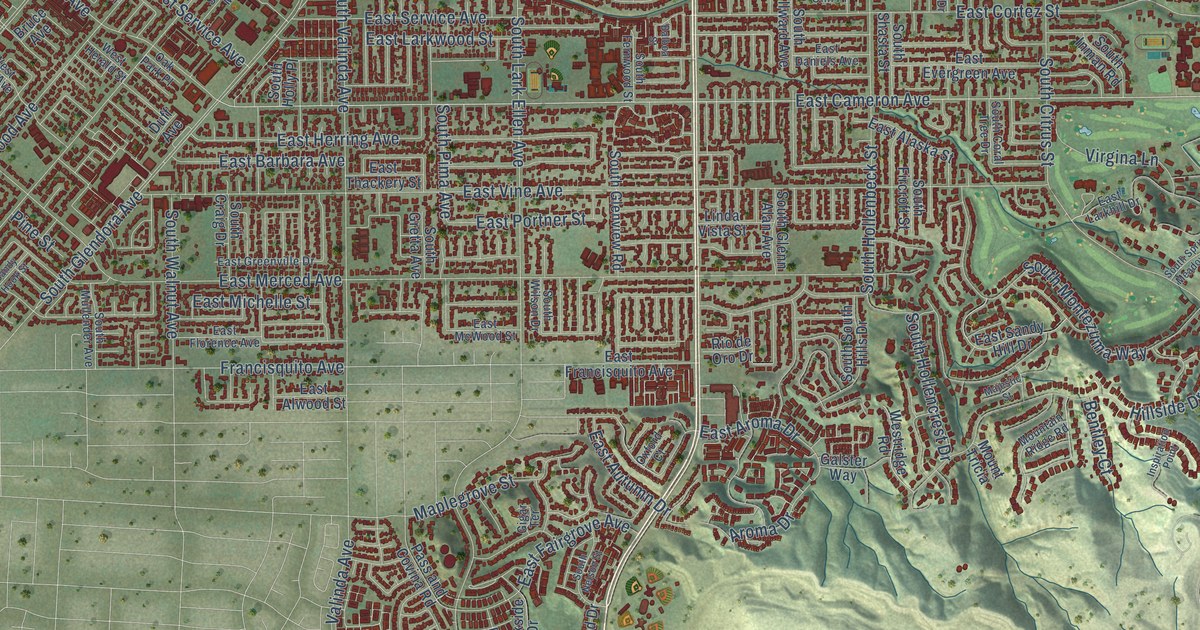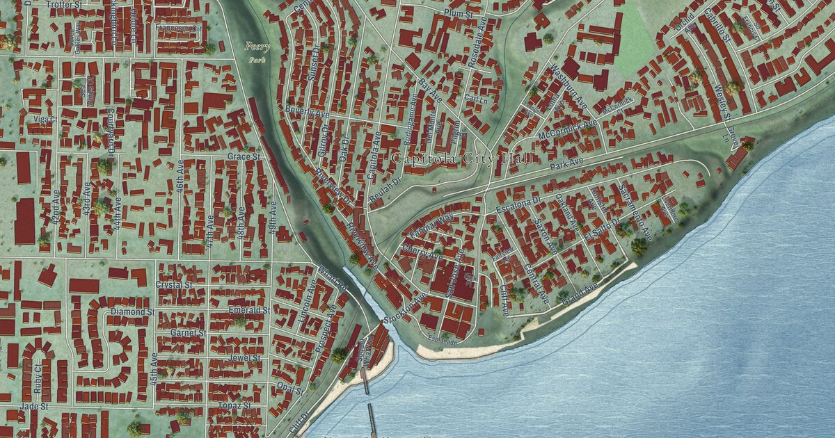
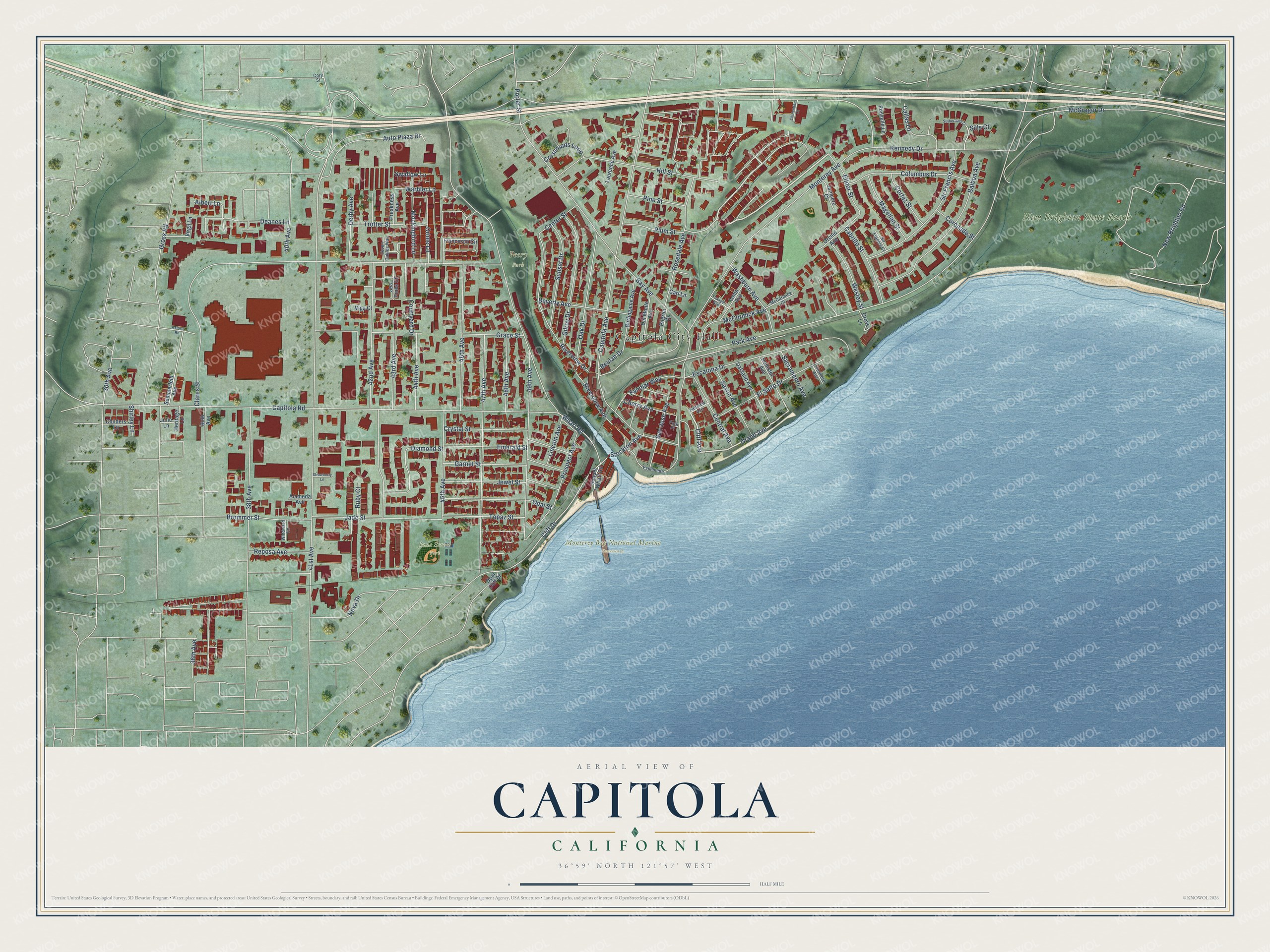
This beautifully detailed map of Capitola, California was created in 2026 using aerial imagery combined with modern topographical, census, street and landmark data. It's a modern aerial view of Capitola in Santa Cruz County, California, that combines modern data with a vintage aesthetic. The roads feature printed names, and if you look closely you can find your exact house accurately shown in its correct location.
Explore an aerial view of Capitola, California
On this map you'll find Capitola City Hall, Monterey Bay National Marine Sanctuary, New Brighton State Beach, Peery Park, Jade Street Park, Grand Avenue, Cliff Avenue, Cliff Drive, Park Avenue, 41st Avenue, Capitola Avenue, Capitola Road, and more. Each red shape is a building, so zoom in on the preview and look for yours.
Every town has a first chapter, and Capitola is no exception. The record at ohp.parks.ca.gov puts it this way: "Hihn's operations from approximately 1883 to 1919, when he owned and developed what was then known as 'Camp Capitola' into the first seaside resort in the state."
Capitola is a city in Santa Cruz County. The Census Bureau counted 9,938 people here in 2020.
Take a closer look at the Capitola map
Names on this map
These names are printed on this map.
Places: Capitola City Hall, Monterey Bay National Marine Sanctuary, New Brighton State Beach, Peery Park and Jade Street Park.
Streets and roads: Grand Avenue, Cliff Avenue, Cliff Drive, Park Avenue, 41st Avenue, Capitola Avenue, Capitola Road, Clares Street, Wharf Road, Monterey Avenue, Kennedy Drive, 42nd Avenue.
More street names, A to Z
30th Avenue, 36th Avenue, 38th Avenue, 40th Avenue, 43rd Avenue, 44th Avenue, 45th Avenue, 46th Avenue, 47th Avenue, 48th Avenue, 49th Avenue, Alameda Avenue, Albert Lane, Auto Plaza Drive, Axford Road, Balboa Avenue, Bay Avenue, Beulah Drive, Beverly Avenue, Brommer Street, Bulb Avenue, Burlingame Avenue, Cabrillo Street, Callas Lane, Carl Lane, Center Street, Central Avenue, Cherry Avenue, Childers Lane, Chittenden Lane, Columbus Drive, Coronado Street, Cortez Street, Cory Street, Courtyard Drive, Crossroads Loop, Crystal Street, Deanes Lane, Del Monte Avenue, Derby Avenue, Diamond Street, Elinor Street, El Salto Drive, Emerald Street, Escalona Drive, Esplanade, Fairview Avenue, Fanmar Way, Francesco Circle, Garnet Street, Gilroy Drive, Grace Street, Gross Road, Grove Lane, Heritage Lane, Hill Street, Hollister Avenue, Jade Street, Jewel Street, Julie Lane, Junipero Court, Laurence Avenue, Lincoln Avenue, Livermore Avenue, Loma Avenue, Magellan Street, McCormick Avenue, McCormick Court, McGregor Drive, Mockingbird Lane, New Brighton Road, Nova Drive, Oak Drive, Oakland Avenue, Opal Cliff Drive, Opal Street, Orchid Avenue, Oriole Lane, Park Place, Pilgrim Drive, Pine Street, Plum Street, Ponselle Lane, Porter Street, Preakness Avenue, Prospect Avenue, Reposa Avenue, Riverview Avenue, Riverview Drive, Rosedale Avenue, Ruby Court, Sacramento Avenue, San Jose Avenue, Saxon Avenue, Sea Pines Court, Seven Gables Way, Shirley Lane, Sills Court, Sir Francis Avenue, Sir Francis Court, Sommerfeld Avenue, Soquel Wharf Road, Stockton Avenue, Strawberry Lane, Sunset Drive, Sutherland Court, Swallow Lane, Topaz Street, Trotter Street, Viga Court, Virgil Lane, Warbler Lane, Washburn Avenue, Wesley Street, Windward Lane, Younger Avenue.
Created by KNOWOL in 2026. The buildings are small red shapes, the roads carry their printed names, and shaded relief shows the shape of the land. The title panel reads "AERIAL VIEW OF CAPITOLA CALIFORNIA" with 36°59' NORTH 121°57' WEST.
Hang it in the hallway, the office or the cabin, or give it to someone who left Capitola and still calls it home. Open the preview and look for a street you know. See sizes and frames for the Capitola map.