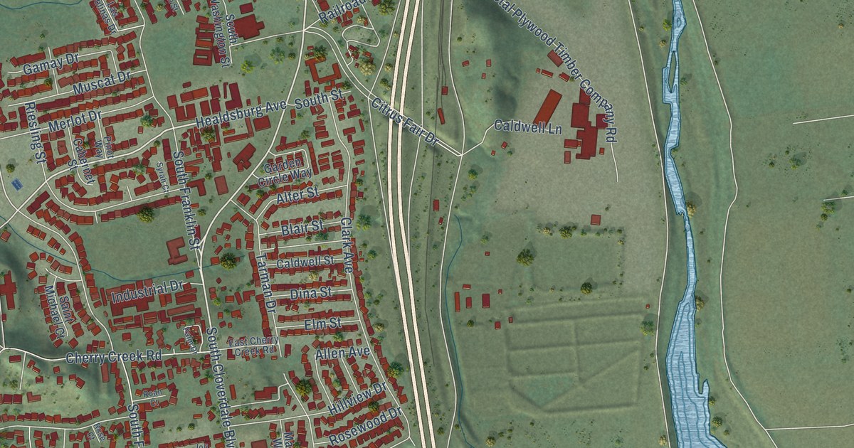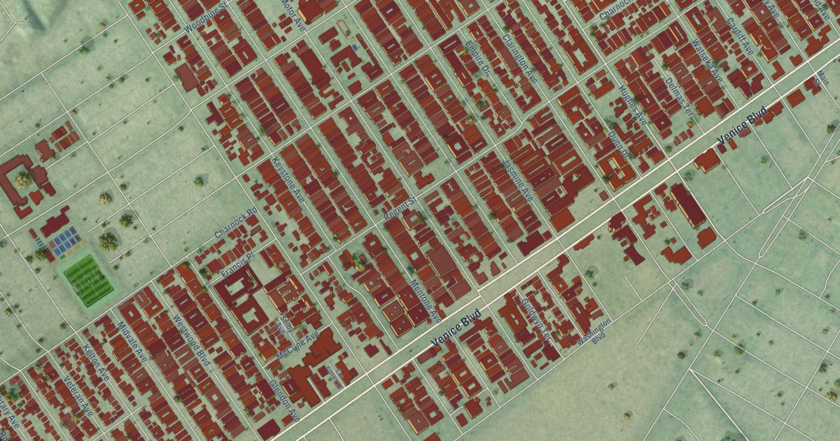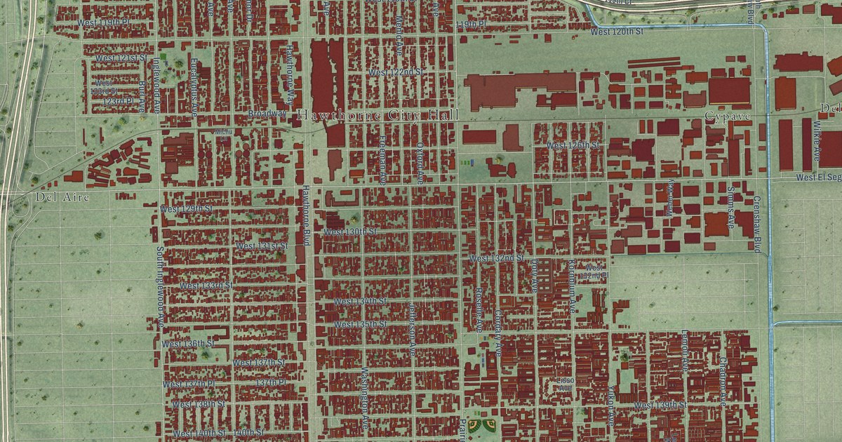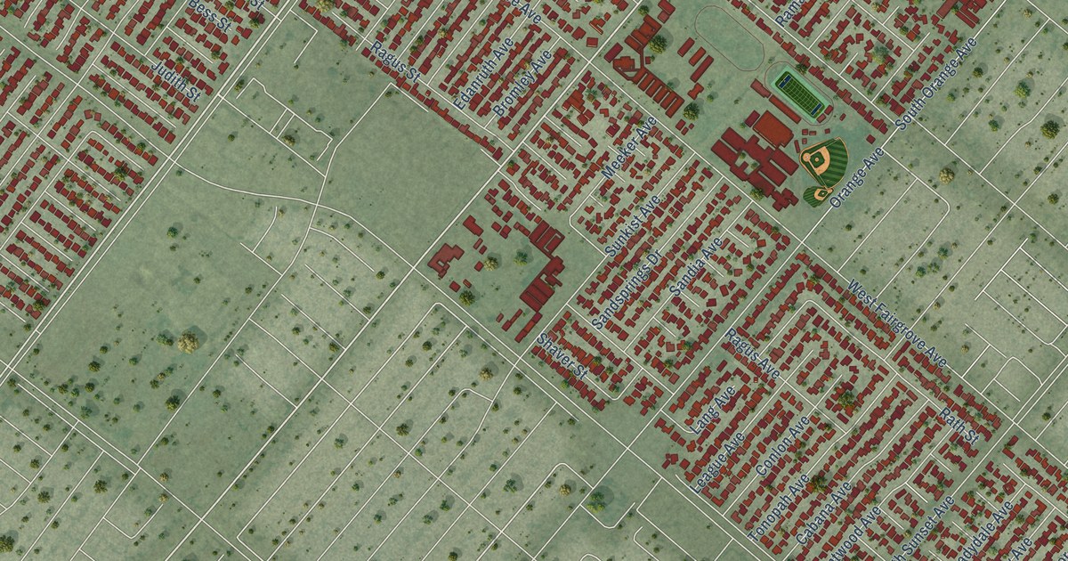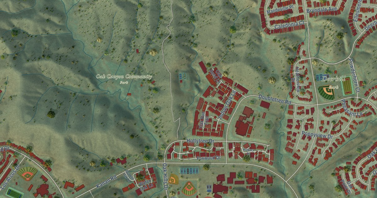
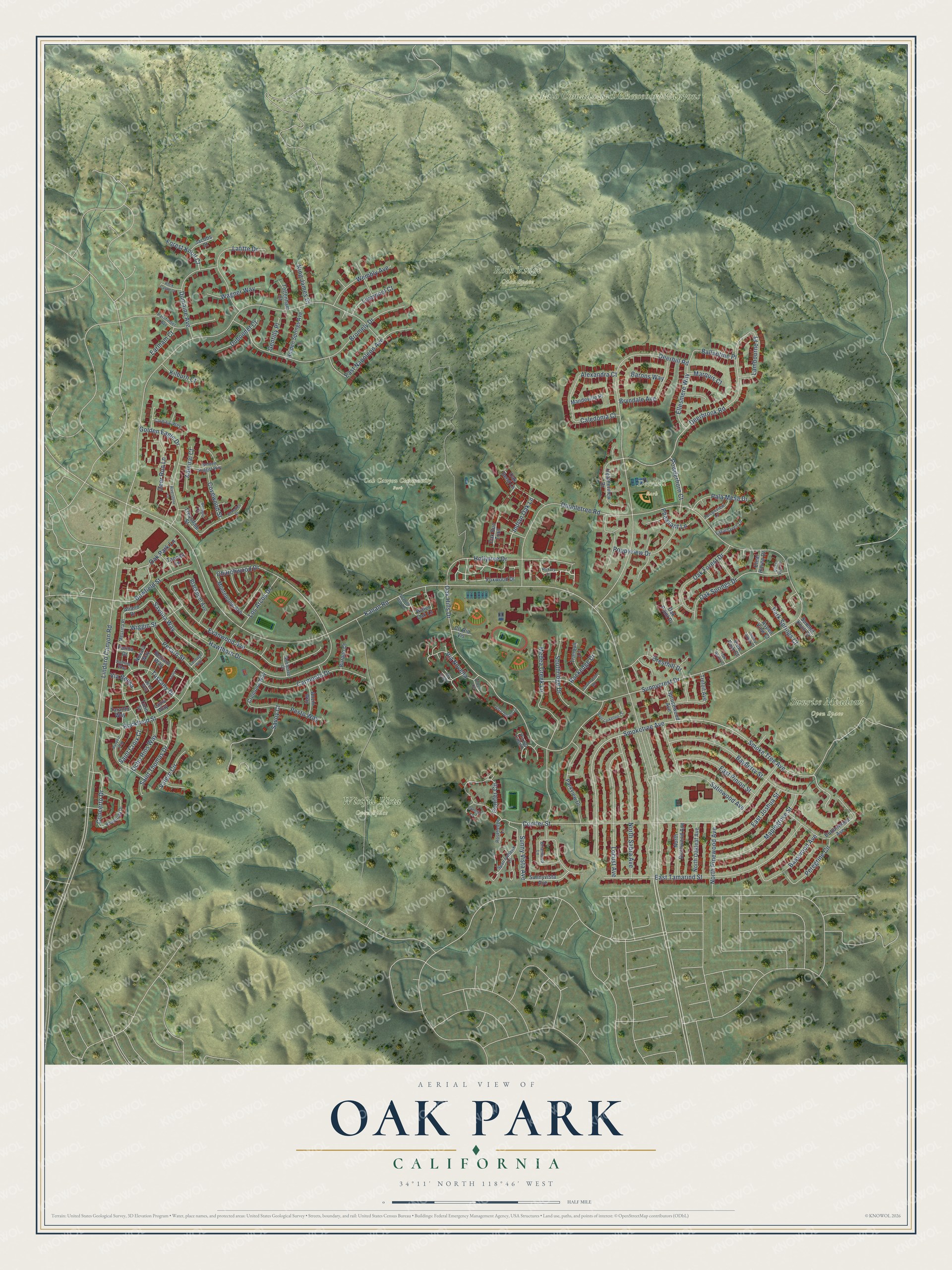
This beautifully detailed map of Oak Park, California was created in 2026 using aerial imagery combined with modern topographical, census, street and landmark data. It's a modern aerial view of Oak Park in Ventura County, California, that combines modern data with a vintage aesthetic. The roads feature printed names, and if you look closely you can find your exact house accurately shown in its correct location.
Explore an aerial view of Oak Park, California
On this map you'll find Deerhill Park, Oak Canyon Community Park, Palo Comado and Cheeseboro Canyons, Rock Ridge Open Space, Sunrise Meadows Open Space, Wistful Vista Open Space, Oak Park Lane, Kanan Road, Indian Oak Lane, Deerbrook Road, Savona Way, Churchwood Drive, and more. Each red shape is a building, so zoom in on the preview and look for yours.
Oak Park is a community in Ventura County. The Census Bureau counted 13,898 people here in 2020. The map prints the town name in its title panel, with the coordinates below it.
Take a closer look at the Oak Park map
Names on this map
These names are printed on this map.
Places: Deerhill Park, Oak Canyon Community Park, Palo Comado and Cheeseboro Canyons, Rock Ridge Open Space, Sunrise Meadows Open Space and Wistful Vista Open Space.
Streets and roads: Oak Park Lane, Kanan Road, Indian Oak Lane, Deerbrook Road, Savona Way, Churchwood Drive, Lindero Canyon Road, Smoke Tree Avenue, Smoketree Avenue, Doubletree Road, Conifer Street, Deerhill Road.
More street names, A to Z
Admiral Court, Alexandra Court, Aliano Drive, Anzio Way, Aspen View Court, Ballantine Place, Barons Way, Basswood Avenue, Bayberry Street, Bayport Way, Belcaro Way, Bellagio Court, Benedict Court, Blackpool Avenue, Bowfield Street, Briarwood Lane, Bromely Drive, Bryndale Avenue, Burano Court, Buttonwood Avenue, Caledonia Court, Camelia Lane, Cardinal Way, Carmento Drive, Carthage Way, Clear Haven Drive, Cll Rio Vis, Cll Seguro, Concerto Drive, Conifer Circle, Countryside Road, Covewood Street, Cremona Way, Cresthill Drive, Deer Run Lane, Dubonnet Court, Dumaine Avenue, Eaglehaven Lane, Earlham Court, East Joshua Street, East Larkellen Court, East Napoleon Avenue, East Pinion Street, East Tamarind Street, El Azul Circle, Ellesmere Way, Evanwood Avenue, Falconview Lane, Forest Knoll Court, Foxwood Drive, Gentilly Place, Golden Eagle Drive, Golden Nugget Way, Hawthorn Drive, Heatherview Drive, Hickory Drive, Hidden Springs Avenue, Hollytree Drive, Jacobs Court, Kilburn Court, King James Court, Lafitte Drive, Lambourne Place, Lazio Way, Liverpool Court, Locust Avenue, Los Arcos Drive, Mandeville Place, Maplegrove Street, Marquis Court, Medea Creek Lane, Messina Place, Monteleone Avenue, Nobletree Court, North Birchwood Avenue, North Oakleaf Avenue, North Pinewood Avenue, North Sabra Avenue, Novara Way, Oak Bend Lane, Oak Forest Drive, Oak Haven Court, Oak Hills Drive, Oak Point Drive, Oak Run Trail, Oak Springs Drive, Ocho Rios Way, Pala Mesa Drive, Park Springs Court, Parkview Drive, Parma Drive, Pathfinder Avenue, Peregrine Circle, Pesaro Street, Pesto Way, Pheasant Lane, Poppyview Drive, Powderhorn Court, Quail View Court, Rhapsody Drive, Riverstone Lane, Rock Castle Court, Rockedge Drive, Rockfield Street, Rosehedge Lane, Saint Croix Court, Saint Thomas Drive, Saltino Way, Santo Drive, Satinwood Avenue, Savoy Court, Southridge Drive, Spanish Oak Lane, Sparrowhawk Lane, Sprucewood Avenue, Summit Knoll Court, Sunny Brook Court, Sunnycrest Drive, Sunny Vista Avenue, Sunnyvista Avenue, Tanoak Lane, Taranto Way, Tottenham Court, Tranquil Lane, Trefoil Avenue, Trousdale Street, Turin Street, Tuscany Drive, Valero Circle, Via Bensa, Via del Caballo, Via Novella, View Park Court, Vista Dorado Lane, Wagner Way, Water Oak Lane, Wembly Avenue, Wiggin Street, Zeno Way.
Created by KNOWOL in 2026. The buildings are small red shapes, the roads carry their printed names, and shaded relief shows the shape of the land. The title panel reads "AERIAL VIEW OF OAK PARK CALIFORNIA" with 34°11' NORTH 118°46' WEST.
It suits a den, a classroom or a front hall, and it makes a gift for anyone with Oak Park roots. Open the preview and find the block you know. See sizes and frames for the Oak Park map.