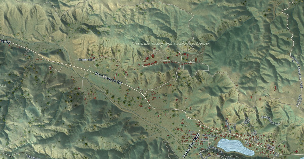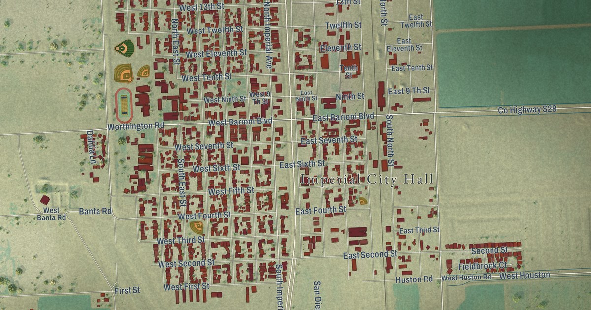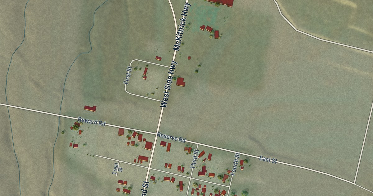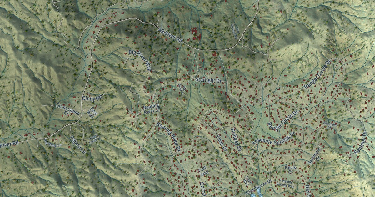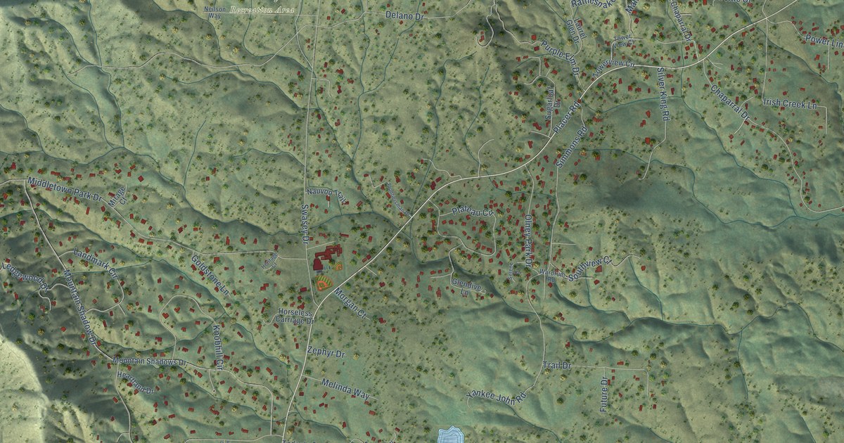
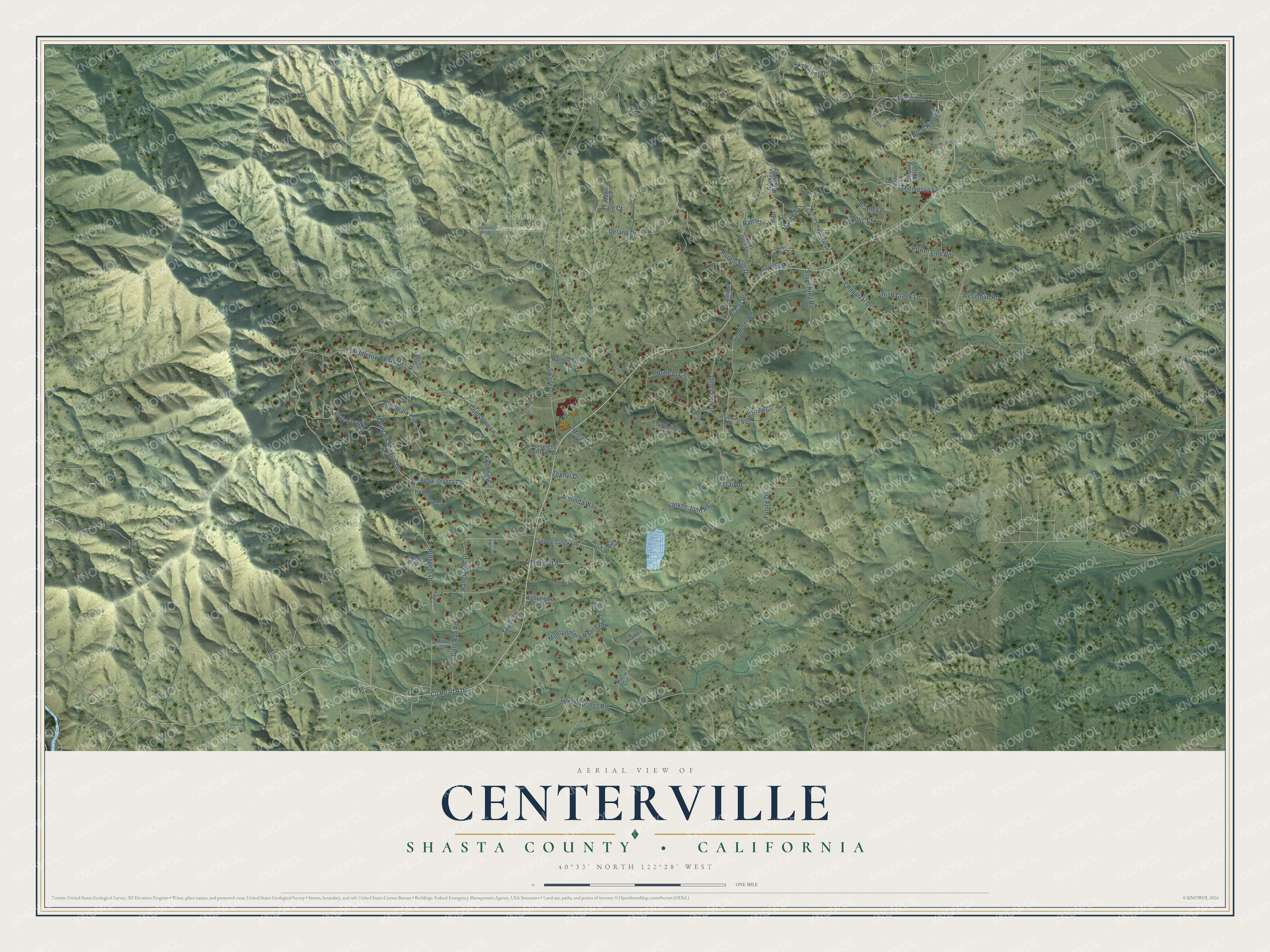
This beautifully detailed map of Centerville, California was created in 2026 using aerial imagery combined with modern topographical, census, street and landmark data. It's a modern aerial view of Centerville in Shasta County, California, that combines modern data with a vintage aesthetic. The roads feature printed names, and if you look closely you can find your exact house accurately shown in its correct location.
Explore an aerial view of Centerville, California
On this map you'll find Swasey Recreation Area, Placer Road, Co Road A16, Purple Elm Drive, Thompson Lane, Rattlesnake Drive, Middletown Park Drive, Chaparral Drive, Delano Drive, Mountain Shadow Drive, Swasey Drive, Montgomery Ranch Road, and more. Each red shape is a building, so zoom in on the preview and look for yours.
Every town has a first chapter, and Centerville is no exception. Centerville sat in the center of the Clear Creek mining district. In its early days it was a town of considerable size, busy with placer mining, but by the early 1890s the old site had almost disappeared. The Yankee John lode mine nearby worked off and on from the 1850s and was reopened in the 1930s. That's from the 1975 gold camps dictionary by Erwin Gudde.
Centerville is a community in Shasta County. The Census Bureau counted 2,095 people here in 2020.
Take a closer look at the Centerville map
Names on this map
These names are printed on this map.
Places: Swasey Recreation Area.
Streets and roads: Placer Road, County Road A16, Purple Elm Drive, Thompson Lane, Rattlesnake Drive, Middletown Park Drive, Chaparral Drive, Delano Drive, Mountain Shadow Drive, Swasey Drive, Montgomery Ranch Road, Simmons Road.
More street names, A to Z
Blarney Lane, Bond Ridg Road, Cam Court, Celtic Court, Cider Hill Road, Crown Way, Double Tree Lane, Equestrian Drive, Ferrelli Lane, Frontiersman Drive, Future Drive, Glendive Lane, Gold Run Road, Goldstone Lane, Heartland Drive, Heritage Court, Horseless Carriage Drive, Irish Creek Lane, Janell Lane, Knobhill Circle, Kramer Court, Landmark Circle, Laurel Glen Drive, Ledgewood Drive, Macie Circle, Magic Circle, Mahee Street, Melinda Way, Millie Drive, Mirage Court, Morgan Court, Morning Glory Lane, Mountain Shadows Drive, Muscat Court, Nauvoo Trail, Neilson Way, Nightingale Lane, North Chaparral Drive, Olney Park Drive, Plateau Circle, Power Line Road, Prospect Drive, Ranchland Drive, Record Lane, Richison Ranch Road, Rocklin Way, Serene Drive, Silver King Road, Skywalker Drive, Southview Court, Sugarloaf Drive, Tadpole Creek Lane, Taylor Lane, Texas Springs Road, Towerview Circle, Tower View Court, Trail Drive, Wardrum Road, Weseman Road, Yankee John Road, Zephyr Drive.
See it on a wall
The Centerville, Shasta County map as a framed print. Swipe for more.


Created by KNOWOL in 2026. The buildings are small red shapes, the roads carry their printed names, and shaded relief shows the shape of the land. The title panel reads "AERIAL VIEW OF CENTERVILLE, SHASTA COUNTY • CALIFORNIA" with 40°33' NORTH 122°28' WEST.
Hang it in the hallway, the office or the cabin, or give it to someone who left Centerville and still calls it home. Open the preview and look for a street you know. See sizes and frames for the Centerville, Shasta County map.