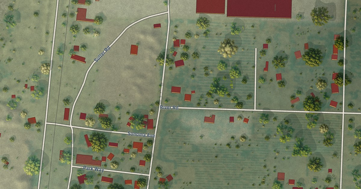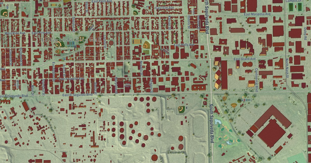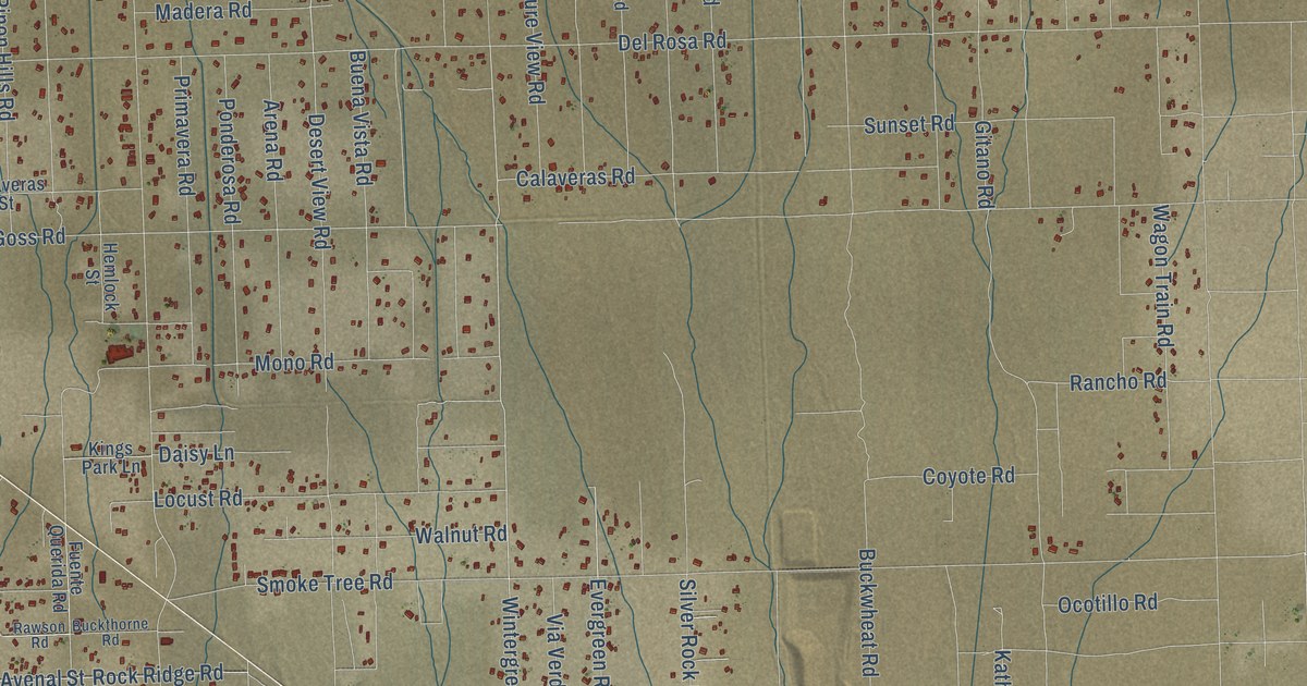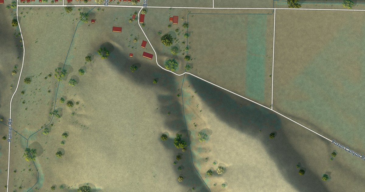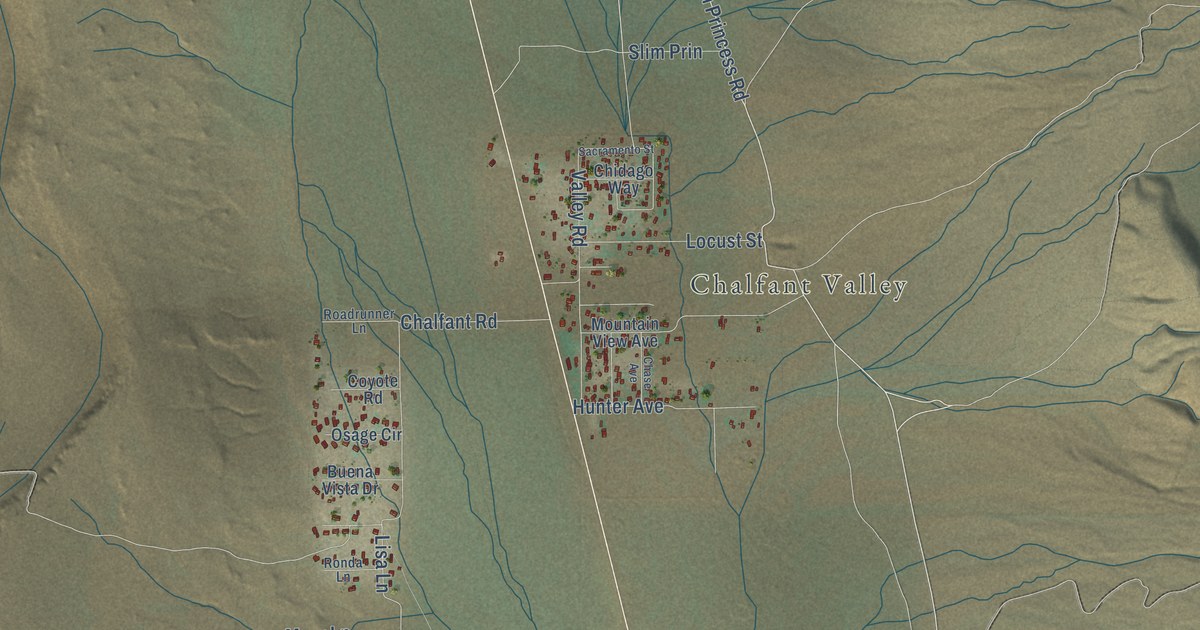
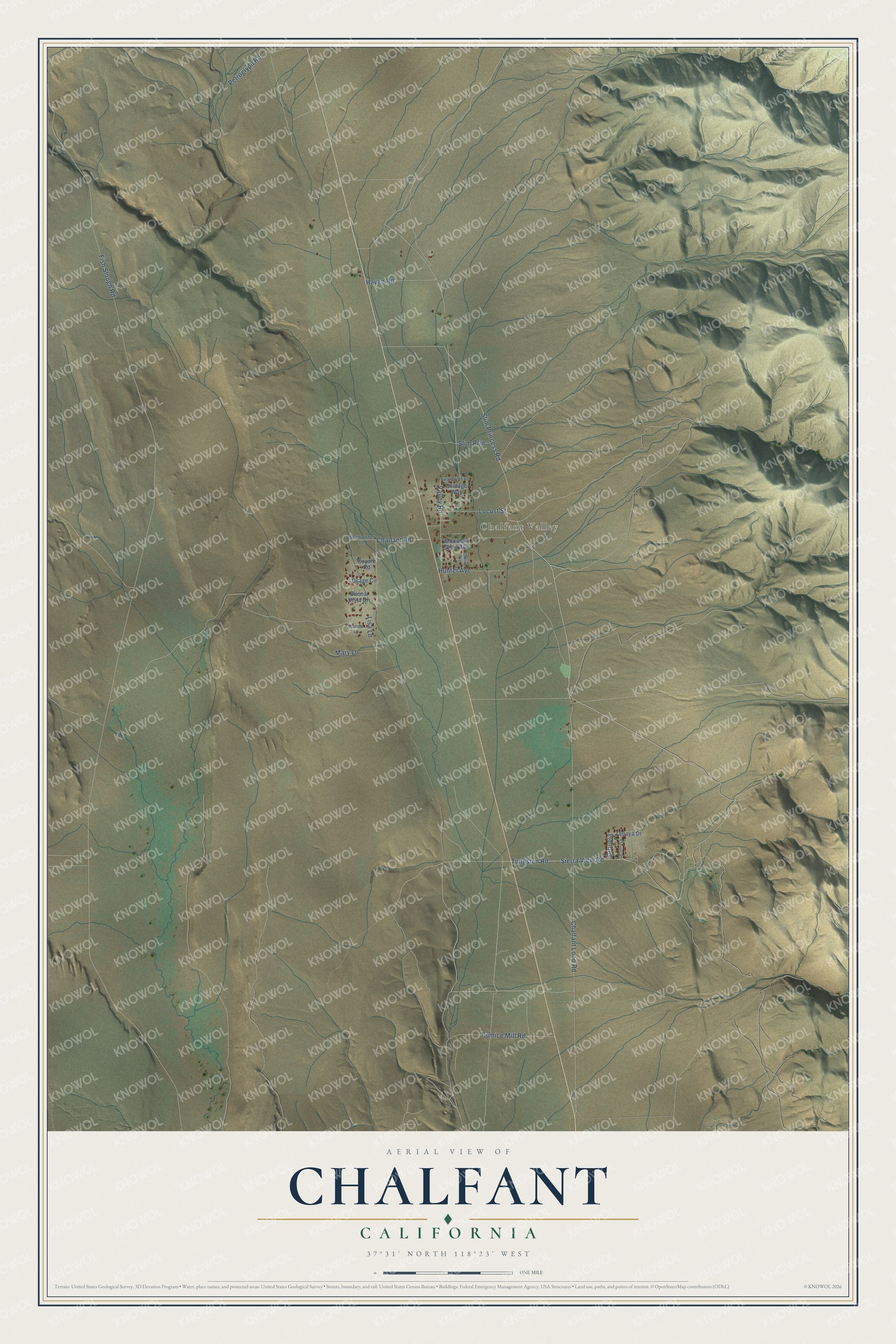
This beautifully detailed map of Chalfant, California was created in 2026 using aerial imagery combined with modern topographical, census, street and landmark data. It's a modern aerial view of Chalfant in Mono County, California, that combines modern data with a vintage aesthetic. The roads feature printed names, and if you look closely you can find your exact house accurately shown in its correct location.
Explore an aerial view of Chalfant, California
On this map you'll find Chalfant Valley, Slim Princess Road, Tungsten Road, Sierra View Road, Sequoia, Lisa Lane, Fish Slough Road, Chalfant Loop Road, Pumice Mill Road, Chalfant Road, Valley Road, Hunter Avenue, and more. Each red shape is a building, so zoom in on the preview and look for yours.
Chalfant has a story worth telling. On July 21, 1986, a strong earthquake rocked Chalfant Valley, and the worst damage was at Chalfant, where a large number of mobile homes were thrown off their foundations. The quake was felt across California, Nevada, Utah and Arizona, and high rise buildings swayed in Los Angeles, San Francisco and Salt Lake City. Its center lay about 8 kilometers northwest of town, in the Volcanic Tableland, and fresh cracks opened along the White Mountain fault zone east of Chalfant. That's from the U.S. Geological Survey.
Chalfant is a community in Mono County. The Census Bureau counted 660 people here in 2020.
Take a closer look at the Chalfant map
Names on this map
These names are printed on this map.
Places: Chalfant Valley.
Streets and roads: Slim Princess Road, Tungsten Road, Sierra View Road, Sequoia, Lisa Lane, Fish Slough Road, Chalfant Loop Road, Pumice Mill Road, Chalfant Road, Valley Road, Hunter Avenue, Petroglyph Road.
More street names, A to Z
Buena Vista Drive, Chase Avenue, Chidago Way, Coyote Road, Haven Road, Locust Street, Mary Lane, Mountain View Avenue, Osage Circle, Ponderosa, Roadrunner Lane, Ronda Lane, Sacramento Street, Slim Prin, Tenaya Drive.
See it on a wall
The Chalfant map as a framed print. Swipe for more.


Created by KNOWOL in 2026. The buildings are small red shapes, the roads carry their printed names, and shaded relief shows the shape of the land. The title panel reads "AERIAL VIEW OF CHALFANT, CALIFORNIA" with 37°31' NORTH 118°23' WEST.
It looks right in a kitchen, an office or a den, and it's a gift for anyone who grew up in Chalfant or moved away. Open the preview and find your street. See sizes and frames for the Chalfant map.