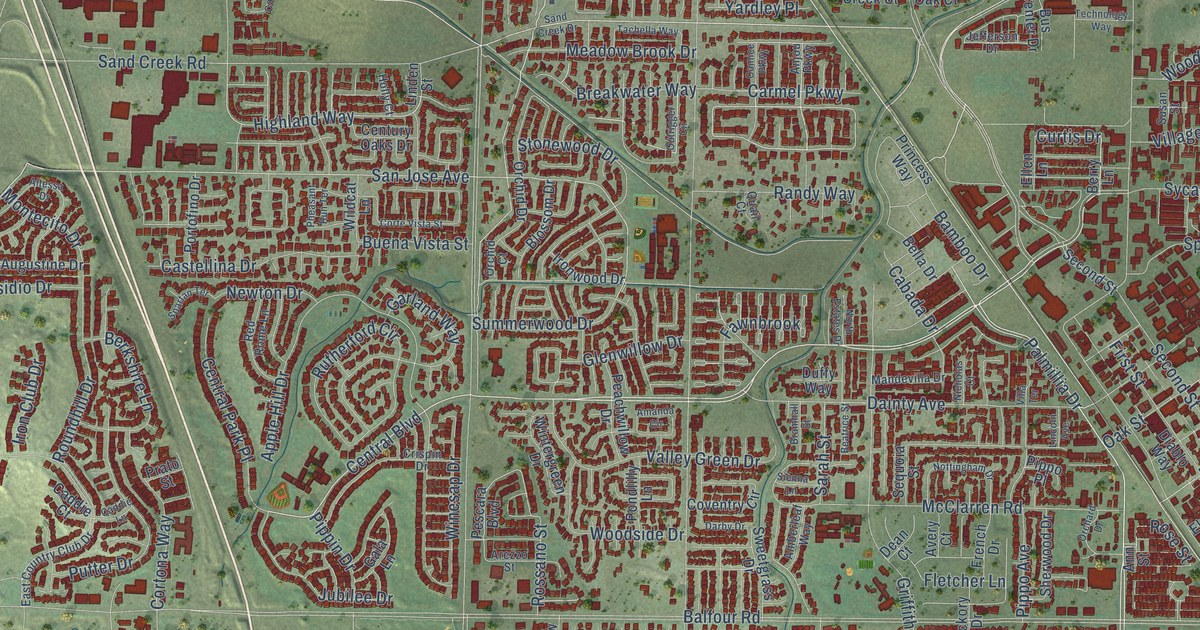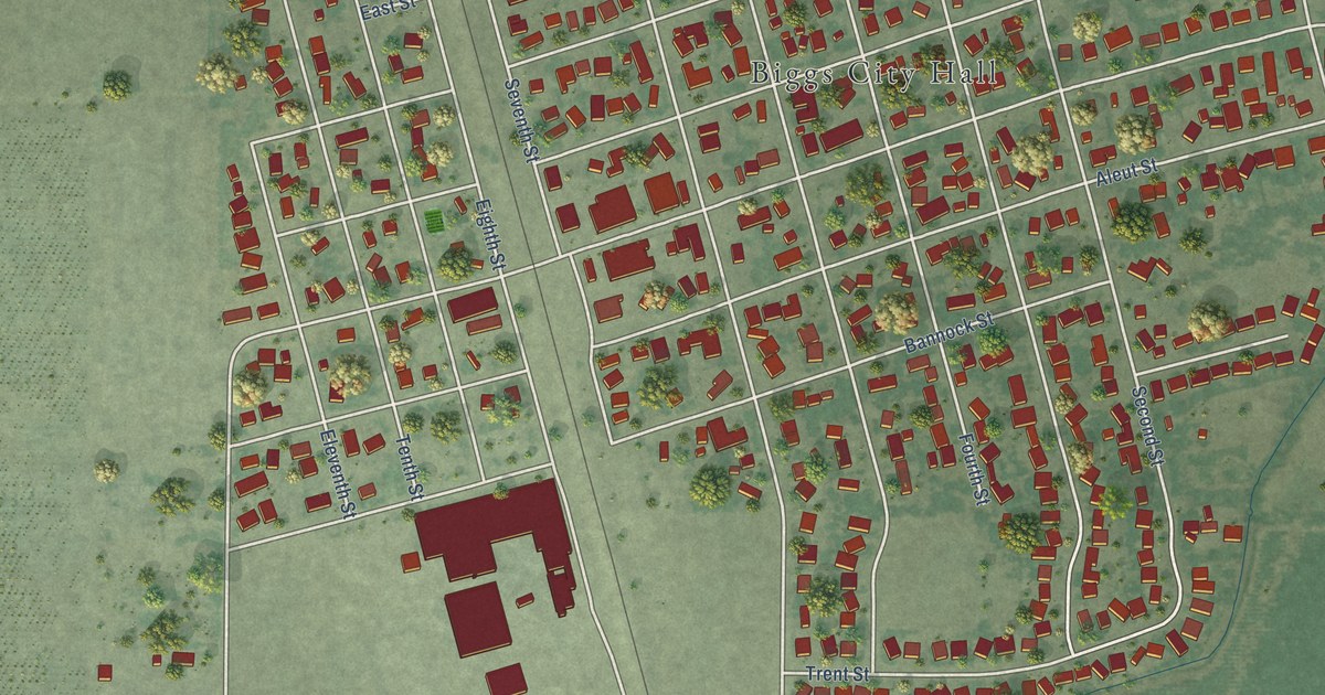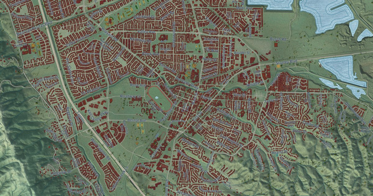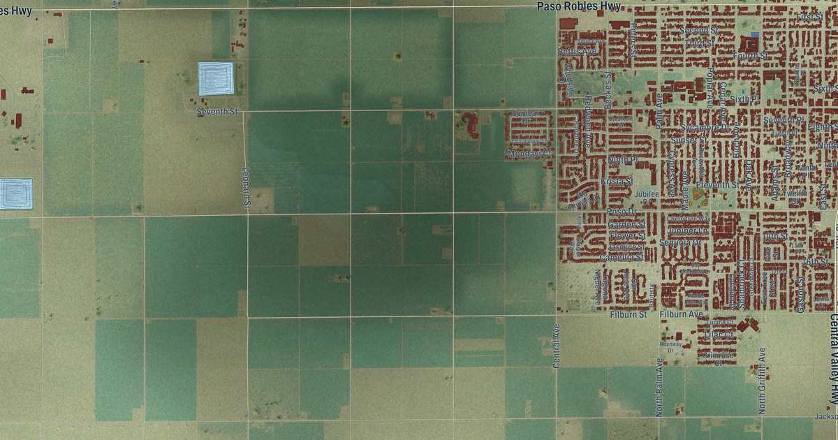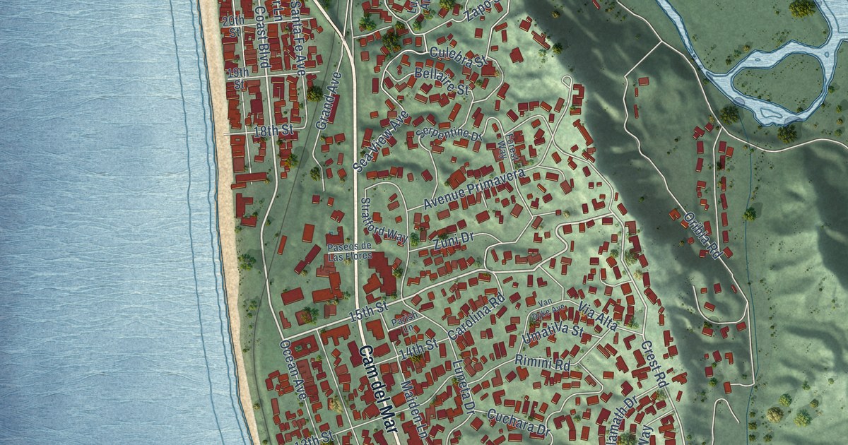
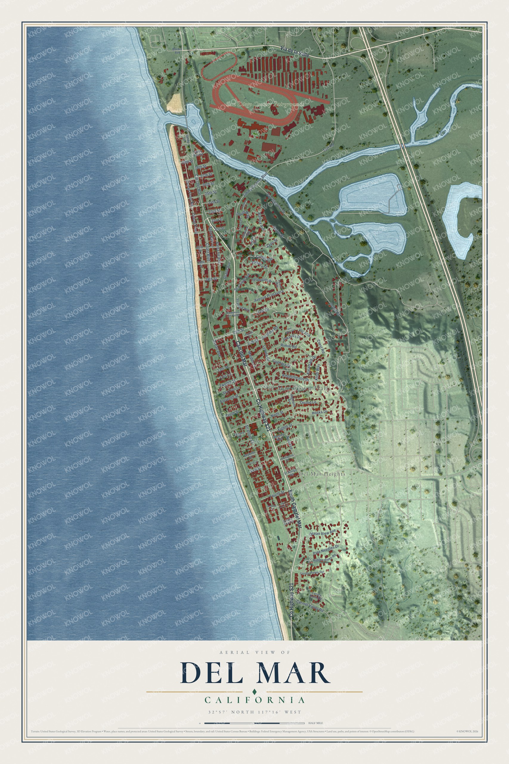
This beautifully detailed map of Del Mar, California was created in 2026 using aerial imagery combined with modern topographical, census, street and landmark data. It's a modern aerial view of Del Mar in San Diego County, California, that combines modern data with a vintage aesthetic. The roads feature printed names, and if you look closely you can find your exact house accurately shown in its correct location.
Explore an aerial view of Del Mar, California
On this map you'll find Del Mar Town Hall, Del Mar Heights, San Diego County Fairgrounds, Cam del Mar, Via de la Valle, South Cam del Mar, Co Highway S21, Coast Boulevard, 15th Street, Crest Road, Jimmy Durante Boulevard, Hoska Drive, and more. Each red shape is a building, so zoom in on the preview and look for yours.
Here is a piece of Del Mar history, in the words of the record. The National Register of Historic Places puts it this way: "Del mar, the first project, was created with a vision of becoming the 'Newport of the
Pacific/ Del Mar had come into existence in the land boom of the 1880's but had since
languished."
Del Mar is a city in San Diego County. The Census Bureau counted 3,954 people here in 2020.
Take a closer look at the Del Mar map
Names on this map
These names are printed on this map.
Places: Del Mar Town Hall, Del Mar Heights and San Diego County Fairgrounds.
Streets and roads: Cam del Mar, Via de la Valle, South Cam del Mar, County Highway S21, Coast Boulevard, 15th Street, Crest Road, Jimmy Durante Boulevard, Hoska Drive, Ninth Street, Tenth Street, Ocean Avenue.
More street names, A to Z
13th Street, 14th Street, 18th Street, 19th Street, 20th Street, 21st Street, 22nd Street, 23rd Street, 24th Street, 25th Street, 26th Street, 27th Street, 28th Street, 29th Street, Amphitheatre Drive, Avenue Primavera, Balboa Avenue, Bellaire Street, Border Avenue, Carmel Valley Road, Carolina Road, Christy Lane, Cuchara Drive, Culebra Street, David Way, Dolphin Cove Court, Eighth Street, El Amigo Road, Eleventh Street, Forest Way, Fourth Street, Gatun Street, Grand Avenue, Heather Lane, Hidden Pines Road, Highland Avenue, Kalamath Drive, Klish Way, La Amatista Road, Lois Lane, Luneta Drive, Luzon Avenue, Maiden Lane, Nob Avenue, Ocean Front, Ocean Front Road, Ocean View Avenue, Orchid Lane, Oribia Road, Parish Lane, Paseos de Las Flores, Pine Needles Drive, Rimini Road, Sand Barr Lane, San Dieguito Drive, Sandy Lane, Sandy Pointe, Santa Fe Avenue, Sea Forest Court, Sea Orbit Lane, Sea View Avenue, Seaview Avenue, Serpentine Drive, Seventh Street, Sherrie Lane, Shippey Lane, Sixth Street, Stratford Court, Stratford Way, Surfview Court, Torrey Pines Terrace, Torrey Point Road, Turf Road, Twelfth Street, Umatilla Street, Van Dyke Avenue, Via Alta, Wesley Way, Zapo Street, Zuni Drive.
Created by KNOWOL in 2026. The buildings are small red shapes, the roads carry their printed names, and shaded relief shows the shape of the land. The title panel reads "AERIAL VIEW OF DEL MAR CALIFORNIA" with 32°57' NORTH 117°16' WEST.
It suits a den, a classroom or a front hall, and it makes a gift for anyone with Del Mar roots. Open the preview and find the block you know. See sizes and frames for the Del Mar map.