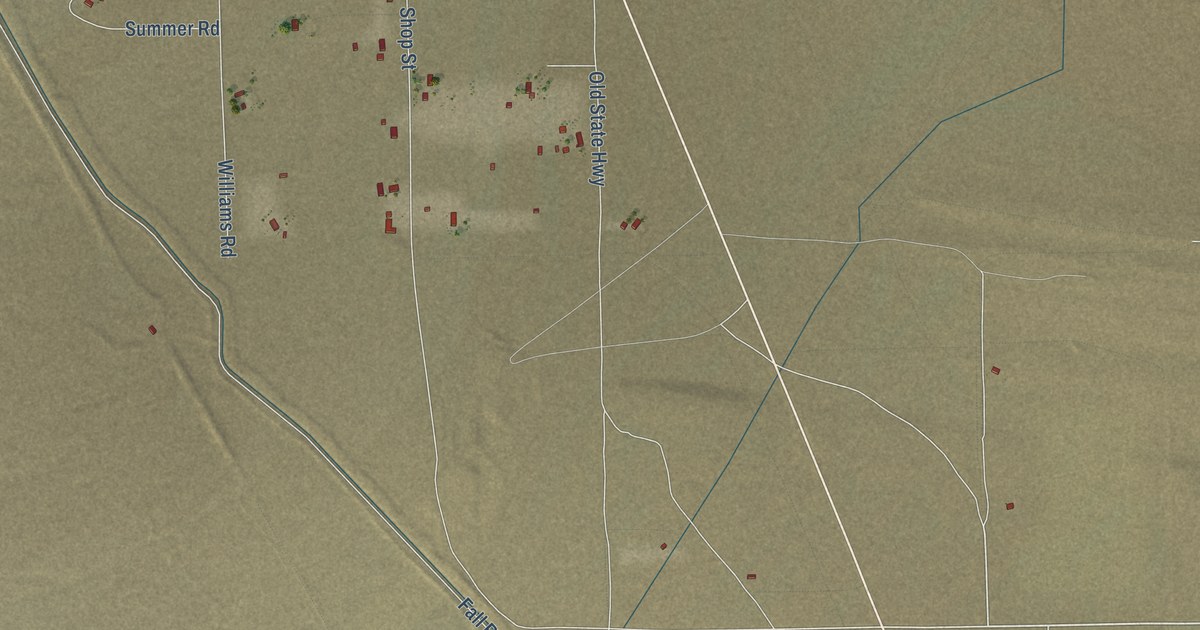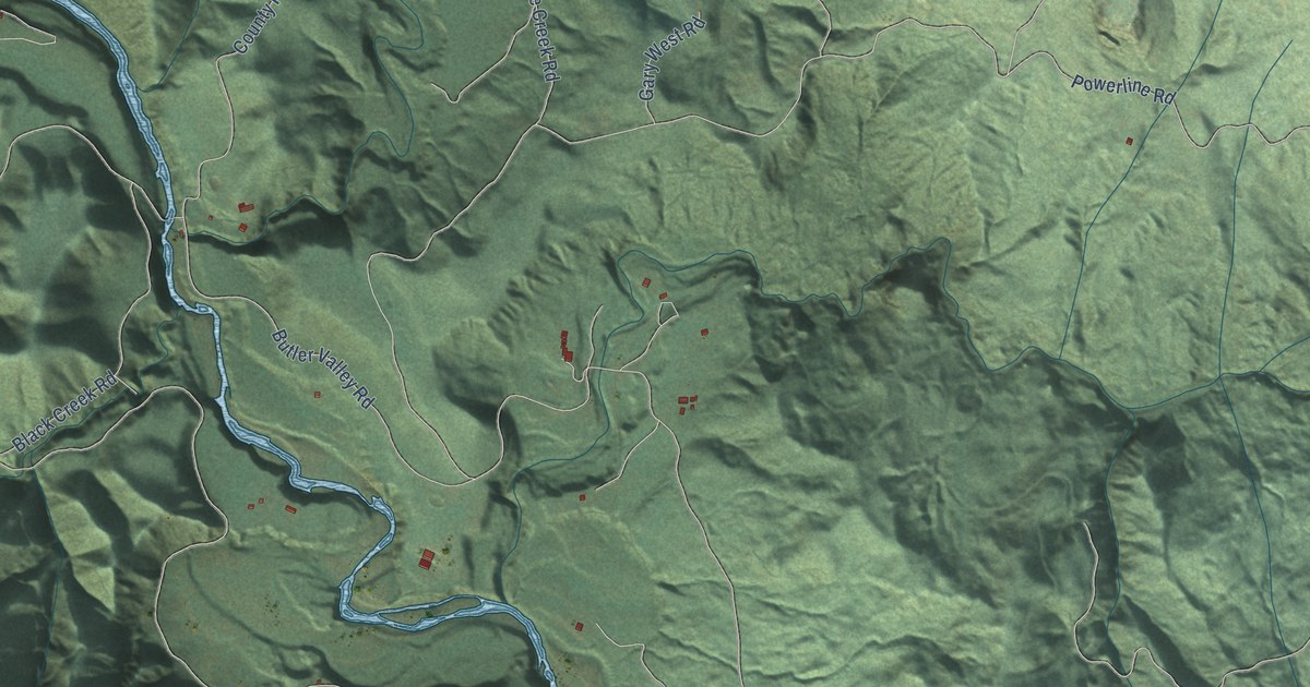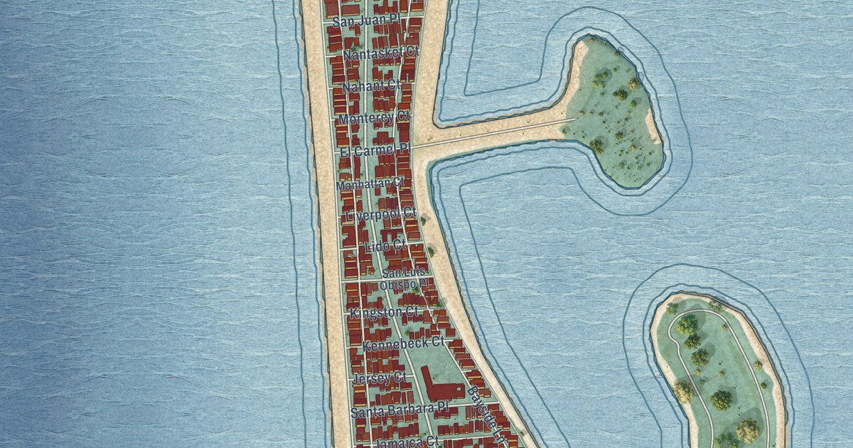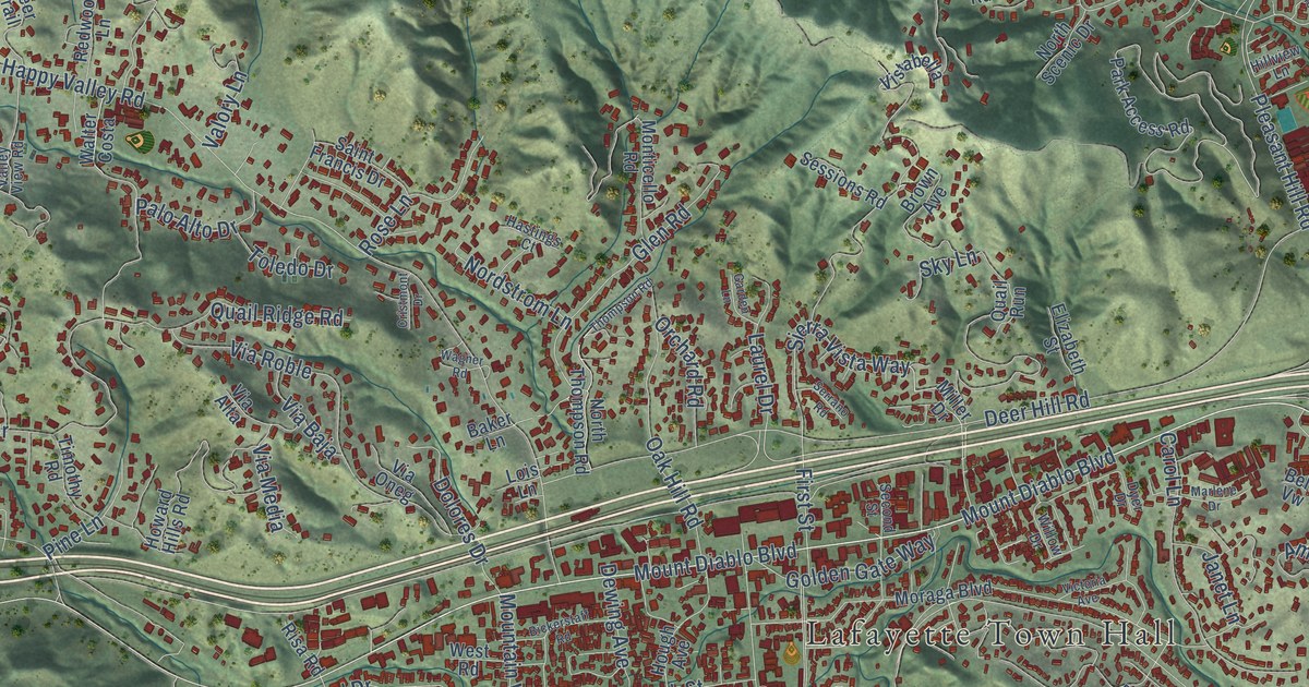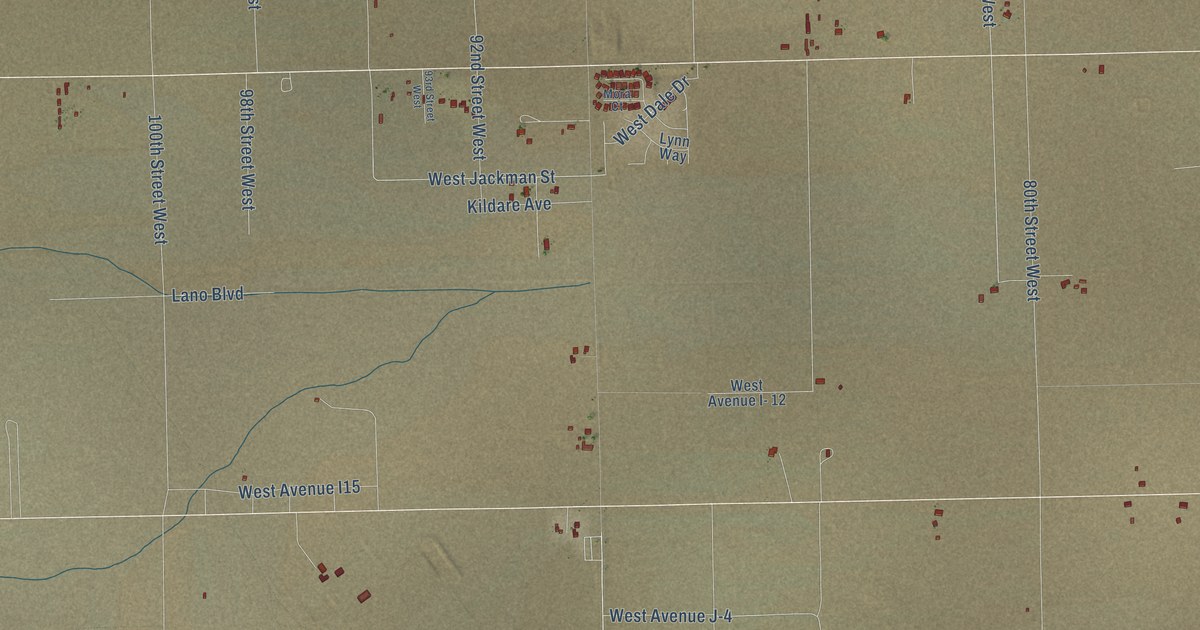
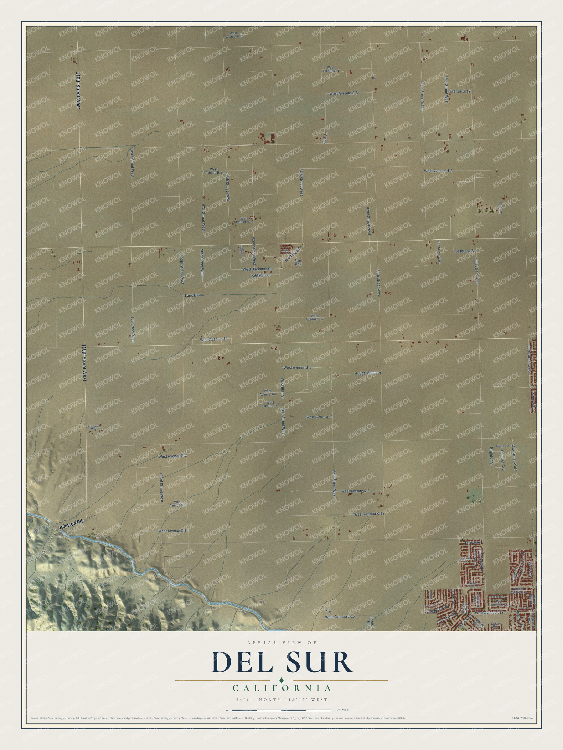
This beautifully detailed map of Del Sur, California was created in 2026 using aerial imagery combined with modern topographical, census, street and landmark data. It’s a one-of-a-kind view of Del Sur that combines accurate data with a vintage aesthetic. The map shows every building in its true location, many of the roads carry their names, and the shaded topographic relief shows the shape of the land.
Explore an aerial view of Del Sur, California
On the map you’ll find 110th Street West, Johnson Road, Camden Way, 92nd Street West, 85th Street, 85th Street West, West Jackman Street, 82nd Street West, 90th Street West, West 90th Street, Brighton Street, 72nd Street West, and more. If you look closely you can even find your house accurately drawn in its correct location. Zoom in on the preview to look for yours.
Did You Know?
From Internet Archive: "In the first heat Starr King indulged in some of his running, and Del Sur made it hot for Crown Point, who, however, managed to score the heat to his favor."
Del Sur is a community in Los Angeles County.
Take a closer look at the Del Sur map
Names on this map
These names are printed on this map.
Streets and roads: 110th Street West, Johnson Road, Camden Way, 92nd Street West, 85th Street, 85th Street West, West Jackman Street, 82nd Street West, 90th Street West, West 90th Street, Brighton Street, 72nd Street West.
More street names, A to Z
65th Street West, 66th Street West, 67th Street West, 70th Street West, 71st Street West, 73rd Street West, 75th Street West, 80th Street West, 87th Street West, 93rd Street West, 95th Street West, 97th Street West, 98th Street West, 100th Street West, 103rd Street West, 105 Street West, 105th Street West, Agave Avenue, Almond Valley Way, Andover Avenue, Avenue G-12, Biscay Street, Blueflax Avenue, Brittle Bush Drive, Freer Way, G-6, Hemlock Avenue, Highland Court, Hodge Mahal Drive, Ivesbrook Street, Kildare Avenue, Kingsview Drive, Lano Boulevard, Lupin Drive, Lynn Way, Lyric Avenue, Marsuerite Way, Mohave Rose Drive, Mora Court, Parkmount Drive, Purplebush Avenue, Raywood Drive, Ridgeview Drive, Ringstem Avenue, Round Hill Drive, Sandbur Lane, Silverwind Way, Sunnyslope Drive, Teasdale Street, Valley Vista Drive, West Avenue F-14, West Avenue G-4, West Avenue G-8, West Avenue H-4, West Avenue H-8, West Avenue H-10, West Avenue H-12, West Avenue I- 12, West Avenue I15, West Avenue J-4, West Avenue J-8, West Avenue J-10, West Avenue J-12, West Avenue K-2, West Avenue K-8, West Avenue K-12, West Avenue K-14, West Avenue K10, West Avenue L-15, West Avenue L7, West Avenue L10, West Avenue L11, West Avenue L12, West Dale Drive.
See it on a wall
The Del Sur map as a framed print. Swipe for more.


This beautifully detailed map of Del Sur makes an attractive addition to your office, library, or den, and it can even be used to teach children the geography and history of the area. It also makes a great gift for anyone who grew up in Del Sur or moved away. When you’re done exploring, click here to get your copy of the Del Sur map.