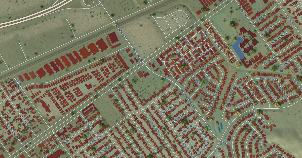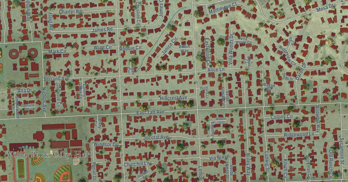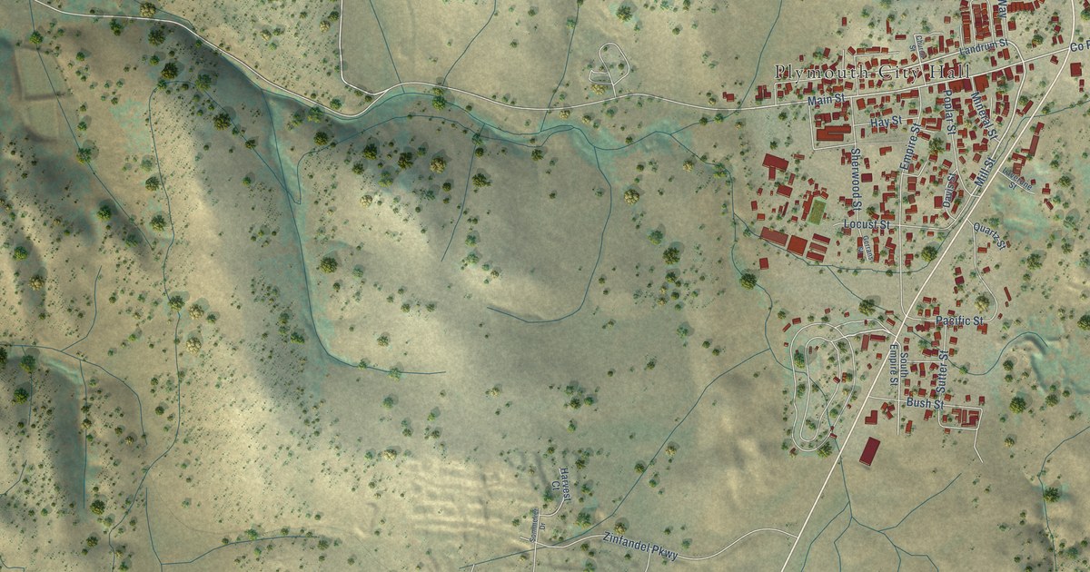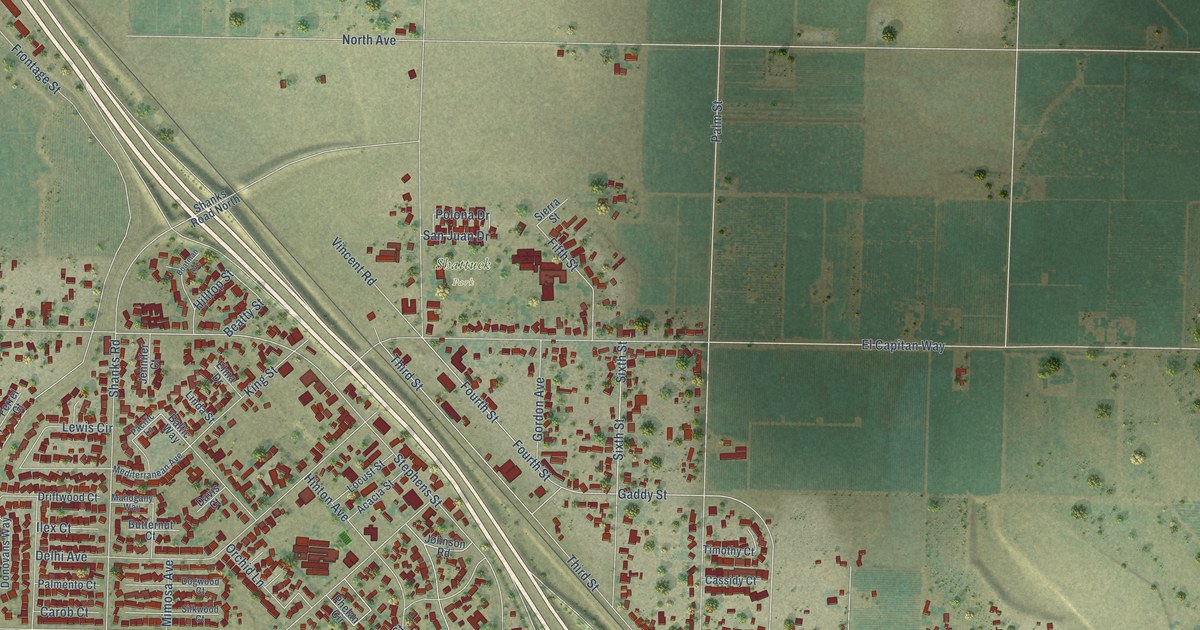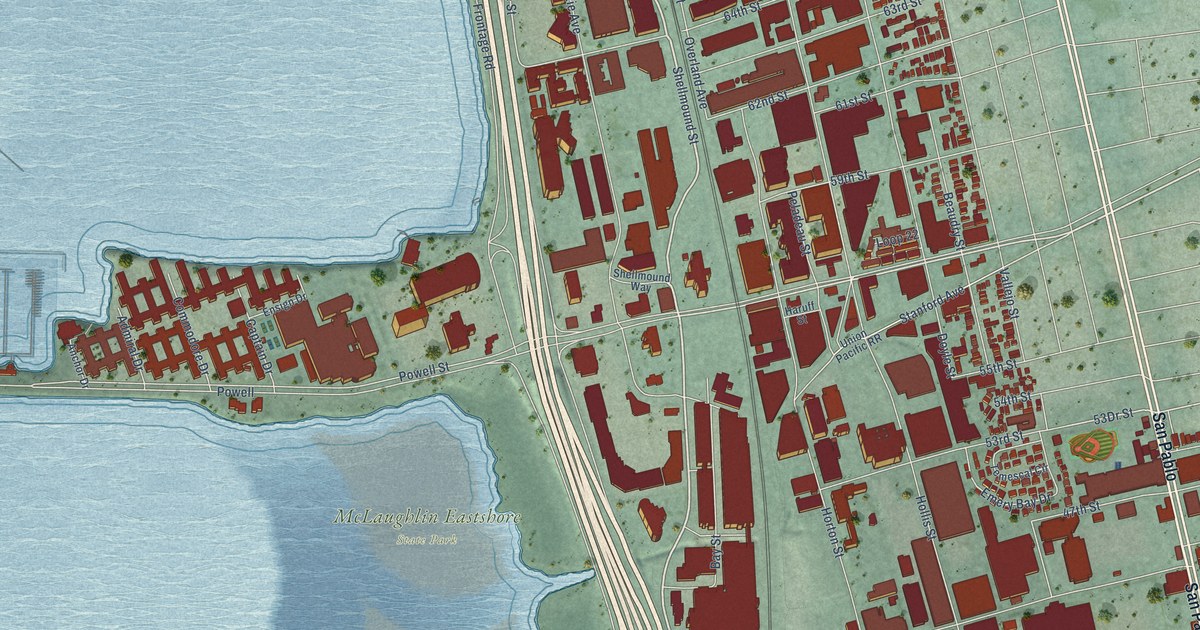
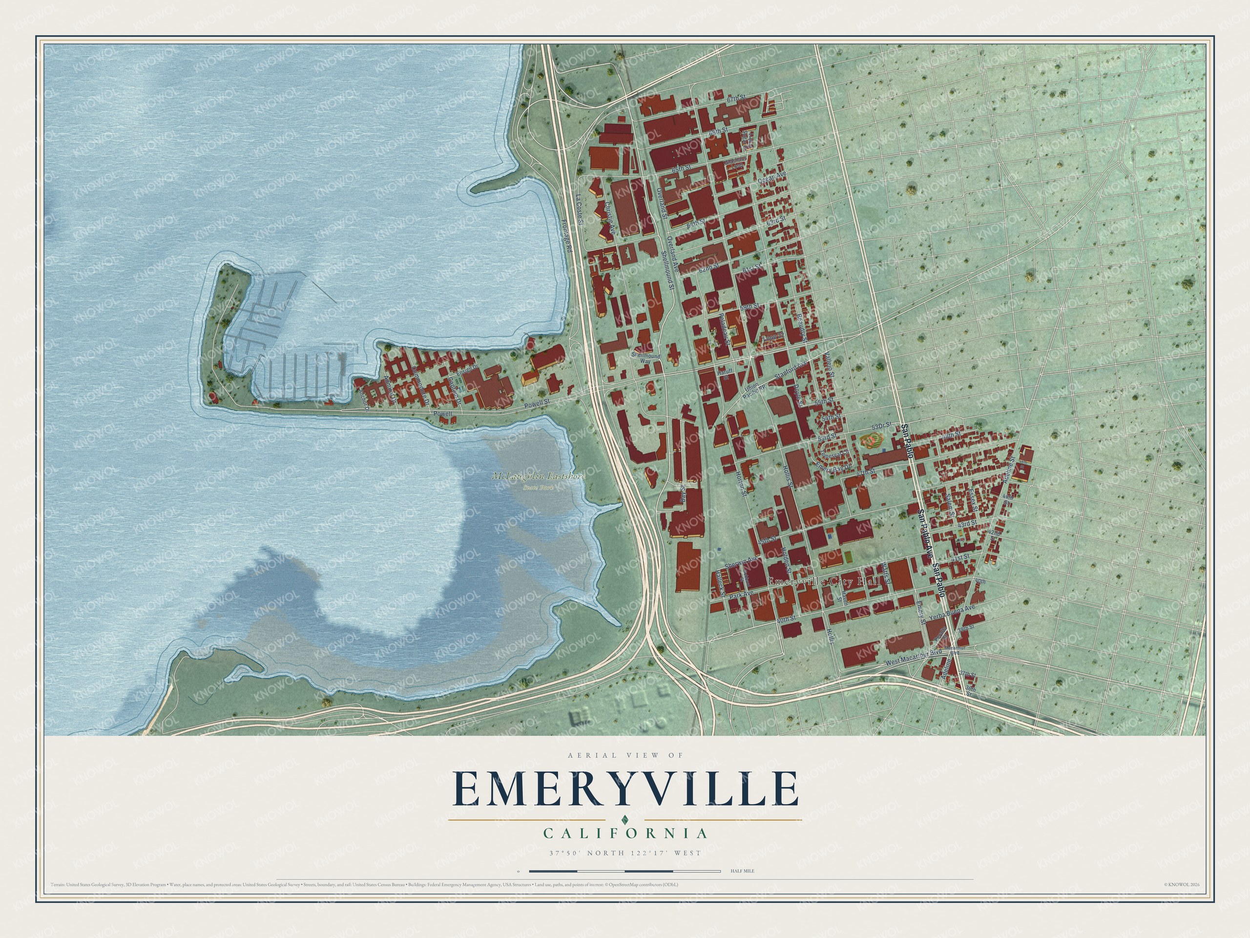
This beautifully detailed map of Emeryville, California was created in 2026 using aerial imagery combined with modern topographical, census, street and landmark data. It's a modern aerial view of Emeryville in Alameda County, California, that combines modern data with a vintage aesthetic. The roads feature printed names, and if you look closely you can find your exact house accurately shown in its correct location.
Explore an aerial view of Emeryville, California
On this map you'll find Emeryville City Hall, McLaughlin Eastshore State Park, San Pablo Avenue, San Pablo, Shellmound Street, Bay Street, Powell Street, Powell, Watts Street, 53rd Street, 53Dr Street, Stanford Avenue, and more. Each red shape is a building, so zoom in on the preview and look for yours.
Every town has a first chapter, and Emeryville is no exception. The National Park Service puts it this way: "Beginning in 1907, Emeryville's entertainment based economy began to shift to an industrial base."
Emeryville is a city in Alameda County. The Census Bureau counted 12,905 people here in 2020.
Take a closer look at the Emeryville map
Names on this map
These names are printed on this map.
Places: Emeryville City Hall and McLaughlin Eastshore State Park.
Streets and roads: San Pablo Avenue, San Pablo, Shellmound Street, Bay Street, Powell Street, Powell, Watts Street, 53rd Street, Stanford Avenue, La Coste Street, Halleck Street, Overland Avenue.
More street names, A to Z
36th Street, 37th Street, 39th Street, 40th, 40th Street, 41st Street, 42nd Street, 43rd Street, 44th Street, 45th Street, 46th Street, 47th Street, 48th Street, 54th Street, 55th Street, 59th Street, 61st Street, 62nd Street, 63rd Street, 64th Street, 65th Street, 66th Street, 67th Street, Adeline, Adeline Street, Admiral Drive, Anchor Drive, Beaudry Street, Captain Drive, Christie Avenue, Commodore Drive, Doyle Street, Emery Bay Drive, Emery Street, Ensign Drive, Essex Street, Frontage Road, Glashaus Loop, Haruff Street, Haven Street, Holden Street, Hollis, Hollis Street, Horton Street, Hubbard Street, Liquid Sugar Drive, Loop 22, Macarthur Boulevard, Ocean Avenue, Overland Street, Park Avenue, Peladeau Street, Peralta Street, Salem Street, Shellmound Way, Sherwin Avenue, Temescal Circle, Union Pacific RR, Vallejo Street, West Macarthur Boulevard, Yerba Buena Avenue.
Created by KNOWOL in 2026. The buildings are small red shapes, the roads carry their printed names, and shaded relief shows the shape of the land. The title panel reads "AERIAL VIEW OF EMERYVILLE CALIFORNIA" with 37°50' NORTH 122°17' WEST.
Hang it in the hallway, the office or the cabin, or give it to someone who left Emeryville and still calls it home. Open the preview and look for a street you know. See sizes and frames for the Emeryville map.