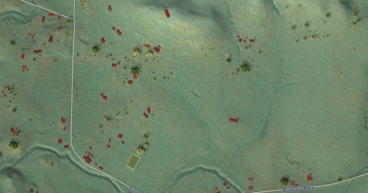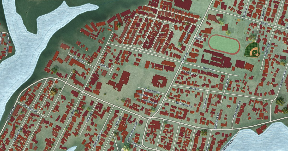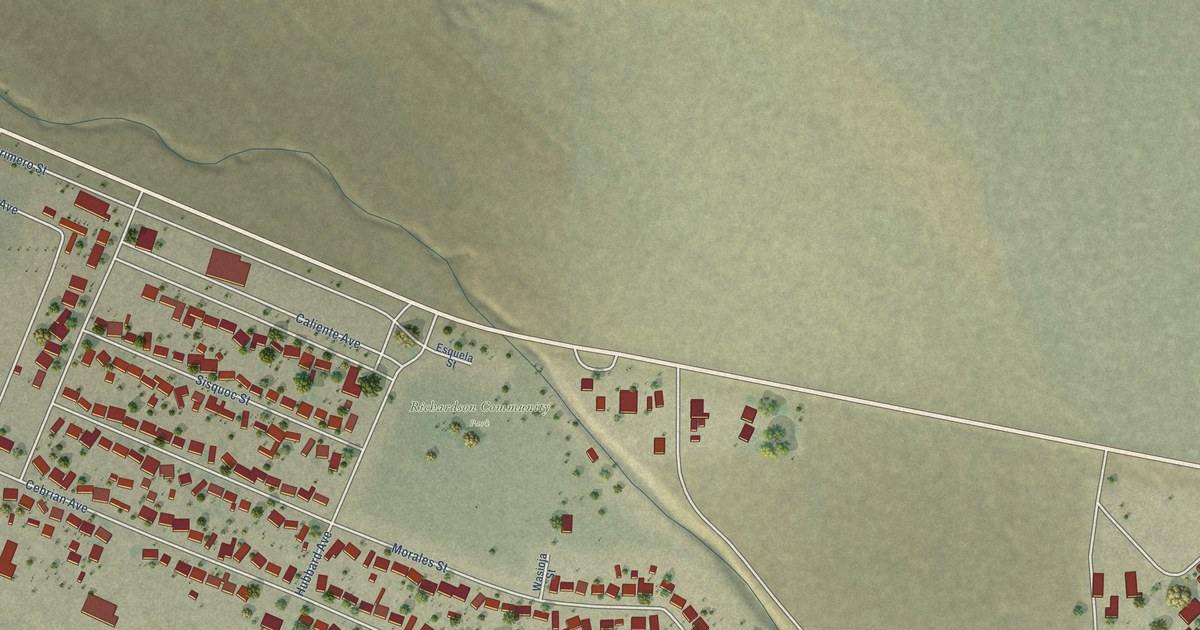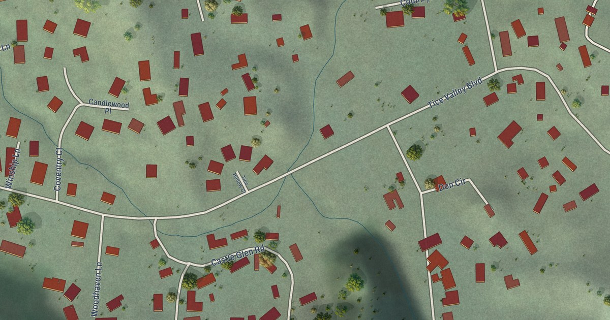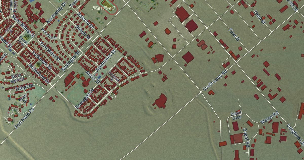
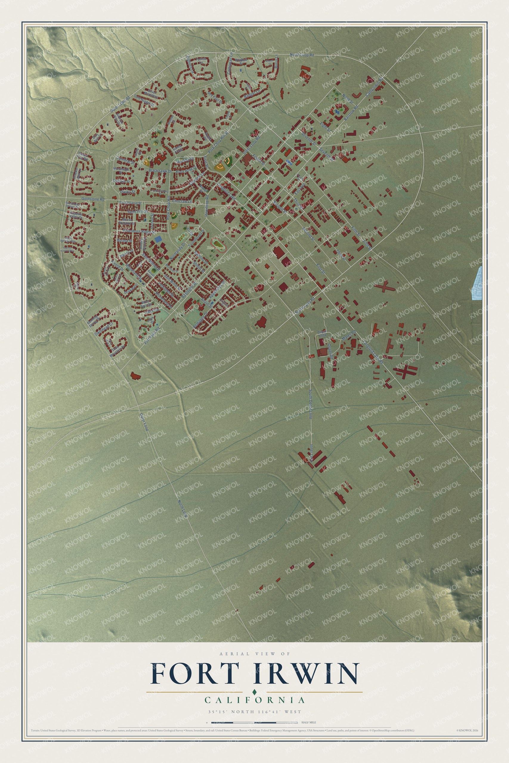
This beautifully detailed map of Fort Irwin, California was created in 2026 using aerial imagery combined with modern topographical, census, street and landmark data. It's a modern aerial view of Fort Irwin in San Bernardino County, California, that combines modern data with a vintage aesthetic. The roads feature printed names, and if you look closely you can find your exact house accurately shown in its correct location.
Explore an aerial view of Fort Irwin, California
On this map you'll find Blue Track, South Loop Road, North Loop Road, Fifth Street, Outer Loop Road, First Street, Third Street, Langford Lake Road, Saint Mihiel Street, North Loop, Outer Loop, Rhineland Drive, and more. Each red shape is a building, so zoom in on the preview and look for yours.
Every town has a first chapter, and Fort Irwin is no exception. Fort Irwin began on August 8, 1940, when President Franklin D. Roosevelt set aside about 1,000 square miles of the Mojave Desert as an anti-aircraft training range. In 1942 it became Camp Irwin, named for Major General George LeRoy Irwin, who led the 57th Field Artillery Brigade in World War I. General Irwin came from a military family, and his father, also a general, was one of the first men to receive the Medal of Honor. In 1961 the post was renamed Fort Irwin and made a permanent installation. That's from the San Bernardino County history series.
Fort Irwin is a community in San Bernardino County. The Census Bureau counted 8,096 people here in 2020.
Take a closer look at the Fort Irwin map
Names on this map
These names are printed on this map.
Places: Blue Track and Langford Lake.
Streets and roads: South Loop Road, North Loop Road, Fifth Street, Outer Loop Road, First Street, Third Street, Langford Lake Road, Saint Mihiel Street, North Loop, Outer Loop, Rhineland Drive, Barstow Road.
More street names, A to Z
Alvord Drive, Antietam Street, Anzio Street, Apache Drive, Apennines Street, Badger Lane, Bastogne Street, Bataan Loop, Bighorn Lane, Bitter Springs, Blackhawk Drive, Black Hawk Drive, Blue Bell Court, Bobcat Court, Buena Vis, Burma Street, Burro Lane, Calico Court, Cambrai Street, Camp Irwin Road, Chinook Lane, Choctaw Lane, Cottontail Lane, Coyote Cv, Cracker Jack Lane, Daisy Mine Court, Denning Spring Drive, Depot Loop, Depot Road, Desert King Road, Drinkwater, East Avenue, Eight Street, Elsenborn Ridge Street, Fort Irwin Road, Fourth Street, Fredricksburg Street, Garlic Springs Way, Gold Nugget Drive, Goldstone Road, Gopher Lane, Guadalcanal Street, Hidden Spring Court, Inchon Street, Inner Loop, Inner Loop Road, Innerloop Road, Irwin Drive, Leach Lake Way, Lo Street, Mates Road, Meuse Argonne Street, Monmouth Street, Monterey Street, Nancy Street, Navajo Street, Ninth Street, Normandy Drive, Omaha Beach Street, Owlshead Court, Pleiku Street, Pork Chop Hill, Pork Chop Hill Street, Red Pass Drive, Remagen Drive, Rhineland Street, Saint Vith Street, Salerno Drive, Santiago Street, Second Street, Seventh Street, Shiloh Street, Sicily Drive, Silurian Hills Drive, Silver Mine Way, Soda Mountain Drive, South Depot Loop, Spanish Canyon Way, Sumter Street, Superior Valley Court, Sweetwater Springs Drive, Ticonderoga Drive, Tiffort Drive, Tortise Lane, Tunisia Street, Valley Forge, Whiptail Street, Yorktown Street.
See it on a wall
The Fort Irwin map as a framed print. Swipe for more.


Created by KNOWOL in 2026. The buildings are small red shapes, the roads carry their printed names, and shaded relief shows the shape of the land. The title panel reads "AERIAL VIEW OF FORT IRWIN, CALIFORNIA" with 35°15' NORTH 116°41' WEST.
Hang it in the hallway, the office or the cabin, or give it to someone who left Fort Irwin and still calls it home. Open the preview and look for a street you know. See sizes and frames for the Fort Irwin map.